Currency, Time & Weather
New Zealand Dollar (NZD) - see images of different denominations of these banknotes at www.banknotes.com

New Zealand Dollar (NZD) - see images of different denominations of these banknotes at www.banknotes.com
The map coordinates are:
36.8621448° S, 174.58528° E
Hopefully you are able to see the google map, if not, click on the following link:
Map.
Click on the section headings below to open that particular section (if the icon is showing) or close it (if the icon is showing). You have the option of deciding whether opening a section closes all others, or keeps the open ones showing.
You can press this button to go to the section that you last opened on your previous visit to this website.
We have wanted to go to New Zealand (in Maori Aotearoa - translation The Land of the Long White Cloud) for many years now and this year we finally decided to go. Quite a number of our friends have been there, some more than once, and all have loved the experience. The scenery is stunning - the Lord of the Rings movies were shot there for the jaw-dropping backdrops, the driving (outside of Auckland) is relaxing and the country is only sparcely populated by friendly people. The population of New Zealand is 4.7 million: of the 3.7 million living on the North Island (Te Ika-a-Maui) 1.4 million live in Auckland, while only 1 million live on the whole of the South Island (Te Waipounamu)!
New Zealand was discovered and settled by Polenesians around 1300 AD, about 350 years before Abel Tasman became the first European to sight the Islands. Captain James Cook circumnavigated and charted the islands just over 100 years later. New Zealand became part of the British Empire in 1840 under the Treaty of Waitangi and became a Dominion in 1907. The 1931 Statute of Westminster provided for it, along with the other Dominions, to become a Realm, allowing it to have full legislative independence as an equal member of the British Commonwealth of Nations, having, together with the United Kingdom, one person as the sovereign of each (see: Wikipedia).
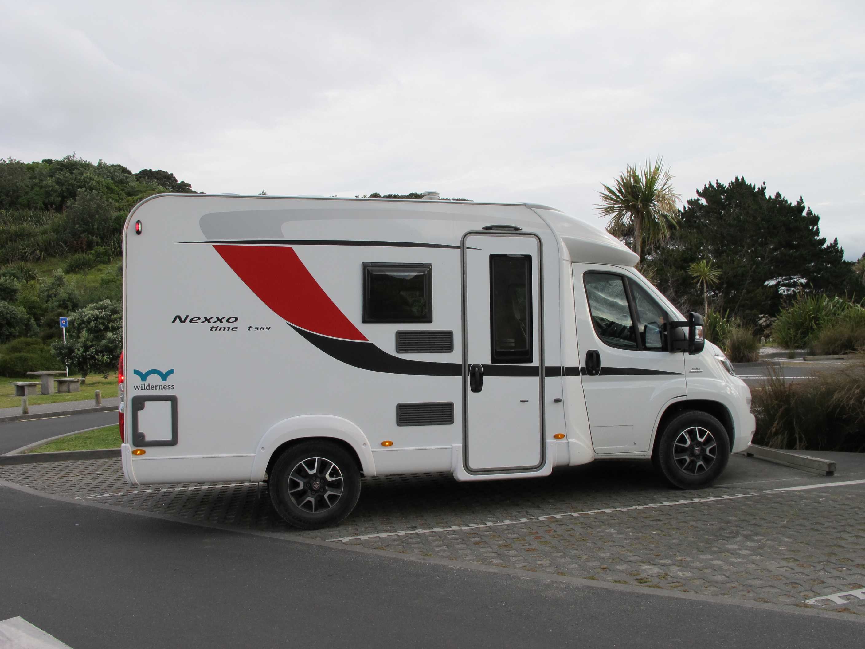
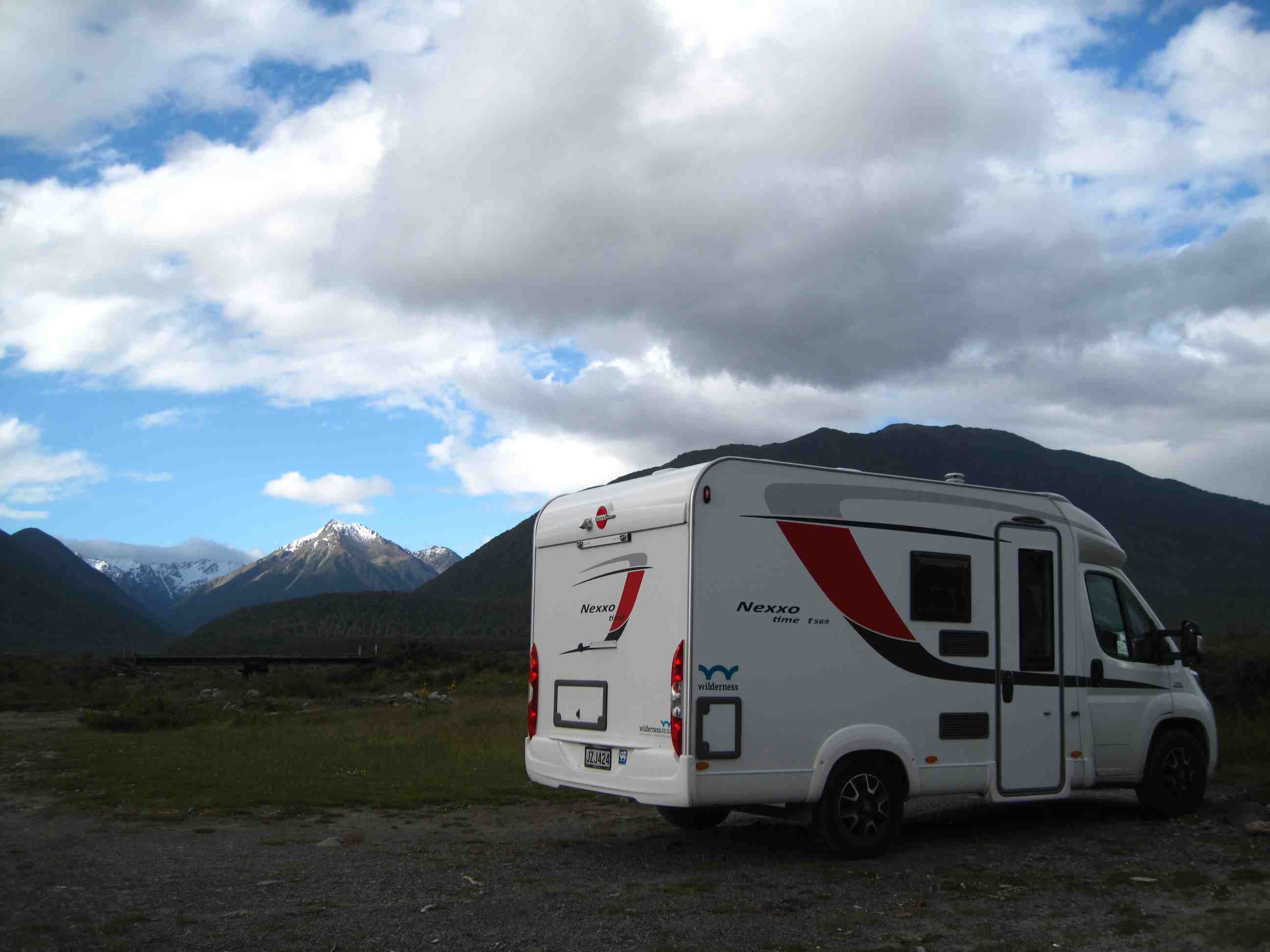
There is a diverse mixture of landscapes including, snowy mountains, glaciers, waterfalls, lakes, fiords, islands, geothermal springs, caves, beaches and ancient forests. There are 14 national parks and lots of walks. We plan to stay 6 weeks in New Zealand and to make the most of it we have hired a Wave 2 motorhome from Wilderness Motorhomes. We will spend half the time travelling around the North Island, then we plan to take the Interislander Cook Strait ferry, which is reputed to be one of the most beautiful ferry crossings in the world, to spend another 3 weeks touring the South Island. We joined Top10-New Zealand, a holiday home/campsite franchise for the sum of NZ$49 fo two years' membership, which provides us with a 10% discount off the cost of staying overnight on the various sites. It also provides (amongst other things) a 10% discount off the InterIslander ferry tickets. This discount more than pays for the cost of membership!
The proposed route for our tour of the South Island had to be changed, since a short while before we were due to leave we found that it is currently not possible to get from Picton to Kaikoura using SH1 (Southern Highway 1) as the road suffered extreme damage in the major earthquake of 2016. We will keep an eye on the staus of rapairs on the website: Earthquake Response. This meant rerouting our journey via Murchison and the Lewis Pass.
If you are looking for a description of NZ cities to visit and restaurants and shops to go to you will be disappointed with this blog. We tend to shun cities and are more interested in the outdoors and visiting out of the way places.
Neil spent quite a bit of time investigating various aspects of the holiday. He downloaded apps for the iPad and saved quite a few websites on his Chrome browser's "favourites bar".
| Resource | Description |
|---|---|
| Wilderness NZ (iPad app) | NZ Travel App with lots of detail |
| Essential NZ (iPad app) | NZ Travel Guide |
| Rankers - Camping NZ (iPad app) | All NZ campsites |
| Triposo (iPad app) | Smart (offline) Travel Guide |
| Campable (iPad app) | Upper market campsites |
| NZ Frenzy (N) | Travel book for North Island |
| NZ Frenzy (S) | Travel book for South Island |
| DOC - NZ | Department of Conservation - information |
| New Zealand | NZ Travel website |
| i-Sites | i-Site Visitor Information website |
| Blog | Travel Blog for Wilderness customers |
| Ferry Information | InterIslander Ferry information |
| Roadworks | NZ Roadworks Information |
Some lessons learned from the holiday:
"The most mischievous animal here is the small black sandfly, which are exceedingly numerous, wherever they light they cause a swelling and such intolerable itching that it is not possible to refrain from scratching and at last ends in ulcers like the small pox".
night |
kms |
Overnight Stay at |
Cost/night |
Facilities |
Wow Factor |
Photos |
|---|---|---|---|---|---|---|
| 1 | 14500 | Quality Hotel CKS Syndey Airport | £100 | 4 |
When we researched the trip it became obvious pretty quickly that the best way to handle the long flying time would be to go business class. Flying economy class in an upright seat for more than 12 hours would be a poor way to start our trip of a lifetime. We did that on our trip 2 years previously to Machu Picchu, Lake Titikaka and the Galopagos Islands and we agreed not to do this again. So we set off with a budget in mind to see Zoe at Century Travel in Paphos. Zoe first looked at Emirates business class flights from Larnaca to Auckland via Dubai and Qatar flights via Doha, but these exceeded our nominal budget. She looked at other possibilities, which weren't really viable. At last she came up with the idea of flying with Qatar from Larnaca to Sydney, business class return and having a return economy flight of about 4 hours from Sydney to Auckland, which came in under our nominal budget. Sue has never flown business class before so she was almost as excited at the plane journey than the holiday itself, especially after seeing this review showing the features of business class on Qatar's Airbus A380 and watching the following Youtube video.
| From | To | Date | Duration | Description |
|---|---|---|---|---|
| LCA | DOH | Day 1 | 3.5 hrs | Qatar Business class |
| Day 1 | 2 hrs | Al Mourjan business lounge | ||
| DOH | SYD | Day 1 | 15 hrs | Qatar Business class |
| Day 2 | 40 hrs | Stopover in Sydney | ||
| SYD | AKL | Day 4 | 3 hrs | Qantas Economy class |
| Day 4 | 42 days | Holiday in NZ | ||
| AKL | SYD | Day 46 | 3.5 hrs | Qantas Economy class |
| Day 46 | 4 hrs | Qantas business lounge | ||
| SYD | DOH | Day 46 | 14 hrs | Qatar Business class Upgraded to First class! |
| Day 47 | 2 hrs | Al Mourjan business lounge | ||
| DOH | LCA | Day 47 | 4 hrs | Qatar Business class |
We set out for Larnaca (Λάρνακα - LCA) the day before our plane journey and stayed at a small hotel overnight. This saved us from doing the 3 hour car journey from our home in Argaka (Αργάκα) just before having to arrive at the airport. Before setting out we cleaned the villa. Our friend Olav asked why do this as it would only get dusty before we go back. Sue agreed but pointed out that it would be "clean" dust. We stopped off at Governor's Beach for lunch (Sea Bream and Sea Bass), which was excellent. Neil said he knew the way from there, but missed a turning and we ended up touring the small roads and alleyways of Larnaca. It was fun trying to find the hotel, then even more fun trying to find a parking space. The hotel room had a very nice new bathroom, but Sue was a bit miffed that the hot water wasn't hot. A suggestion was made that the taps were the wrong way round and sure enough turning on the cold tap caused a lovely warm spray of water to come out of the shower. We also had to celebrate the start of our holiday with wine out of one wine glass and one tumbler, but that was fine.
We got up early on Monday morning to travel the short journey to the airport. We left our car at Park and Save, a couple of kilometres from the airport. Neil had contacted them and asked what sort of a deal they could give for parking for 47 days, they came back with the offer of €45! It beats Gatwick any day. Arrived a few minutes before the Qatar check-in opened. A very pleasant girl on the Business Class desk gave us our tickets and the pass for the Aspire Lounge. Having a snack while I update the blog!
No sooner had we got on the plane than champagne appeared. Had a lovely meal served by friendly air stewardesses. At first it looked as if we were on the wrong plane as it trvelled North to Turkey, but then it travelled east in Turkish airspace before heading South down a very impressive mountain chain (the Zagros Mountains) separating the Iraqi Mesopotamian Plain from the Iranian Plateau. I assume we flew via Iranian airspace because of the ban by the Saudis and their friends on Qatar using their airspace. We had a lovely girl checking our hand-luggage in Doha and an interesting chat with a supervisor in the Al Mourjan Business Lounge, who insisted on bringing us yet another glass of champagne.
Got on the A380 and Sue immediately went to see the bar and was well impressed. Then we sat down and had the (seemingly) obligatory glass of champagne as well as a lovely lime and mint drink. We had a very good meal and after a few minutes tuition from Neil on how to work the Android-based personal entertainment system Sue visited the bar, followed shortly afterwards by Neil. The bartender taught Sue a couple of magic card tricks an then it was changing into pyjamas and getting into our beds that the air stewardesses had made up in our absence.
Well finally arrived in Sydney. Had a great time on the plane, sleeping in PJs fully reclined. Last night Neil was the last one to leave the bar and several of the stewards/stewardesses said goodnight as they passed by him for their rest period. When they came back through the bar in the morning he was sat there having a cup of tea. I'm sure they thought he'd not left the bar all night! Got off the plane and through immigration and customs very quickly and caught the Ready2Go shuttle to our hotel (about 5 minutes away). Going to Sydney harbour tomorrow.
night |
kms |
Overnight Stay at |
Cost/night |
Facilities |
Wow Factor |
Photos |
|---|---|---|---|---|---|---|
| 4 | 2200 | Best Western BKs Pioneer Motor Lodge (airport) | £80 | 4 |
Got up early and walked 15 minutes to Wolli Creek train station, where we boarded a double-decker train to get to Circular Quay. Sue wanted to go upstairs to take in the sights. but since 99% of the journey was underground she didn't get to see much. Once at the quay we bought a Hop-on-Hop-off ticket for a boat which went around the bay, as far as Manley then back to Circular Quay via Darling Harbour. We didn't actualy get off, so we could probably have done the journey via regular ferries for a much lower cost than $45 each, but we were in a rush to see as much as we could. The ticket also covered a trip on the fast ferry to Manley and we thought we might try this later, but we ran out of time.
Next we bought a Hop-on-Hop-off bus ticket (another $45 each), that covered us for the city as well as a trip out to Bondi Beach. We boarded the city tour bus, but got off at stop 3 to transfer to the Bondi Bus. Sydney Centre is in a bit of chaos at the moment while the introduce a tram system, so there are lots of traffic delays and it took about 20 minutes before the bus arrived. We rode all the way to Bondi, where we got off and decided to walk along the "clifftop path". This was very pleasant and you get some really good views of the surfers in the bay and the sun worshippers on the beach. For the next month or so there is a sculpture park along the walk and as you travel along it you are confronted by various modern sculptures. The first one we saw was a giant dragon-fly made out of various items of shiny metal. The sculptures, made by various local artists, were actually very interesting, if a little avant garde.
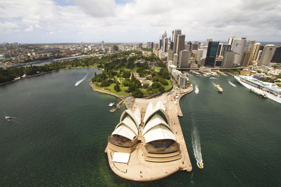
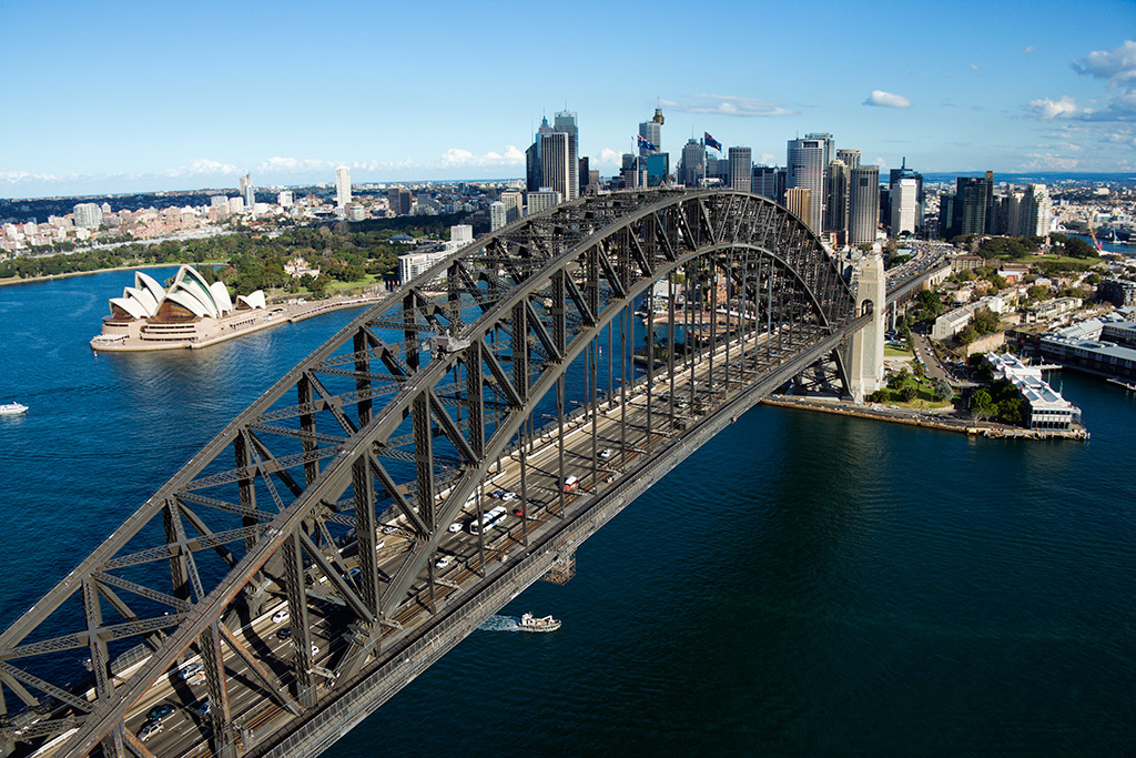
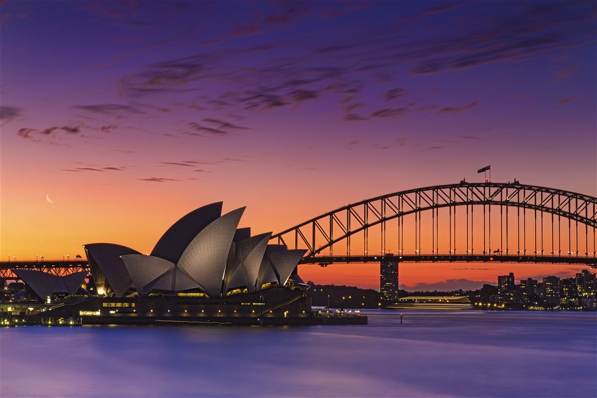
Then we got back on the bus to take it all the way back to stop 3, where we changed busses again and completed the city tour. It was funny to see the comparison between the new shiny steel and glass buildings that often sat side by side with slightly rundown dwellings and shops that also looked architecturally interesting in their own way. By the time we'd done that it was too late to go to Manley, so we walked around the corner to see and photograph the Opera House and Bridge as the sun went down. Then we had dinner al fresco at an Italian Restaurant, where we chatted with a couple who were English but had moved to Perth 27 years ago. He was a golfer and a used car salesman and his wife was a teacher. It was their first time in Sydney and they wanted to know what we had done. After the meal we caught the train back to Wolli Creek then walked back to our hotel. We catch the plane tomorrow to fly to Auckland - can't wait.
We got up relatively early to go to the airport, but not as early as we would have had to if we had not changed the time of our shuttle bus from 6:15am to 7:45. The lady on the desk had said we should allow 1 hour to get to the airport terminal, which in actuality only took us 20 minutes (most of that waiting for other passengers and visiting another hotel). She also said we should allow 3 hours to get through check in and get to the gate, whereas 2 hours was more than enough. It was relatively painless checking in - a nice young lady helped us through the self-service procedure. We weren't overly impresed with the Qantas (economy) flight - the seats weren't the best and the food was pretty bad, though Neil did eat both our bars of ice-cream, or what passed for ice-cream on this flight.
When we landed at Auckland we had to go the biohazard screening service as we had ticked the box that said we had outdoor equipment with us (boots, walking sticks, masks and snorkels). They took our word for it that we had cleaned and disinfected these before we packed them, so we didn't have to unpack the case they were in, which was Sue's nightmare scenario. All in all we were off the plane and phoning for our shuttle within an hour and a quarter and that included stopping off at the Spark (telephone) kiosk to get an NZ sim card with a (3GB) 2-month plan. Spark used to be NZ's official telecom provider before it went public. They have turned all 1,000 of their phone boxes into WiFi hotspots and as a customer you can use up to 1GB per day this way. We'll use the Android phone that our son Philip gave us as a WiFi hotpot for the iPad and Surface Pro that we have brought with us to keep in touch with civilisation while we travel round
We had a 5 minute walk to a very nice Indin-Chinese restaurant tonight. The food and wine was very good and the service excellent. Now it is straight to bed in readiness for being collected at 8:30 tomorrow morning to collect our rental motor home and truly start our new Zealand adventure - can't wait.
night |
kms |
Overnight Stay at |
Cost/night |
Facilities |
Wow Factor |
Photos |
|---|---|---|---|---|---|---|
| 5 | 200 | Ruakaka - On the beach (Freedom Camping) | 0 | 4 |

We are learning as we go. A couple days and we will be pros! We soon learnt that everything has to be packed tight and doors opened carefully after driving on bumpy roads, things rattle about and shift!! Shopping was fun, a huge warehouse type supermarket where I eventually found what we needed to set up including (for those in the know) Just Right cereals for Neil! We hope to shop in smaller local shops and farmers markets now we have essentials.
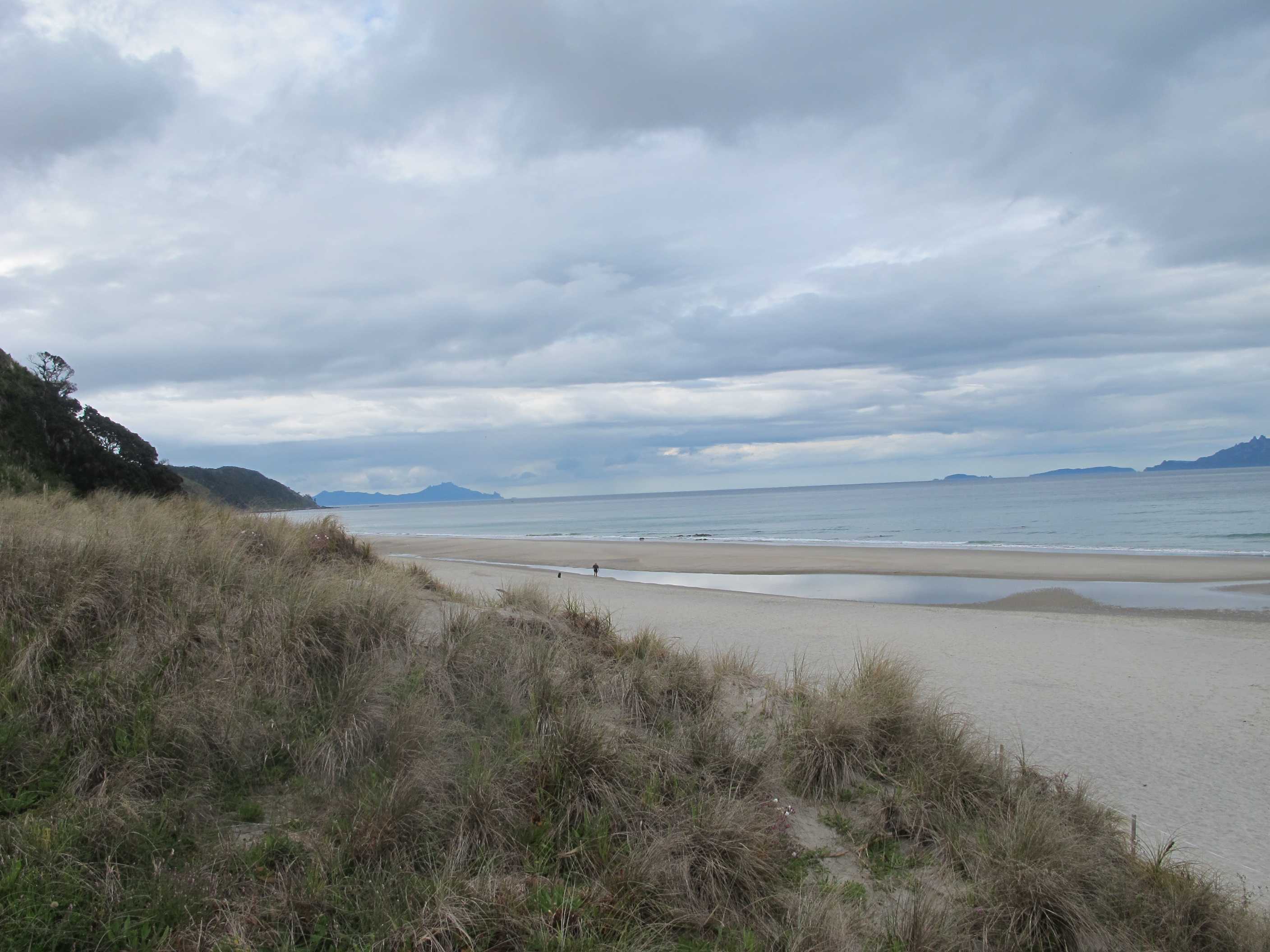
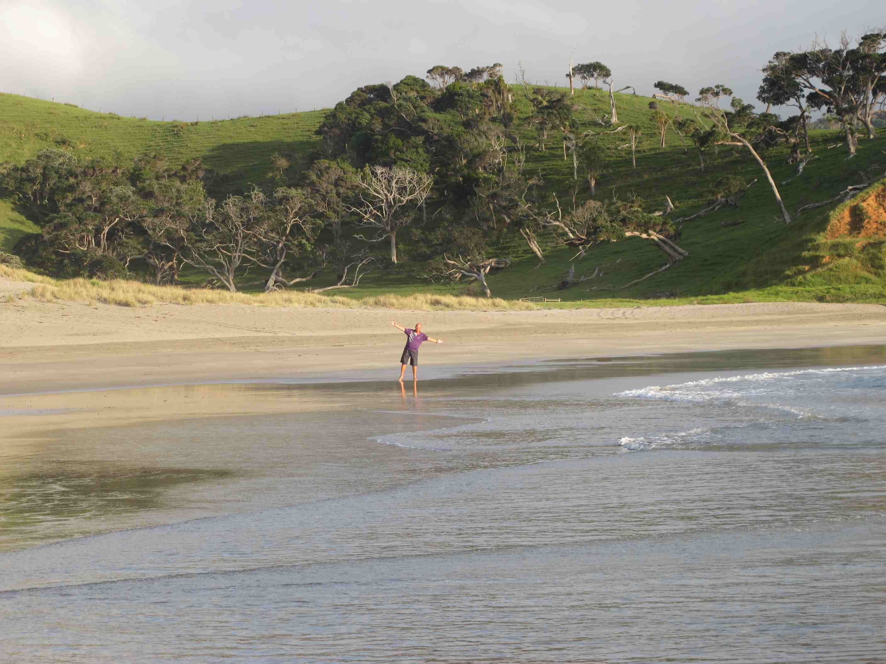
Wow! It is all so gorgeous, big, open hilly and huge white sand beaches! Paddled, it was gorgeous. We will add some pics when we get a chance. Woke up a while ago to see the sun rise over the sea. We are parked just 10 meters from the beach - AWESOME!!
Francisco from Wilderness picked us up from the hotel at 8:30am and drove us to the Wilderness depot. After filling in some paperwork he introduced us to our motorhome and left us to watch a video showing all the features. The motorhome is very good, if somewhat compact. We may both come back looking like the Elelphant Man, having bashed our head on the coving above the windscreen where we keep the personal electronic devices and travel books. But we are getting used to "the camping way", squeezing past each other and shouting "coming out" before flinging the toilet door open. Francisco came back to answer some queries we still had. He was very thourough and helpful and we were very impressed with the service Wilderness were providing us.
We then set the satnav for Albany, a northern suburb of Auckland where we were going to go to a Pack and Save supermarket to stock up on essentials - wine and such like. Neil set off driving and after about a quater of a mile we hit a dead end, due to roadworks. He then had the brilliant idea of driving down several roads trying to magically find a way round the roadworks only to end up 5 minutes later back at the roadworks. Sue then had the brilliant (non-male) idea of popping into the convenience store we were stopped outside of and asking for directions. Neil was following these to a letter and he was about to turn onto the motorway when Sue said "Not Here!", which made him miss the turning. He then backed around a corner to turn round and stopped half a metre from a police car, so he gave the police officers a friendly wave and slowly drove off.
The motorway traffic was pretty bad, even more so as it was raining. however we started to feel less stressed as the miles (sorry kilometres) sped by. We found the supermarket and Sue got the provisions while Neil parked the motorhome and fed the next couple of destinations into the satnav. When Sue came out she looked for the vehicle, but couldn't remember what it looked like. She actually saw it and peered through the driver's window, but since Neil was in the back and she didn't see him she assumed this was someone else's motorhome and proceeded to walk around the car park in the drizzle for a quarter of an hour before she realised that there was only one motorhome in the carpark and came and knocked on the door!
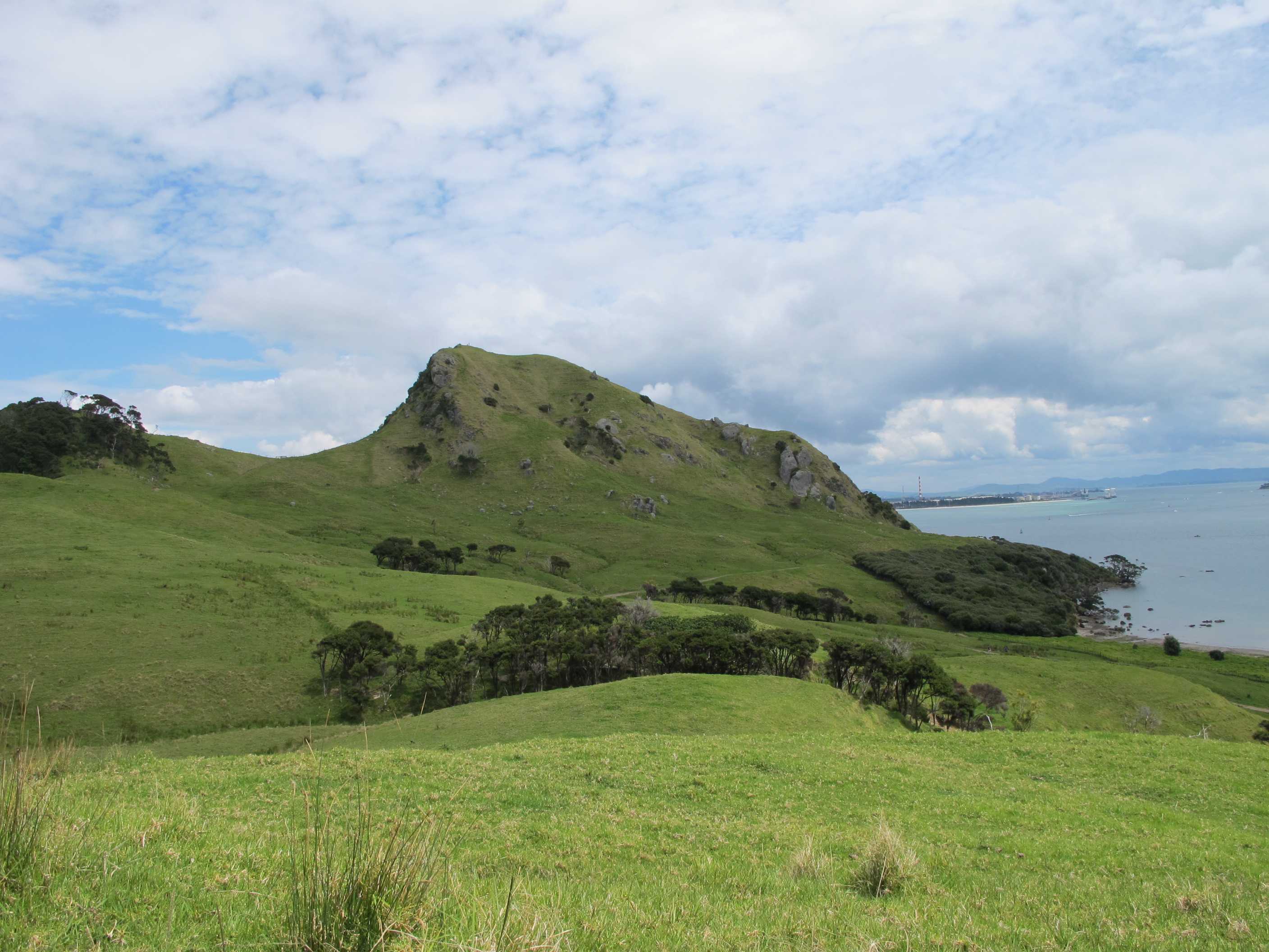
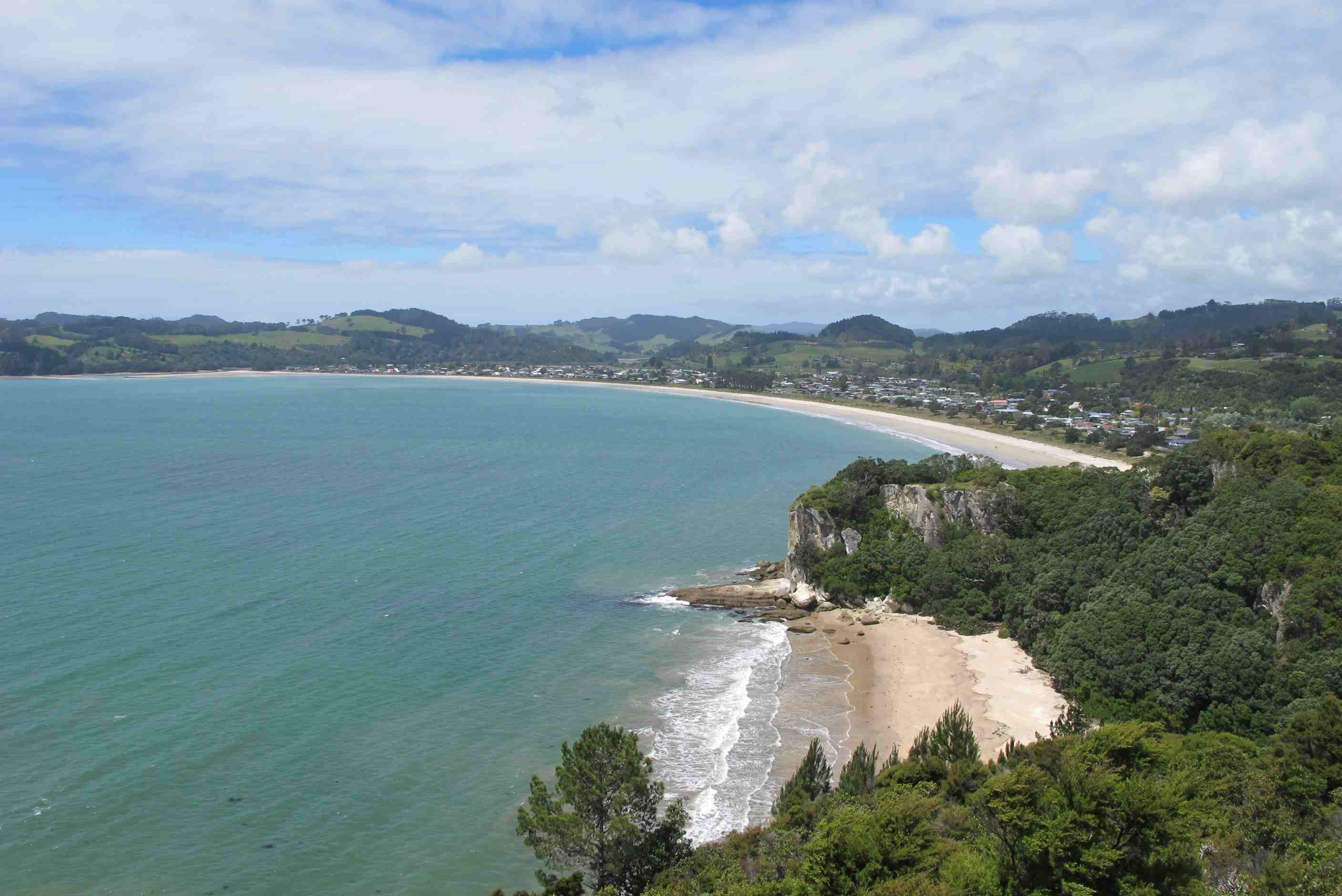
We then set off for Leigh, passing some beautiful, if wet, scenery on the way. We went on to Mangawhai Heads, which was absolutely stunning. A fantastic white sand beach with hardly anyone on it. Sue paddled in the sea while Neil walked dryly along the beach. There are some sand dunes there that they are in the process of restoring. We then went on to Langs Beach (again stunning) and Waipu Cove, where they teach surfing, before heading for Ruakaka, whose main claim to fame is that it has an oil refinery that allows visitor tours and it has a superb beach. We got some more provisions (a bottle of gin) in the town and freedom parked next to the oil refinery. This sounds aweful, but the gubbins are screened by trees and just outside the motorhome was a set of steps leading down to a fantastic beach and across the bay is the wonderful Whangarei Heads, where we plan to some exploring tomorrow.
All in all we did an awful lot today. It was tiring but very rewarding and if the scenery we have seen is a foretaste for what is to come we will be over the moon for the whole of the holiday!
night |
kms |
Overnight Stay at |
Cost/night |
Facilities |
Wow Factor |
Photos |
|---|---|---|---|---|---|---|
| 6 | 237 | Elliot Bay - On the beach (Freedom Camping) | $40 | 5 |

We set the clock for just before sunrise. Although it was a bit overcast we still got a glimpse of the sun. We then had breakfast (Just Right mmmm) then one last look over the bay towards where we would be heading next Bream Head. The driving there was a delight with some fantastic scenery.
Our satnav got confused once or twice, basically missing a turning so we had to turn back. We made for Smuggler's Cove, which is a beautiful beach. We met a nice lady from Norway who was doing a 6-month hiking tour of both islands with her daughter! We decided to take the counter-clockwise walking route to it from the car park. All in all this took us 2 hours and took us past WW2 gun emplacements, curious bullocks and a steepish climb to the top of Busby Head, where you get a 360° panoramic view. We were both pleased we made the effort to do this. We dipped our toes in the blue pacific before setting off again, this time to Ocean Beach.
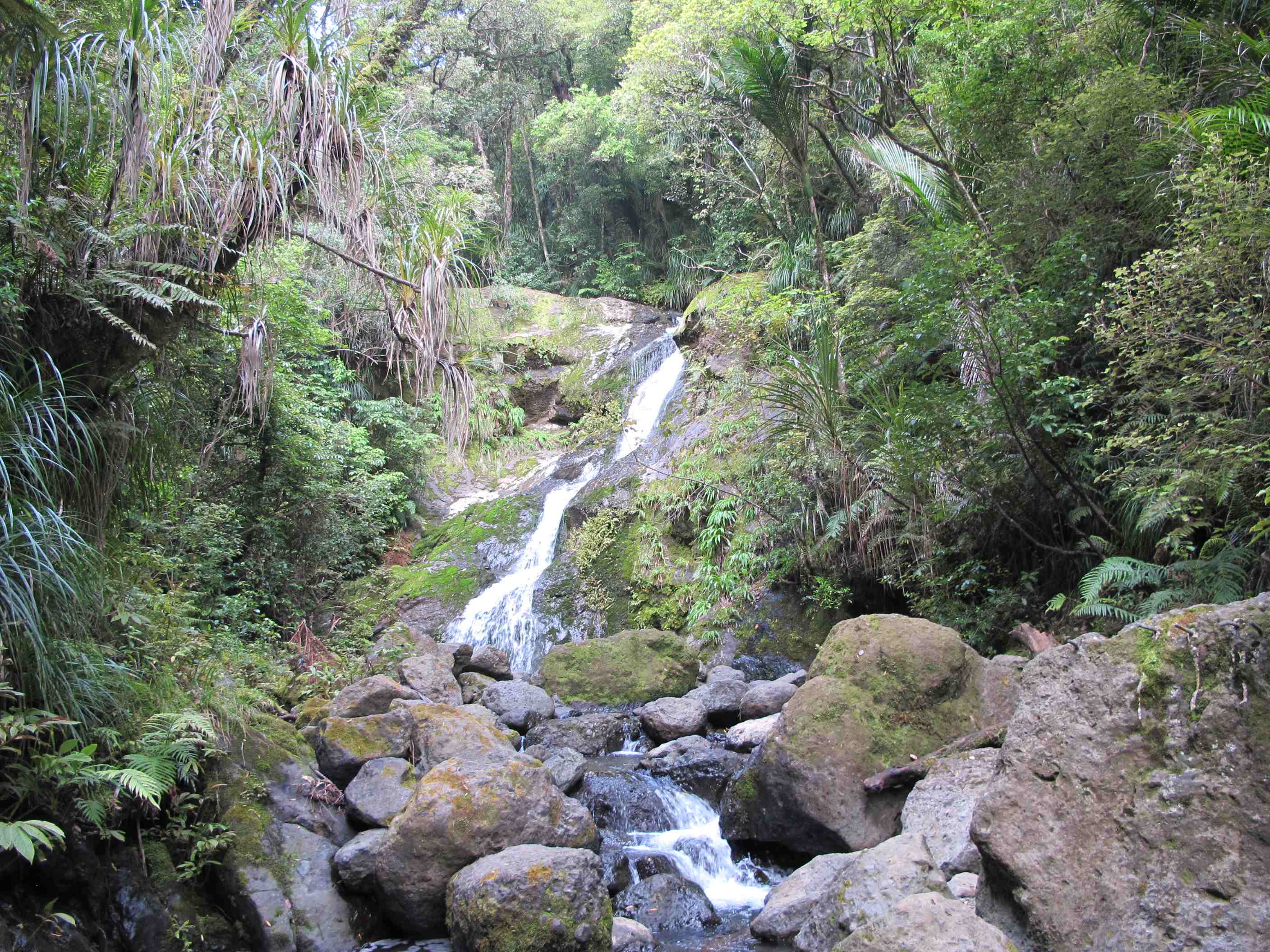
If you think Smugglers Cove is fantastic, wait till you see Ocean Beach, at the end of a farm track, it is stupendous, with a small river flowing into the sea. Some very nice surfer dudes assisted Neil is turning around when we left to go to Whangerei Falls.
We thought the satnav was on the blink when it led us to a housing estate, but there in the middle was Whangerei (pronounced Fahnga-ray) Falls. It wasn't in full speight, but there was still a considerable flow. We did a 15-minute loop, stopping to take pictures, then up along the Tutukaka Coast, which is full of small bays - lovely. Heading for our final stop for the night, Elliot Bay just a little way past Helena Bay. We arrived at the campsite and paid $20 each (a bit steep for basically freedom camping) but the view alone was worth it. Topou, the lady in charge, ran ahead to open the gates then we parked facing the beach , looked at each other with a beaming smile and said "This is what we came here to do". It was heaven.
night |
kms |
Overnight Stay at |
Cost/night |
Facilities |
Wow Factor |
Photos |
|---|---|---|---|---|---|---|
| 7 | 225 | TOP10 Ahipara Holiday Park | $35 | 3 | 2 |
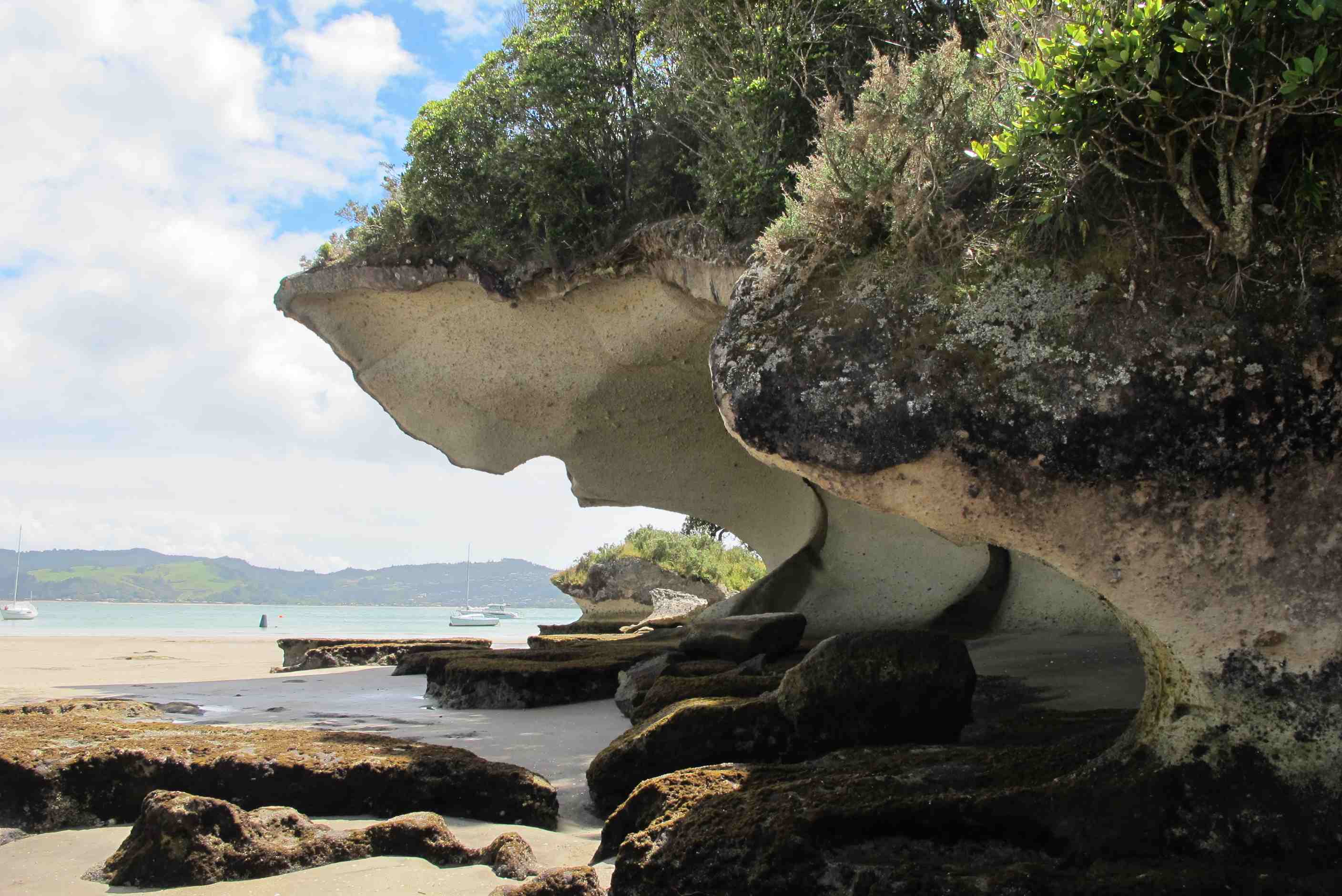
Wow, the beach at Elliot Bay is Fantastic with stunning views, what a way to wake up! We went for a walk on it after breakfast. The birds were facinating to watch, the sea is so clear and the sand so deep in places that you sink into it, sometimes halfway up your shins! There were rocks with holes through and a little cave at one end of the beach. At the other end there was what looks like a small cave, but is actually a small tunnel that led through to another little cove! We started out on our day's adventures on a high after that!
When I saw Puheke volcano from a distance, I said that cant be it! we can't climb that, but it was and we did!!! It was worth all the effort and elicited several more wows!, now the most used word in my vocab!! Then on towards our next destination, accompanied with flashes of bright colour through the windscreen, they turned out to be red, blue and yellow parakeets, again, wow!
When we reached Ahipara, we went up to a lookout. The road was steep, gravelly and very narrow, I could not look all the time and let out girly squeals! Again worth it, views way down to the beaches, across to 90-mile beach and over the sand dunes. Then down to a campsite. Not at all the same as a secluded beach but a necessity, washing, showering properly, bliss, emptying poo and dirty water and refilling - one of the downsides of motorhomes!!! Fell into bed after a dinner of boiled eggs and toast! Who said I wasn't a gourmet chef??
We got up at 6am to see the sunrise, then had breakfast and a walk on the beach, it was heavanly. Then back on the road. Unfortunately Neil misread where we were going next and instead of inputting "Rainbow Falls" into the satnav, he input "Puheke Hill", so we missed going to a lovely waterfall with a huge cave behind it. Never mind - we all make mistakes (well Neil does). Our trip took us via the Opua ferry. It was a long trip to Puheke, which is why we noticed our (Neil's) mistake (about 80 kms after we passed the falls). Puheke is a 130 metre high volcano that is right on a beautiful white sand beach. We hiked to the top and the views from there were absolutely spectacular. We weren't sure if the clocks had changed overnight, so we asked a local on the beach if the clocks had gone back. He said "No, you mean forward". "No", Neil said, "they go back in October". "Not in the Southern hemisphere" came the reply. "Damn" Neil said "does that mean we lost an hour?", "No", said the Kiwi, "they went forward several weeks ago".
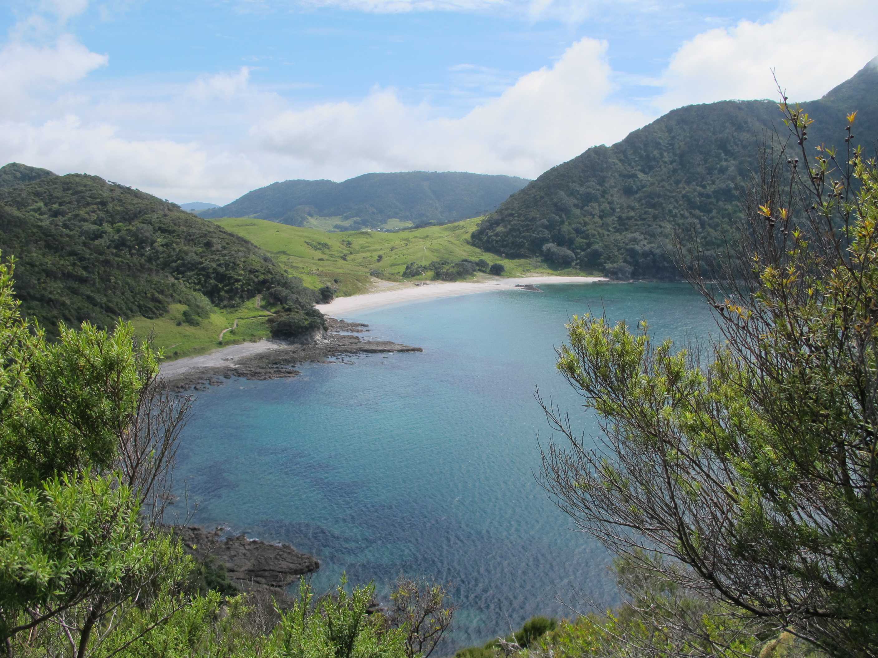
After leaving Puheke Hill we made our way to Shipwreck Bay, Ahipara. There were stunning view, but even more stunning views were to be had by driving up steep gravel track then walking a white sand path to the lookout above Ahipara, were guys used to launch themselves into the air to go hang-gliding. We were joined at the top by a Maori family who seemed to be there for a spiritual purpose, so we quietly left them to it. We then made our way to the Ahipara Holiday Park, which had - wait for it - HOT SHOWERS. We made full use of these and Sue took the opportunity to do some laundry, having first assisted Neil (from a safe distance) in emptying the poo cassete at the dumpstation. Neil emptied the grey-water tank all by himself! We had a late dinner of boiled eggs with tiger-bread soldiers then off to a late bed!
night |
kms |
Overnight Stay at |
Cost/night |
Facilities |
Wow Factor |
Photos |
|---|---|---|---|---|---|---|
| 8 | 185 | TOP10 Kauri Coast Resort | $45 | 3 | 2 |
Early start again and a long difficult drive to a Kauri forest and old tree stump. it was interesting to see such a huge diameter stump and the most peaceful walk imaginable but did not quite make all the effort and time worth it!! We then had a long drive through stunning scenery, nothing for miles but green hills and lots of cows, so many babies, sheep, horses and pigs, so vast!
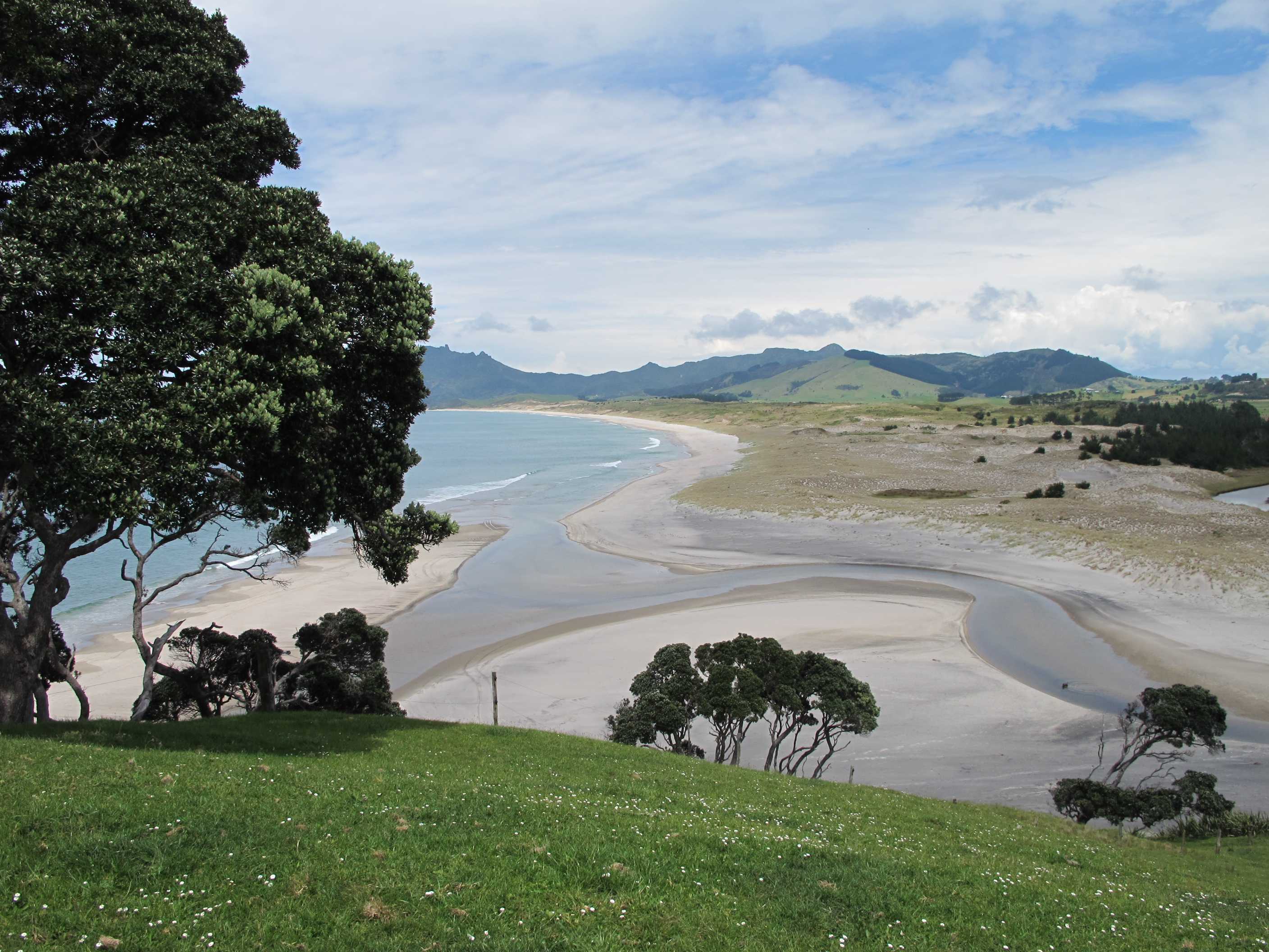
We then had to wait for the ferry, so used the time to have a cup of tea and a snacky lunch. then on to Hokianga harbour. O my god! the first view of the dunes and sea, stunning. The walk and view points, wow!! Then we followed a special route known to the guy who wrote the book NZFrenzy (he spent 2 years roaming New Zealand finding all the off the beaten track places, I offered to do this for an updated version, and they said they would let me know!) having read it, we were determined to find it. We went down to the beach and saw the mermaid pools, would have gone in if the tide was not coming in at a rate of knots! the walk round the headland was only accessible at low tide, so we had a bit of a race to avoid being stranded and calling the coastguard for rescue! well worth it again, a real sense of achievement!
Then on to a gorgeous waterfall, again a trek, but so good! then on to see the oldest, biggest Kauri tree in NZ. a-ma-zing, as Craig says in Strictly. then tried to find food, but nothing, so another night of gourmet food, carefully cooked and prepared by me - pizza and remains of salad. Need some shopping as we only have cereals and a tin of beans left and I think that is beyond even my talents!!
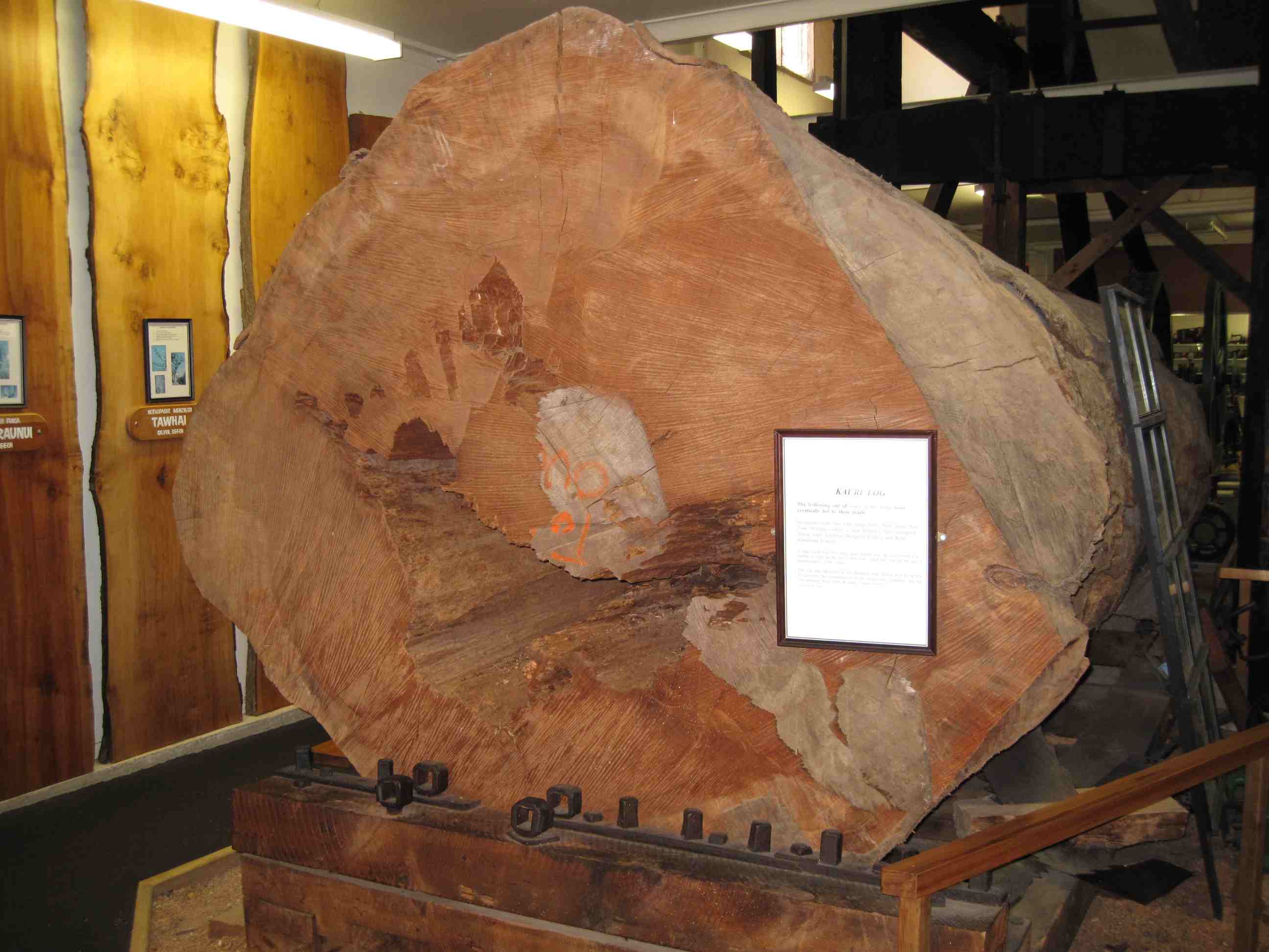
We again got up at 6am, did various chores, such as filling the motorhome's water tank, Then we went to see the largest Kauri tree stump, which at 7 metres in diameter is pretty impressive, even if it's current state makes it difficult to visualise. We had to drive for 10 km or so up a single track gravel path to get to it. The track eventually became impassable, but thankfully only a hundred metres or so before the location of the stump. Had we known about the conditions of the road and the stump itself beforehand we would probably not have bothered to go.
Leaving this remnant of a giant behind we made our way to Hokianga Harbour via the Rangiora to Rawene ferry. On the way to the ferry we overtook a lorry carrying a heavy load and Neil commented that this was the first vehicle we had overtaken since driving on the motorway around Auckland some days ago! The roads are so quiet, even compared to Cyprus. We stopped off at an ATM where Neil withdrew some cash while Sue took some photos of huge sand dunes across the bay. We then drove a little way on to Omopere and the Arai-Te-Uru Recreation Reserve. First we walked along the path at the top to get a better view of the dunes across the bay. Then we made our way down to the beach on the South side of the headland. This contained some huge flat rocks, on most of which were nestled "mermaid pools" of seawater that filled up at high tide and remained there till the next high tide. These were gorgeous and had the water been a bit warmer we may ahev been tempted to use them as a hot tub. We then walked along the shoreline, skirting the incoming tide to go around the headland to Martin's Beach. A fantastic beach deserted except for a couple who we spoke to. They came from London and she was spelling out in sea-shells "Happy Birthday" to her sister whose birthday it was in a couple of days. She was going to photograph the scene and e-mail it ot her.
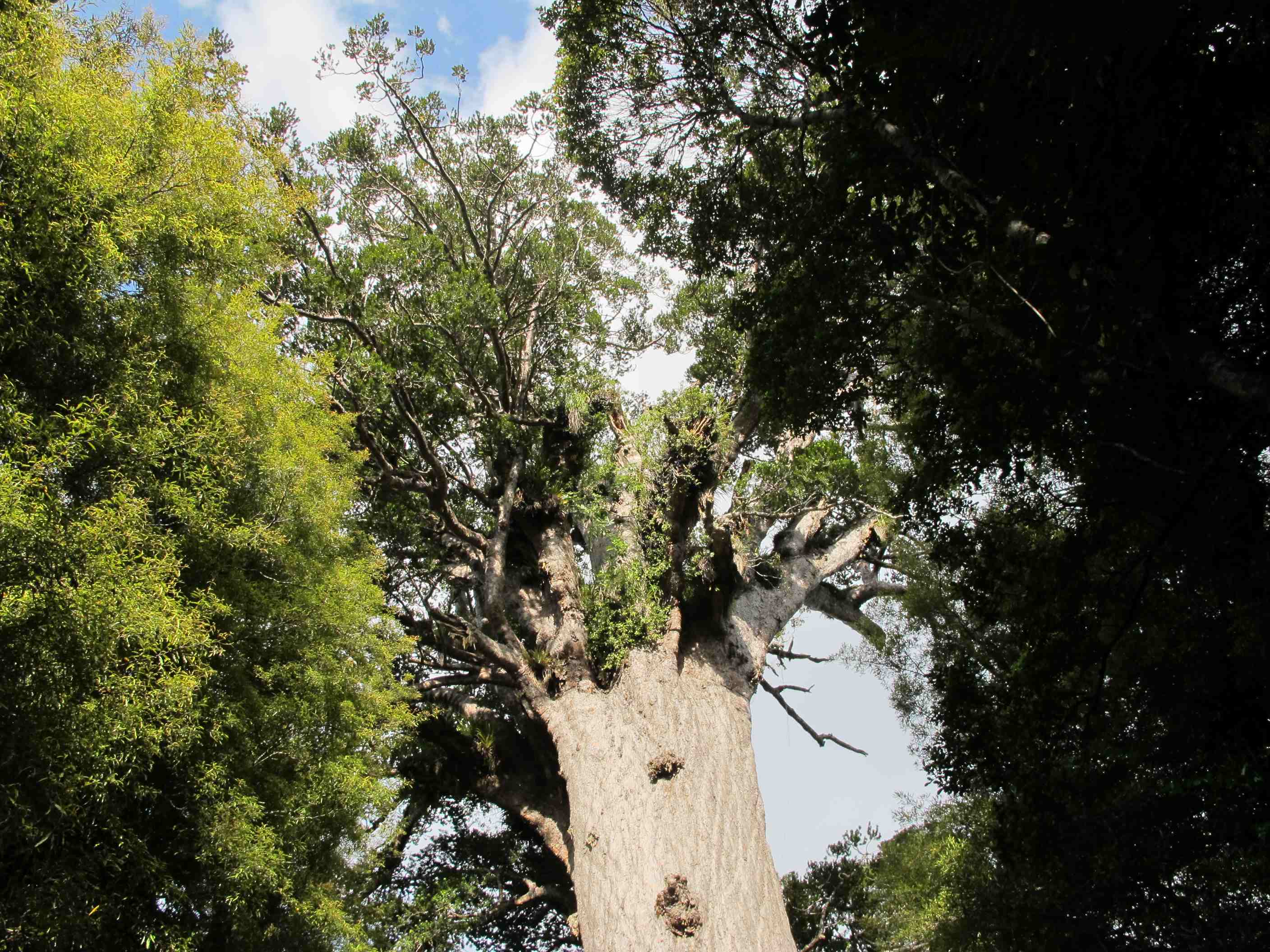
Then it was on to a short walk along a stream, climbing all the while until we got to Waiotemarama waterfall, again at the end of a longish gravel path. As you walk along you hear the sound of rushing water as it tumbles over small rapids. Then you turn a corner and there is the waterfall. It isn't very big, maybe 10 - 15 metres, but it is very pretty. Then it was on to Tane Mahuta (Translation: The Lord of the Forest), the largest living Kauri tree, somewhere beween 1000 and 2,500 year old. It is huge, with a girth of 45 feet! After this we sped down the highway to get to the Kauri Coast Top10 Holiday Park, where we were spending the night - hot showers again. Sue had wanted a lovely juicy steak for dinner, but we had to make do with pizza. Maybe steak tomorrow, I'm drooling just thinking about it.
night |
kms |
Overnight Stay at |
Cost/night |
Facilities |
Wow Factor |
Photos |
|---|---|---|---|---|---|---|
| 9 | 240 | TOP10 Muriwai Beach | $40 | 3 | 3 |
We got going a little later than planned and headed for the Kai-Iwi Lakes. We nearly ran over a mother duck leading half a dozen tiny ducklings, only Neil's swift maneouvering avoided a massacre. We arrived at the lakes and tried to find the "off the beaten path" track to the Tasman Sea. After a couple of "opposing views" we decided we couldn't and set off back down the road and lo and behold there was the track on our right. We parked and set off across the fields where cows and bulls were roaming. There were deep rutted cattle hoofprints to negotiate, boggy ground, many many stiles over electified fences, lots of ups and downs, hillocks, a set of 100 steps, then a path down through a bushy wet trail full of flying insects trying to feed off you. Just your average stroll then. It was supposed to take 25 minutes, but it took us 45! But WOW!!! What a view greeted us: miles upon miles of completely empty sandy beach with sandstone and peat cliffs behind, as well as a waterfall and just the most a-maz-ing vista - well worth it.
Then the trek back after playing on the deserted beach for a while. It was hard work but at least Neil gave me a big laugh. We got to a boggy bit and he said confidently "This way, it's how I came across on the way here". Well his first step saw him ankle deep in muddy water and goo. Then two more. All I heard was "Sh..., Bu..., Sh..." as his boots took on more and more water. I managed without getting the soles of my boots wet! I couldn't stop laughing, I was holding my sides I was laughing so much. We finally reached our van tired (and in Neil's case, wet), but very happy indeed.
Then we had lots of driving through lovely scenery to get to the Kauri Museum, via a supermarket to stock up and an amazing butchers, with a very friendly lady serving where we bought sausages and NZ lamb chops for dinner. We arrived in Muriwai, where we are spending the night. It's an awesome place and we'll tour it properly tomorrow. Neil cooked the lamb and sausages to perfection, which made a fab meal accompanied by Oyster Bay merlot. This, following a magical sunset over the bay - what more could you want?
We spent some time after breakfast updating the blog with Sue's Views and spent too much time trying to get the iPad to connect to the WiFi. The Surface Pro was straightforward but Apple really need to get their act together before they can claim that the iPad is suitable for business/technical users. Eventually we were on the road going to the Kai-Iwi Lakes, just 20 minutes away. The NZFrenzy book we had described a trek through fields of cattle (mostly bulls) to the beach bordering the Tasman Sea. It took us quite a time to find the start of the walk then it was hop (or crawl) over a stile avoiding the electrified fence just a few inches away from some rather sensitive parts of our anatomy and off we went. This was the first stile of at least ten! Eventually we came to a hill and had to climb a hundred steps, of course I'm exagerating there were only 98 (I counted them). After 45 minutes in total we arrived above the beach and scrambled down a path, across a stream and braved a million midges (again I exagerate there were only 999,998), down another flight of steps to arrive at the beach itself. What a palarver, but one I wouldn't hesitate to do again to see this beach. As you step onto the beach just to the right is a small waterfall. The water makes its way to the sea, creating fantastic black and white patterns in the sand as it does so. We were the only ones there - it was magical.
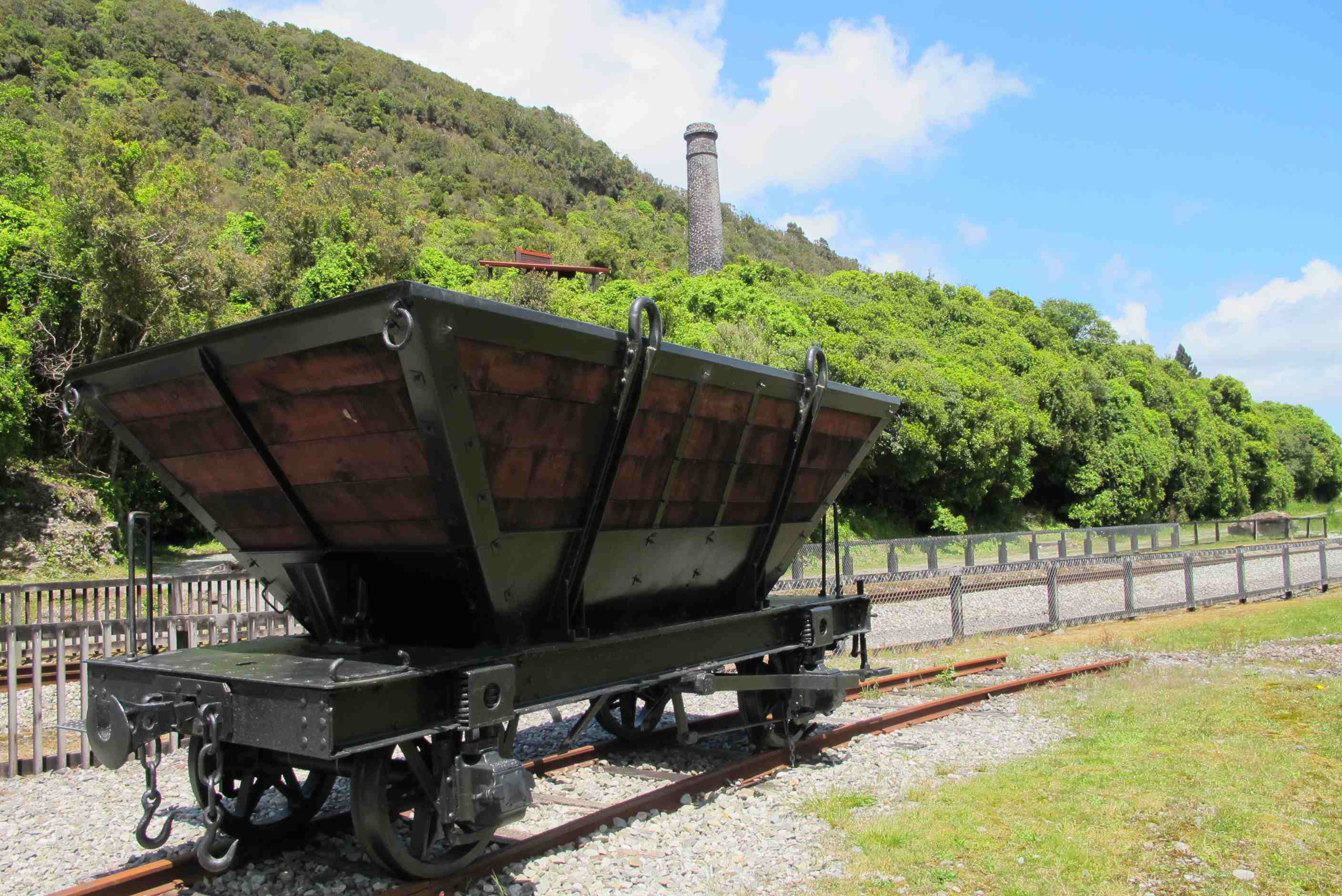
Our next port of call was the Kauri Museum, although we did do the weekly grocery shop before then. Neil went into the museum, while Sue reorganised the storage in the motorhome. He came out enthusing about the machinery used to harvest trees and cut the planks and so on. He took lots of photos of said machinery, as well as kauri products. There is lots of useful information there and the staff are lovely.
Finally we made our way to Muriwai Beach, where we were staying the night. Since Neil had promised Sue that meat would be on the dinner menu he got her to buy sausages and lamb cutlets for him to BBQ in the evening. They were absolutely delicious and went well with the garlic and butter pasta Sue cooked, the gin and tonic and the red wine. Before cooking Neil took some lovely photos of the sunset over the beach with loads of surfers riding the waves in the lowering sun - almost poetic. It was a long trek today, so we decided to leave exploring Muriwai until the morning. But we still didn't get to bed this side of 11pm!
night |
kms |
Overnight Stay at |
Cost/night |
Facilities |
Wow Factor |
Photos |
|---|---|---|---|---|---|---|
| 10 | 209 | Ray's Rest - On the beach (Freedom Camping) | 0 | 4 |
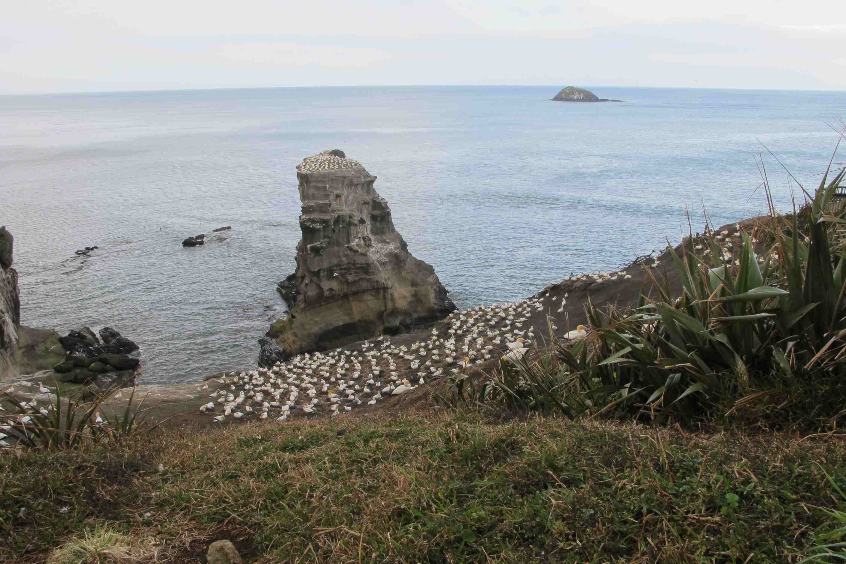
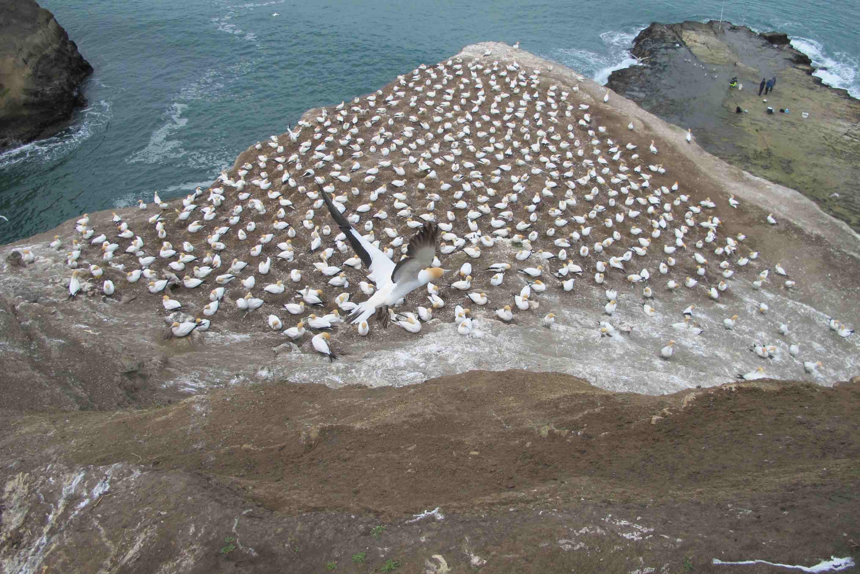
Stayed at a great camp close to the sea. Early start and drove 2 minutes to a car park and walked up to see the gannet colony. Mindblowing, is all I can say, eat your heart out Den! Then watched surfers in big waves and tried to get photos of waves through the blowhole. I was so engrossed in taking pictured I failed to notice a big wave arriving and got soaked! Needless to say Neil had noticed it coming and failed to tell me, getting his own back for yesterday!
Just a little aside, nothing to do with any specific day but wanted to mention. Everyone is so very friendly, chatting away and so interested. Great if you have time but can be hard to get away. Also love most of the houses around. Beachside, lovely mainly one floor clapboard, so in tune with surroundings. Countryside, some beautiful buildings, often moden with lots of glass to encompass the magnificent scenery. Towns not so much to my taste but then again neither are the towns, except little townships, I love them. Went through Auckland again today and could not wait to get out back to the open land. Some quirky things, we saw some Alpacas in a field and then a sign - Alpacas for sale - loved them but did not think they would fit in van. Also, went to the supermarket and went to get a trolley but ended up with a trundler instead!
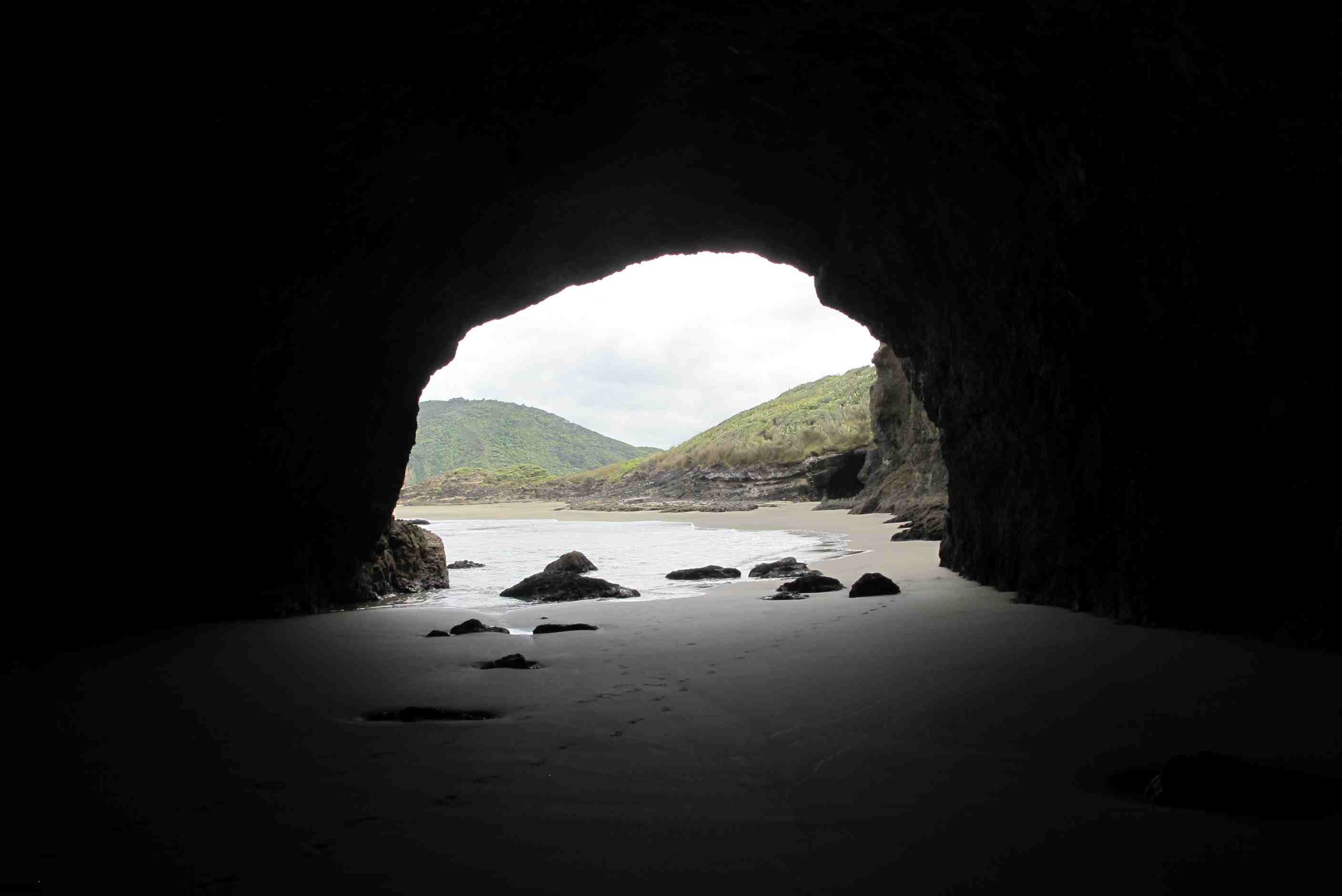
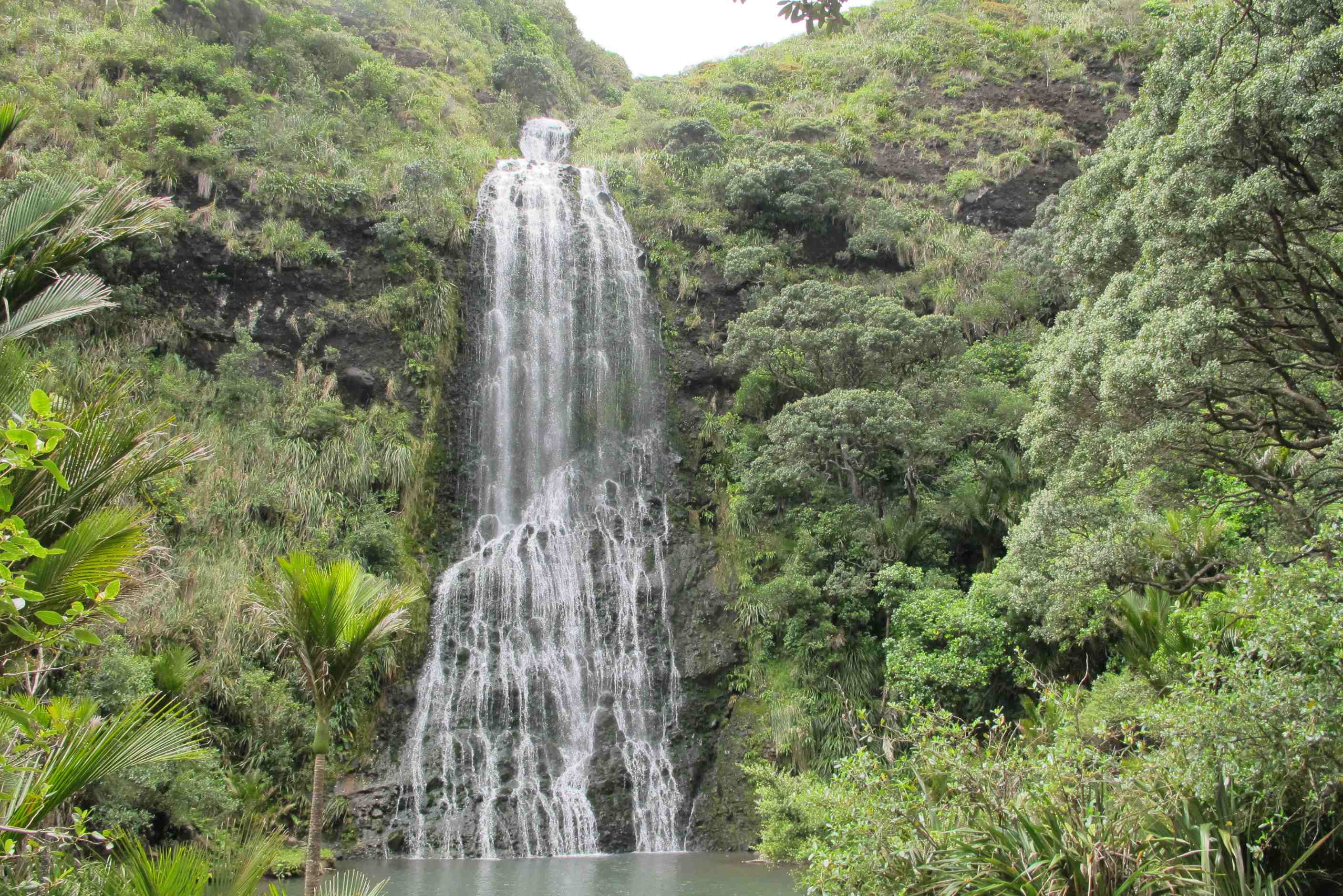
Anyway, more of today, dragged ourselves away from the gannets and sufers and went to another black sand beach. WOW again. Big, empty and stunning. Big waves, High cliffs and caves. Walked a long way and went in caves, really quite big. Then headed to another beach, Piha, different again but stunning. Two big outcrops breaking up sand and surf. There was a climb, looked harder than we felt up to and also short of time, our excuse anyway! Then finally on to an amazing waterfall, really took my breath away!
Then off to Auckland to have a couple of niggles fixed in the van and through to the south of the island. Stopped and had a good meal, our first out of the trip!!!! and reached our stop for the night. We are parked 3 meters from the beach and 5 from the sea at high tide and overlooking the Comorandel peninsula. G & T time, blog, e mails and early bed. ps. forgot to mention, Neil got away with some hazardous driving - While going down a road with roadworks, he managed to knock down several cones in the middle of the road. It was like bowling all over again but with a better strike rate!!
The Holiday park we stayed at was very good. Just a few minutes walk over some dunes to the sea. It was very clean as most of it was new, they were still building various chalets and facilities. We left early and went 5 minutes down the road to the place signed "Gannet Colony". The Gannets were quite a way away at the top of cliffs between here and the Murimai beach car park. Someone we had met on our journey mentioned that you could see them really close, less than a metre away, so we figured there must be another viewing platform. There was, at the top of a set of wooden stairs from the beach car park. We spent ages watching the birds preening, courting, fighting, sitting on eggs, building nests and taking off into the sky. It was fantastic. There were terns also nesting close by. There was also a giant blowhole that could be seen from the platform and water would spurt out of it as the waves pushed into the cave feeding it.
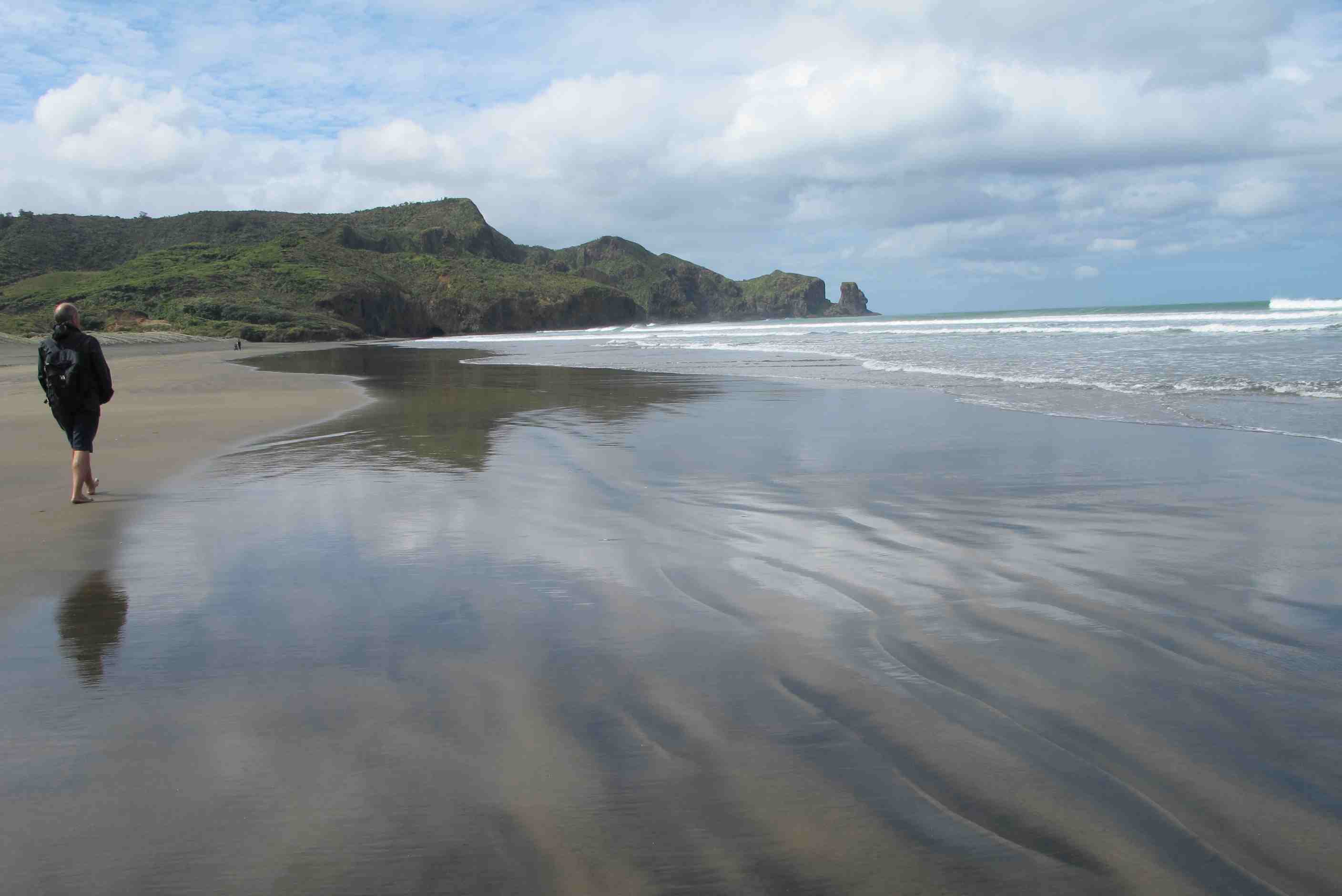
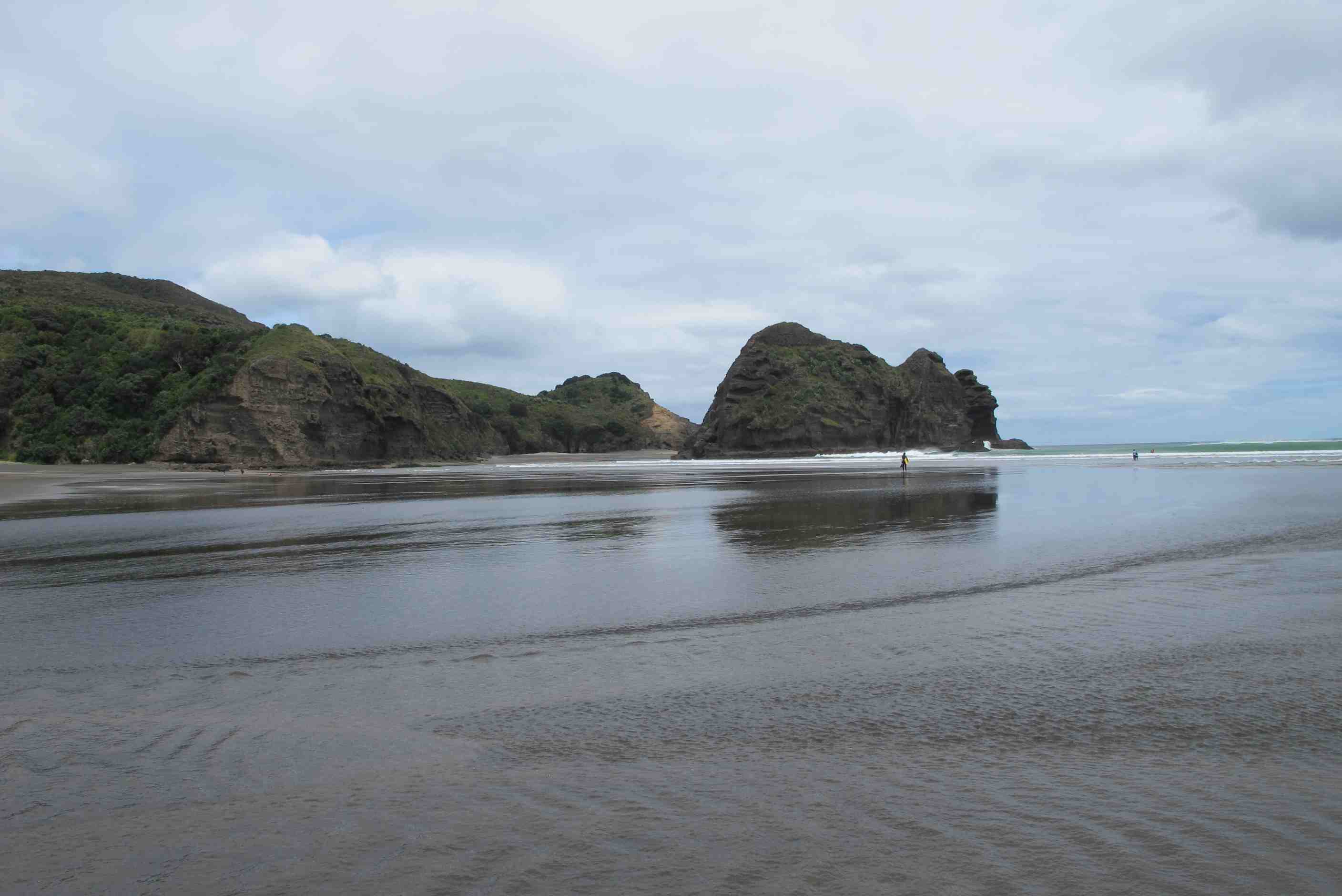
We then went on to Bethell's Beach, which is stunning. There are black sand dunes and behind them is a large lake that feeds a river that runs across the North end of the beach. There are various nooks and crannies in the cliffs and the sand is so fine it effortlessly blows across the beach in a large wind, which we had. People surf, walk their dogs and ride horses on the beach, but when we were there it was more or less deserted apart from a few surfers. There are some interesting rock formations at the South end of the beach including a huge cave.
Leaving Bethell's we went to Piha Beach. This one had more people on it. It was shallow for quite a way out into the sea and there was a huge rock on the beach called Lion Rock. It must be about 100 metres high at least. There are some dilapidated steps that go to the top, but you would have to be a mouintain climber, or utterly fearless of heights to go up them. Though quite a few people made the attempt. There is a lovely footbridge to the beach that is designed to resemble NZ's long-finned eel. It snakes across a stream and has metal eel sculptures set into the floor representing the eel's life cycle, from egg to fully grown eel. It is really very charming.
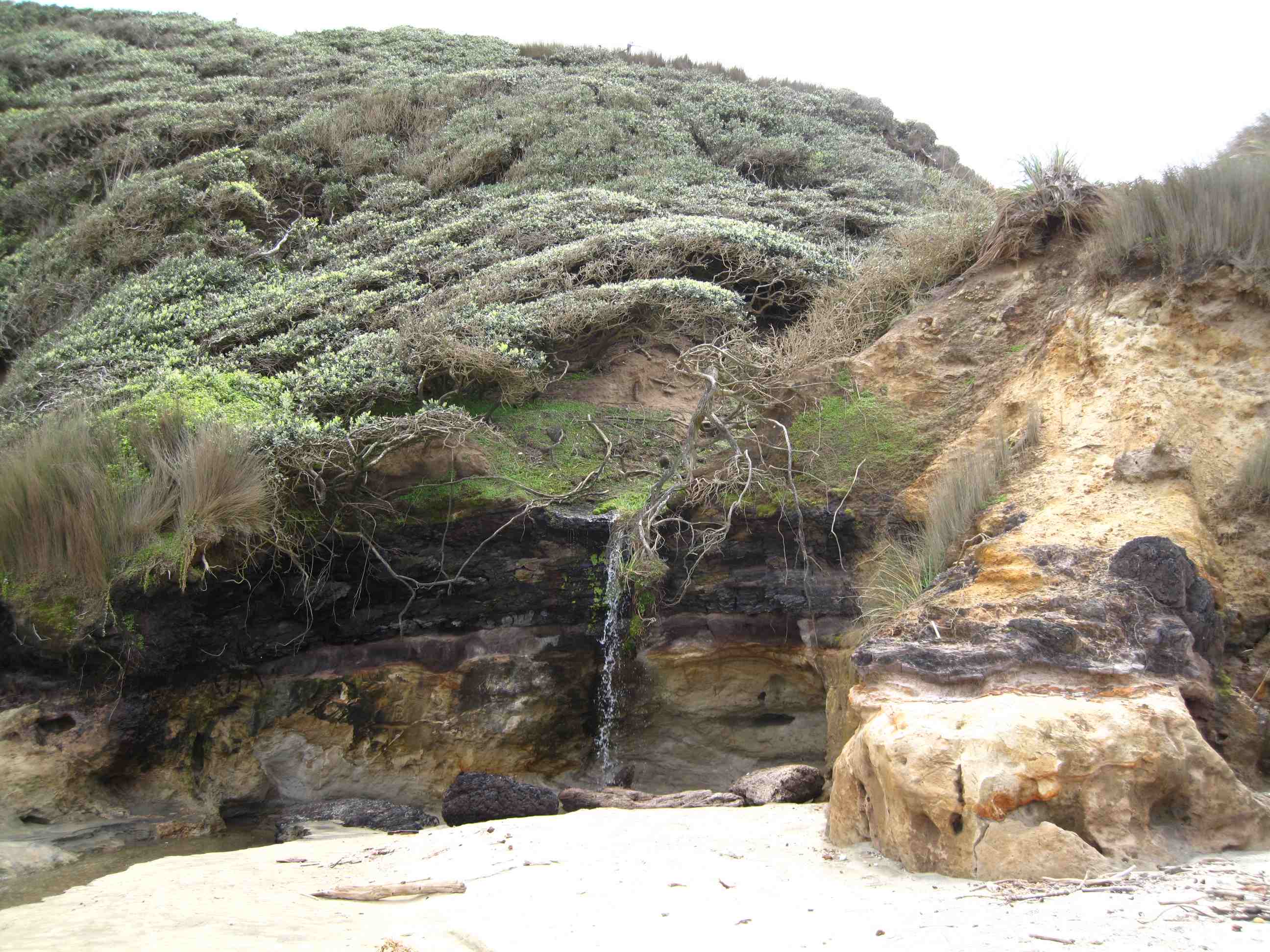
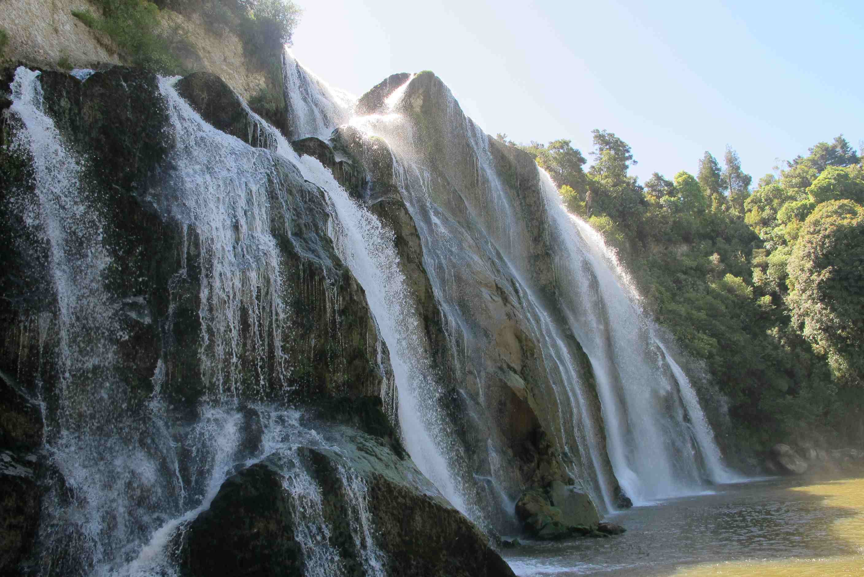
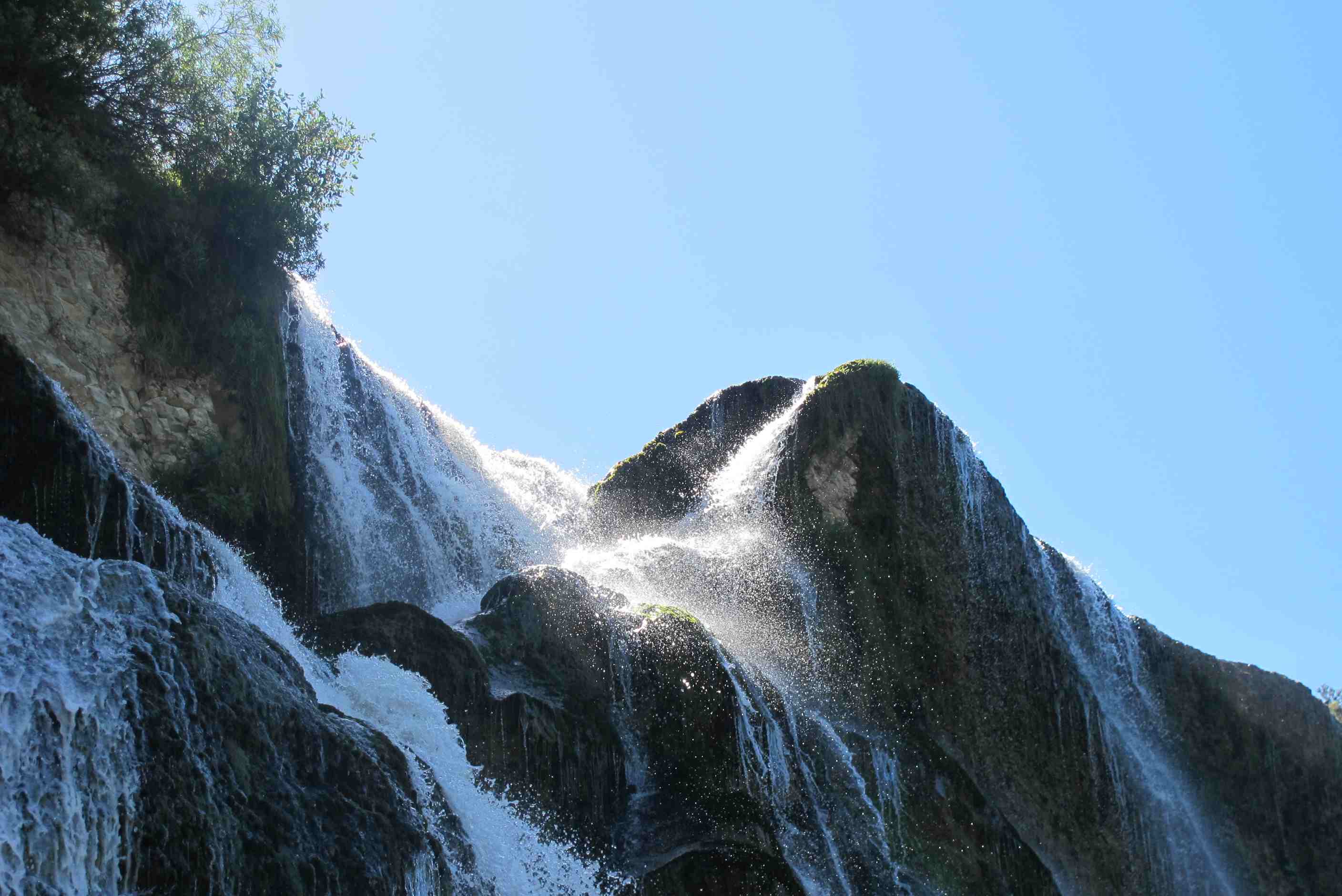
After Piha our last port of call before heading back through Auckland was Karekare Beach. However, we did not go to the beach, but to the waterfall a 5-minute walk away. There are two falls, a small one another that is much larger. This second one is spectacular, as you will be able to see from the photos (once they are avaiable). We were both astounded by this waterfall.
We had had a few minor problems with the motorhome so while we were passing through Auckland we took the opportunity to call in at the Wilderness base to get them fixed. Then it was a race out of Auckland (well actually it was a snail's pace because of the rush-hour traffic) to get to Miranda where we were freedom camping for the night at a spot called Ray's Rest. We decided to stop at a hotel - more pub than hotel, in Kaiaua where we had the first meal we had not cooked ourselves since picking up the motorhome. I had fried-egg and bacon burger, with all the trimmings, while Sue had a very tasyty steak sandwich. Then it was off the Ray's Rest a few miles down the road, where I am writing this part of the blog. Early start again tomorrow to go to the Coromandel Peninsular.
night |
kms |
Overnight Stay at |
Cost/night |
Facilities |
Wow Factor |
Photos |
|---|---|---|---|---|---|---|
| 11 | 261 | Tuapiro Reserve - On the beach (Freedom Camping) | 0 | 1 | 4 |
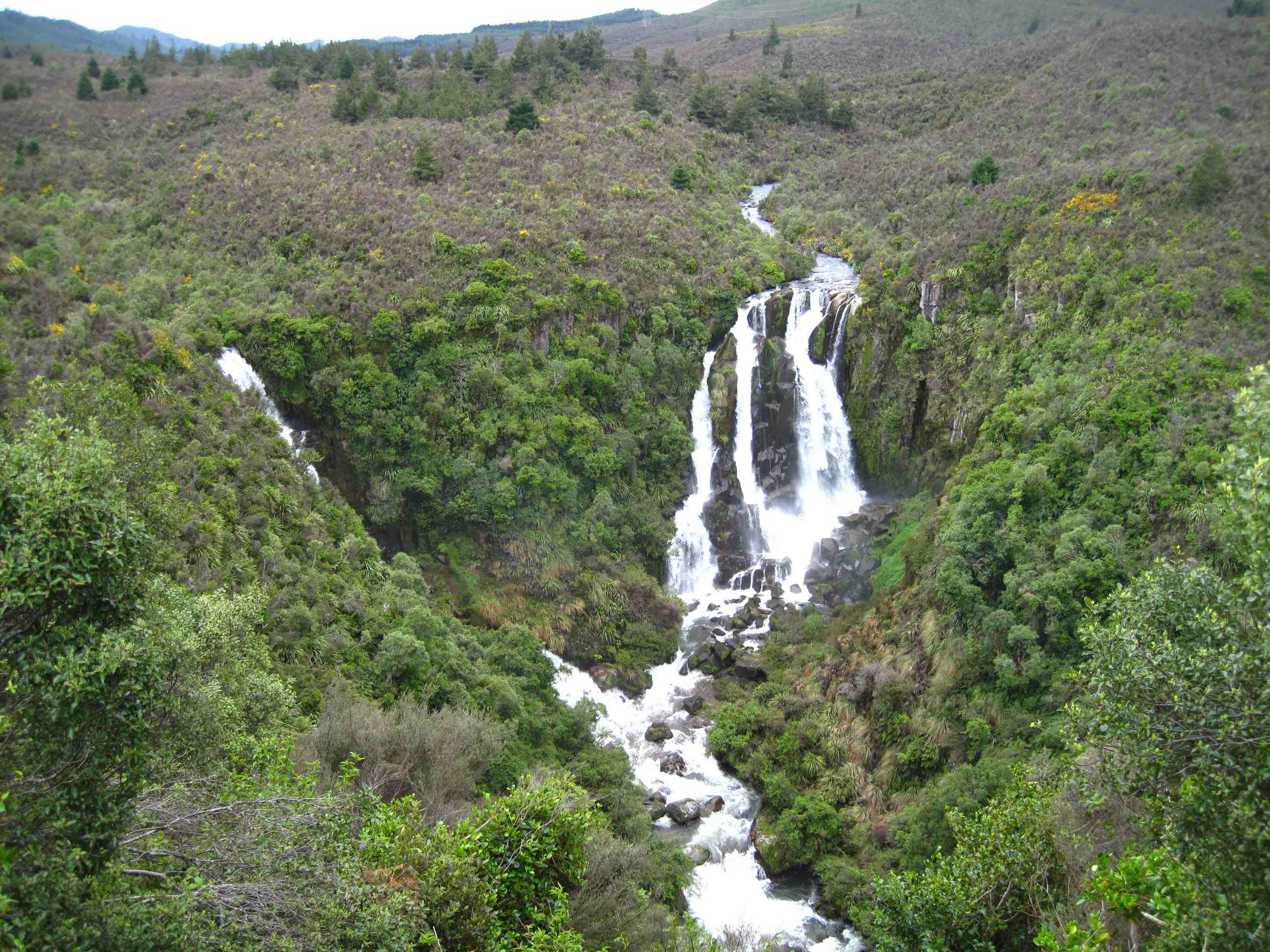
Early start again, we have our morning routine down to a T now, we are becoming seasoned campers! We set off for the Cormorandel peninsula and what an amazing drive! Views spectacular, if a little scary from time to time. They don't go in for crash barriers on roads and when it is very narrow with massive drops, mostly on my side, I get a little nervous! Neil is driving great though, but still makes my stomach turn over! We stopped at a lovely waterfall walk, then at a Kauri one. When Neil suggested this one, I said, ok but a tree is a tree and I would rather have stopped to see some free roaming pigs and their tiny babies! The walk was lovely though and very impressive, so well done Neil.
Arrived at Whitianga and got a short foot ferry over the water. Then we walked along a gorgeous beach to reach a track up Shakespeare head. We had to cross a little stream, I took my shoes off but Neil tried to jump. I had my camera at the ready as I knew he would not make it. Got a good video of the splash! We then climbed to the top, no mean feat, went to the lookout. WOW again. Then a long walk back to the ferry. Made a mistake and thought we could get round the rocks and beat the tide. We then had a scary few minutes walking knee deep in incoming waves and scrambling over rocks. We only just made it!
Then after a quick seafood salad lunch, on to Hot Water Springs Beach. Sadly tide was in, so no digging a hole to sit and bask in. We did paddle and it was amazing to bury your feet ankle deep and then have to jump out quickly as it was so hot!! Then decided to drive a bit further to our night stop. We are only ones here, a few feet from the sea,
it is incredible! Sat here with lovely glass wine, looking at photos and writing this, reminiscing on yet another amazing day.
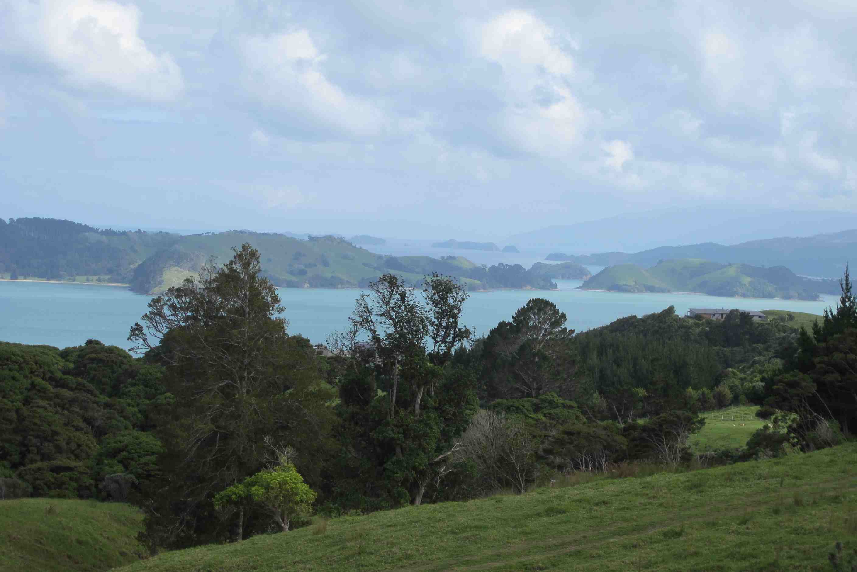
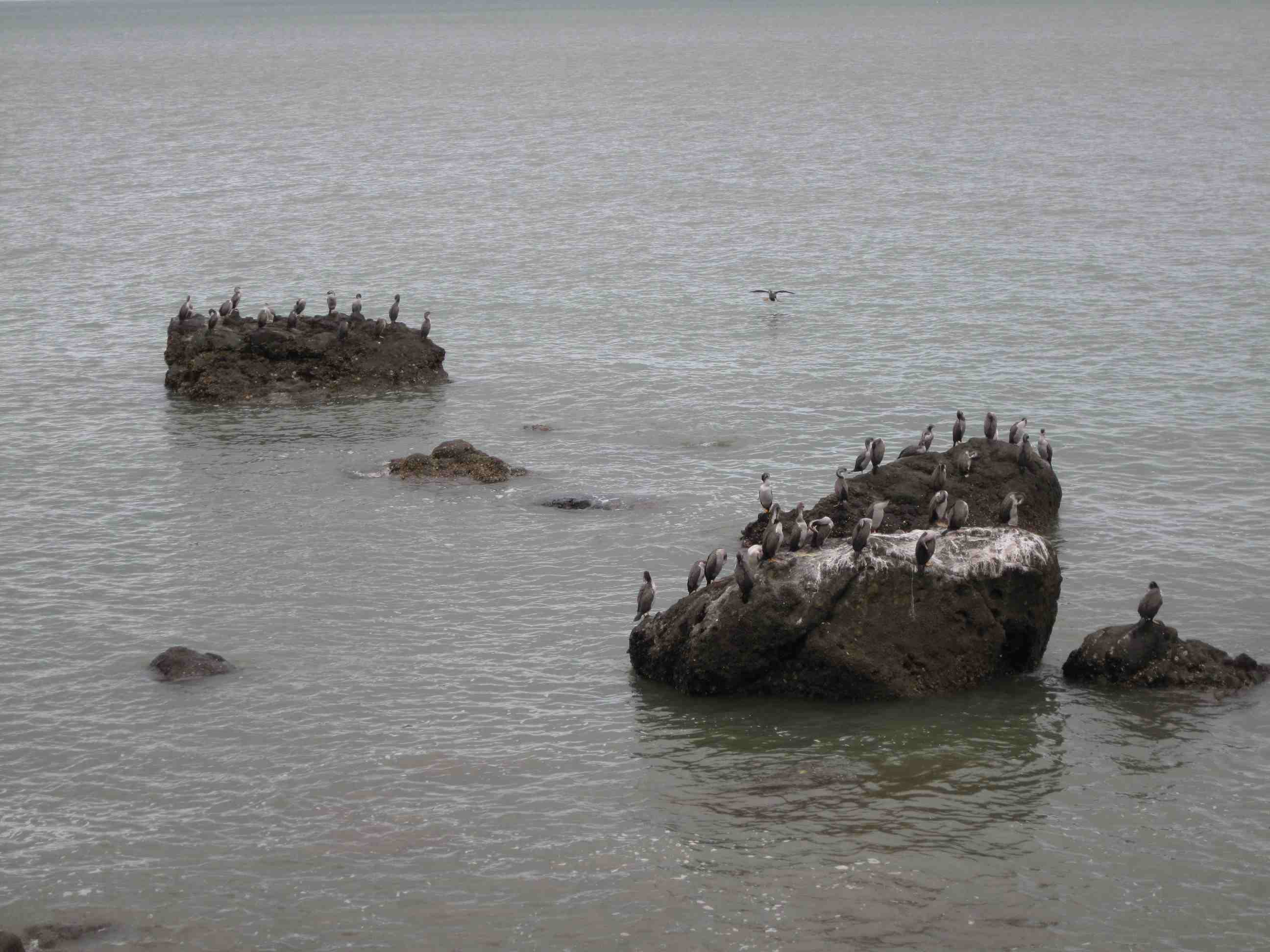
We got up early (again) and left Ray's Rest to make our way down to the Coromandel Peninsular. We had debated whether to "do" the peninsular or travel down to Rotorua, since rain is expected for most of the weekend. In the end Neil took the executive decision to go to the peninsular. It was the right decision, we went through Thames, then up the road that runs along the East side of the Firth of Thames. This is a fantastic road with unobstructed views of the sea all the way up it and plenty of laybys to pull over. There are some lovely little communities with very interesting houses most of the way on the right-hand side. We stopped at a layby next to a small colony of shags. Each one vieing to have its picture taken.
We took the turning onto road 309 to Whitianga. This is a winding road, gravel for the most part that climbs up into the mountains then back down again. part way along it we pulled over to see the Waiau waterfall, then just a little way further on we stopped again to see some more Kauri trees. Neil managed to hug one, though its girth was about 15m, so he couldn't get his arms all the way round it. There is an unuasual sight here, called the Siamese Kauri. Two separate trees sprouted close to each other, probably 1000 years ago, and ran out of space when they expanded sideways, so they have eventually grown together at the base for about 3 metres.
We then drove on to Whitianga and took the passenger ferry across the small estuary to Flaxmill Beach. The ferry was piloted by a chatty guy but the skipper was actually his dog. He told me the dog indicated to turn to port by a single bark and two barks meant turn to starboard, but I think he was telling me a shaggy dog story. On the other side we climbed Shakespear Point where there is a magnificent vista over Mercury Bay (so called after the fact that the time for Mercury to transit the Sun was accurately measured on Captain Cook's voyage in 1796). Prior to then it was known to the Maoris as Te Whanganui-o-Hei - The Great Bay of Hei. We then went back the way we had come, along the beach, but the tide was coming in and it was a bit hairy in places as we waded shin-deep along a 50m streatch of shoreline. Finally we had a nice meal (calamari salad and shrimp and avocado salad) at one of the restaurants in Whitianga opposite the ferry.
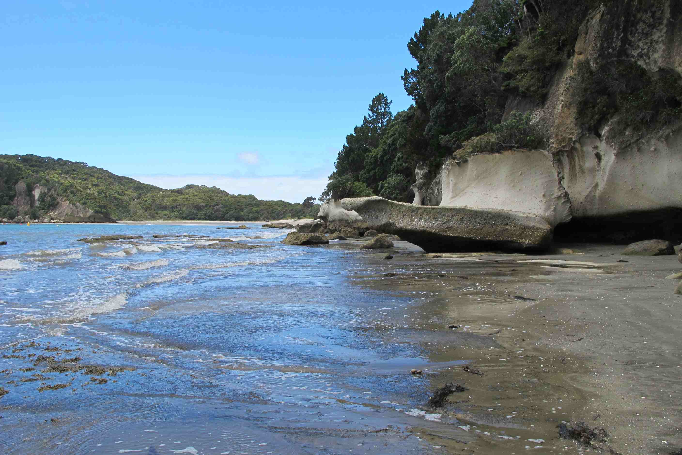
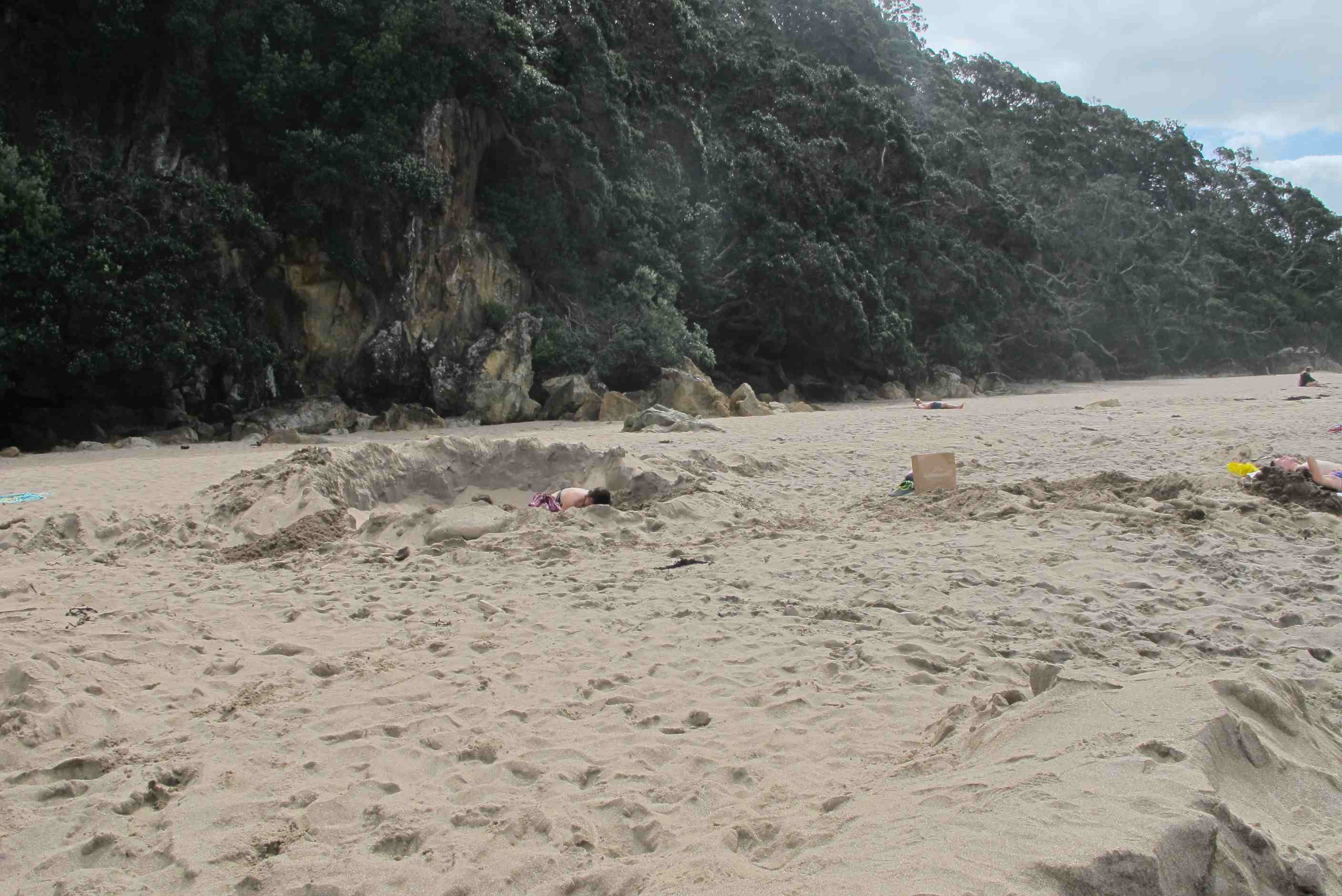
We decided then that we would miss out Cathedral Cove, but go on to Hot Water Beach. This was fun, watching people shoveling sand for all they were worth digging holes on the beach with spades purchased for $15. Neil was chatting to a young couple who had dug a reasonable sizes hole (or rather she had while he gave her helpful instructions), when a large wave came and washed away most of what had taken them half an hour to accomplish as well as soaking their clothes that they had put on the sand behind the hole for safety. They were quite philosophical about it and showed Sue how to dig her feet in the sand to about half-shin depth to experience water that was not far off boiling! After this we decided to "hot-foot" it down to our next camping site, which was almost 2 hours away on roads that wound their way up the mountains then down the other side. This campsite is brilliant. It is freedom-camping, so no facilities (other than a WC) and it has 35 spaces for motorhomes, but we are the only ones here - perfect! Up early tomorrow on our way to Rotorua.
night |
kms |
Overnight Stay at |
Cost/night |
Facilities |
Wow Factor |
Photos |
|---|---|---|---|---|---|---|
| 12 | 194 | Top10 Rotorua in town | $45 | 4 | 3 |
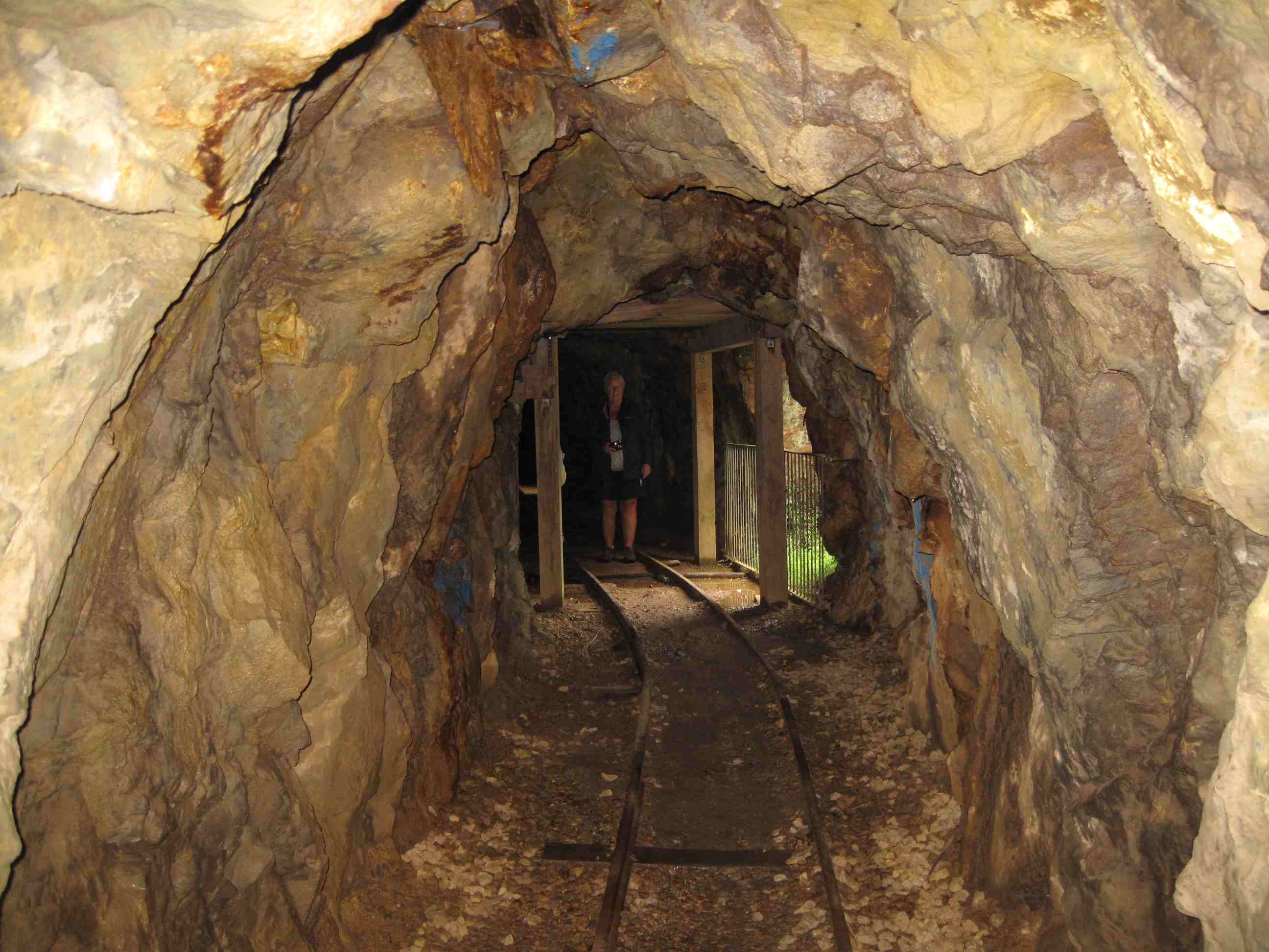
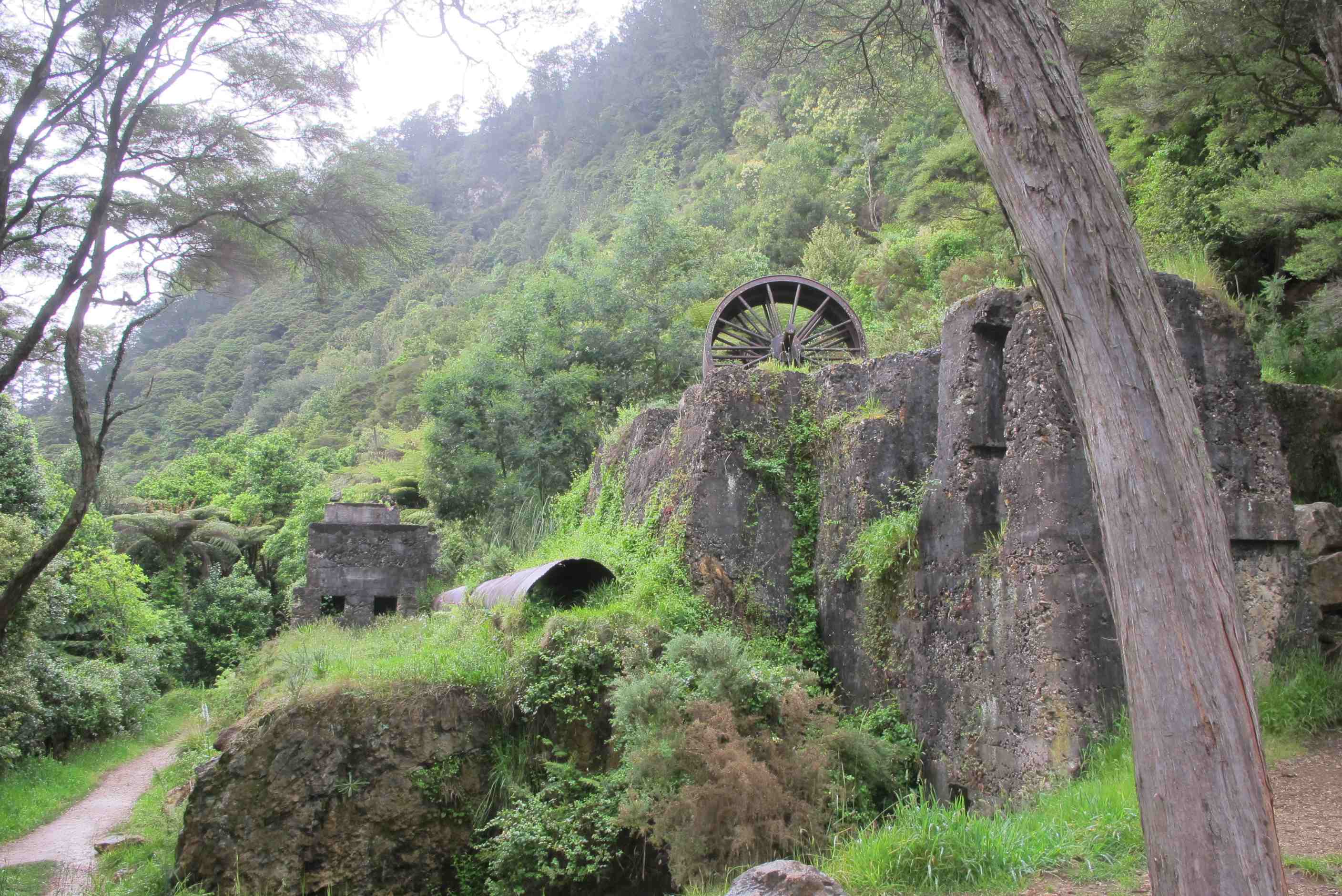
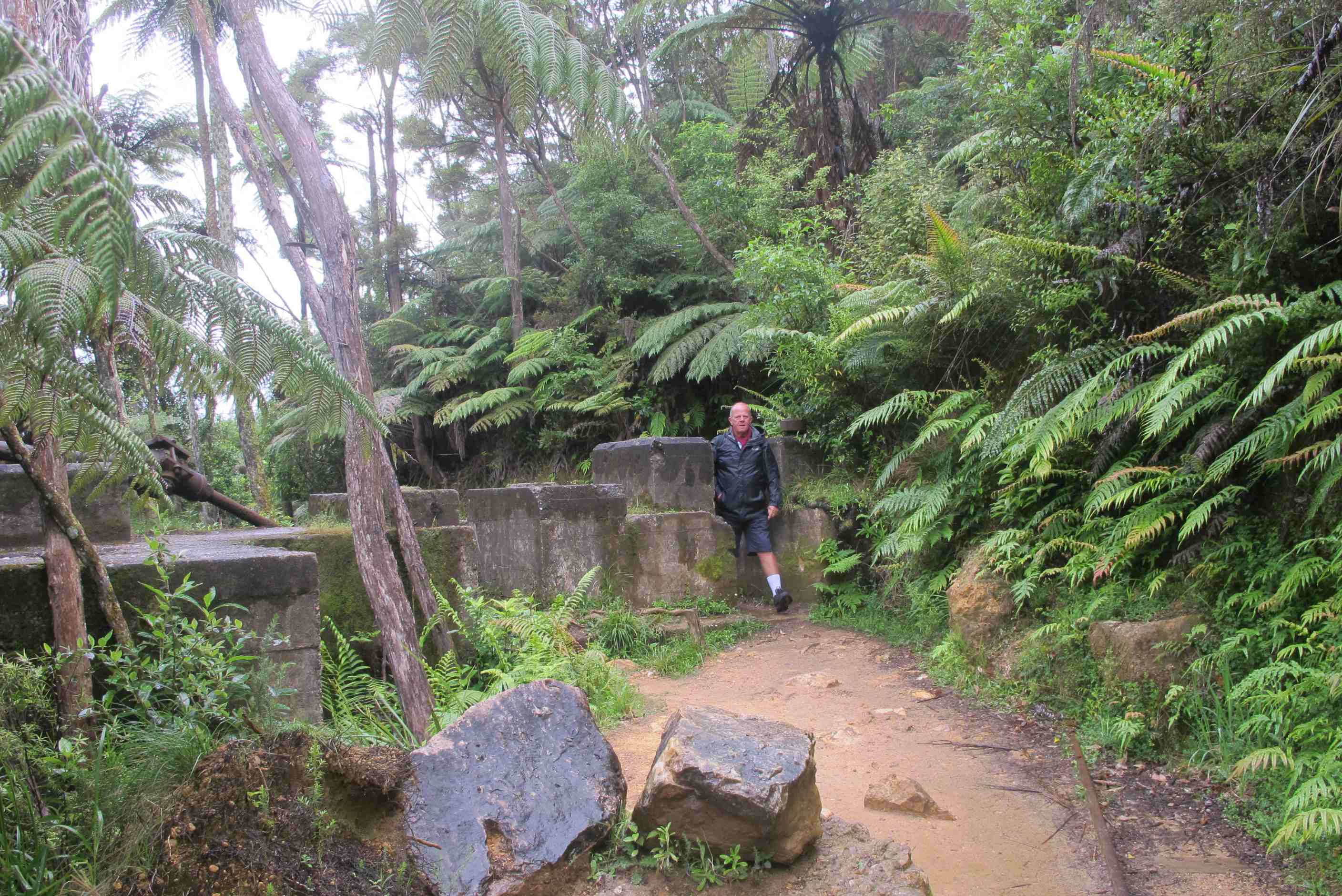
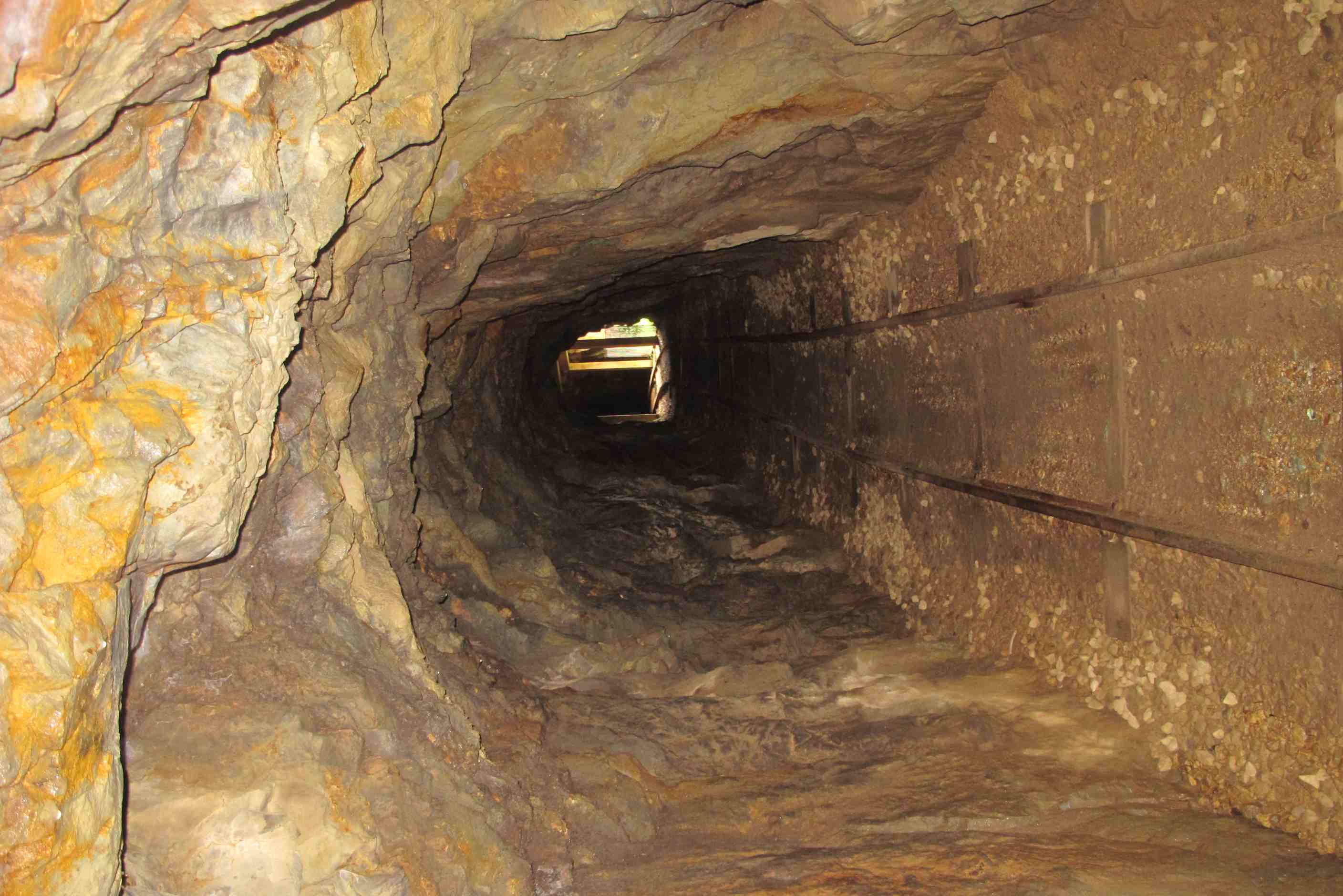
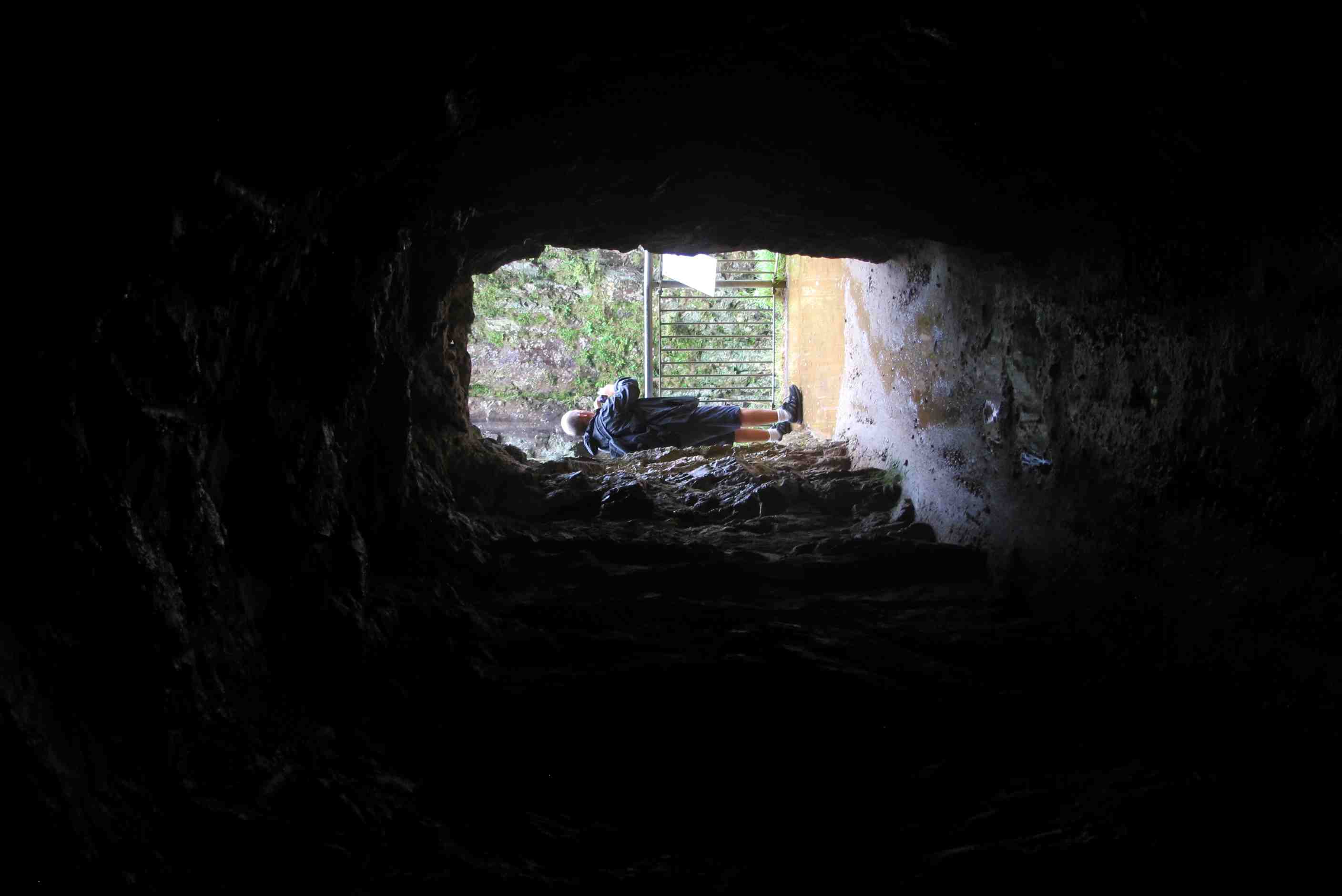
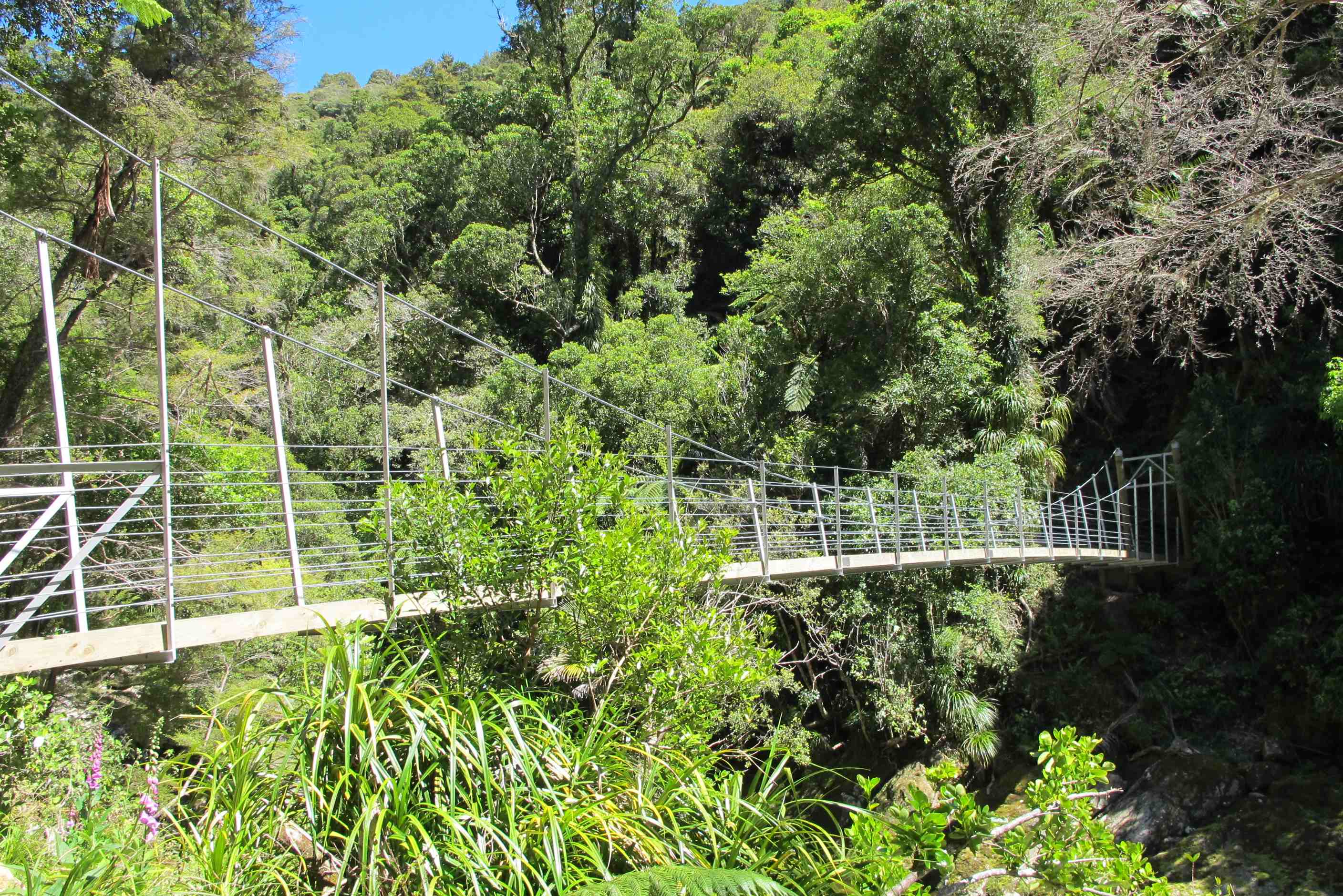
Bad night for me as it poured with rain and it is like being in a tin can under a waterfall! Neil, surprise, surprise did not hear a thing! Set of a little later as still drizzly. Went to Karangahake gorge. Fabulous scenery and the site of an old gold mining town. We chose the Windows walk and set off over a couple of swing bridges, weird as it moved as we walked, felt a bit drunk! Wound up along the river climbing and was very pretty. We passed some signs of machinery and mine shafts. We then went through a tunnel, trying to avoid puddles in the dark. Then we entered another tunnel, it was pitch black, no light at all. The little torch we took was totally inadequate! Neil led the way with me close behind holding his hand, it was like being completely blind! Was quite unnerving but was proud I managed it! the highlight was seeing glow worms, wow! Amazing!
It was all so very lovely through the gorge with the river and waterfalls! Another exciting outing! Then on our way to next place, had a couple of laughs. We passed a bus called. The naked bus! The mind boggles! Then we past a naturist camp, they obviously like life au natural around here!! Also passed a golf club offering membership for $8 a week, around £5. A little less than Minthis! Then went to Okere falls,a lovely walk all through rainforest and saw lots of waterfalls. Also watched a place where rafters shot down and through a narrow chasm! Awesome, see video. Long walk back to a bit of lunch and cup of tea.
Then went to Hamurana springs, a community trust site. Well,amazing again! The giant redwoods were a sight to behold and the river beside us the prettiest and clearest I have ever seen. All was explained when we reached a spring bubbling up from deep undergound, to start the river. Then saw 'dancing sand', this was thermal activity bubbling and making the sand 'dance'. Just arrived at site for night and Neil did all the Yukky jobs whilst I did the washing! Then soaked in the natural hot mineral springs, bliss. Now off into Rotorua for dinner, yum!
Left the camp site early (we were still the only people there) and doubled back to go to the Karangahake Gorge. This was a large gold mining settlement and its story can be seen when you visit. There is a lot to do here, but we settled mainly for a walk down the "windows track". This goes through several pitch black tunnels with some holes in the side that are the "windows". We had a pitiful torch with us which didn't help much, but both us, Sue in particular, did brilliantly without getting our feet too wet, or bumping our head on the tunnel sides. The poor illumination from the torch had a fantastic side effect - it meant that we discovered there were gloworms on the ceiling. They looked like tiny stars in the dark. There were disused mineshafts and the "windows" offered a great opportunity to see the river below as it cascaded over rapids. This really is an amazing place with lots more to see. It was great, even though the weather was drizzly most of the time.
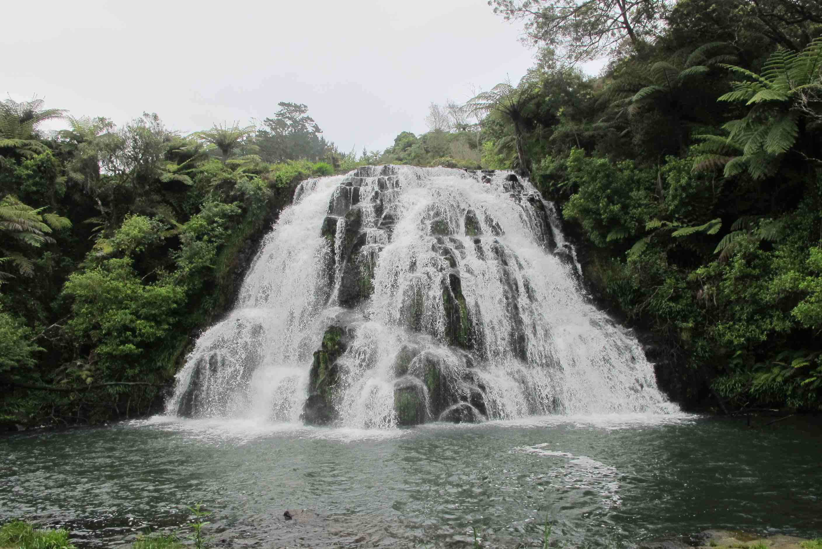
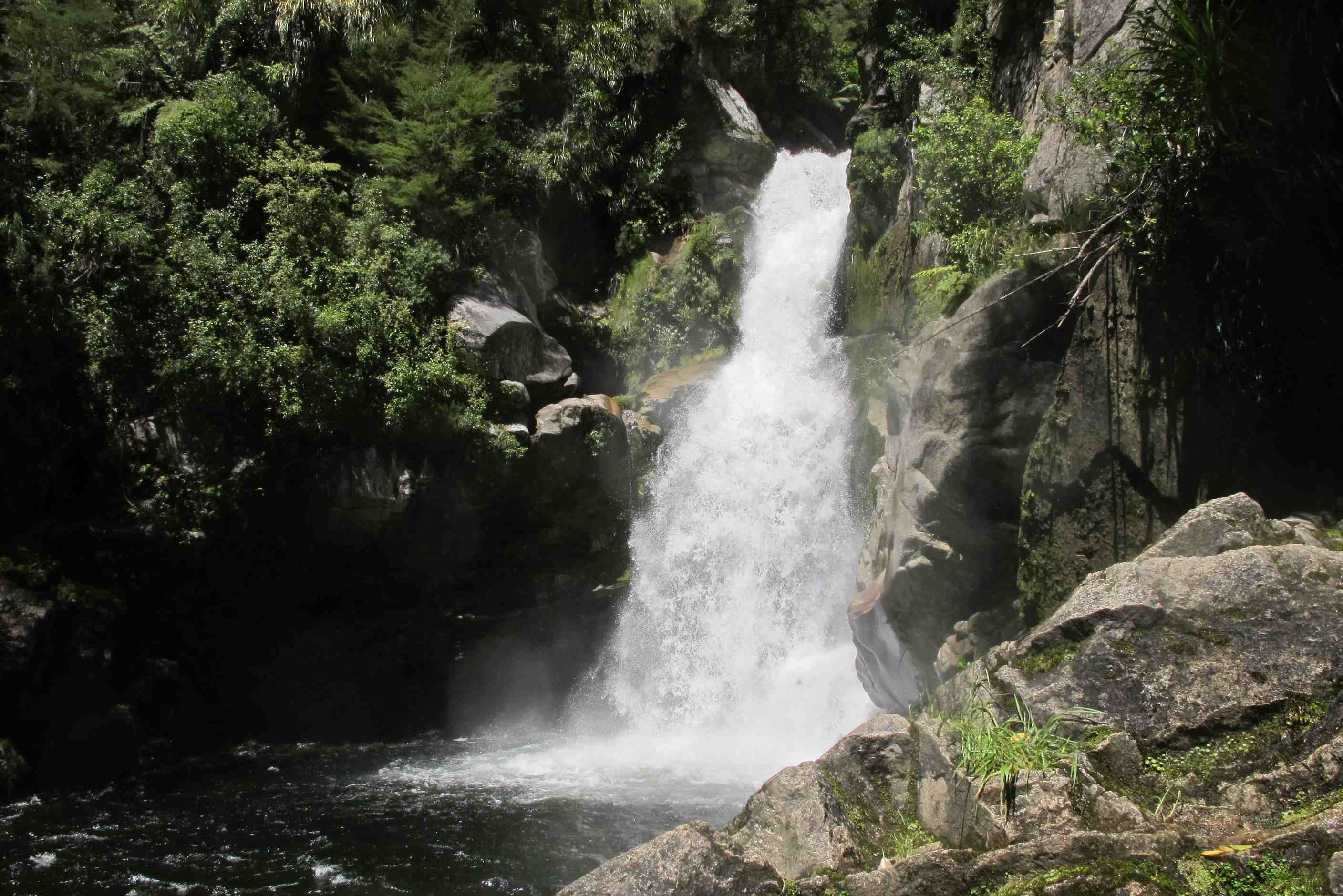
From the gold mine we went another 5km back on ourselves to visit the Owharoa Falls. These were easily reached via a very short walk from the car park and were quite spectacular.
After the falls we carried on down SH2 to go to Mt Maunganui. On a clear sunny day the views from the top of this volcano must be stunning, but it was a dull drizzly day when we got there, so we decided not to stay but to drive on to the Okere Falls and Kaituna Rapids. The falls are lovely, but as you travel along the footpath you start to here lots of shrieking going on. Then round the corner you see a photographer on a platform focussing on a fast flowing rapid with a drop of 7m. Then you see where all the shrieking originated as a boat with about 8 people in it shoots this rapid, plunging into a pool of foaming water where 2 or 3 of the occupants are ejected into the water - hence the shrieking. Usually 3 or 4 boats follow in sequence. It looks to be great fun (to watch).
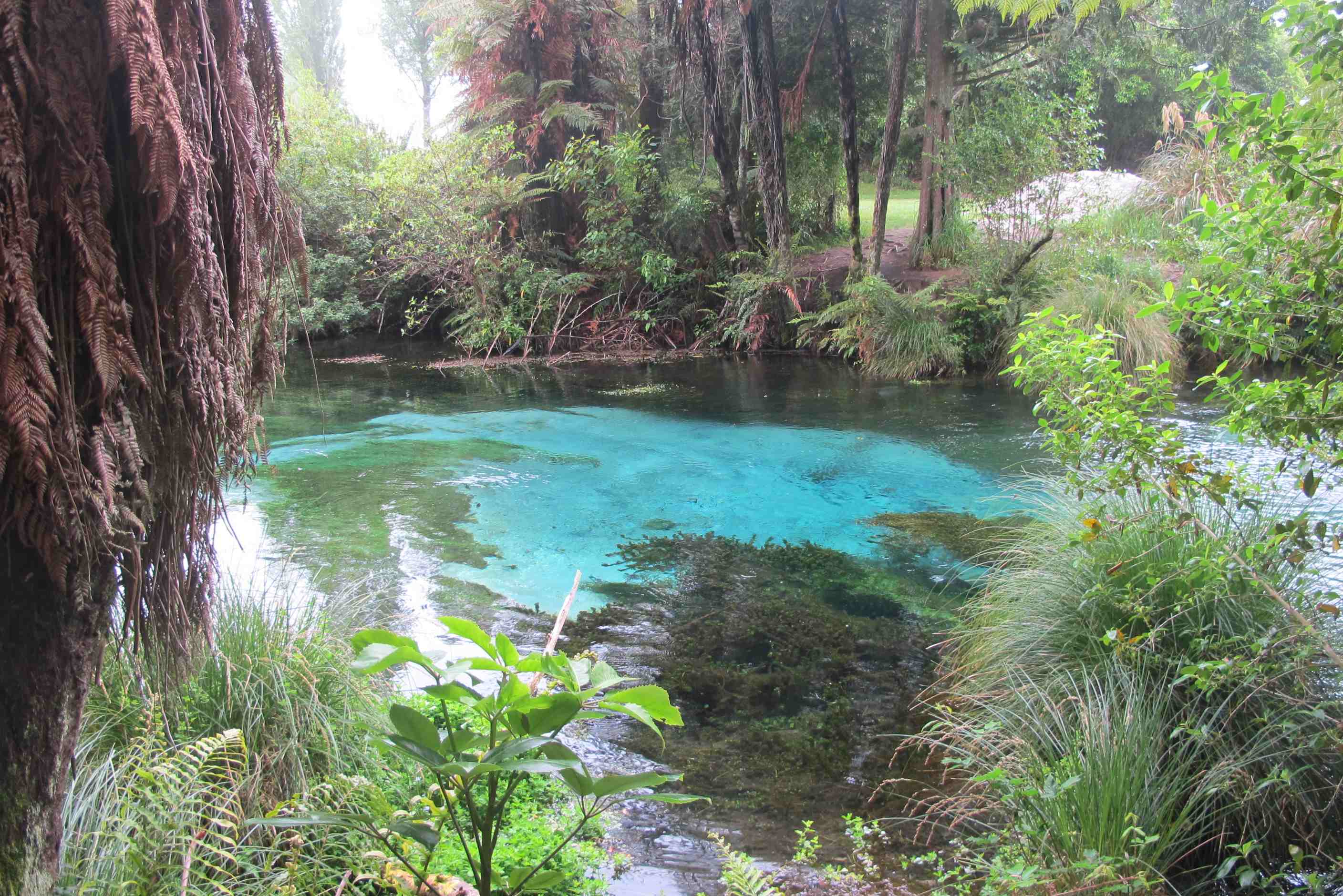
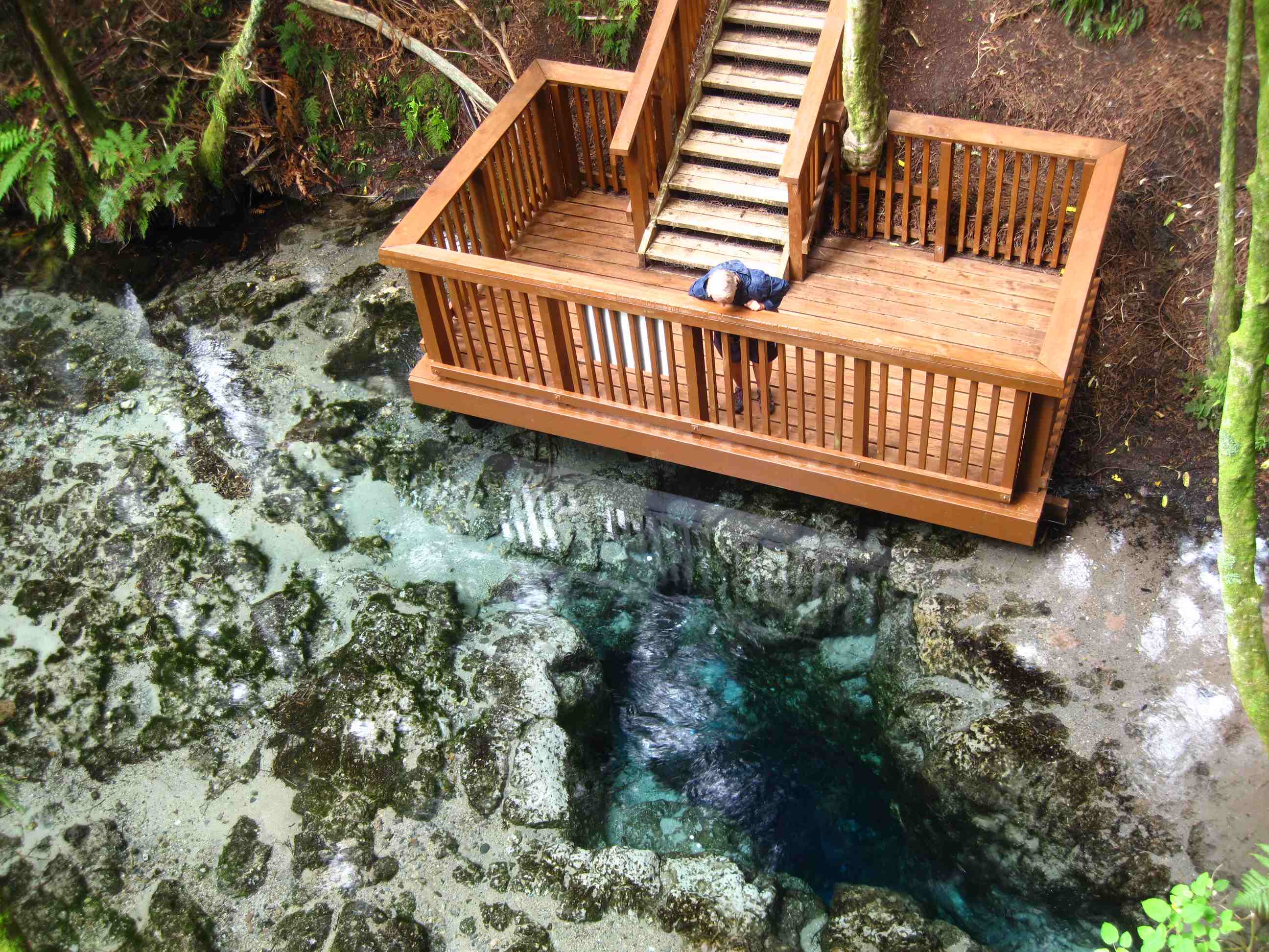
dWe then moved on to Hamurana Springs, where there is a beautiful walk through what seems a forest of giant redwoods, which are the tallest living things on Earth. These were huge, even though they were only planted 90 years ago. Some redwoods live to over 2,500 years old. The redwoods are by the side of a river with wonderfully clear water, which sports black swans, ducks and trout. This water wells up from a fisure in the river bed from which flows half a million litres of pure water per hour that has been filtered underground for over 70 years before rising to the surface again at a constant 12°C day in day out. This is a magical place and well worth the $18 entry fee, which goes towards its upkeep.
Finally we decided to call it a day early and make our way to the Top 10 Holiday Park in Rotorua, where we planned to stay the night. We were lucky, we should have booked as they were almost full. The lady on reception managed to squeeze us in though and while Neil went to empty the poo cassette and grey water and fill up with fresh water Sue started the laundry and had a restful half-hour in the thermal pool that is a feature of this holiday park. Neil was late getting his session in the thermal pool as the pipe from the grey-water tank had separated from the outlet pipe and as soon as he opened the valve it started to come out under the motorhome instead of into the dump drain. Neil then had to strip off and do his Mac the plumber impression, bang several times on the pipes and declare the problem fixed. The thermal pool was a welcome relief after all that hassle.
We decided to walk (20 mins) to "Eat Streat" in Rotorua. This is like Bar Street in Paphos, but with eateries instead of bars. We had a lovely meal, starting with a shared pot of some of the biggest mussels we had ever seen, then Sue had stone-cooked lamb and Neil stone-cooked rib-eye steak. "Stone-cooked" is a misnomer as it is not cooked but comes on a very hot stone platter and you yourself cut up the meat and cook it on the hot stone. In any case it was delicious!
night |
kms |
Overnight Stay at |
Cost/night |
Facilities |
Wow Factor |
Photos |
|---|---|---|---|---|---|---|
| 13 | 140 | Orakei Korako - Lakeside (Freedom Camping) | 0 | 2 | 5 |
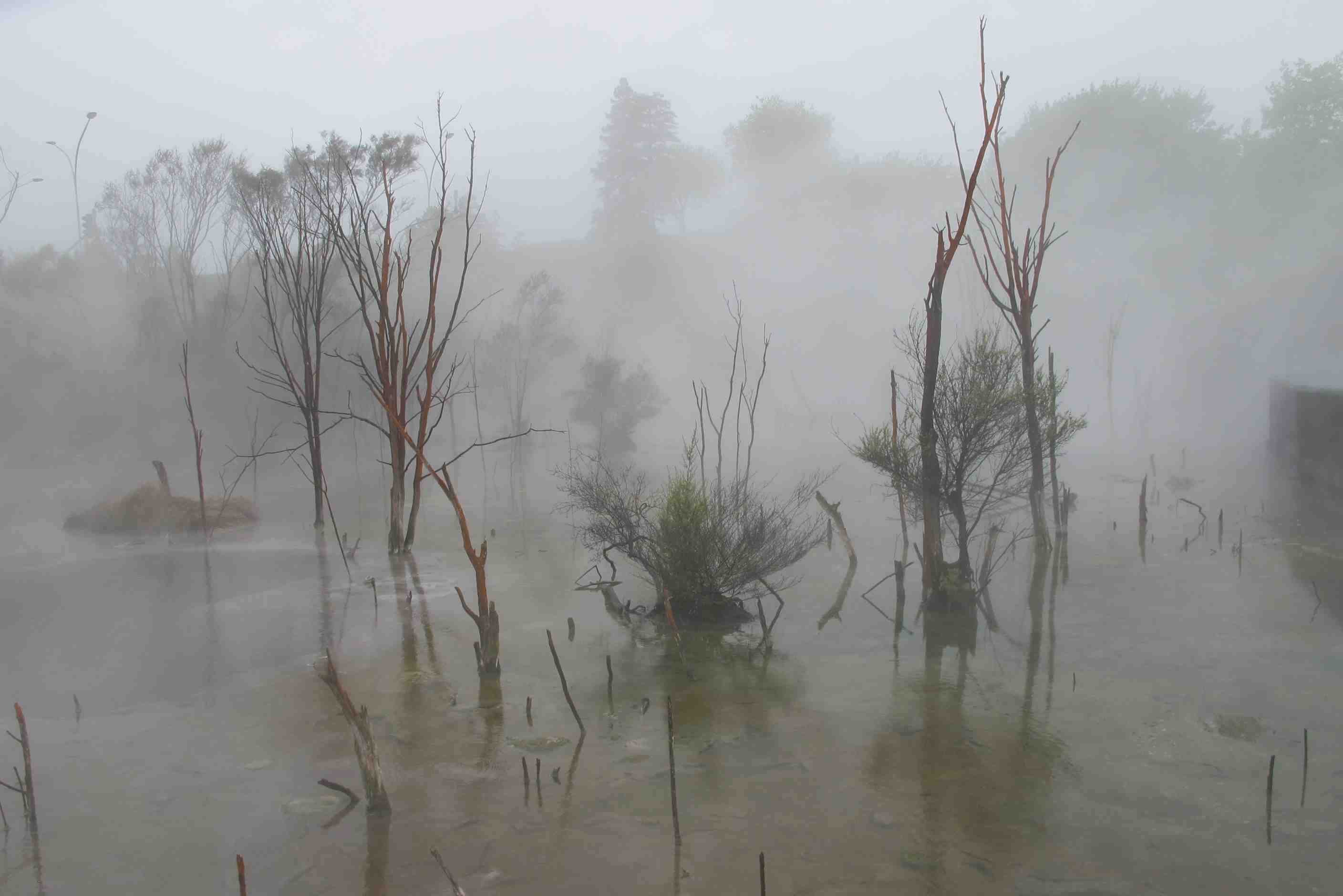
Lots of rain again and wettish this morning. Walked round to the local park, right in the middle of town, and wandered around and saw steam everywhere, looked spooky and smelled evil! Mud pools amazing. Beautiful flowers, trees and green areas too. Very interesting start to the day. Then left a little later as pouring with rain, not a nice morning.
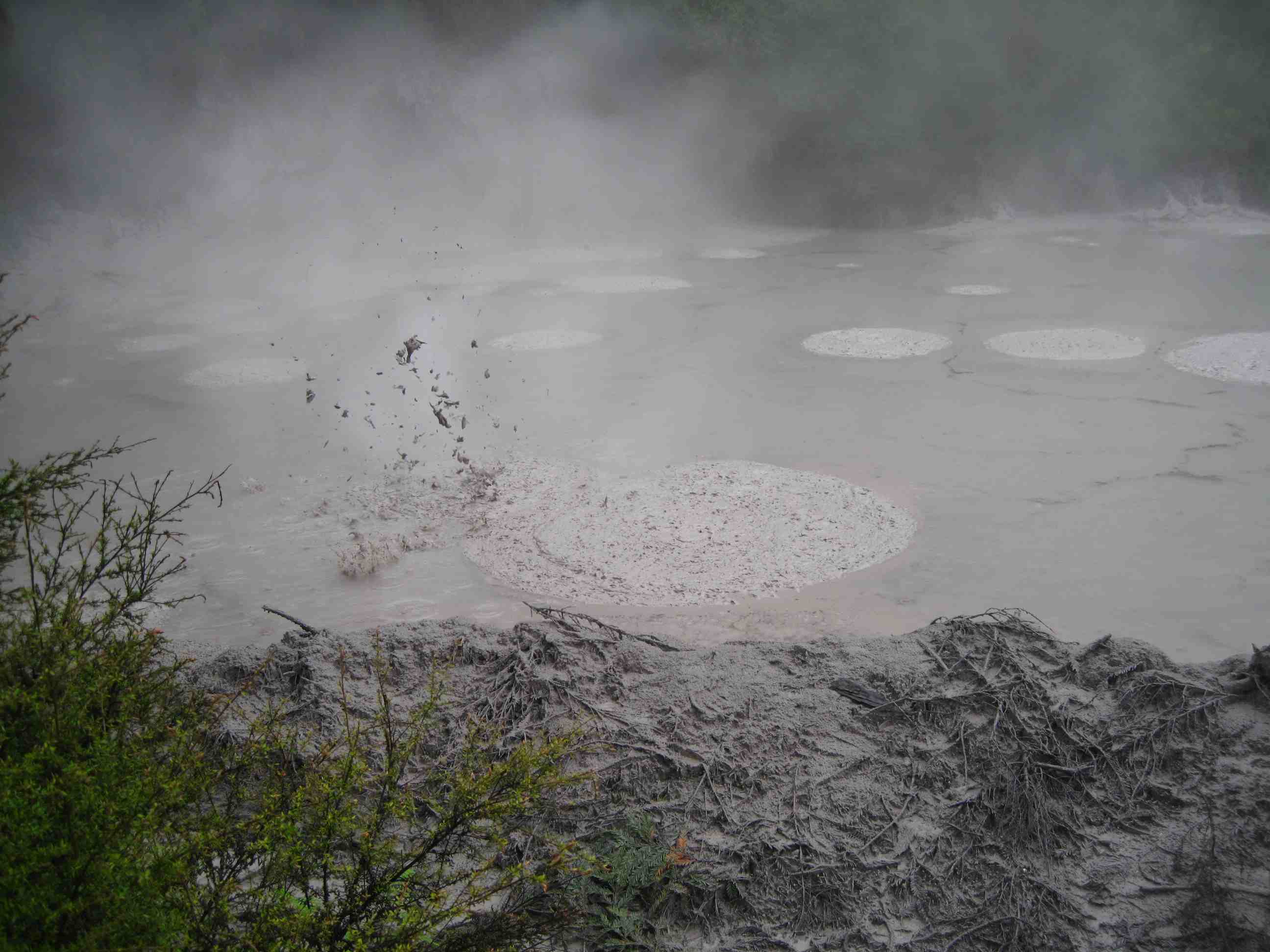
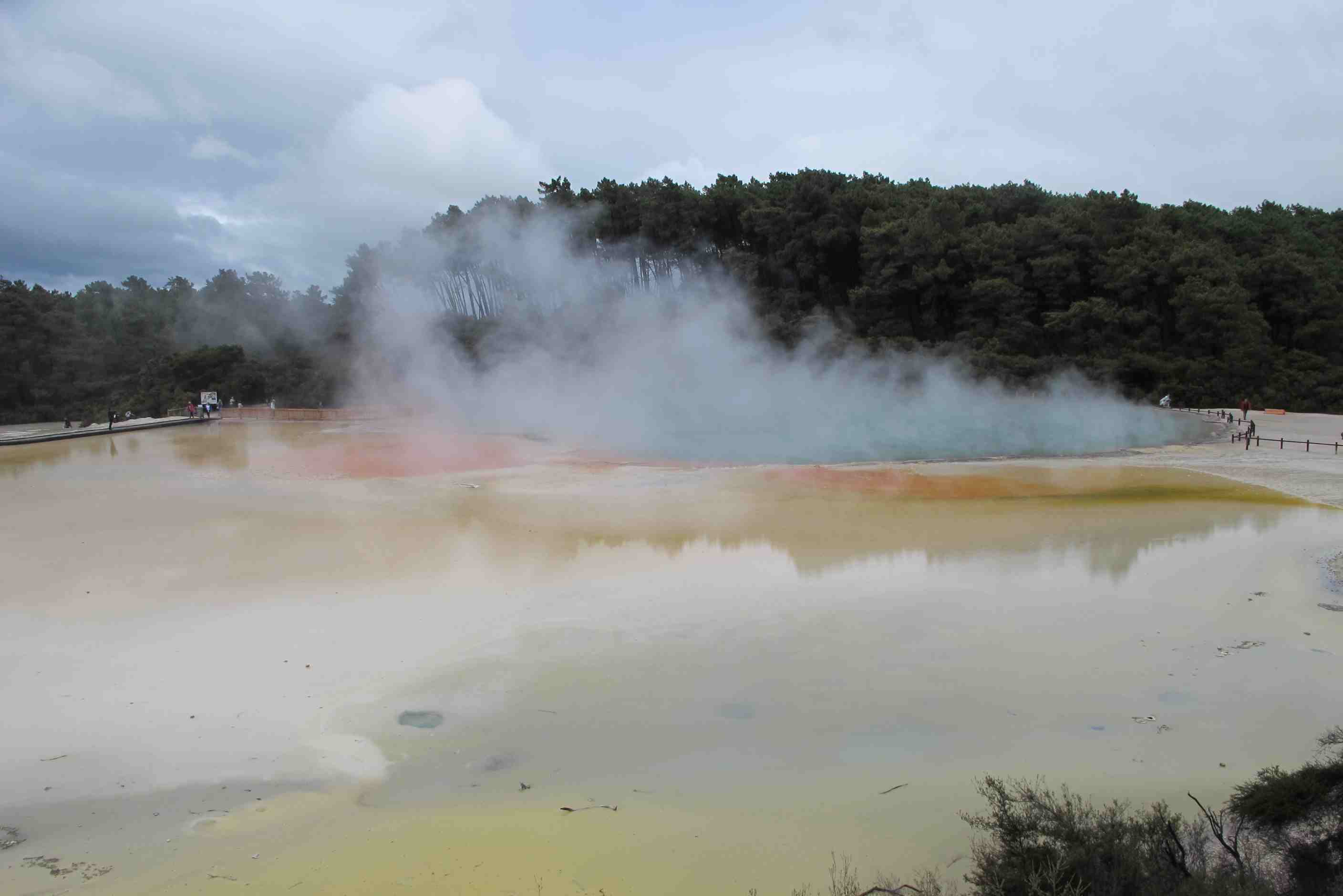
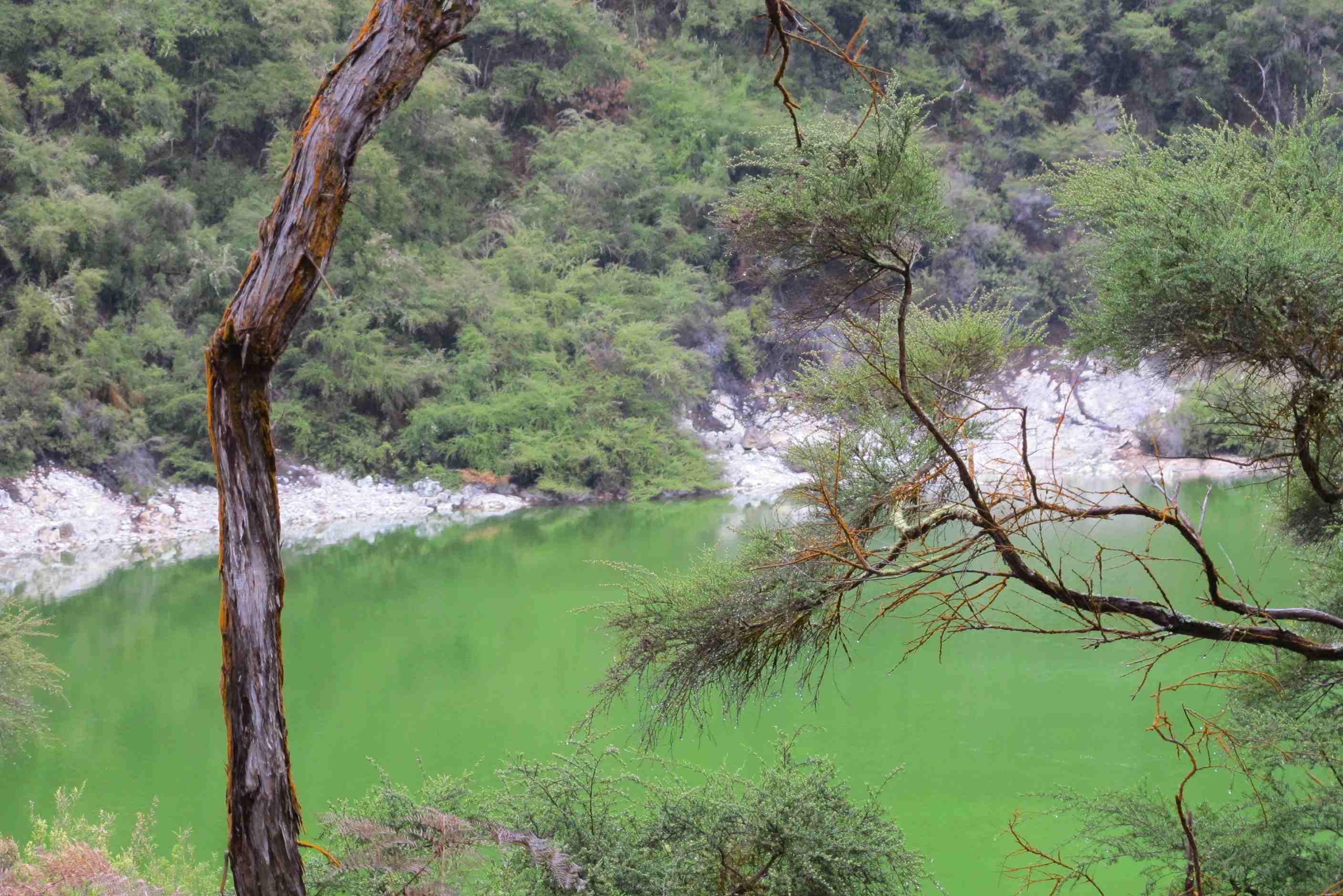
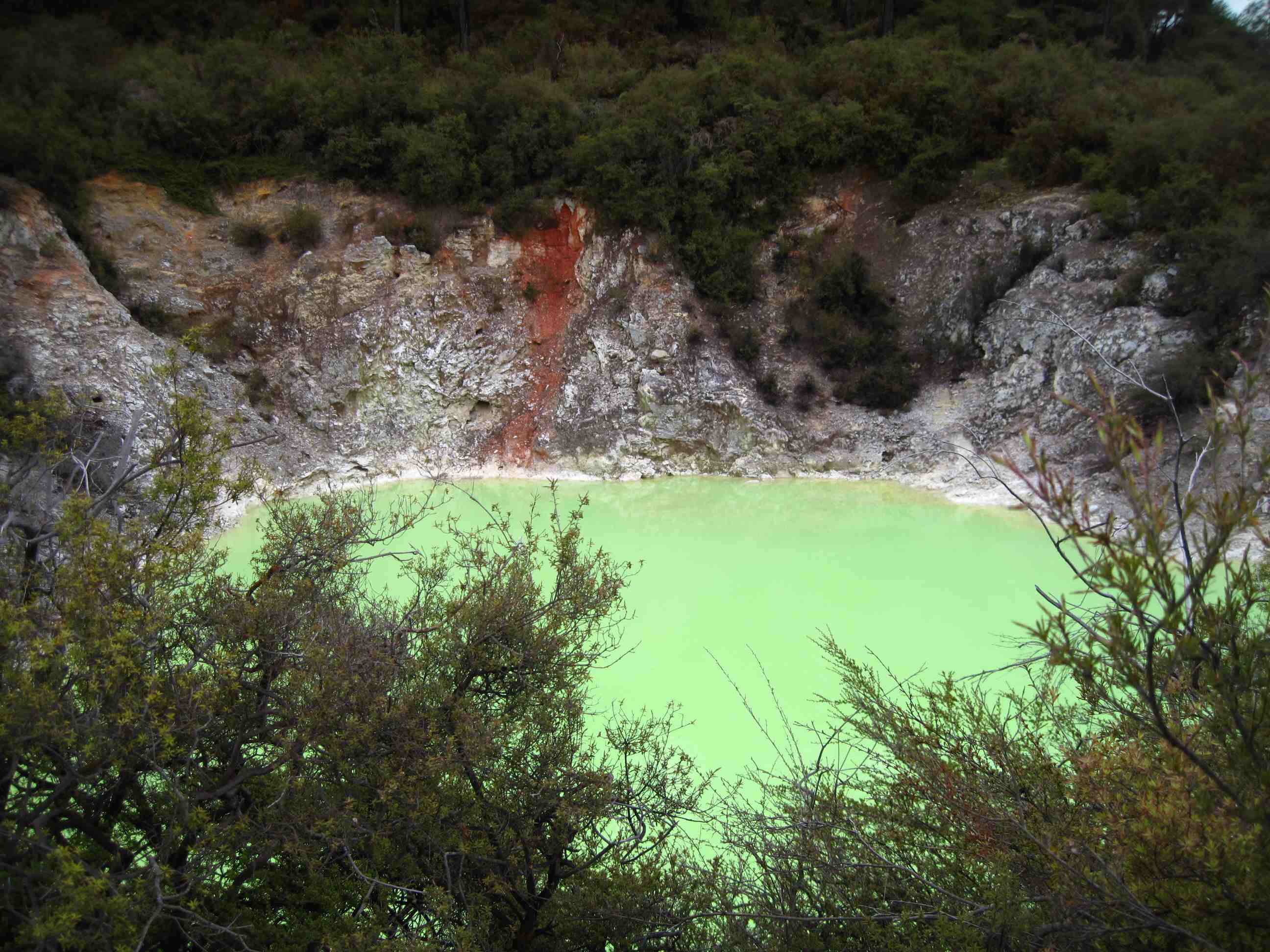
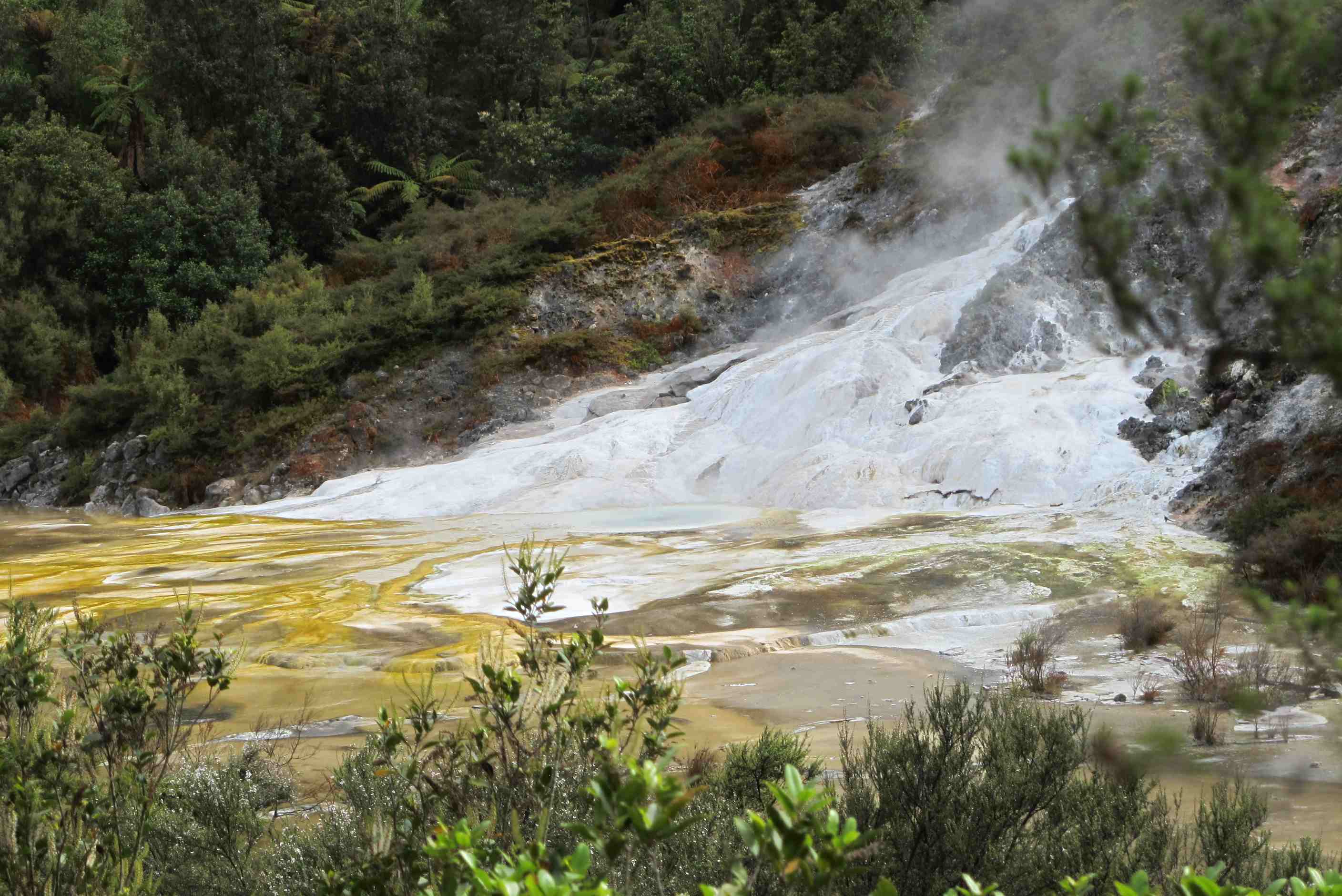
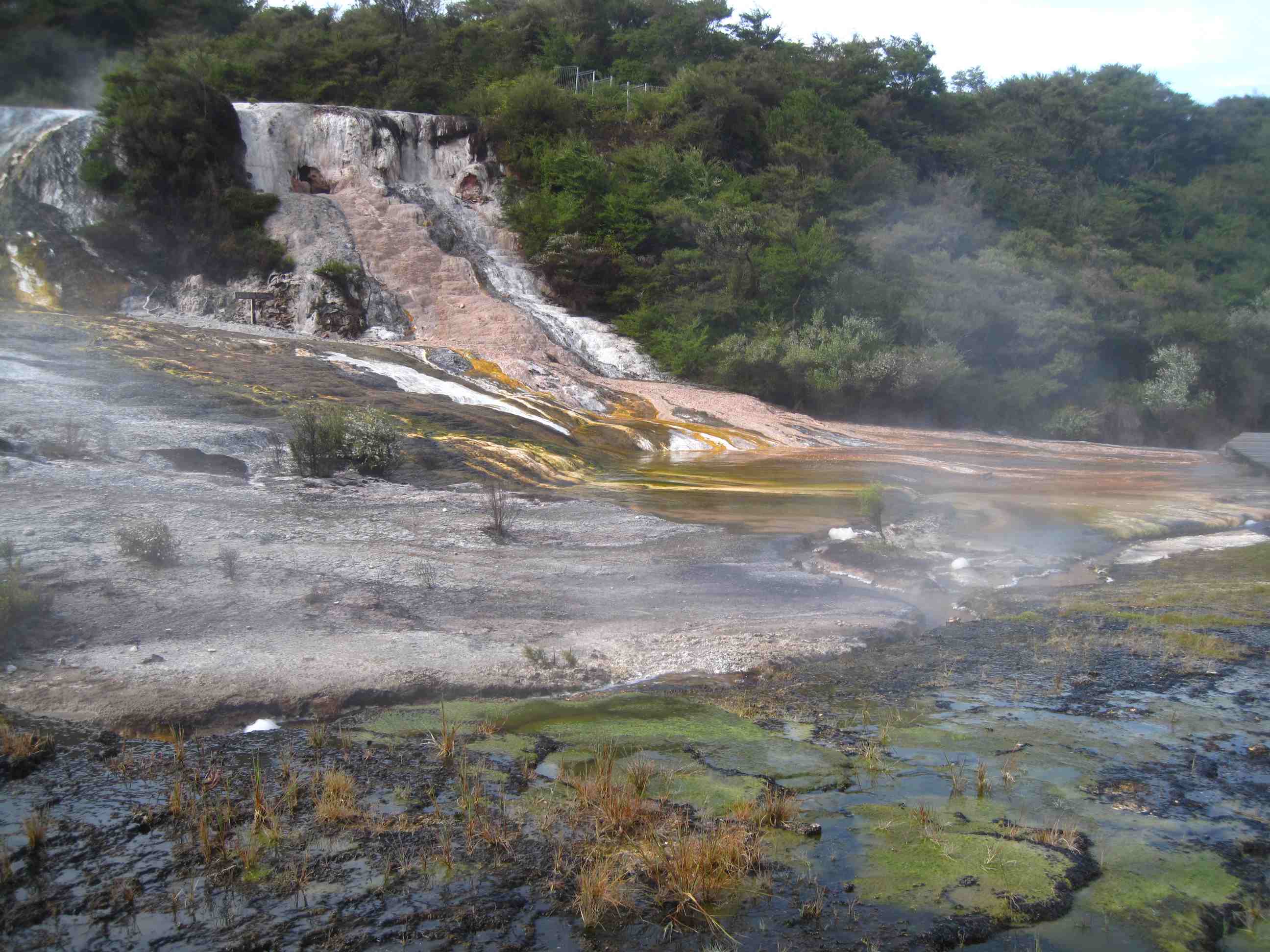
Travelled to more mud pools, WOW, this big pond full of bubbling mud! What a sight and sound, awesome! Stopped raining and sun out, great. We then went to the touristy Waiotepo thermal wonderland. It was very well done and not many people. Walked for about 2 hours and saw truly amazing things! Sulphur mounds and caves. Steam vents and caves. Bubbling pools and stunning colours of the champagne pools. Water temp 100°C in most places! Then the greenest lake imaginable, wow! Then to finish a green Pond! Do you remember gooey luminous green slime our kids used to play with, well like that.
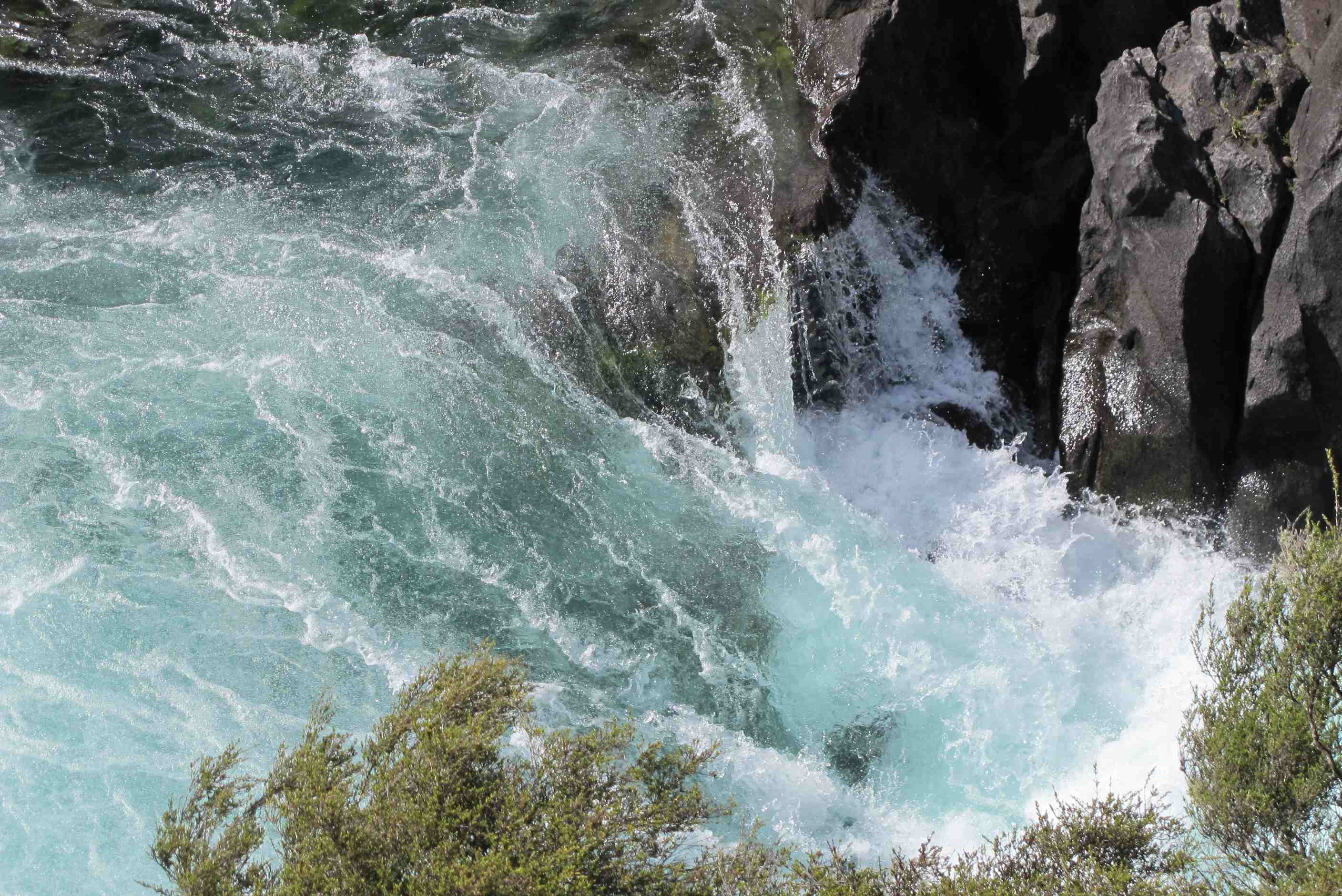
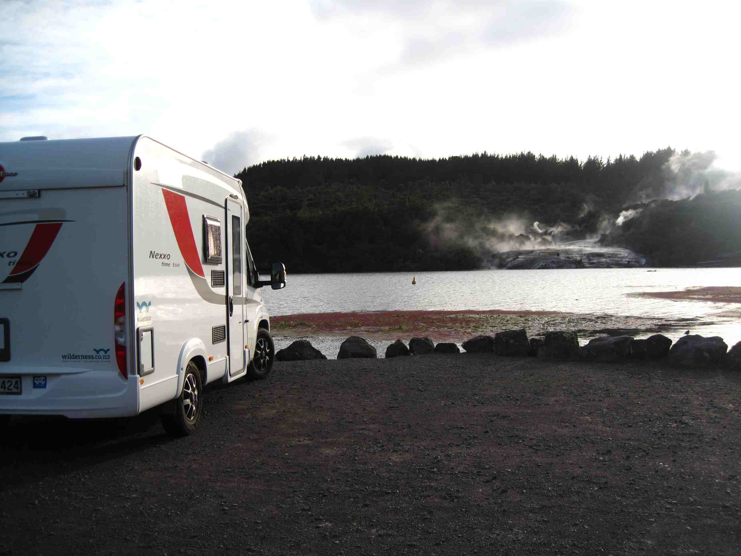
Then raced off to catch the opening of the sluice gates of a dam to flood a river, unbelievable. Then on to Huka falls, mind blowing! Could not believe what we saw. Then back a little way to park up at another thermal park. We will go there early morning. Neil cursed the drive and we had to wait 5 mins for cows to cross road, but double WOW! when we got there. All to ourselves, right on the lake front,opposite thermal outpourings. The lovely lady there opened the toilets for the night for us. Then, how lucky are we, as only ones here, she told us about hot water place in lake, outside our van and said we could go in, it is truly special.
First stop today was a 5 minute walk to Kuiro Park adjacent to the holiday park. There was a rugby pitch at the nearer end and geothermal vents at the other. It was interesting to walk along a pathway with lovely trees growing just metres away from boiling water and miniature mud geysers. Then we used the last of the WiFi facilities at the holiday park to download e-mails and upload the part of the blog written last night.
We drove to the Waiotapu Thermal Wonderland - no really it is officially called that! What a fantastic place with hot springs, baubbling mud and sulphur fumeroles. We spent quite a bit of time here and loved every minute of it. There were lakes of every color, from crystal clear to orange, blue, green and flourescent green! We were blown away with this last one at the end of a long loop that shows off the area to it best.
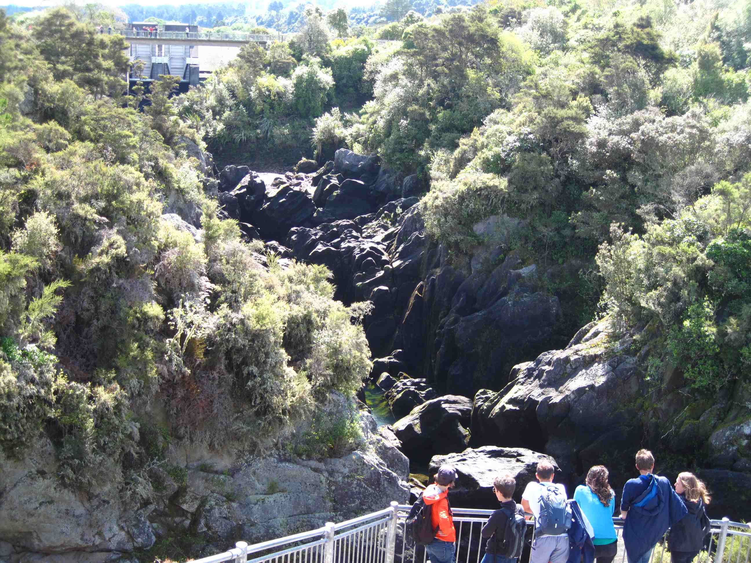
From here it was on to the Aratiatia Rapids on the Waikato River. When you get there the falls are nothing apecial in fact they are dry. But at 10am, 12 noon, 2pm and 4pm they open the sluice gates in the dam above the rapids and millions of gallons of water rush down the river to create a spectacular event. There were a few other people around to watch the event, but they were forgotten when the sluice gates opened.
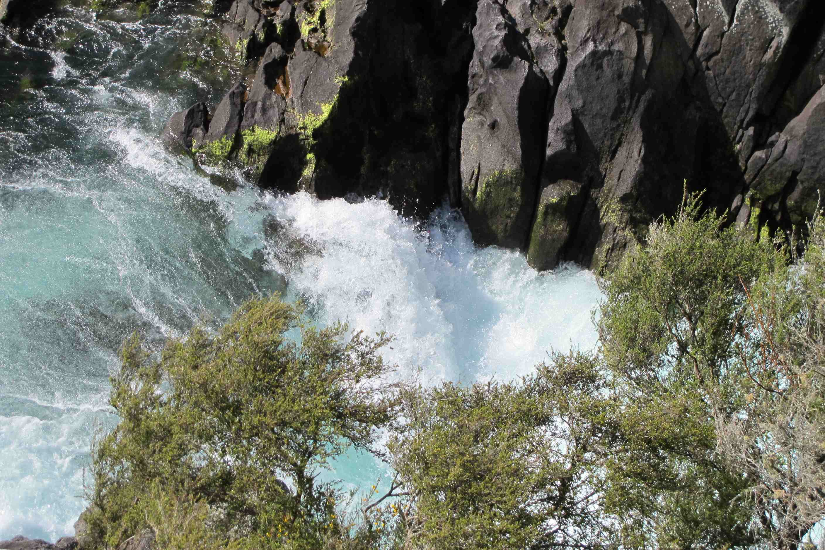
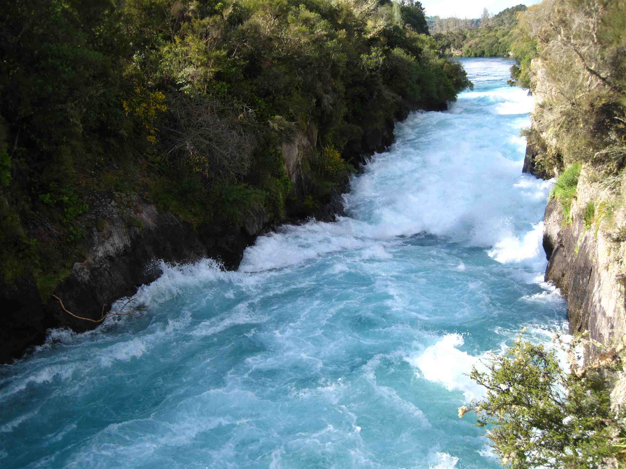
Then on to Huka Falls. We thought we would get there, spend 5 minute photographing then be on our way. In actual fact we spent about three quarters of an hour watching this phenomenon. It was stupendous. If we thought Aratiatia was a great gushing of water it paled into insignificance compared to Huka. Well maybe that was a biy of hyperbole on my part, but we cannot stress how fantastic Huka Falls are.
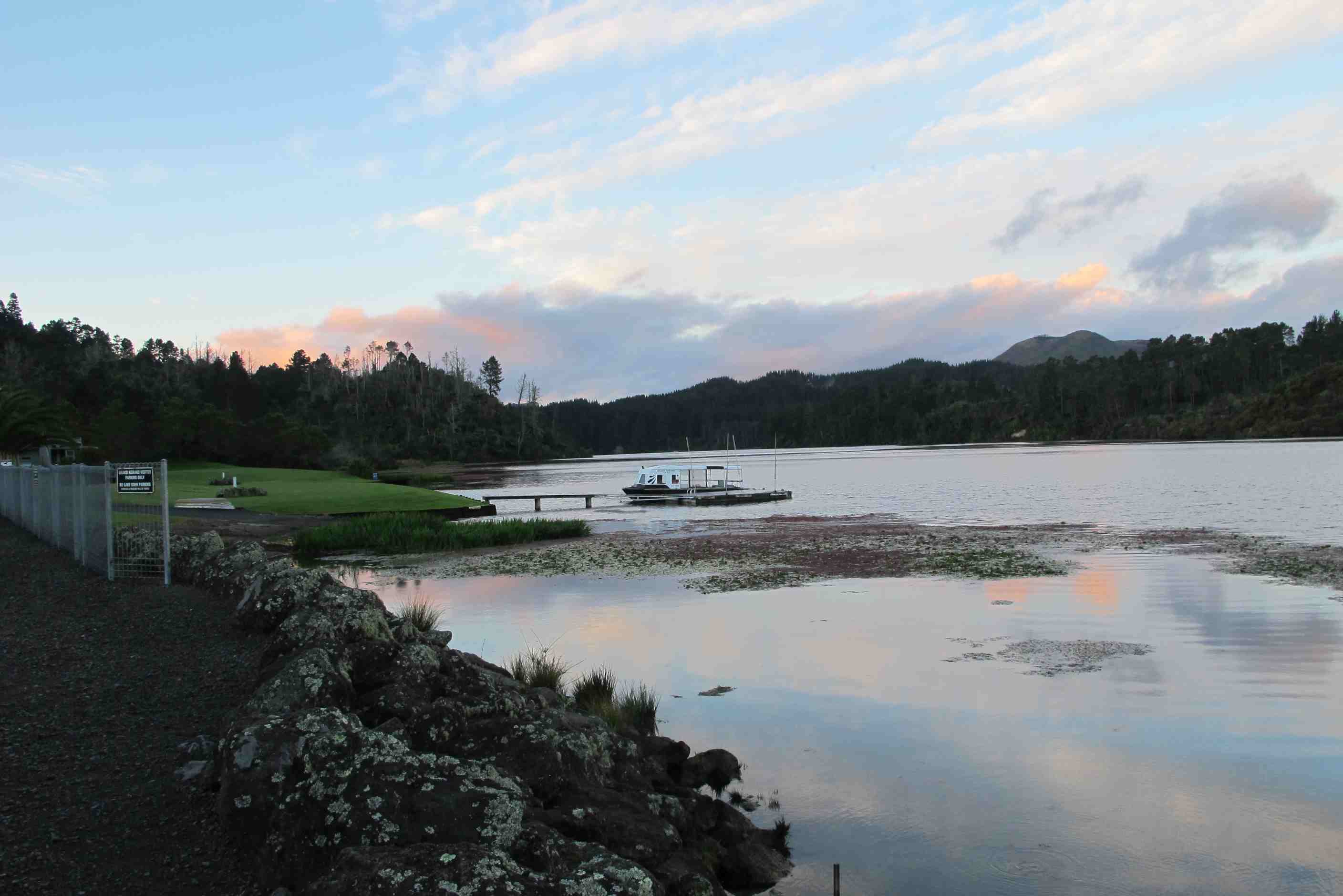
We decided to freedom camp for the night in the car park at Orakei Korako, another geothermal wonderland. Camping in a car park sounds aweful, but when we arrive the very nice lady who runs the site opened the toilets for our use overnight. She then told us about the park and how the lake in front of which we were parked had areas, including one just 5 metres from our motorhome, where the water is very warm. This water is crystal clear and very good for the skin. Sue could hardly wait to go skinny-dipping, while Neil got very excited at paddling in a depth half way up his shins. We can have a lie-in tomorrow as the park opens at 8am, which means we will beat any crowds being bussed up from Rotorua.
night |
kms |
Overnight Stay at |
Cost/night |
Facilities |
Wow Factor |
Photos |
|---|---|---|---|---|---|---|
| 14 | 118 | Tarawera Cafe - Overlooking the Forest (Freedom Camping) | 0 | 2 | 3 |
What an amazing place to stay the night and to wake up in. Had a paddle in hot bit of lake, took some pictures of thermal park and baby ducks! When the park opened we were first on the boat over with a young dutch couple. What an amazing place! Geothermal formations to startle and a long meandering walk through more and more! Hundreds more pictures to look at! Only thing not good, the geyser did not perform for us! A truly magical place.
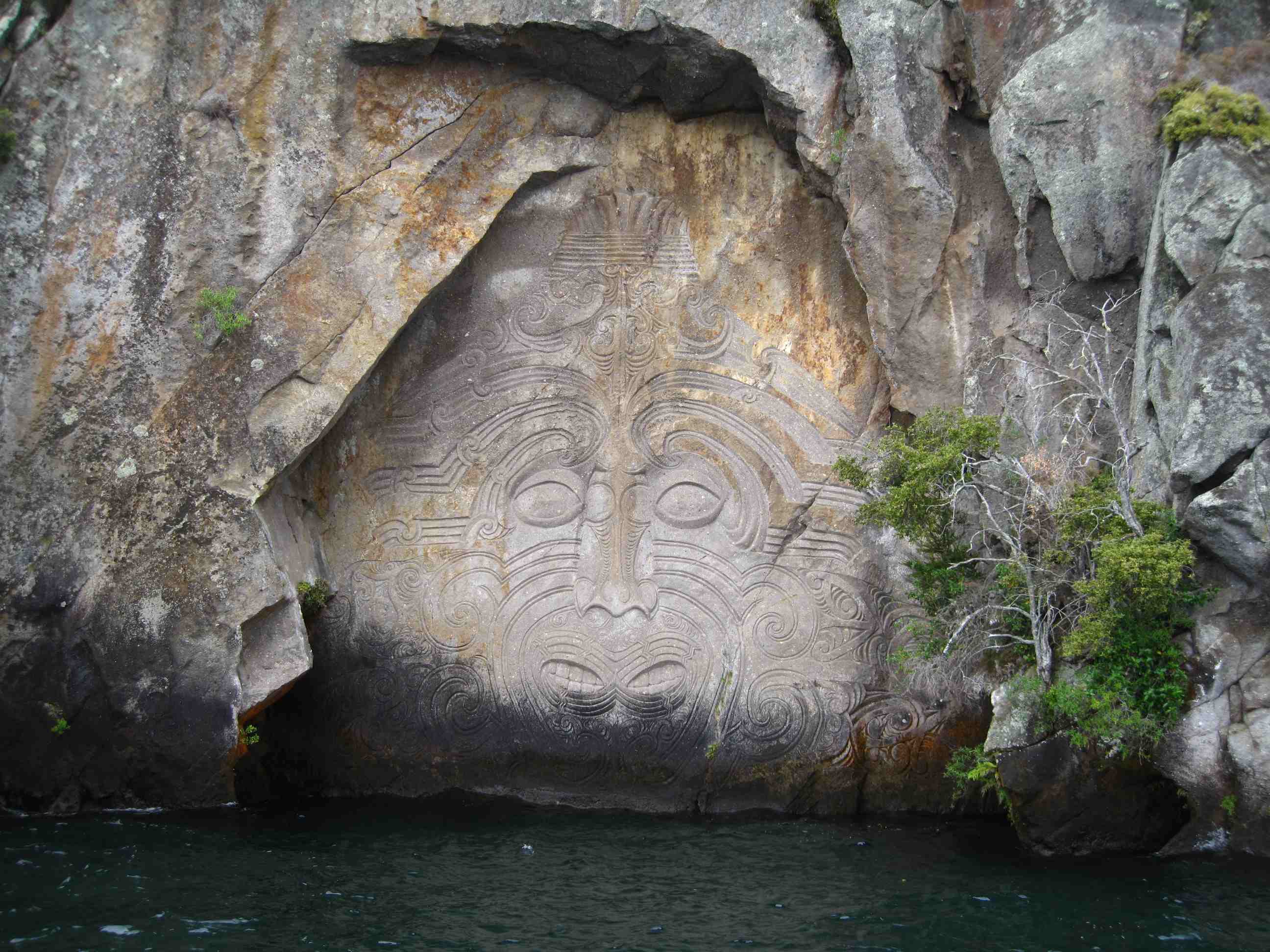
Then on towards Taupo. Had a lovely walk to Whakamoenga point. A narrow twisty path down to a beach side with smooth yellowish rocks. We had to negotiate a few hazards including a plank for a bridge over a gully, no handholds, a leap across another watery crevasse and slippery slopes! We saw a great totem but it was more about the lovely walk and all the houses in what is known as the Beverley Hills of Taupo. We then got on a sail boat for a lake trip to see the Maori carvings in the cliffs. Amazing to see and a great, leisurely way to spend a couple of hours.
Then we decided to head for Napier and stop en route at cafe which offered good food and a place to park for the night. Lovely setting, just a shame the cafe was shut, so omelettes for dinner instead of a tasty meal cooked for me!! Maybe they will be open for breakfast (Neil is hoping for a full-English)!!
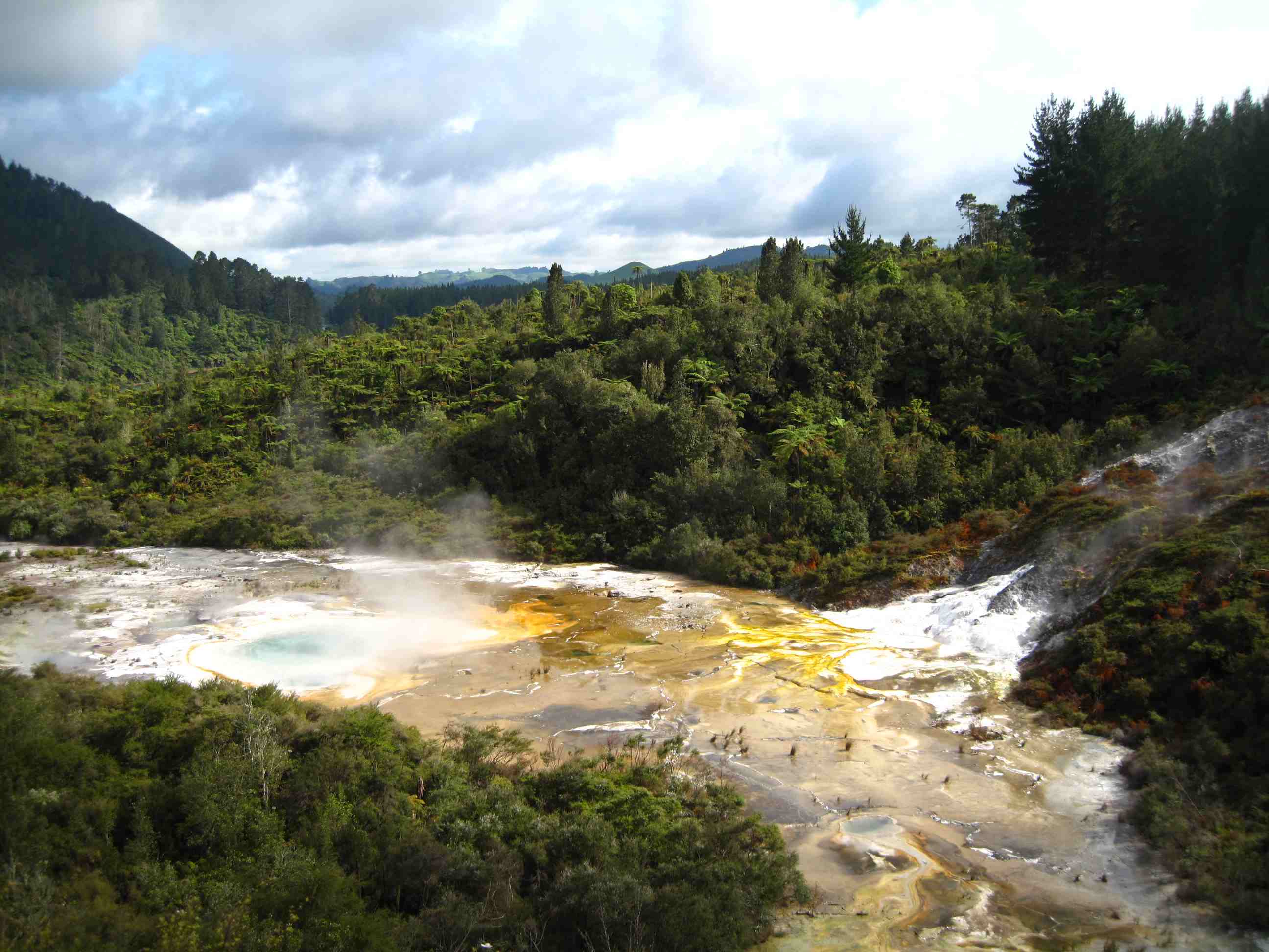
Got up early-ish and sue had a paddle in the thermal pool again. Met a young Dutch couple and we went to the visitor centre at 8am sharp when Dianne opened. We bought our tickets and her husband ferried us across to the other side of the lake. On Neil's request he did a short tour of the lake first. We landed next to the mineral terraces and started out along the wooden walkway that goes through and around the site. First we came to diamond geyser, of course it wasn't "geysering", but we could imagine how it must be when it did. Then we came to Sapphire Geyser, This was bubling and throwing out some superheated water, but not much. Then on to the Artist's Pallete, the name gives it away and a clear but boiling lake with multiple colours arond its edges. We went on to see bubbling mud pools and a geothermal cave, which is now out of bounds since the earthquake that hit Christchurch also caused some rockfalls here and it is deemed too dangerous to enter. All in all this park is a brilliant place to go, we spent 2 hours going round it.
Then we travelled to the outskirts of Taupo for a walk to Whakamoenga Point (don't forget "wh" is pronounced "f"). It was a 20-minute trek, for the most of it easy walking. At the end is flat rock, which looks to be a "petrified" beach. There is also a weird sculpture on the beach just before you get to the end (see the photo).
Then we went into Taupo itself and called in at the local I-Site (tourist office) to see if it would be possible to have a boat trip to the rock carvings just past Whakamoenga point, which date way back to (wait for it) the 1070s. We booked on the Barbary, a sailing boat (with a quiet, odourless electric engine) that has a larger than life female skipper. The boat trip was a nice relaxing one and the carvings were very intersting. On the way back the skipper unfurled the sails and cut the engine and we zipped along at a speed just slightly faster than a Yorkshireman reaching for his wallet to buy a pint, since there was no wind at the time. The lake itself is huge, formed by extreme volcanic explosions, the first one was so violent it triggered a minor ice-age, while the last, in 101AD was commented on by the Chines and the Romans as it caused crop failure and brilliant red skys for over a year.
Finally we looked at the Wildernessts Book, provided by the motorhome company, for a Freedom campsite for the night. We found one that looked promising that had a "gourmet" cafe attached. But, it being Sunday, it was shut when we arrived, but we stopped for the night nevertheless. Not long before we got there we saw a sign saying "Scenic Lookout", so we pulled into it to see what it was. The scenic point overlooked the Whaipunga Falls - quite impressive. Off to Napier tomorrow after (hopefully) a full-English breakfast in the cafe.
night |
kms |
Overnight Stay at |
Cost/night |
Facilities |
Wow Factor |
Photos |
|---|---|---|---|---|---|---|
| 15 | 362 | Eketahuna - Campsite in the Wood (Freedom Camping) | $16 | 3 | 3 |
Left overnight camp after a slightly disturbed night as it was very windy and van rocked quite a bit. Again, Neil noticed nothing!! Drove to Napier, a lovely town right on the sea. Some lovely Art Deco buildings. Then on to Hastings and Havelock north. All in the Hawkes Bay region, well known to wine buffs! Again lovely little towns. Went to the Arataki honey centre. Very interesting, learnt a lot and tried 10 different honeys! Came away with some honey and relishes, yum!
Then decided to visit Waihi falls. A great walk and the falls were fab but if we had known just how far off the beaten track, may not have gone. Drove a long way today, but through amazing scenery. Arrived at a small camp place. Really nice, run by an older couple, very friendly. Showers, laundry, kitchen BBQ and power all provide for about £5 each! Had a bit of a laugh at Neil's expense, but will also have to own up to one of my own faux pas to tell you about it! The other night, I went and had a shower, lovely, then realised I had forgotten my towel! Had to use my undies and got back to van very damp. Neil had a good laugh at me! Then tonight, Neil went to the shower and forgot his towel! My turn to laugh. Then a little while later a lady called from outside to ask if we had left a watch in the ladies showers. Sure enough, it was Neil's watch he had left behind after using the ladies facilities!! Off to Castle Point tomorrow, can't wait!
Left before the cafe opened, so no full-English breakfast for Neil. Drove into Napier. It looks to be a lovely place, with lots of art deco type of architecture. Then on to Hastings, where we stopped at an i-Site place to ask a couple of questions:
Next we drove over slow winding roads to Waihi Falls, which were brilliant to see, but in deciding to go there we ate up a lot of mileage and time and couldn't make it to Martinborough, where we had hoped to stay overnight. We only made it to Ekatahuna, but found a very nice little campsite there which sported powered sites for only $16 and clean toilets and showers. We could have BBQd, but didn't have any meat with us, so Sue did her gourmet chef act and rustled up a lovely salad and after our kiwi fruit dessert we had some of the Arataki honey on Tiger bread. A feast fit for a king, or at least his page's manservant's maid. Neil logged his surface pro on to the internet using his phone as a WiFi hotspot and went onto the InterIslander Ferry website. Here he brought forward our ferry crossing from Friday to Wednesday. We will freedom camp overnight at a place on the shore a few kilometres away from the ferry terminal tomorrow night, so we can make the 9am ferry comfortably.
night |
kms |
Overnight Stay at |
Cost/night |
Facilities |
Wow Factor |
Photos |
|---|---|---|---|---|---|---|
| 16 | 314 | Owhiro Bay - On the Beach (Freedom Camping) | 0 | 1 | 3 |
Left the lovely, friendly camp site early and set out for quite a long drive to Castlepoint. The drive was lovely through beautiful, ever changing scenery. Saw some cow dogs, herding cows, with their handlers on quads or motor bikes! Quite a sight seeing these small animal in charge of big hulking ones! Castlepoint was well worth the drive! Stunning! wow! It was superb. We went for a longish walk uphill to the gorgeous lighthouse atop limestone cliffs. Views from the top were magnificent. It was very windy so we had to be careful not to go too near the edge, it was a long way down! We then walked along the limestone ledges and tried to come down the back side, but it became far too dodgy so we returned the way we came. The only disappointing thing was that the tide was not out far enough for us to walk to the special cave, such a shame, was supposed to be fantastic.
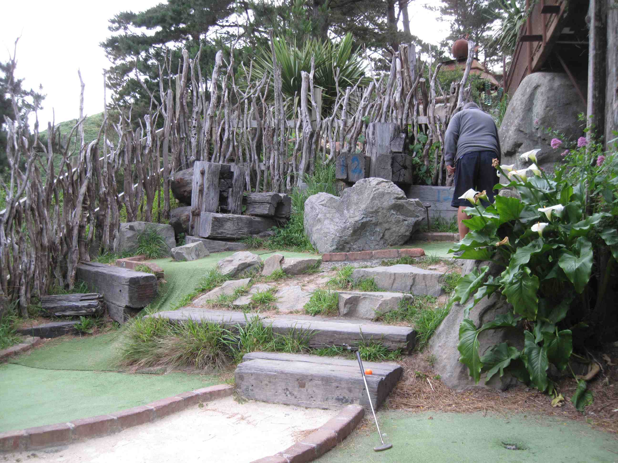
We then continued on our way to Wellington, again through fab scenery and small towns. Martinborough was particularly nice, so was the home made ice cream from a lady by the roadside, yummy. On the way down to Wellington we had to go over a very large hill, looked more like a mountain to me! A seriously curvy road. Then down to a very busy Wellington . We really don't like the big towns , hard work driving and getting lost when we misunderstand the Tomtom. Found something to eat then played a round of crazy golf at a place call Carlucios on Happy Valley road. Quirky does not cover it! try and Google and see if you can find it or wait to see our photos! Settled in our place for the night, yards from the sea. Stunning. Quite windy so home is rocking, hope I can Sleep! Ferry tomorrow, very exciting!
Just an aside, speed cameras over here are not advertised and are painted to blend in are often hidden, sneaky! Luckily Tomtom alerts us! Though of course we never speed anyway.
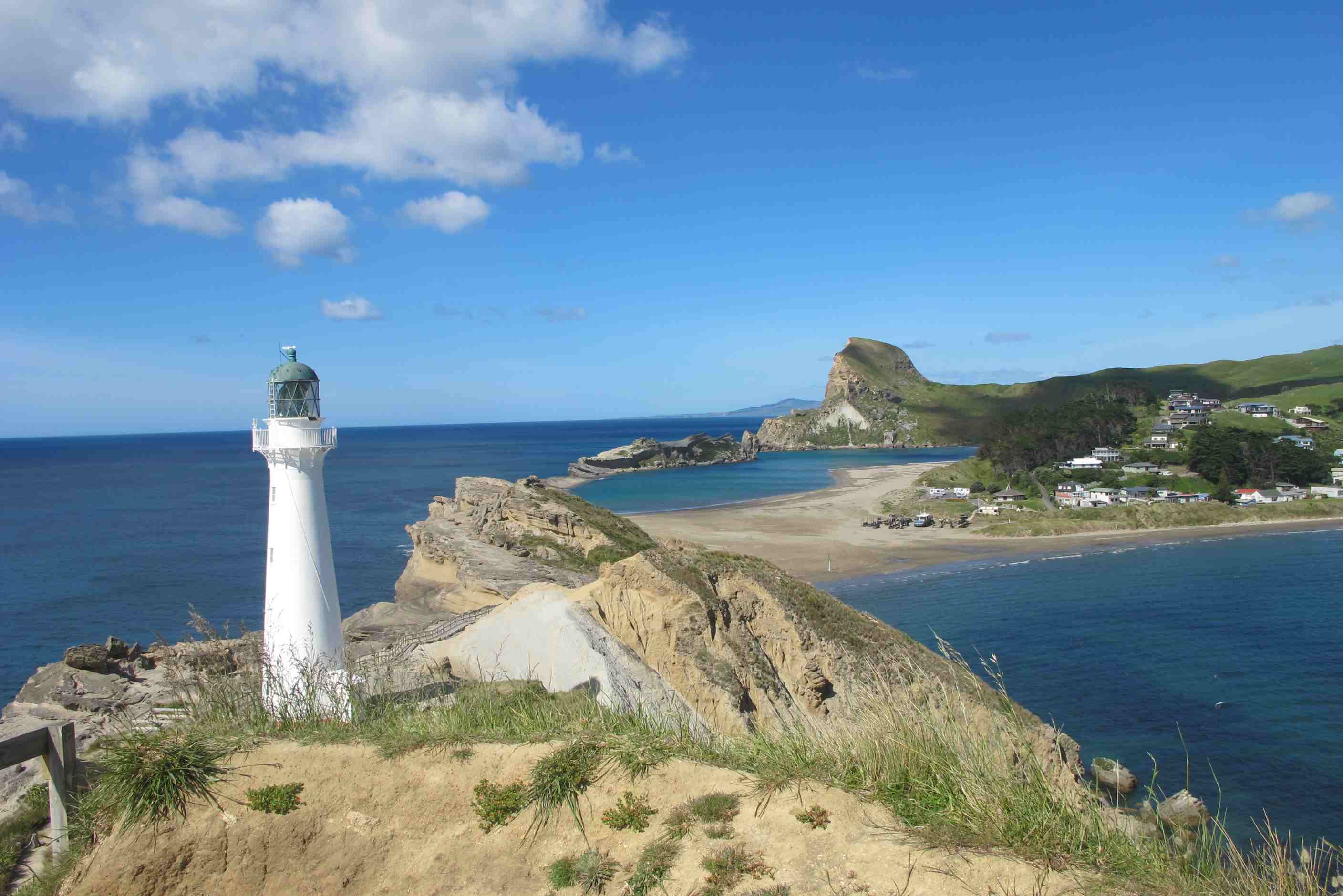
Left the campsite, but not before Neil saw a sign there that said "Free Eggs & Herbs". He took this to mean I'd cook him and nice omellete for breakfast, instead of him havig his bowl of cereal, Dream on!! We then made our way to Castlepoint. This is at the end of a road that takes about an hour to travel. However the two hours journey are well worth it. There is a lovely bay there and of course the most iconic of lighthouses. We made our way up the 250 steps to the lighthouse and then walked a barely discernable path along the ridge on which it is built. It was absolutely magic!
Then, on to Wellington where we drove along the little bays to the East and South. This is a lovely little road with a 40kmph speed limit that makes it easy to do. The views are gorgeous. At the end of the drive we went up Happy Valley Road to a small suburb called Brooklyn. We called in a sports bar, that was packed, to have a meal. The reason it was packed was today was the Melbourne Cup , the most famous Australian horse race. It was won by Rekindling. For today they had a "Buy One Meal, Get One Free", so it turned out to be quite a stroke of luck for us.
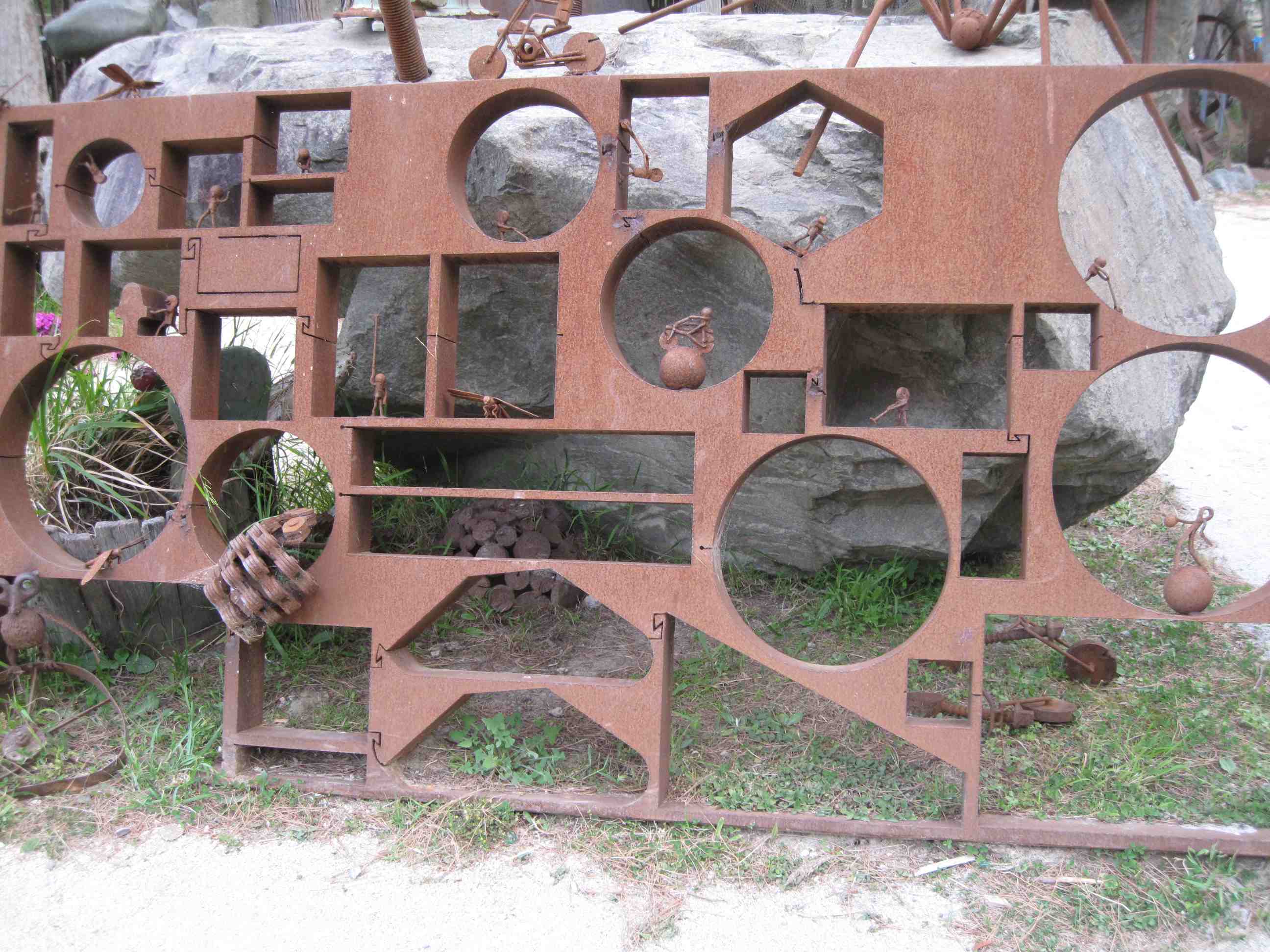
The campsite for the day was back down Happy Valley road to Owhiro Bay. On the way we stopped off at Carlucci's Mini-Golf. which is an extremely quirky plce with rusting metal sculptures all around and some of the most interesting crazy-golf holes we've ever seen. Neil won! Then we went to the freedom camping area. It was very crowded but we managed to bag the last space. It is supposedly illegal to parke there other than in a self-contained motorhome but most people seem to have ignored this. Overnight we had quite a storm, with torrentlial rain and very heavy winds. The Motorhome was tossed around quite a bit and even Neil was woken. Ferry tomorrow.
night |
kms |
Overnight Stay at |
Cost/night |
Facilities |
Wow Factor |
Photos |
|---|---|---|---|---|---|---|
| 17 | 171 | TOP10 Motueka in town | $40 | 3 | 2 |

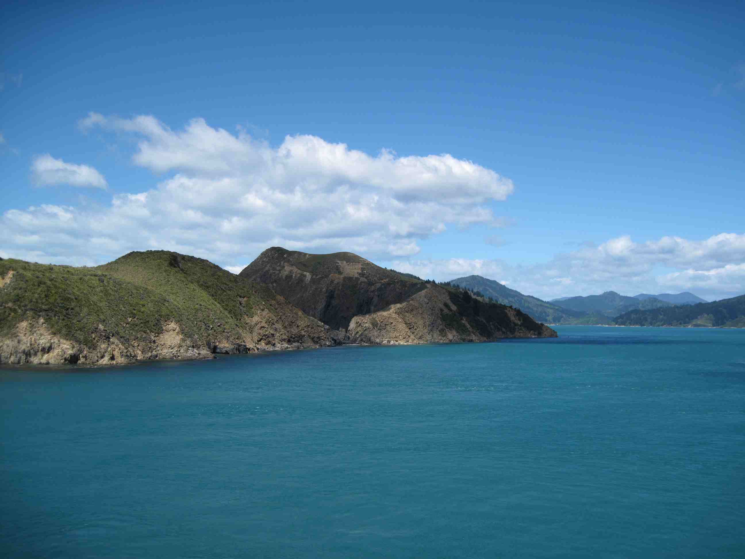
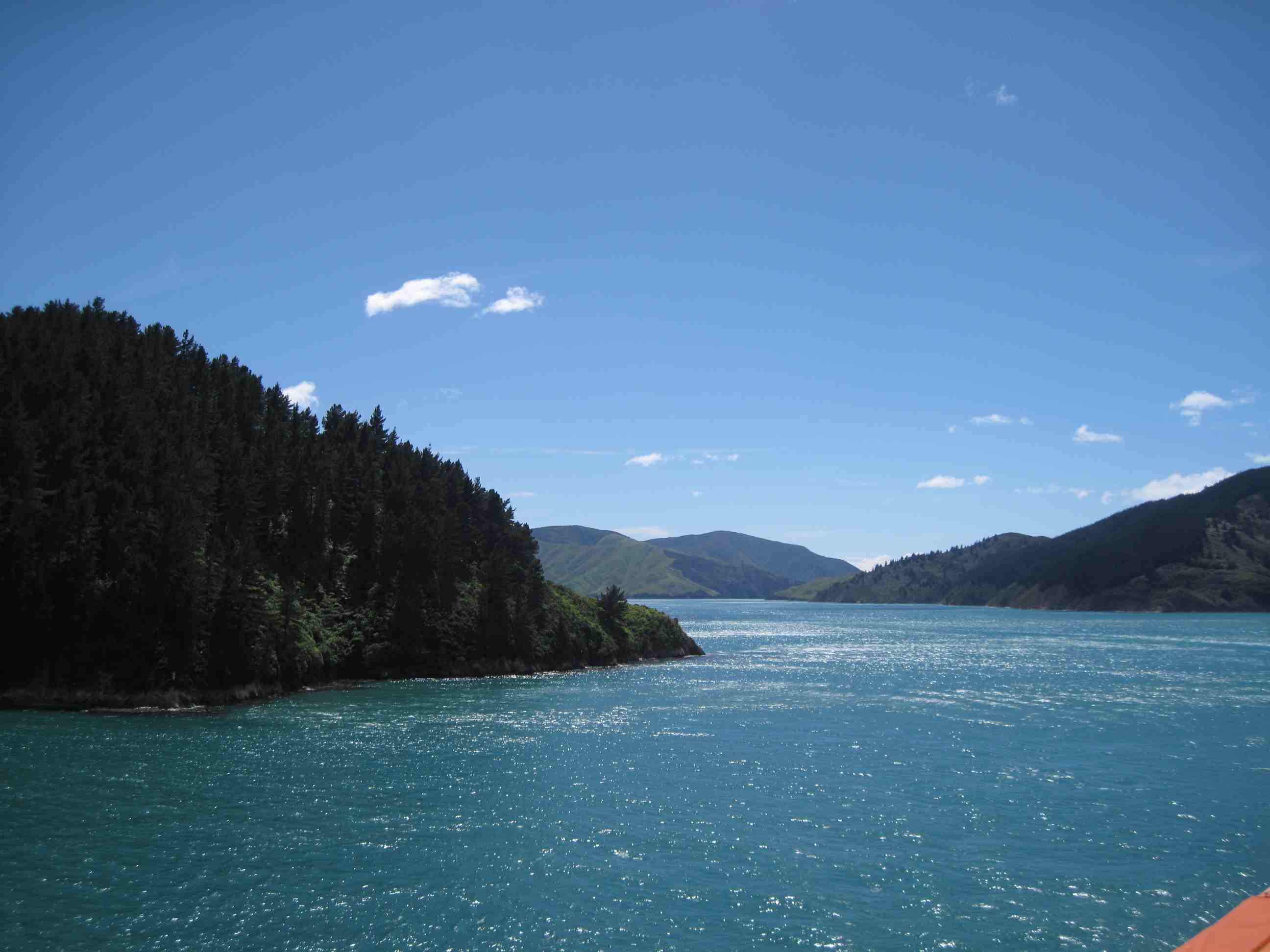
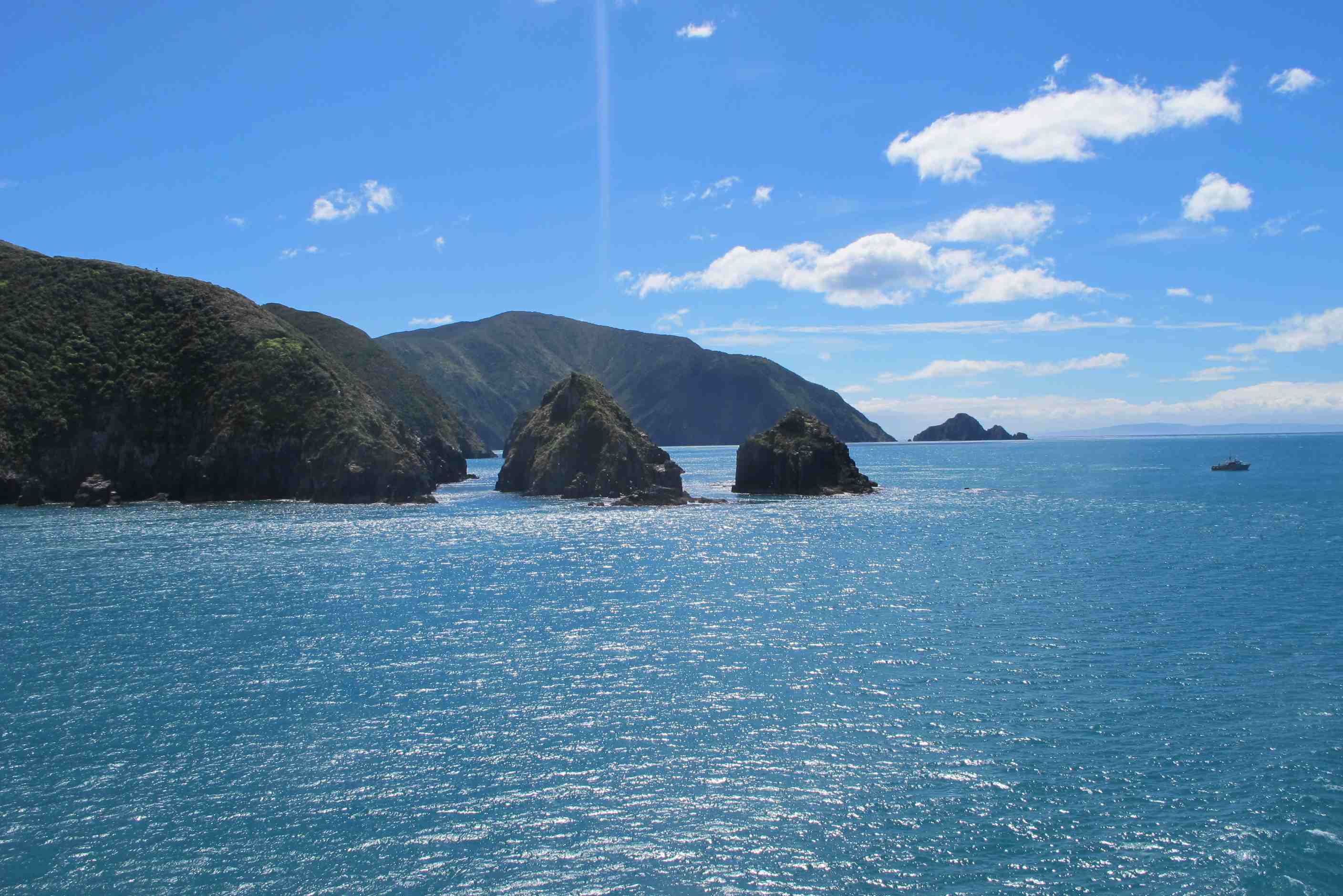
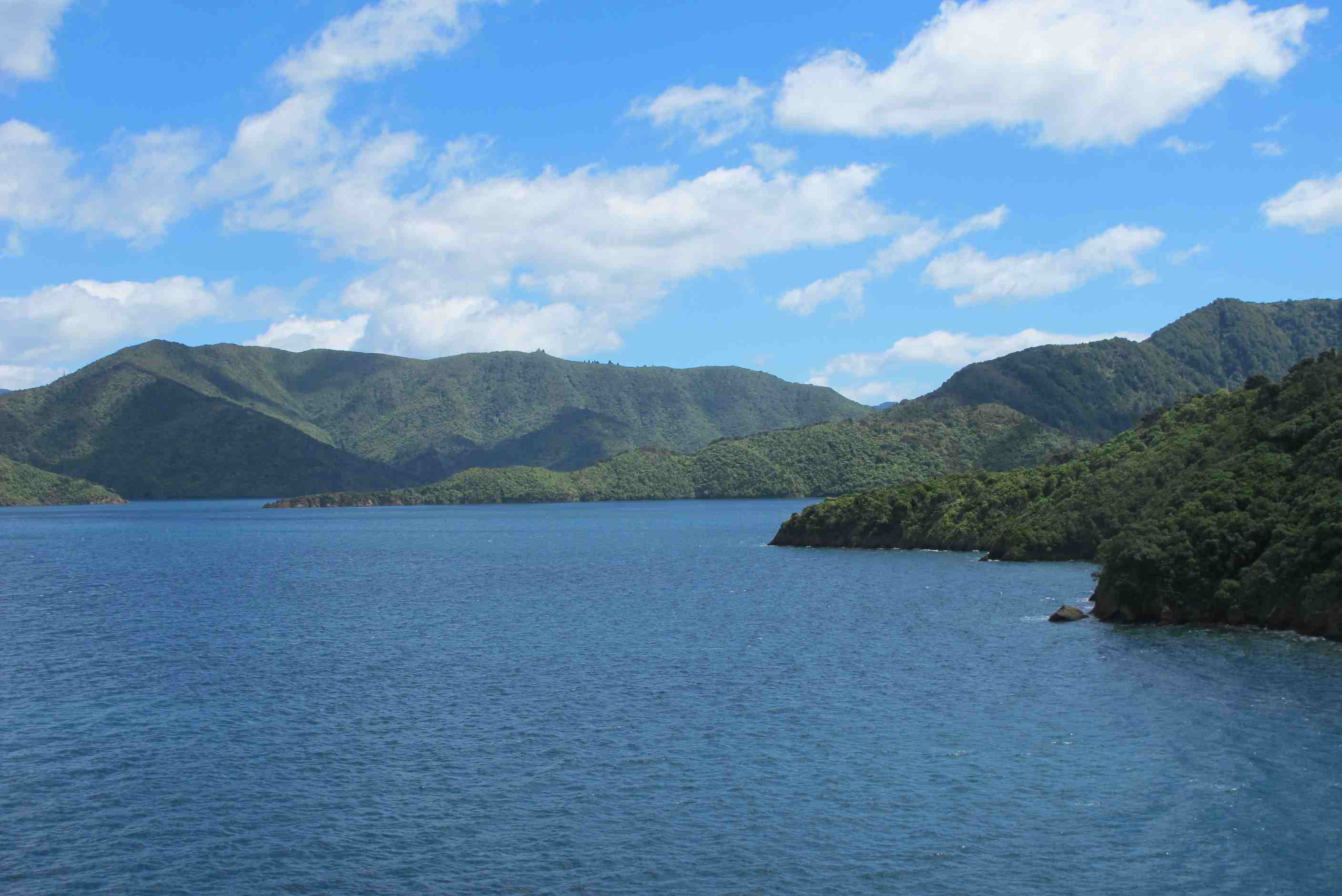
Well, what a night last night! Very little sleep as torrential rain and strong wind does not come close! It even woke Neil a few times. The van rocked so much on occasion, I thought it would blow over! Anyway, got up to a fab sunny morning, still windy. We set off in plenty time for the ferry, which was a good thing, as we managed to get in a wrong lane and ended up on the motorway! I started panicking as thought we could miss the boat! We then got back on track only to discover the wrong ferry had been put in the Tomtom satnav by you-know-who! Anyway finally made it, only so sit and be loaded nearly last But somehow we managed to be one of the first off! A big ferry, with plenty of places to sit and eat/drink. We chose to go on top deck. We got brought down once under way as was too windy in the straights. We went back up when we arrived at the other side and had a wonderful time sailing into the sound.
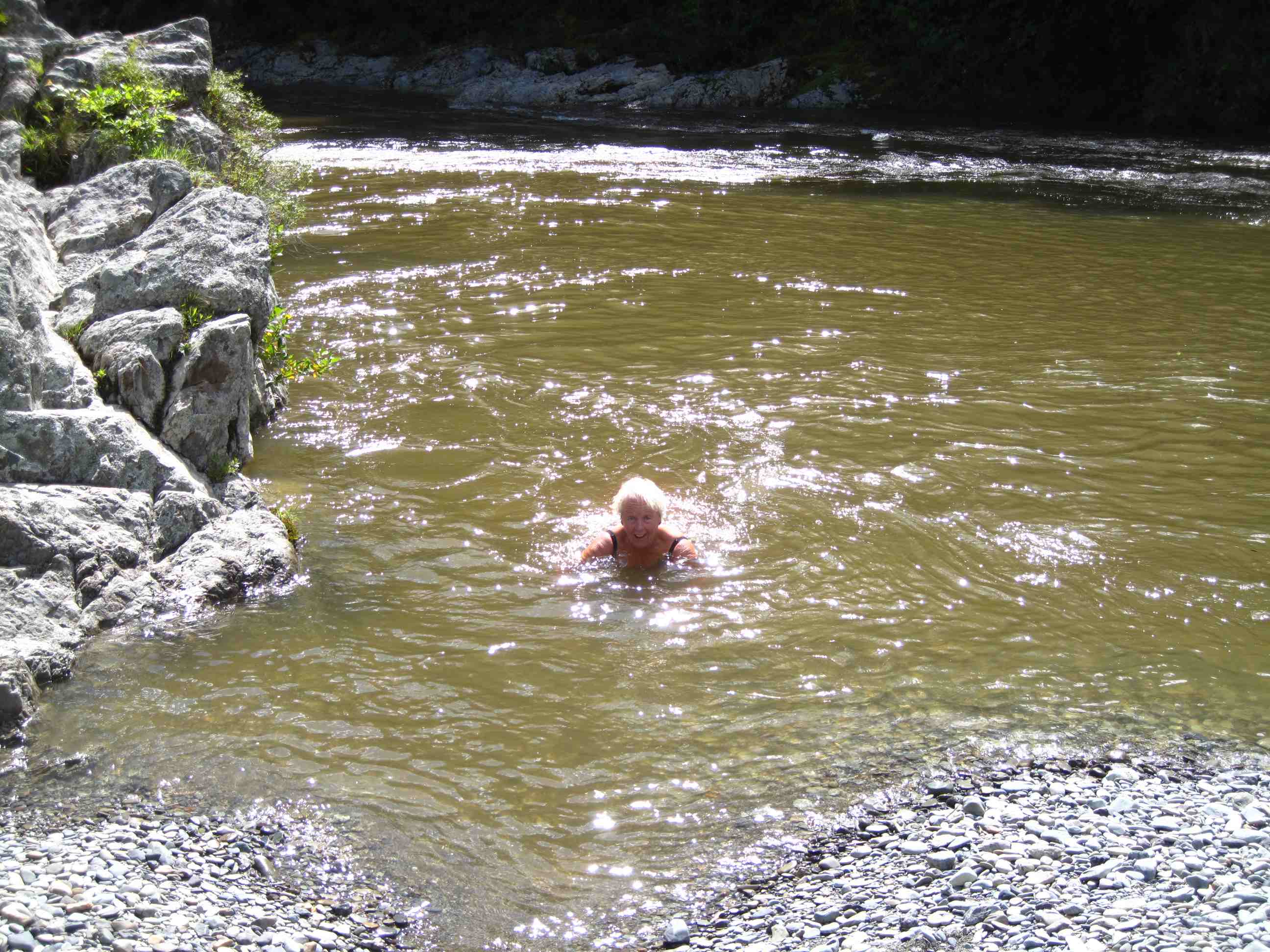
What scenery! Once off we headed for Nelson. Stopped en route at a lookout and had a 15 minute uphill walk to the most amazing views including snow capped mountains! Apparently the storm we had last night was here too and resulted in snowfall in the south! Hard to believe as once off the ferry, which was cold, we were in shorts and t shirts! We then drove onto Pelarus bridge walk. We had a lovely walk through some of the only virgin forest in NZ. The went down to the river and I went for a quick dip! It was crystal clear and chilly!! Lovely though. Neil declined to even get his toes wet!
Then we decided to drive to Motueka to spend the night. Drove through amazing scenery, so dramatic. Once at site, again we needed facilities, we were thrilled to find out they had a jacuzzi, so we had a lovely soak before dinner.
Got up well in time to make the ferry check-in at 8am. That is before Neil misread the satnav and sent us down a tunnel. Then the satnav tried to send us down a road that was blocked off for roadworks. Then Sue saw a sign saying "Cook Strait Ferry", but pointed it out too late, so Neil did a U-turn into a part of the docks, where a lady told us that was the wrong ferry (Bluebridge), InterIslander was further along. All this time Sue was getting more and more up-tight. When we got to the ferry (20 mins before final registration) The queue for the motorhomes was full so they sent us to a place apart from the others. Then Sue worried that we'd be forgotton. This became more obvious when latecomers were being loaded before us. Then, almost at the end a man came over to ask us to board. Then Sue worried that we'd be last to leave the boat and miss good travelling time. As it turned out we were amongst the first to disembark.
We spent most of the time on deck taking photos as we passed across the Cook Straits and into Queen Charlotte Sound. It was awesome!! The Journey flew by and in no time we were disembarking in Picton. I had to fill up on diesel and was in for a shock when I saw that diesel was about ¢40 per litre more expensive than on the North Island! Sue had been studying our books and suggested we first stop at Pelorus Bridge, where there are some nice walks, one over an 80 metre long swing bridge. The river is also reputed to be the warmest on the South Island, so Sue had to check it out by swimming in it. Neil took photos - it was COLD.
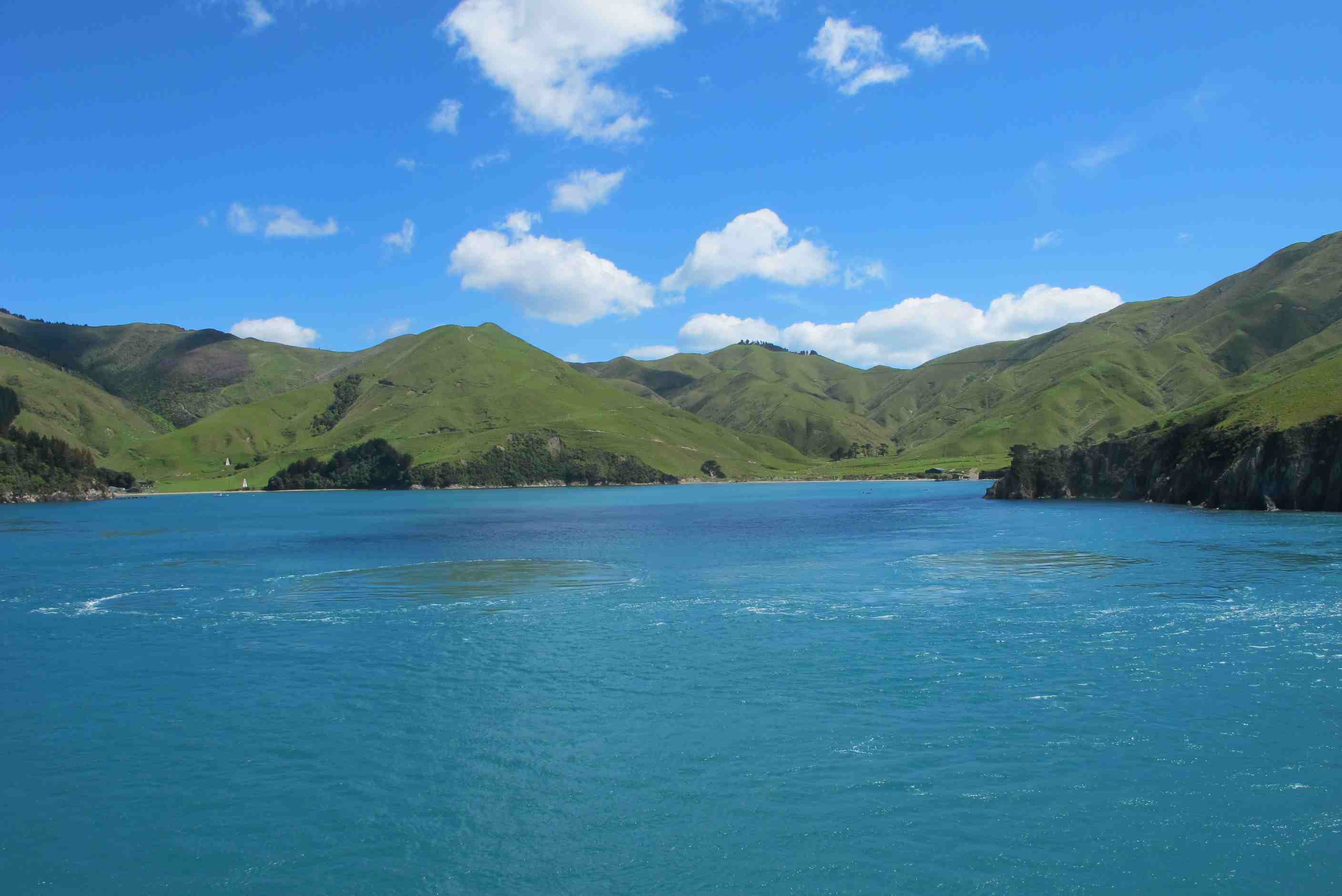
By now it was getting late in the afternoon, so we decided to go to the Top10 holiday resort in Motueka, via Nelson The scenery we passed by was spectacular. We picked up some lamb chops, sausages and ready cut chips and Neil BBQd these (except for the chips) for dinner, shortly after we both spent half an hour or so in the hot tub they have on-site for members.
night |
kms |
Overnight Stay at |
Cost/night |
Facilities |
Wow Factor |
Photos |
|---|---|---|---|---|---|---|
| 18 | 296 | Maruia Falls - Near waterfall (Freedom Camping) | 0 | 1 |
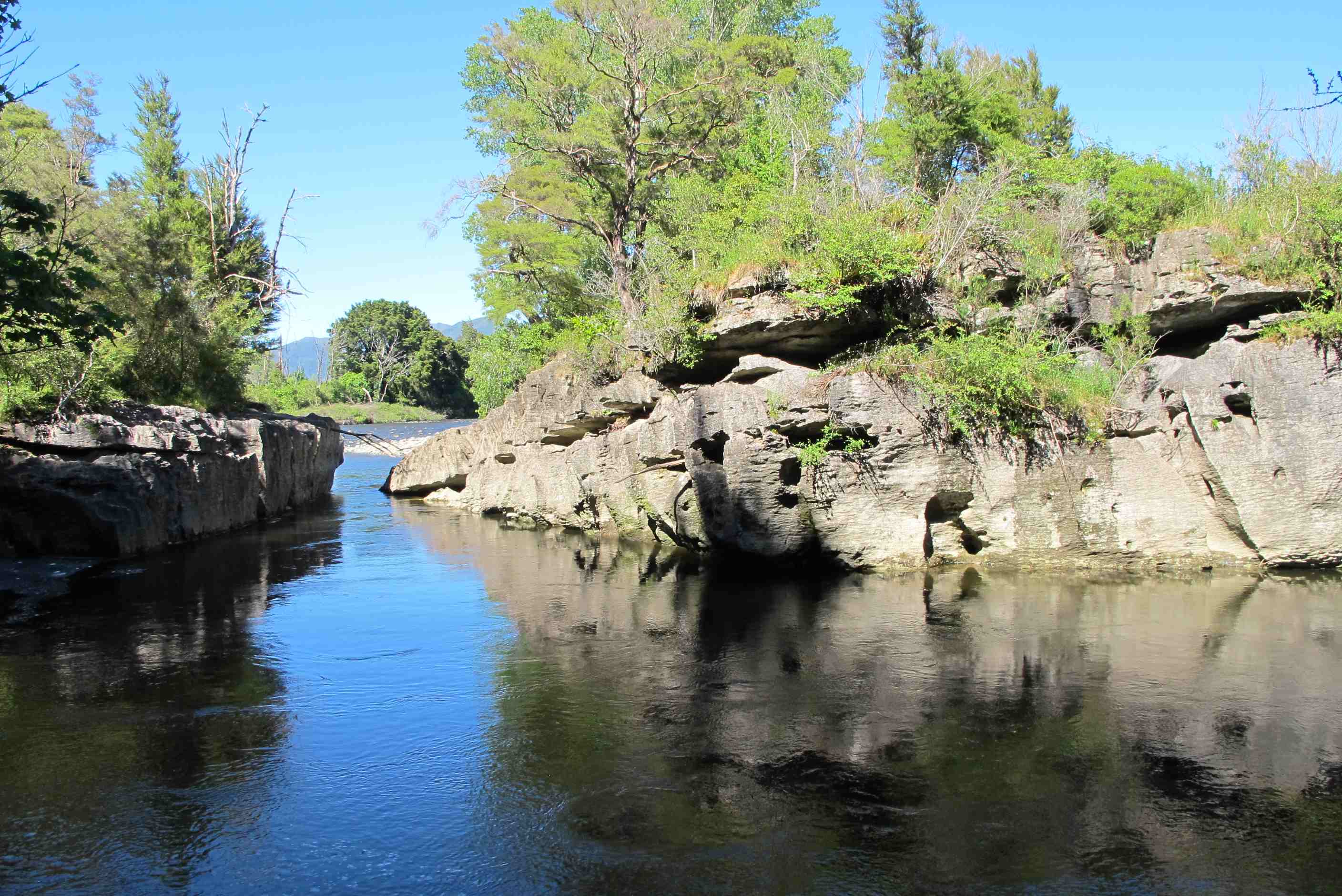
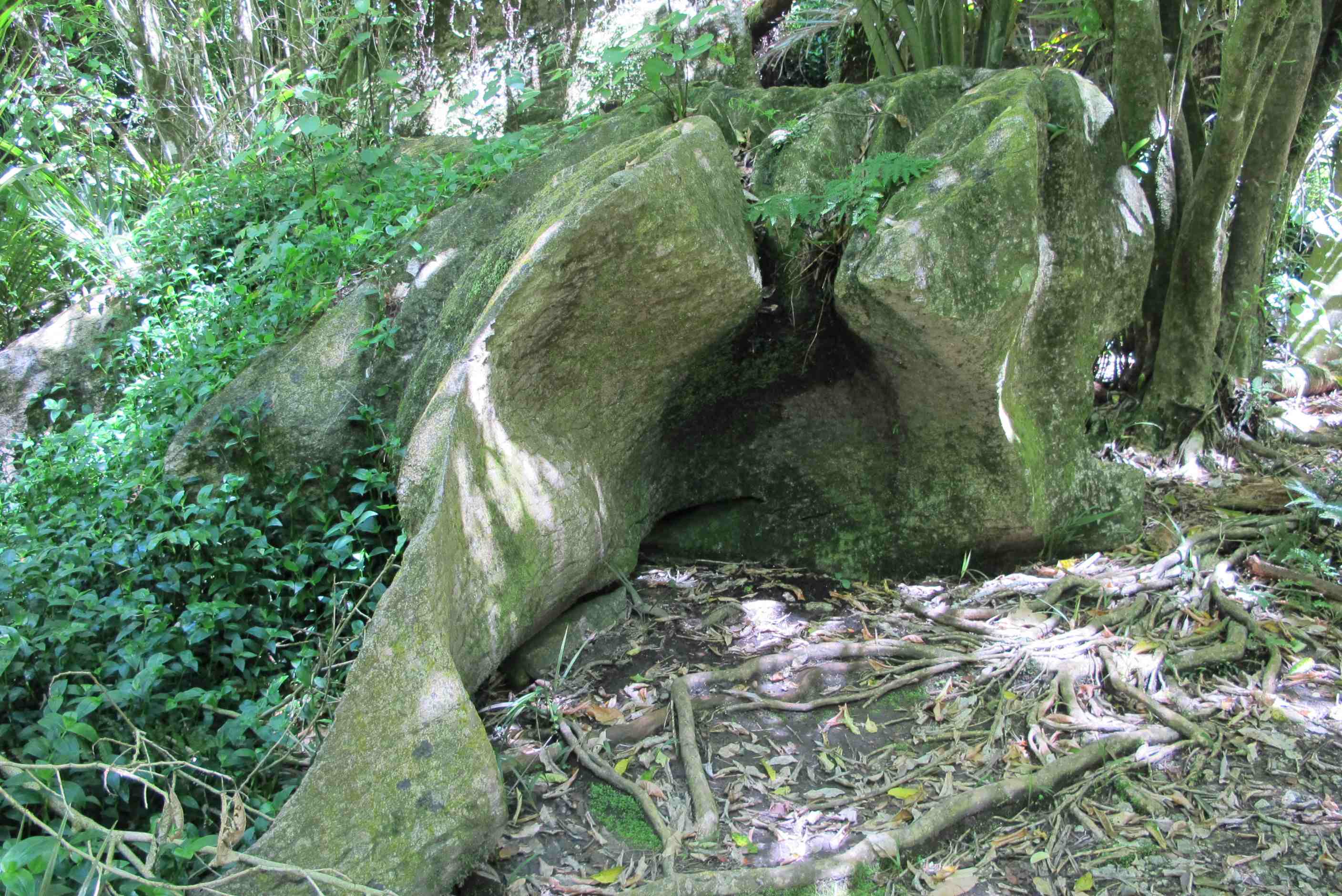
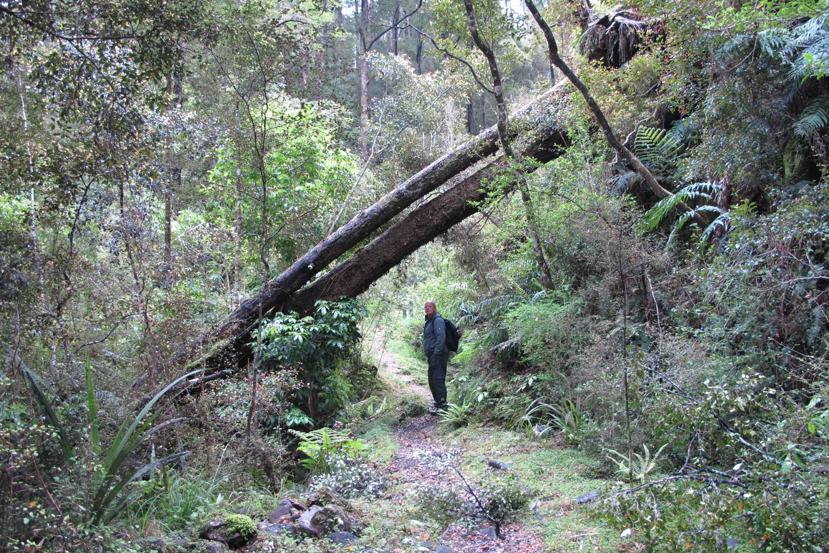
Left the site a bit late as time just seems to run away. Went to Paynes Pond for a look at some lovely limestone rocks in the river, really lovely. then carried on over Takaka Hill, what a climb and what a road. totally stunning. Then arrived at Wainui falls. A gorgeous walk through forest on an ever rising narrow pathway beside a charming mountain river. Over a swing bridge, they really are weird as they look solid but wobble madly as you walk, esecially if someone else is on it too! A bit like being very drunk and unable to walk properly, as if I know what that feels like!!! Then finally the falls! Wow, gorgeous, but they kicked up so much spray we had to put raincoats on!
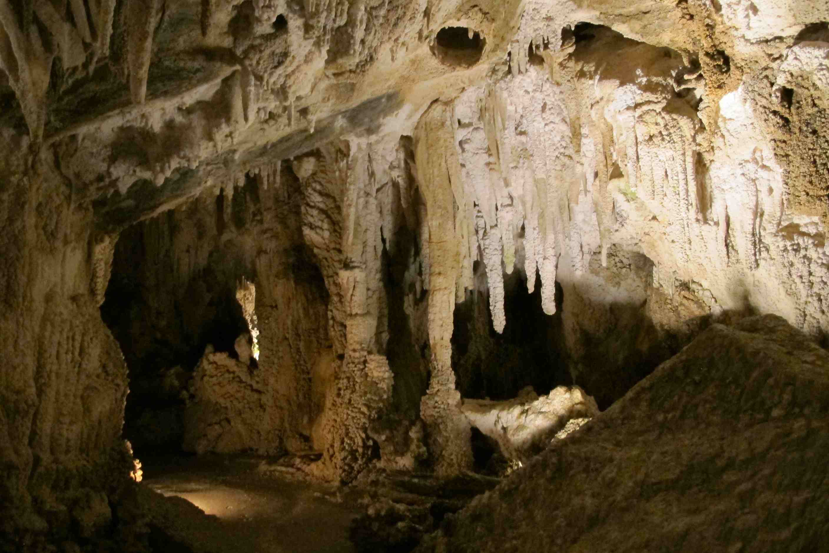
Back to the car for a short drive to The Grove, limestone boulders. Well again, wow! What shapes and sizes, some huge. Sometimes hard to see where rocks ended and trees began. so different and so great. Ended at a great lookout, through a narrow crevice, wow! Then a totally fabulous drive to an amazing cave. We took a guided tour, only way to go, which took about 45 minutes. The guide Leigh was so nice and very enthusiastic. It was just us and a young couple with a toddler on her back, very brave! She coped well and the child loved it! We loved it too, totally awe inspiring. Stalactites and mites, mineral deposits and remains of animals from long ago. All was so well done and we loved every minute. The lady in charge of the office was tending a 1½ week-old lamb that was born with arthritis, poor little mite.
Wanted to do more but needed to get on as a long drive due to the road closures after last year's earthquake. A pain but only way to get to Kaikoura and the dolphins. Found a place to stay near a new waterfall. It was only formed last year during the earthquake. It is quite impressive!
Faffed around a bit too much this morning. Tried to update the blog, but the quality of the Internet connection was abysmal, so left it after several tries. Then had to fillup with clean water and empty the grey-water (the poo-cassette was emptied last night). Eventually got away an hour later than planned. Fed the coordinates of the first stop into the satnav and started out in the opposite direction. This wasn't a mistake, we needed to call into Motueka town itself for provisions.
Finally on the road again, over Takaka Hill, but when it warns you of very windey bends (some hairpin) for the next 25 km you know it is more than what we in Cyprus would call a "Hill". We arrived at Paynes Ford limestone park. This is mainly used by serious rock climbers - we met a couple when we were there and were impressed that Neil had absailed down the sheer cliff face of Devil's Leap. Sue kept quiet while the guys tried to figure how a near-70 year-old had managed to do that without any proper climbing equipment in flip-flops. There is a pool there, but much too cold, even for Sue.
Next stop was Wainui Falls. These 20 metre high falls were gushing and spray was going everywhere. To get to the falls you had to negotiate a small ford and a swingbridge. It is a lovely walk and just before the falls is a small ribbon of water that falls in a series of steps from the same height. These falls really are magical and the walk alone is great.
After the falls we went to The Grove Boulder Park. This is amazing. The boulders are huge and of such interesting shapes, many with trees growing on them. There is a huge cleft in a cliff face and sqeezing through it you are rewarded with a fantastic view out over the Tasman Sea. The walk is a loop, so you don't have to double back on yourself - the type of walk we love.
On the way over the Hill, that we had to negotiate on the way back we noticed a cave, accessible via a guided tour. Nguaru Cave was discovered in 1876 and opened to the public in 1970. Leigh, our guide, was very knowledgeable and answered our questions. The cave was brilliant and besides stalactites and stalgmites there were also bones (some fossilised) of animals that had fallen into the cave and died there, including a Kiwi and a Moa (a huge flightless bird, larger than an ostritch, now extinct). In one large area of the cave Leigh demonstrated the acoustics by giving a haunting rendition of "Haleluja" in the Maori language.
Finally, decided to go hell for leather to get closer to Kaikoura for tomorrow and freedom camp at Maruia Falls. Unfortunately the track down to the falls from the main road was in a pretty rough state with lots of mud and overhanging branches so we decided not to risk it. Instead we found a grassey area just past where a JCB was parked next to a large mound of gravel. Another English couple in a Wilderness motorhome were already there, but he shifted his vehicle over so we could both share the spot. Not the best of locations - in fact the worst one we have encountered so far. Let's hope it's the last.
night |
kms |
Overnight Stay at |
Cost/night |
Facilities |
Wow Factor |
Photos |
|---|---|---|---|---|---|---|
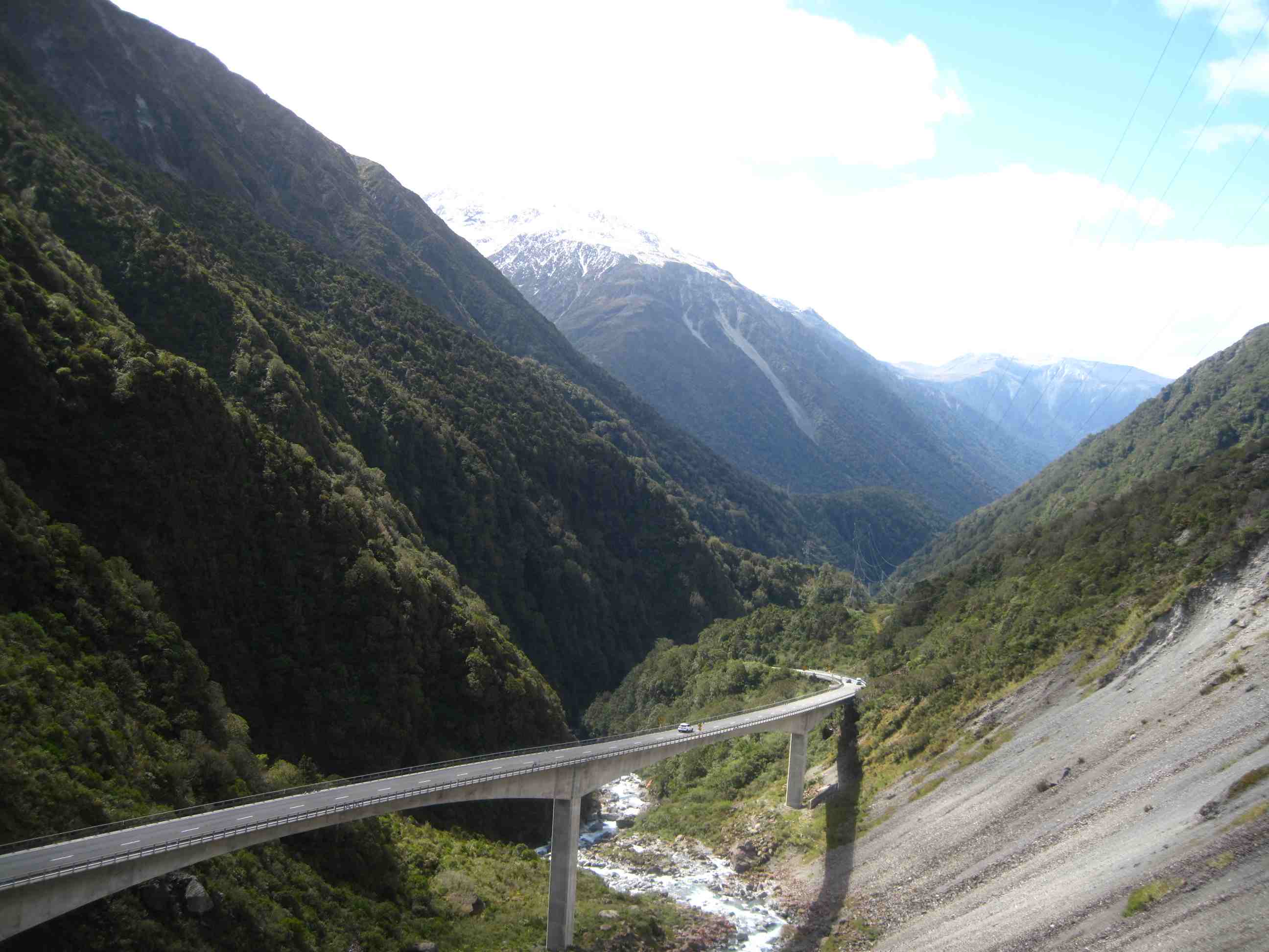
| 19 | 300 | Arthur's Pass - Mountains on Left, River on the Right (Freedom Camping) | 0 | 5 |
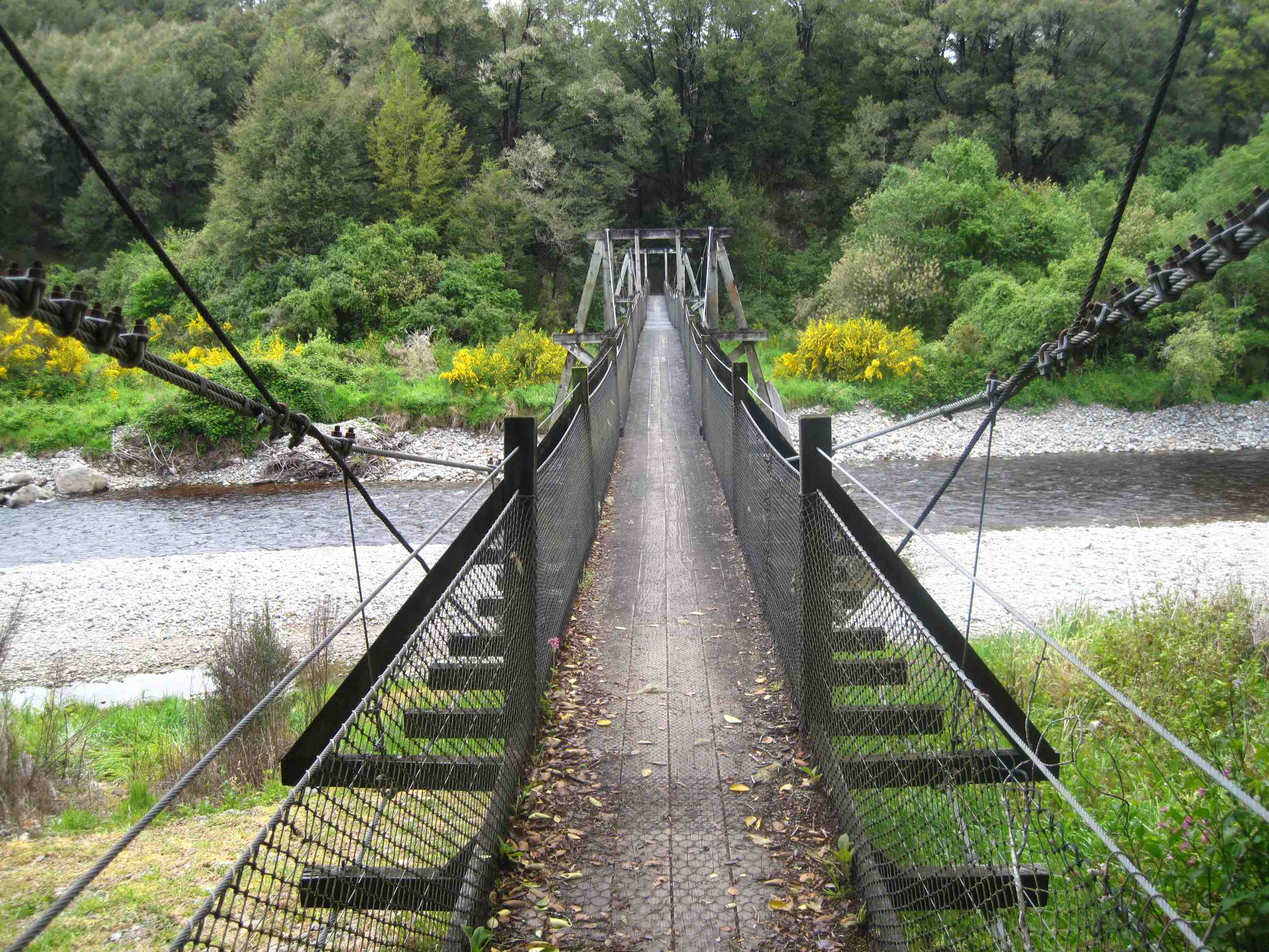
Set out early and headed for Kaikoura, then decided because of detours with earthquake road closures, it was possibly a long way to go, through slightly less interesting scenery and fighting with lorries on small roads. So sadly made the decision to miss it out. We therefore headed for Greymouth and Arthur's pass. We stopped at Nelson's creek for a lovely, if somewhat scrambly walk, through forest and by a river. Very nice and a good way to start the day. Then on to Brunner industrial park, relics from a very long time ago. Neil loved it, I enjoyed it especially the amazing bridge construction.
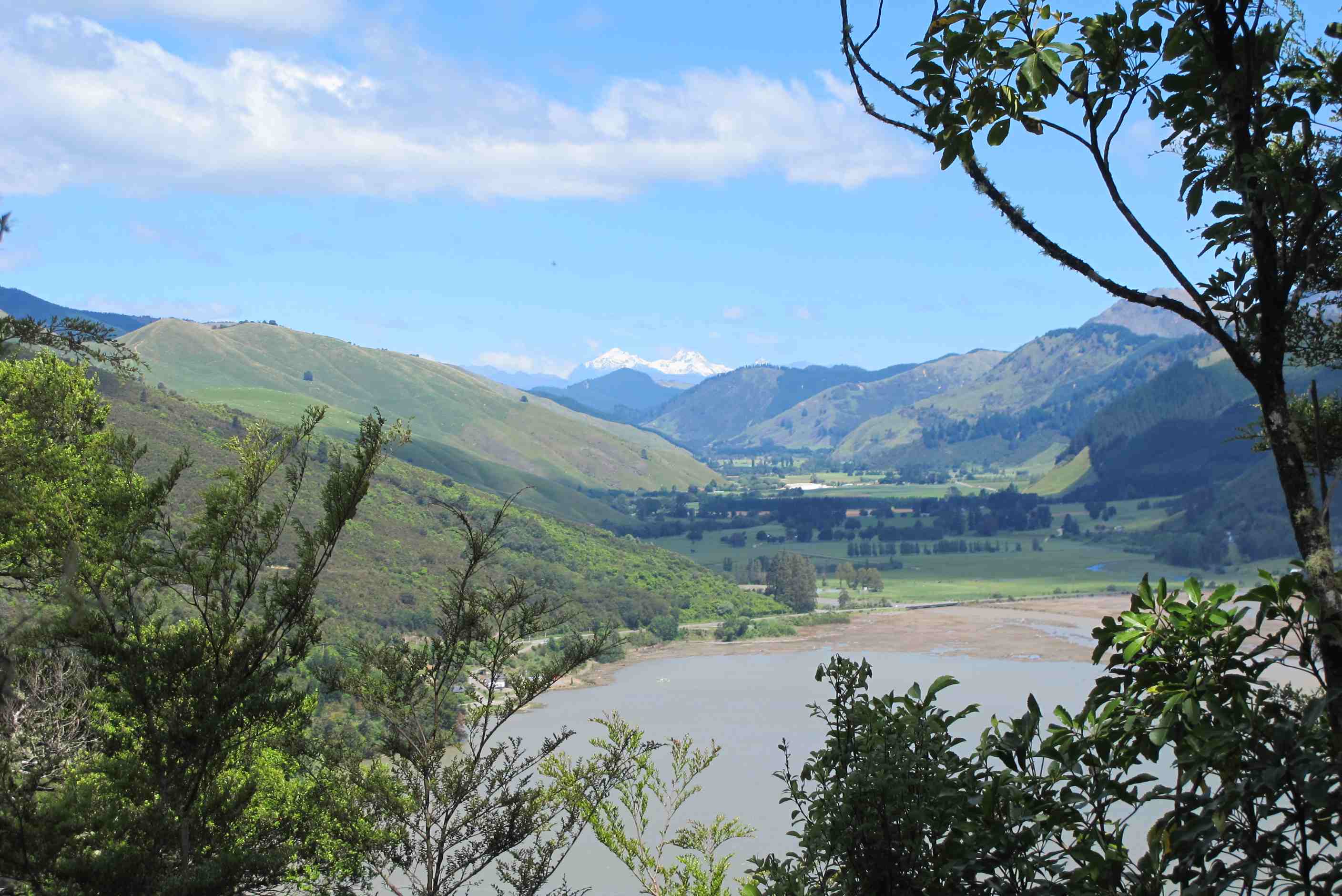
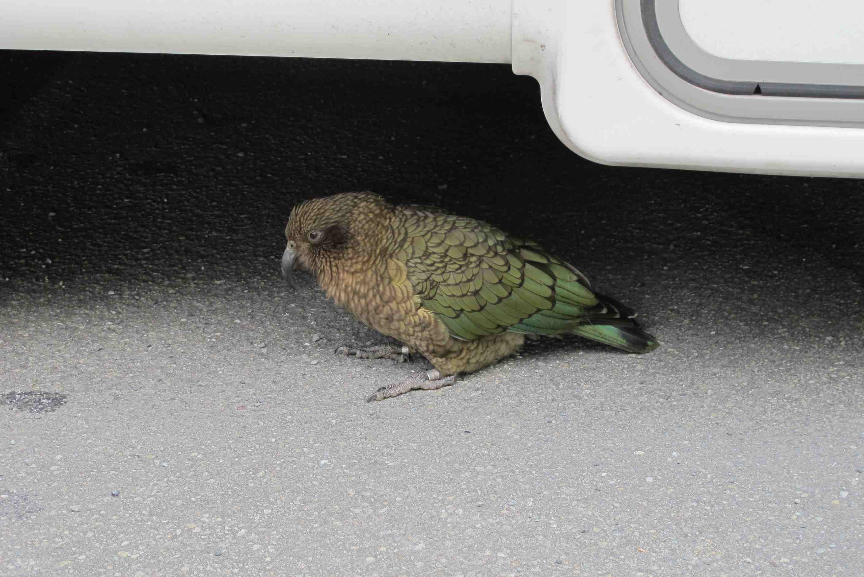
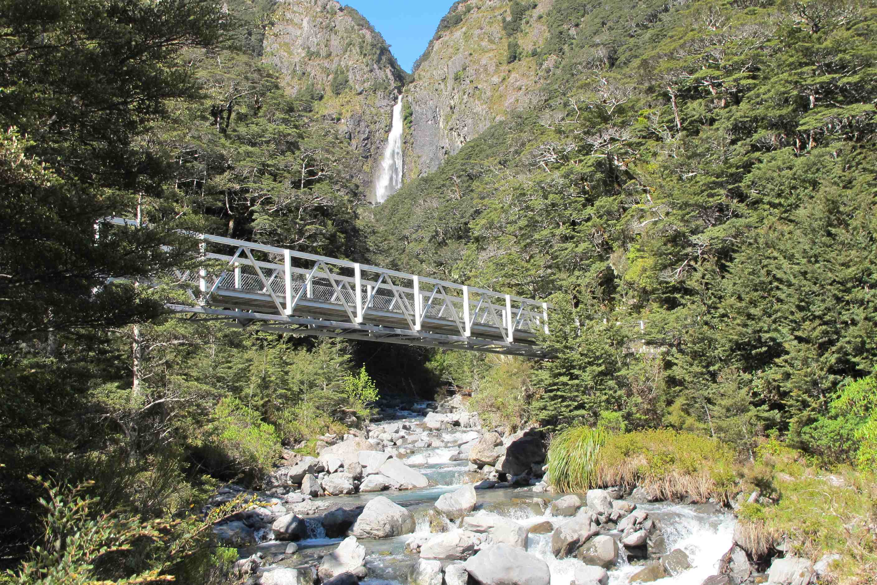
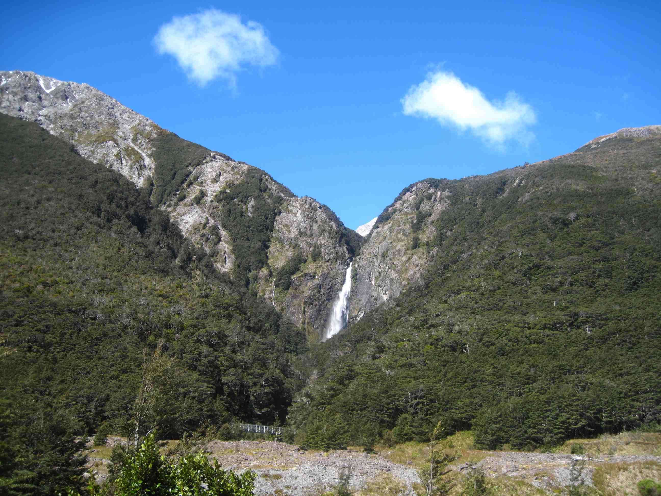
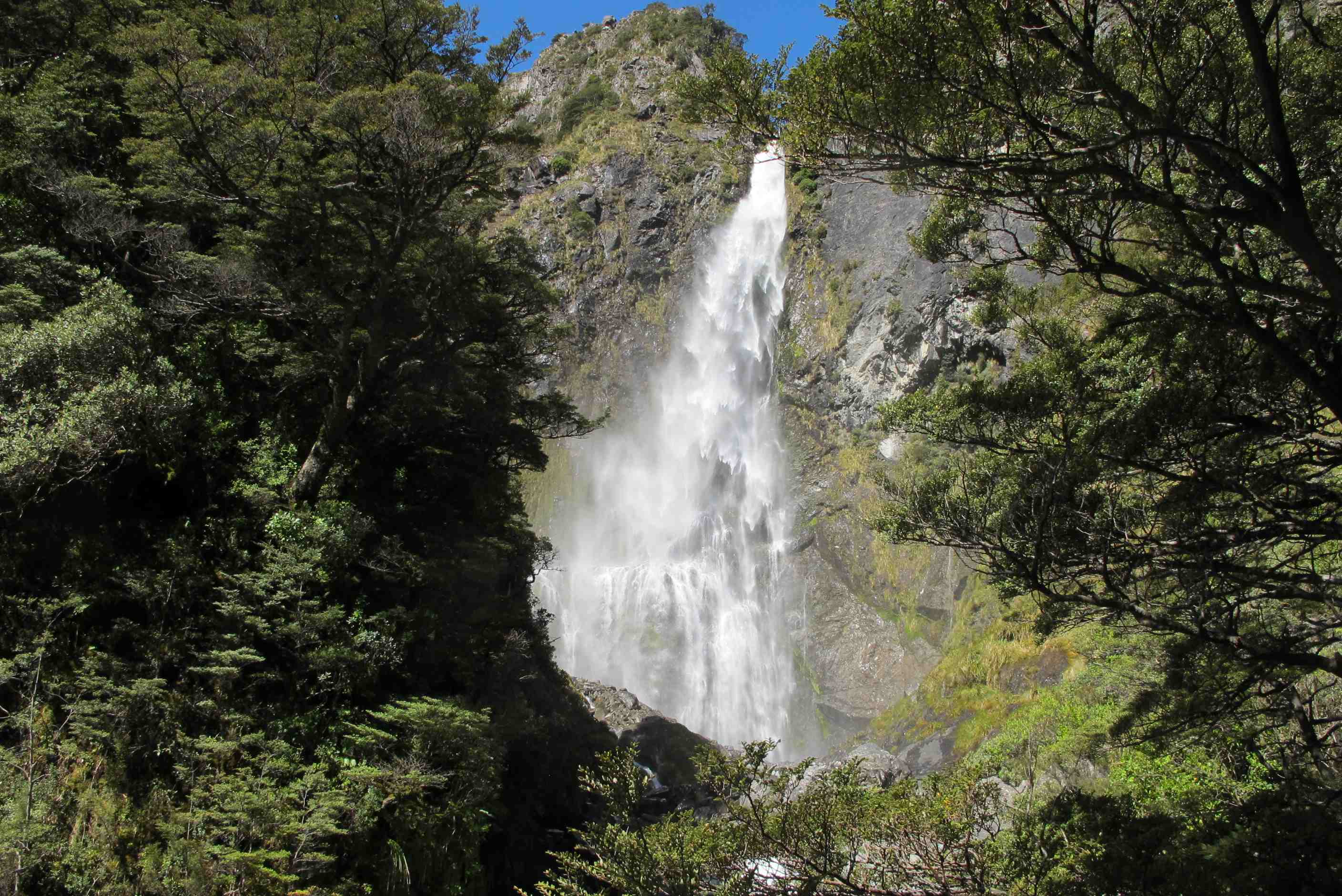
We then travelled on towards Arthur's pass. Lovely scenery and over a rickety, rackerty bridge, where, thankfully, the trolls were absent! Then suddenly as we climbed we had views of snow capped mountains, a blue mountain river and scenes to die for. Wow, Wow, Wow! Waterfalls down every side, did not know where to look next. Stopped for a couple of scenic views and met a few Keas. A sort of rare parrot from this area. Only 5000 left in the world. So cute! Saw some people feeding them and warned them that human food is actually poisonous to the birds. Stopped at Devils punchbowl for the waterfall. Wow again. We climbed 350 steps and pathways too, to an incredible sight, snowy mountains one side and a crashing waterfall the other and a mountain river below! Then had the 350 back down again! Quite a work out but well worth it. Must admit my legs were aquiver after that!
Then a little further to the best camp place ever. All on our own, surrounded by fab mountain river, grasses and flowers and snow capped mountains, so cool!! A few asides which made us smile - When somewhere had manure for sale, it is signed as Horse Poo. There was a road named Shaggery Lane, schoolboy humour, but fun! Also, we were overtaken by a car transporter lorry with only half a load, going so fast it was nearly out of control. We passed it a few miles on as it had been stopped by the police, Ha, justice! Finally, we thought we were back in Cyprus, when a car overtook us then tried to overtake the lorry in front, OK you say but he was only meters away from a single track bridge and had to slam the anchors on!! Anyway, bed time, tired out and ready for another adventure tomorrow.
Woke early (nothing new there then) and decided an executive decision had to be made. Looking at our jouney, now that Belnheim to Kaikoura was not an option it would mean a lot of doubling back on not-too-interesting roads. The consensus was to phone the "Dolphin Encounter" people to cancel our booking. We pulled into a petrol station at Springs Junction, filled up on diesel ($100) and phoned. They were very good about it and cancelled our booking without a quibble. So we went through Reefton and on towards Greymouth. Before arriving in Greymouth we took the scenic route to Arthur's Pass skirting Lake Brunner.
We visited the Nelson's Creek Reserve, an old gold mining town. Well in fact they didn't mine the gold, they panned (or fossicked, as they called it) for gold. There were some very interesting (and impressive) man-made tailrace canyons to channel water. From there we moved on to the Brunner coal mine, brick and coke works. This is an impressive area, with an easy 1 hour self-guided tour. In 1896 there was a terrible explosion and everone underground, 65 men and boys, as well as horses, was killed. About an hour and a half before the horses were due to go underground they were panicky and refused to go. Eventually the miners blindfolded them and led them in backwards. The horses, but not the men, had obviously smelt the fire-damp gasses that eventually caused the explosion. There is a memorial there for this disaster and also for others at different mines in New Zealand.
Then we visited the Devil's Punchbowl falls. There are a lot of steps here, but if you take it slow it's not too bad. After we had climbed up a couple of dozen Neil met a lady who told him there were 380 to go. "380!" Neil exclaimed, "No" she replied "I said 318". "Oh that's all right then" Neil commented dryly. Actually there are just a couple shy of 350 steps. Is it wourth climbing them then climbing them back down again? YOU BET!! The falls are absolutely stunning and looking in the opposite direction from the falls you see the snow-covered mountains on the other side of the road.
Finally we hunted through the "Wildernessts" camping site guide provided by the hire company. We settled on site SB14, which is a stunning site with the river on one side and snow-capped mountains all around - heaven.
night |
kms |
Overnight Stay at |
Cost/night |
Facilities |
Wow Factor |
Photos |
|---|---|---|---|---|---|---|
| 20 | 187 | TOP10 Akaroa - overlooking the town and bay. | $40 | 3 | 4 |
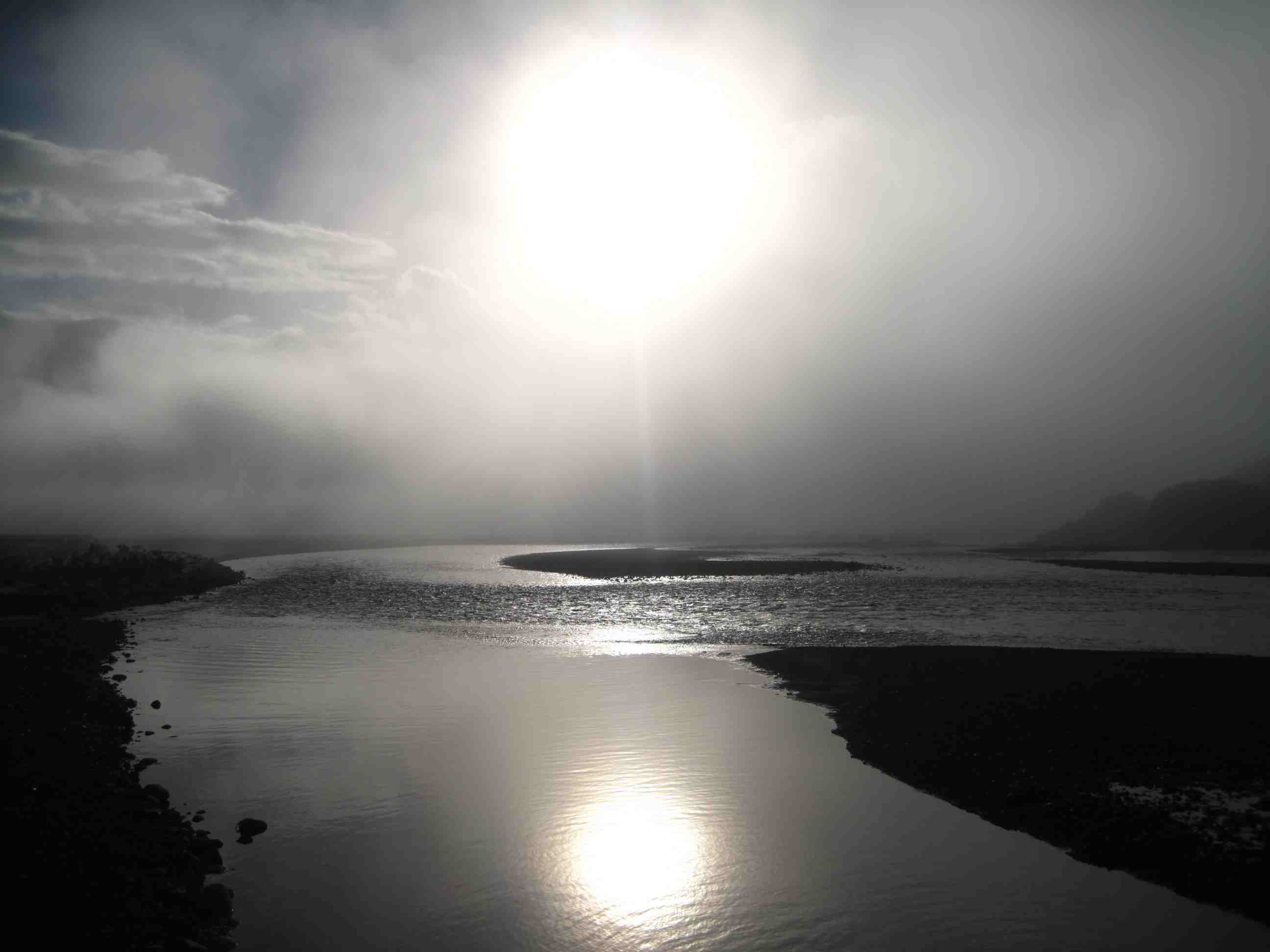
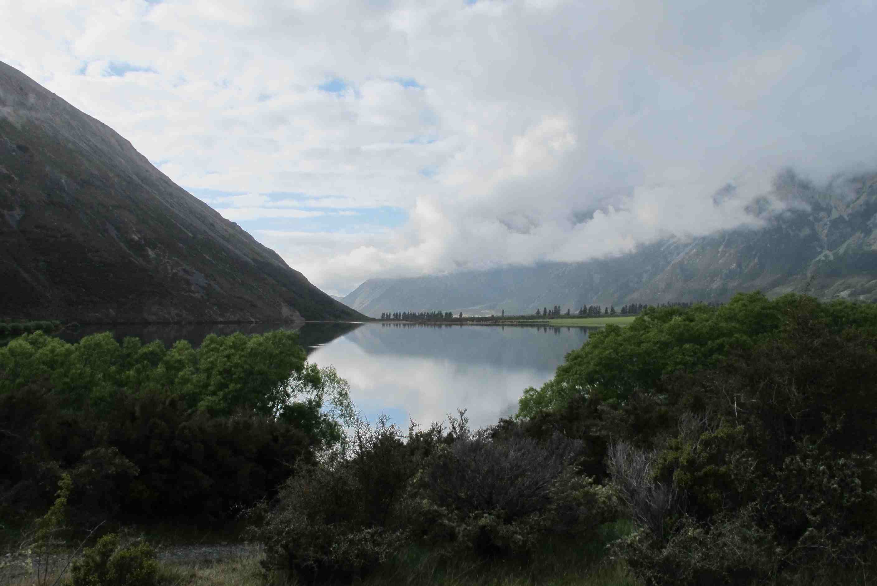
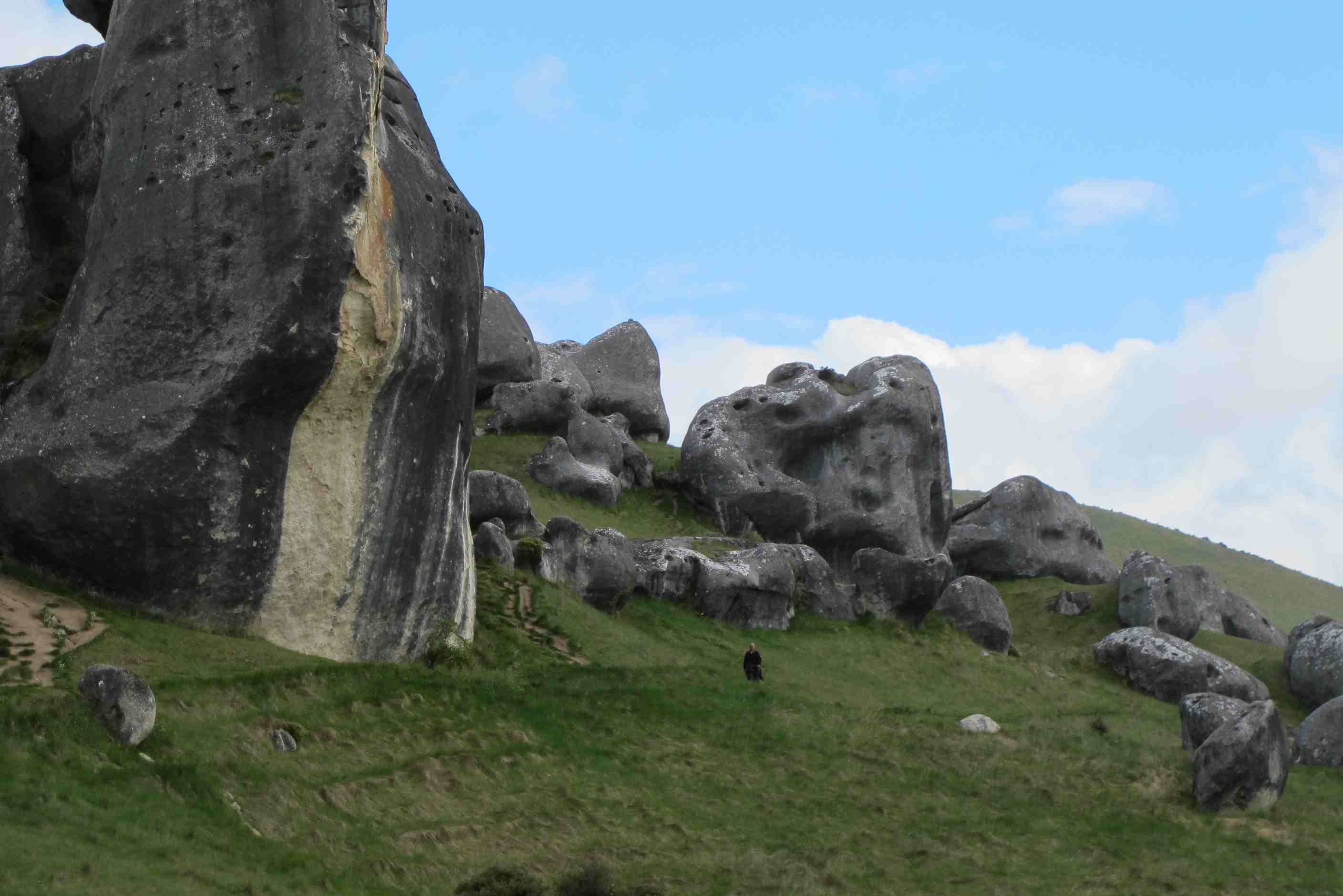
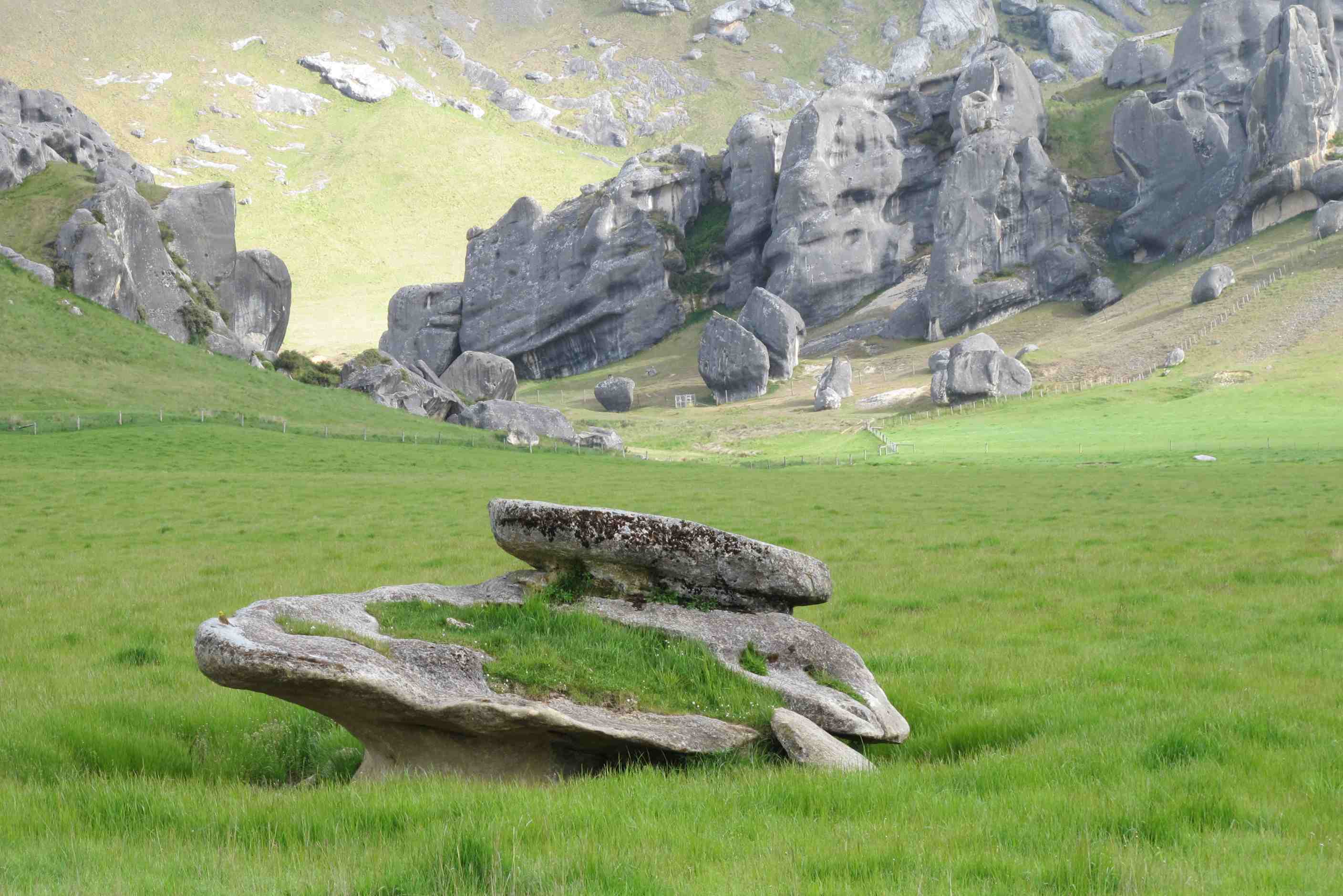
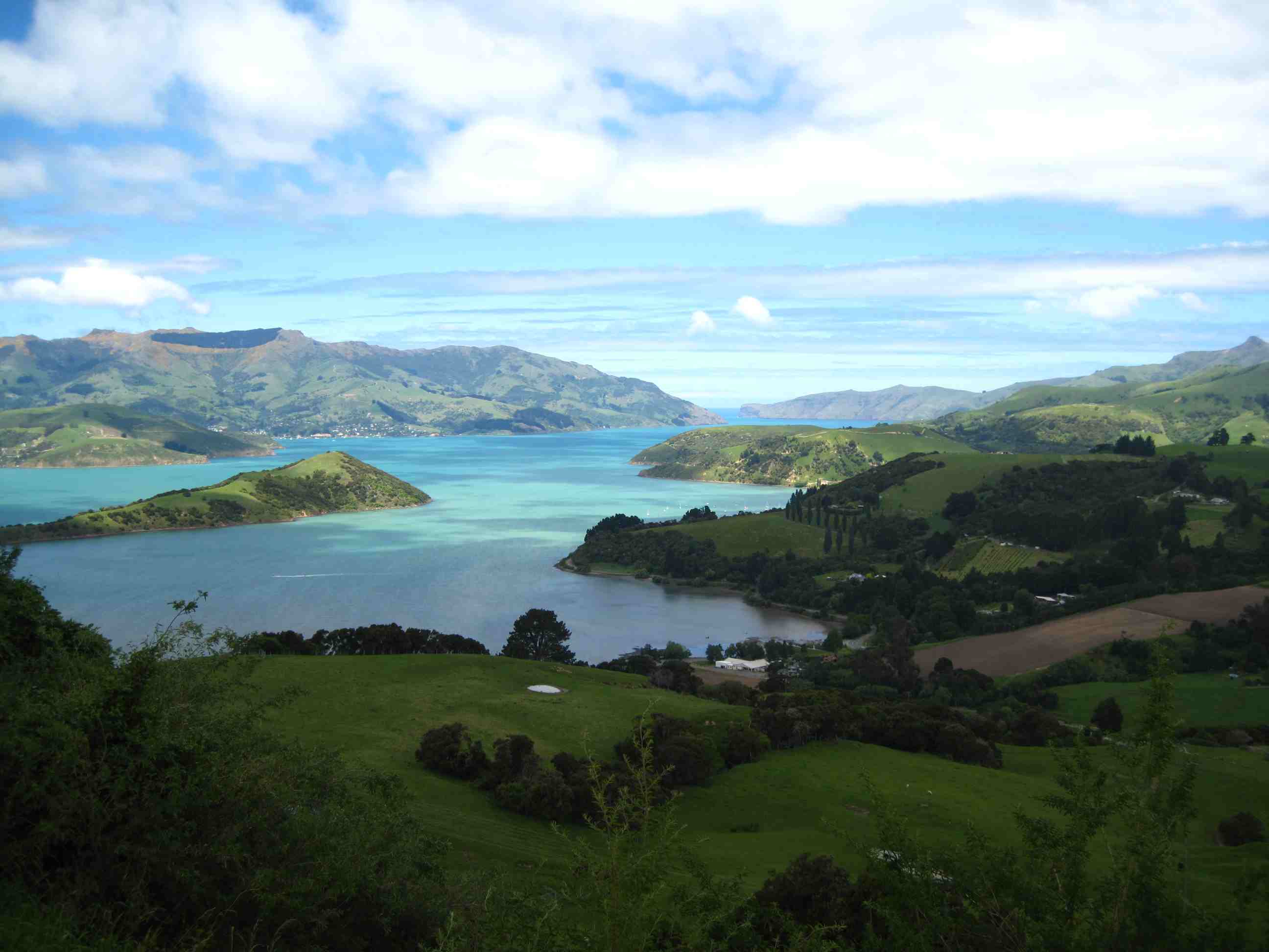
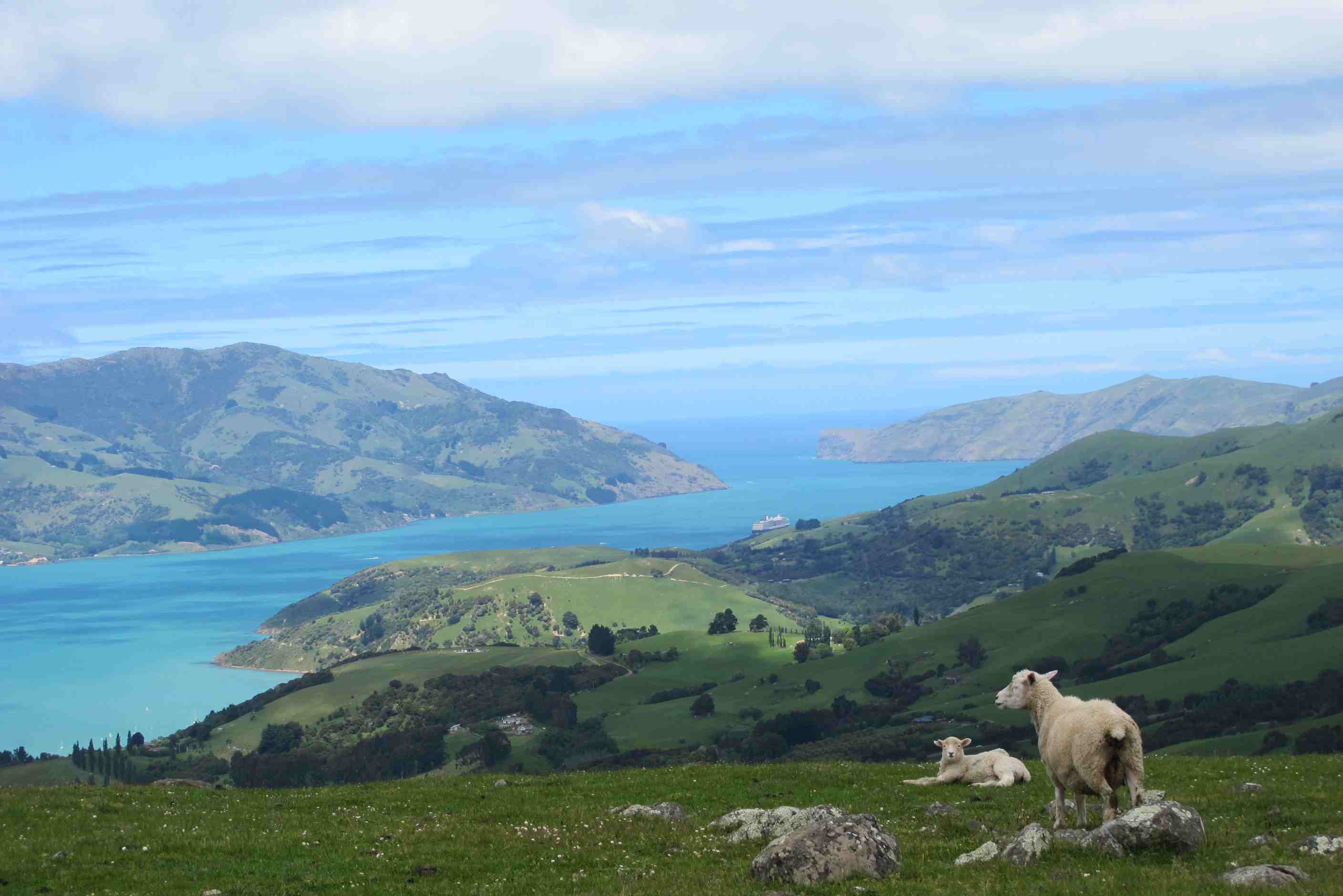
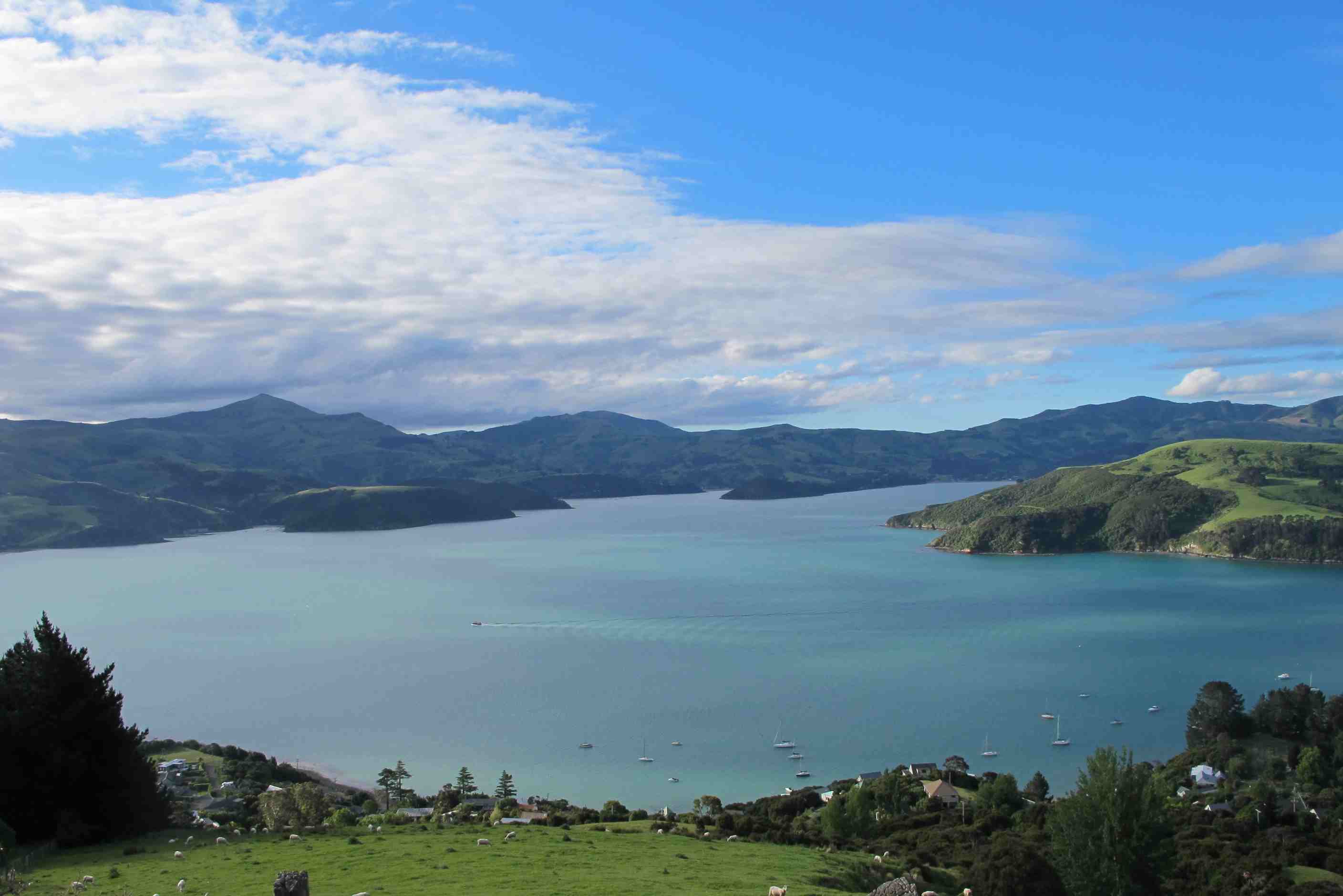
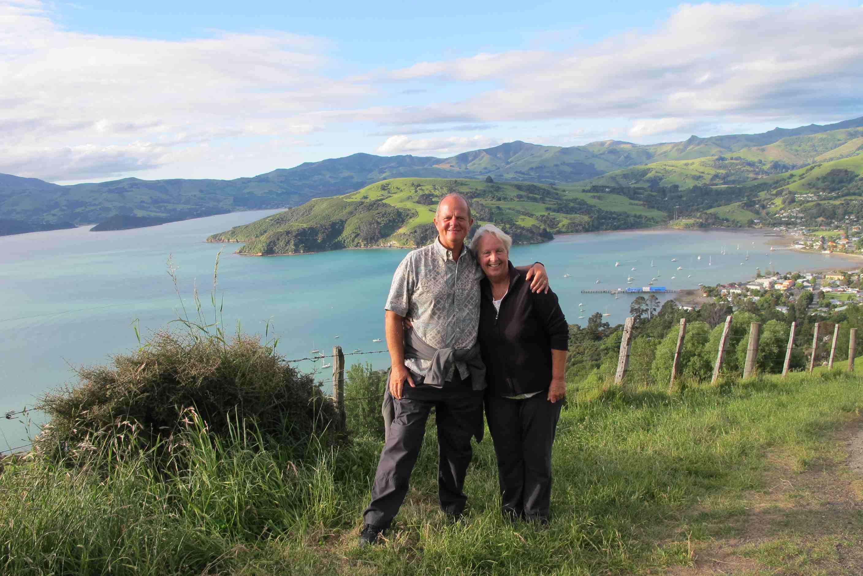
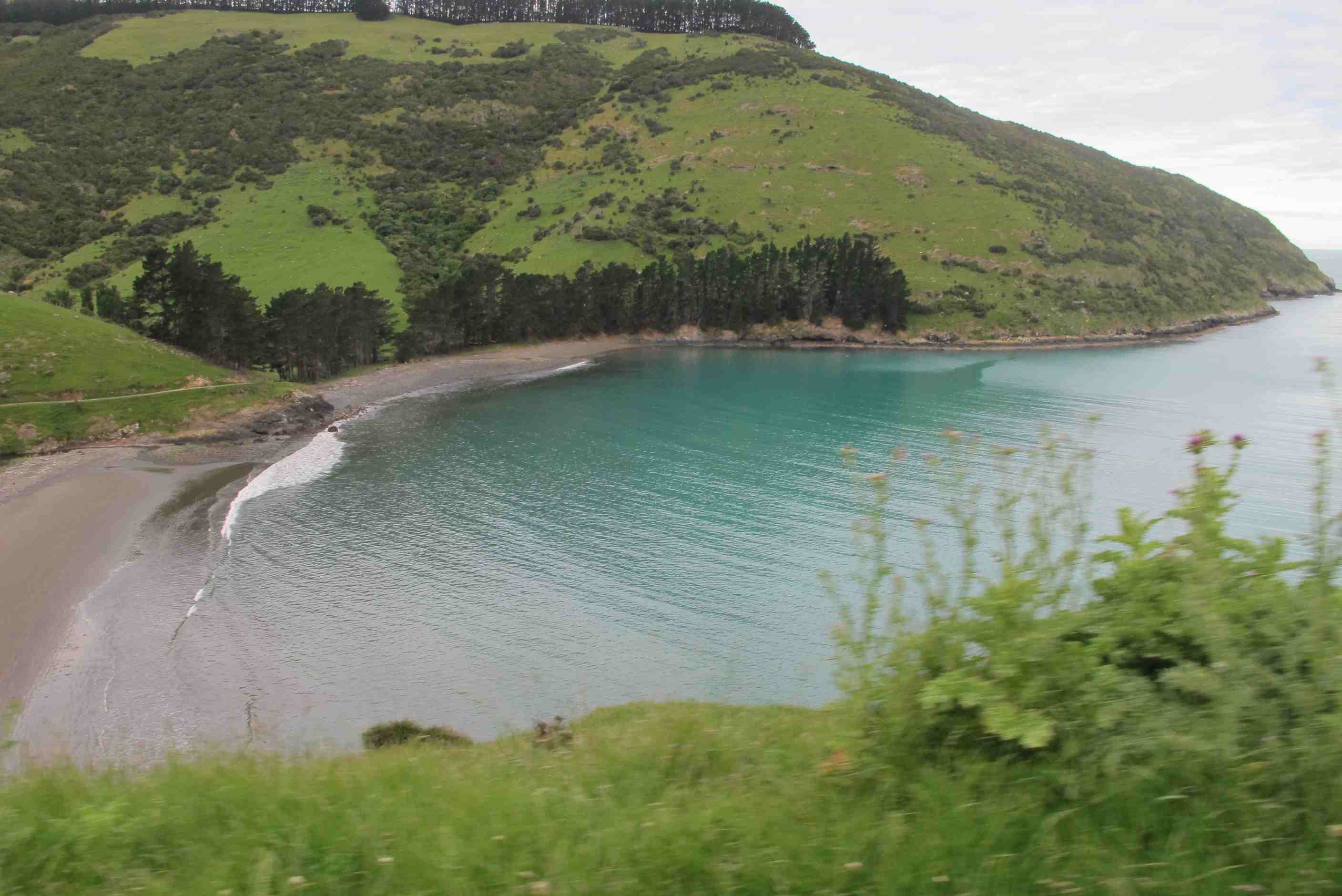
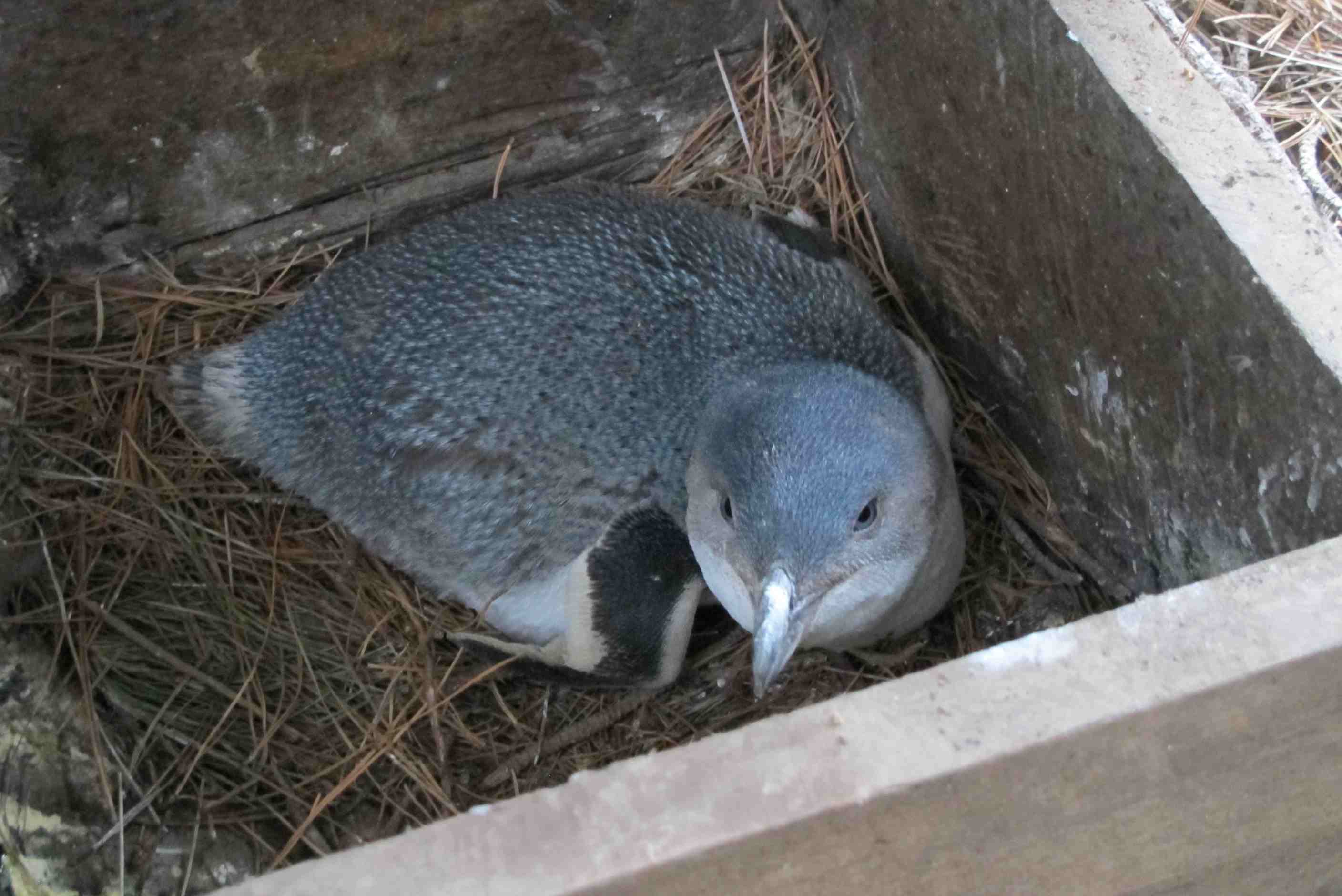
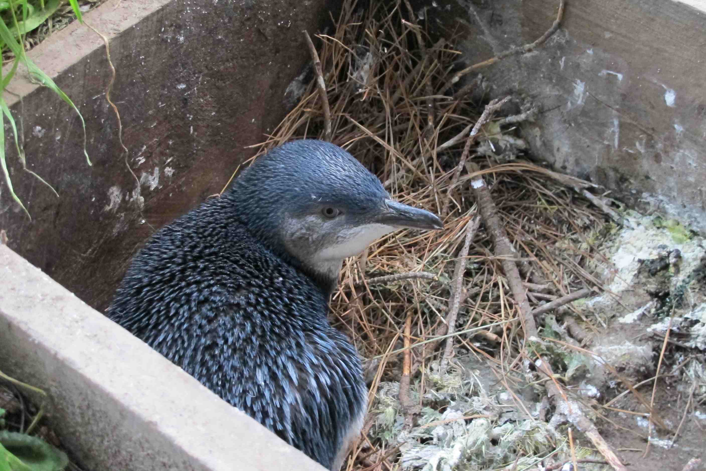
Woke up in night for a comfort break and looked out to see the stars. Wow, so many, so amazing and so different. Lovely! Drove off with low cloud around, which quickly started to lift. Amazing views again. We arrived at Castle Hill nice and early and had it to ourselves. What a place. Open ground and hills covered in huge, amazing limestone boulders. Sounds boring but to wander round, up and down all the boulders and paths in any way you wished was so cool! Peace quiet, fab views and interesting rocks was special! We could have spent all day but only covered a fraction of the area.
We then had quite a long drive to reach Akaroa. A beautiful place near Christchurch. We stopped at a lovely little village on the way and had a delicious snack and cup of tea at The Little River cafe. If ever you are here,well worth a visit! We went into a gallery, the art was amazing. We bought a calendar for the fab pictures, much more affordable and easier to bring home! Onward and When we crested the hill, well wow, wow, wow, what a sight! The bay was stunning, you would not believe the water colour. Found a site and booked in, views over the bay, gorgeous! We have booked a trip to see the Penguins this evening, I can't wait!
Did a couple chores, then off to the village for a mooch, a bite to eat and the penguin encounter. Had some fab fish and chips before our trip, really yum, lemon fish freshly caught today and the best chips ever! Back now after a great trip. Our guide was the daughter of the family who run a farm and the penguin conservation program. Obviously she knew everything! We had a great time, lovely drive over the hill and down a 4WD track to their farm. Met sheep and their lambs and some inquisitive cows! Then went to check nesting boxes and saw babies and full grown blue penguins, little ones but so cute! Then went to watch them on the water and then some swim in to shore, fabulous. We watched seals and other bird life too including a Black Petrel. A really great trip with lots of historical notes thrown in. Dolphin swim tomorrow, weather permitting, so off to bed with fingers crossed!
P.S. Neil said I had to mention that I fell in a flower bed today. Waiting for the trip to start, I sat on a small wooden bench in the sun. Little did I know it was broken and as soon as I sat, I tumbled over backwards into a wet flower bed. A full blown legs in the air, bottom up in front of a number of people! When I was pulled out, I discovered a few sore bits and a very wet bottom from the just watered flowers! I was so embarrassed but managed a laugh! When our guide, Joey heard about it when I laughingly referred to it to Neil later on, she thanked me for being such a good sport and probably heaved a sigh of relief that I was not suing or something!!
Woke up with cloud/mist all around. It took a little while to lift but we were on our way by then, travelling down Arthur's pass towards Castle Hill. This is a field of boulders. Not very interesting you'd say, but you'd be wrong. Some of the boulders were several time bigger than a house and all different shapes, with pathways in between and lookouts on top with sheer drops. It was good to stretch our legs and blow the cobwebs from our eyes. We took far too many photos and it'll take ages to decide which ones to delete.
Then on to Akaroa. Stopped off in Little River for one of the best BLTs Neil had eaten, while Sue had a scrummy carrot cake. Had a look at the small gallery there as well. There was a weird "hotel" here where the rooms were built from grain silos, with bikes and canoes hanging below the balconies! The idea was to go to Akaroa for an hour or two then travel back to Christchurch to stay overnight and have a nice meal then back to Akaroa, but Neil hadn't realised the distance between the two places. Sue pointed out the problem then a joint decision was made to carry on to Akaroa, but stay there overnight. We had stunning views of the bay and town as we travelled down the "tourist route" and easily found the TOP10 campsite just before entering the town proper. We parked overlooking the gloriously coloured waters of the bay. The turqouise blue water of the bay is caused by the glacial silt in the water.
We phoned the company where we had booked a "swimming with dolphins" cruise for Tueasday and asked if we could bring it forwad to tomorrow (Sunday). They managed to do this. When we booked in to the campsite Sue asked if there was any way of seeing penguins while we were here. The girl booked us with Pohuta Penguins. This is a business run by a very conservation-oriented family, who have in the region of 3000 Australasion Little Penguins (including White Flippered Penguins) nesting on their land in Flea Bay. This was a lovely tour, hosted by the daughter, Joey, who got us helping her feeding the friendly sheep, then taking stock of certain nests (whether they had eggs or chicks, whther any predation had taken place etc.), which was interesting to do. We then went to a hide to watch out for penguins coming ashore. One single one tried but found a seal sleeping directly in his path and got scared back into the water. Then another seal turned up - not good news. But finally a group of 8 or so penguins picked up the courage to scramble past the seal, who didn't seem too interested. These spent the next 20 minutes or so on the rocks preening their feathers while waiting for it to get a bit darker before making the way back to their burrows. We heard the sound of baby penguins calling for food and the obvious sound of (penguins) mating. This family has done so much to help conserve these fantastic little creatures and if ever you are in this part of the world please support them by going on one of their tours, or staying in their accomodation. Tomorrow we move on to Christchurch.
night |
kms |
Overnight Stay at |
Cost/night |
Facilities |
Wow Factor |
Photos |
|---|---|---|---|---|---|---|
| 21 | 90 | TOP10 Christchurch - Big impersonal town campsite. | $45 | 3 | 2 |
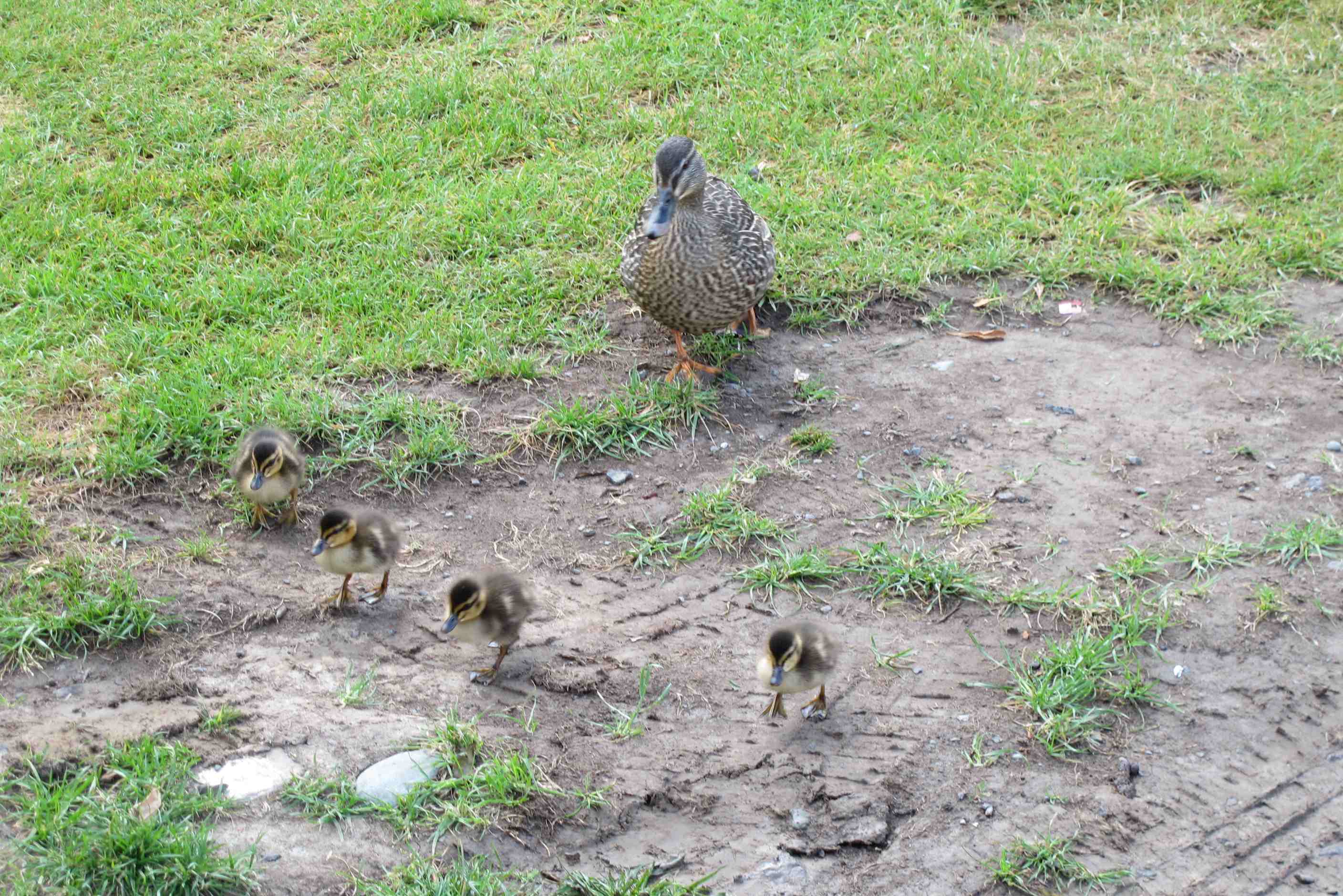
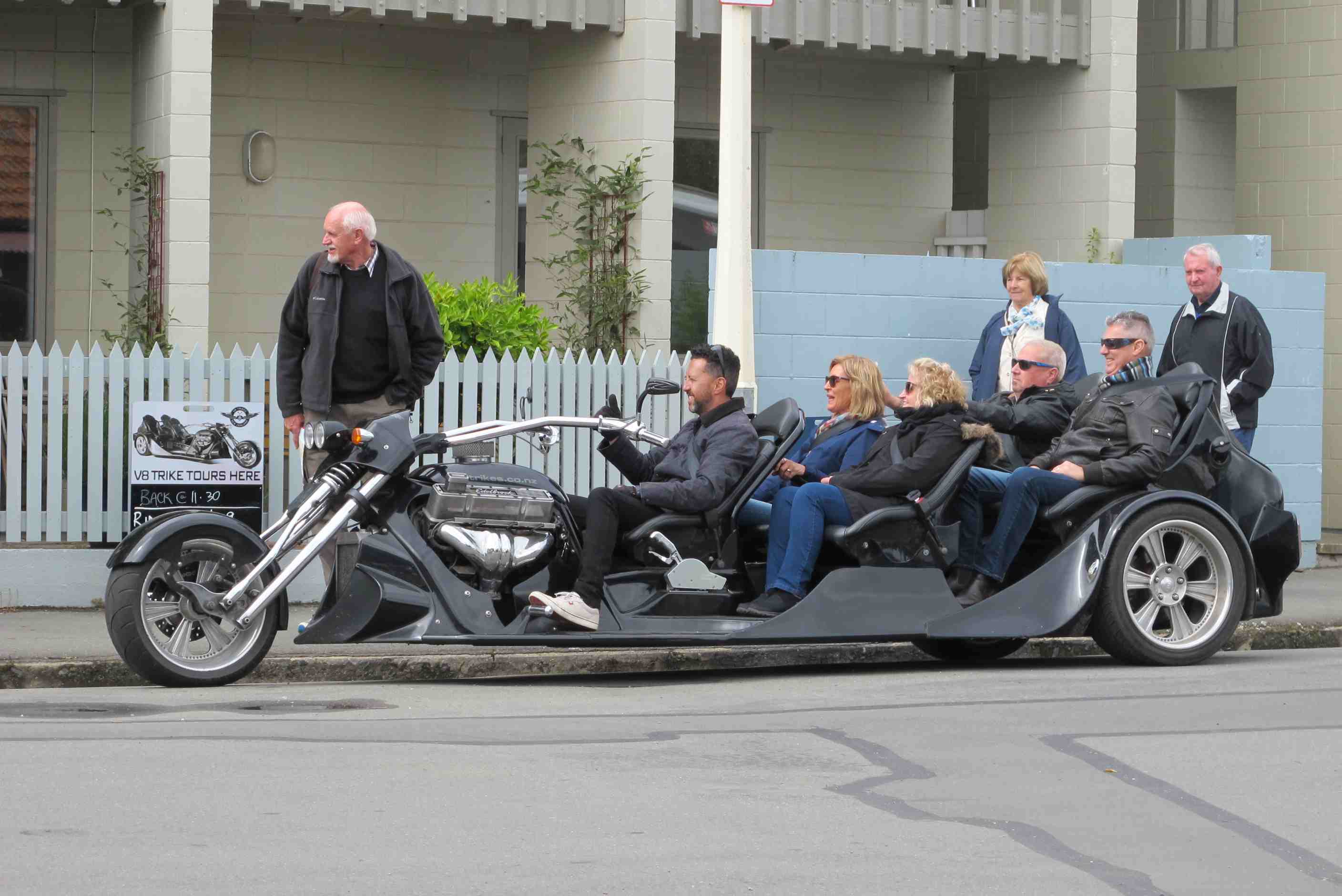
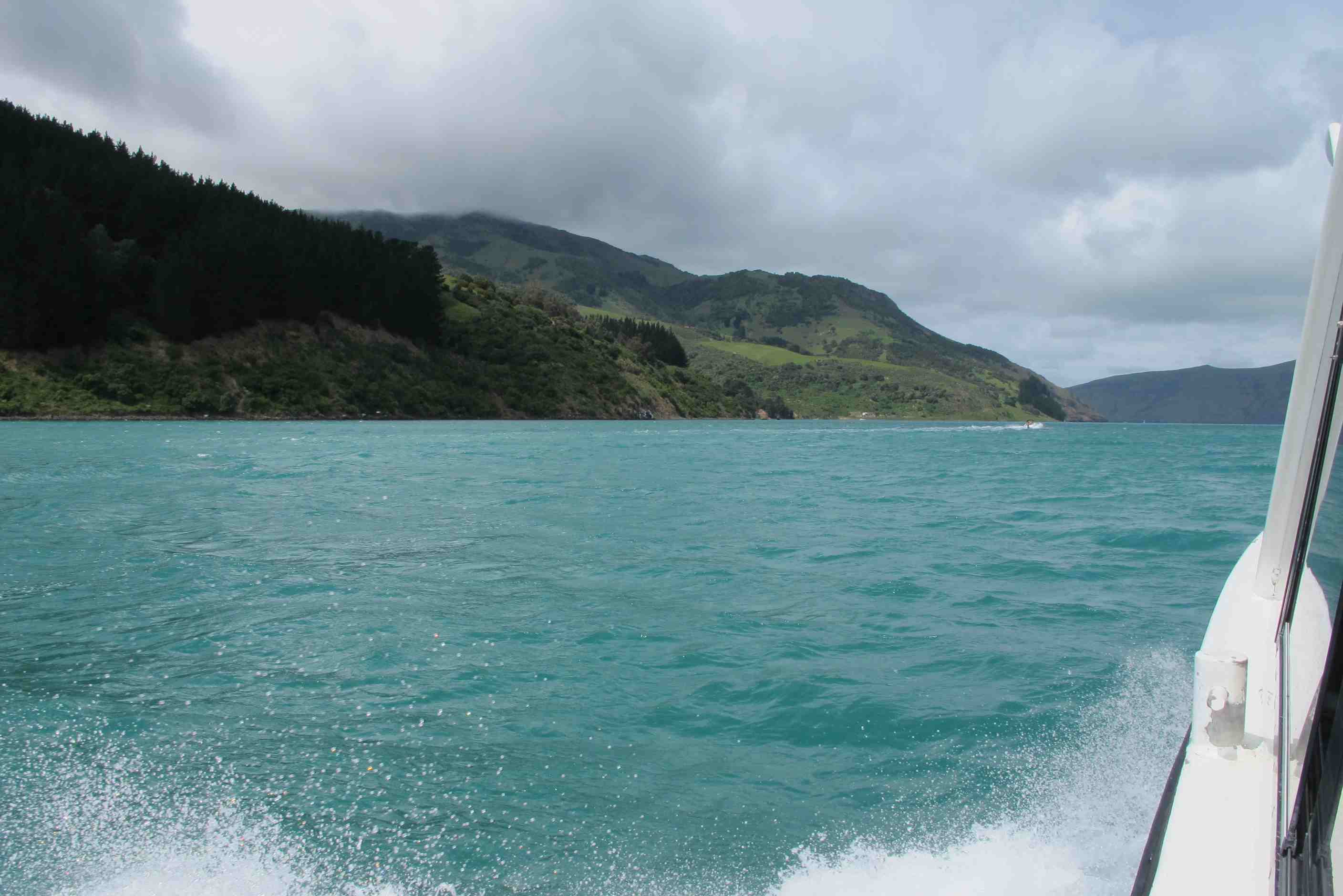
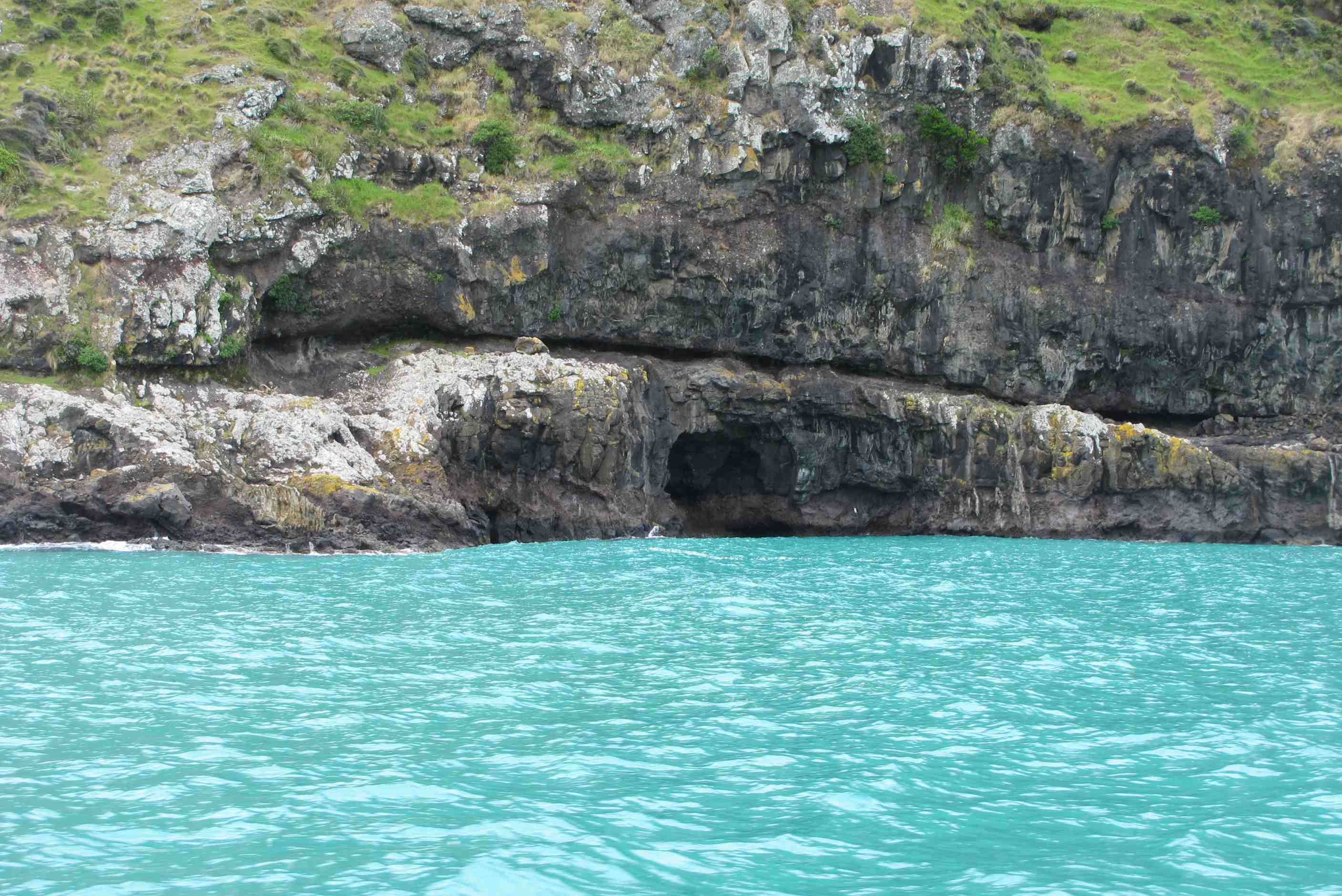
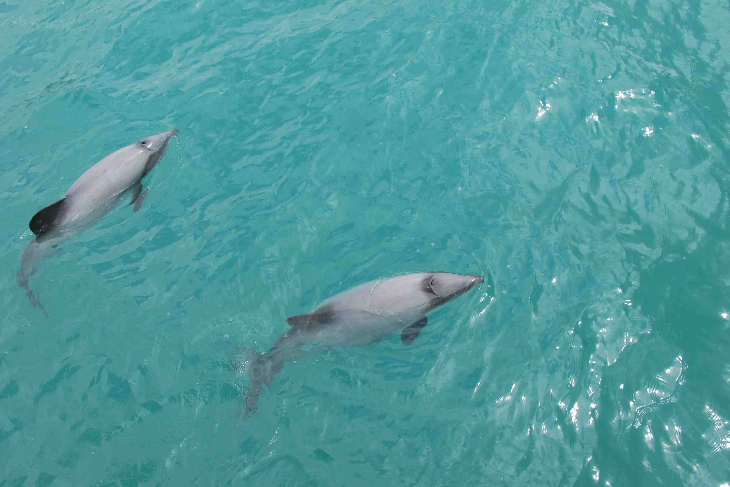
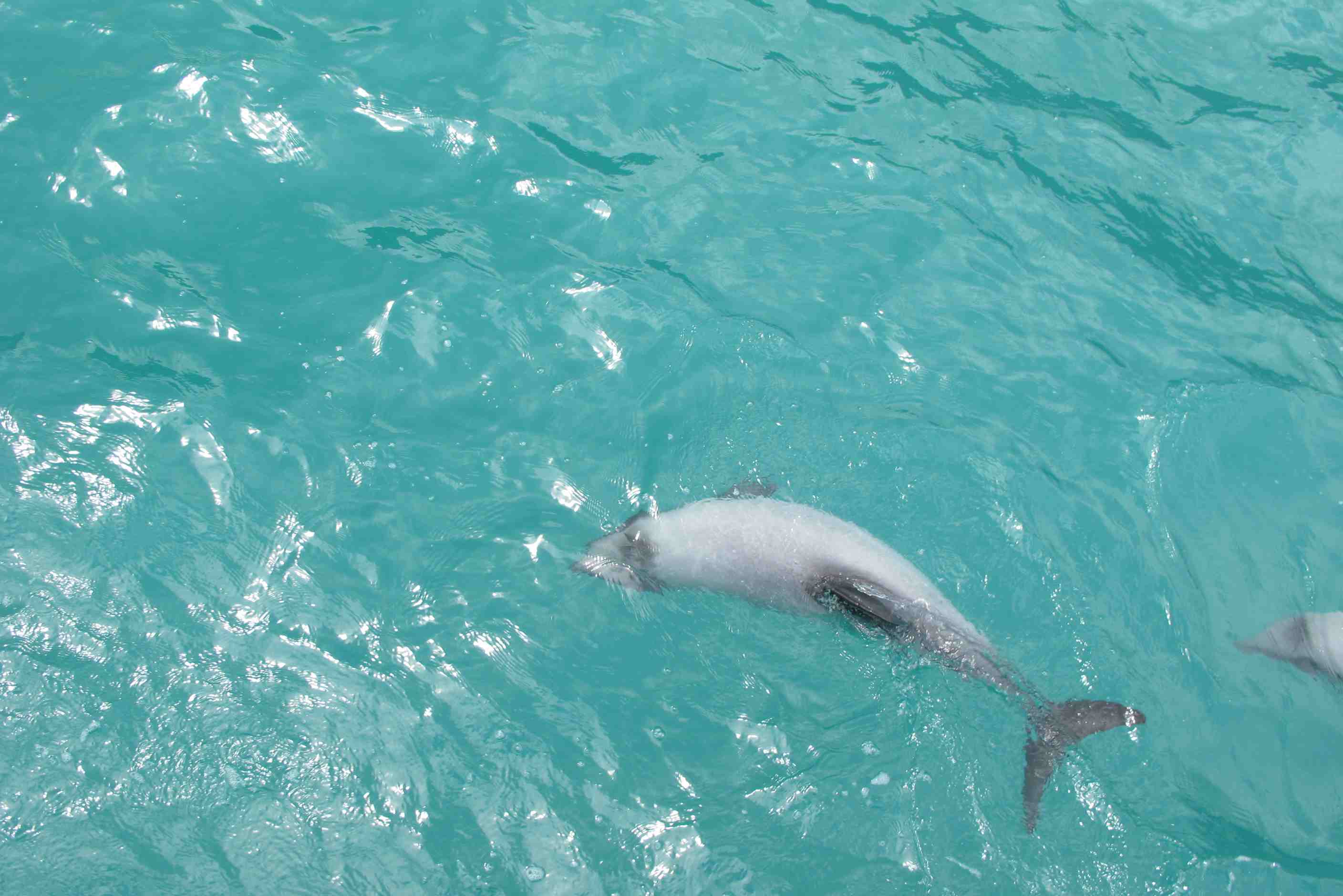
A nice slow start to the day. Caught up with e mails, mobile home jobs and plans for next day. A little walk around watching ducks and their babies. Then left site for a little mooch around Akaroa. A really lovely little town. Lots of nick knacky shops to browse in, lots of interesting things and people to watch!
Then went to sign in for our dolphin adventure and get kitted up with 7mil wetsuits, the water was going to be chilly! On to a lovely little catamaran for the trip into the harbour. Soon saw the rare Hector Dolphins, this is the only place they can be found. They are very small and very pretty. They kept teasing us, appearing and disappearing! Then the crew decided to let us in. Down steps backwards and into a big swell. Boy, was it cold and you had to be careful as suits were incredibly buoyant and it was easy to flounder about on your back! Soon got the hang of staying upright and bobbing around, no swimming as would scare dolphins away. Some swam around us, very close but was quite difficult to see as swell was big.
We got back on board and moved on to find more. Several more then appeared and back in some of us went - others wimped out as it was cold and by now swell was huge! Maybe 5 or 6 meters. Straight after going in, a dolphin swam at me and past within a couple of feet, wow! They are so amazing. Saw a couple more but none this close. We were then brought back in as was getting dodgy, it was quite a job to get out up ladder in those waves. All in all it was amazing, those little guys were so cute!
We returned with hot chocolate and biccies to a hot shower! We got a bit of lunch then set off for Christchurch. We must have both been worn out as had trouble staying awake. Parked in another camp as not many places to freedom camp, will save that for tomorrow. Think we will go to sleep happy and sleep the sleep of the dead!!
Had a lie-in this morning - didn't get up till 7am! Did a few chores, sorted out some e-mail and did a bit more blogging as we didn't have time last night. It drizzled a little bit but this soon stopped leaving the day a bit overcast. Drove half a mile along the harbour front to a parking place we'd discovered the day before, then went to sign in for the "Swimming with Dolphins" tour with Black Cat Cruises. The staff were very friendly and helpful. We did a bit of souvenir shopping and spent a few minutes people watching as the population of Akaroa (624 in the 2013 census) swelled by more than two thousand as the cruise liner, that had parked in the bay overnight, disgorged two-thirds of its passengers. Sometimes they get 2 liners arive at once! Then back to Black Cat to meet Hugh, our guide. He gave us the usual safety spiel and togged us up with mask, snorkel, booties and wetsuit. Then on the boat to meet Andrew, one of the skippers looking after us.
We made our way into the bay, stopping from time to time as pods of dolphins showed up, only to disappear on us quickly. Eventually a pod of 3 or 4 stayed around for long enough for us to climb down the ladder on the back and enter the water. The shock to the system was quite something as the temperature was about 14°C. But after opening the neck of the wetsuit to let water in, that then heated up to body temperature and acted as an insulator to the cold, it wasn't so bad at all. Unfortunately there was a very big swell (it got even bigger on the next swim as by then we were almost out of the harbour in ocean waters), and the 7mm wetsuits, while keeping you very bouyant also made you a bit unstable so you were continuously trying not to end on your back floating like a ship's buouy.
Neil took his camera with him in its underwater housing and Andrew gave him a tip as he left the boat. "Try tapping on the housing with your wedding ring" he said. He tried it several times to no avail but after about 15 minutes in the water Sue shouted that there was a dolphin coming his way and sure enough one did get almost within touching distance of him (not that he would touch the dolhin as its skin is very sensitive, almost like the skin below your eye and it would be too easy to cause it damage, or pass on an infection to it). Neil tried to video it and got a few glimpses of it on camera, but, idiot that he is, he should have put the camera underwater for a better view! Nevertheless, this was a magical moment. These wonderful creatures, less thatn 1.5m long, are found most commonly around the Banks Penininsular and are on the endangered list. It was a privilege to see them like this.
After the second swim, Andrew decided the sea was getting too rough. Neil was the last one back on board and by then the swell was around 5m high. Although was all agreed that we'd had a great time Andrew said that notwithstanding the fact that we had actually swam with the dolphins he would contact his management to get them to refund a proportion of the fee. This is a reflection on how good this company is and we would not hesitate to use them again. Sure enough when we got back, after a welcome cup of hot chocolate and ginger biscuits, we each received a $40 rebate, which was very generous. The facilities back on shore were very good and we all had a hot shower before Neil went for the motorhome while Sue bought some lunch. Then it was on to Christchurch.
night |
kms |
Overnight Stay at |
Cost/night |
Facilities |
Wow Factor |
Photos |
|---|---|---|---|---|---|---|
| 22 | 478 | Lake Pukaki - Overlooking Lake and Mt. Cook (Aoraki) (Freedom Camping) | 0 | 1 | 5 |
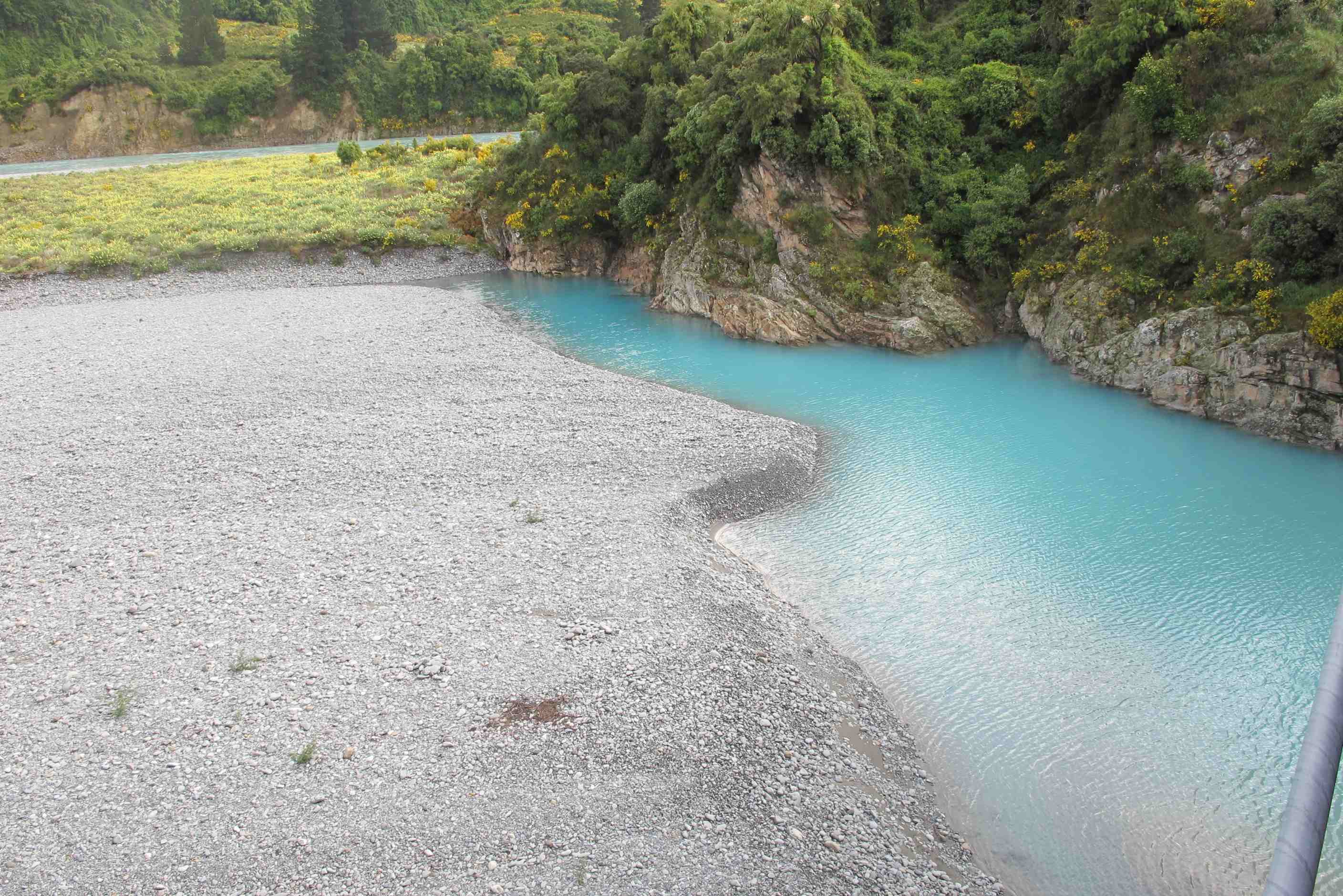
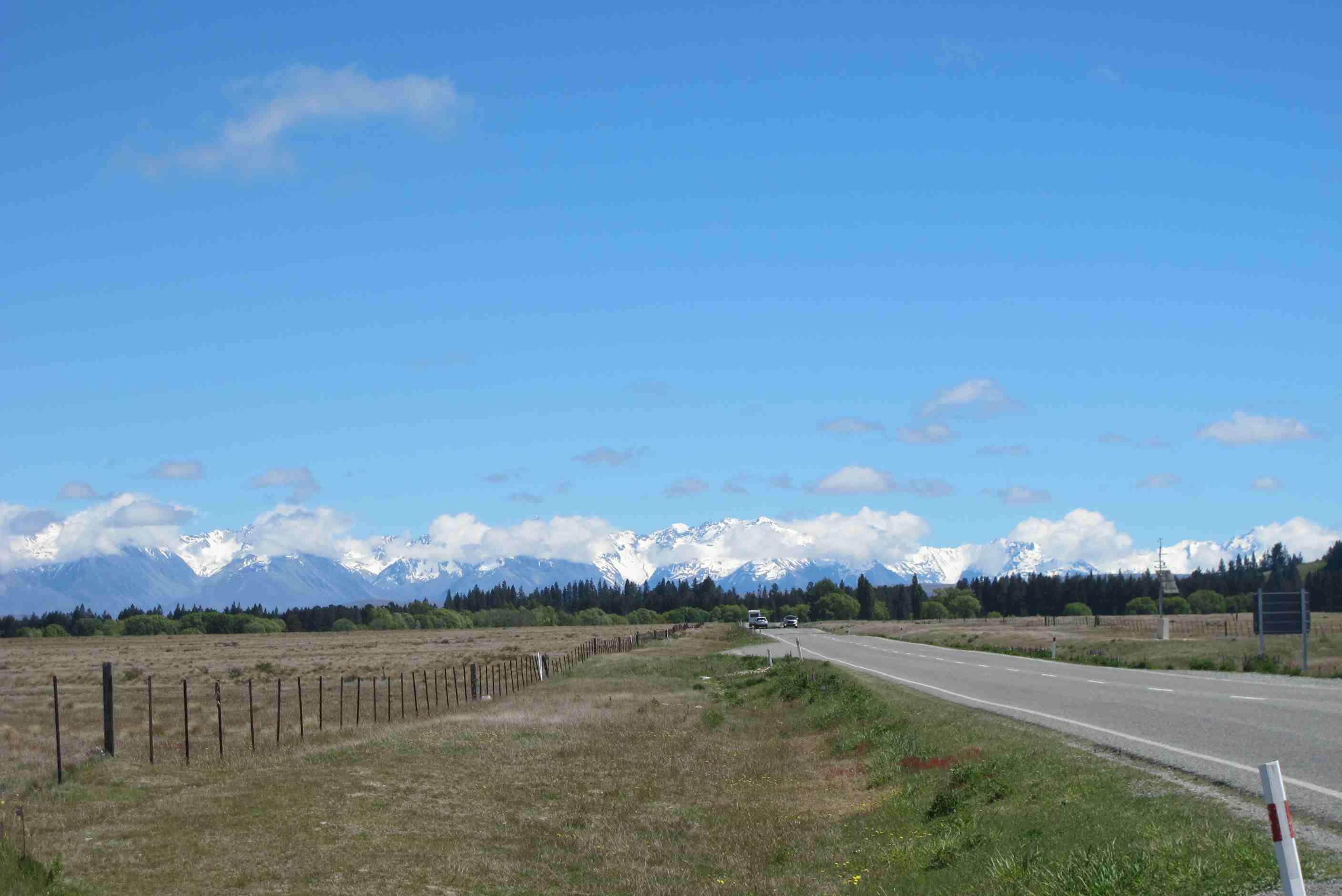
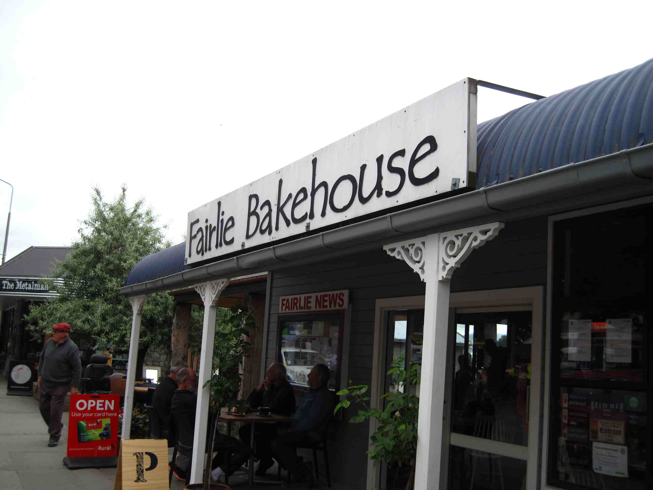
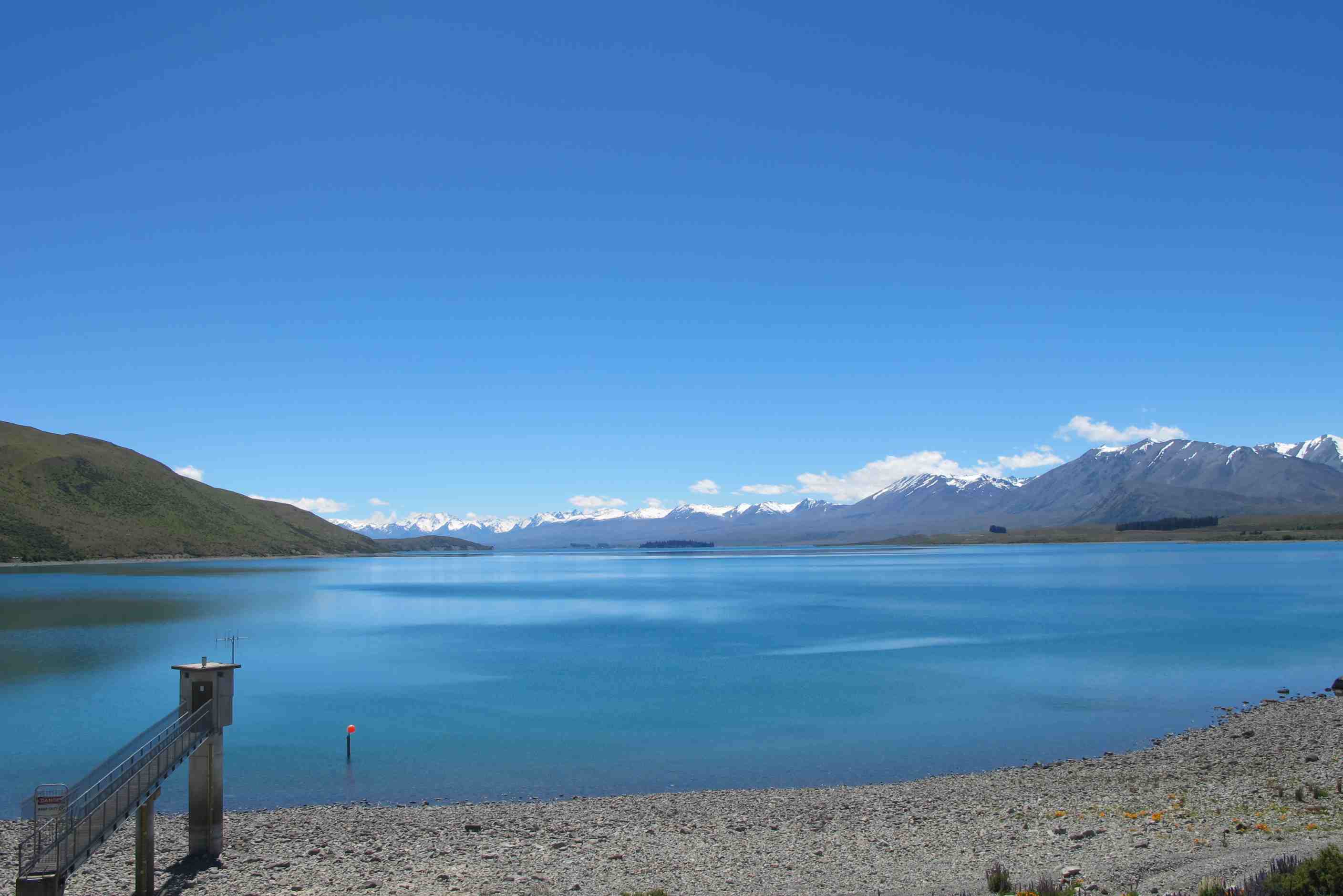
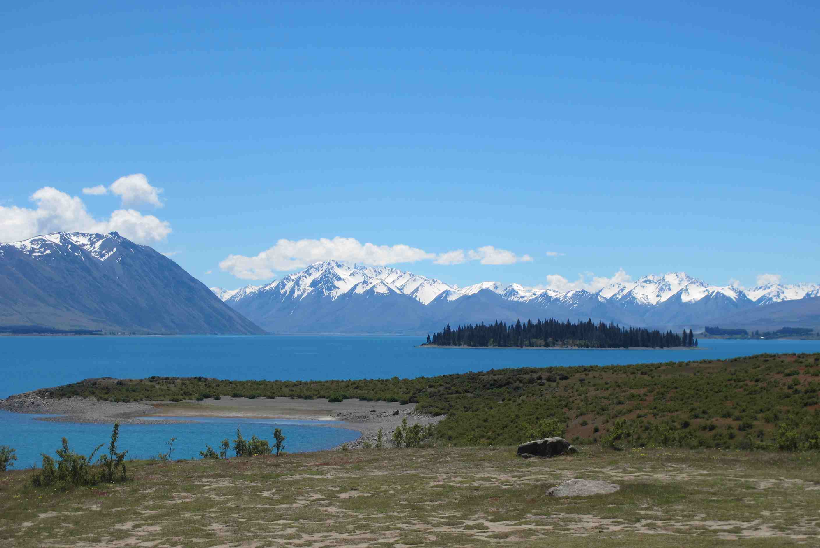
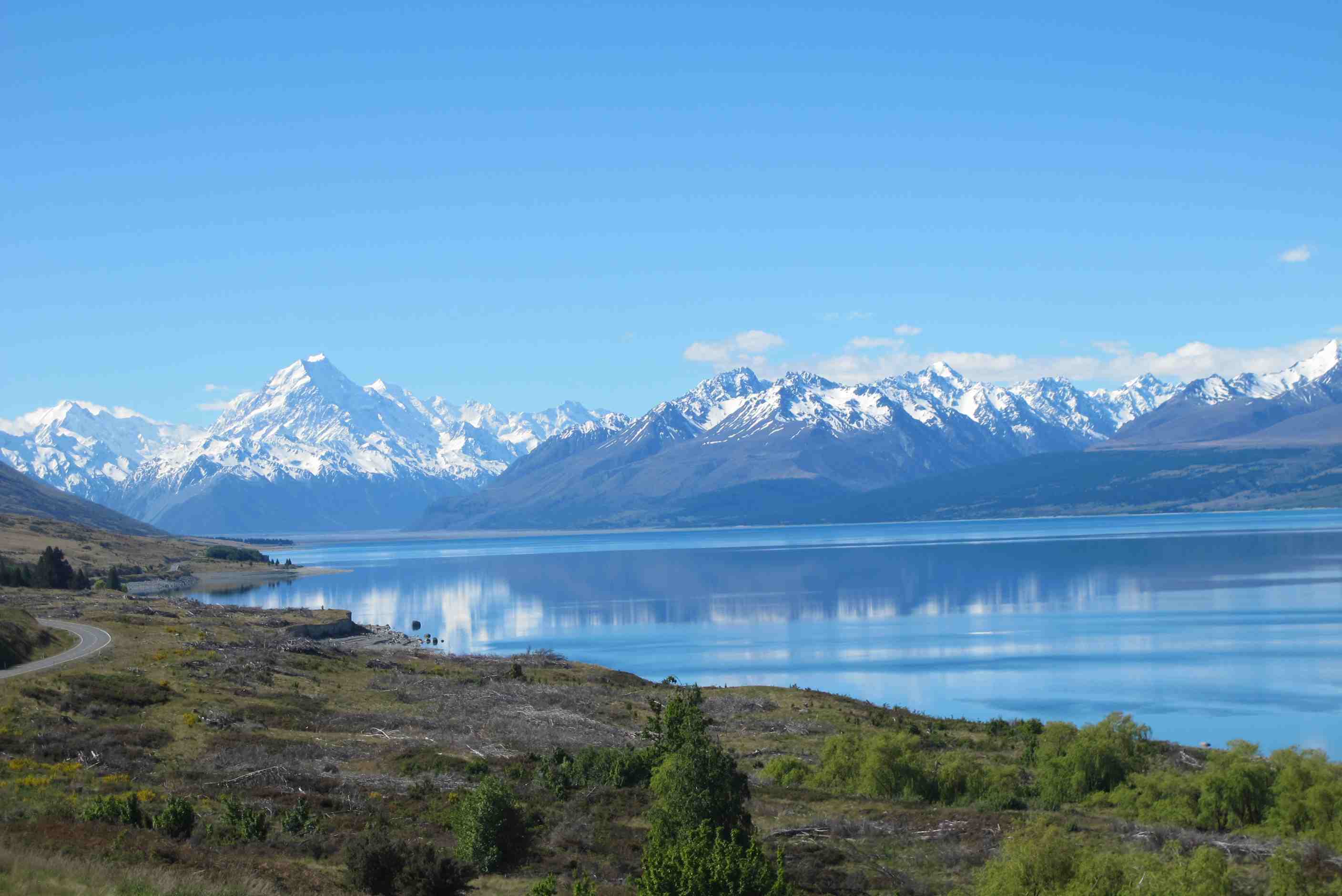
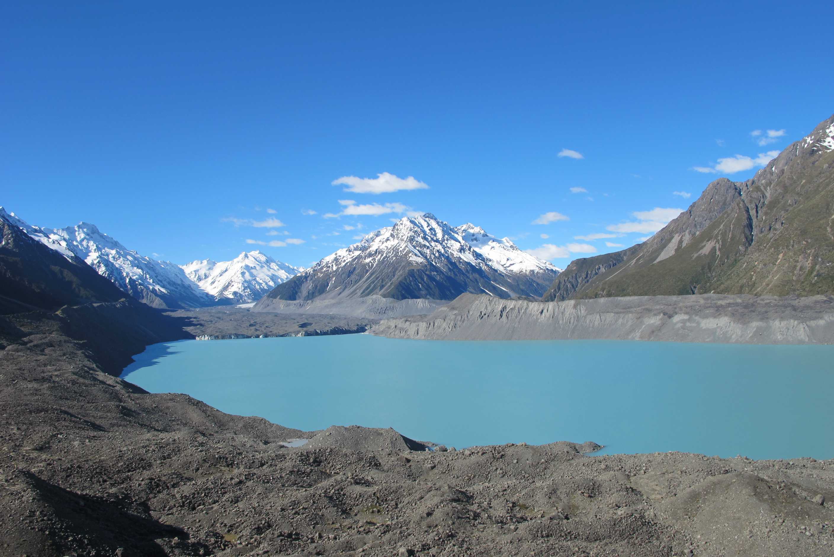
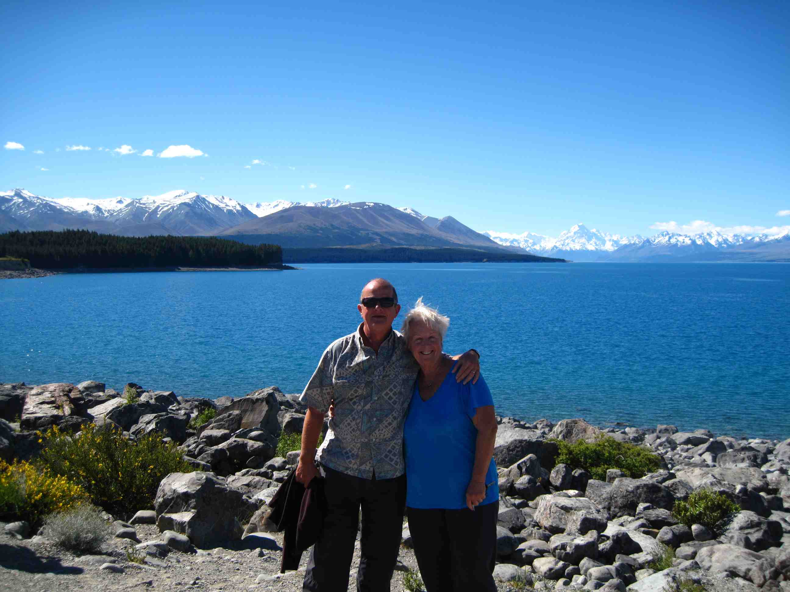
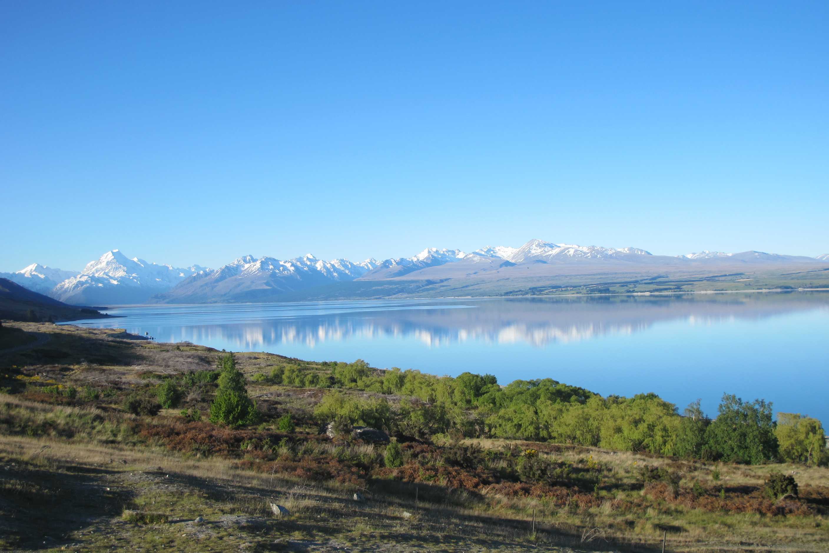
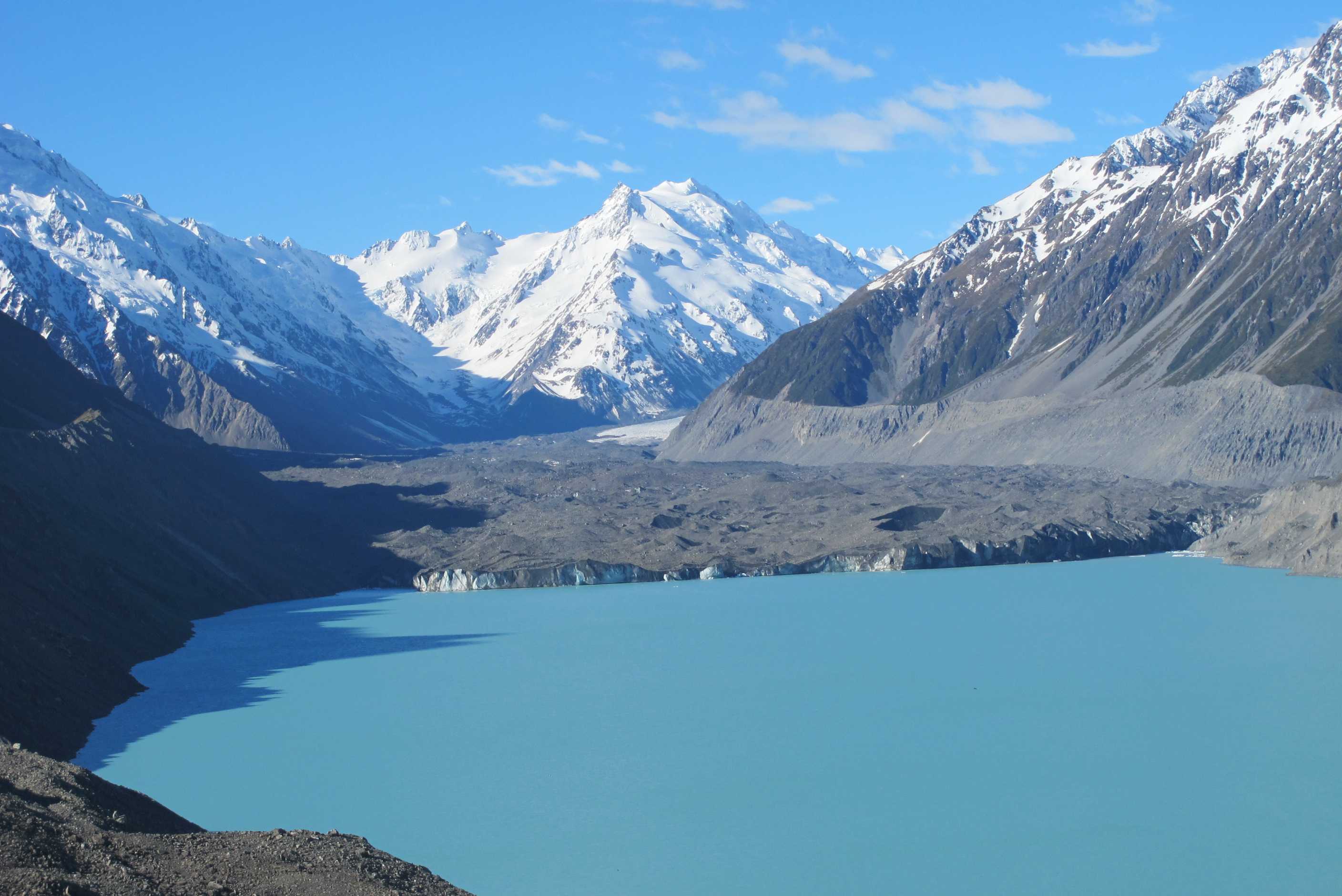
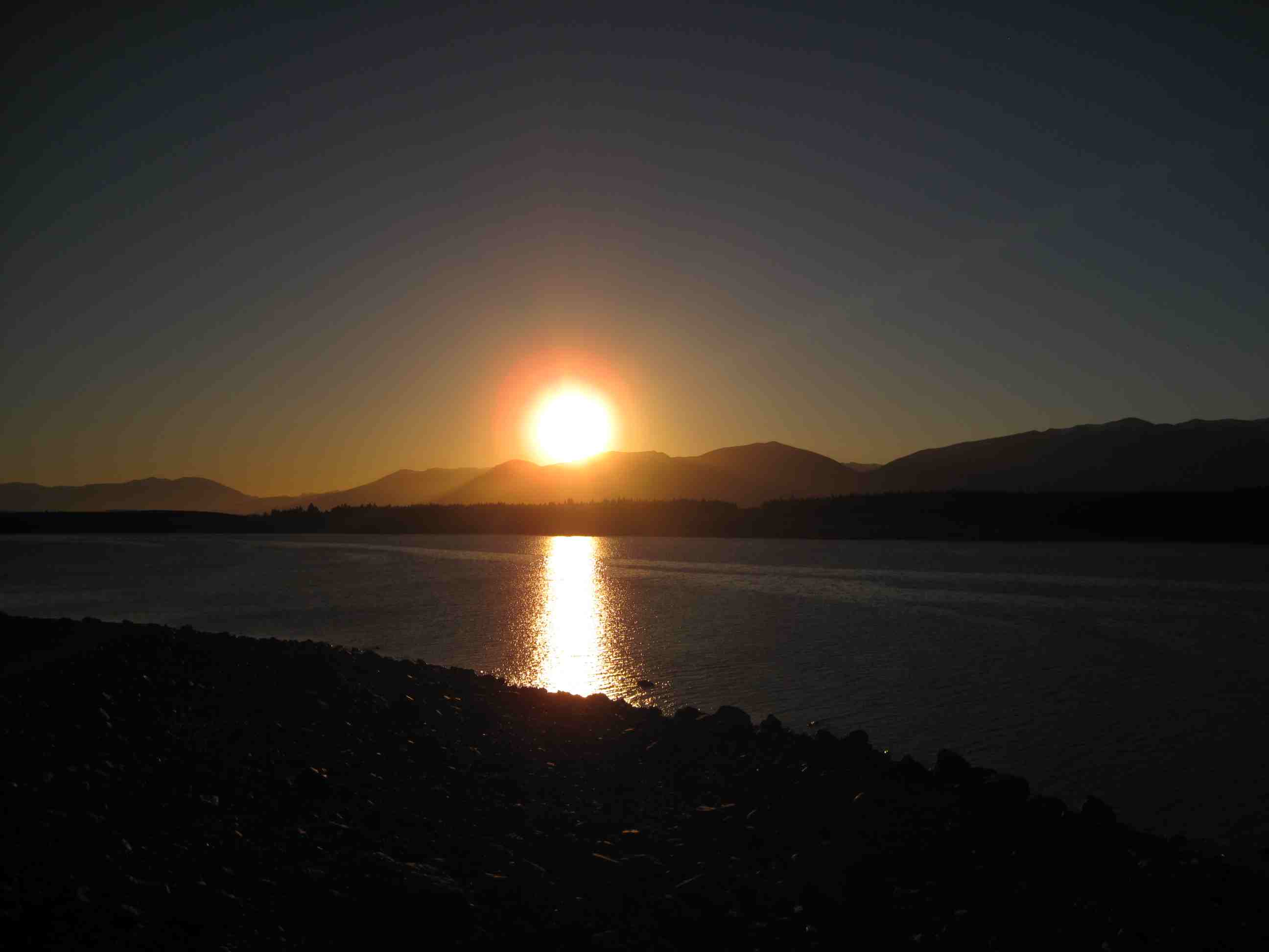
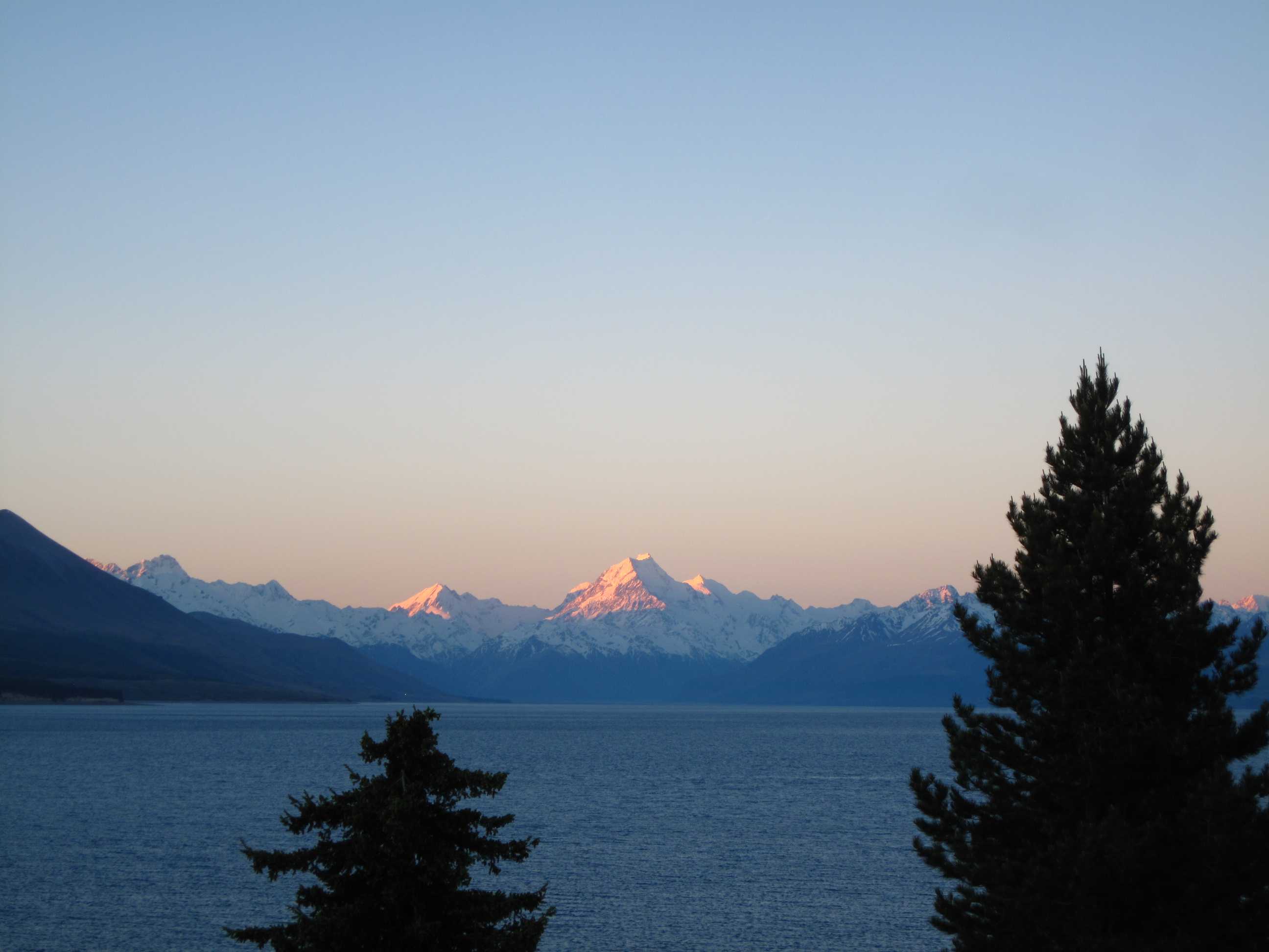
Left early in a misly morning. Low cloud, low visibility. Arrived at Rakia gorge and tried to find the walk mentioned. Did not help that we got confused as to where north and south were!! Neil looked at the sun, said that should be South, but of course forgot again that we were in the southern hemisphere. Set out down a very narrow path and got soaked by all the wet foliage. Then came to a rope across stopping us from going further! I, in particular, got so wet I had to change trousers and we set up an indoor line to dry things and sat with walking boots under the heating from driving! At least we saw the gorge and the river with incredible blue water.
We drove on through quite boring scenery with next to no visibility. We were worried as the places we planned to visit needed the sun to shine. We had read about a shop in Fairlie, on our route, that reputable sold amazing home made pies. I made the mistake of telling Neil about it and so we had to go! It was amazing, my pie had a fill ing I will use at home, new to me and utterly delicious - salmon and bacon!! Suddenly as we drove further, the cloud all lifted and we were presented with the most amazing outlook of snowy mountains! Wow!
We came upon Lake Tekapo and it took our breath away! Turquoise does not do it justice, and surrounded by snow capped peaks. After a while we took a gravel road towards Lake Pukaki. Tom Tom did not like this and kept telling us to go back. We were somewhat worried but decided we knew best and forged on. Sure enough, we came across the lake and again it was a treble wow moment. We took more off road tracks, saw amazing view after amazing view and not another car, our kind of place! Then in the distance was Mt. Cook in all its splendour. We had to keep stopping, everything was so stunning.
We stopped at a little shop selling salmon and came out with sashimi salmon, smoked salmon and salmon pate! Dinner tomorrow. Tonight we had steak, yum yum. We then continued on to Mt Cook village and took the road to the Tasmin lake and glacier. We climbed 360 steps to the top and looked down, when we had caught our breath, it was hard, another wow moment. Worth the climb! We then came back to camp for the night on the shores of the lake and watched the sun go down and Mt Cook turn pink, oh my god! Neil sat watching outside, with a G & T, whilst I watched doing dinner!! Did a good turn by heating some water for a young Dutch girl so she fill her hot water bottle. She's camping out in a miniscule tent and planning to do South America next year. A clear starry night, so very special, again! We were so lucky today that the weather turned, lets hope it continues.
Left the Top10 site. Had hoped to do the gondola in Christchurch, but it was drizzly with thick rain clouds overhead so decided to move on instead. We looked at the route we had worked out last night and headed for Raiki Gorge. When we arrived there was some confusion as to where the walk started. We began to go down a track that was slightly overgrown and after about 5 minutes Sue was soaked to the skin with water that was on bushes she brushed by and her boots were sodden from the wet grass. We decided to abandon the walk.
After Sue had done a complete change of clothes we carried on. On reaching Fairlie Sue (not Neil) mentioned the world famous Fairlie Bakehouse, famed for its PIES! The satnav tried to miss out Fairlie, it must have been programmed by a vegetarian, but Neil's pie-sniffing abilities came to the fore and we were soon sat down with a salmon and bacon pie (Sue) and a venison and cranberry one (Neil). They were delicious.
Fully sated we then carried on down the Inland Scenic Highway, however the low cloud blotted out most of the scenery and were beginning to worry that Lake Tekapo and Mt Cook would be obscured when we got there. Then we saw a small patch of blue sky that got bigger and suddenly on turning a corner all the sky in front of us was blue. We arrived at Lake Tekapo and travelled up and down the East shoreline. This was absolutely spectacular. People will surely believe we doctored the photos because of the brilliant turquoise color of the water.
Then we decided to take a long gravel path to the East shore of Lake Pukaki. The satnav kept telling us to "Go Back!" but we kept on and eventually reached the lake and got a magnificent view of the snow-capped mountains, including Mt. Cook. It was thrilling and very few people come the way to be treated with such a sight. Then on down to the South end of the lake, where Sue purchased some salmon grown locally. We carried on up the west shore of the lake each lookout vying to outdo the previous one with its views of the mirror lake and the imposing Mt Cook. At the top we turned off to the right to travel less than 10 km to see the Tasman Glacier. Because of the distance the perspective makes it difficult to see how high it is and from the lookout it looks to be just a couple of meters high; it is only when one of the jet-boats sets out for it and dimininishes in size minute by minute when you realise it is about 50 metres high!
Finally we went back down the lake shore and found a lovely !wildernesst" camping site overlooking the lake and Mt Cook.
night |
kms |
Overnight Stay at |
Cost/night |
Facilities |
Wow Factor |
Photos |
|---|---|---|---|---|---|---|
| 23 | 322 | Dunedin - Overlooking the sea (Freedom Camping) | 0 | 1 | 4 |
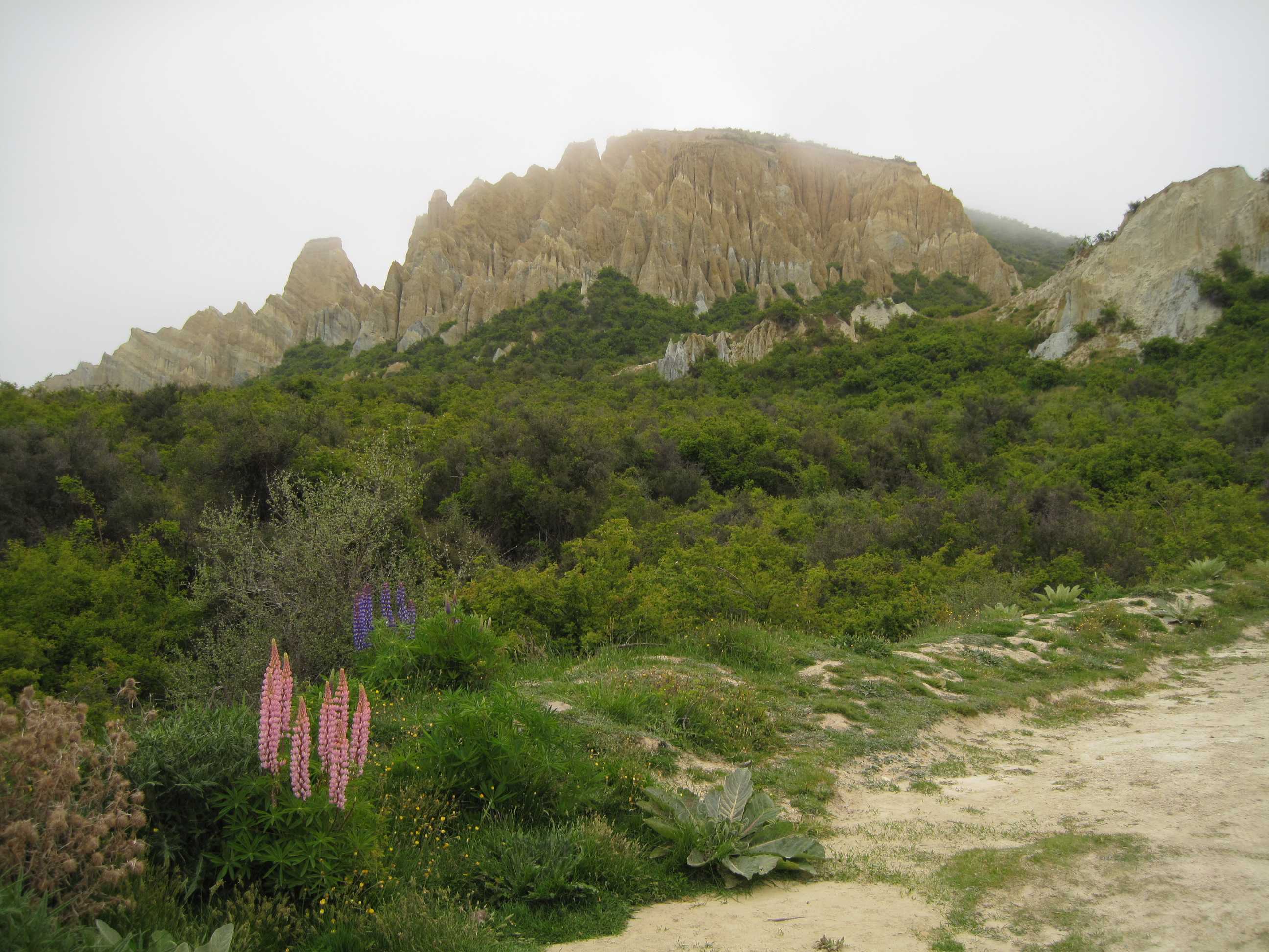
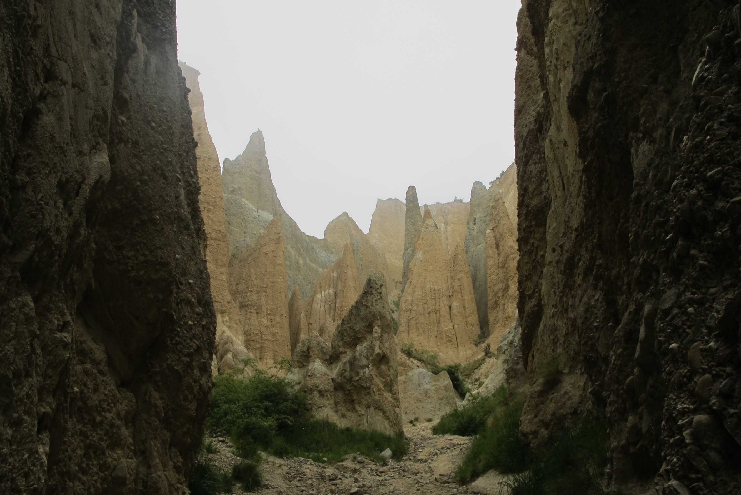
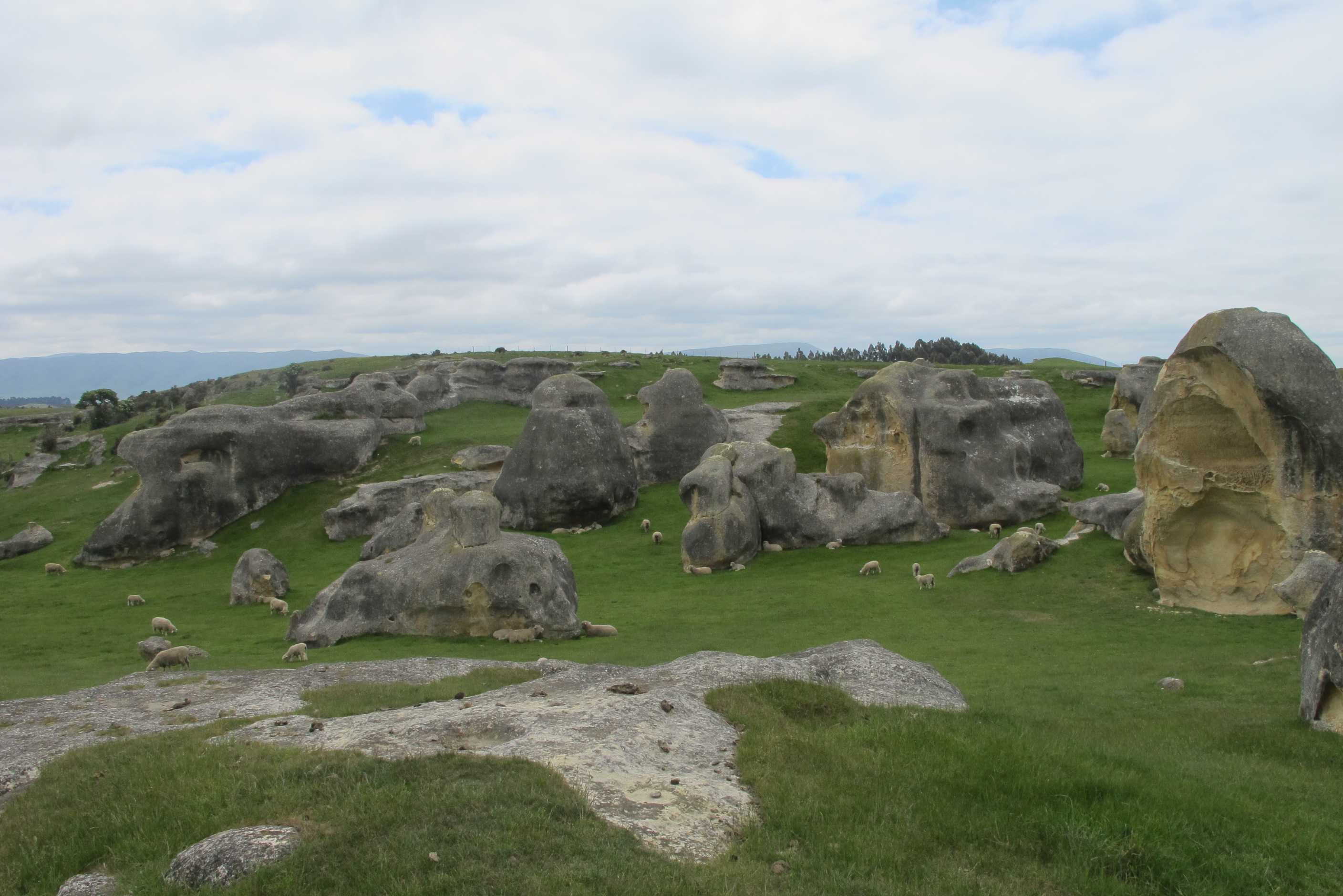
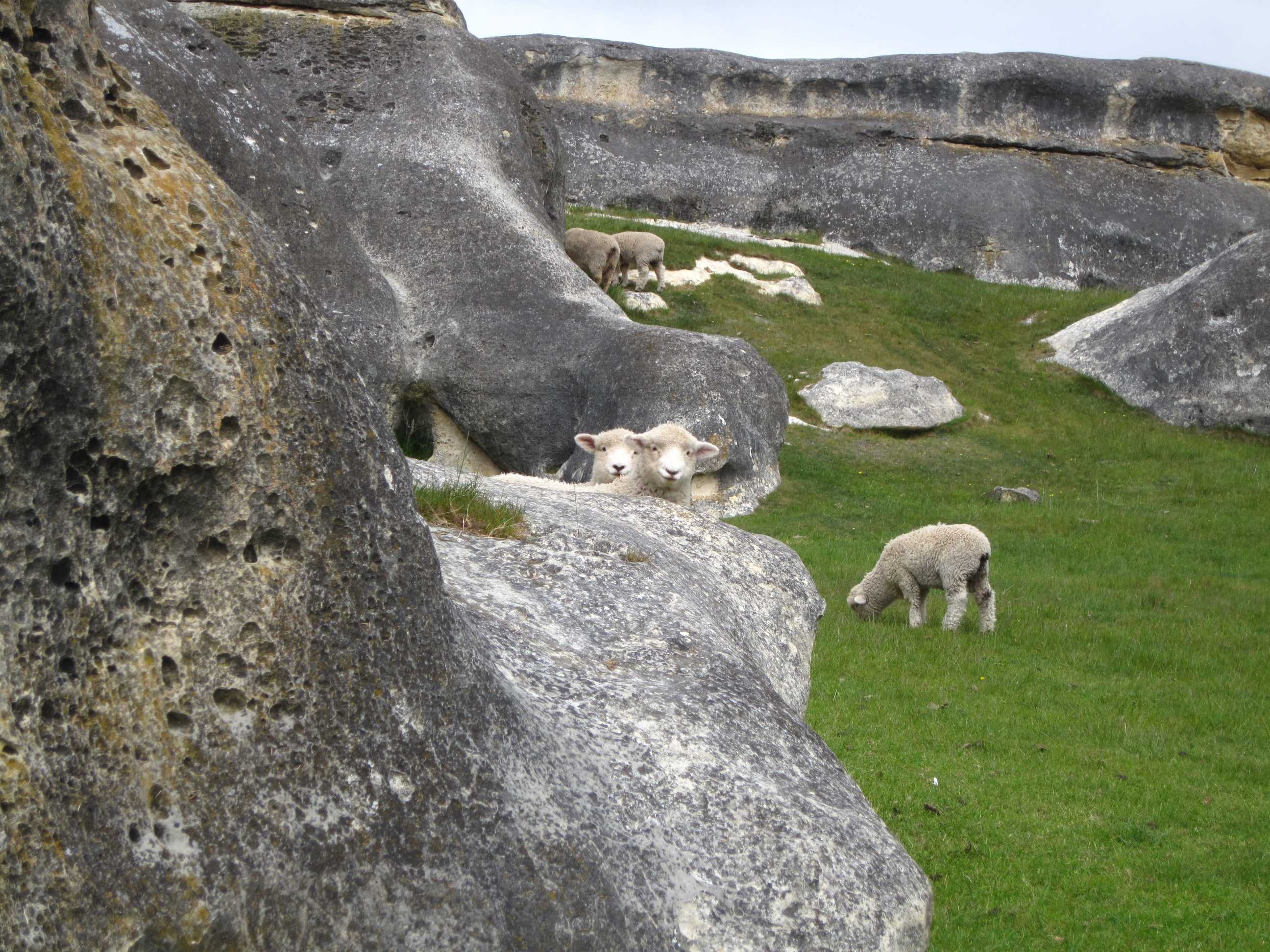
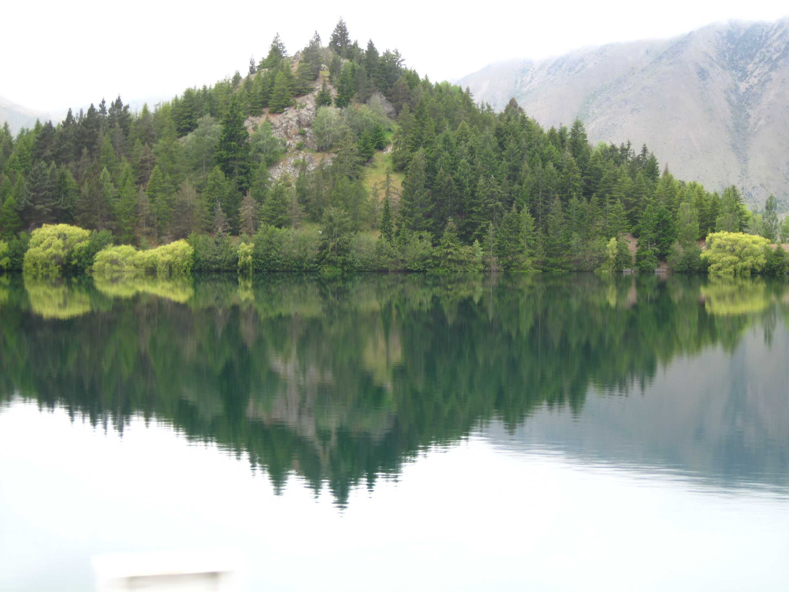
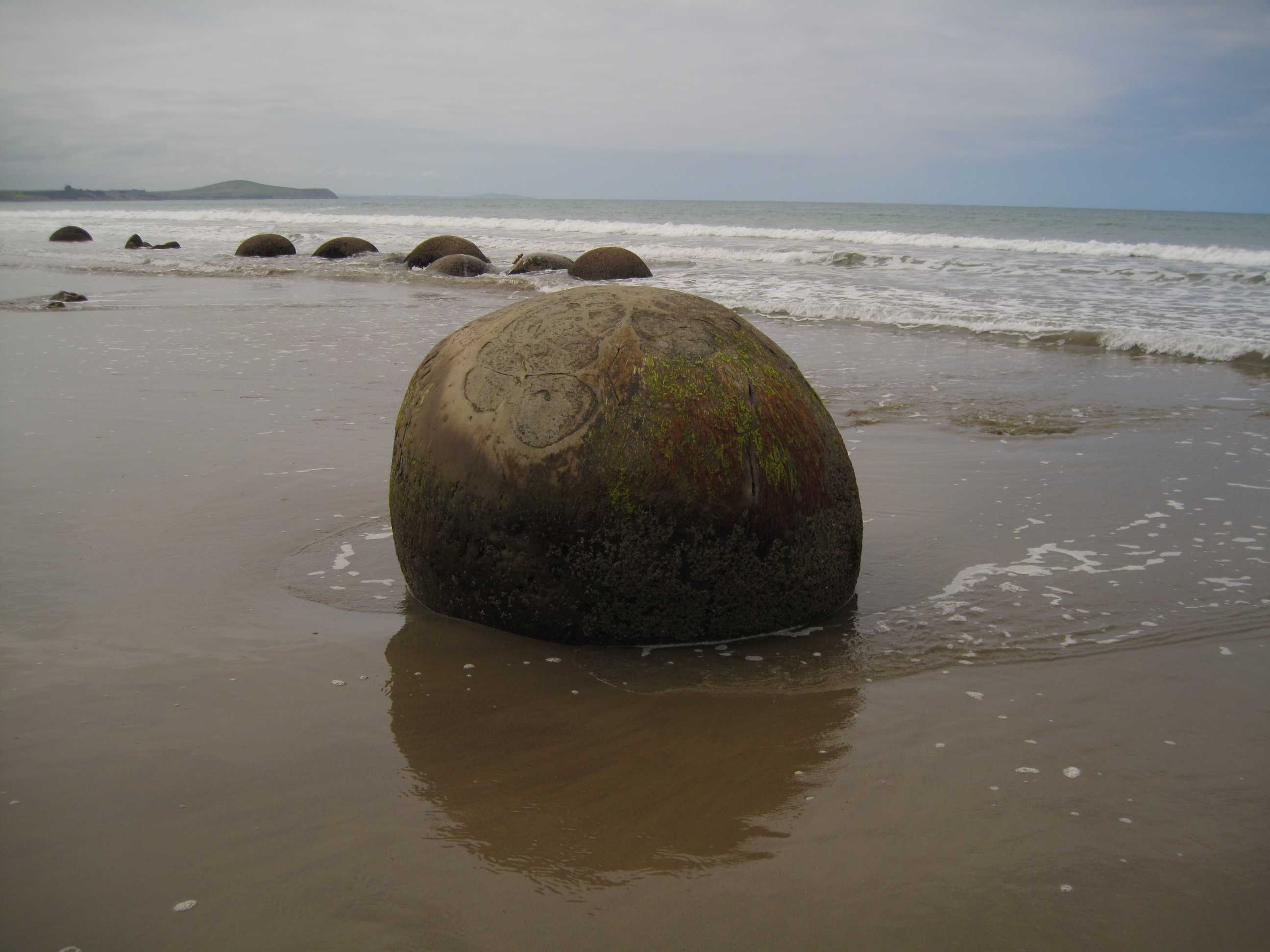
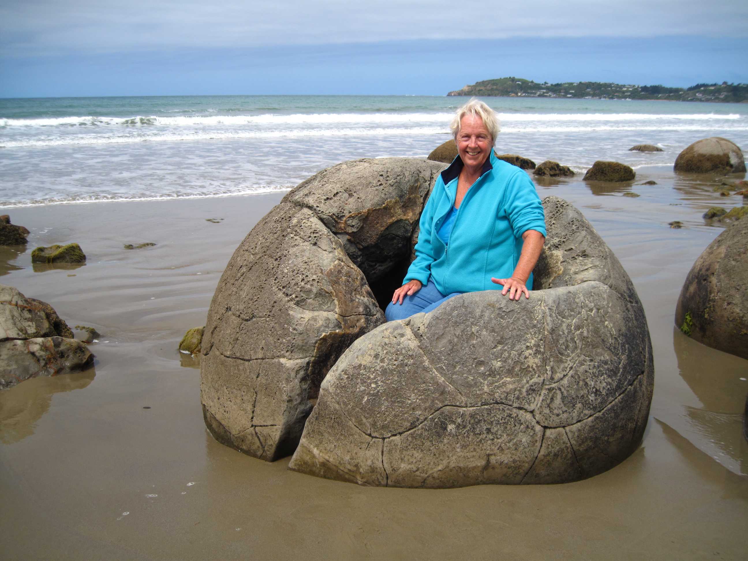
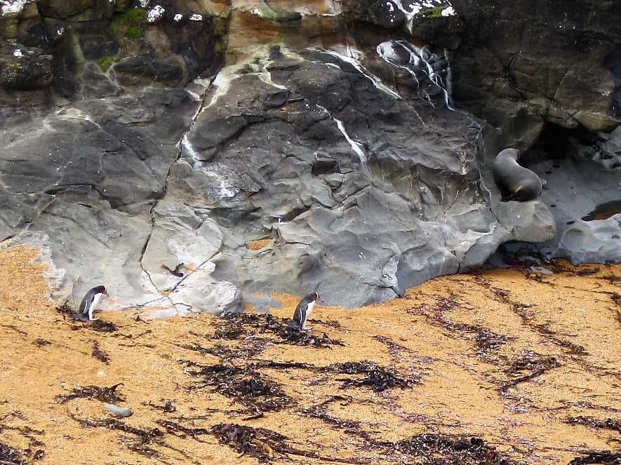
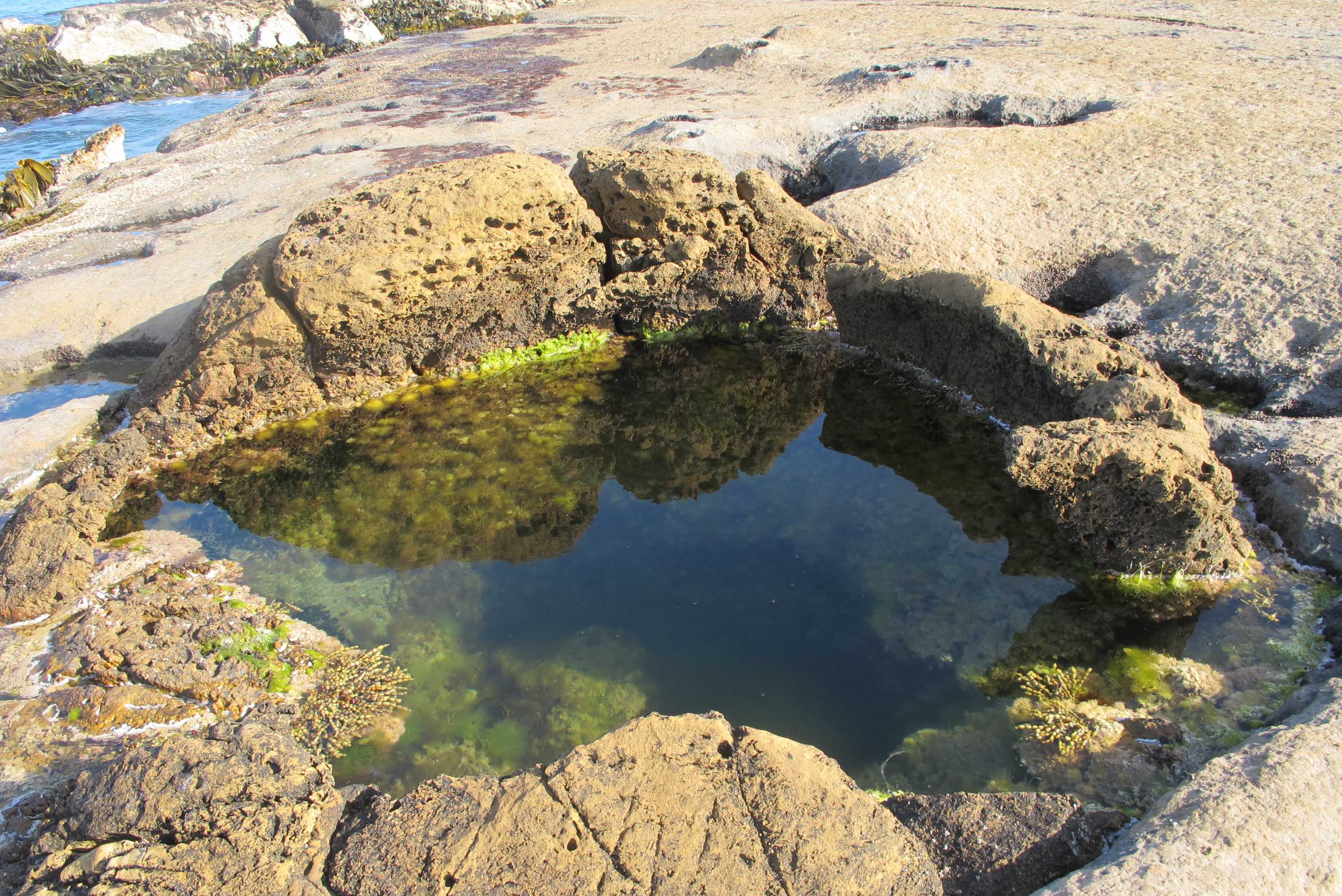
Woke up during the night to fabulous starry sky, lovely. Had a short walk by the lake before we set off, nice way to begin the day. Drove to the clay cliffs, went along lovely roads lined with wild lupins of every colour and pale pink dog roses, beautiful. We could not understand where these cliffs could be as all seemed quite flat, then went round a corner and there they were, hugely impressive! We had a lovely walk/scramble around and through them.
We then went on a scenic drive along Lake Benmore, Benmore dam, Lake Aviemore, Aviemore dam, then yet another dam. All completely stunning, what a drive! Next was Elephant rocks. These were boulders strewn amongst fields of sheep. This apparently was the site of Aslan's camp in Narnia, in the film "Narnia - The Lion, the Witch and the Wardrobe". The boulders were impressive and the sheep endearing!
Went along some more scenic routes to next destinations. There really is something amazing round every corner! We then arrived at Moeraki beach and its other worldly boulders. These boulders are on the beach and best at low tide, luckily we arrived as the tide was on its way out. They really were impressive.
Then, the highlight of the day, if not week! At Kataki point, there is a lighthouse and nature reserve. Beautiful cliff top walks. We immediately saw some blue penguins on some rocks. Also many, many seals, some very playful in the water. There was a nesting colony of gulls too. I got many videos, including a pair of seagulls having a great time!! Then the best bit, 2 yellow eyed penguins emerged from the bushes. They waddled all the way down to the beach and finally into the sea. I managed to get it all on video! Seeing penguins was one of the biggies on my to do list, so pretty happy now!
Then on a little further to Shag point! Again amazing at low tide, when we could walk amongst the spherical boulders and mermaid pools, wow! We finally reached the most amazing place to stay the night. We are parked on a spit of land sticking out into the sea. Stunning beaches to the left and right, sea all around, cliffs off to the side and not another soul in sight! Just remains to have that salmon we bought yesterday with a chilled glass of vino, then to sleep lulled by the sound of the sea.....
Left to go to the Clay Cliffs of Omerama, but while on the road saw a sign for Maori cave art by the side of the road so pulled in to have a look. There wasn't much to see, since the best peices were hacked out of the cliff face in the early 20th century to be packed off to museums. In doing so they damaged what remains and the removal has also caused erosion to occur - so sad.
Drove along a gravel path to get to the Clay cliffs ($5 entry fee to be placed in an honesty box). it is only at the last minute that you see the cliffs and this adds to the sense of excitement when you see them. They are very tall and the shapes are impressive. We spend some time wondering roumnd, trying to get into the very middle of the features, but sadly only managed it at one point.
Then drove along the Lake Aviemore Back Road. You get to it by driving along the top of a dam. It is a beautiful drive with lots of views of the mirror still lake as you pass by. The only problem is that the satnav does not recognise the road over the second dam at the far end of the road as a road. It tells you that to get back on SH83 you have to retrace your steps, when in fact you drive over the second dam and it is there!
Now we drove to see some "elephant" rocks that featured in the film Narnia. These too were very interesting (you must think we are a bit strange going on about rocks). There was a flock of sheep grazing aroung the rocks and a yound couple who were testing out their (non-equipment) rock climbing skills.
Then we went to see even more rocks - the famous Moeraki Boulders, via the beachfront back route. The intact ones are spheical in shape. They have a crystalline structure that grows within them, eventually shattering the boulder. The beach they are on is beautiful and goes on for miles.
Just down the road is the Katiki Point Lighthouse, a small edifice in its own grounds. Next to it though is a colony of Yellow Eyed Penguins and although they are extrememly endangered as a species, this colony seems to be thriving. We saw some on rocks and a pair came down the hill, snuck past a belicose seal and did a synchronised dive into the water.
Finally we just had time to see some lookalike Moeraki boulders. These are over at Shag Point and instead of sitting on the beach they are embedded in the tide shelf, and as such best viewed at low tide. In our opinion these are even more interesting than the ones at Moeraki, since quite a few of them have shattered in various ways to provide "baths" of water that you could, at a push, soak in. After this it was a longish drive to just outside Dunedin to freedom camp for the night at a fantastic place overlooking the sea.
night |
kms |
Overnight Stay at |
Cost/night |
Facilities |
Wow Factor |
Photos |
|---|---|---|---|---|---|---|
| 24 | 339 | TOP10 Invercargill - Small family-run site | $40 | 4 | 2 |
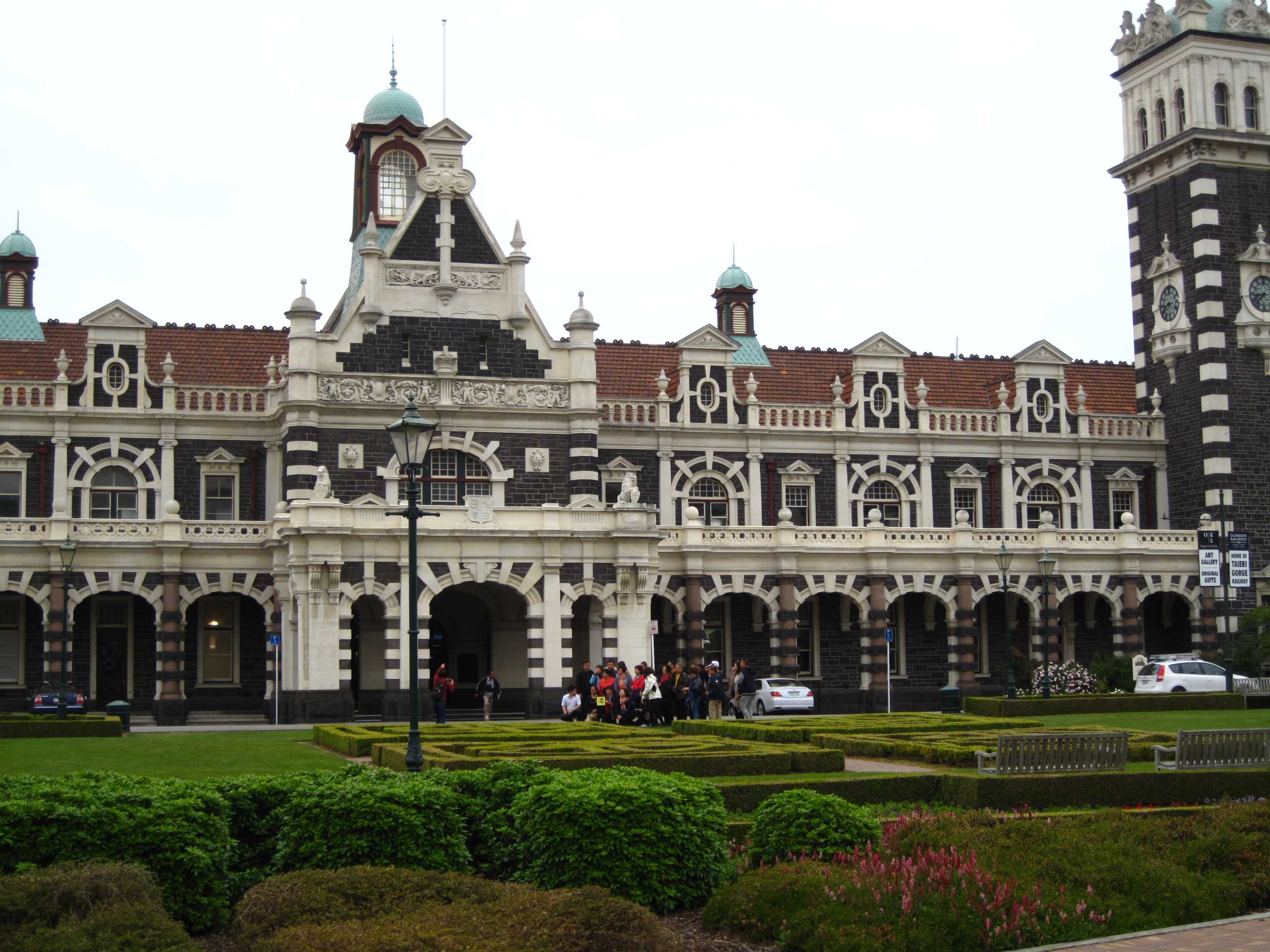
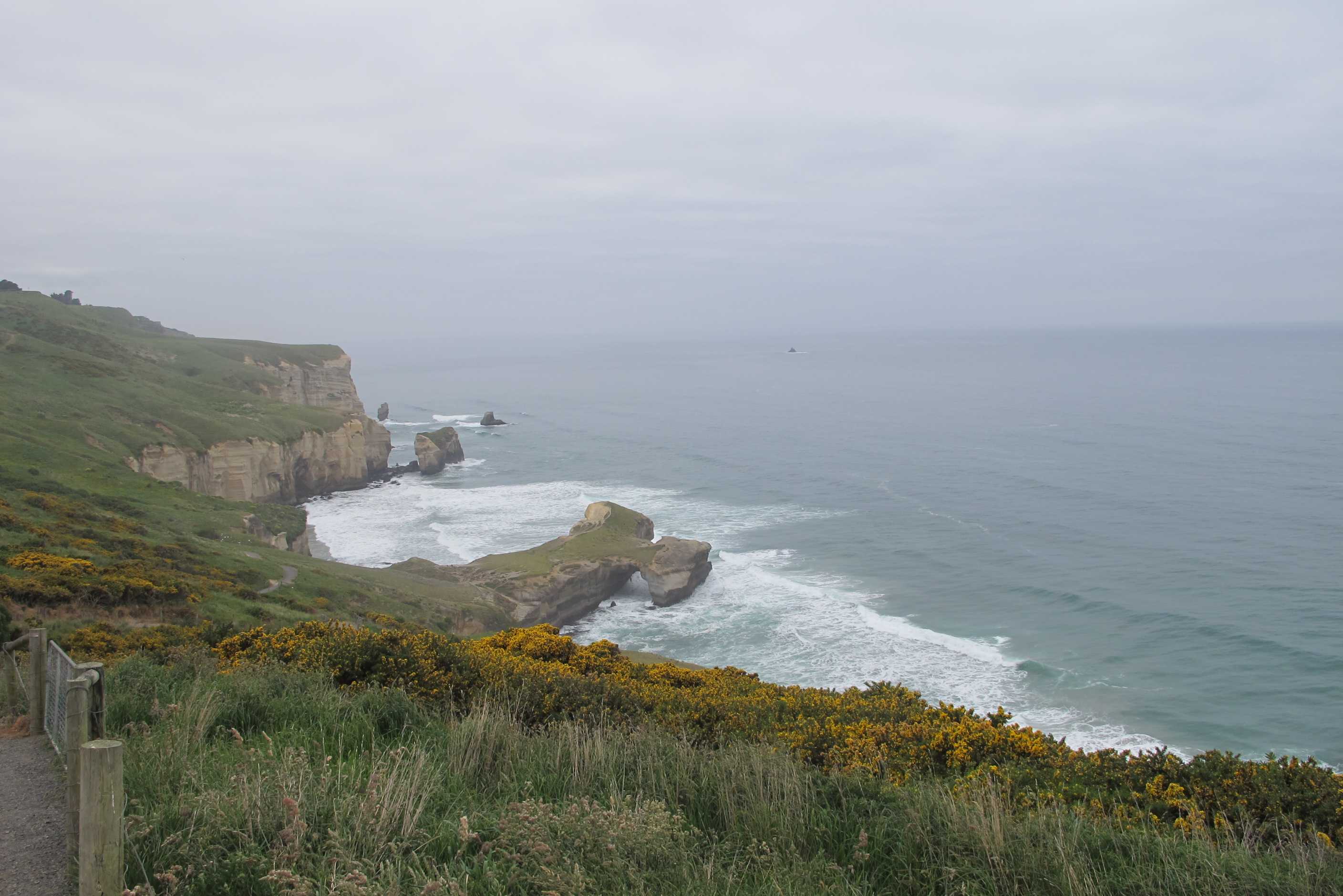
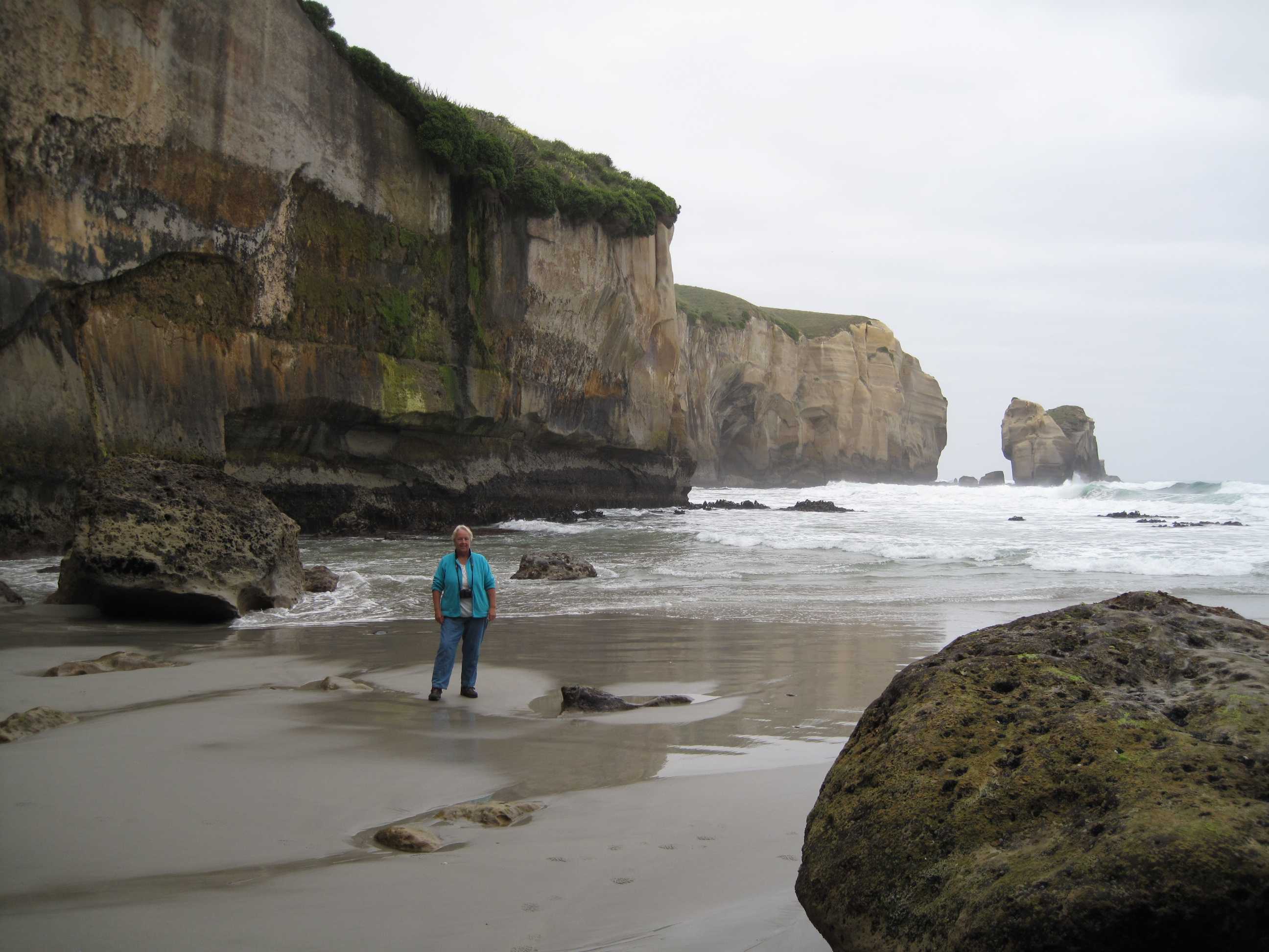
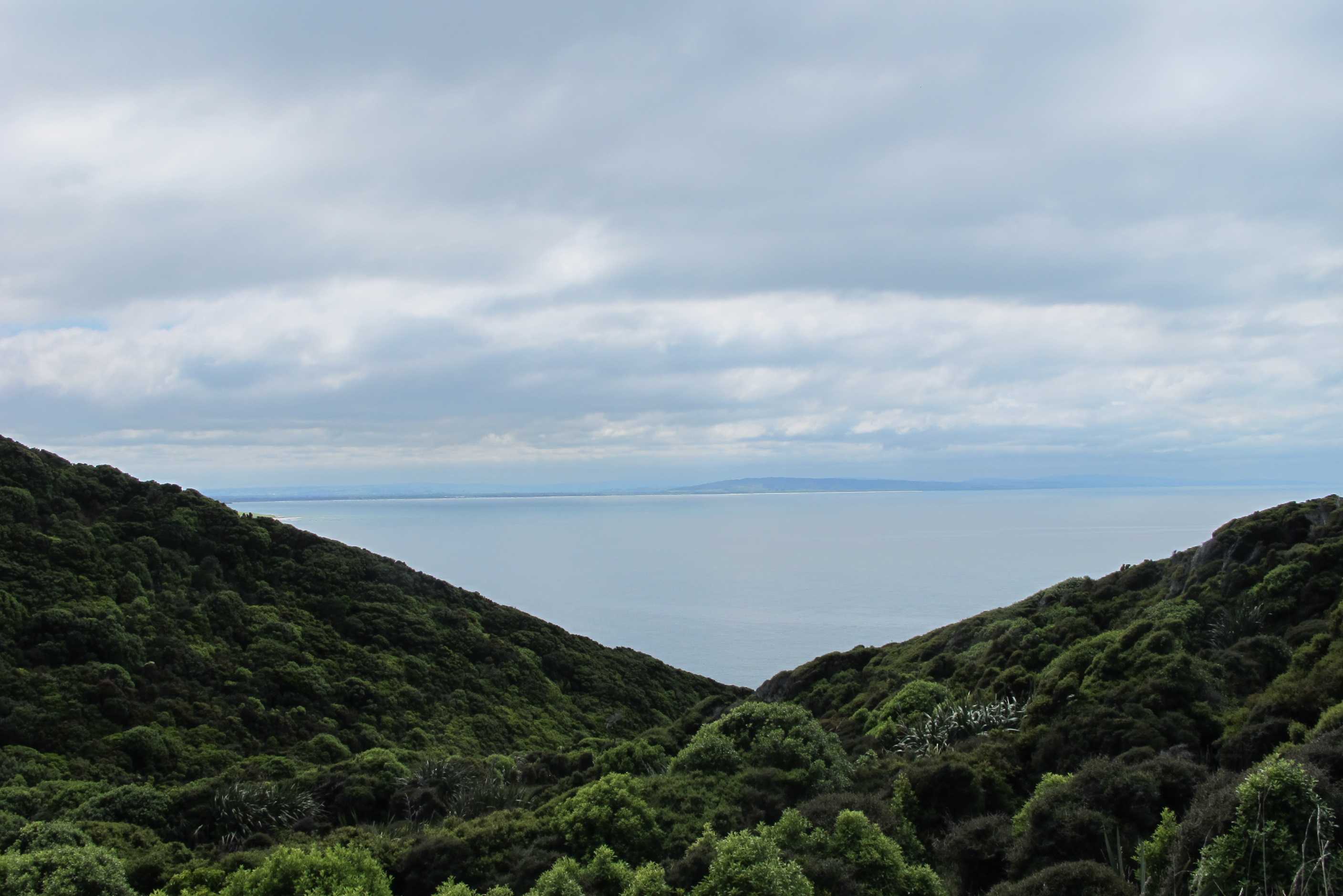
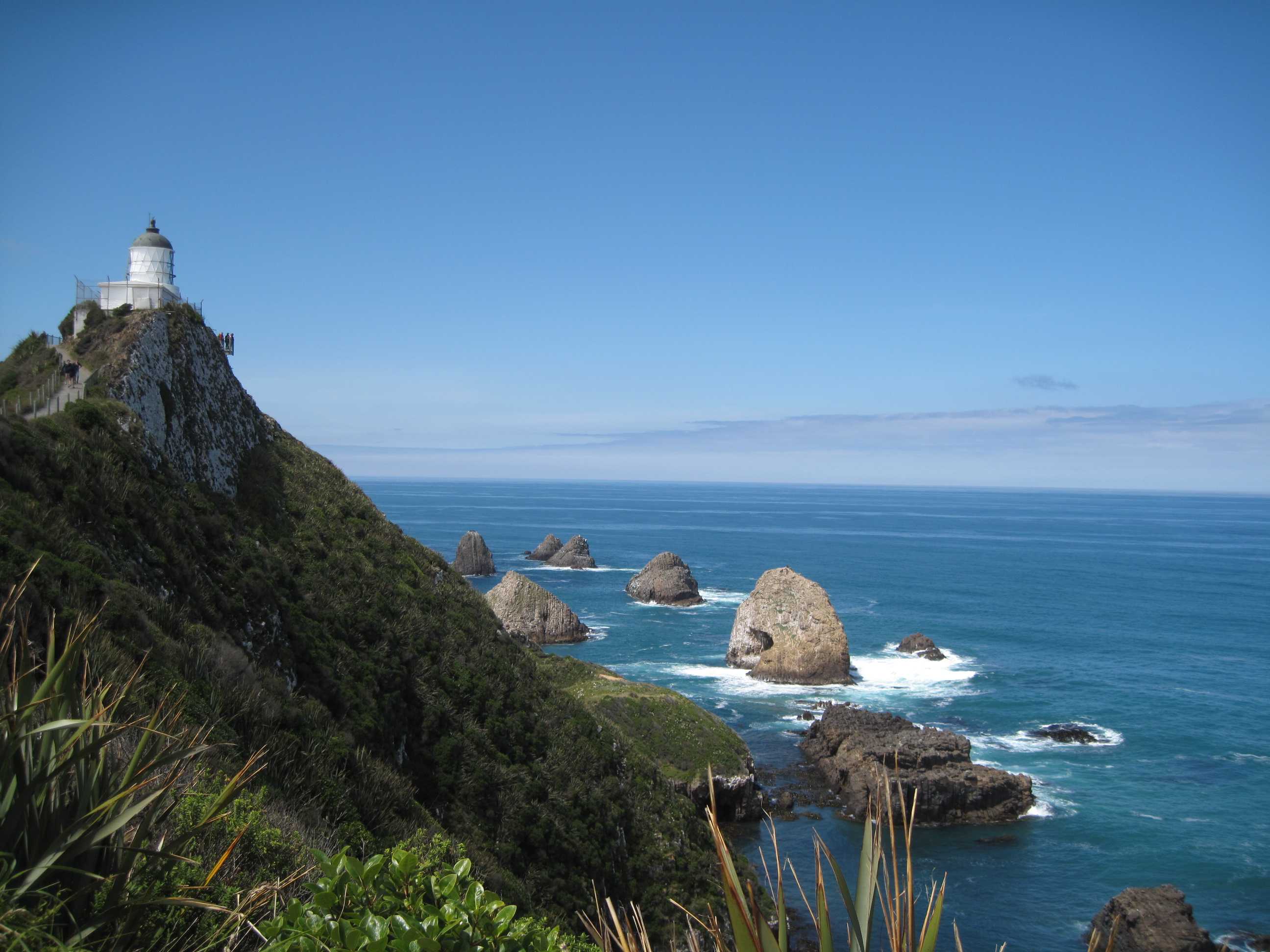
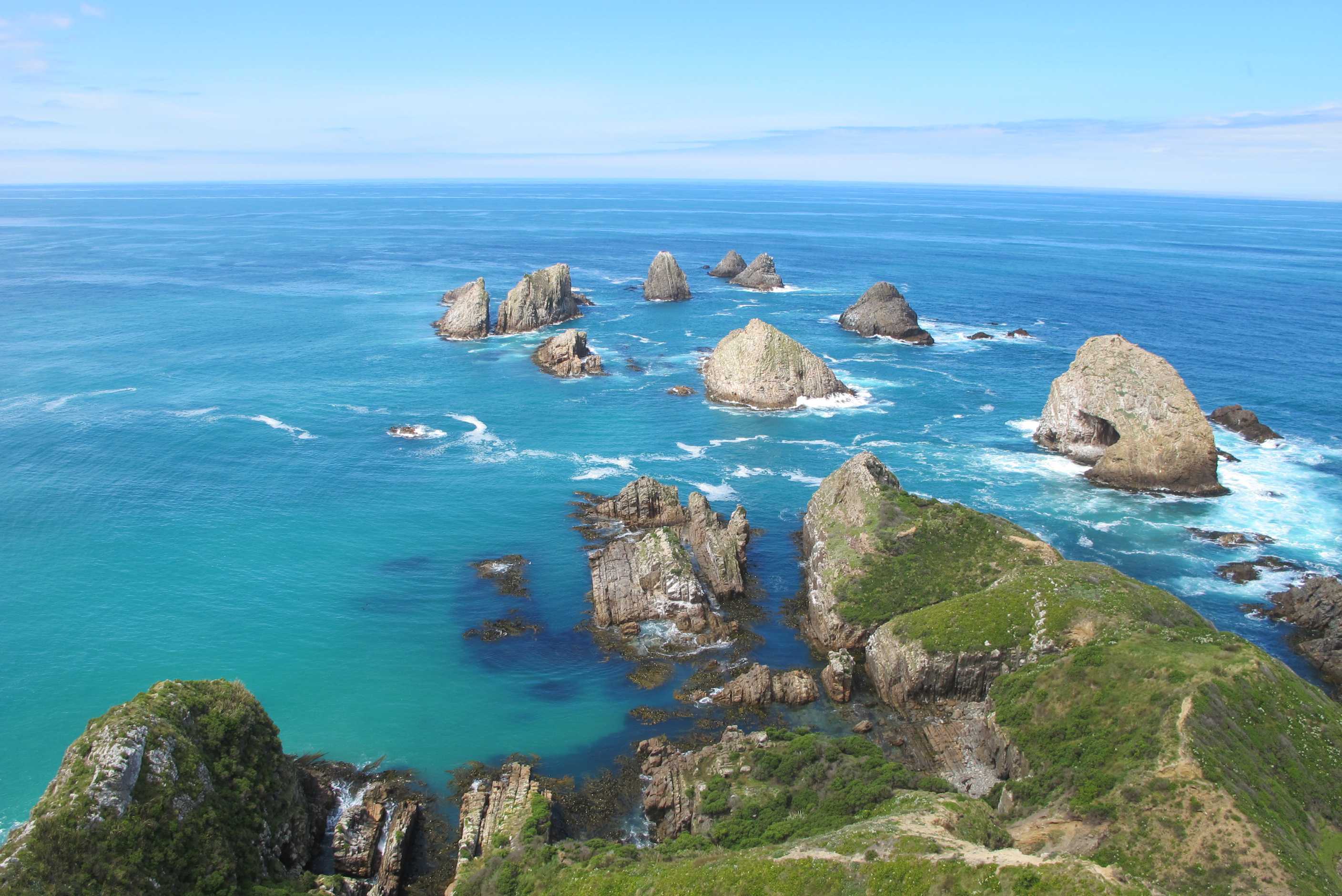
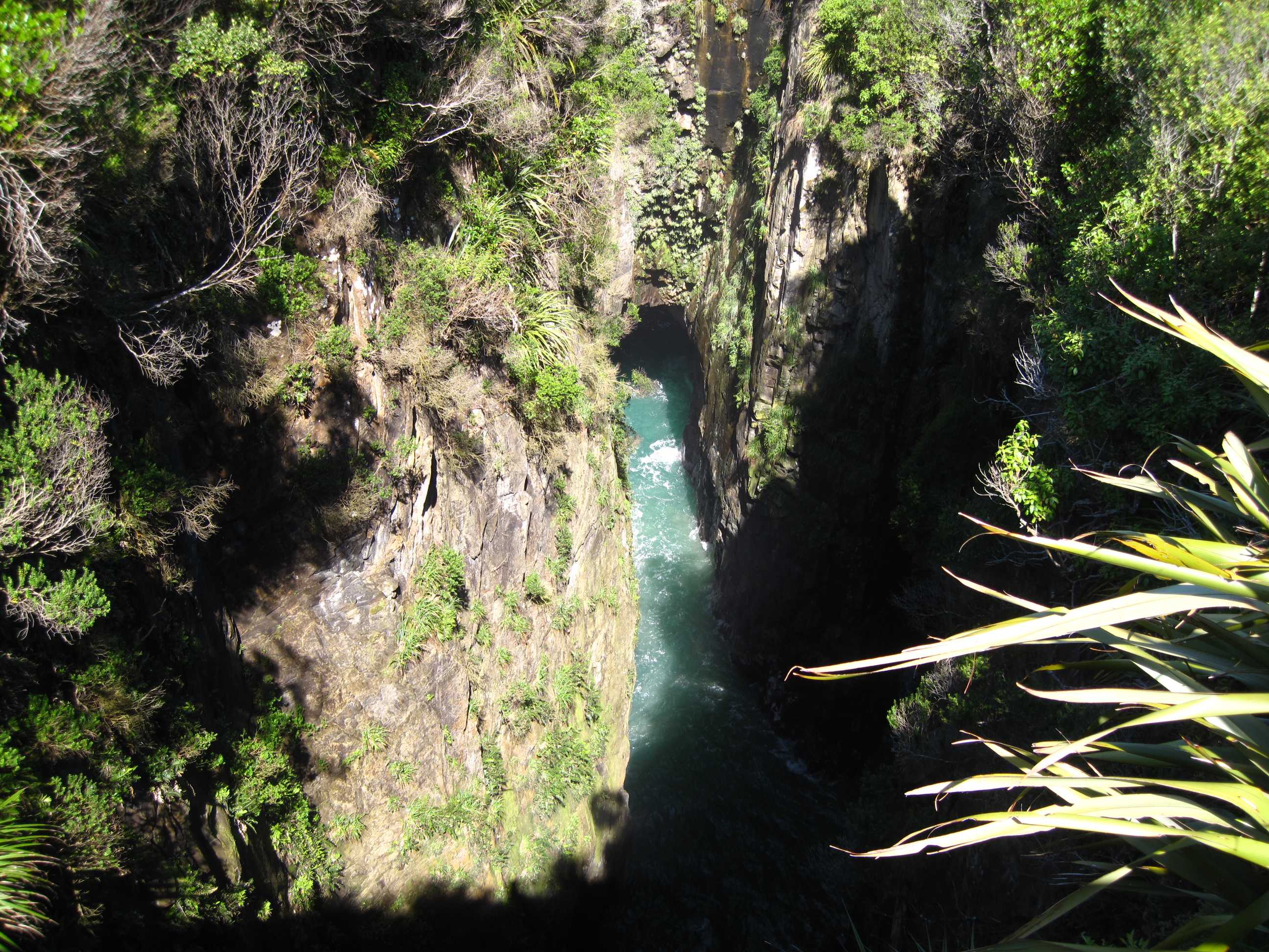
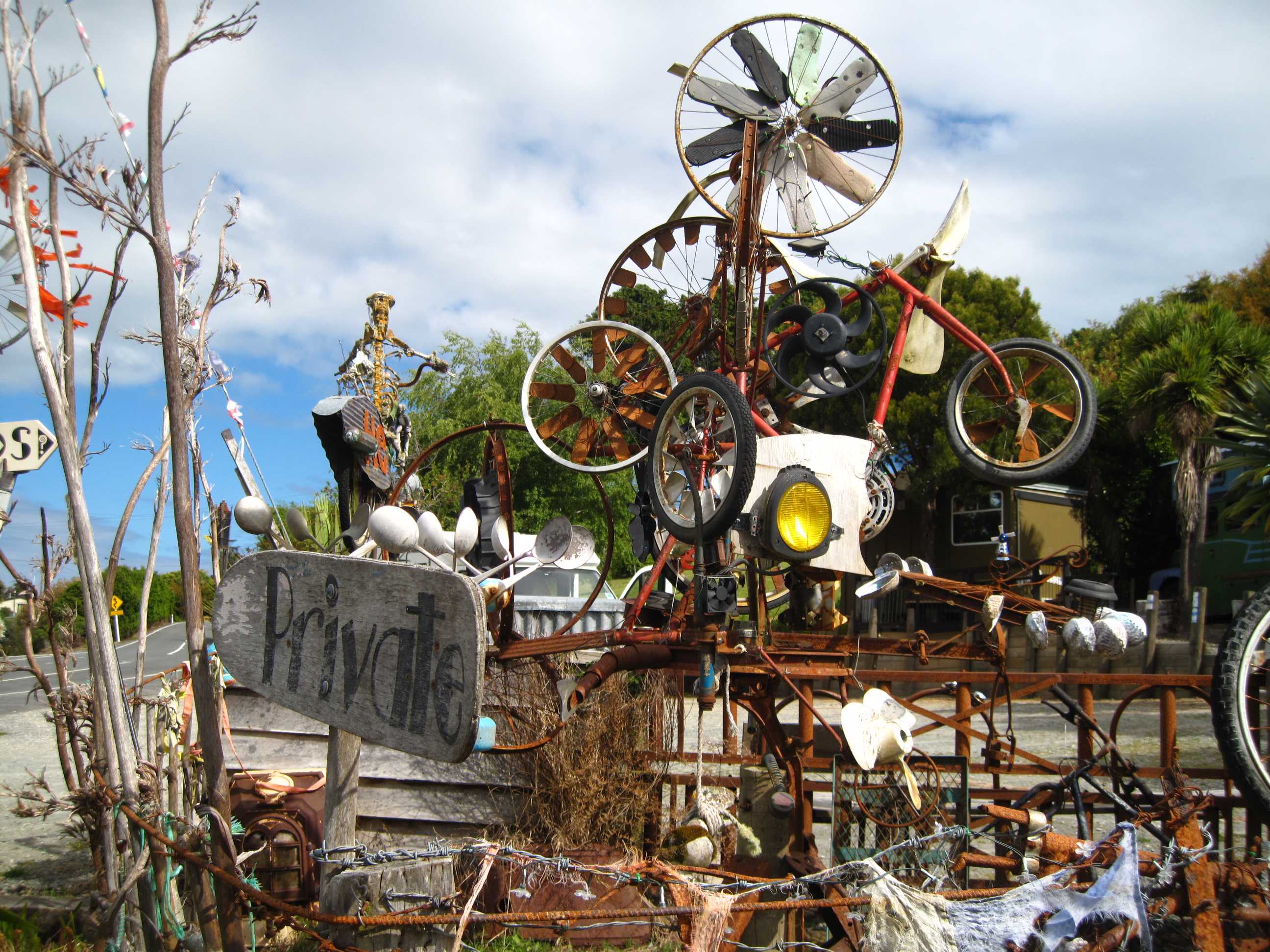
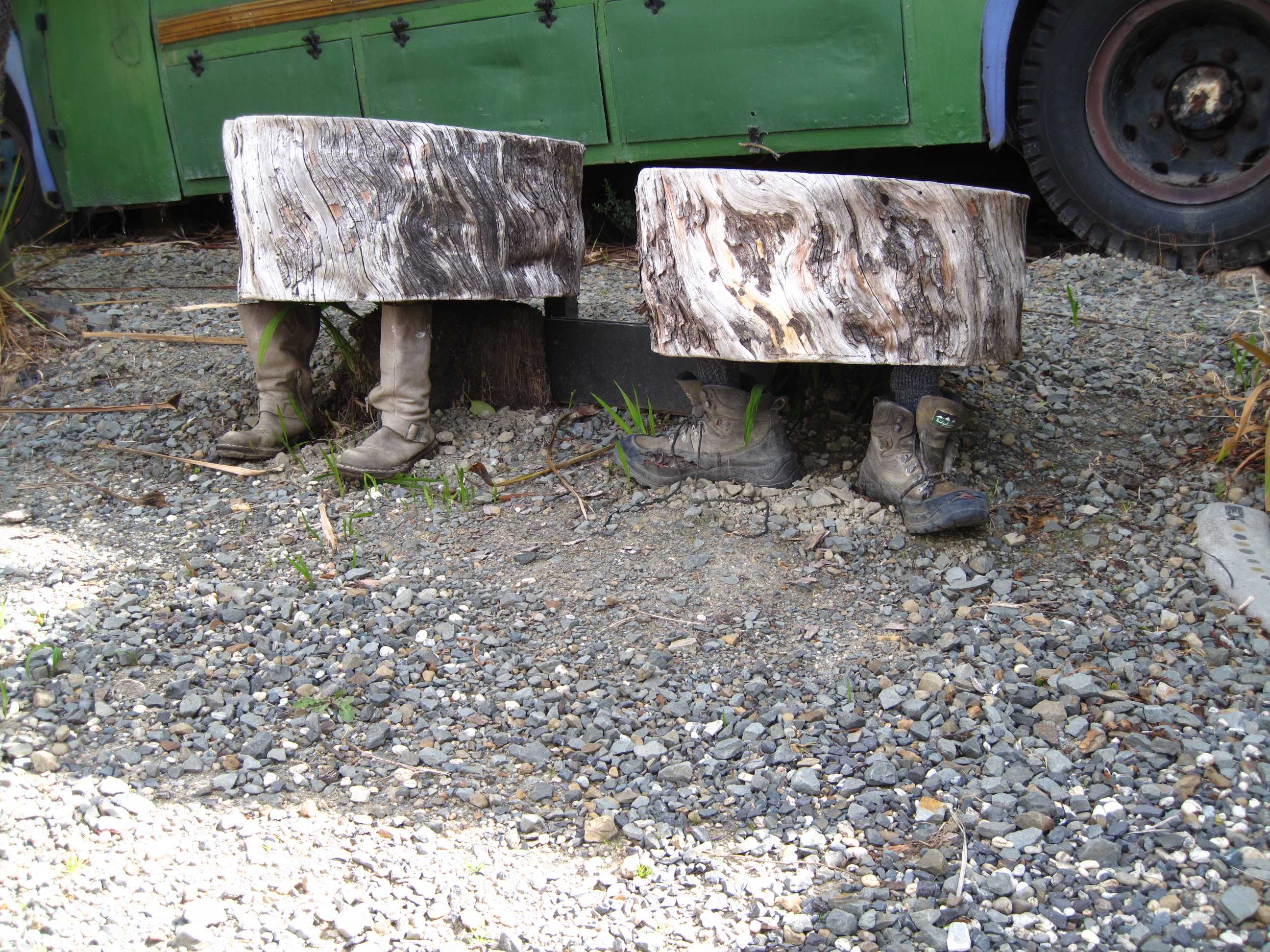
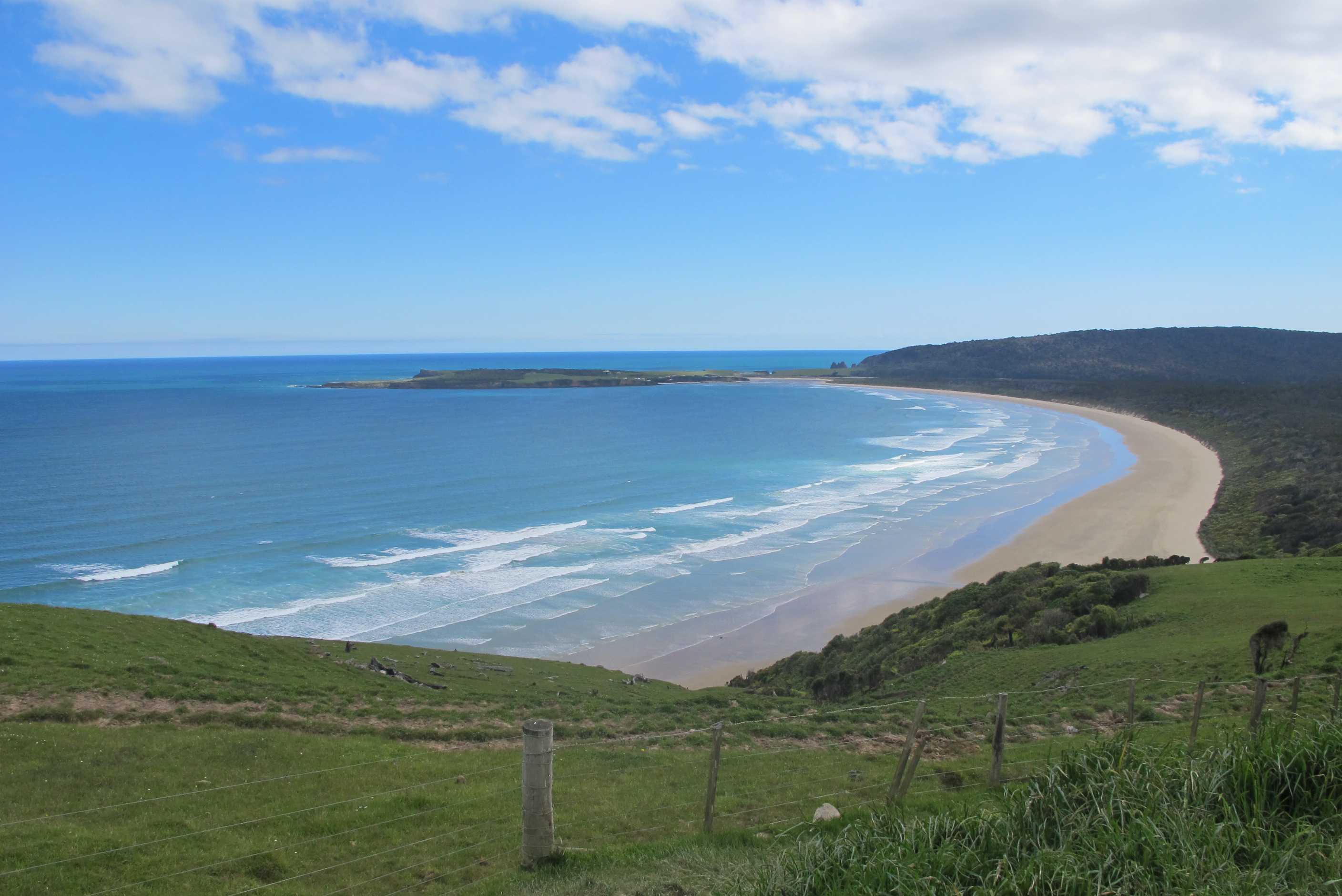

Woke up to a beautiful peaceful sunrise, with only the sound of birds and waves, could get used to this! Left quite quickly for tunnel beach as we needed to be there at low tide. We had a massively downhill walk to the base of a hill, with incredible views along the way. It was definitely a wow! place. Wonderful cliffs and headlands, a large sea arch/tunnel, with water churning through and crashing waves. There also was the entrance to a tunnel with 50 odd steps going down and through the cliff wall to the beach below. This was carved out by a man many many years ago, to allow his daughters access to the beach! What a father, sorry kids, hope you don't feel too deprived!! So much work, I can't help but feel kids would be grown up by the time he was finished! Wonderful at the bottom, small sandy beach with massive, beautiful cliffs, huge boulders and caves. One of which had a seal sleeping in it. Then back up to beat the tide. Well, the climb back up nearly did us in, but boy was it worth it!
Then on to Nugget point. Another walk, though not so long, to the lighthouse and the most amazing views. Seals way below us to keep us entertained. Another great place.
Then on to Jacks 'blowhole'. Not really a blow hole at all, but a massive hole in the ground, very deep and water churning in relation to the waves although 200m from the shore. Quite a sight, but another long up and down walk! My legs were beginning to shout, "no more" by now! Then we passed an amazing looking place full of weirdness! It advertised coffees as well as a look around "bus". Sadly it was closed, Wednesday!, but plenty fun things to see outside.
Decided we had to call in at Curio bay on the way to our camp site in Invercargill. It is a huge tidal shelf covered with petrified trees and rock pools. Amazing. Luckily we managed to arrive at low tide again. So much of what we want to see is dictated by the tides, we missed out on a great cave walk because wrong time of the day. We decided to wait for a bit to see if penguins would come, but it was too early for them we then had to leave to make the campsite before it shut.
Late arriving and had much to do, so a late night, but another amazing, adventurous day! Planning a quieter one today with a walk then on to Te Anau, not far. Hope to do some shop mooching, it's been a while, then a lake trip to see glow worm caves, hope it works out! Then Milford and doubtful in next couple days. Lots to do and see but not too much driving. Very exciting, as this area is long anticipated!
Woke up with no other person, apart from ourselves, in sight. Then started out, down a windy narrow little beachside road for 6 kms then onto SH1. Pulled into a petrol station to get some diesel and Sue noticed they also had a dump station, so emptied the waste and filled up on water. Then down the road Sue bought some groceries and the nice lady at the checkout brought them to the motorhome for her, how's that for service? Later on we stopped at a deli and Sue bought Neil a Chicken Satay pie, it may sound strange but it tasted yummie. Sue did some driving while Neil feasted on his pie. After the pie-fix we decided it might be a good idea to see some sights so we set a course to Tunnel Beach.
Tunnel Beach is amazing. It is on private property but the owner has let the DOC (Department of Conservation) put a path down to it. At the end of the path is a huge, strangely shaped outcrop of land jutting into the sea. The tunnel in question is the only way down to the beach. It is about 50 or more metres in length and was hewn out of the rock by a father who wanted his daughters to be able to get to the beach! Going down the steps you navigate a few rocks and then you are on this fabulaous beach. We rounded a corner and came across a large fur seal sleeping in a large cave. The bottom of the tunnel is underwater at high tide, so we were lucky it was not far off low tide.
Then on to Nugget Point, which has a lighthouse at the end of a spit of land. The views going up to the lighthouse are fantastic, but do nothing to prepare you for the jaw-dropping views when you get to it, the "nuggets" or small islands at the end being hidden from view until the last minute. There is a viewing platform that is perched over a large drop that adds to the excitement. This is one of the most beautiful places we have ever seen.
All good things must end and we left to go to "Jack's Blowhole". This is at the end of a 30-minute trek and is a huge hole in the ground well over 50 metres across and maybe 20 metres deep, at the bottom of which is a hole leading out to the sea. Whenever a large wave hits the the other end of the hole sea comes rushing into the hole. On a really wavey day it must be awesome. Today it wasn't too wavey but the sound of the water was thunderous nevertheless.
We then drove to Curio Bay, where there is a petrified forest on the beach, or rather tide shelf. This is weird. The wood looks like wood, but when you touch it it is obviously stone. You can see individual tree stumps as well as logs. Curio Bay is where Yellow Eyed Penguins come ashore at dusk. Neil really wanted to see these birds, but in the end we had to leave before they made an appearance as we needed to get to the TOP10 site in Invercargill that we had booked. Had we not booked we would have stayed and freedom camped - pity. The girl on reception at the site, Laura, used to live and work in Marlow, just down the road from Reading where we used to live.
night |
kms |
Overnight Stay at |
Cost/night |
Facilities |
Wow Factor |
Photos |
|---|---|---|---|---|---|---|
| 25 | 185 | TOP10 Te Anau - Good site on road next to Lake | $40 | 4 | 3 |
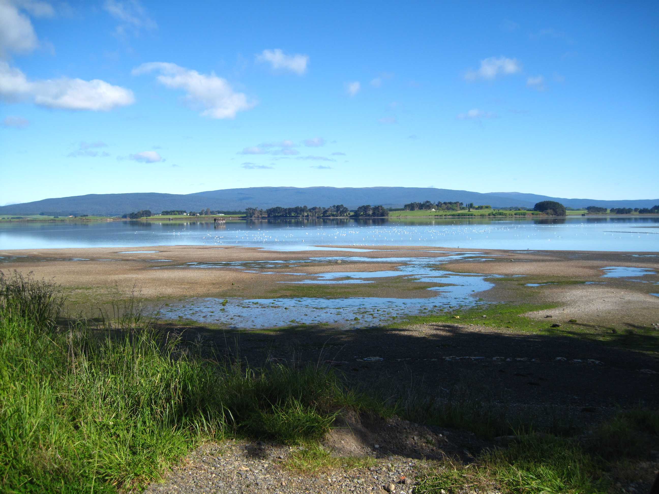
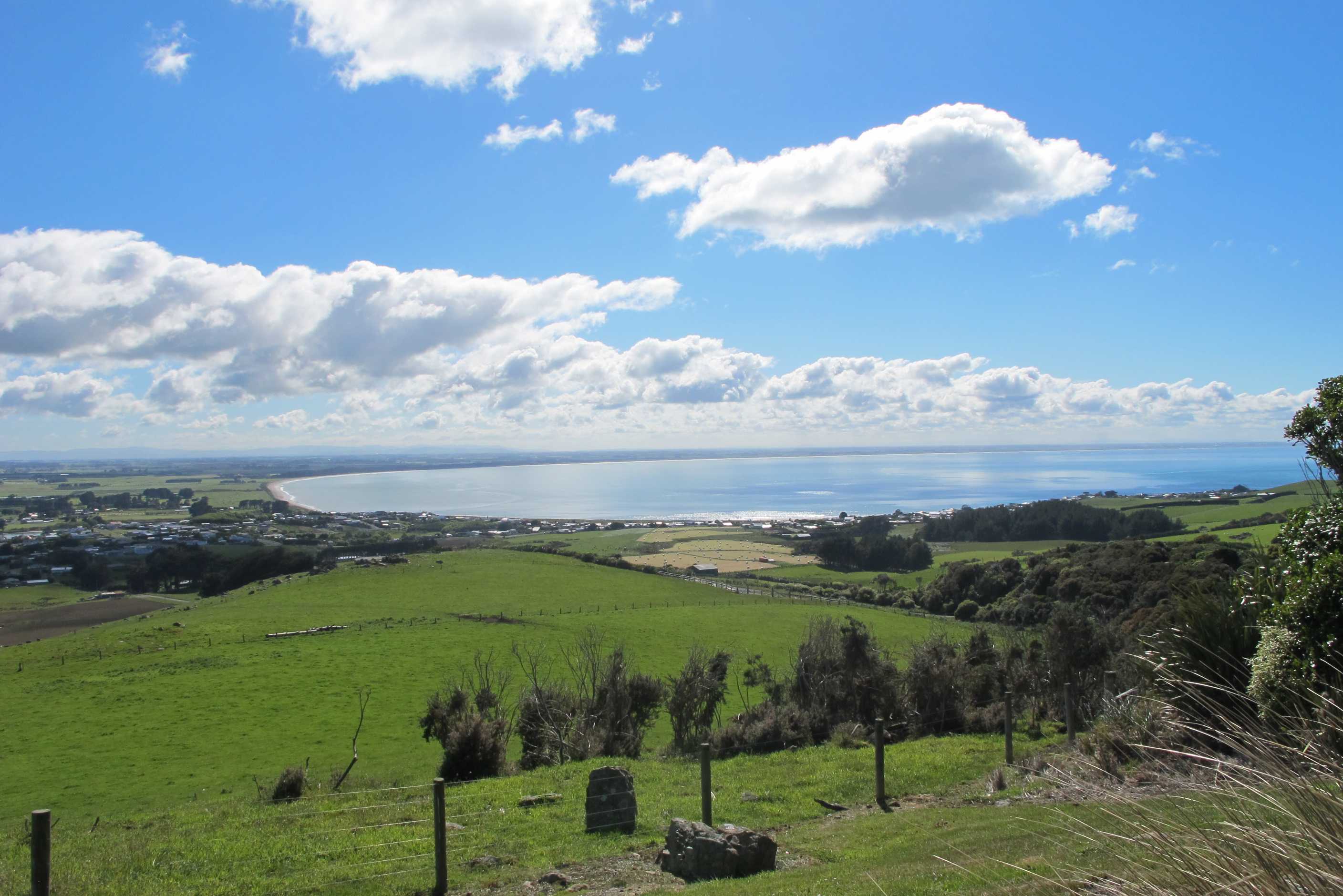
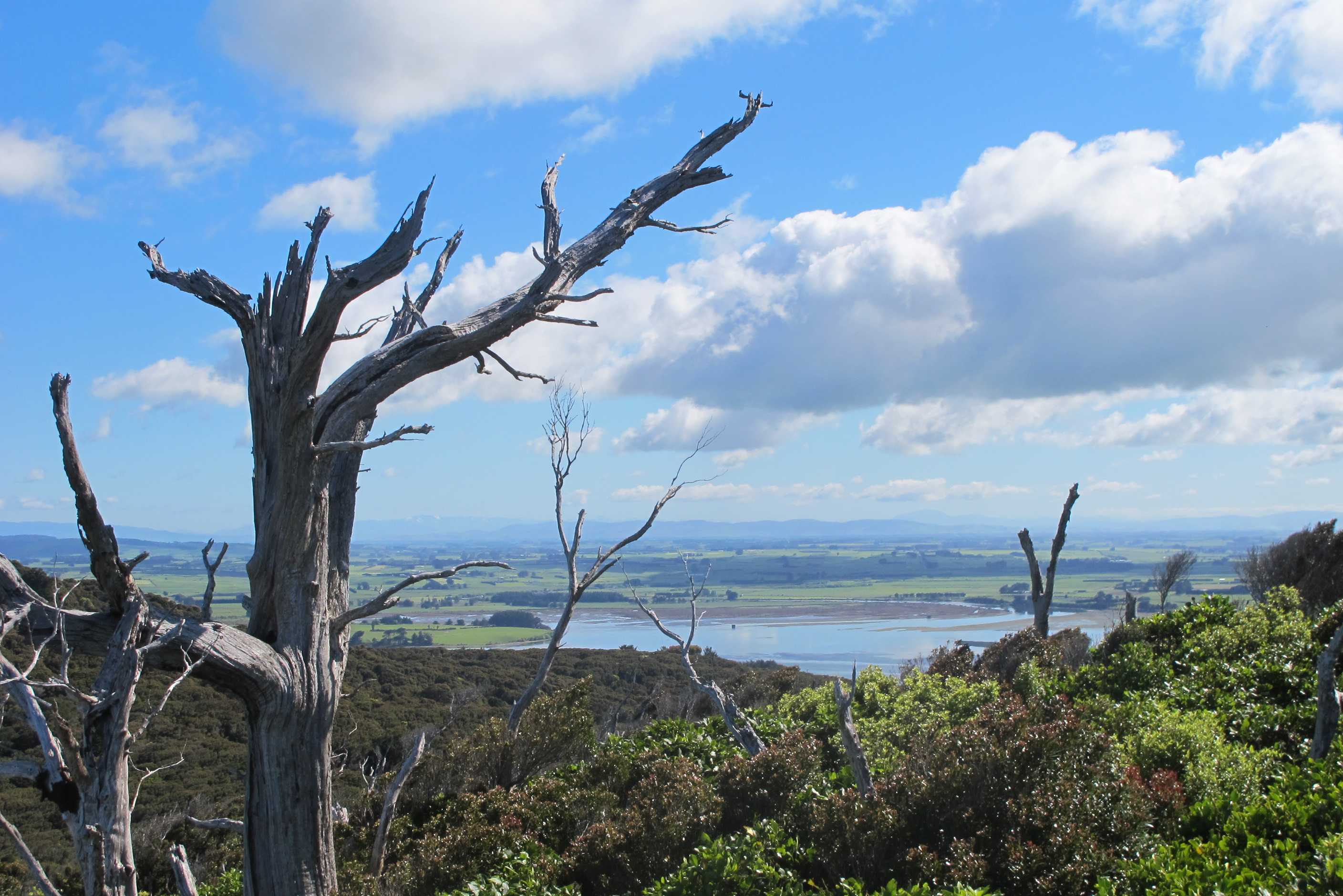
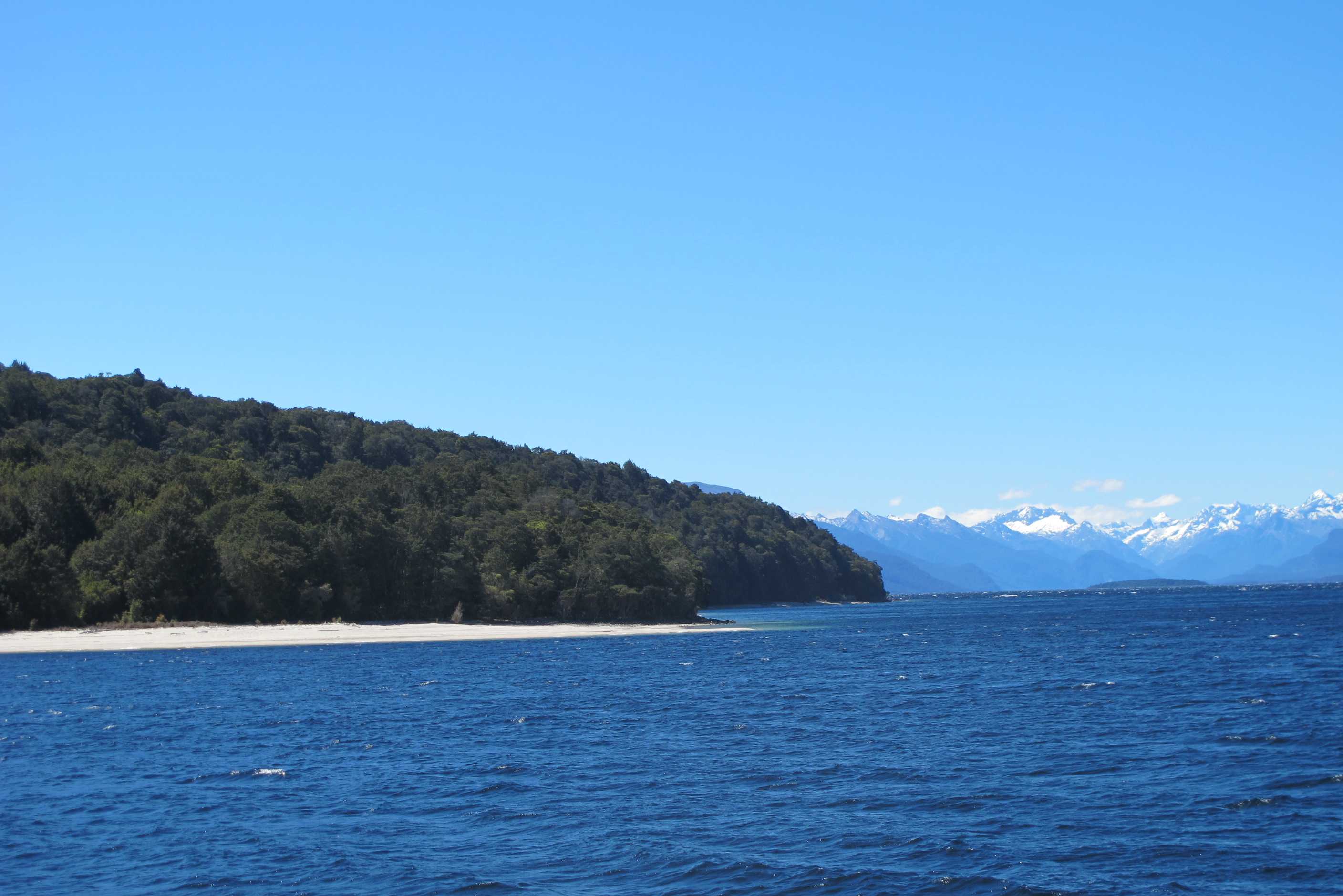
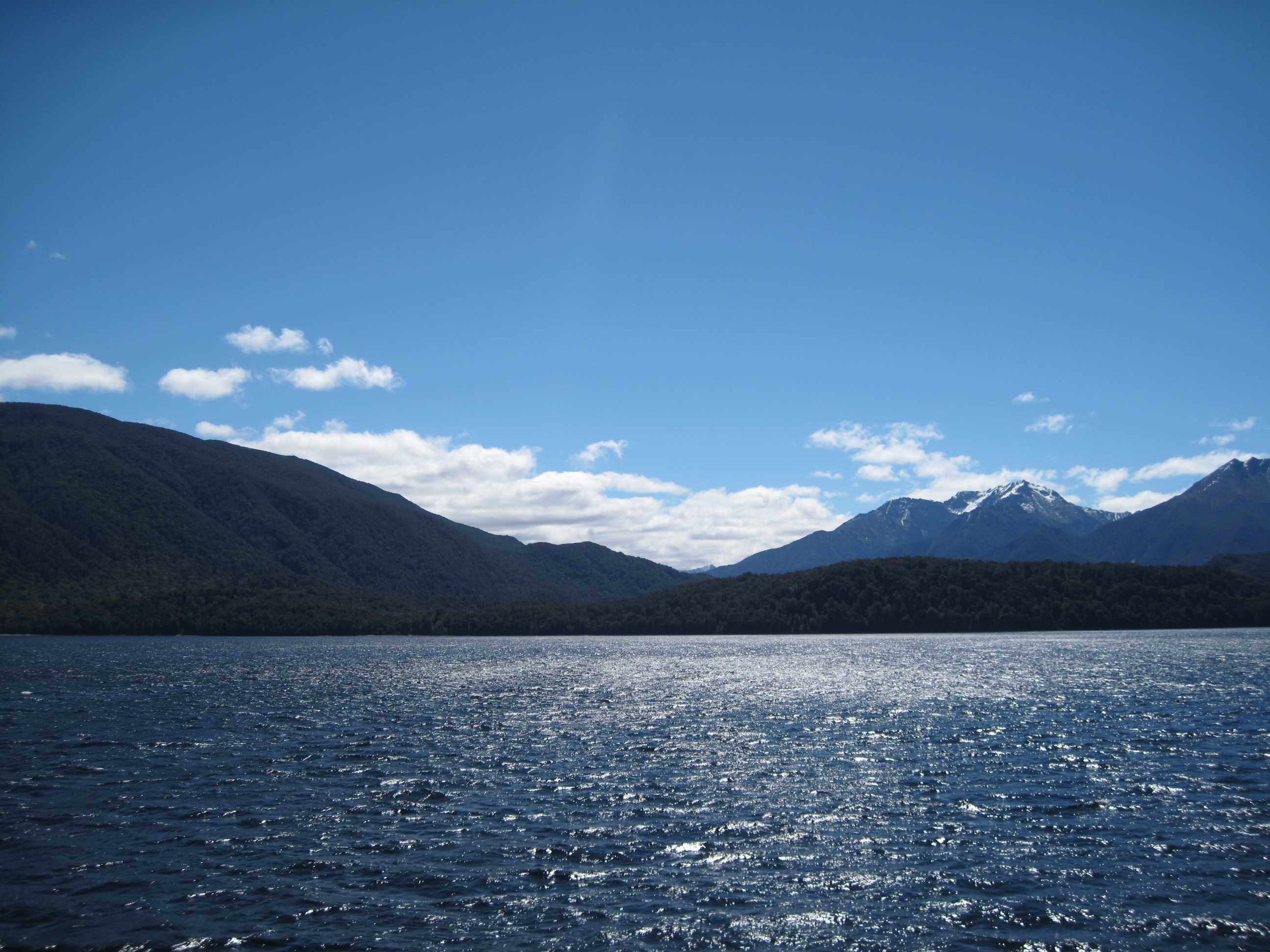
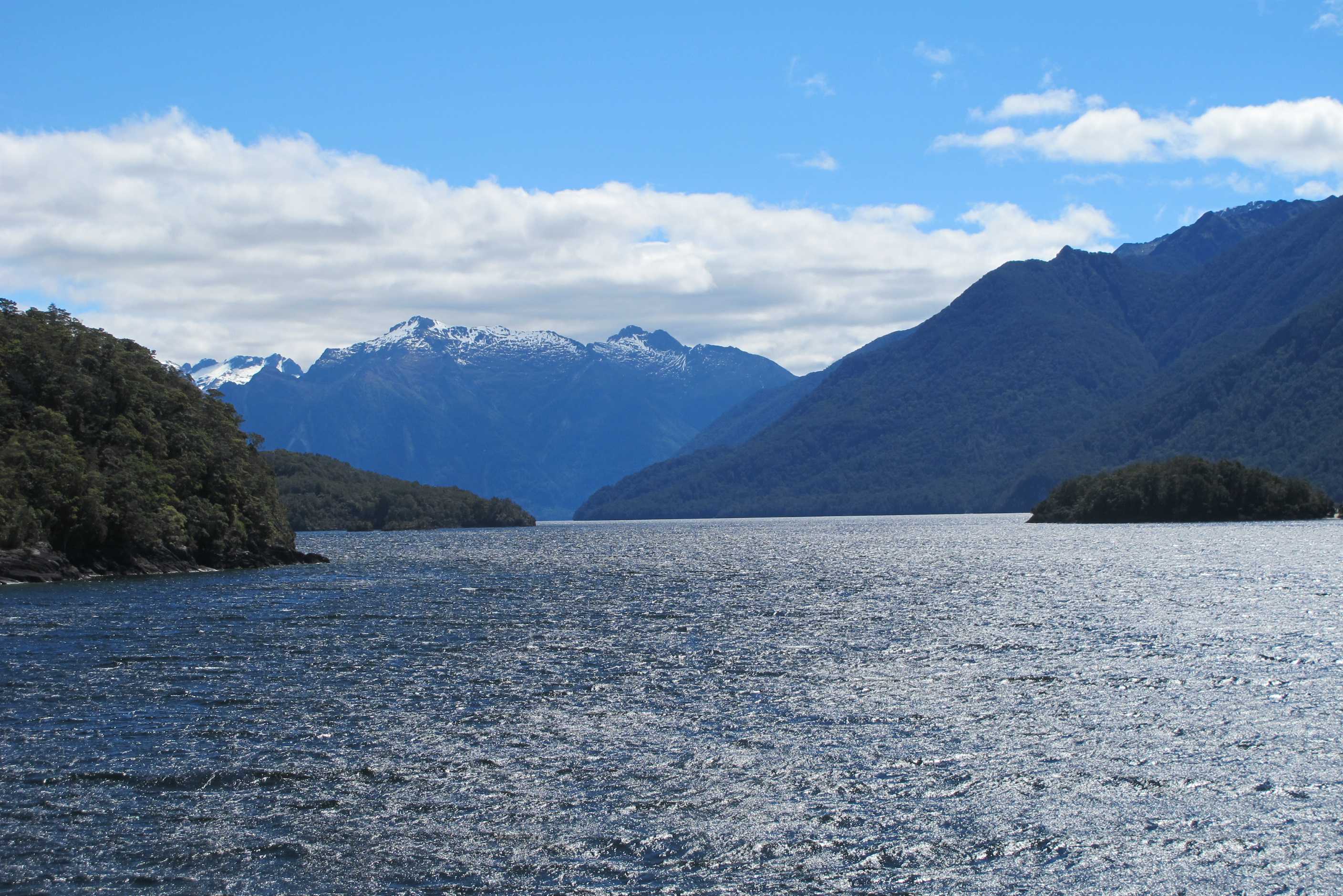
After a late night had a leisurely start. On our route to Te Anau, we stopped for a lovely walk through gorgeous woodland to a lookout. The bird song as we went through was amazing. I am not good at spotting the birds but I did see a pair, who I assume were courting, the display was great. The lookout was pretty impressive too!
Then took turns with the drive to Te Anau which was about 2 hours, again through lovely scenery. When we arrived we both thought it was a lovely little place, and the lake and snow capped mountains topped it off. We had a little walk round a couple of shops, had a quick toasty for lunch, and booked a couple of trips. One for this afternoon, a boat trip to the glow worm caves. The other one, a day trip to doubtful sound tomorrow. Will be lovely to do something different.
We then checked into a very pleasant campsite, got sorted then walked to get the boat. It was a lovely trip on the lake but a little windy! Scenery magnificent! The caves were fab! It was guided and no photos allowed!! We ducked low to get in, then walked along a path next to and over a stream. We saw waterfalls, amazing rock formations and then got in a boat in total darkness and silence and there were the glow worms! Oh my goodness, so many and so close to us, an incredible experience. Then back through and saw lots other things, a really great trip.
We are now showered and, surprise, surprise are walking in to get something to eat in a restaurant!!! Hope it's good? Back now, lovely meal. Only down point, I really wanted the renowned crayfish from the area but they only did it as part of a dish for 2 and Neil is not a fan! But Lovely anyway, especially as I had to do nothing other than eat it!!! Bed now as very tired.
Arrived very late last night, so took our time leaving today. Did a few chores and the blog. Then called in at Mores Reserve in Riverton and did a 30-minute round-trip walk to the lookout. Went through a lovely little wood, echoing with bird-song. The Kaka bird has a very distinctive and interesting call. Then at the lookout we lookedout over the South coast and could see Stewart Island in the distance. Then, passing some lovely red tussocks, legged it to Te Anau, a lovely little town on the side of the lake (the largest body of fresh water in the whole of Australasia).
Called in at Real Journeys to see about booking a trip to the Te Anau glow-worm cave and a cruise on Doubtful Sound tomorrow. Since we were booking two activities we got a 20% discount! The trip to the glow-worm cave involved a 40-minute journey across Lake Te Anau. There was some beautiful scenery and the weather was perfect, if quite blustery (Sue would say it was blowing a gale). The cave was fantastic, we started out walking, then half way through we transferred to a boat that was pulled along by the guide in the pitch black. The glow-worms dotted the scenery as if they were green stars and it really was magical. It would have been nice if the walk through the cave was not as rushed, so we could see more of the fantastic way the water had carved its way through the limestone, but we really enjoyed the tour nevertheless. Off out soon for dinner.
night |
kms |
Overnight Stay at |
Cost/night |
Facilities |
Wow Factor |
Photos |
|---|---|---|---|---|---|---|
| 26 | 122 | D.O.C. Cascade Creek overlooking small river and mountains | $26 | 1 | 3 |
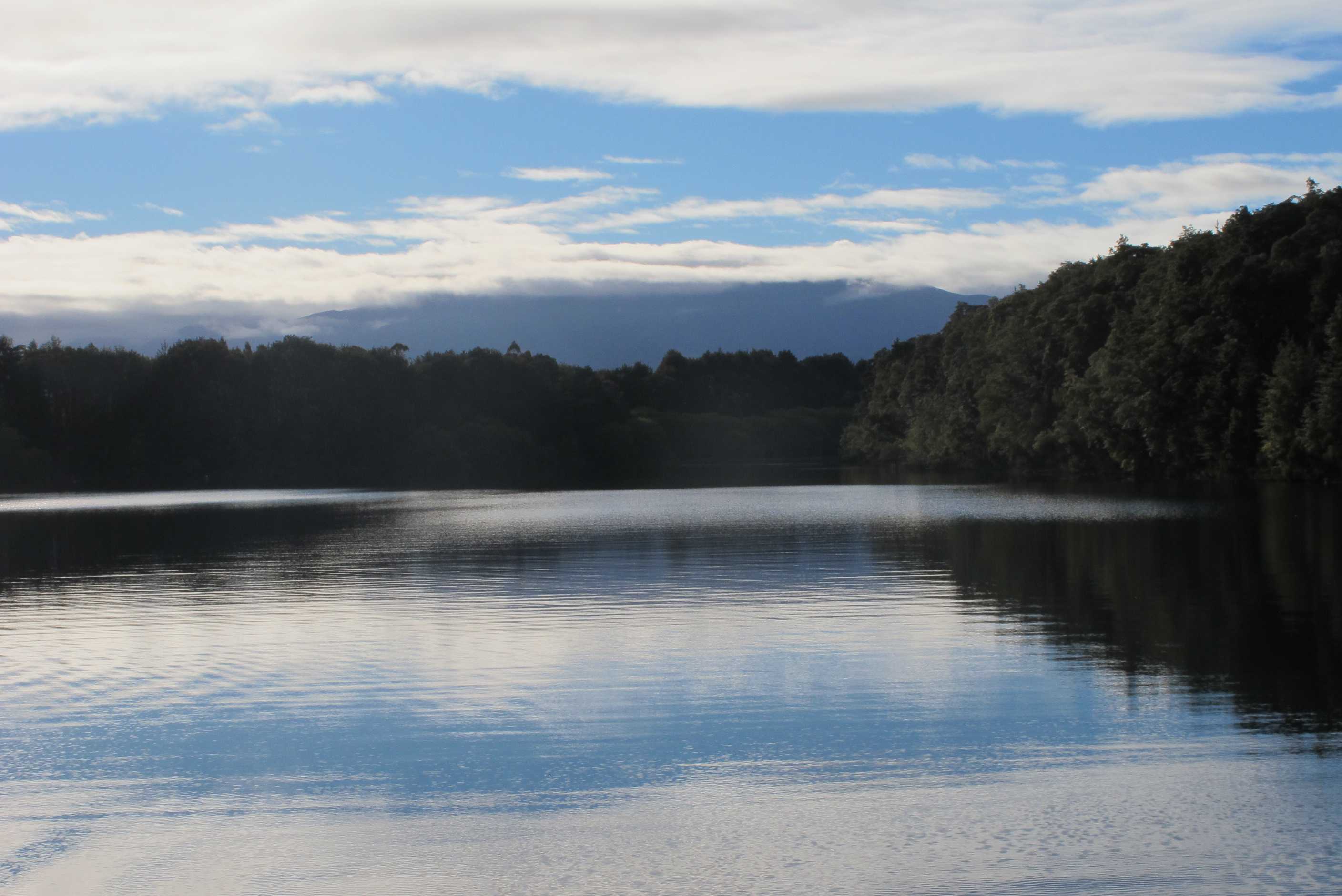
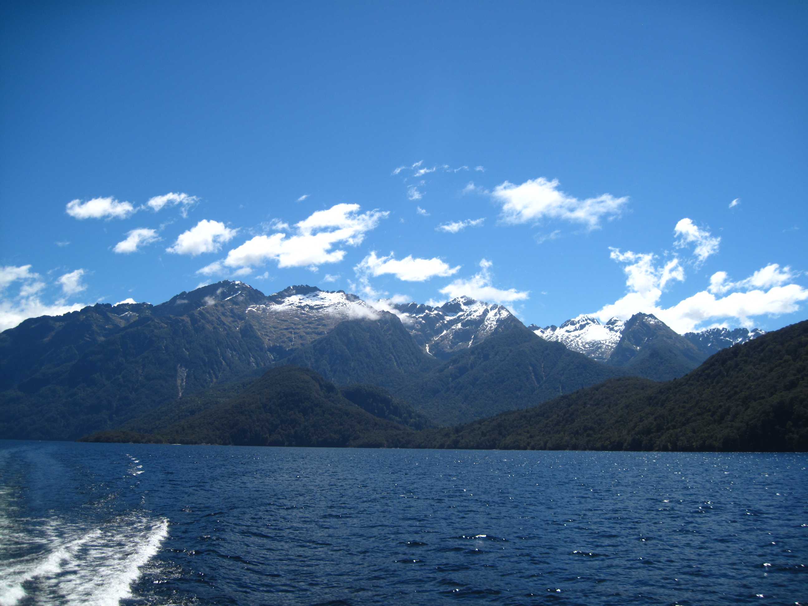
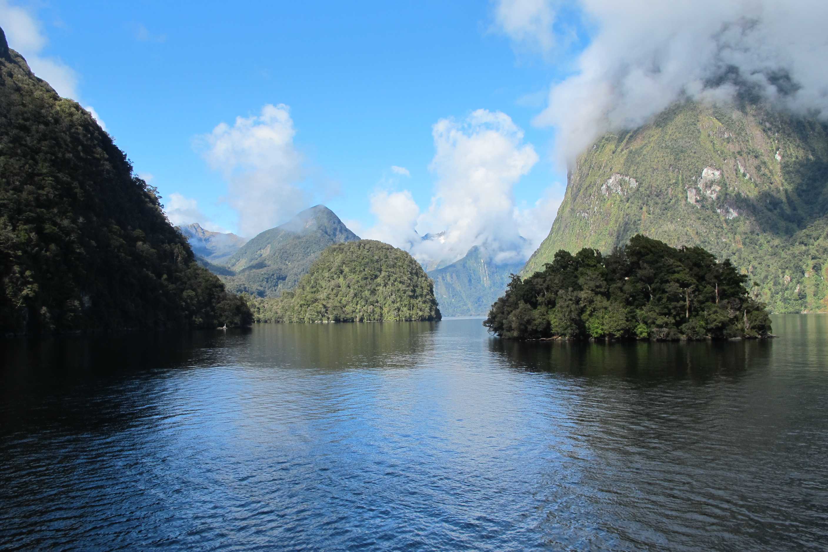
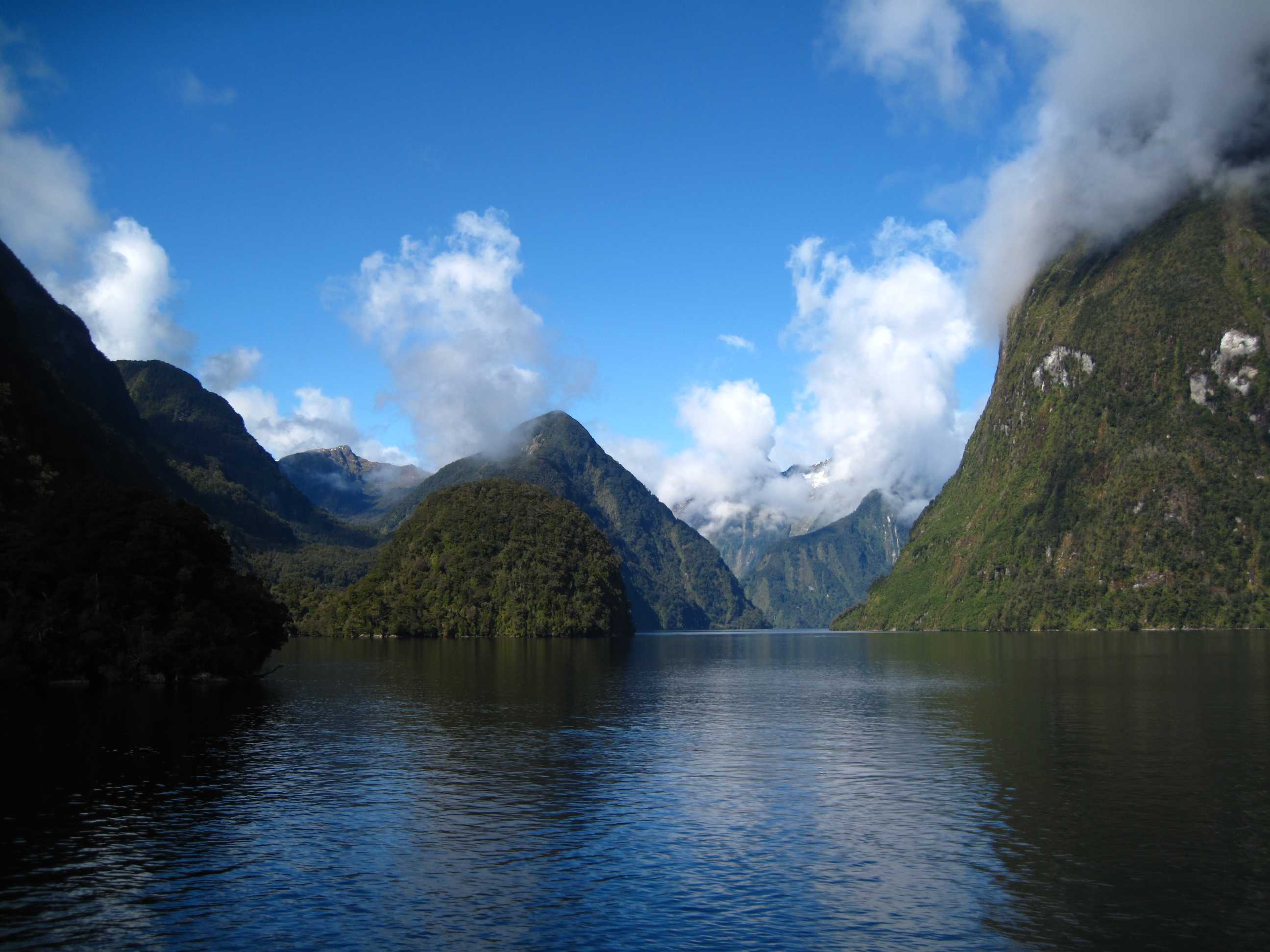
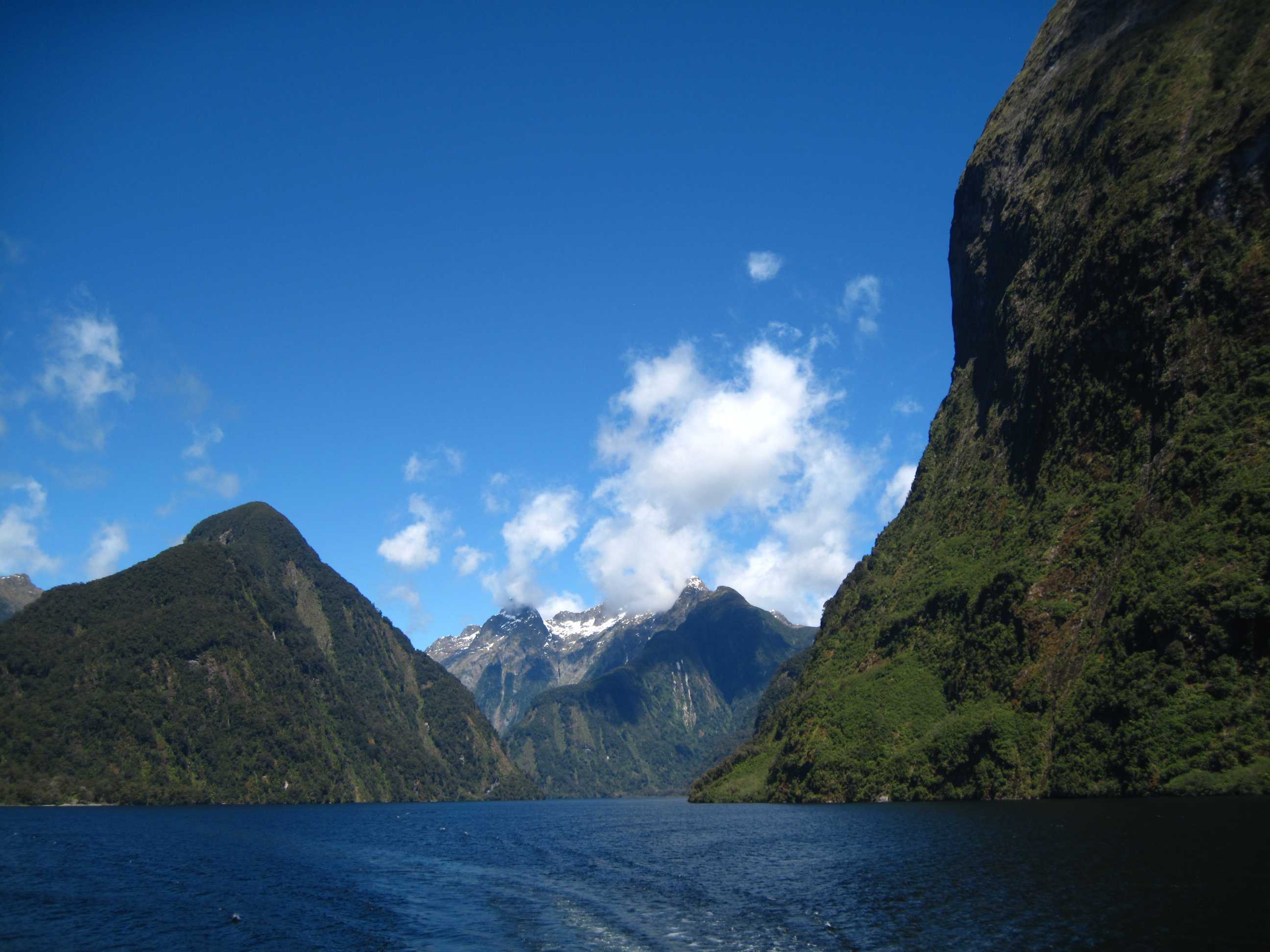
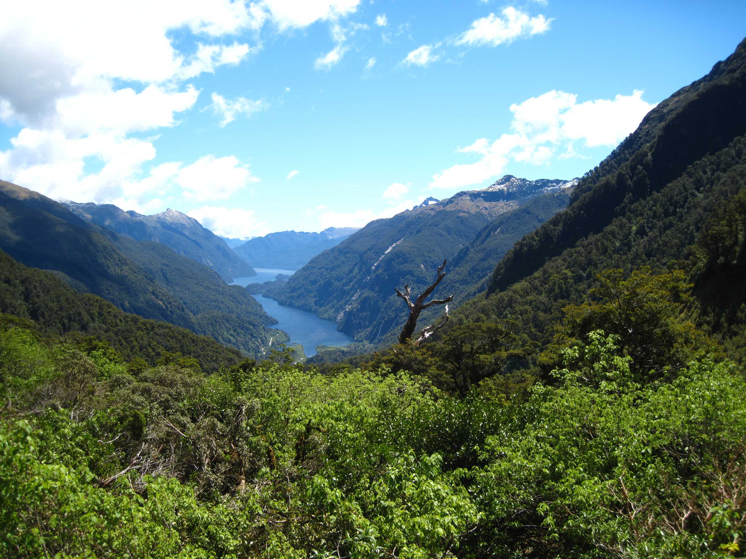
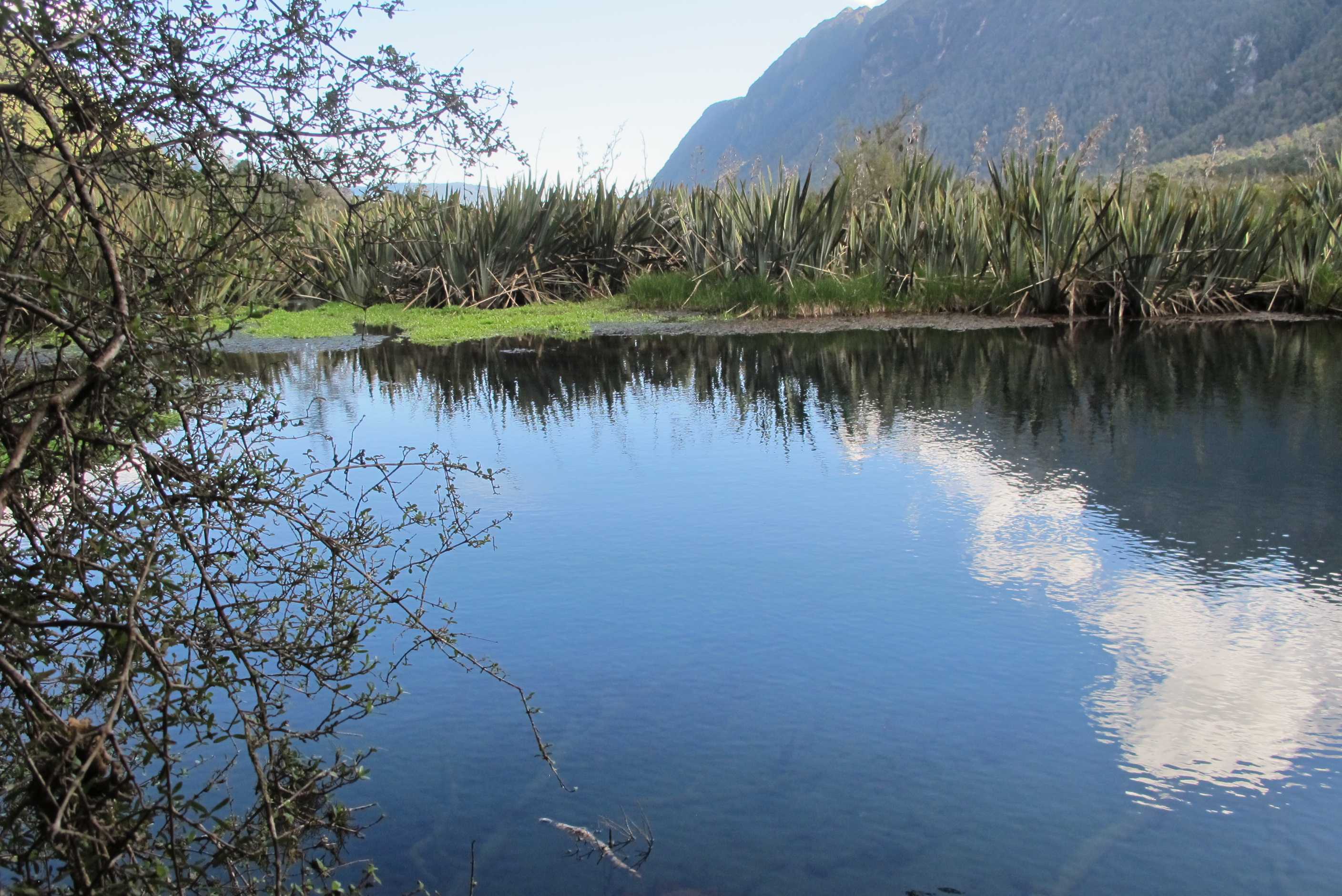
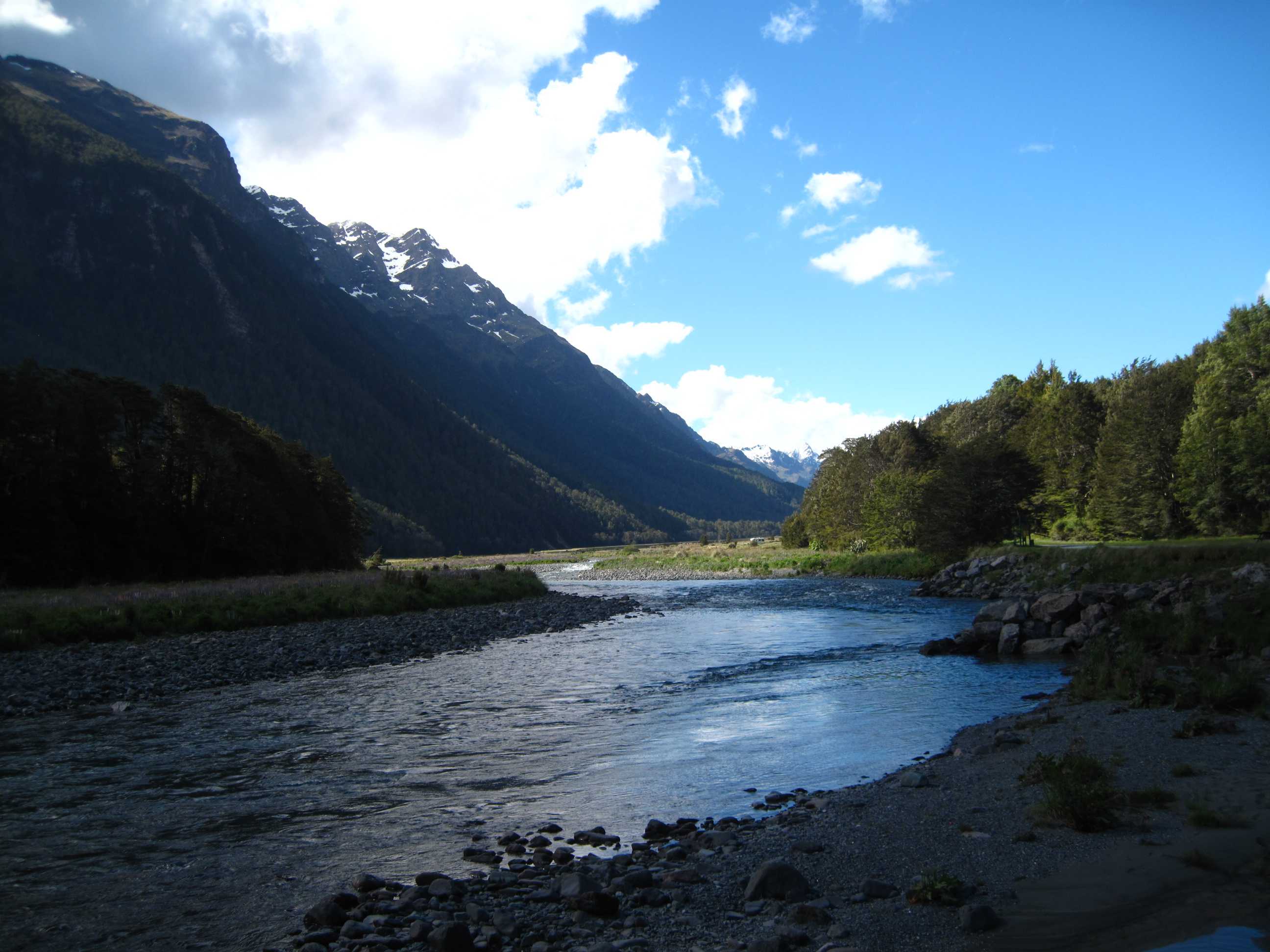
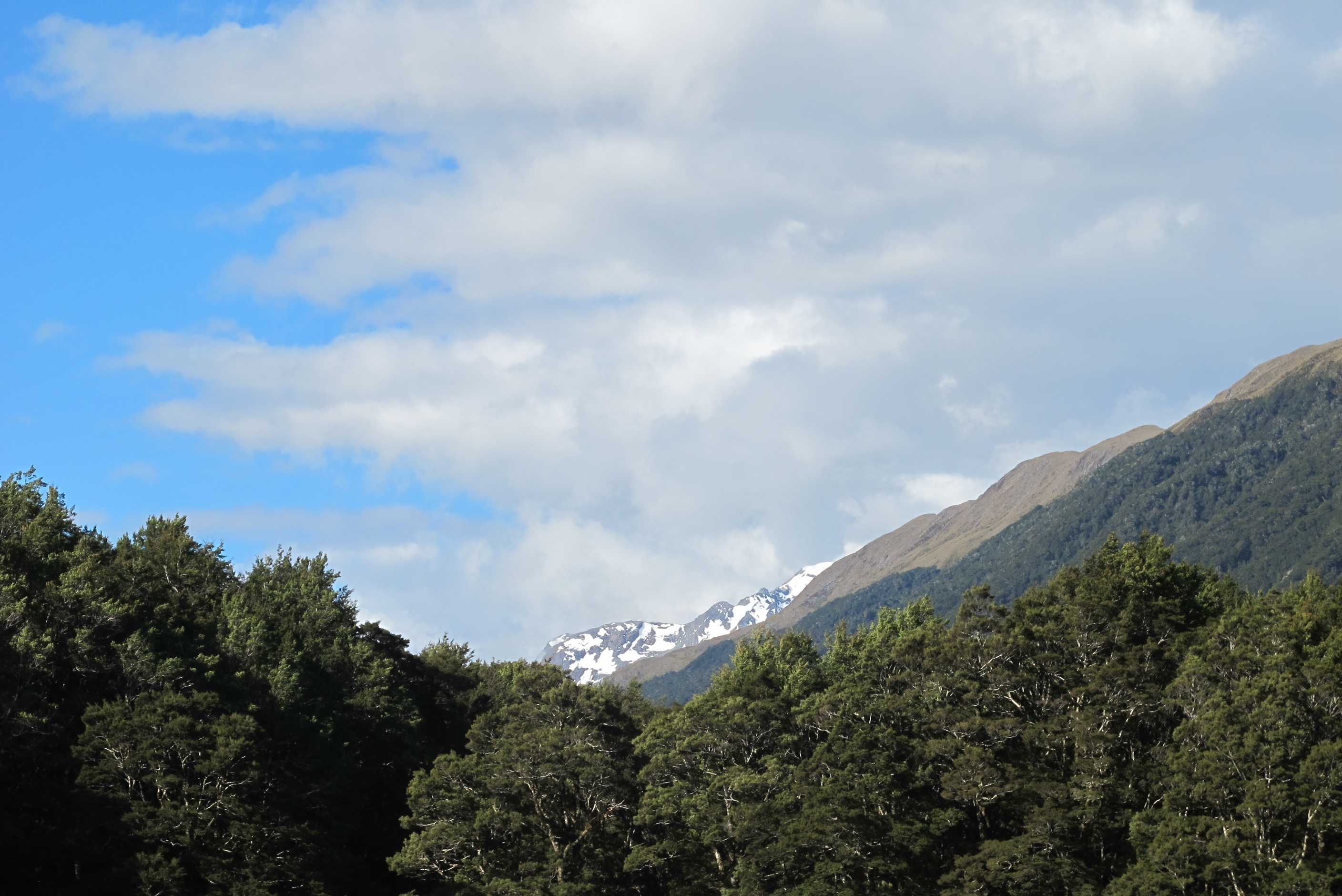
Early start so we could drive 20 minutes to catch the ferry for the start of our day. Managed to get Neil moving and we left on time!! Arrived at Manapouri and signed in then shortly boarded a very modern catarmaran. Loved the hour's trip across the lake with great views. Slightly cloudy but this would soon clear. Tea and coffee was provided, so I did my usual waitressing job and kept Neil and myself well supplied. We got chatting to a really nice couple from the south of England, spent most of the day chatting and swapping stories of home, family and travels here. At the end of the lake we boarded coaches, for the trip over the pass to Doubtful Sound. There we got on another lovely cat, with lots of space to be in or out, we always chose out even though it was quite windy and chilly.
Well, words cannot adequately explain the beauty of what we saw. Majestic is indicative. Nice and calm till we reached the Tasman Sea, a little choppy but we enjoyed watching seals on an island. We sailed back a slightly different way, round islands and up side branches (arms). After a serious overload of awesome scenery, we left the boat for the coach and second boat trip back to Te Anau.There we stocked up and set off for Milford. Beautiful drive half the way, stopping at mirror lakes. It was windy so less than ideal time to see them, but was fab anyway. May well stop for a look on the way home tomoorw as well. Parked up at a lovely site, had a nice meal and ready for an early night. Middle of nowhere so no Wi-Fi connecton, not even mobile phone reception! There is a satellite phone 40 km further on, but for emergencies only and I don't suppose e-mail counts. Will catch up sometime tomorrow.
What a day! Got up at 6am to be away by 7am, so we could take the 20-minute drive to Manapouri to register for the cruise on Doubtful Sound. First up was a 1-hour boat journey across Lake Manapouri, which had some fabulous views and we disembarked at the small settlement built up around the hydro-elecric power station that supplies almost all of its electricity to an aluminium smelting works many miles away. Then came a 45-minute coach ride to Doubtful Sound iteslf, which strictly speaking isn't a "sound" as they are carved out by rivers, it is a fiord as it was produced by glacial activity. Our driver, Ian, who is a bit of a character kept us entertained with stories about the area. He is a bit of an "anorak" when it comes to the hydro-electric station, telling us lots of interesting facts. They are in the process of replacing 3 of the power station's transformers, each of the new ones weighs almost 100 tons. Over a 4-day period they will move these by placing each one on a 10-ton low-loader, hooking this up to 4 large lorries (tugs) and shepherding this over a period of 5 hours up the narrow road we were travelling on, over culverts that they are currently strengthening, up a 1-in-5 gradient long climb and down the 1-in-6 slope on the other side. It will certainly cause some disruption during this period.
At the end of the coach journey we boarded a large catamaran. The staff were lovely and we availed ourselves of the complimentary tea and coffee before setting sail (electric engines, not an actual sail). Words fail to describe the beauty and majesty of the fiord. We travelled all the way along it to the Tasman Sea and up its three "arms". There were waterfalls and snow-capped peaks, some of us saw a few penguins swimming along and there was a large fur seal with his harem at the entrance to the sound. A local guide gave an interesting description of what we were seeing, explaining how it was formed and so on. Sue had to restrain Neil from telling him though that the word "unique" cannot be qualified, like "quite unique", "very unique" etc. this is one of Neil's bugbears and he really needs to get over it. The guy's enthusiasm was infectious and reminded Neil of David Bellamy on his TV Botany programs. This cruise was one of the best we have ever been on and would recommend it to anyone. We met a nice couple from Southampton, Jan and Steve, who asked if we minded showing them the inside of the motorhome when we got back, as they had a similar one back home in the UK.
Finally, after the return coach trip and Lake Manapouri ride, we made our way back to Te Anau, where Sue stocked up on provisions, while Neil filled up the car and refilled the LPG cylinder. Then we got a DOC Campsites leaflet and started up the road to Milford Sound. We stopped off at Mirror Lakes and, while it was quite windy, it was still possible to see the reflection of the mountains in the small "lake"/pond. Back in the car we then decided to freedom camp overnight at the last DOC campsite before Milford Sound, intending to get an early night then start out for Milford Sound early tomorrow morning.
night |
kms |
Overnight Stay at |
Cost/night |
Facilities |
Wow Factor |
Photos |
|---|---|---|---|---|---|---|
| 27 | 361 | TOP10 Queenstown - near a road, but not much traffic | $50 | 2 | 2 |
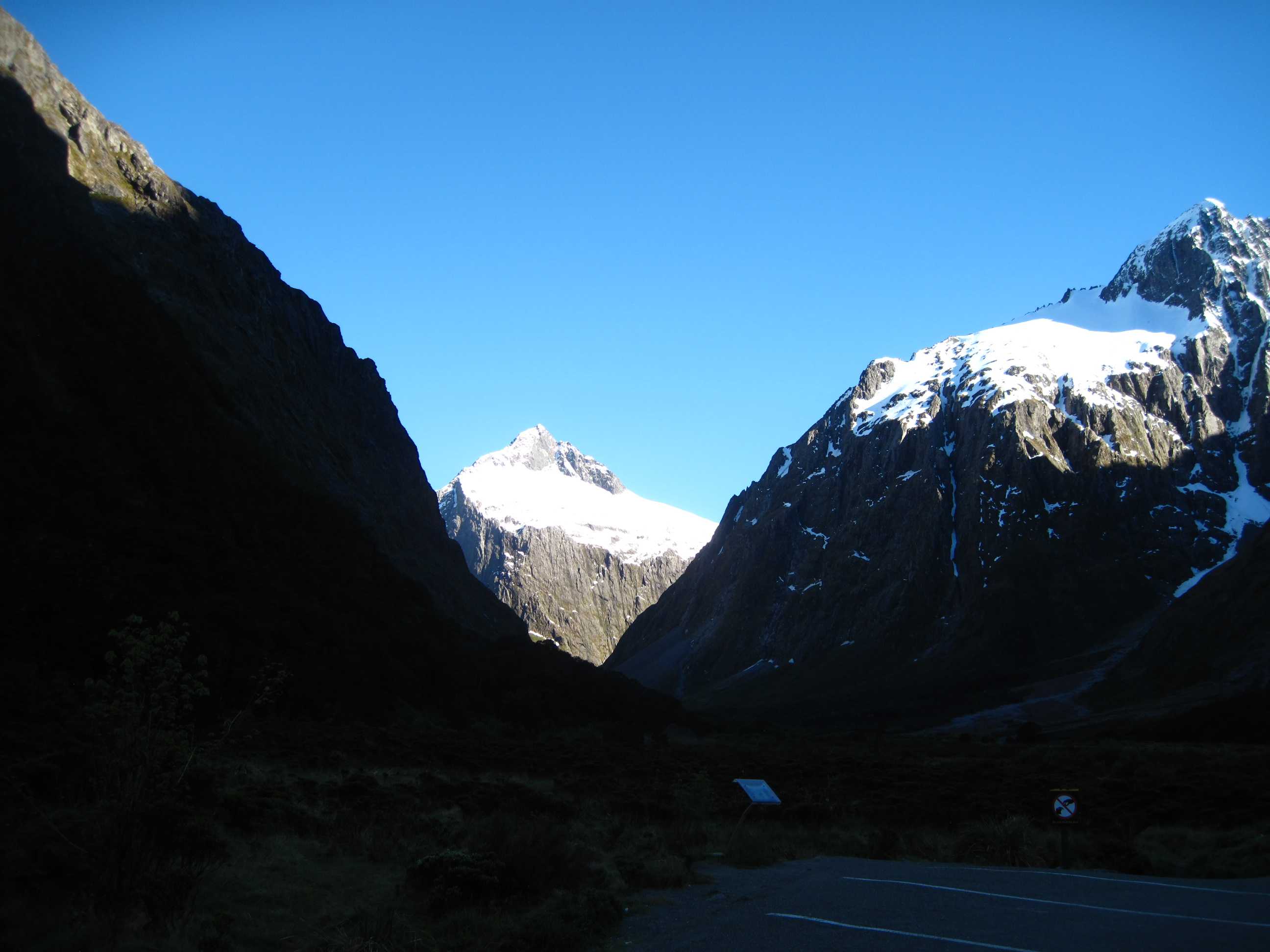
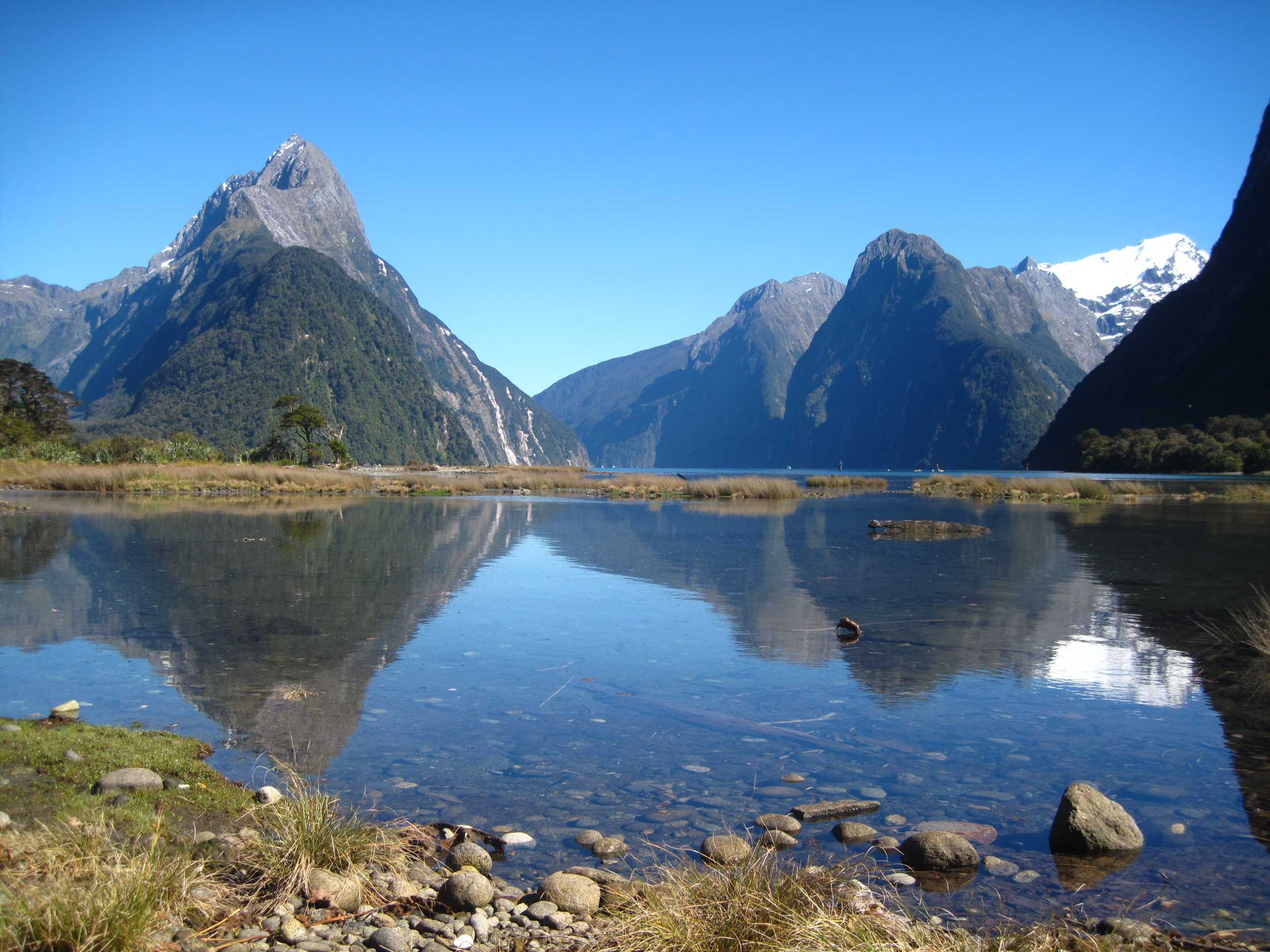
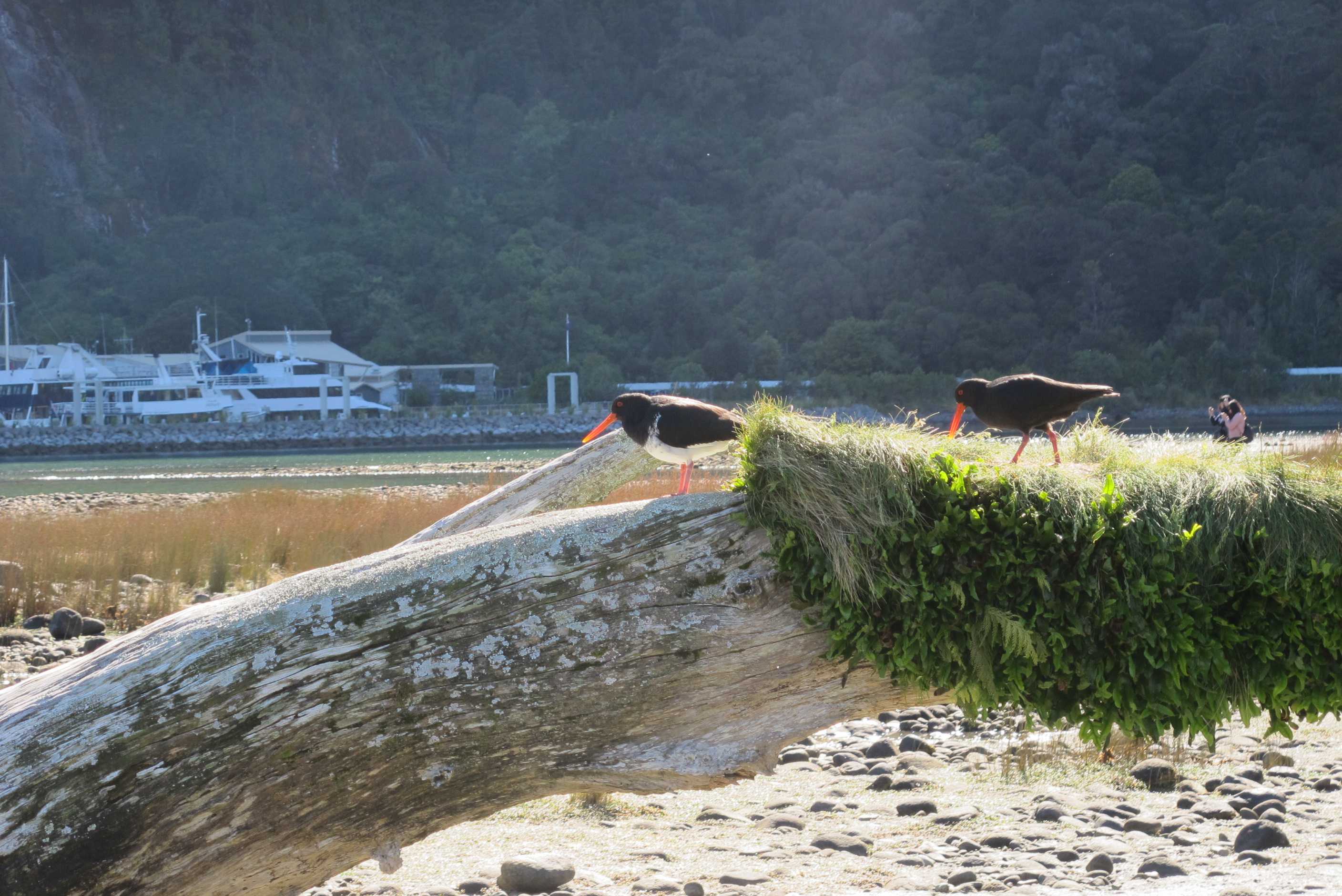
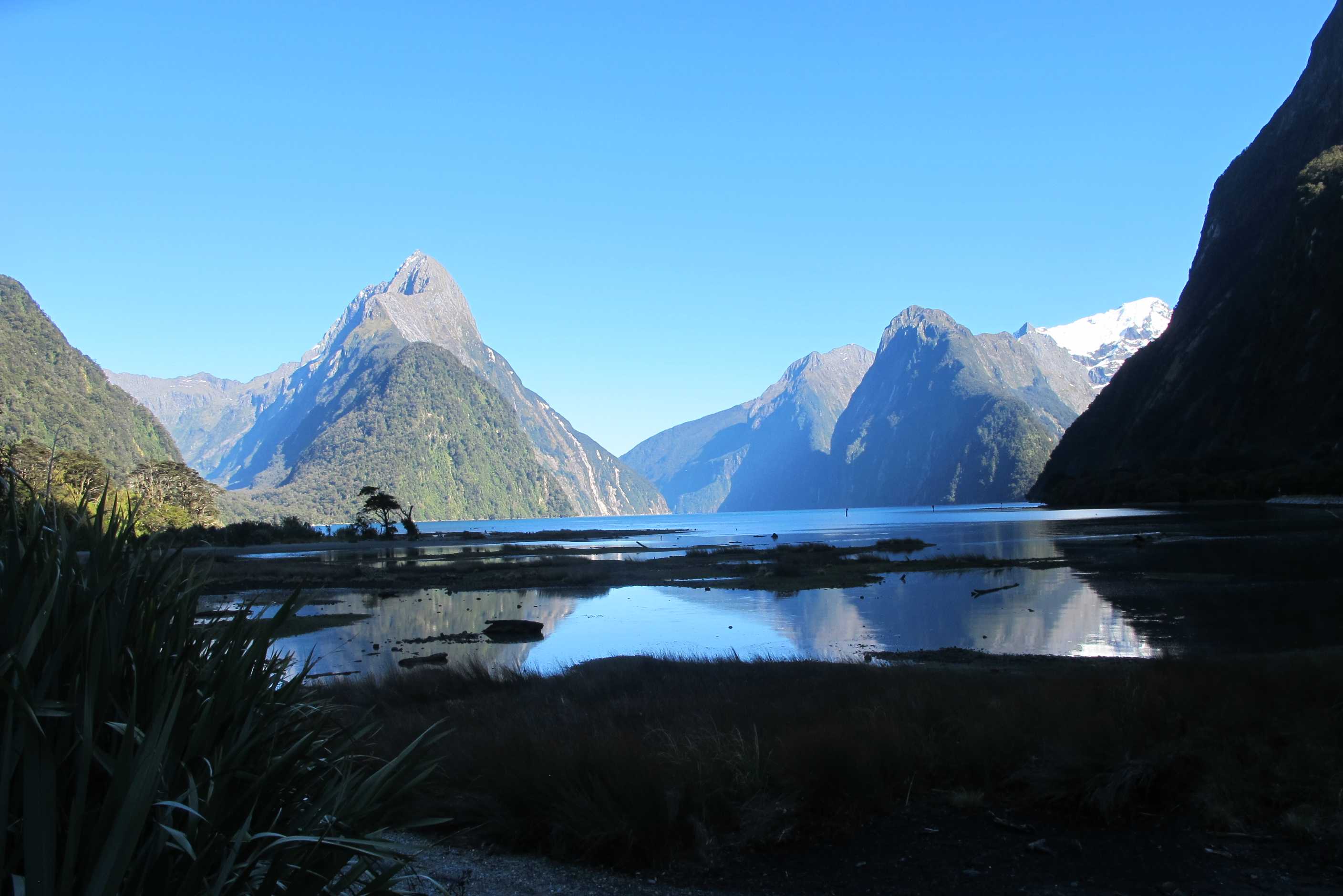
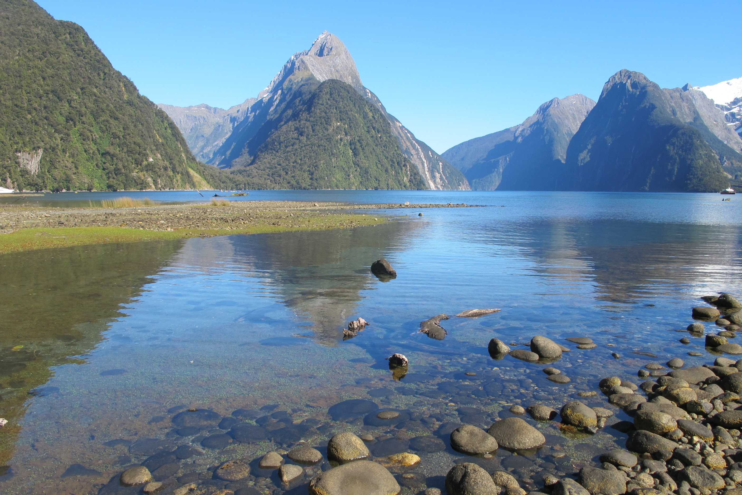
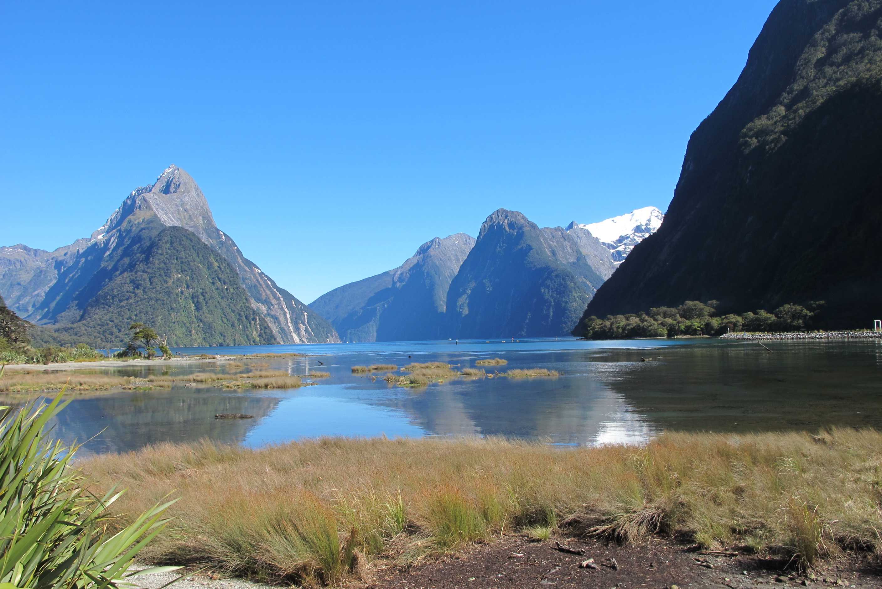
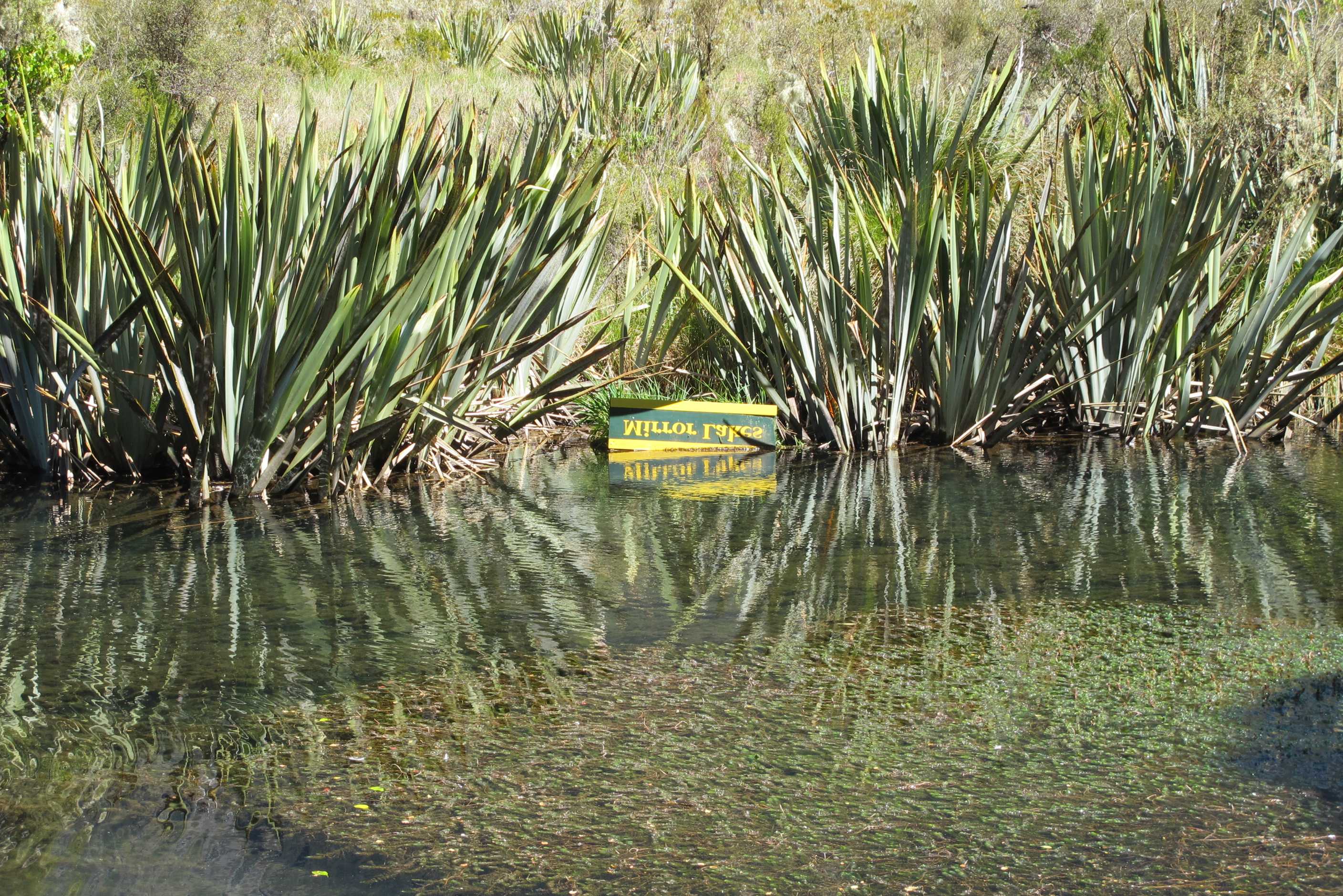
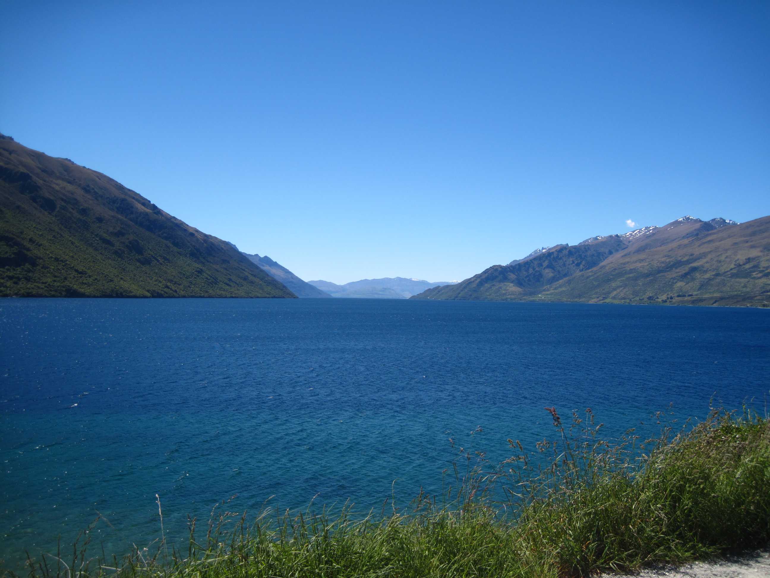
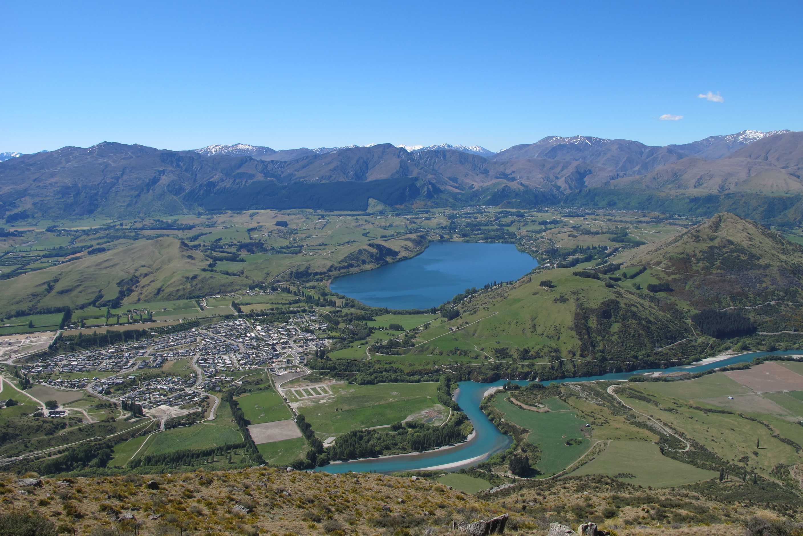
Early start to head for Milford before the coaches etc. Went along a gorgeous road past lakes, forests and mountains. Stopped for a quick walk at Marian Lake. Really pretty mountain stream, sadly shut (the walk, not the stream) due to rockfalls a short way up, but lovely anyway.
Next stop, The Chasm and if you wanted to explain to someone what a chasm was, then show them this and it does the job in spades!! So narrow, so deep, surrounded by huge funny shape rocks and full of gushing water, wow! Onward and views getting better and better. Very high mountains all around us, walls of waterfalls, forest and mountain river. Got to the famed Homer Tunnel and lucky for us lights were green, so in we went. It is quite long, roughly hewn and felt like an adventure! Then the other end, double wow, valleys, more huge mountains, some snow capped, forests, waterfalls and rivers.
At Milford, lake was gorgeous and we went for a short walk/meander through trees and onto the exposed shore as the tide was out. Crystal clear water, picturesque views, huge waterfall and nothing but the sound of birds! Had a cuppa and a sandwich before the return to Te Anau and Queenstown. Again a great drive back, honestly don't know what all the horror stories about the drive were about!
The drive along lake Wakatipu to Queenstown was incredible, hard to keep eyes on the road! Just short of Queenstown we took a detour on the road to the Remarkables ski area. What a drive and so high! Neil did really well and I shut my eyes on the sheer drop off bits, with no safety barrier! The views just kept coming, astounding. We stopped when the van struggled on the top of the road as it turned to gravel and came back down. What a detour! Then on into Queenstown and went to find our campsite. Nice place just through town on the way to Arrowtown. We have decided to be brave tomorrow and have a ride on the Shotover Jet! We promised ourselves to do something thrilling and this is it! Just hope I don't hate it, I can be a bit of a wimp, but it looks so much fun! Google it. If I am still alive tomorrow, will tell you all about it! Off out for dinner again, what is happening, twice in3 days!!!
Up and breakfasted then off to Milford Sound. We stopped off at various viewing points along the way including Marian Lake (couldn't quite reach it as the bridge was damaged in a tree-fall) and "The Chasm" a split in the ground through which a stream thundered along. We then went through the Homer Tunnel. This is single-lane controlled by traffic lights. Then eventually we reached Milford Sound itself. We had been warned by an American couple that no way should we attempt the road with a motorhome. We have no idea where they came up with this because there was no problem driving it at all. Maybe if you do it at the same time the coaches are thundering up it it may be a slight problem but not when we did it.
Milford Sound itself is basically one large car park with a cafe and a small harbour. However it is in a beautiful setting and there is a lovely boardwalk around the endge of the lake with some fantastic views of the lake and (yes, you guessed it) the snow-capped mountains. Spent an hour on this walk, it was so peaceful as there were no people around yet. Those that had come early were off on the boat trips and the ones that set out from Te Anau this morning hadn't reached town yet. Eventually had a sandwich, cake and coffee (Sue had tea with skimmed milk), served by a young girl from Brighton, and made our way back to Te Anau. Sue wanted to stop off at Mirror Lakes again, but Neil stayed in the motorhome having been got by the sandflies the day before - once bitten twice shy, or in Neil's case 250 times bitten, 251 times shy.
Went up to the Remarkables Ski Area just before entering Queenstown. Didn't go all the way to the top as the last 3 kms is gravel road and there was snow around, but the views all the way up were incredible. Then through the city to the TOP10 on the way to Arrowtown. We asked if there was anywhere to eat nearby and the girl on reception told us of somewhere just 2 minutes up the road, so after a shower we started walking, after 15 minutes we saw what looked like a posh hotel (Nugget Point), which had a Burmese restaurant ( the Bodhi Tree ) attached. This wasn't what the receptionist told us about but we called in. We were told that without a reservation we'd have to wait for about 40 minutes, so we ordered a cocktail each, which took about 20 minutes to arrive. We sipped them on the veranda overlooking the mountains and a lovely valley with a bright green river running through it. It was stunning. Eventually we were seated and the meal that came was the best we had eaten so far in New Zealand. Then a walk back down a dark road, luckily Neil had insisted on taking a torch. Jet boating tomorrow!
night |
kms |
Overnight Stay at |
Cost/night |
Facilities |
Wow Factor |
Photos |
|---|---|---|---|---|---|---|
| 28 | 59 | TOP10 Queenstown - quieter plot tonight | $50 | 2 | 3 |
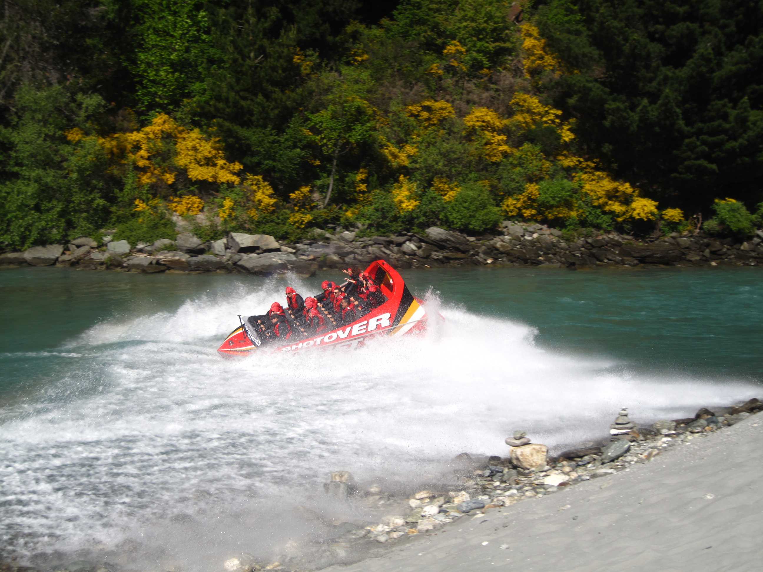
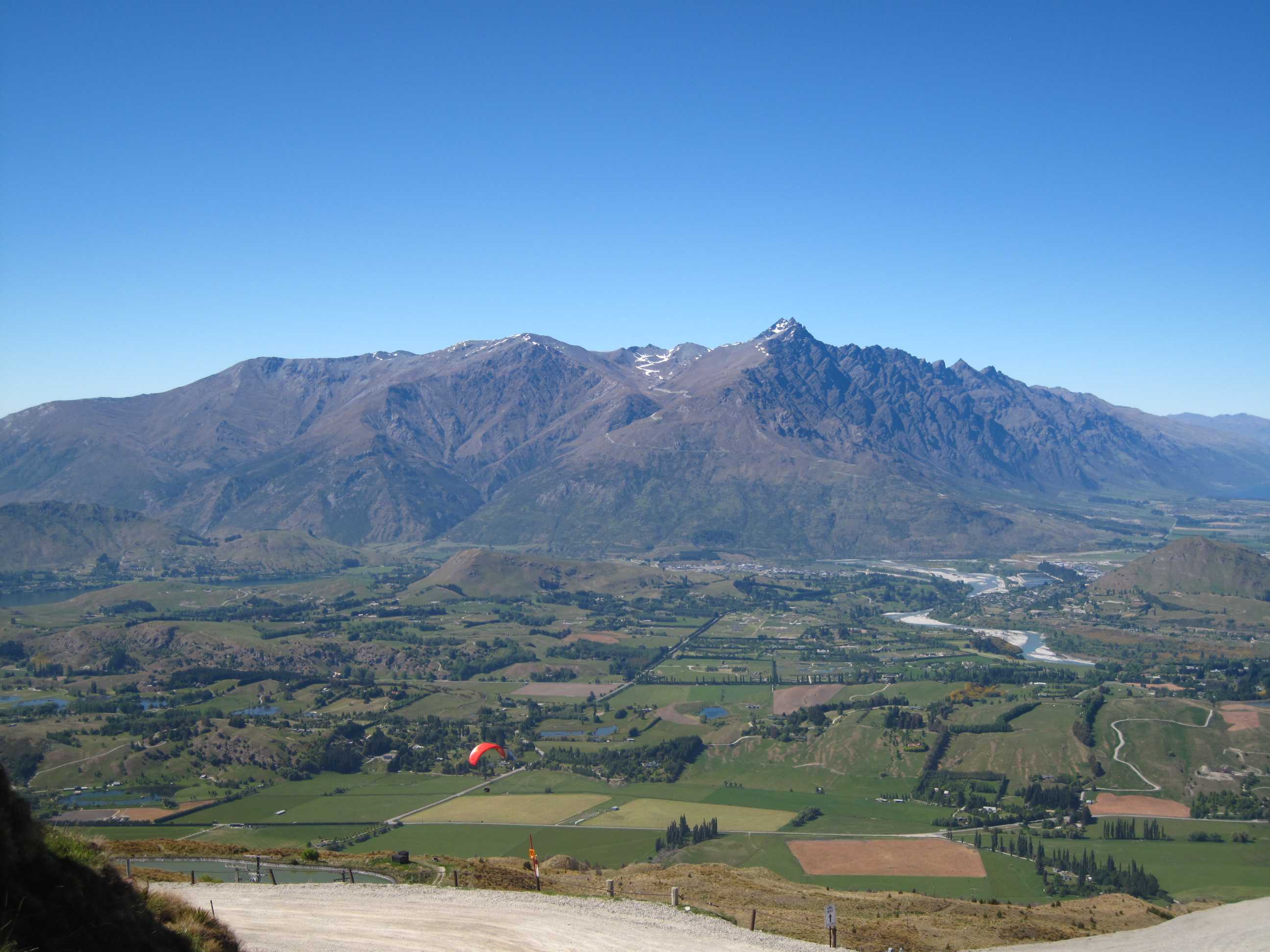
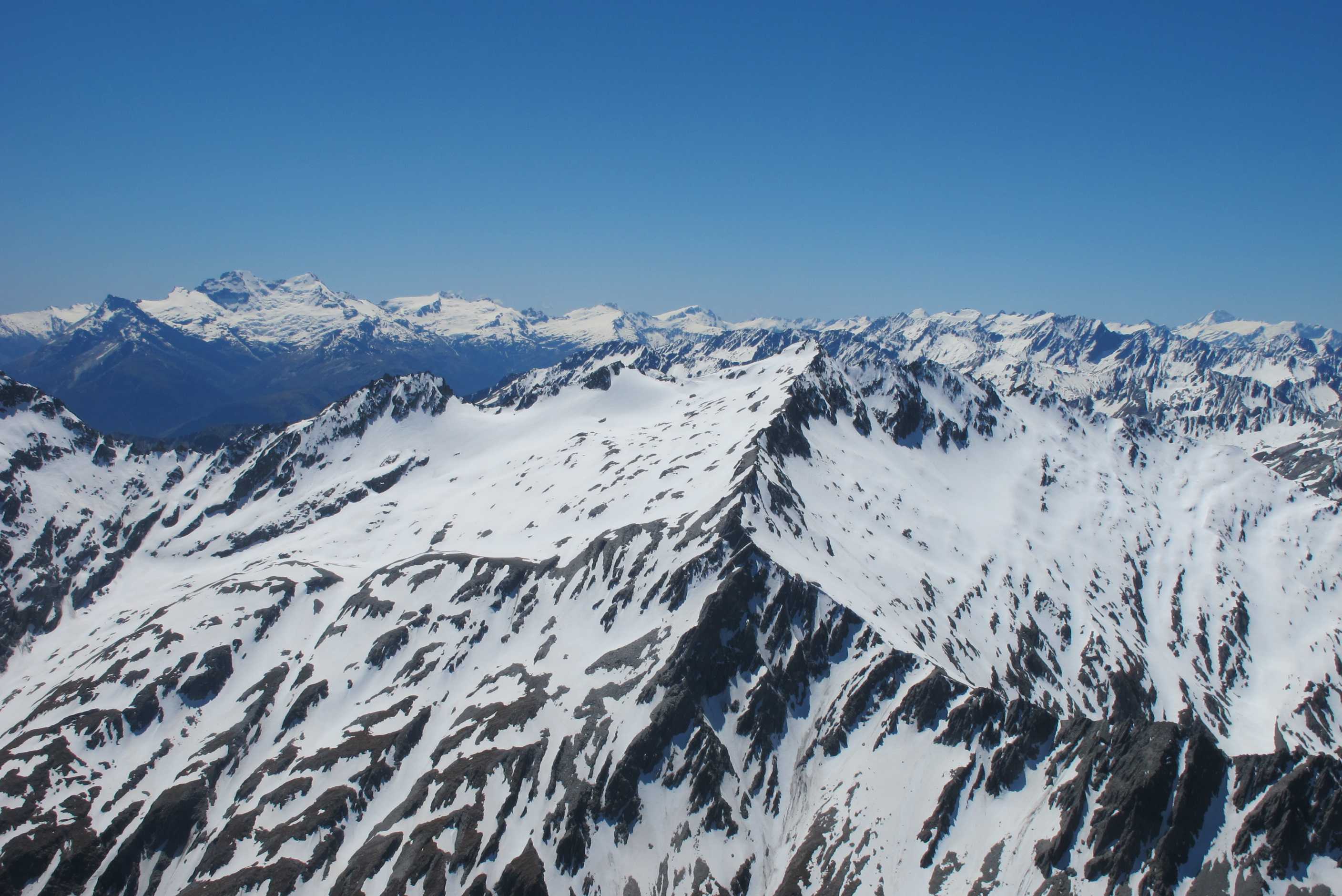
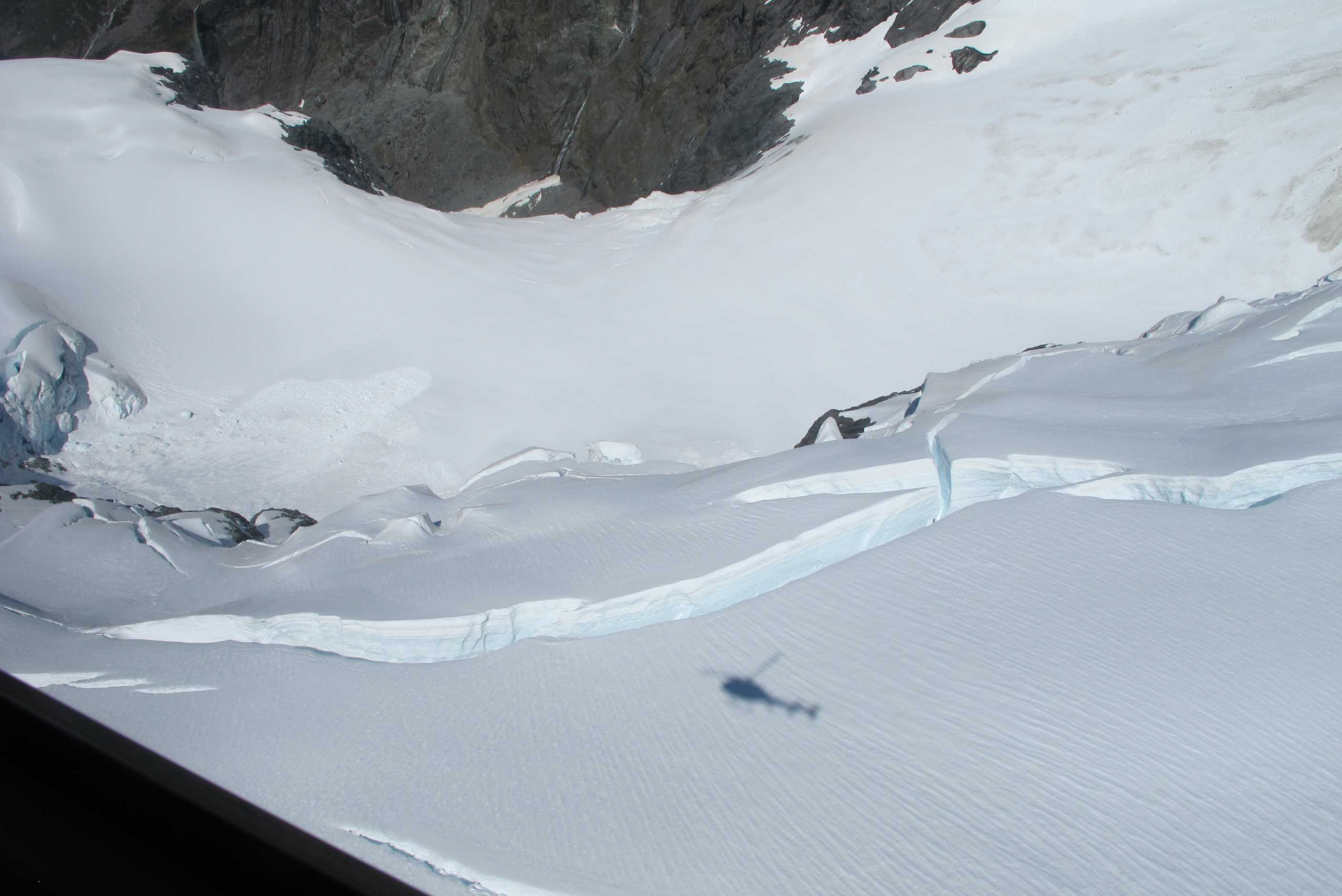
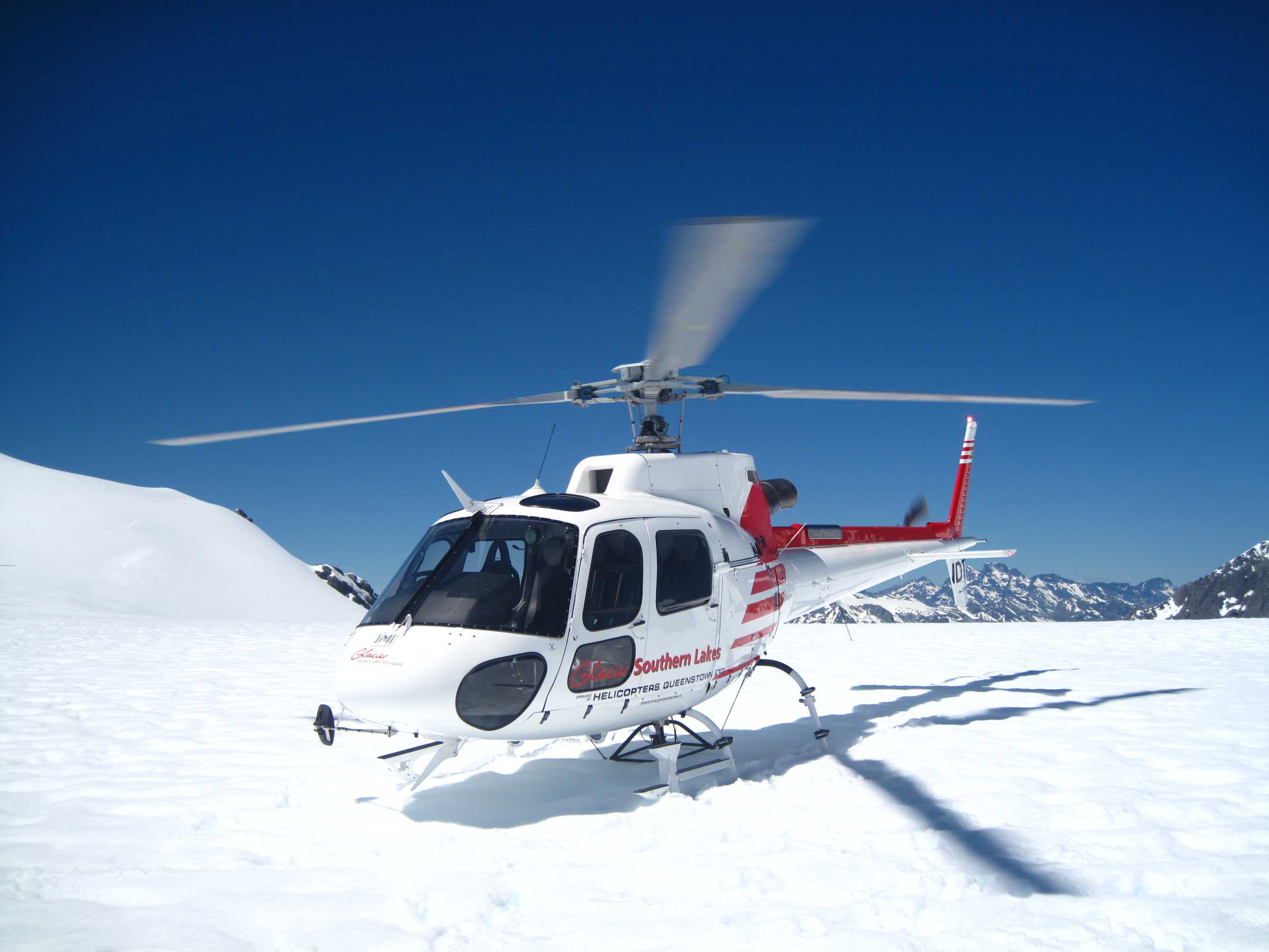
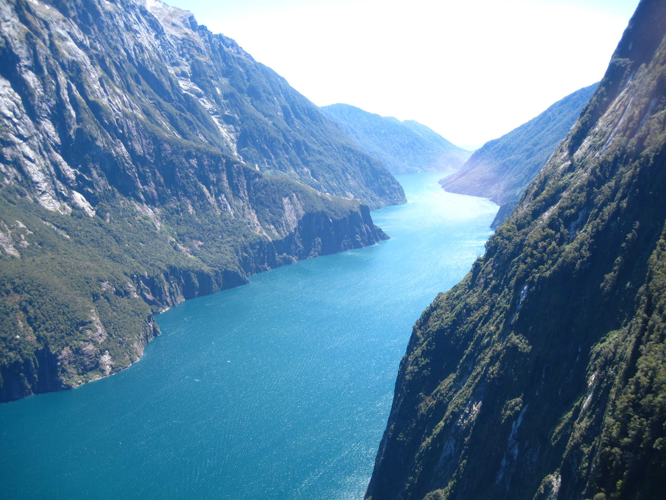
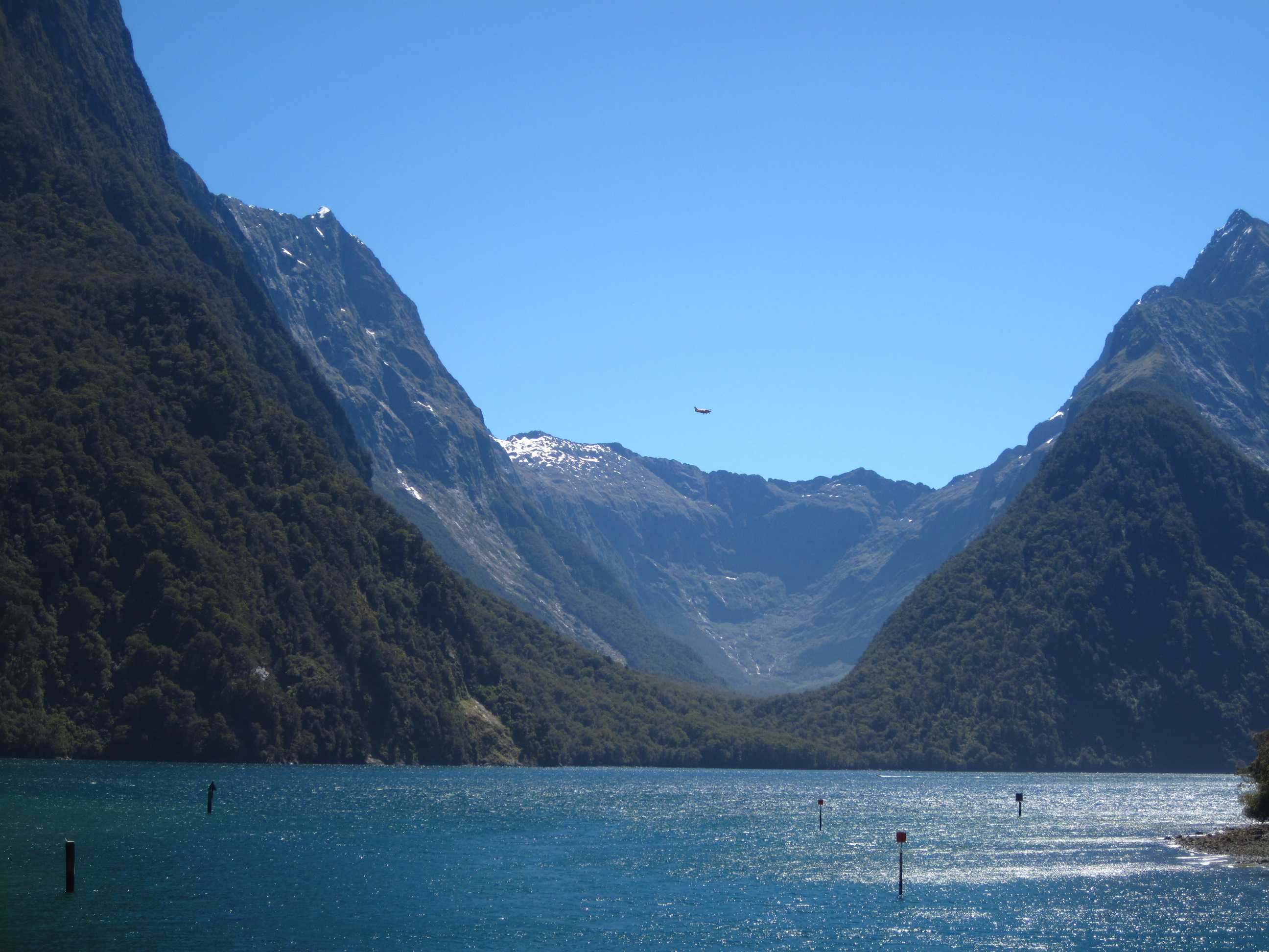
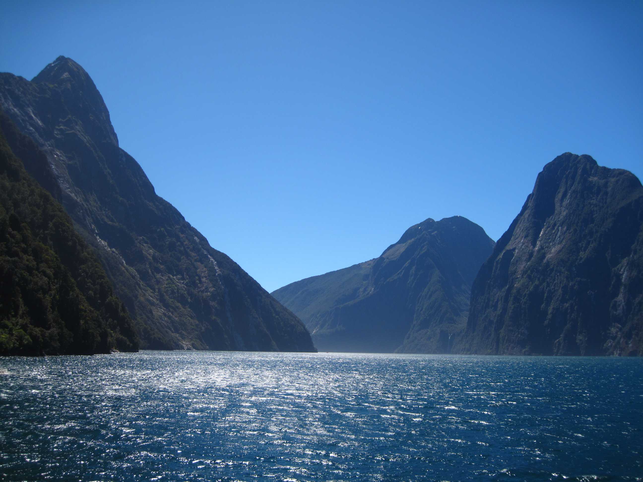
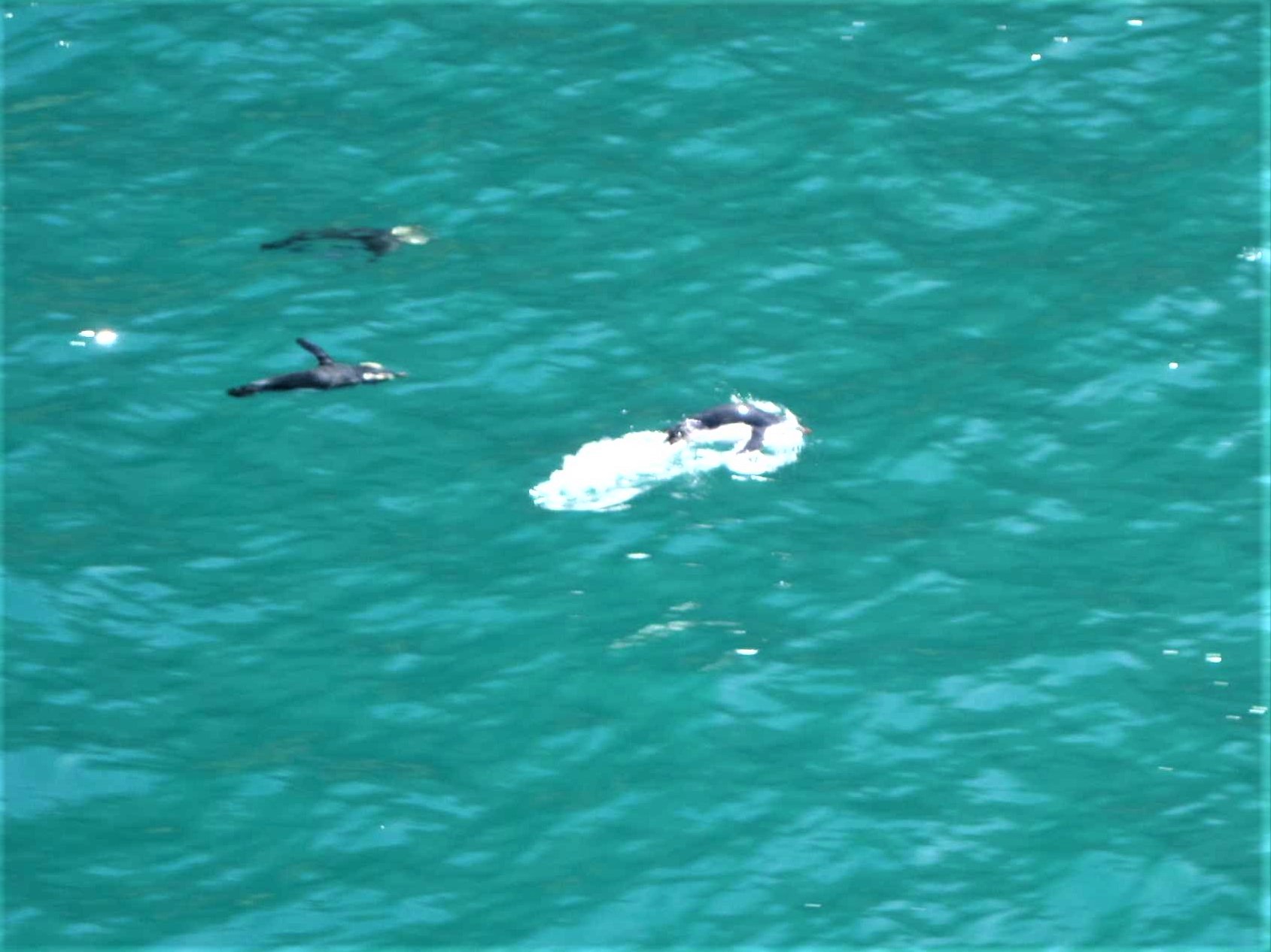
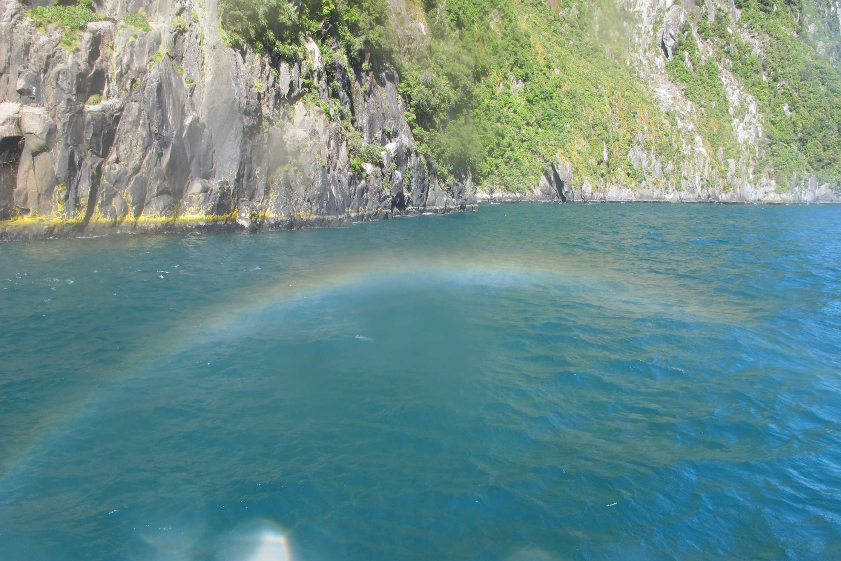
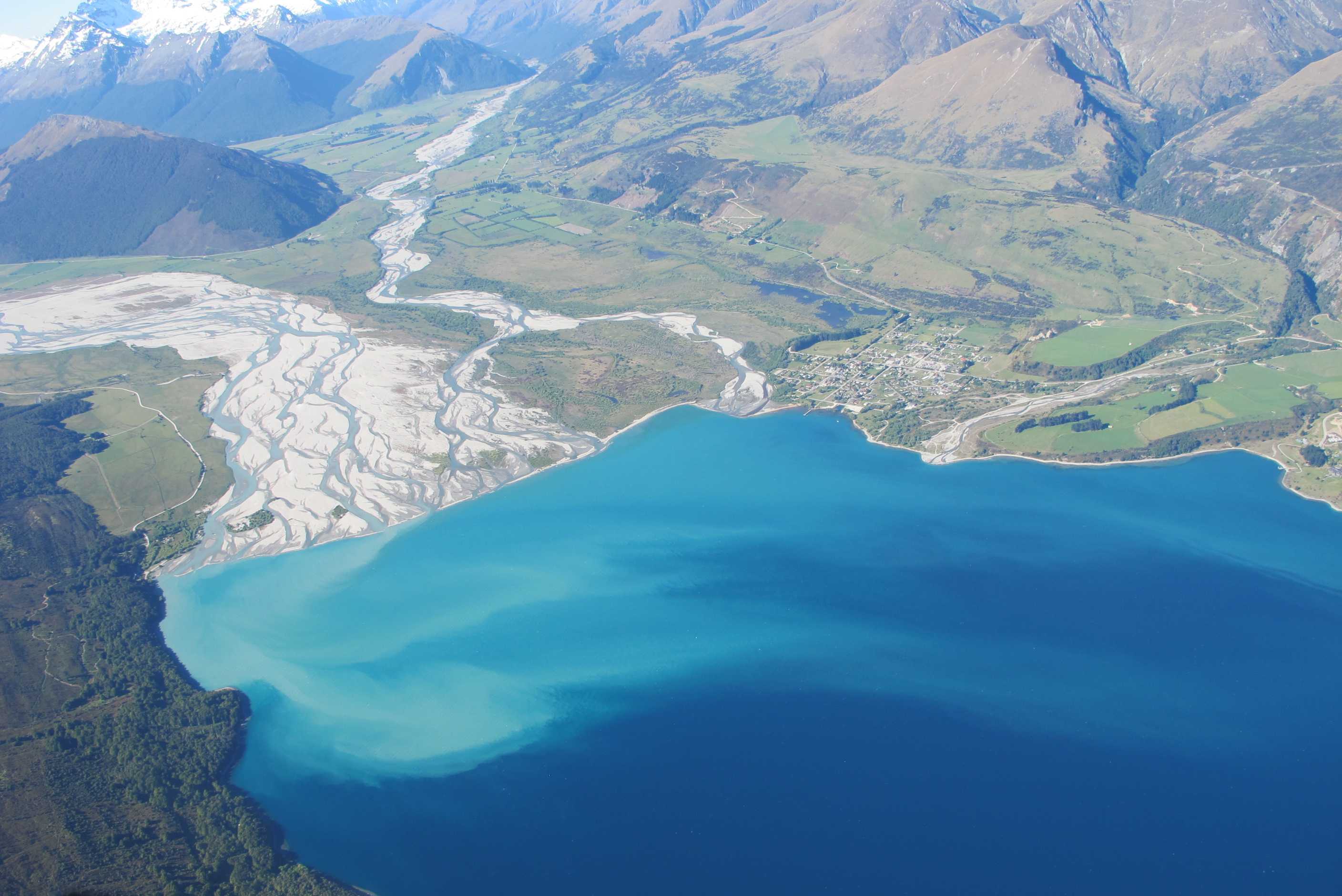
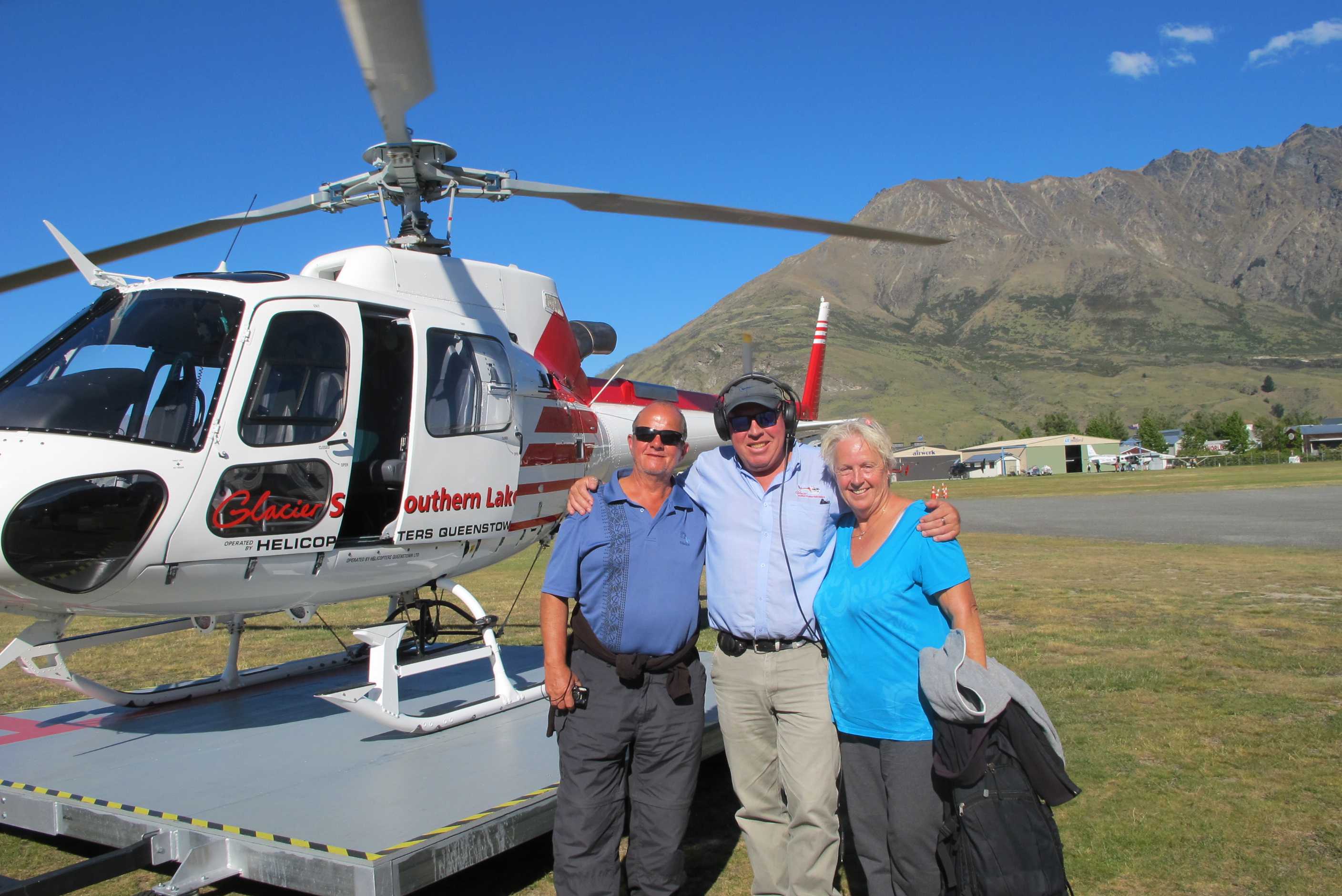
Well set off today feeling a little nervous about the jet boat ride! It was amazing, I screamed most of the way, shut my eyes when we headed at 90km per hour for the rocks and cliffs but loved the 360 degree turns, the bits where we went fast but no rocks! Neil loved it all! You can see where to view some of our ride on the main part of the blog at the side.
We then drove up to Coronet peak ski area. What views! Saw some people paragliding so have now booked to do that tomorrow! It's the highest jump off in NZ. Neil is leaving me to it and having a lie in!!! On then to have a quick look at Arrowtown. What a lovely place, so quaint, but busy.
We then had our helicopter trip changed from tomorrow morning to this afternoon as weather was perfect, hot and sunny and no wind. Well, can only say, one of the best experiences of our life! There were just 5 of us in a small helicopter and the flight was over 30 mins. We flew over Queenstown, the rivers and valleys, the snow capped mountains, views incredible. The we flew over a glacier and landed on the top! We got out for a walk on what felt like the top of the world and utterly quiet! Then back on board for views over Milford Sound. We then landed and were taken to a boat for a 2 hour cruise on the sound. We saw, waterfalls, majestic mountains, seals, dolphins and even the very rare fjordland penguins! Then back onto the helicopter for the flight back. I sat in the front and could not believe what I was seeing! I was so overwhelmed by it all, I was quite tearful. Words can never describe what we were lucky and privileged enough to experience.
We then rounded off the day by stopping at Pedros House of Lamb to pick up a takeaway slow roasted shoulder of lamb with garlic and rosemary and scalloped potatoes. It was so warm when we got back that we sat outside, eating a delicious meal and supping a lovely Hawkes Bay merlot. What a day! Won't forget it as long as I live. I am truly a lucky person! When I just think I have been spoiled enough, I get to jump off a mountain tomorrow paragliding! So very excited!
Got up early to go to do the "Shotover Jet", but before doing so phoned
Glacier Southern Lakes Helicopters
to check on tomorrow's flight. They asked if we would like to do a flight this afternoon instead and since the weather was superb, no cloud
and no wind, we said yes. Then we set off to the Shotover Jet place just a couple of miles down the road back towards Queenstown. We were kitted
up and got on a jet boat with 6 other people and a 22 year-old pilot called Hamish (nickname: The Hamster). He belted upstream for about half a
kilometer, just missing rocks then turned round and travelled downstream and when I say "travelled" I mean belted down at over 90 kmph narrowly missing
canyon walls and huge boulders in the most exciting "boat trip" ever! Did several more 360s along the way.
Hamish owned up that he didn't drive his car anywhere near
as recklessly as the jetboat.
Photos and videos of our "cruise" can be seen
HERE.
A couple on our jet boat told us of a fully tarmaced road leading up to the ski fields at the top of Mt Coronet, so since it was on the way to Arrowtown where we were going next we decided to go up there. The views are stunning and there were some guys paragliding from the top. Sue expressed a desire to do this, as she had really loved doing it when we went to Turkey some years ago, so we booked her on a "flight" for the following day. Then on to Arrowtown. It is a lovely place with lots of boutique shops, though it was quite busy and not at all easy finding a parking space. Sue got some presents for friends and family and we both got an ice cream. The lady was horrified when Sue opened her purse to find no money in it. "No I don't take cards" she exclaimed when asked. Since Neil had already sucked on his, she didn't want them back either, so everyone was relieved when Sue found a "secret" compartment (you know, the one all women have in their purses), with just enough to pay for the ice cream.
Then it was back to Queenstown to be picked up to go to the airport. We filled in the necessary forms and soon were on the helicopter with our pilot, Andy, and a mum, dad and 19 year-old son called Louis. Sue was so excited she could hardly contain herself. Adam was great, giving a running commentary of what we were seeing, then landing softly on top of the glacier where we all alighted. Adam asked us not to go too far and when we later took off it became obvious why - there was a huge drop a few hundred metres in front of us. He flew us in to Milford Sound where we caught a boat to cruise up and down it. It is much smaller than Doubtless Sound where we were a few days ago and would fit within the "long arm" of that fiord. It is less varied than Doubtless, but the waterfalls are more spectacular. We saw fur seals and came across a group of 4 or 5 Fiordland Crested Penguins(Tawakis, about 60cms tall) down by the water's edge. Eventually they took the plunge and could be seen swimming just below the surface and breaking the surface from time to time. The ship's captain took us very close to Stewart Falls and those of us on the front of the boat got a bit of a shower, or, as the captain called it a "glacial facial". He said we would wake up tomorrow looking 10 years younger. In that case Neil asked him to reverse in and out another 4 times.
After the boat cruise we got back on the helicopter for the return trip to Queensland. The pilot showed us the Routeburn track from Milford to Glenorchy that takes about 4 days to complete, rising over mountains, along ridges and descending into hidden valleys. He also pointed out one end of the Homer Tunnel we had travelled through yesterday. After we got back we called in to Pedro's House of Lamb for a shoulder of lamb with scalloped potatoes and ate it as soon as we got back to the TOP10 site. Then it was shower and an early night.
night |
kms |
Overnight Stay at |
Cost/night |
Facilities |
Wow Factor |
Photos |
|---|---|---|---|---|---|---|
| 29 | 190 | Wanaker - Car Park opposite Puzzling World (Freedom Camping) | 0 | 1 | 3 |
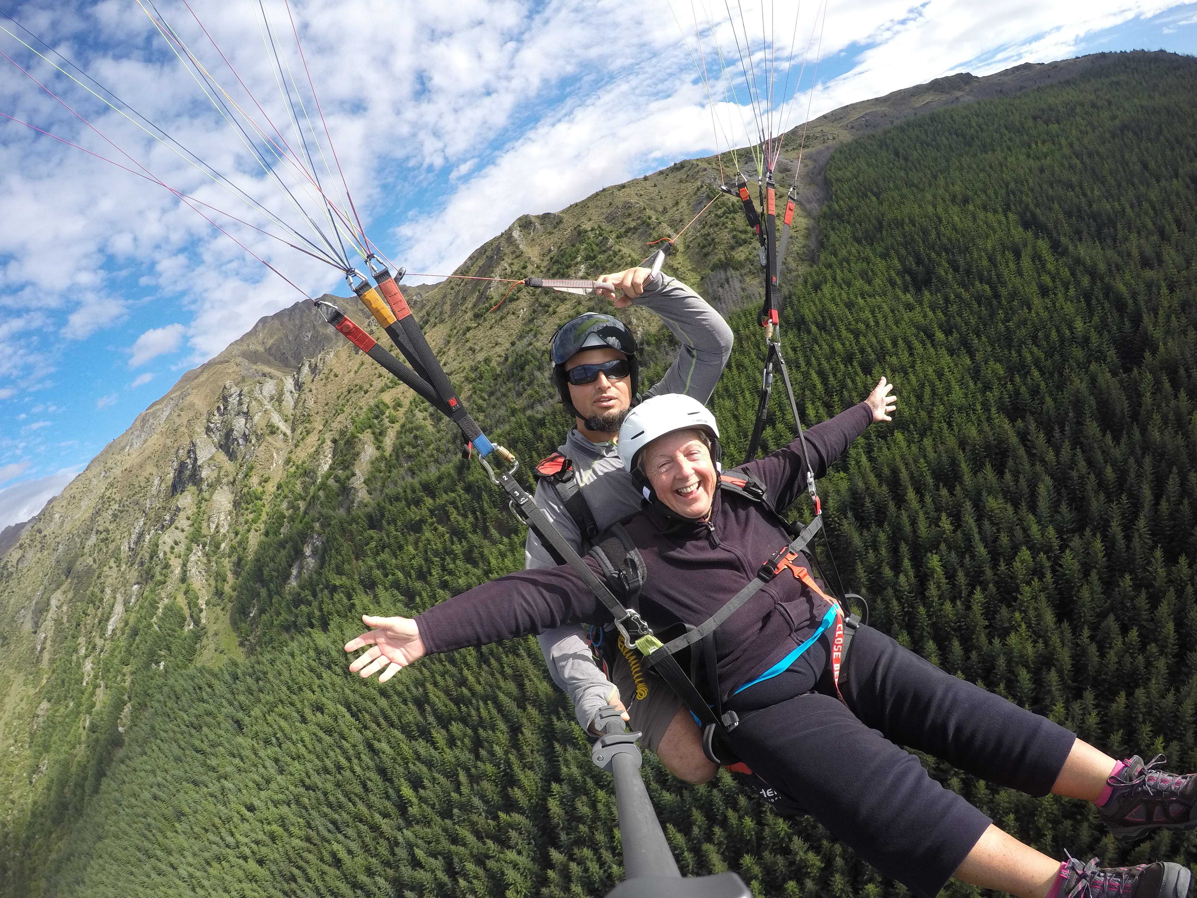
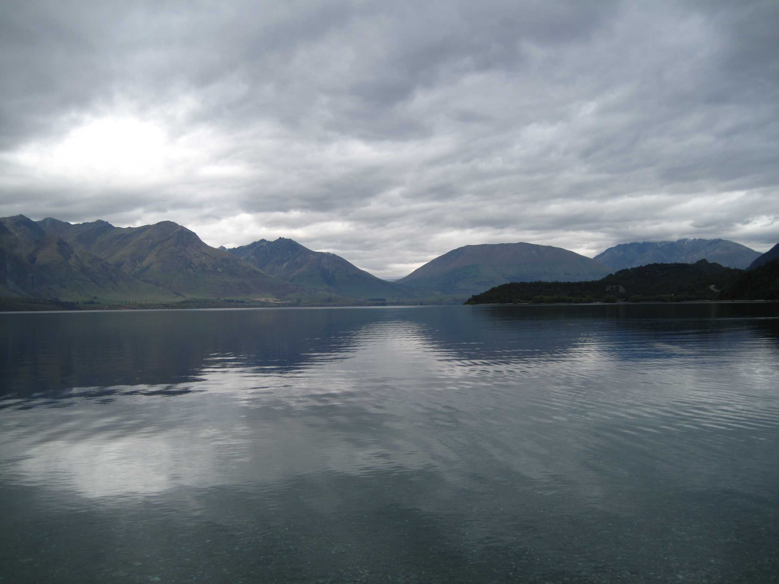
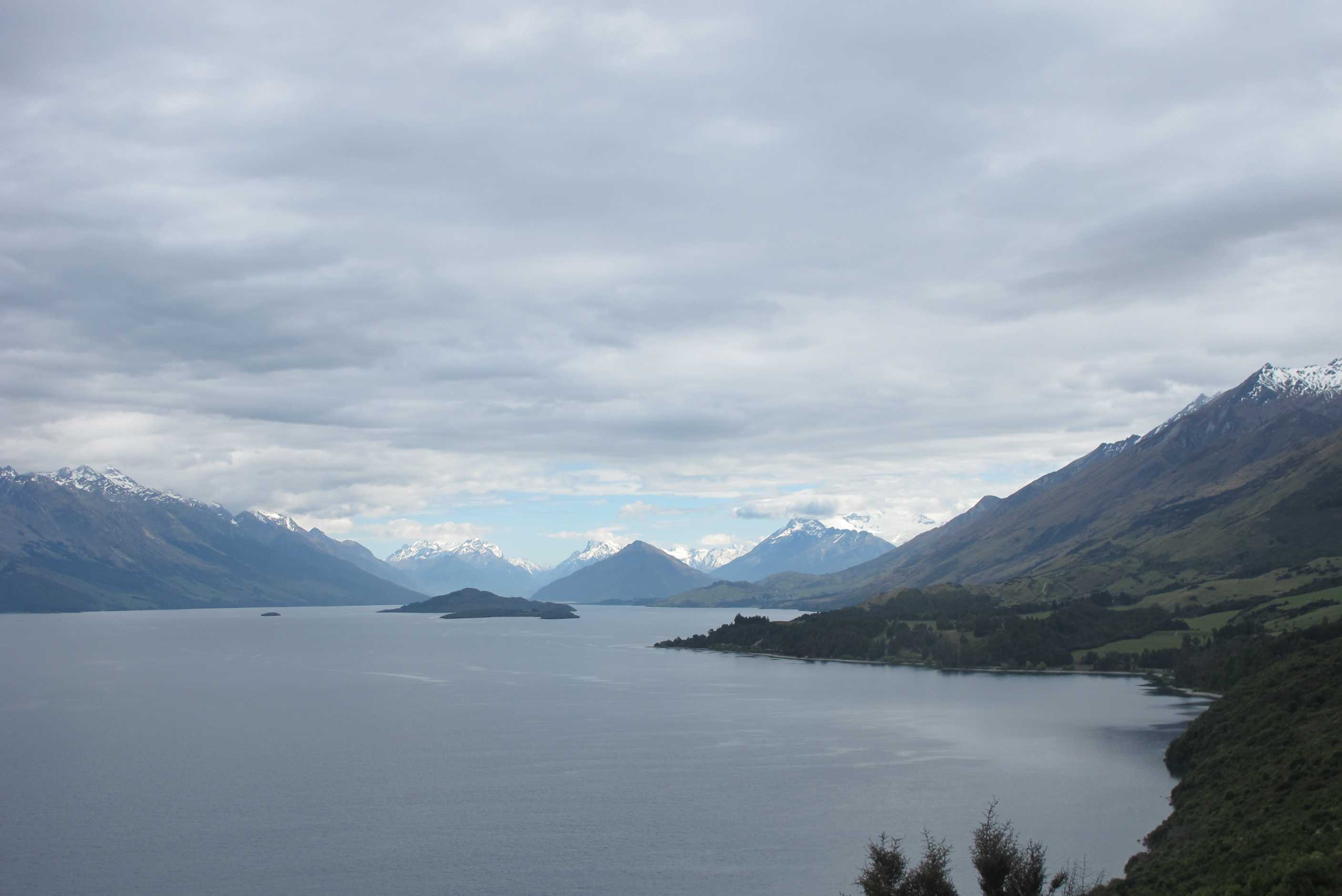
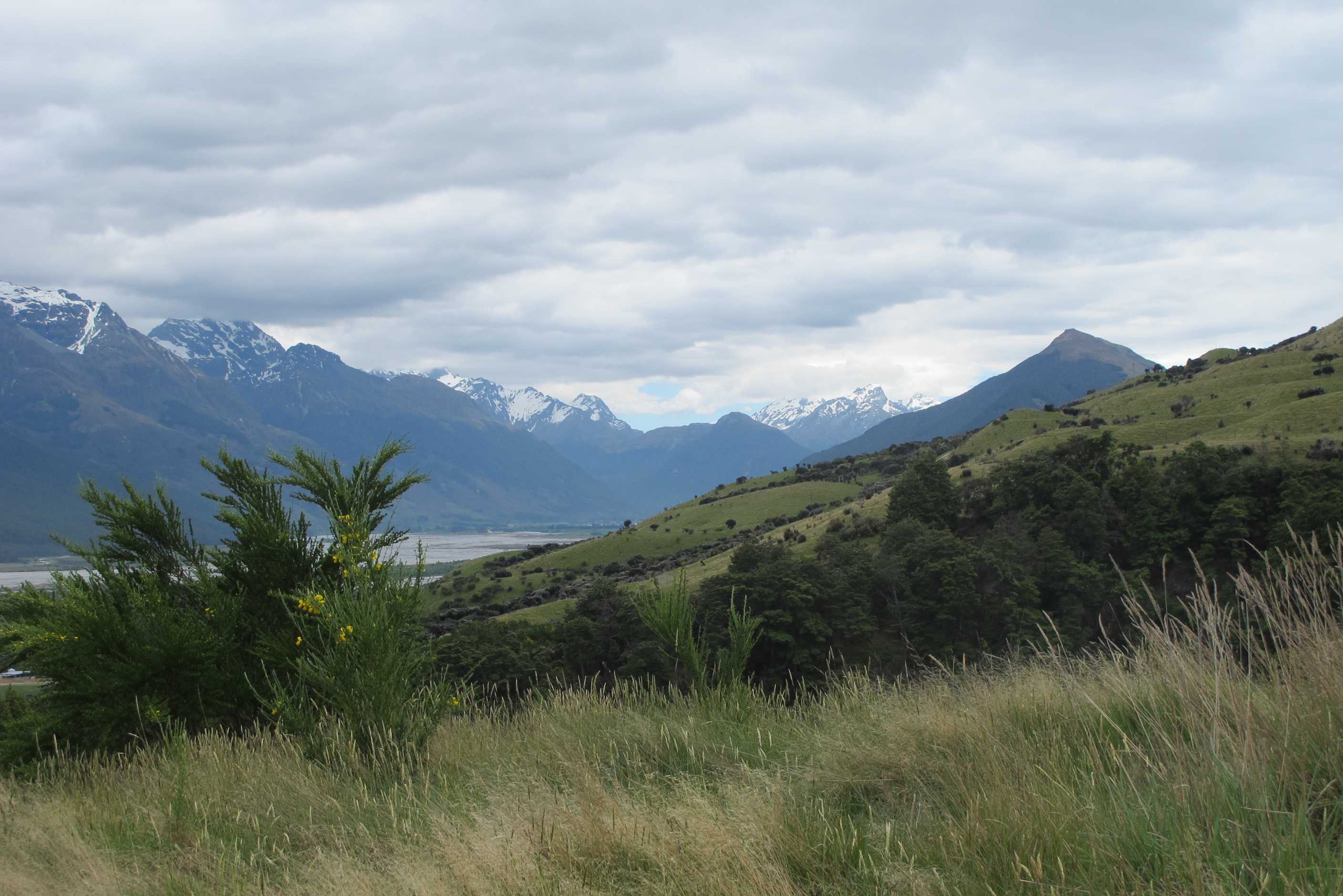
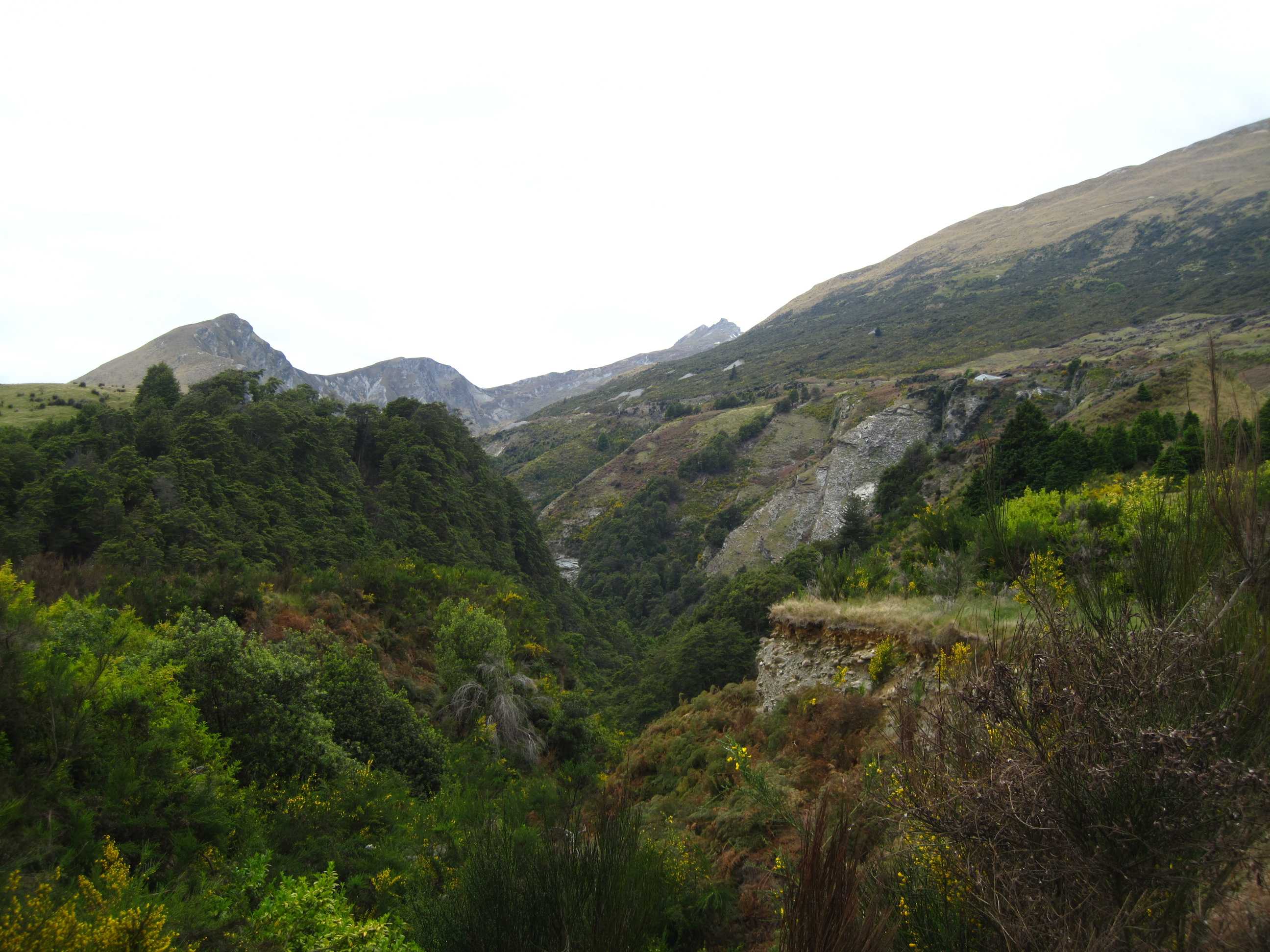
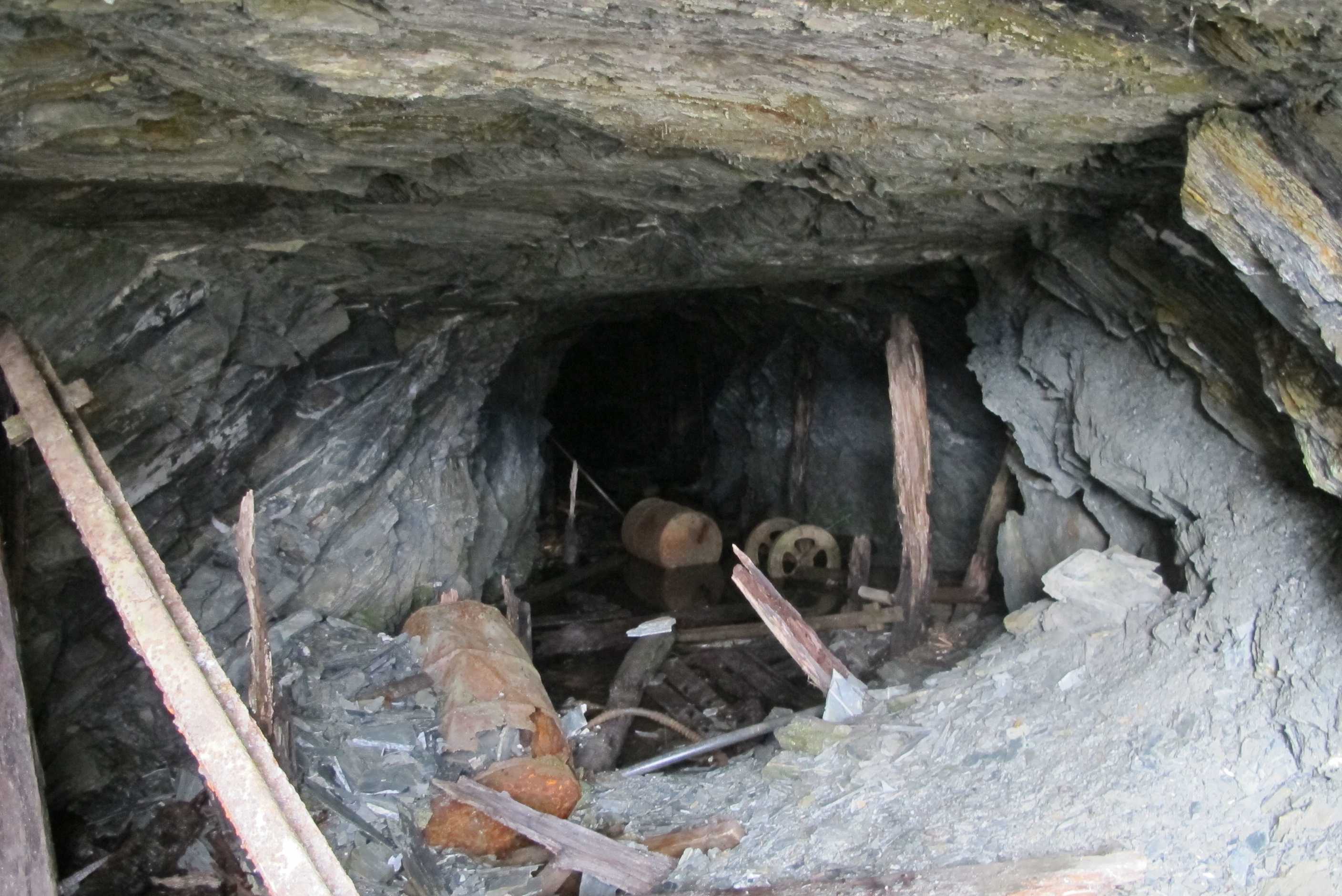
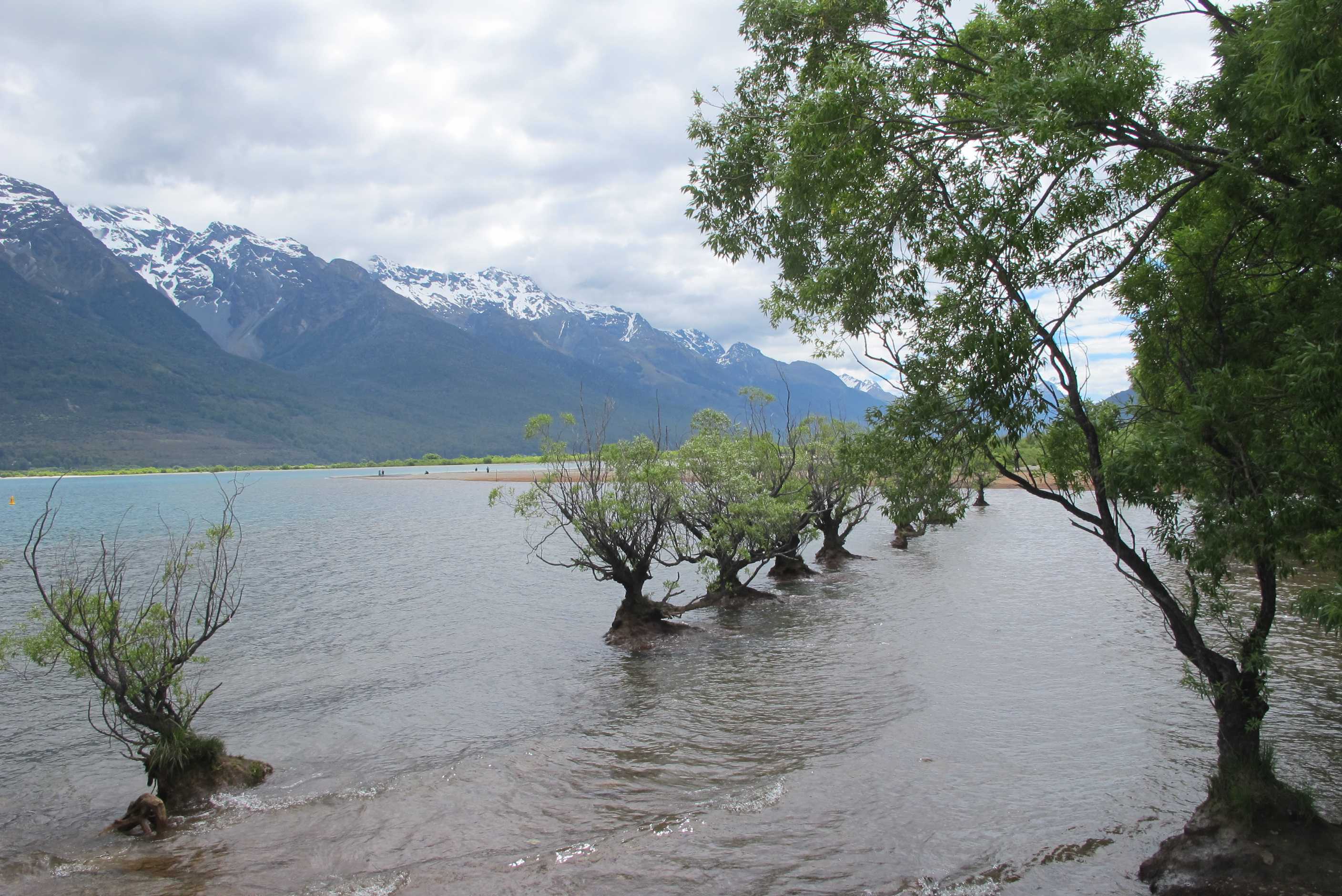
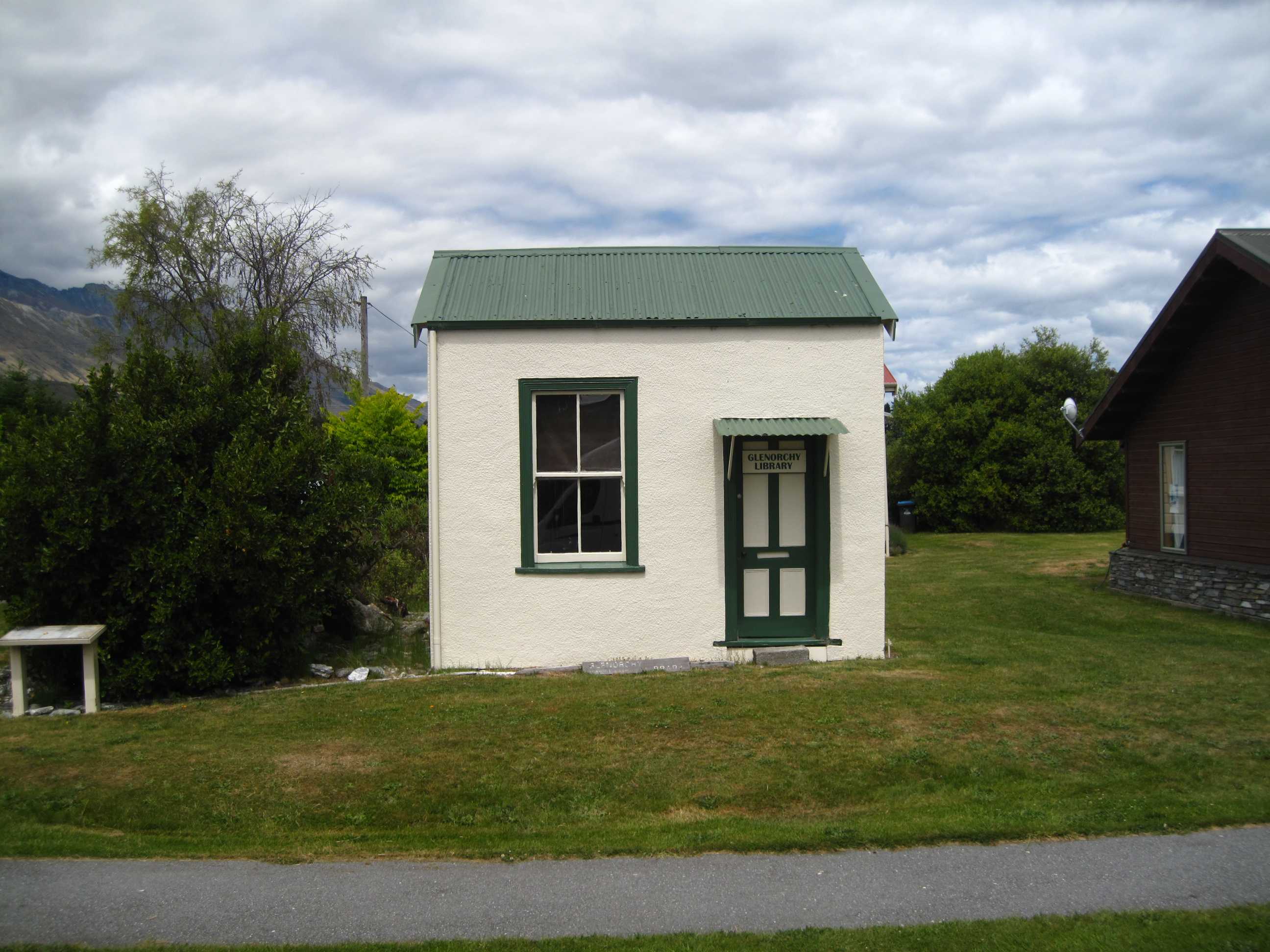
Got up ready for my paraglide and was so relieved we had done the helicopter trip yesterday. It was a pleasant morning but nothing like the amazing sun and clear skies of yesterday. We were so very lucky. Weather was fine for my flight so that was ok. Was driven up and then got instructions from my partner (dreadful can't remember his name - he was Turkish and it was a strange one!!) Quite a coincidence, he was doing paragliding in Olu Deniz in turkey at the same time as we did out first paraglide. I was nervous as we had to run, in tandem down a sheer drop, till the thermals picked us up. Luckily I stayed on my feet and had the most amazing experience. To float way up above mountains and grand scenery with no sound except the wind, was incredible! I loved it but sadly it was over to soon and we had a very gently landing! He was probably worried as he had a 'granny' instead of his usual young things!
Well, on to Glenorchy. What a drive, incredibly scenic. Then Neil fancied a walk to an old Sheelite mine. Well, we climbed for an hour solid, sometimes quite steep, with amazing views. The mine opening was quite cool too! Then we had to walk the same distance down! Well, I think I was tired from all the overdose of excitement over the last 2 days, but I was exhausted! Could barely manage one foot after the other, poor old me!! Worth it though, as was gorgeous.
Then lovely drive back through QT and on to Wanaka. We went over a very high pass, never thought we would get there, every corner produced another uphill stretch, so amazing though! What views! Wanaka looks like a lovely town, with a beautiful lake and stunning mountains. We will see more tomorrow.
Went to Puzzling world before stopping for the night, and that was amazing! Fascinating things to see and do. Gave up on the Maze only half done as it was getting late and we were tired and hungry. Drove over the road to park in some trees, next to the start of the walk we intend for tomorrow morning. Cooking some pasta to go with leftover lamb from last night, with some delicious broccolini! A thinner, tastier version of tender stem broccoli, yum!
Got up early-ish and sorted a few blog-related and e-mail items then we went to the bus stop at the entrance to the site to wait for the pickup to take Sue up Mt Coronet to throw herself off strapped to a handsome young guy. The company that she'd booked with Sky Trek picked her up and whisked her up the mountain we had driven up the day before while Neil did a few more chores like emptying the grey-water. Neil then drove to the landing strip just in time to see her land. It was amazing.
Then we drove the road to Glenorchy. This has to be one of the most beautiful roads in NZ, with fantastic vistas round almost every corner. Before we reached Glenorchy we decided to do a walk up to an old scheelite mine. Scheelite is a calcium tugstate mineral (CaWO4) and was important for use in ordnance during the war. First you come across the "refining" shed and then further up the mountain is the mine itself. It is dangerous to go in, so we photographed from the entrance. Then it was back down the mountain to carry on the last mile or two into Glenorchy, a lovely little town.
We went back to Queenstown, stocked up on provisions, then carried on along the Crown Range Road, that seemed to climb forever, until we reached the top then followed the Cardrona River down to Wanaka, where we went to Puzzling World which is extremely quirky and very entertaining. Just opposite is a car park with some lovely shaded areas under some lovely well established trees. We decided to freedom-camp here overnight as it is right next door to the Iron Mountain track that we want to go on first thing tomorrow morning.
night |
kms |
Overnight Stay at |
Cost/night |
Facilities |
Wow Factor |
Photos |
|---|---|---|---|---|---|---|
| 30 | 145 | Haast River Holiday Park (ex-TOP10) | $45 | 3 | 3 |
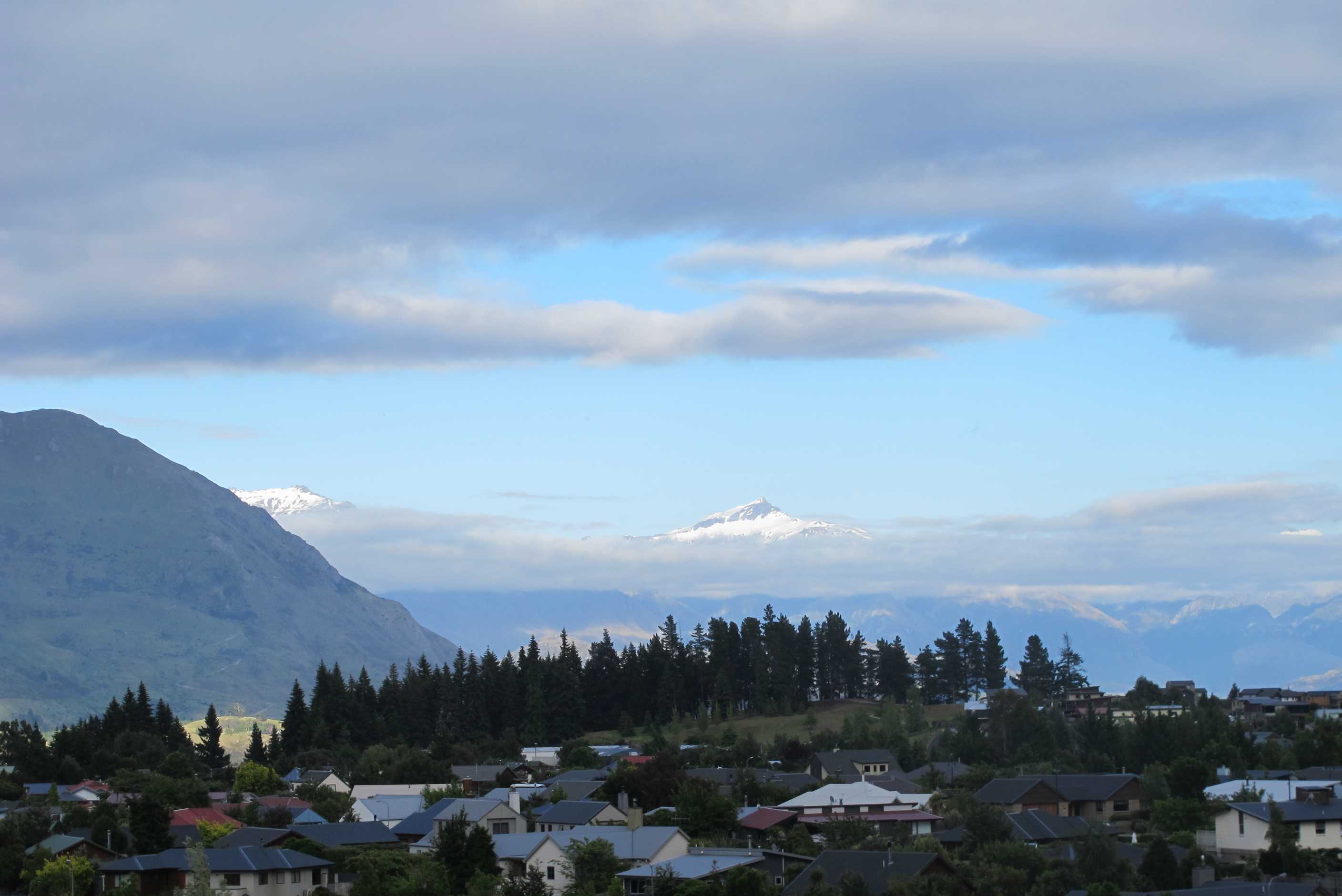
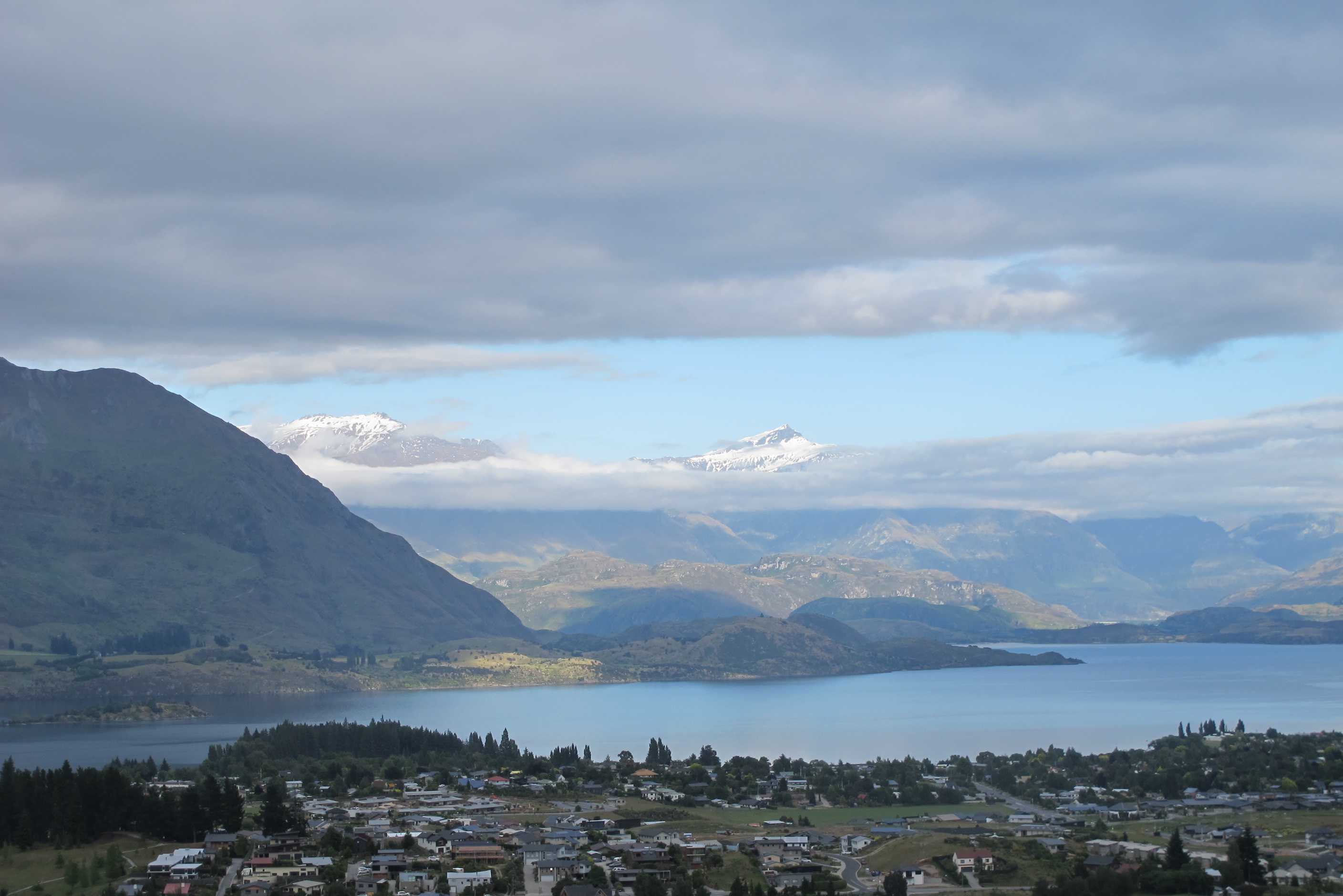
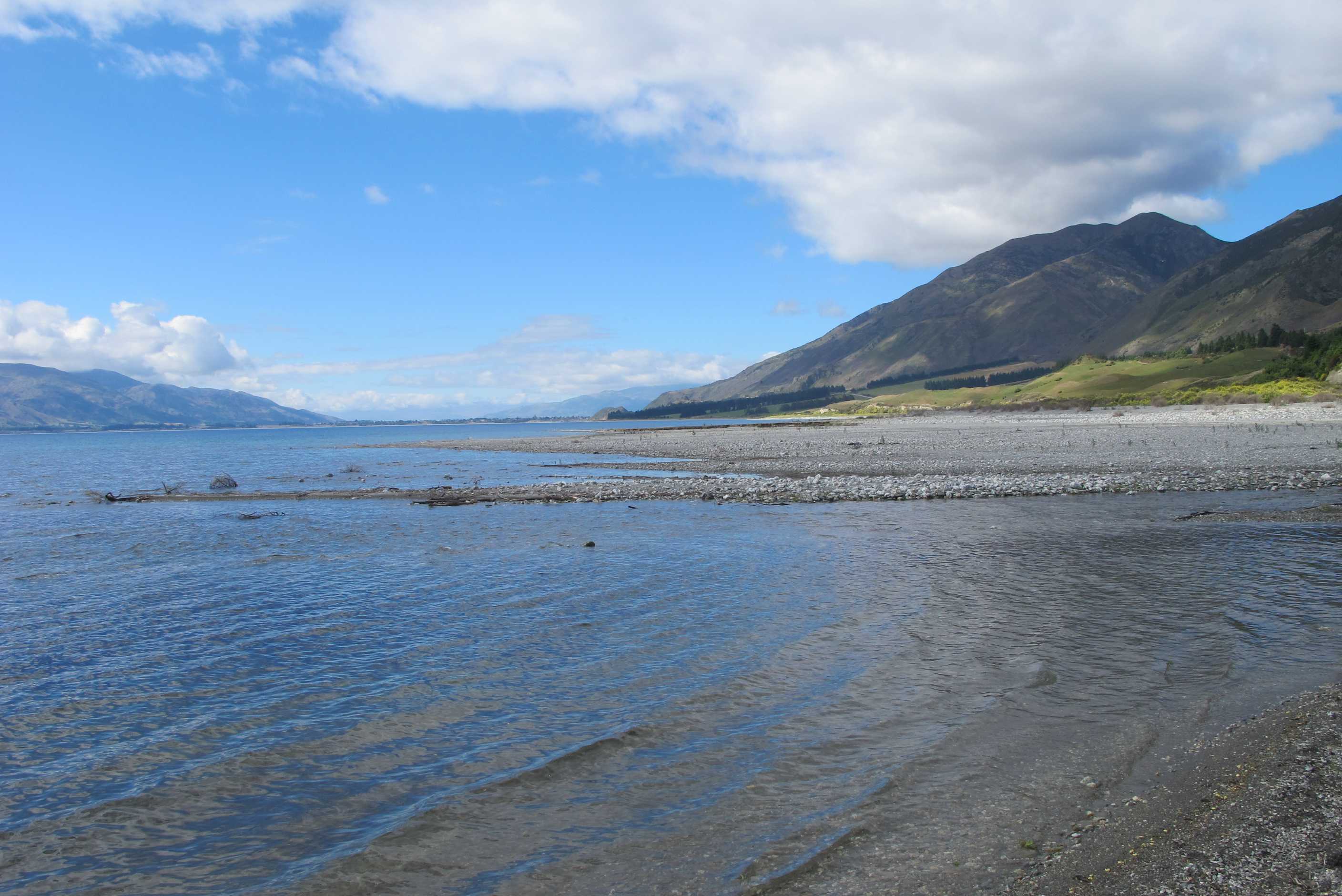
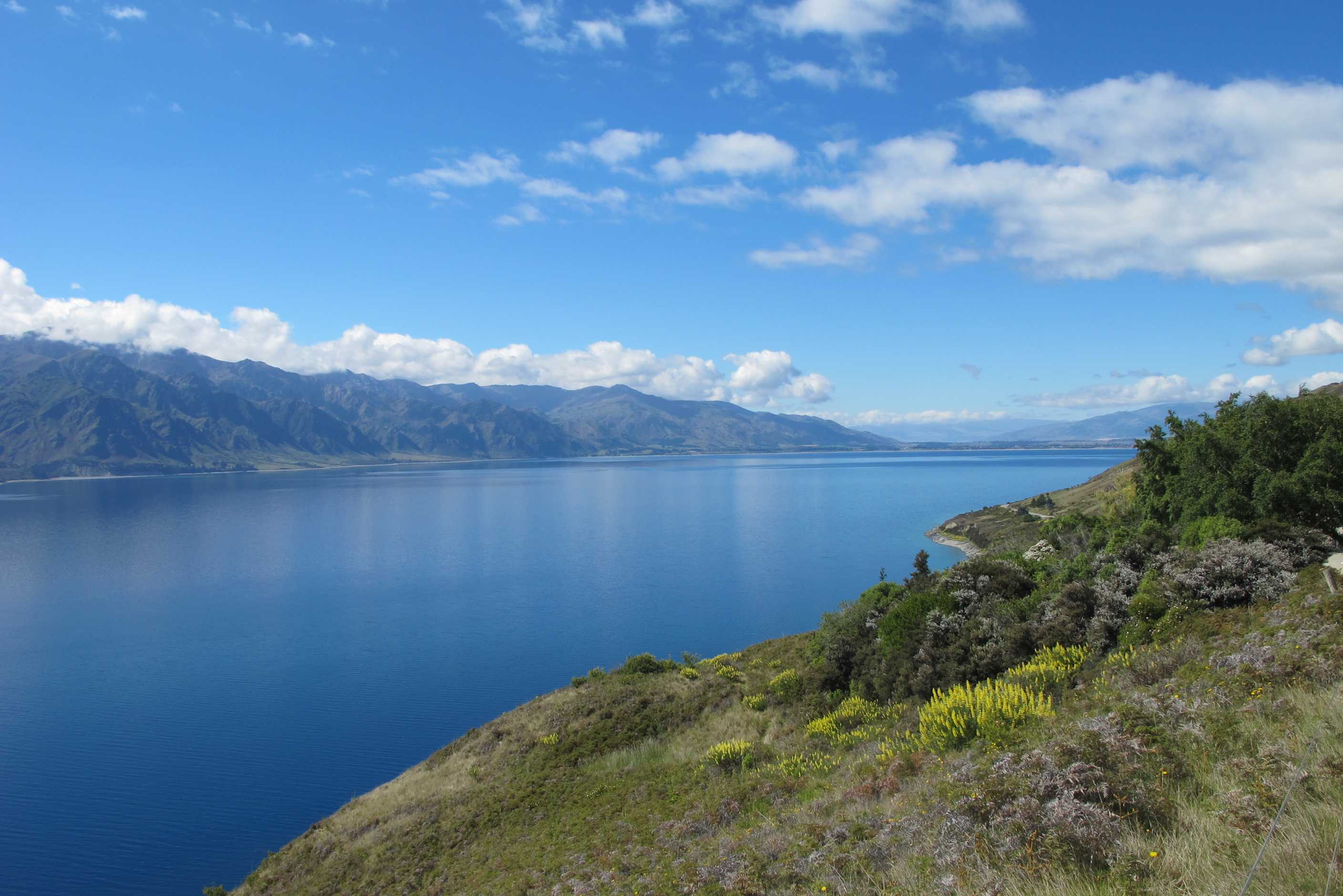
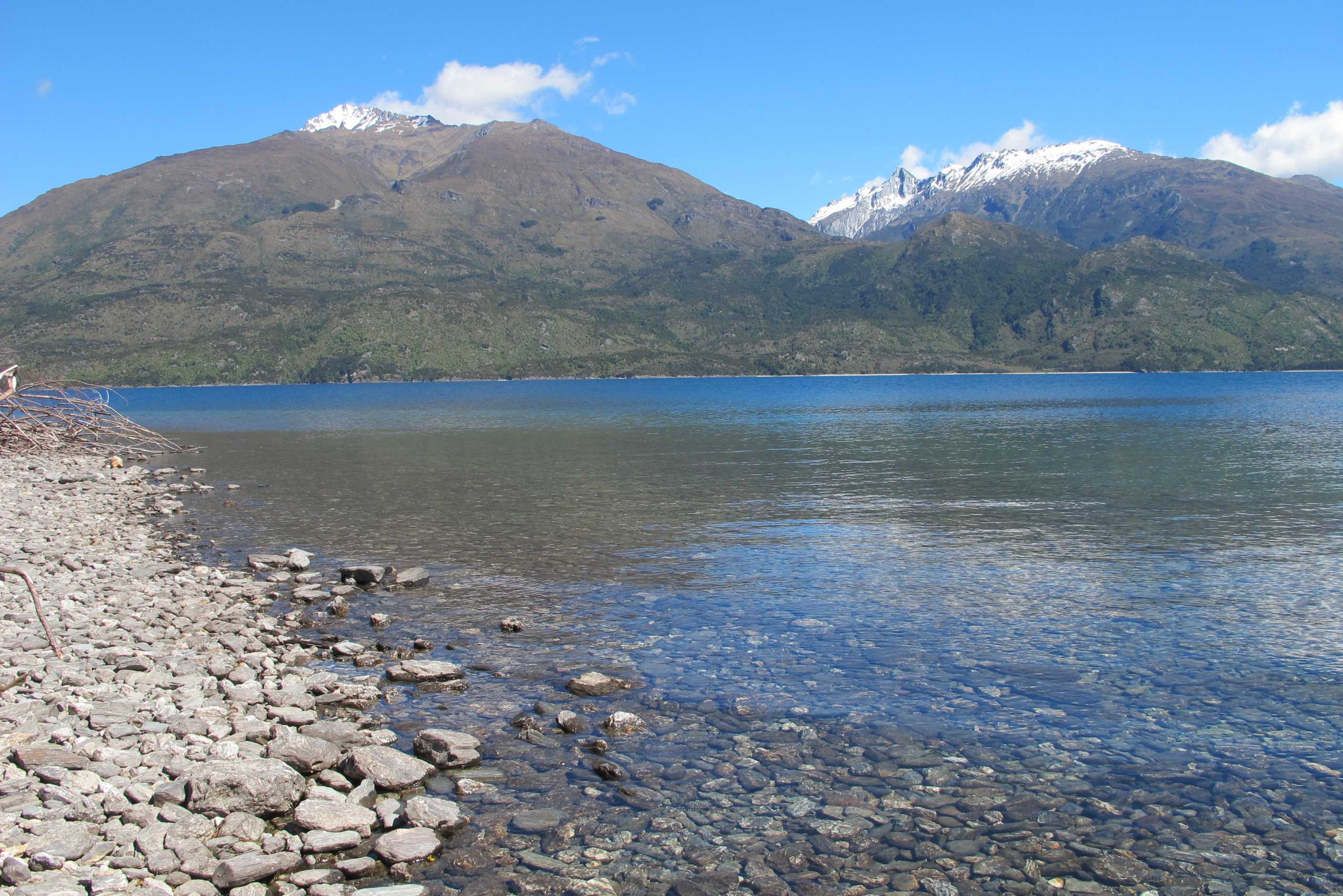
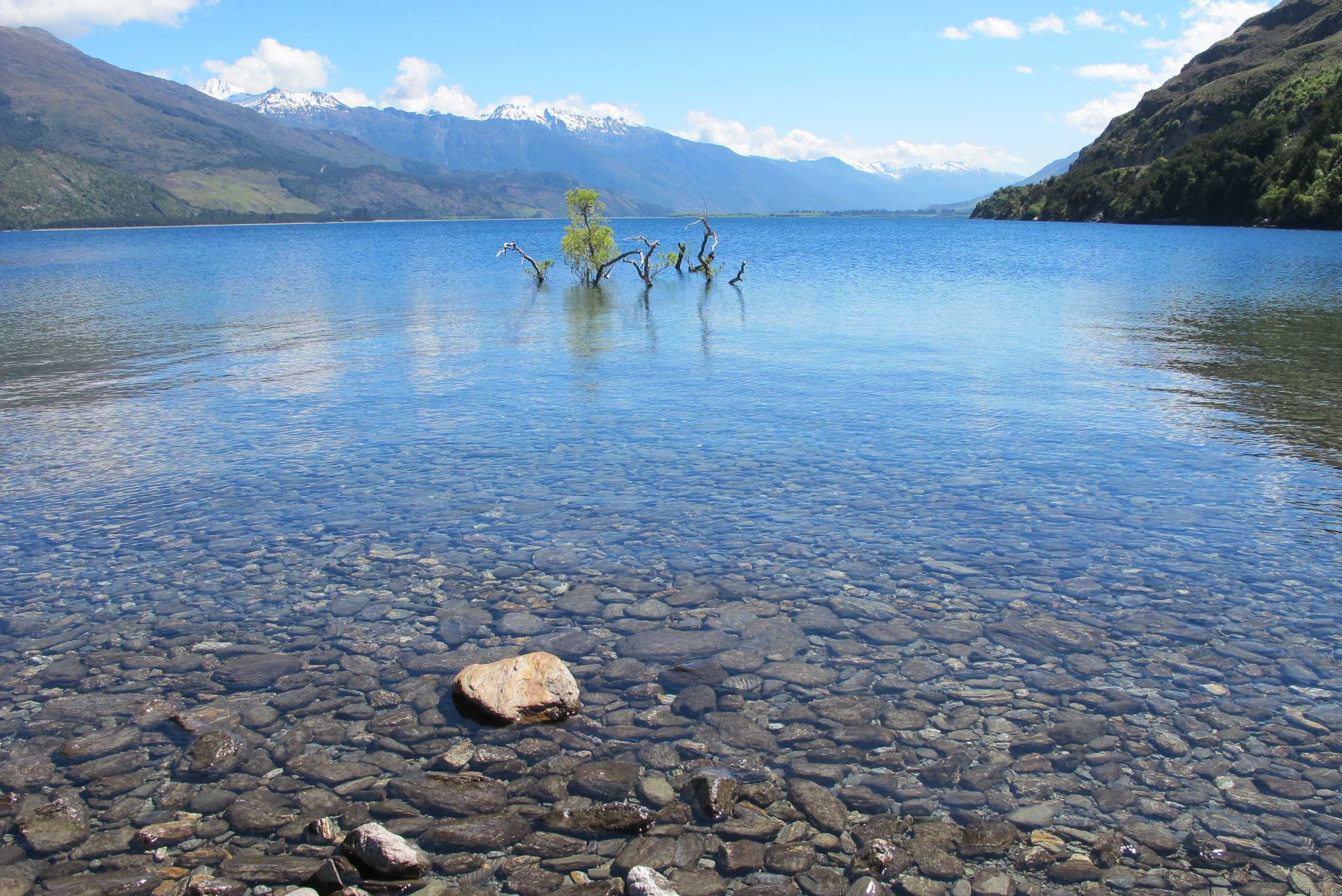
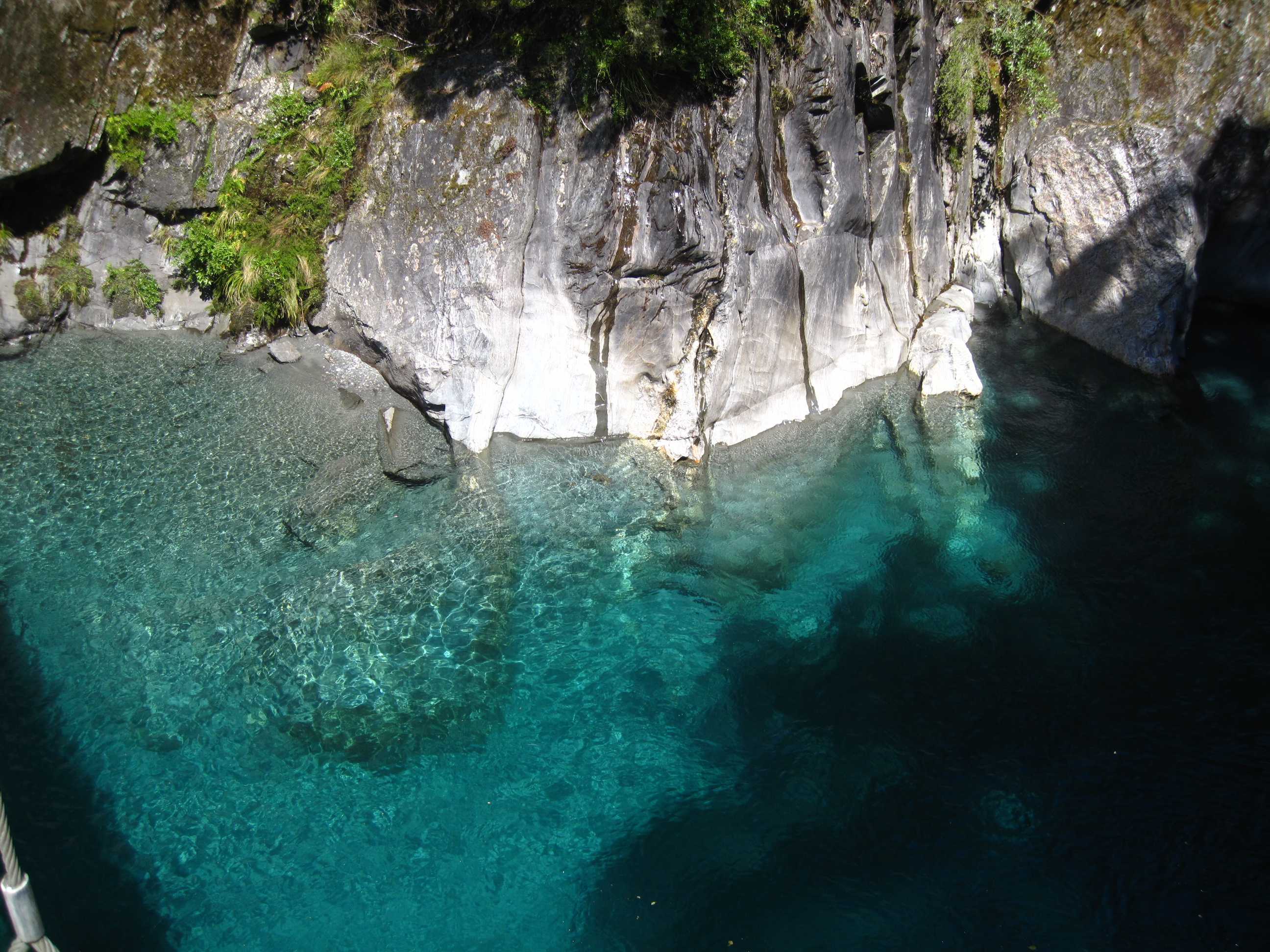
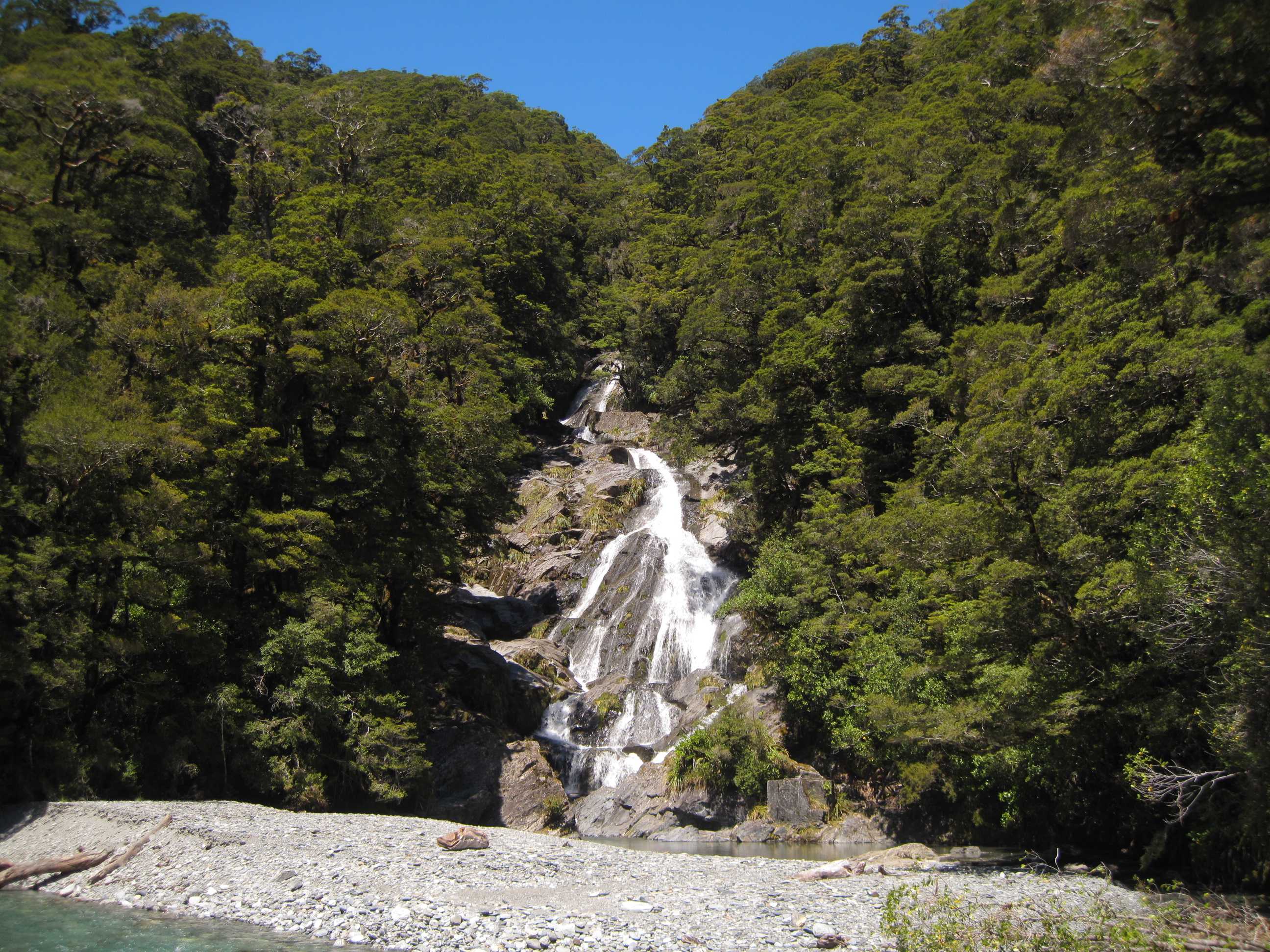
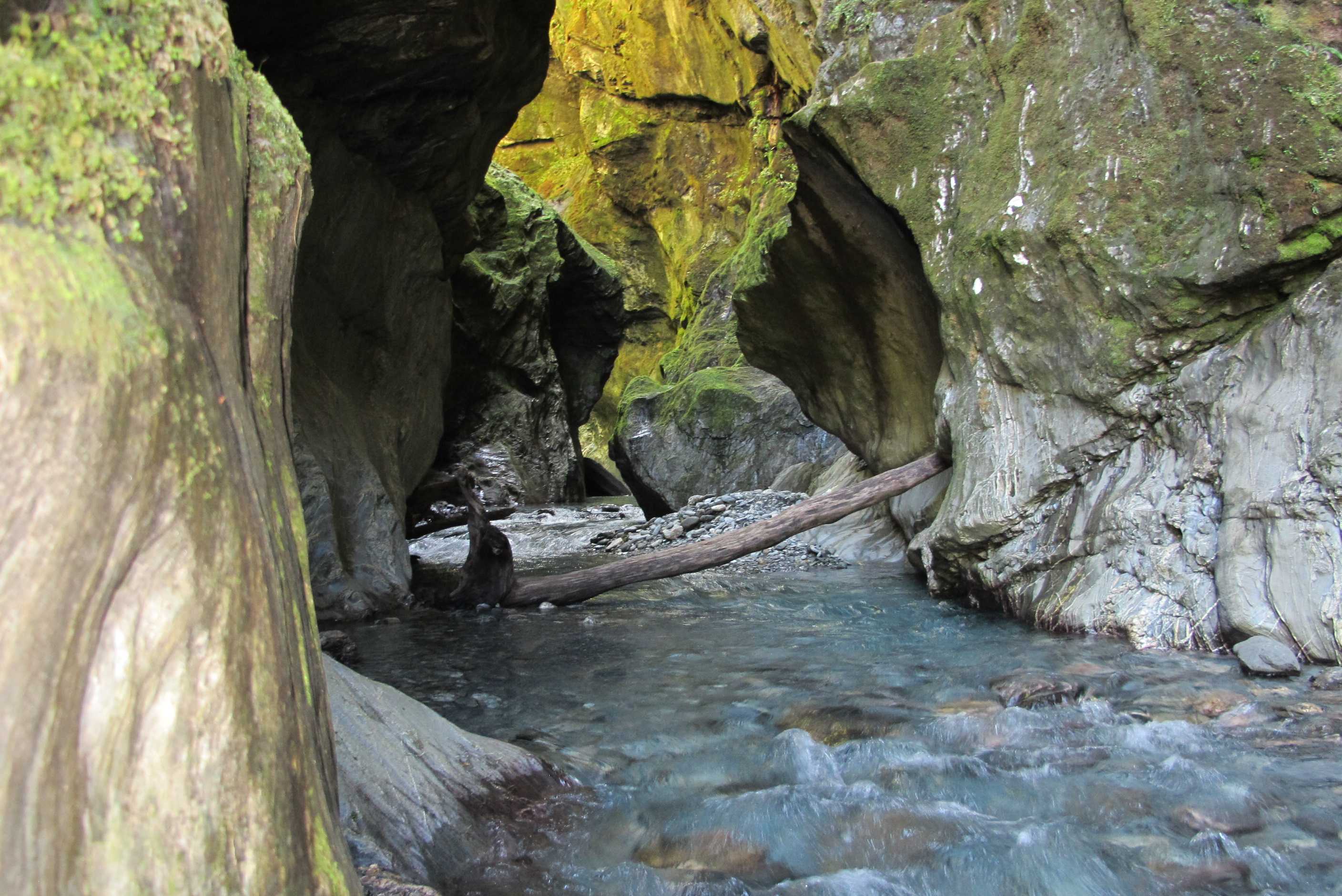
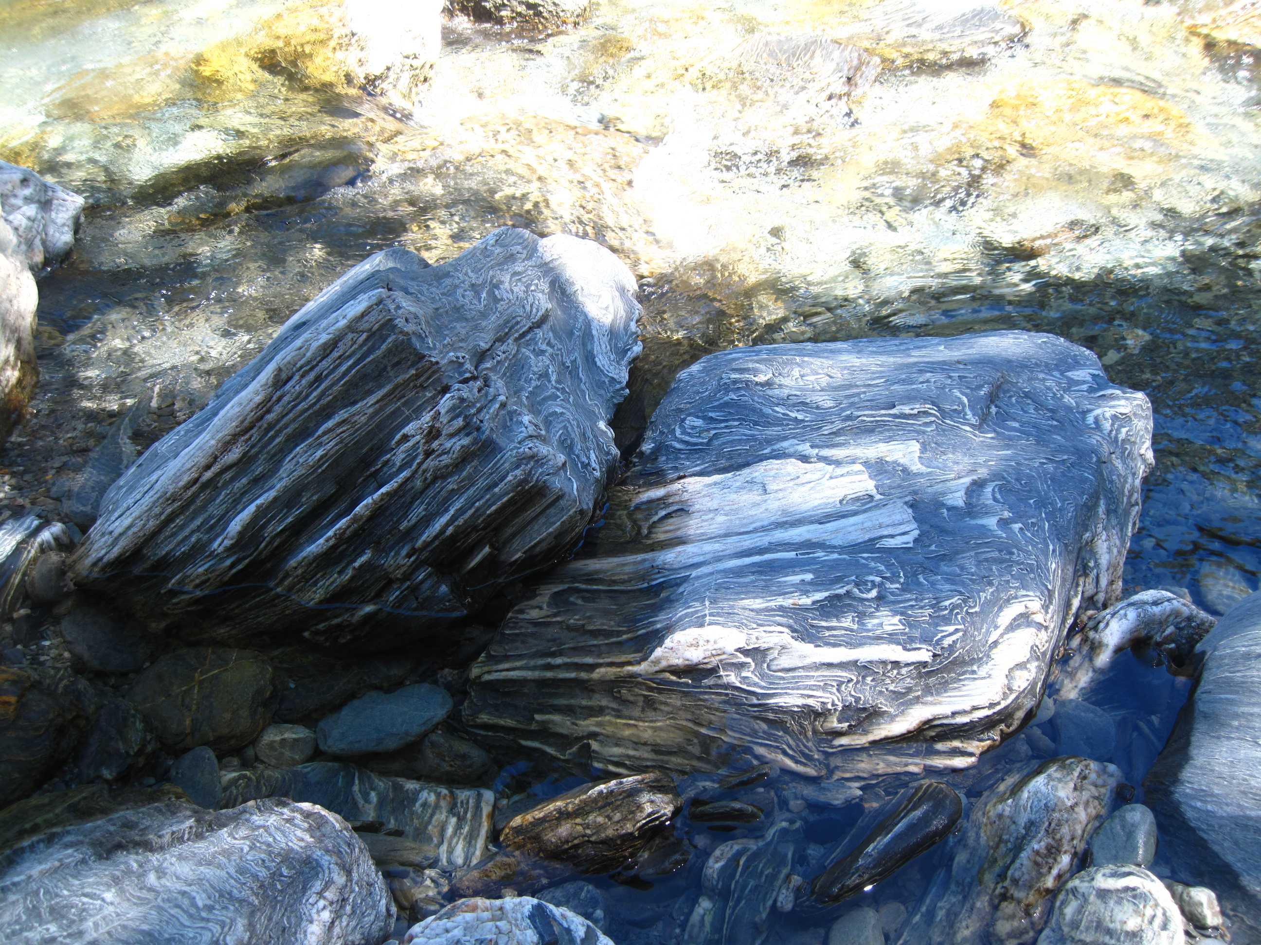
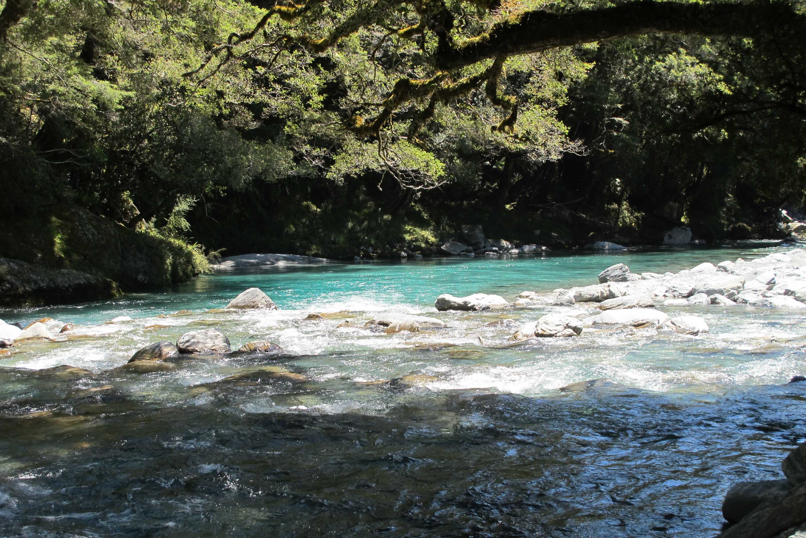
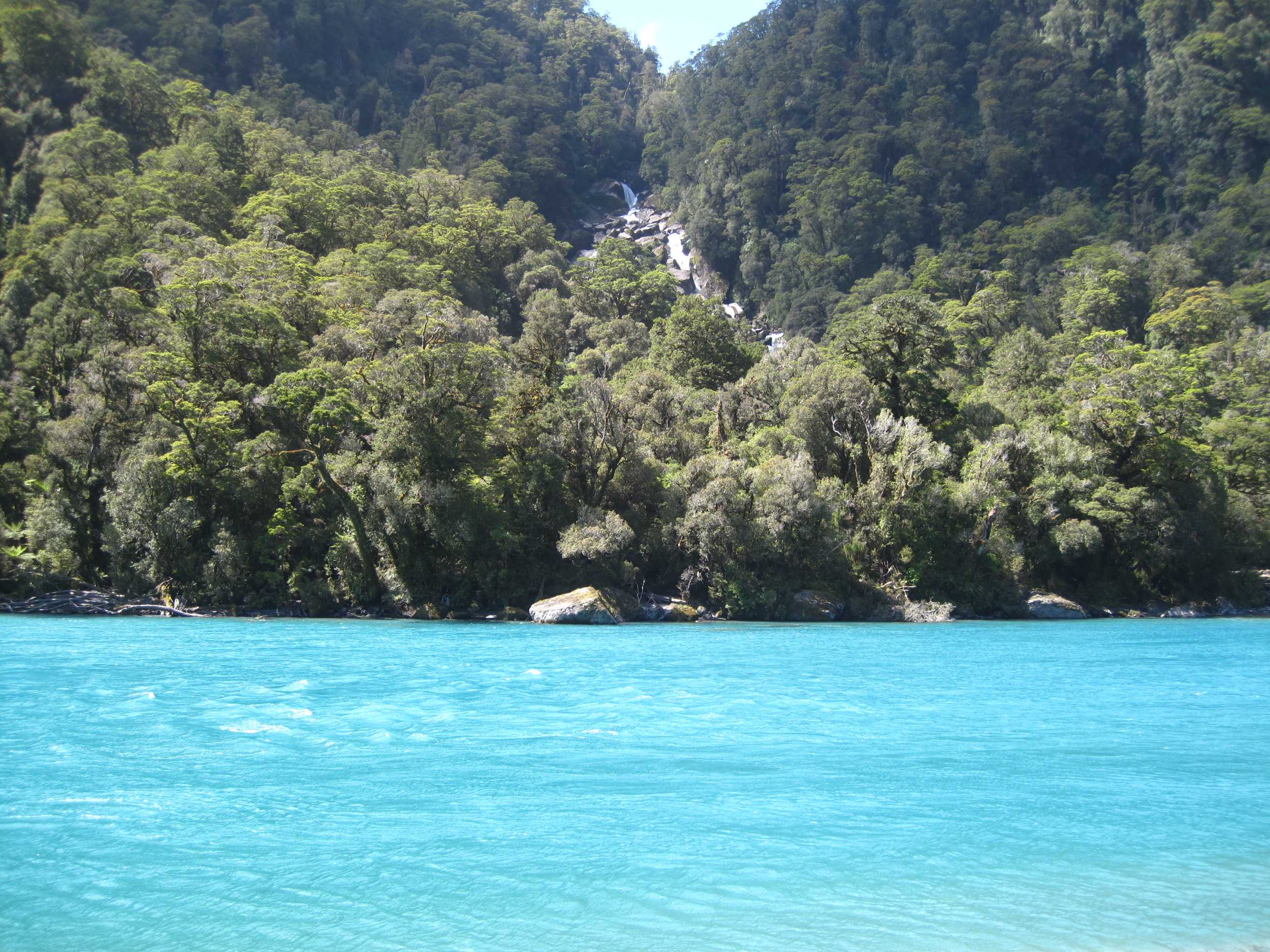
Got up quite early and set off for the walk up Iron mountain. Lovely walk up, though quite steep in places. Took us all of 1 hour, stopping for photos on the way. Amazing views all the way up and 360 degrees from the top, Wow! Came down the other side and this was seriously steep in places, but a great way down. Back to camper tired but happy.
Wanaka looks like a lovely town, very pretty, but as always we were on the move. The drive alongside Lake Wanaka and Lake Hawea was stunning, one incredible view after another. Hard not to stop every couple of Km. Boundary Creek was gorgeous with a lovely waterfall. Then Makaroa blue pools, gorgeous but I was sorry I did not know you could swim there and had nothing! So gave it a miss. Some guys were jumping off absurd heights, good to watch!
Then on to Fantail Falls, lovely and then to Wilson Creek. This was a mini adventure! There was an historic plank bridge which we walked on, then we scrambled down to the mountain river below. We then climbed/scrambled over the rocks next to the Rapids. Then we walked up the river for a hundred or so meters to the slot canyon. We were thigh deep in places and it was freezing! Feet numb within seconds and painful on the legs. Great to see though, then we had to scramble back. Quite exhilarating!
We continued the road that was Haast Pass, so very pretty and so many stops to make. Next was Thunder Falls, fabulous and I walked along to yet another bright turquoise pool. Thank goodness for crocs, enabled me to scramble on rocks and through the water. Then Roaring Billy falls, a lovely walk through interesting forest to get there, Neil even climbed inside a tree trunk for a photo, I gave it a miss as looked a little cobwebby! and again we were knocked out by the blue river. Had another paddle! I just love getting my feet wet! Neil's excuse was he had the wrong shoes on!! This was all lovely but sand flies were a bit of a problem, we will have a few more red bumps to count later. For me it is a shock as mosquitos don't like me but these little bugg......... Do!!
Went to a camp site as needed to sort grey water and I had a pile of washing! Early bed as quite tired again. Making our way towards the glaciers tomorrow, looking forward to it.
Got up, stepped out of the motorhome and within less than a minute was over the stile and onto the Iron Mountain loop. This takes about an hour and three quarters to walk comfortably and take in the views. The path rises to the top of iron montain, a change in elevation of about 275 metres. Going clockwise you go up a long but not too steep incline to get to the top, then you come down a shorter, but steeper slope on the way back down. The 360° views from the triangulation survey mark at the top are great. You can see the lake and snow-covered mountains as well as Wanaka itself and even Puzzling World - you can spot the maze and could use this view to cheat when you visit!
Then it was North, up SH6 towards Haast. First you travel up the East side of Lake Hawea, then the West side of Lake Wanaka. This drive rivals, and in our opinion betters the drive to Glenorchy and that is saying something. There are fabulous views and lots of places to pull over to the side to drink in the vistas. Half way up Lake Hawea we pulled over to get a close up view of Breast Hill on the other shore and then at the top we visited Bottom Bay. Someone with a scatalogical sense of humour must have decided these names were good ones.
Further North, 8 kms above Makarora Township, we came upon the Blue Pools. After a 15 minute walk from the car park you cross a swing bridge to a river that has the bluest water you could imagine. It eddied into lovely pools and there was a beach of sorts there. A Frenchman next to us on the bridge climbed over, offered to take Sue with him, and jumped in the water 10 or 15 metres below. Sue was really annoyed for not bringing any swimwear with us as she so desperately wanted to swim in the crystal clear blue waters. Though she would probably have been blue herself afterwards as the water was very cold.
We followed the Haast River valley and passed through the "Gates of Haast". There were waterfalls and little creeks galore. We stopped at one of the creeks (Wilson's Creek), where there is an old decrepit wooden bridge spanning the Wilson Gorge, next to the modern one. We climbed onto this old bridge and took some photos of the creek. Then we scrambled down to the small creek and boulder-hopped by the side of the water, then waded through it knee-deep, to see around the corner. While the water was freezing cold it was worth it to see the water spilling over rock formations with a huge rent in the rock going way up in the sky. We knew we were going to get wet so Neil decided to hide the keys to the motorhome in the undergrowth, rather than risk soaking them. Guess what? He then spent 10 minutes trying to find them again!
On this road we visited 4 waterfalls (it seemed like more), Boundary Creek, Fantail Falls, Thunder Falls and Roaring Billy Falls. All were spectacular in their own way. There were others we could have visited, but it was getting to be late afternoon and we had done a lot today and were quickly tiring. So we decided to stop at a holiday park at Haast River so Neil could sort out a small problem we had with the grey-water and Sue could do some laundry. It is a pleasant enough site, just of SH6, short of the main bridge over the Haast River. Tomorrow we journe to the Fox and Franz-Josef Glaciers - can't wait.
night |
kms |
Overnight Stay at |
Cost/night |
Facilities |
Wow Factor |
Photos |
|---|---|---|---|---|---|---|
| 31 | 177 | MacDonald's D.O.C. Campsite by the river | $26 | 1 | 2 |
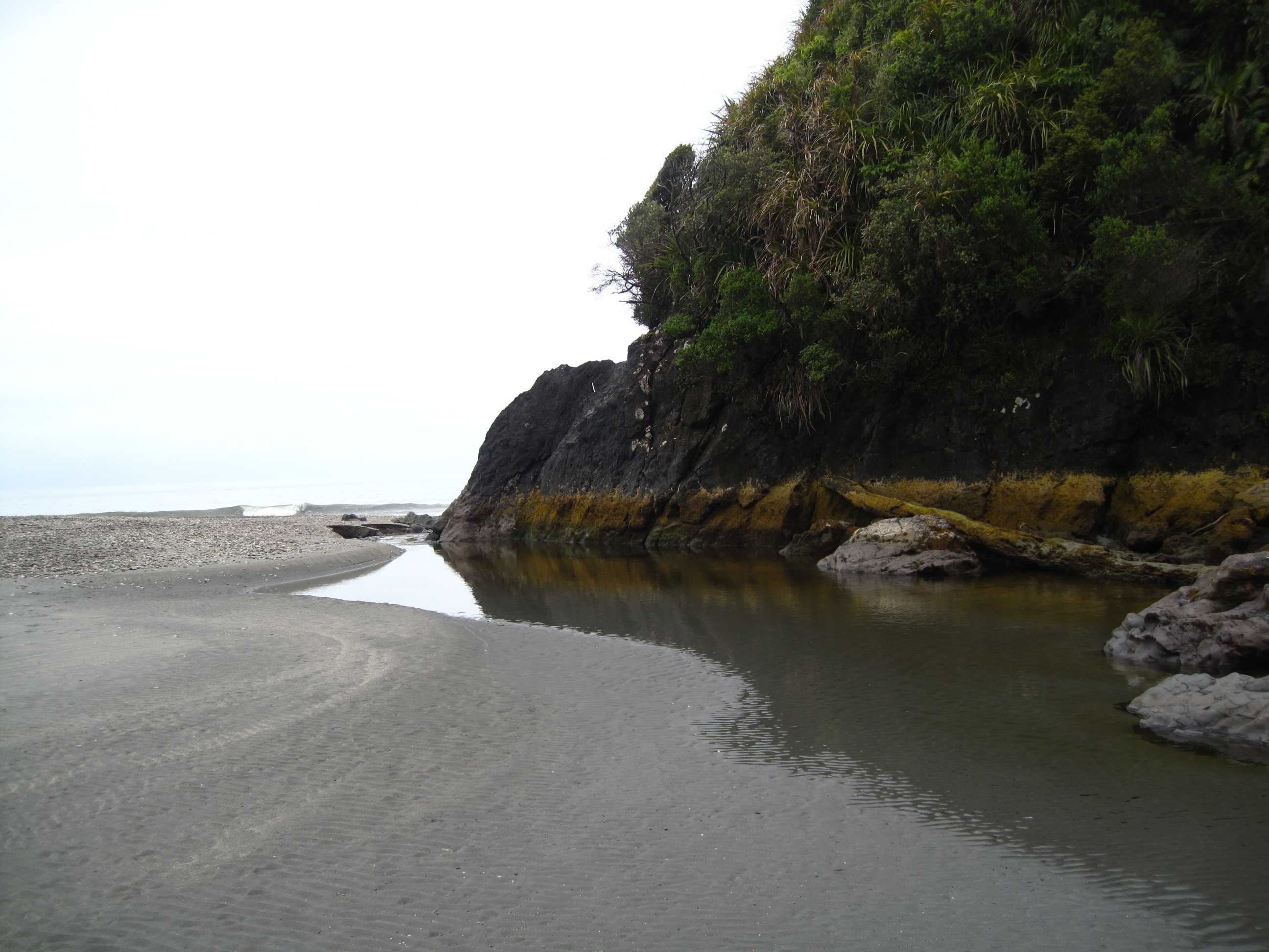
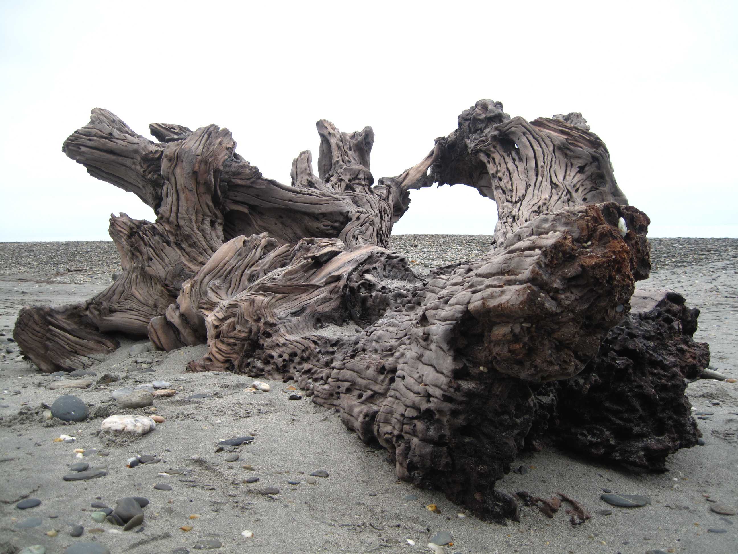
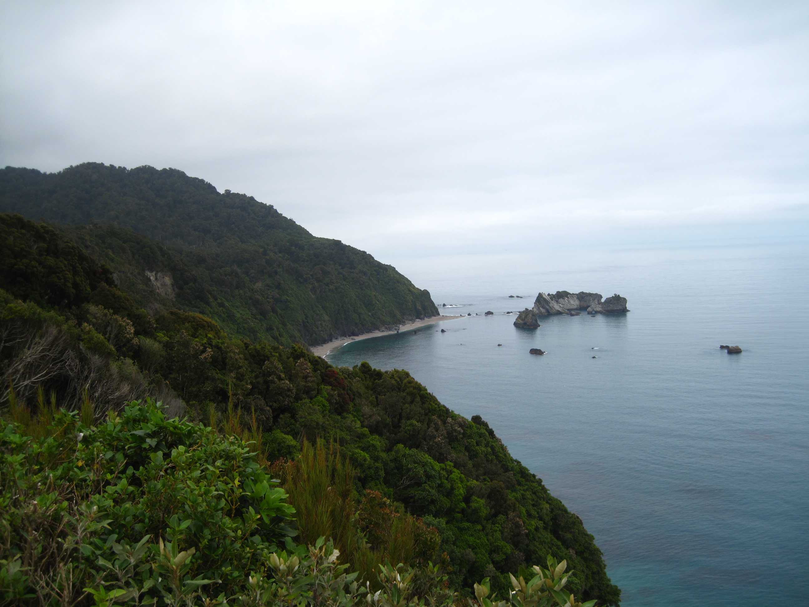
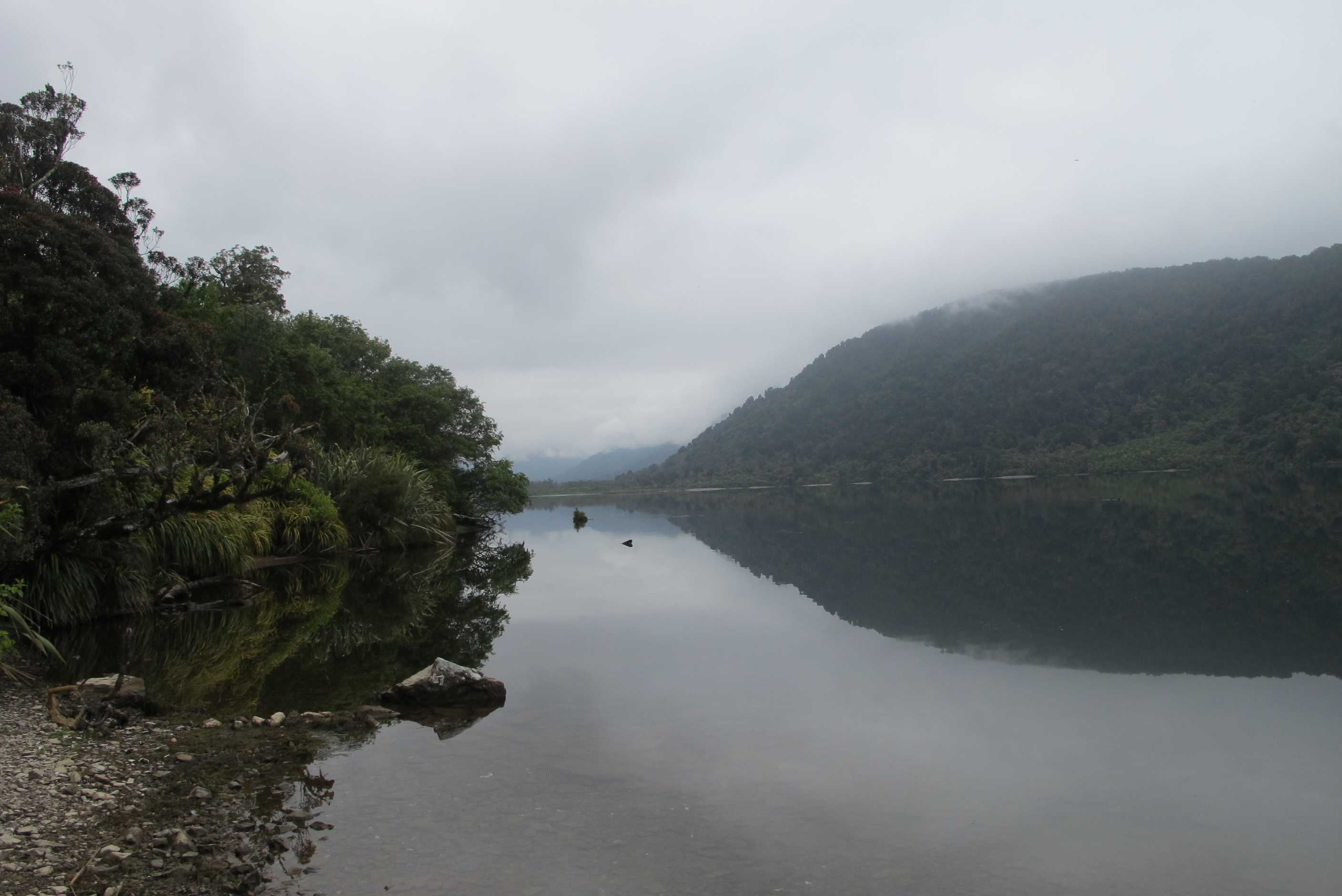
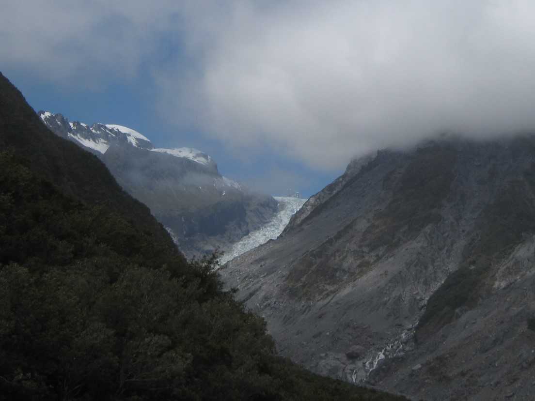
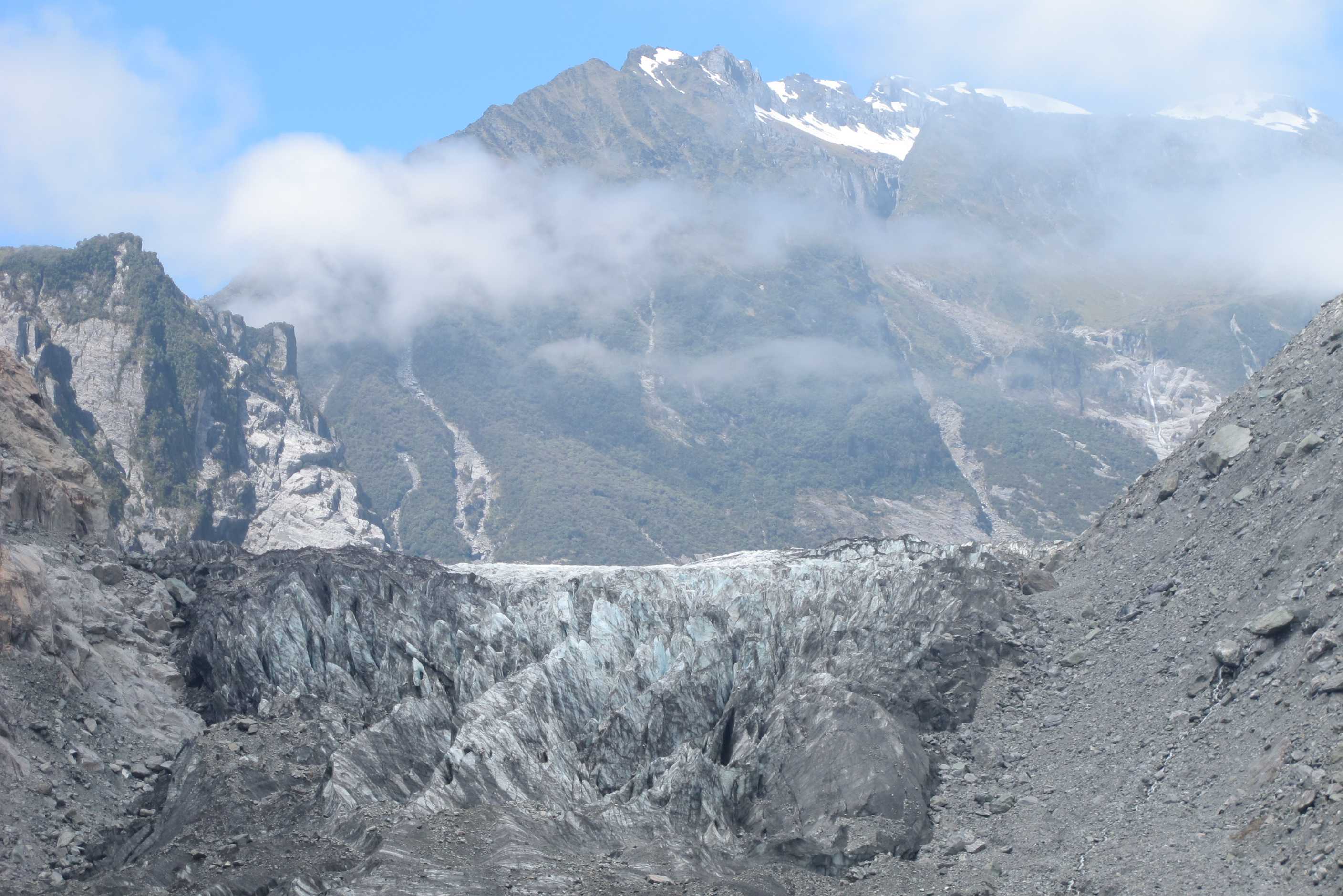
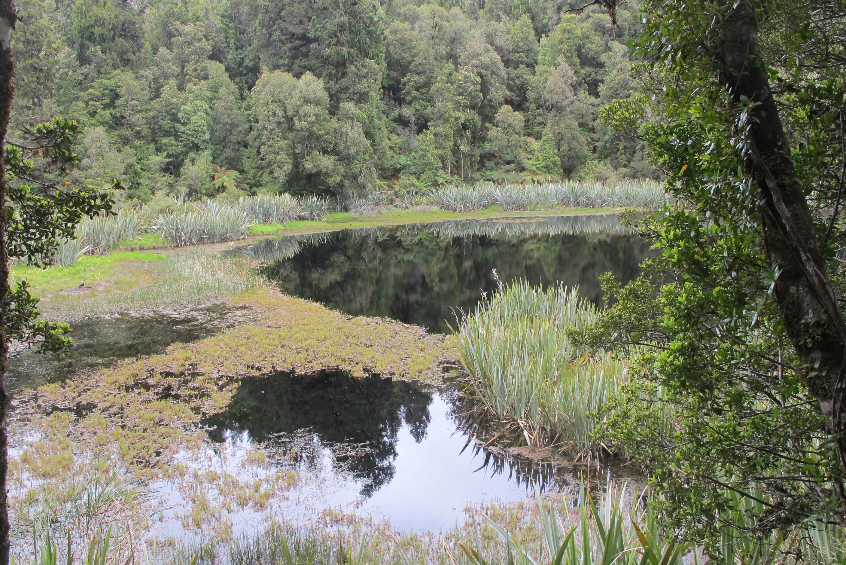
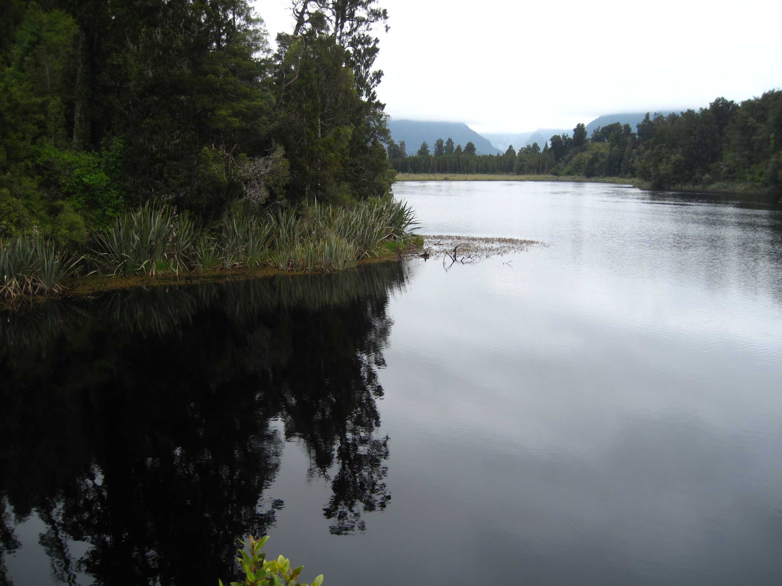
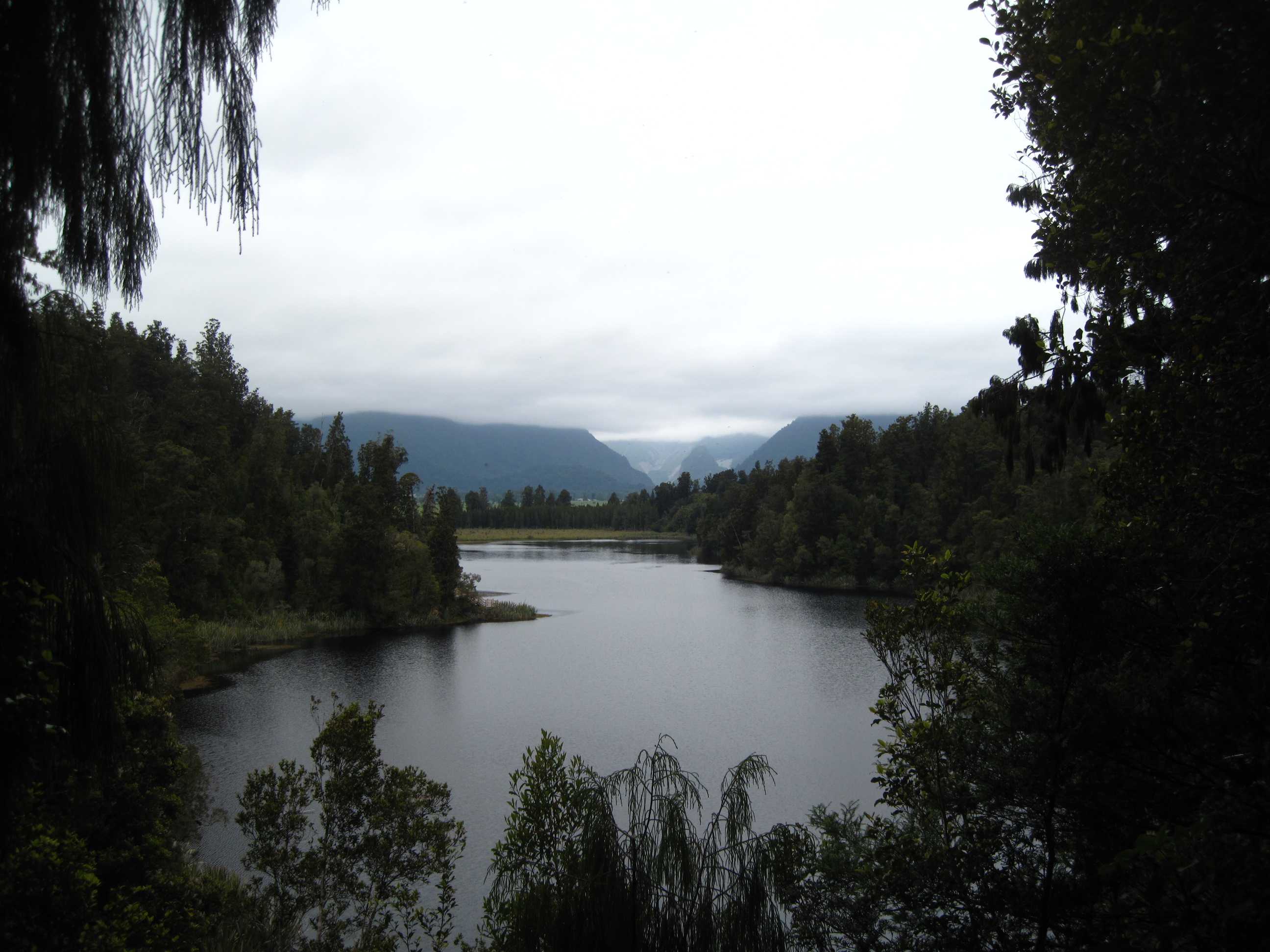
Set off on a slightly cloudy morning for the short drive to Ships Creek. The minute we stepped out from the van, we were surrounded by sandflies. They bite, are present in most of New Zealand but particularly prevalent this part of the coast. We 'deeted' up and started for the dunes. Then as we came over the top to the most amazing view of the sea, we saw dolphins playing all along the surf! They must have been feeding to stay so long but we watched them jumping, spinning and riding the waves, it was incredible.We stayed for ages but finally had to leave, what an unexpected treat!
Then on to Knights Point for some fab views up and down the west coast. Shame a little misty, but still lovely. We stopped at Lakes Moeraki and Paringa for some views. Mirror reflections stunning and mistiness quite atmospheric. Further up the road, we saw a salmon farm and with memories of the last salmon we bought fresh in our minds, we called in. What a lovely place, lovely shop, where we stocked up on some sandfly repellent the locals use, very friendly staff and great food. We opted for an eary lunch of sashimi and salmon quiche, fantastic! We also left with some smoked salmon and pate for dinner! Good decision to stop.
Next Fox glacier. Arrived at the car park to find quite a few cars and campers! What a view though! The river and high sided cliffs and glacier in the distance was amazing. Quite shocking though, to find out just how far the 'snout' (leading tip of the glacier) had receded. It is truly shocking how quickly this is happening and absolute proof that global warming does indeed exist but is scarily effective!!! We then walked the hour beside the river bed, past waterfalls and interesting rocks and then steeply up to the viewpoint to see the glacier. Could only see the bottom part, but still very impressive. Walk down was a little scrabbly in parts but made it back safe and sound. We were very lucky as although it was a generally cloudy day it was very warm and blue sky and sun appeared when we got to the top!
Next stop Lake Mathieson, mirror lake. It was quite a long walk again but worth it. The sun was not shining so did not get full views that can be possible, but it was still gorgeous. At the end though, after another long day, we were pretty shattered, so decided to find a camp for the night. Would you believe, family especially, we spent the night at McDonalds!! Lovely it was too. Quiet, serene surroundings next to a river. Not a happy meal in sight!
Kept in our van this evening as sandflies wanted more of our tasty flesh but we thought enough was enough!! I Have mentioned that the last day was quite cloudy. Not a problem as we have been so very lucky with the weather. It has been hot and sunny for quite a while, even locals were commenting how great it was. Even on cloudy or slightly wetter days, we have avoided most of it and things seemed to have cleared for us at the right moment. Lets hope it continues, but if not, so be it, we have been so very lucky so far!
Crossed the Haast River over a long single-lane bridge. It was so long it had two passing places along it. Just after we had passed over it a cyclist went in the opposite direction. He probably held up the traffic for 5 or 10 minutes! Next we came to Ships Creek, where we got out of the motorhome and were inundated by sand-flies. These are a pest up most of the West coast, but this was ridiculous, even with bug-repellant on they would find places you'd missed, like between your fingers, and attack!! Walked on the beach and immediately saw a pod of about 20 dolphins, split up in smaller groups of three or four. Several of them were swimming parallel to the beach just a few metres out, probably hoovering up the whitebait that frequent these waters. One dolphin was particularly frisky leaping out of the water and performing tail smacks. It was magical. We watched them for about half an hour.
Then we drove to Knights Point, which is basically just a photo opportunity of the West Coast, but when I say "just" it doesn't do it justice. The views are lovely and on a bright sunny day, which unfortunately this wasn't, it would be to die for. Then after providing a tasty snack for the sand-flies we went on to Lake Paringa. Once bitten ---- we decided to smear bug-repellant over every exposed bit of flesh and you could see the sandflies try to land on you, take one wiff then fly away looking for sweeter-smelling flesh. Lake Paringa was very "mirror-like" so amenable to some nice photos. Then it was on to Fox Glacier.
on the way we passed a slamon farm with a cafe. As we zoomed past we looked at each other and said "lunch", so 1½ kms down the road, which was the first convenient place to turn back we made our way there. What a lovely place. They had 5 large tanks for the salmon and some swimming in water outside these. The cafe was lovely, very clean and served by very friendly staff. We had salmon sashimi to start with followed by salmon and egg quiche and carrot cake. It was all very fresh and extremely tasty. Then Sue was about to buy a big can of bug repellant when the lady at the counter told her that the roll-on was much better - it was what the locals use. She could see Neil doing the "West Coast Haka", you know, slap your arms, then your thighs, legs and head and repeat and said this would prevent that.
Fox Glacier was great, unfortunately it is retreating at a huge number of knots. The original viewing area from just 2 years ago no longer gives a view, so the D.O.C. has build a new one, half a kilomiter further up the valley (and further for you to walk). But the walk, most of it uphill is still worth it. One wonders though how much longer this viewing platform will be used. There is something wonderful about seeing huge amounts of ice in this state, while being warm, in a tee-shirt and shorts.
From the glacier we went to Lake Matheson, for another 1½-hour walk round it - we are gluttons for punishment. If, as we did, you go clockwise round it the walk starts out a bit boring as the lake is mostly obscured by trees and NZ flax in the water. However the second half of the walk has some stunning views. Then we had to make an executive decision because of the time and we decided to miss out Franz-Josef Glacier. The books say it is difficult to see anyway without going on an official guided tour. We did stop off in the town to get some provisions from what must be the busiesy grocery store in NZ, then went to the Otto McDonald D.O.C. campside next to Lake Mapourika, which has the distinction of having the smelliest toilet I've visited in NZ. Though still a nice place to stay.
night |
kms |
Overnight Stay at |
Cost/night |
Facilities |
Wow Factor |
Photos |
|---|---|---|---|---|---|---|
| 32 | 231 | Cobden Beach (Freedom Camping) | 0 | 1 | 5 |
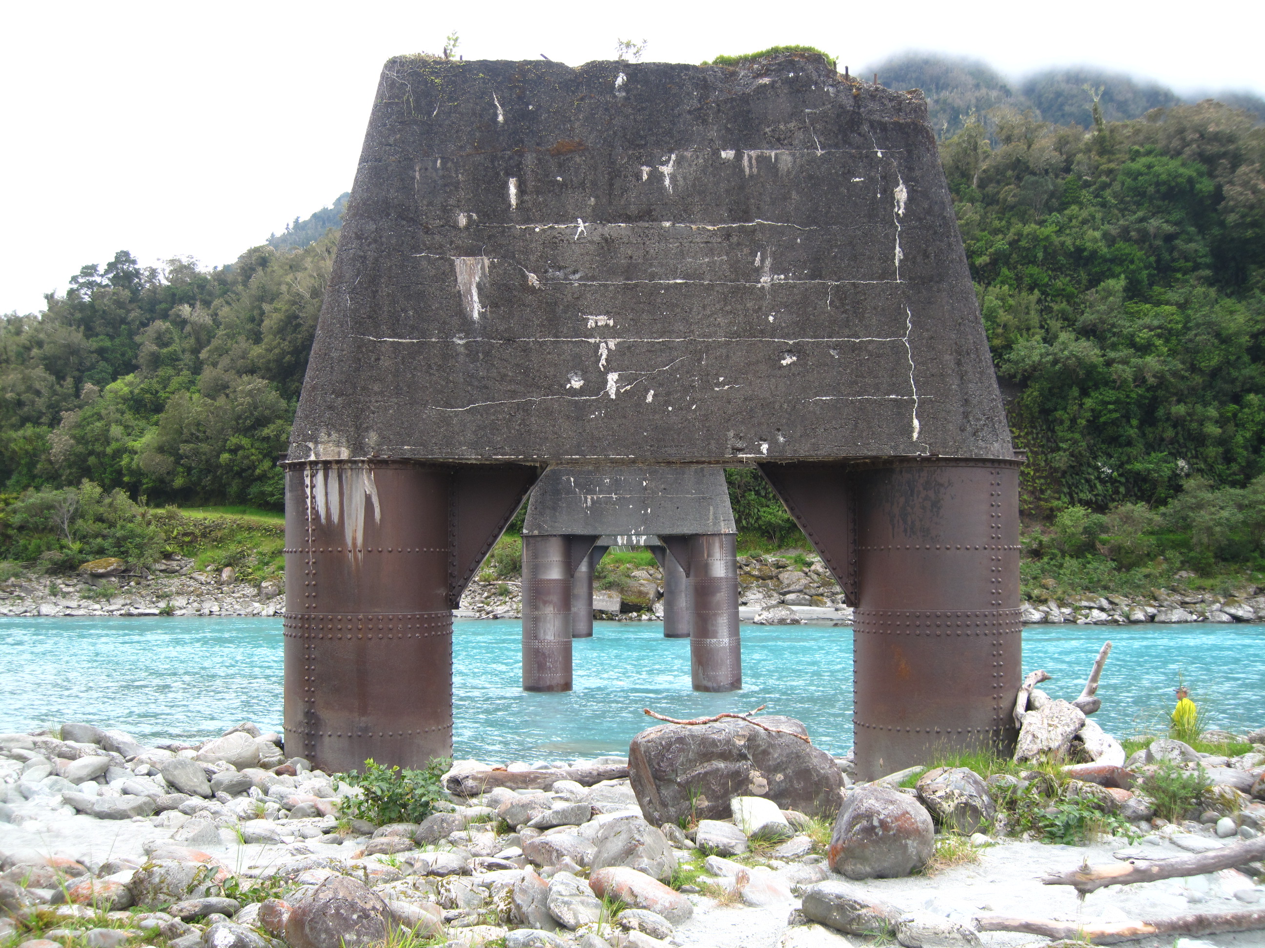
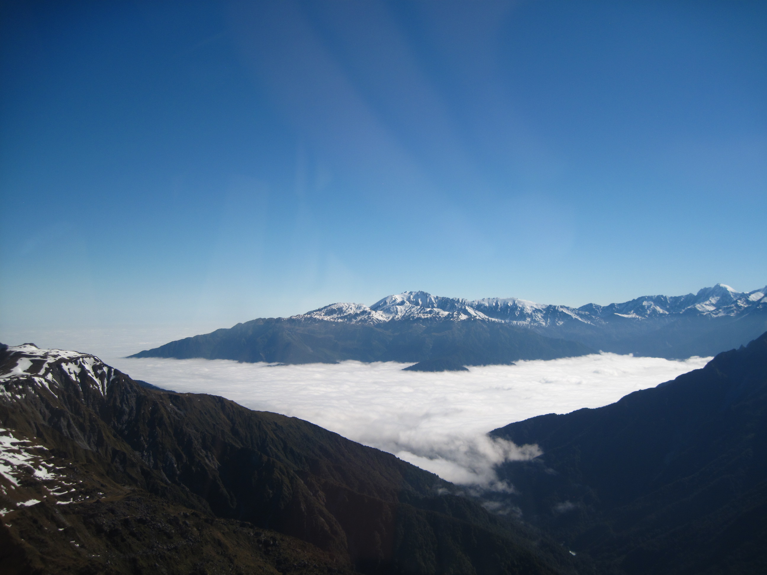
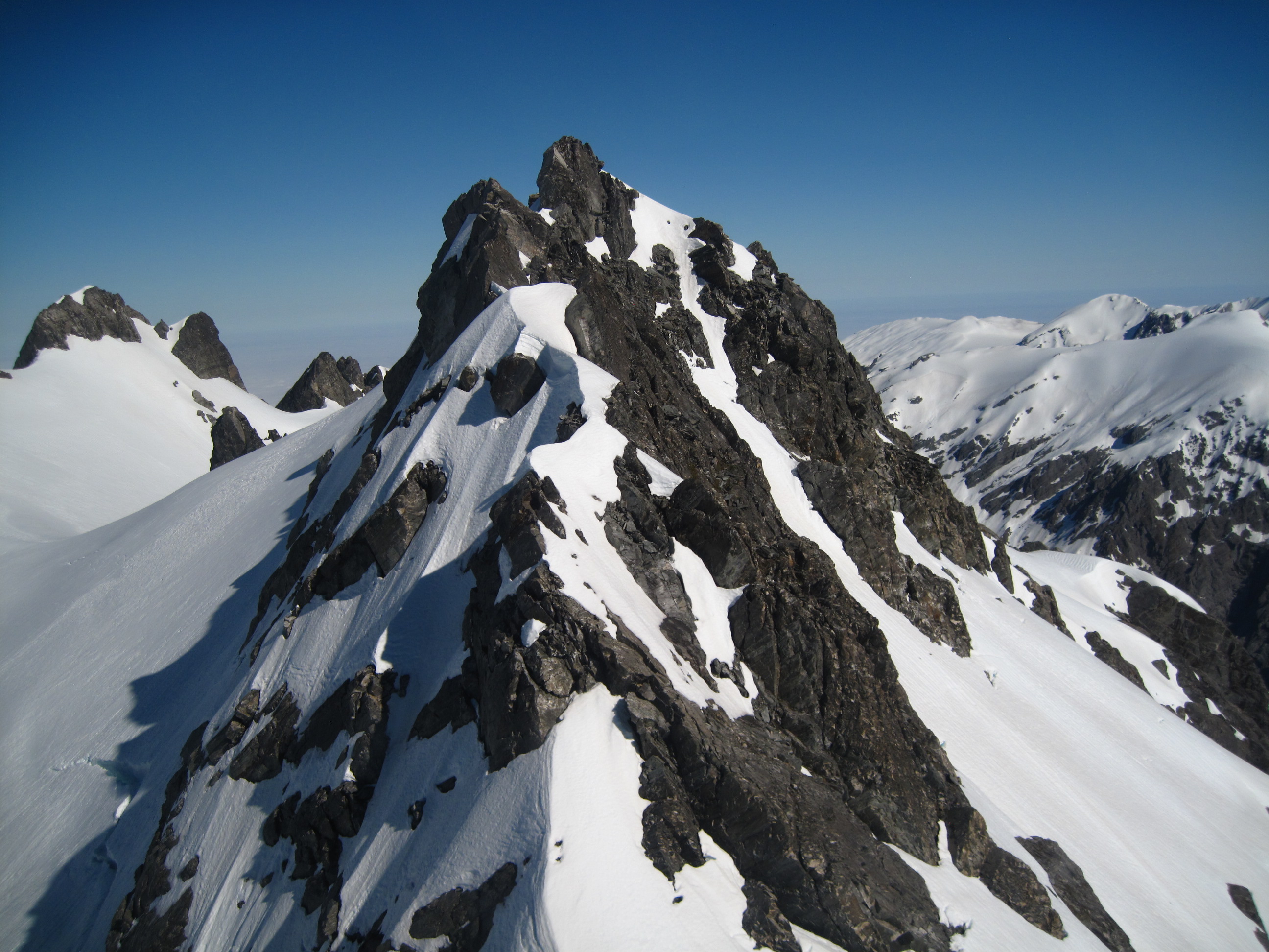
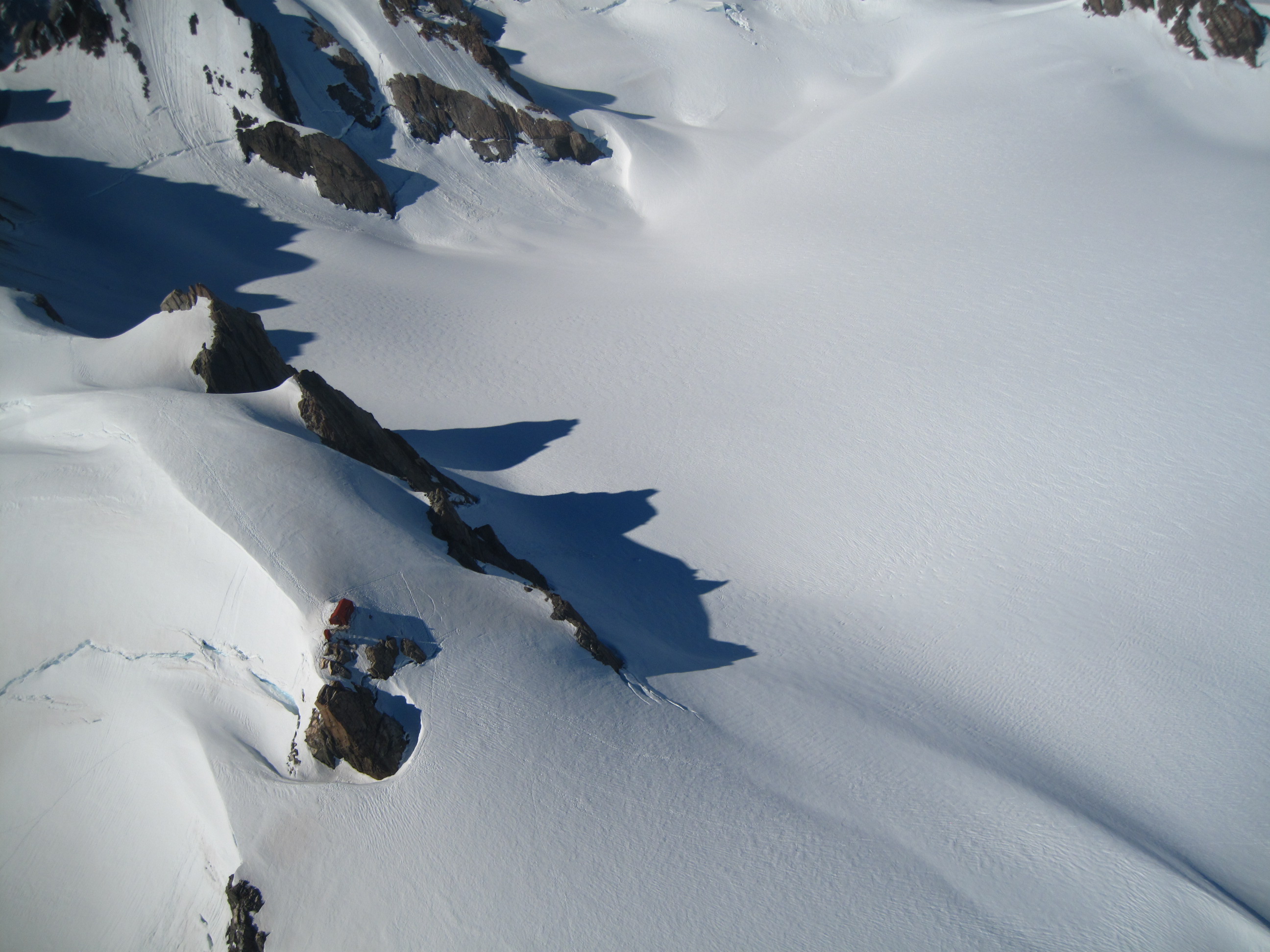
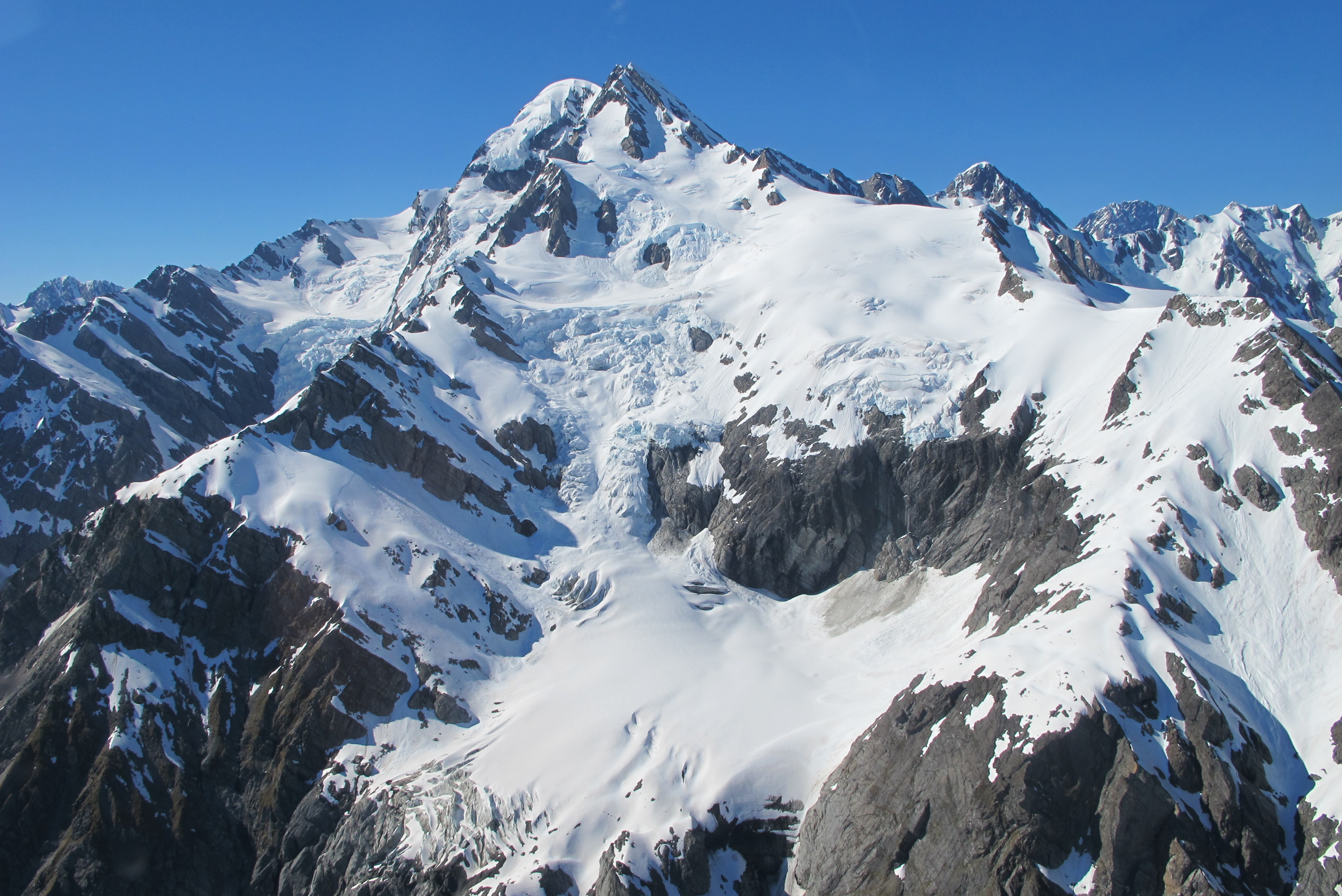
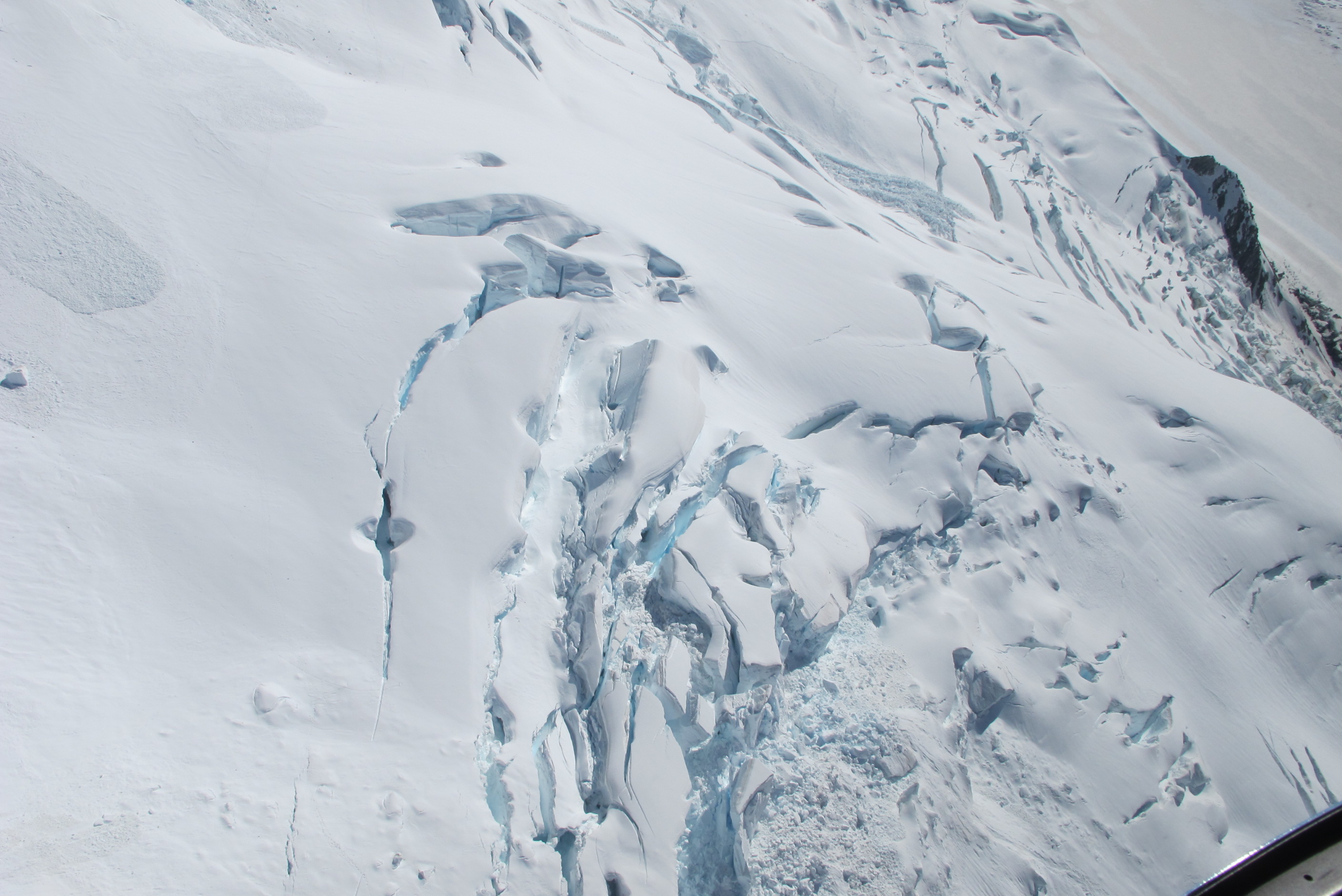
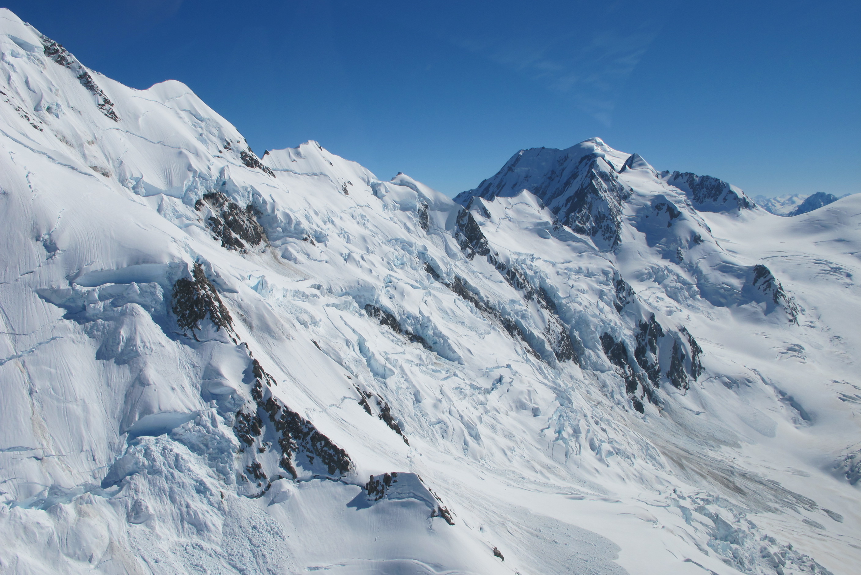
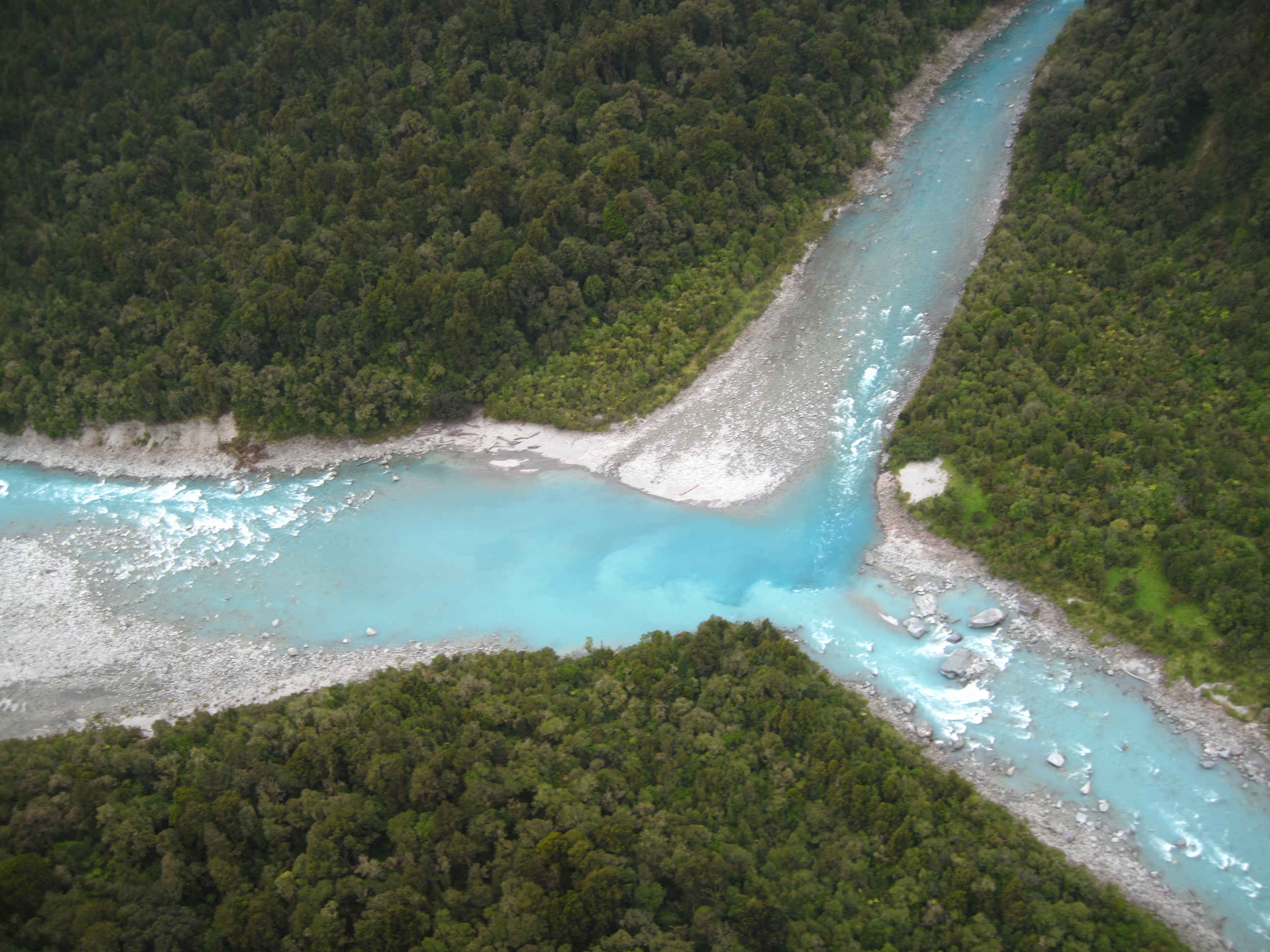
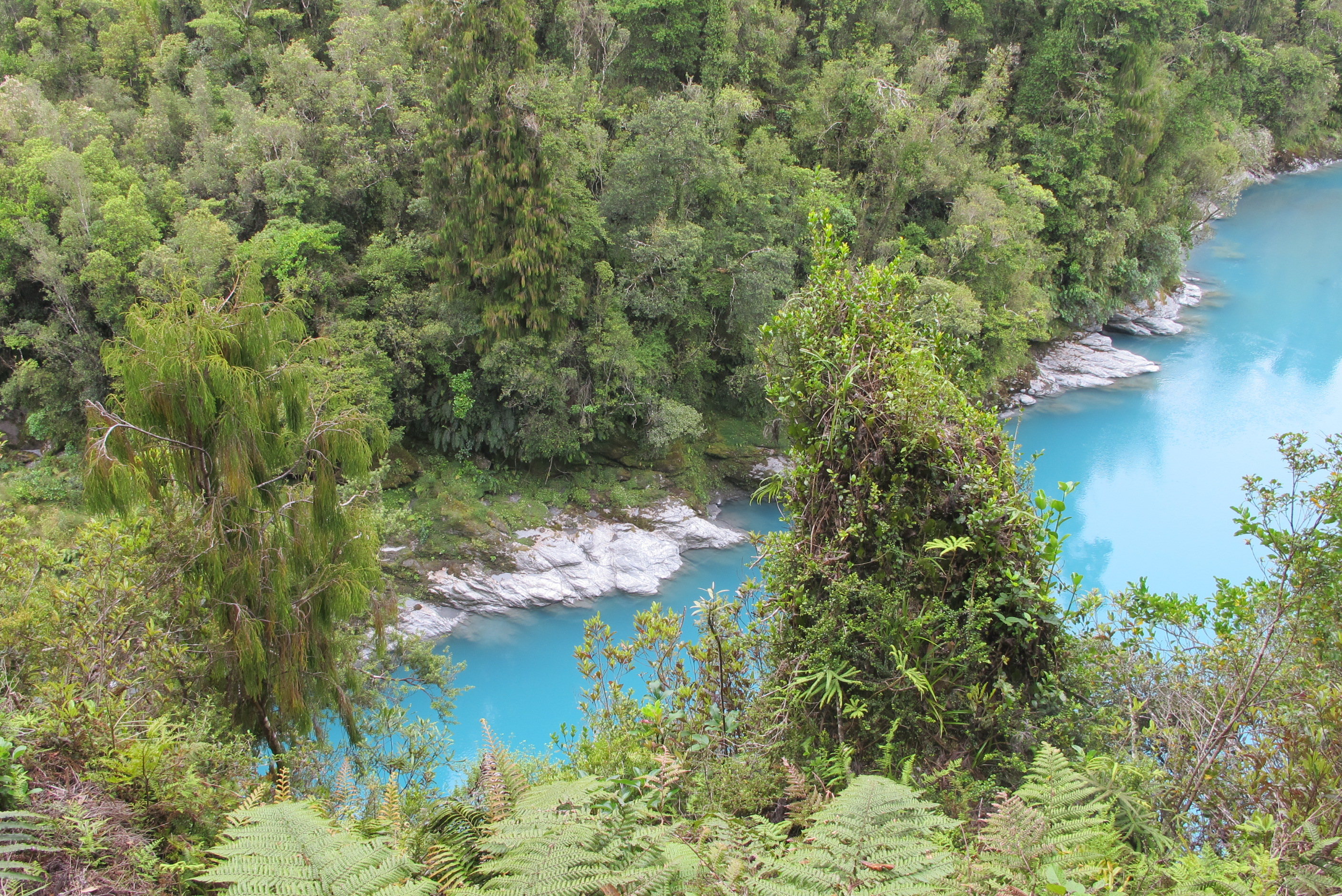
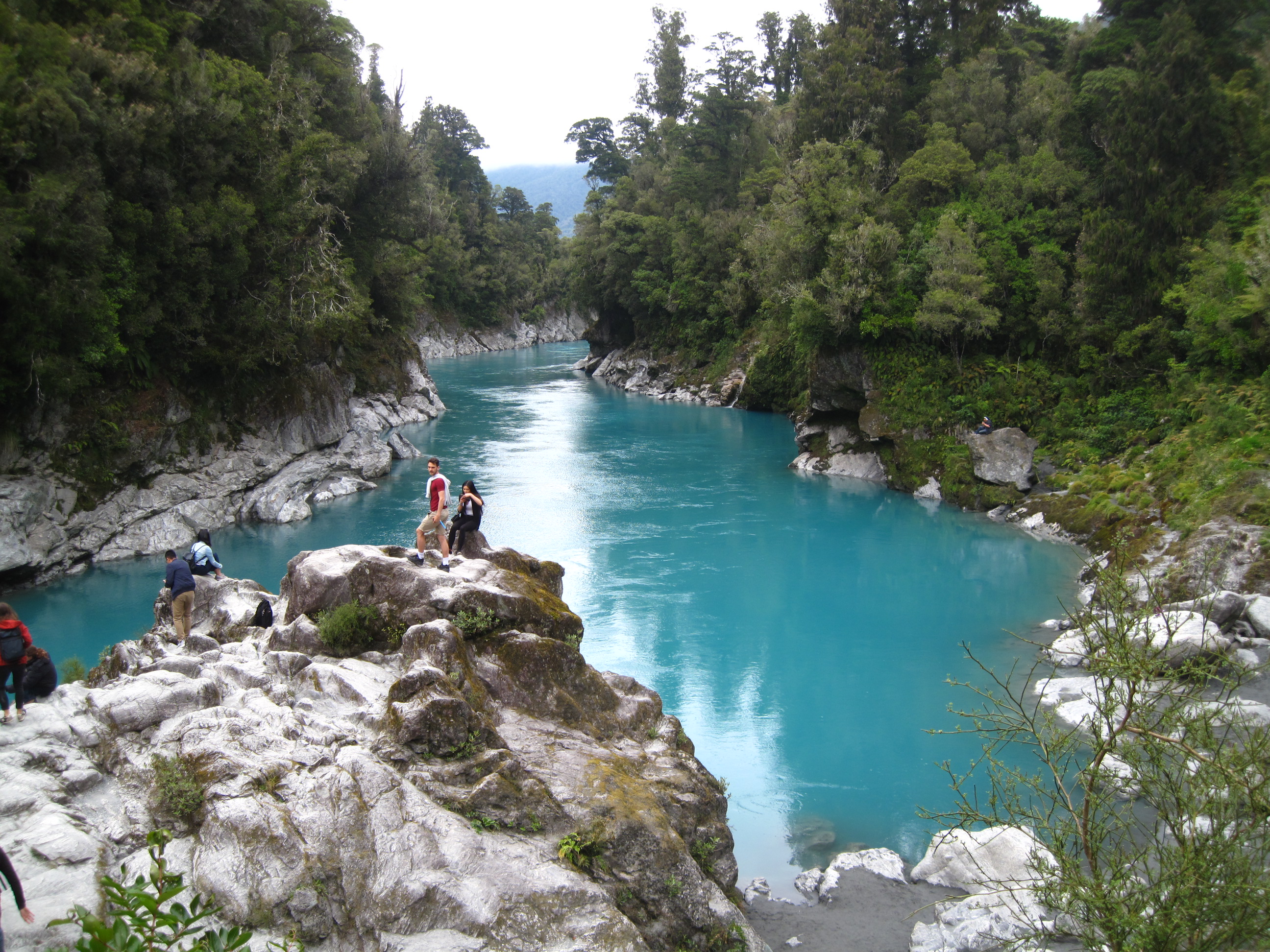
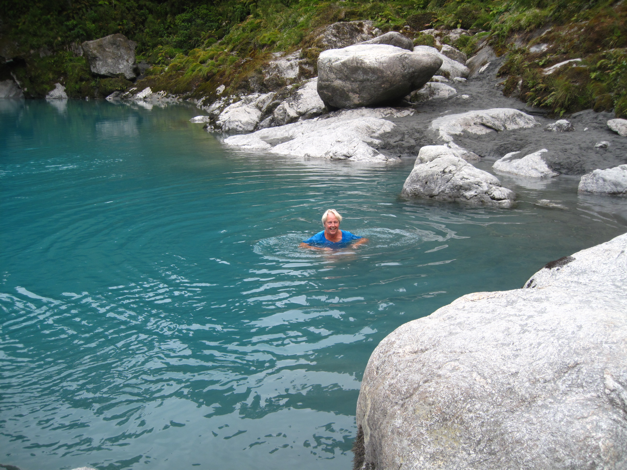
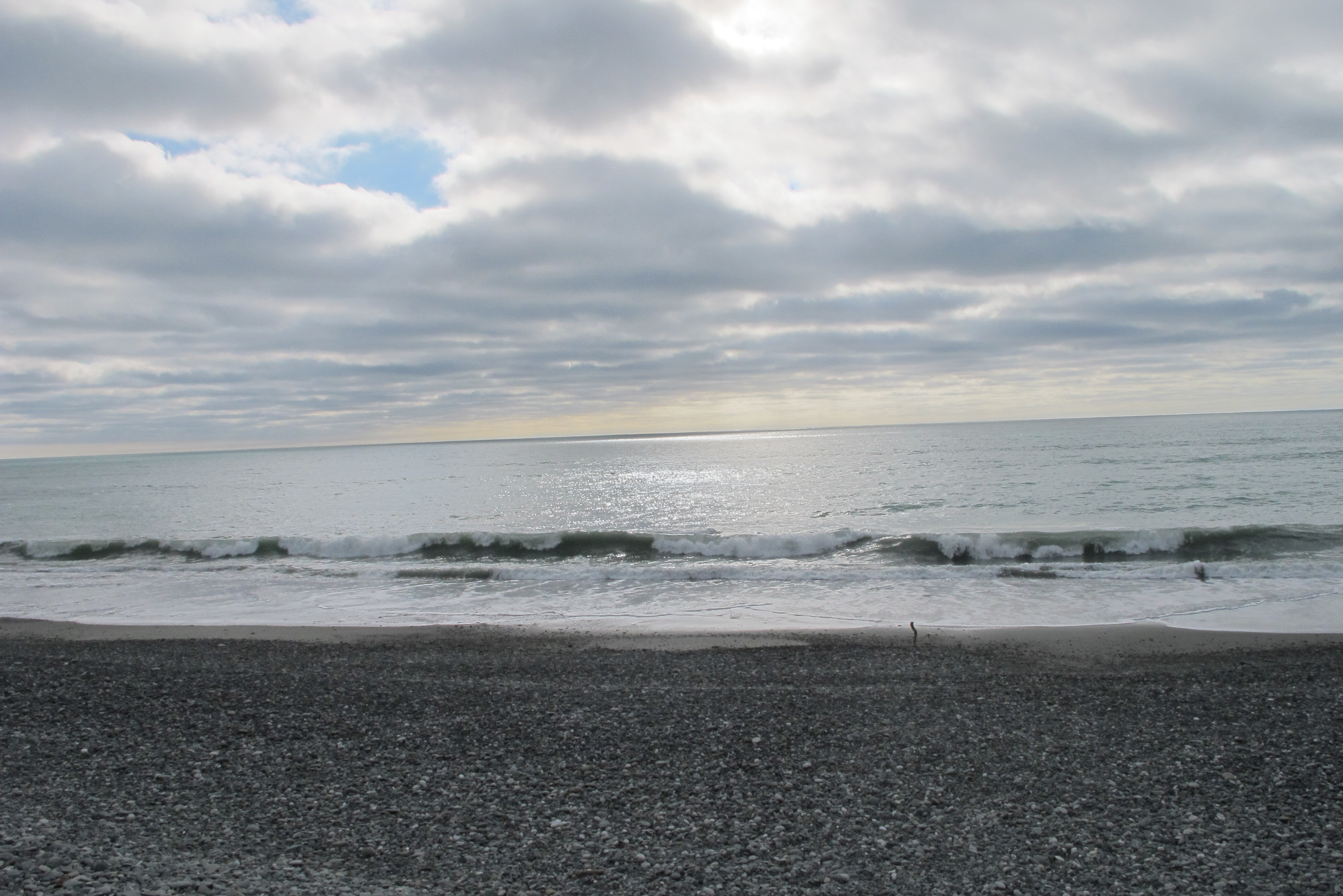
Neil had a little lay in, so a little later starting. Drove to Whataroa river, which was a stunning blue. There was a little hut offering helicopter flights over the glaciers for a reasonable price. We really were keen to see it all so we chatted to the guy about it and he was unsure because of the low cloud. Apparently flights from Fox and Franz Josef were not running, but because this was in a valley, it may be possible to get under the cloud then go up above where it was sunny. It was a small helicopter, pilot and 3 passengers.
He suggested Neil and I went up with his son, the pilot, to see what it was like. If not good, then come back down and no charge or if OK, then carry on. So we jumped at the chance, worst scenario a 10 minute flight for free, best we get the flight over the glaciers. Up we went, climbed a bit, saw the sun round the corner and bingo, blue skies! We passed round the cloud and up. We managed the whole 30 minute flight, went up over several glaciers, mountains, lakes and the river. We reached 8000 feet! What sights we saw, absolutely awe inspiring! When we got down they decided not to do anymore flights for the time being, we were the only ones to fly! Can't believe how lucky we are being this whole holiday, things don't often go for us, we are the ones that usually just miss!! Long may it continue is all I can say! So an unplanned amazing treat to start the day.
We then set off for Hokitika. We passed a pretty lake Ianthe and some lovely scenery. We made a detour to Hokitika gorge and what a good decision that was! It was stunning, we have seen lots of blue water but this was in a class of its own! We crossed a swing bridge and walked down to the river. It was so stunning! Lots of pictures. It looked so inviting, that I took off my jacket and trousers and had a dip in tee-shirt and undies! Boy was it cold, literally took my breath away but so amazing to be in that blue glacial water! Had no towel so went behind a rock to strip off wet clothes and put on jacket and trousers! Wow, quite an experience!
Hokitika was very nice but not quite as quaint as I had expected. We had a light lunch, the visited a glass blowing and retail outlet. So great, I love watching them at work. We just had to buy something, our belated 30th wedding anniversary present, two gorgeous candlesticks, they are so beautiful! Neil also wanted a lovely little glass penguin, he is fab (and so is the penguin)!
I then drove to the other side of Greymouth to our 'nesst' site for the night. (These are places in the booklet given to us by wilderness, our camper van people, where you are allowed to freedom camp for the night). It is so fab! We are parked down a little gravel track, all by ourselves, 20 meters from the sea. Waves are crashing and we are about to see the most incredible sunset over the Tasman Sea. Idyllic. Early start tomorrow as we want to see pancake rocks and it's only really worth it around high tide!
Up late-ish then on North to the Whataroa River, which has some of the bluest waters around. There is a small helicopter company there, Glacier Country Scenic Flights, that seem to operate on a shoestring. We enquired about having a trip but Kevin, the owner, said he wasn't sure if they'd be flying, Fox and Franz Josef helicopters were grounded, but his son Josh would fly up the canyon and hopefully it would be clear. He offered to let us go and if we had to turn back there would be no charge. We got in this little four-seater, Sue next to the pilot and Neil behind him and took off. Sure enough after about 3 or 4 minutes we were above this thin layer of cloud and it was brilliant sunshine. Josh gave a good commentary on the journey and everywhere you looked there were majestic peaks rising into the clear blue sky. Josh pointed out Mt Cook which we had visited a couple of weeks ago (was it really that long?) and we saw the Tasman Glacier, NZ's largest, and Tasman Lake, where we had stopped off when we went to Mt Cook, and where we took photos of the snout of the glacier. This was a brilliant trip, taken on a spur of the moment. We enjoyed it so much we were enthusing about it to all and sundry who were on the ground trying to decide whether to do it or not. A couple of minutes later Kevin announced that the helicopter was now grounded as Josh had come very close to illegally flying below 500 feet on our trip because of the cloud and he wouldn't go up again until it lifted more. There were a lot of dissapointed peoplw.
Having had a stupendous morning so far we sped on towards Hokitika and decided that a 25 km (x2) detour to visit Hokita Gorge should be worth it. We had a bit of trouble parking when we arrived, which was surprising as it is so far out of the way. But when we saw the brilliant turquoise water flowing underneath the swing bridge with a huge boulder on which some were standing, it was obvious why it was so popular. This is a magical place, even with people around. When Sue got down to the water she regretted not bring her swimming costume and a towel. But what the heck, why should that stop her. So she stripped to panties and tee-shirt and swam in this gorgeous pool to the applause of a few of the spectators.
We then stopped off in Hokitika, did the touristy look-around. Visited a glass-blowing studio where we bought some glassware as a belated 30th anninersary present to ourselves. We had been wanting to have whitebait, a speciality of the West Coast, so we popped into a cafe, they were just rubbing the lunch menu off the board, but although we were 5 minute past lunch-time (2:30) and a couple of hours before dinner-time (5pm) the cook agreed to cook us some. We were a bit surprised therefore when the food arrived that it was in the form of an omelette! It tasted nice, but probably not as good as a plate of crispy fried whitebait would have. So then it was provisioning time and off through Greymouth to Cobden Beach (a fantastic Wilder-nesst) just metres from the sea with no other motorhomes for miles. We looked at the tide tables for tomorrow, since once of the beach walks we want to do has to start around 1½ hours before low tide, else you can't get round the headland, while the othe place we want to go to, Punaikaki pancake rocks, is best seen at high tide.
night |
kms |
Overnight Stay at |
Cost/night |
Facilities |
Wow Factor |
Photos |
|---|---|---|---|---|---|---|
| 33 | 153 | Hector Beach (Freedom Camping) | 0 | 1 | 4 |
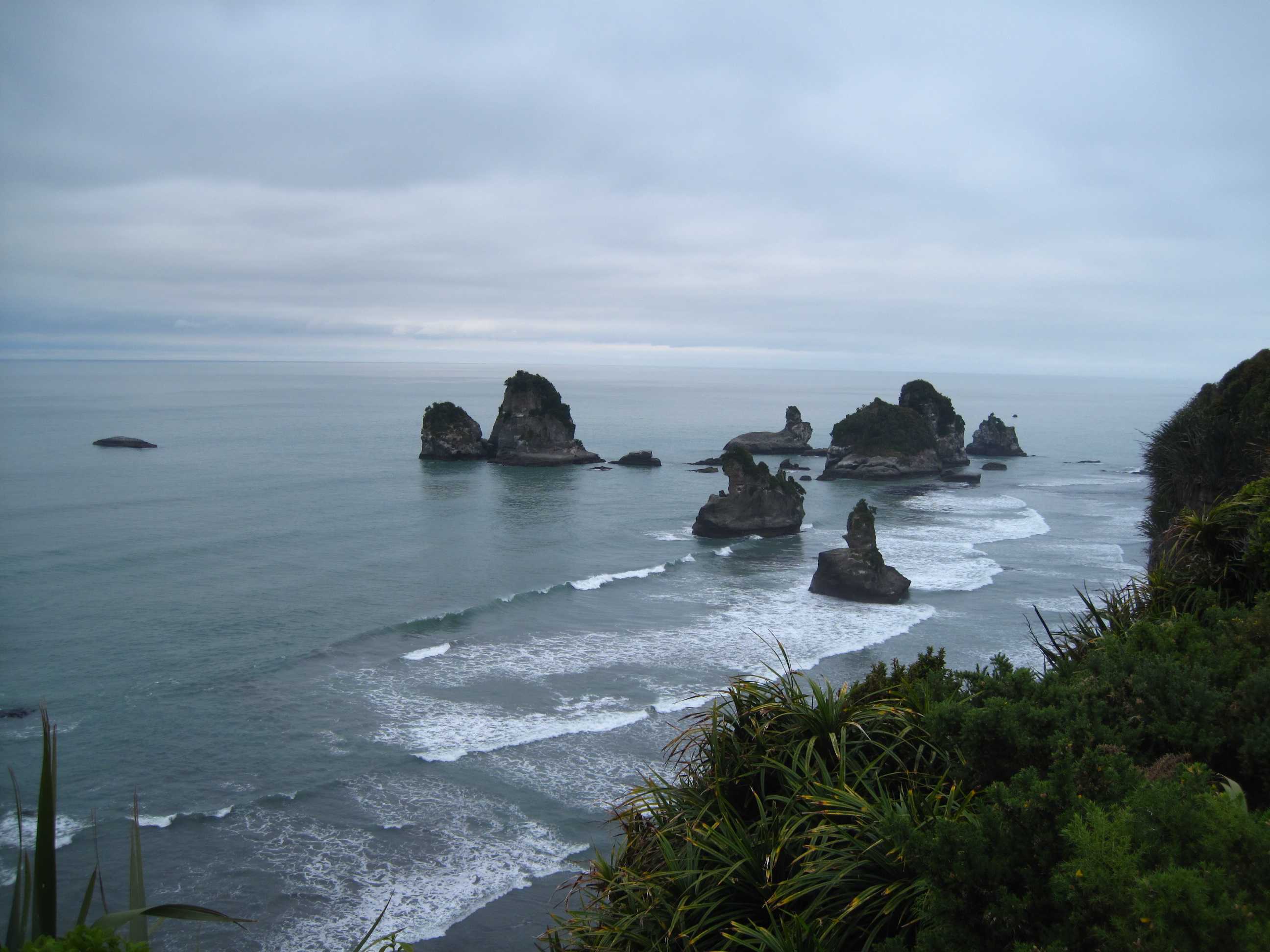
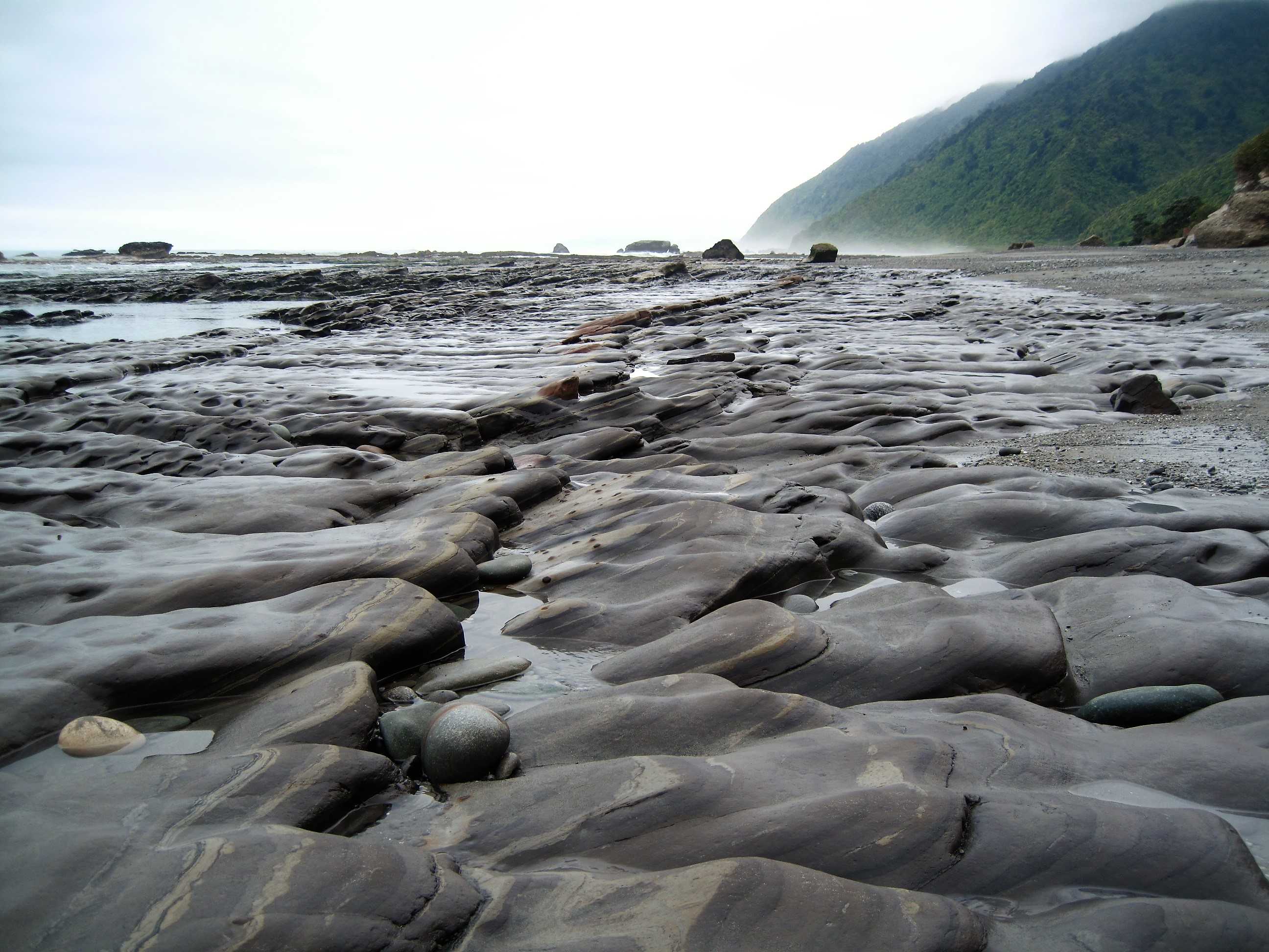
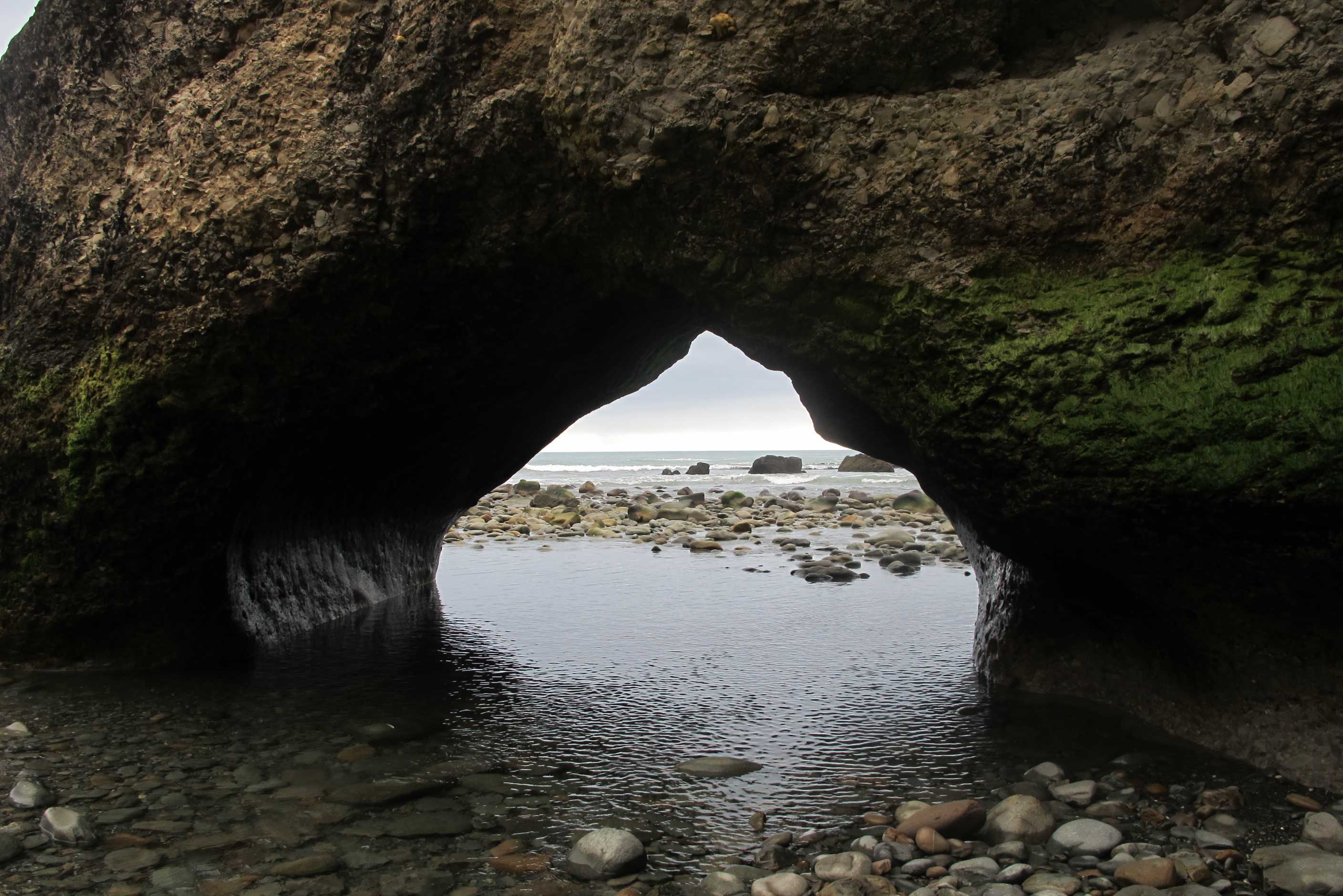
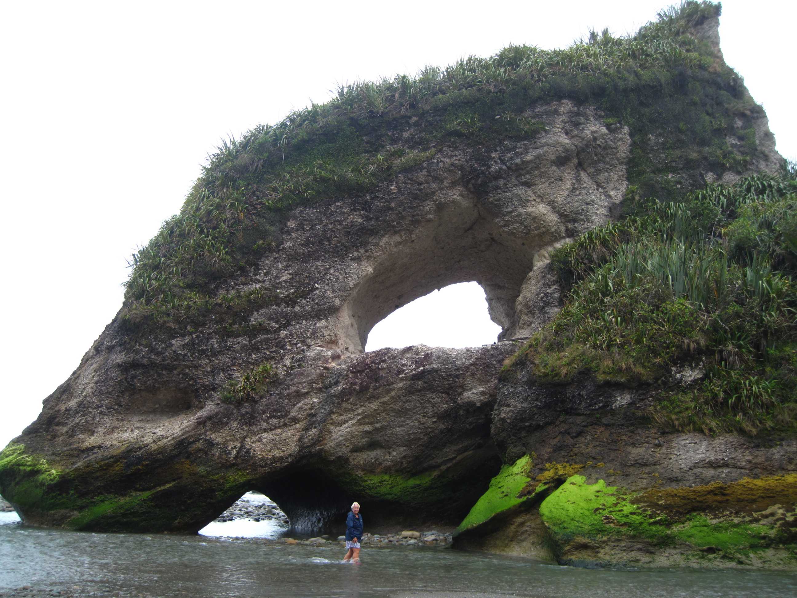
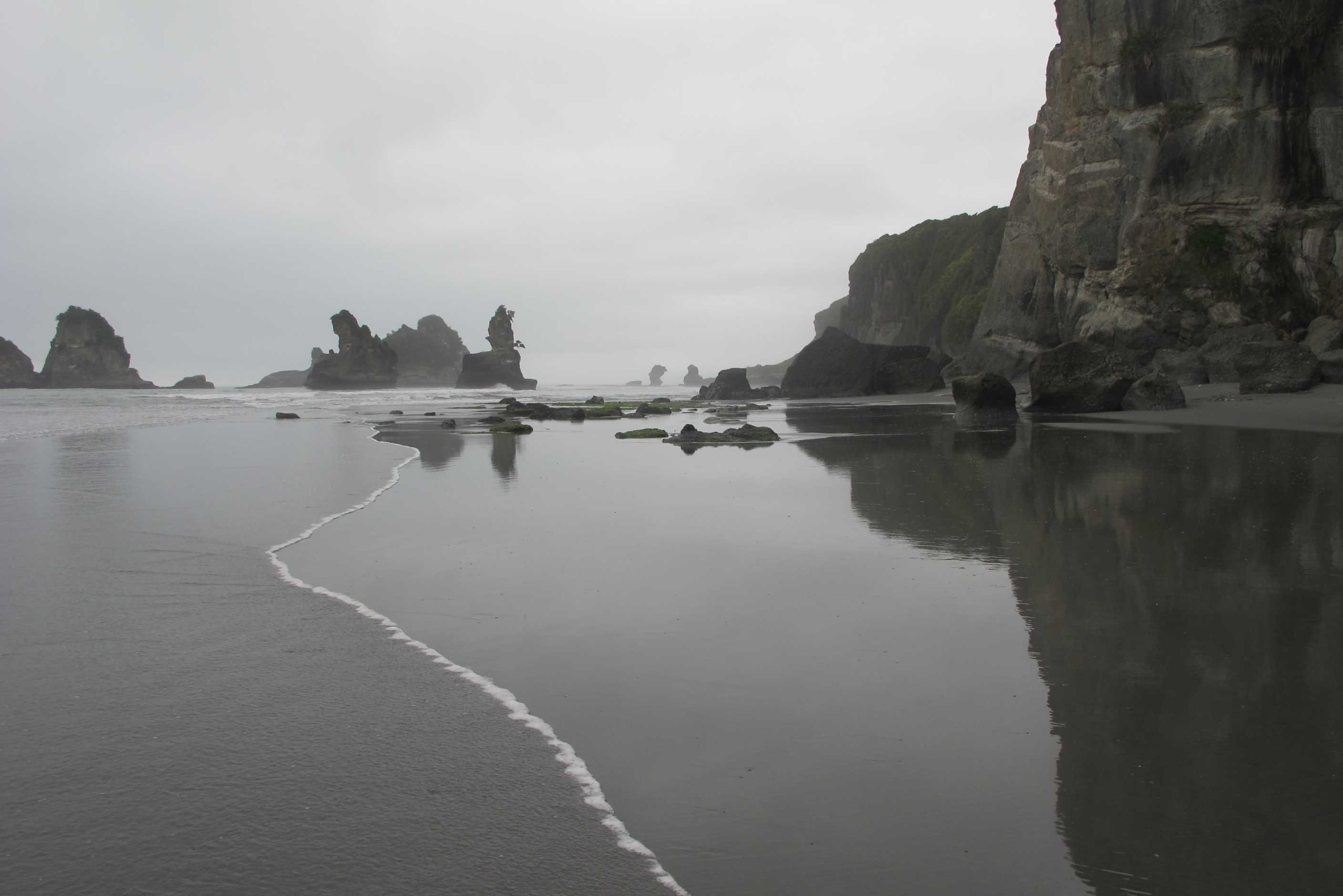
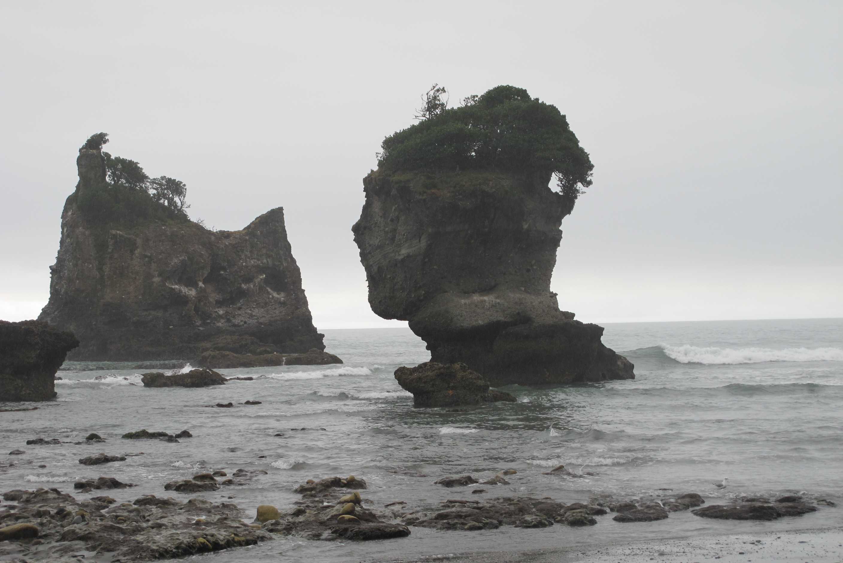
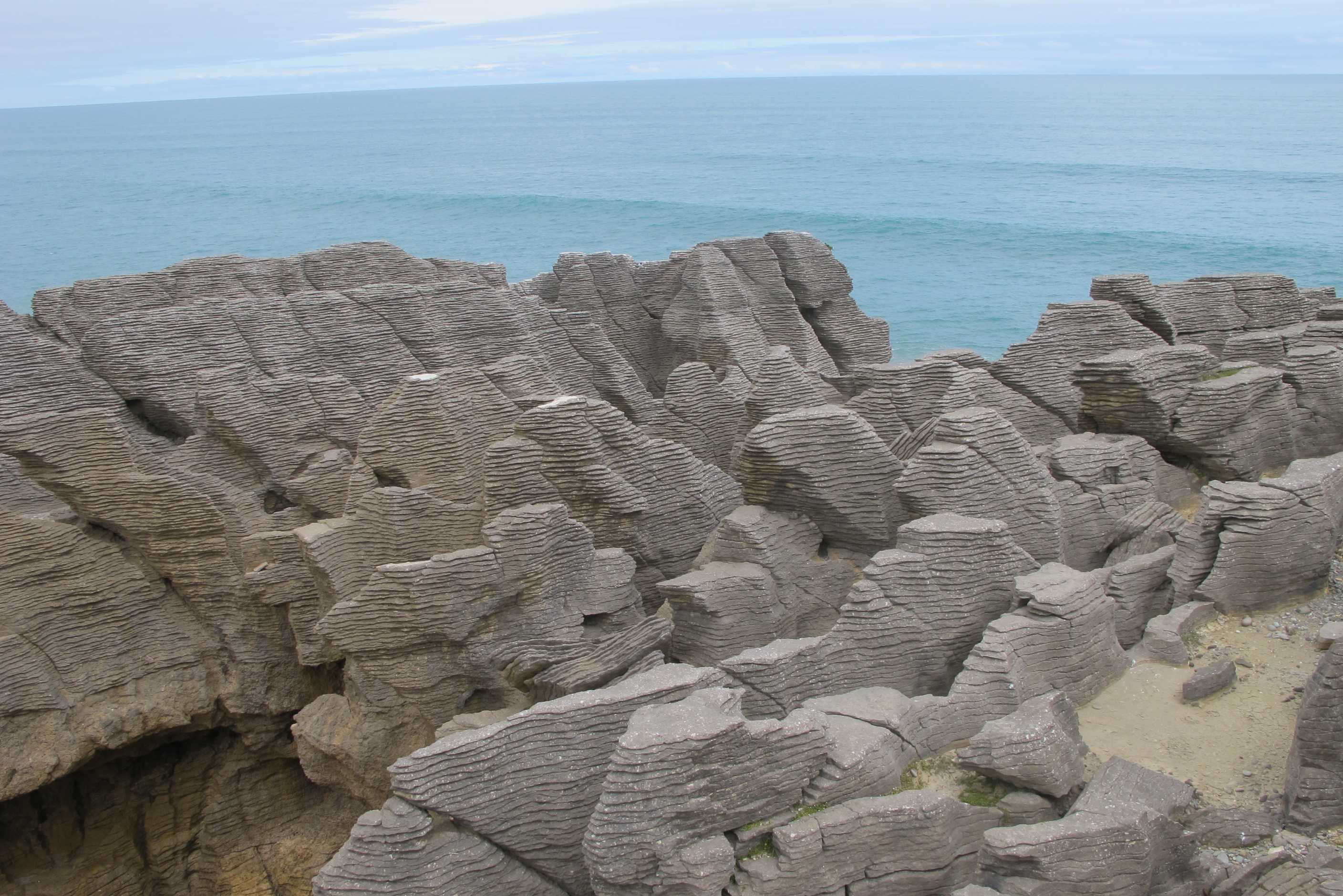
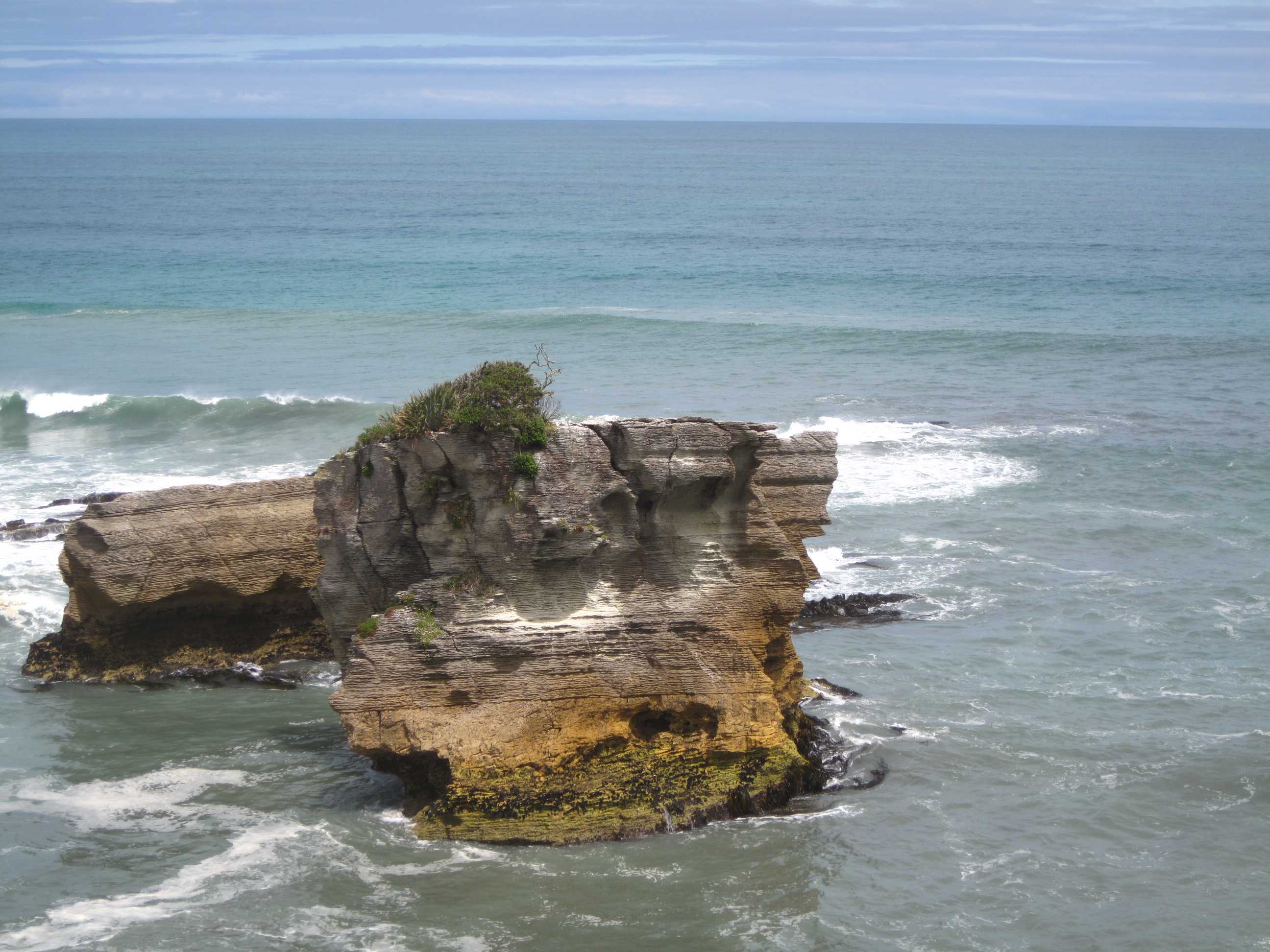
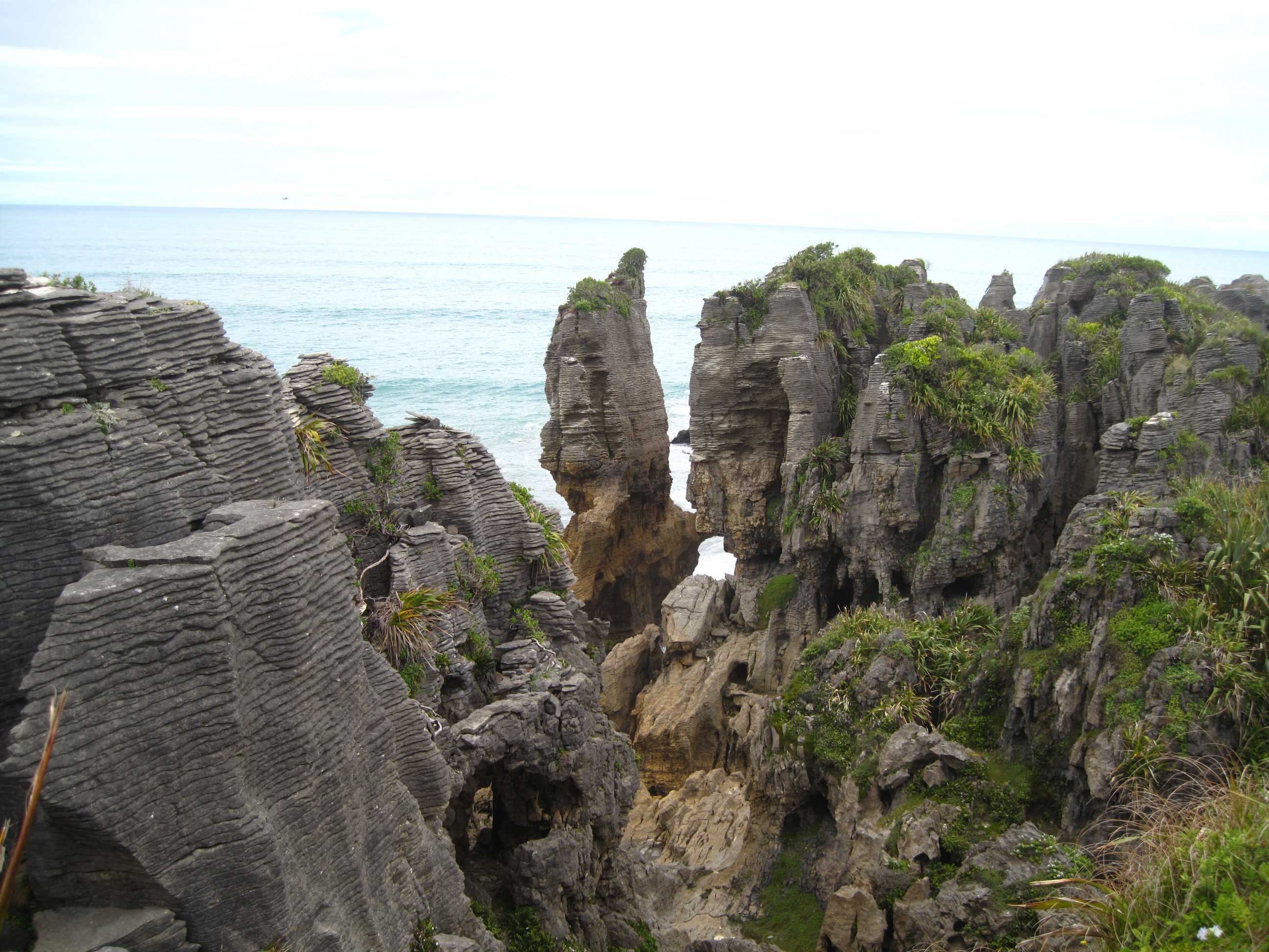
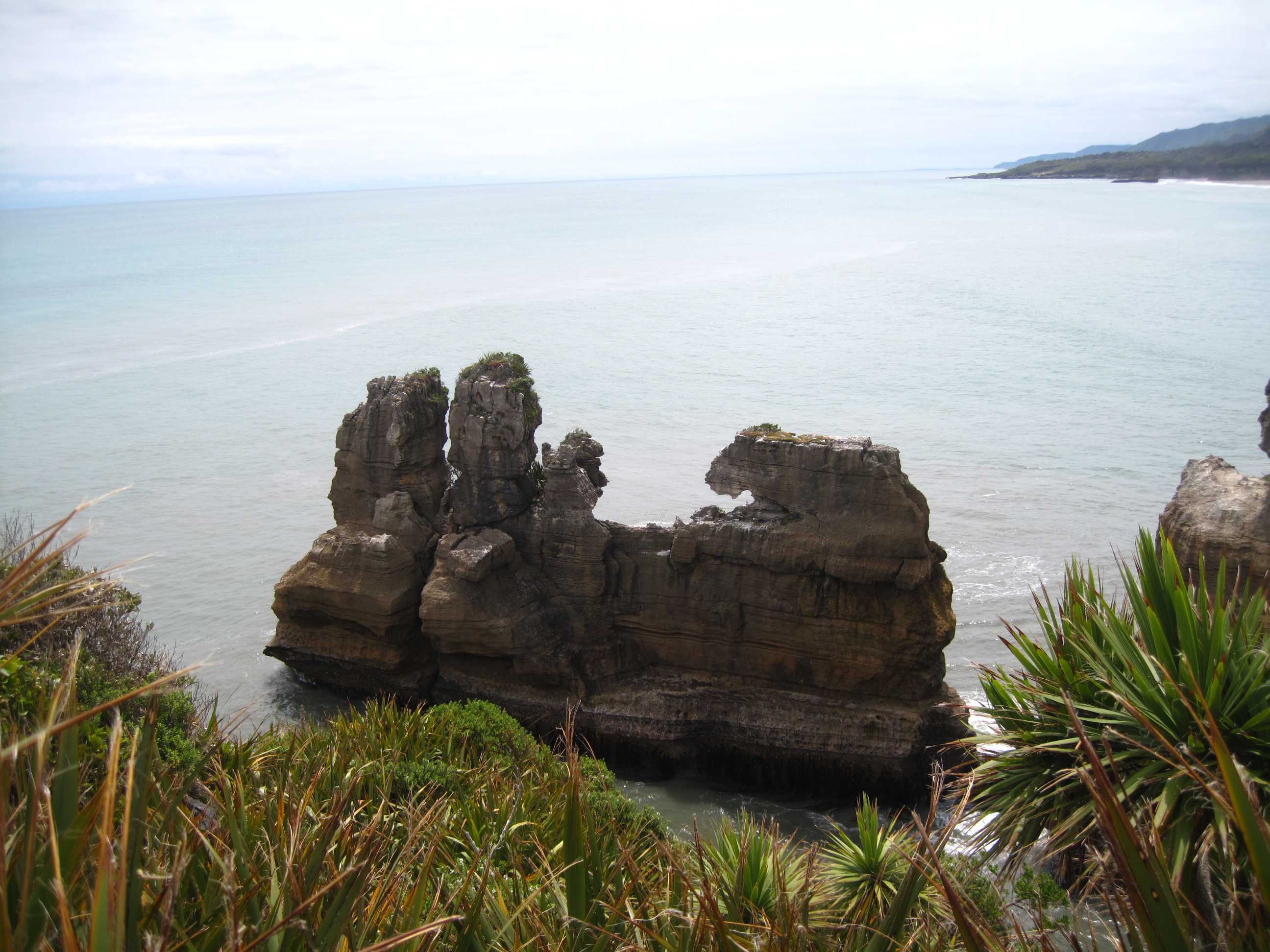
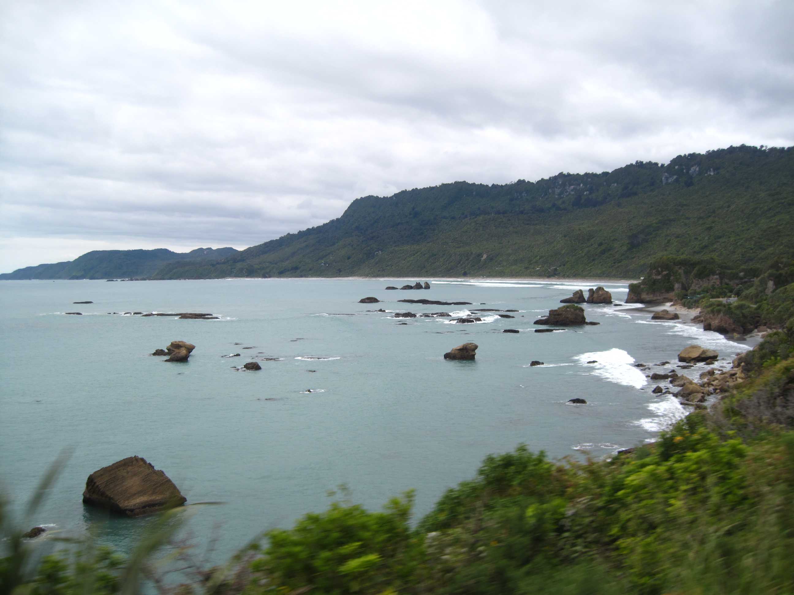
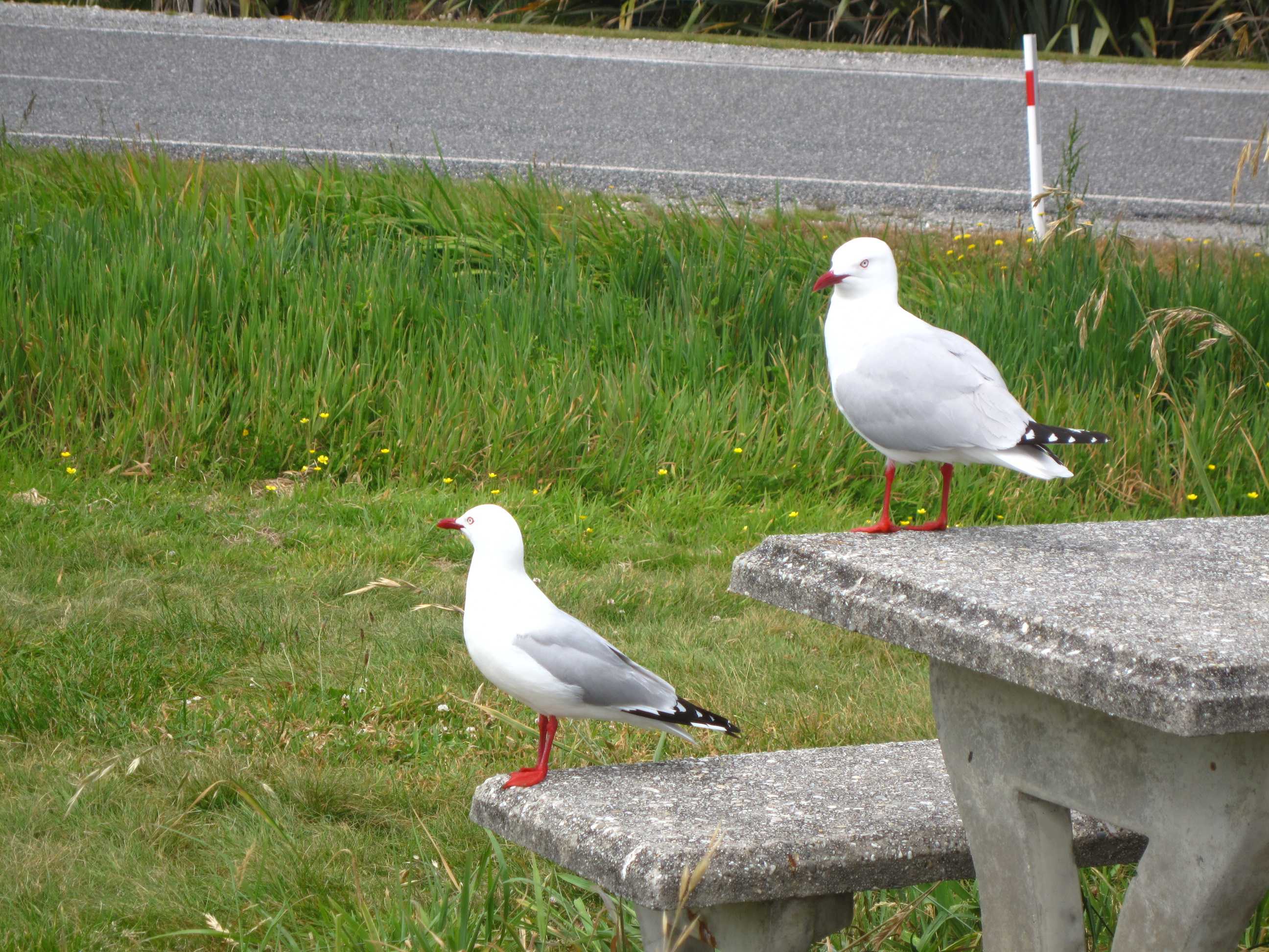
Got up early to make sure we got to Motukiekie beach an hour plus before low tide. All seemed ok when we arrived and we set off south. The beach was already amazing with sea stacks and exposed multi shaped ledges. the cliffs were also amazing. As we walked more and more shapes emerged. It was quite stunning. Every corner we turned there was somethig else to see. Waterfalls, caves, arches, rock formations and tidal shelving. After about 1 hour and 3½ km, we reached a river which we waded across to get a great view of the big arch. Wow! We had to be a little careful as the stream was quite fast flowing. We then decided we had to hurry back to the first main corner to avoid being cut off by the tide. It was a little nerve wracking! Anyway, made it OK, then we had to cross some slightly slippery boulders. Neil is always urging me to be careful and watch my feet as I can be a bit of a klutz! Ironically, it was Neil who had a bit of a problem. He gave me a heart attack when his foot slipped and he, very slowly, very slowly and gracefully did a face plant!! I imagined all sorts, Neil injured with a fast approaching incoming tide and a few Km to go! Luckily, when he gingerly got up, seemed to be OK, except for a sore wrist. We decided it was probably badly jarred but not badly injured. Thank goodness! We then carried on to ensure we made it safely back to the beach before the tide came in. One of the best walks we have ever been on, but could have done without the drama.
On then towards Punakaiki, pancake rocks. We thought it would be a quick view of rocks and a blow hole but It was so much more! A walkway meandering between plants and trees, was very well done, with lots of lookouts to the best bits. The rocks were truly amazing! Layered up just like a stack of pancakes, water funnelling into basins, up chasms and through blow-holes. Really stunning! Then tried to go on a walk from NZFrenzy to a Maori cave. Well, something went wrong. We crossed the old bridge and found the tunnel was shut. Then scrambled down a steep rocky bank to go under the modern bridge. Then along the rocky shore to find an old set of steps, that were not there, My hiking boots got soaked and I got very agitated when I had to rock-clim back up. Not good. We the finally managed to find the cave, only to discover there was no access!! In hindsight quite fun and adventurous but not very successful!!
Then a quick walk at Cape Foulwind, what a name, it was really quite a nice place! Then on to Westport to fill up and camp for the night before going up to Karamea tomorrow. I did the driving as poor Neil's wrist was so sore. Lovely place to stop, again metres from the beach and sea and quiet and secluded. Proud of myself, I managed to produce a curry for dinner, in my miniscule kitchen, go me!! Ready for bed now, and an exciting day in store again tomorrow, just hope Neil feels better.
Up at the crack of dawn to start out for Motukiekie Beach. On the way out Neil took a photo of a sign that showed a penguin with the word "Caution" underneath and speculated that either we should be careful not to run over any penguins in the motorhome, or be careful and lock the doors as there might be hordes of marauding penguins mugging unsuspecting tourists. Got to the beach at 7:45 and low tide was around 9am, so just perfect. Scott Cooke in his NZFrenzy book says that this is the South Island's most scenic beach walk and he is not wrong! All along this coast is dramatic scenery and this beach has it all, in spades. We probably took more photos on this beach than anywhere else. Wherever you looked you just couldn't help snapping away. At the end of the walk we passed a group of what looked like professional photographers and they were spending ages photographing what we believe is the least interesting part, but which they obviously thought was fantastic. We walked for over an hour going further and further along the beach. Eventually we got to a corner and turning it there was a shallowish, but reasonably fast-flowing creek emptying out into the sea. We went throuch a little tunnel, formed naturally by the waves, and carefully waded across the creek, then turned and saw a very large archway in the rock above us. It was brilliant. On the way back we had to cross an area with some large stones partly in the water, Neil said several times to be careful, so it was ironic that he was the one to stumble and fall. Unfortunately he sprained his wrist, so Sue had to drive for the rest of the day.
Next it was on to Punakaiki to see the "pancake rocks". Not knowing what to expect we thought we'd drive up, take a photo or two and drive off. Little did we know we'd spend about 2 hours here! The longer we stayed the closer it came to high tide and the more spectacular the blowholes became. Neil spent ages trying to capture a lovely tern on camera, while Sue must have spent a good three-quarters of an hour trying to get that extra special shot of the blowhole! The D.O.C. have done a very job here. Most of the loop is accessible to wheelchairs and the viewing platforms are very well thought out. The people in the shops and information centre are a joy to speak to. Sure there were lots of tourists, but you have to expect that and if you hung back a bit at each viewing platform you soon had a few minute to yourself before the next lot came round taking a snap and then moving on.Scott Cook describes a Maori cave near the Fox River bridge. We stopped and walked over the old decrepit wooden bridge that used to carry the road before trying to decypher his directions. We ended up almost walking in the river until we decided we had gone wrong somewhere. We found the way and soon it looked like we were in someone's back garden and the owner was on the verandah reading the local paper. Although we knew this was public access we thought it only polite to ask and he confirmed this but said that the cave, which went through the cliff and was open on both sides, was shut for safety reasons. We respected this and took photos from outside, though it didn't seem too dangerous to us. Then it was on the road again.
We thought we'd do the Cape Foulwind walkway thinking it was a 1½-hour loop, but in fact that is one-way. So we decided just to do about one-quarter of it. We didn't reach the seal colony, but it was pleasant enough. We then stopped in Westport for some provisioning and cellphone access so we could download our e-mails and upload the blog, then it was onto the Karamea Highway for a night at one of the "nessts" at Hector Beach. We are parked overlooking the beach watching the sun go down - actually that last bit is only figuratively speaking as there is a bit of cloud. We set off tomorrow for Karamea and the Oparara Basin.
night |
kms |
Overnight Stay at |
Cost/night |
Facilities |
Wow Factor |
Photos |
|---|---|---|---|---|---|---|
| 34 | 231 | TOPT10 - Carter's Beach | $40 | 3 | 3 |

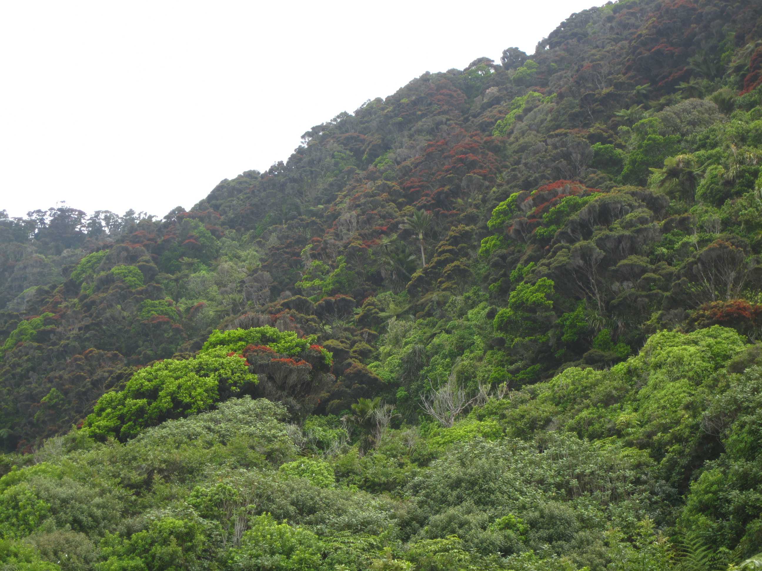
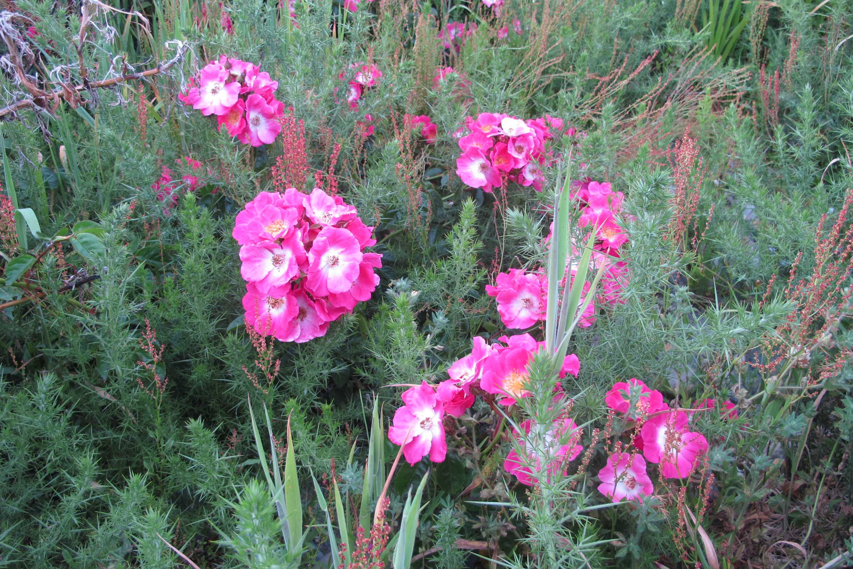
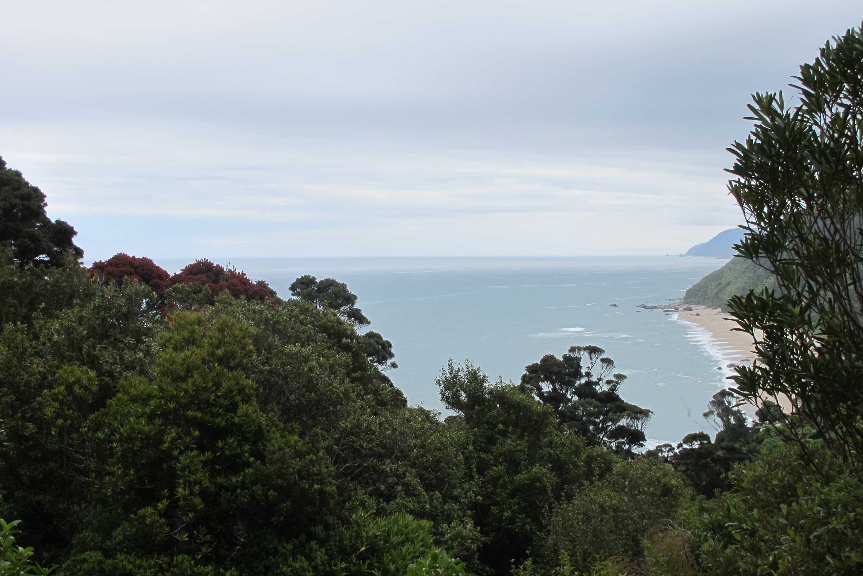
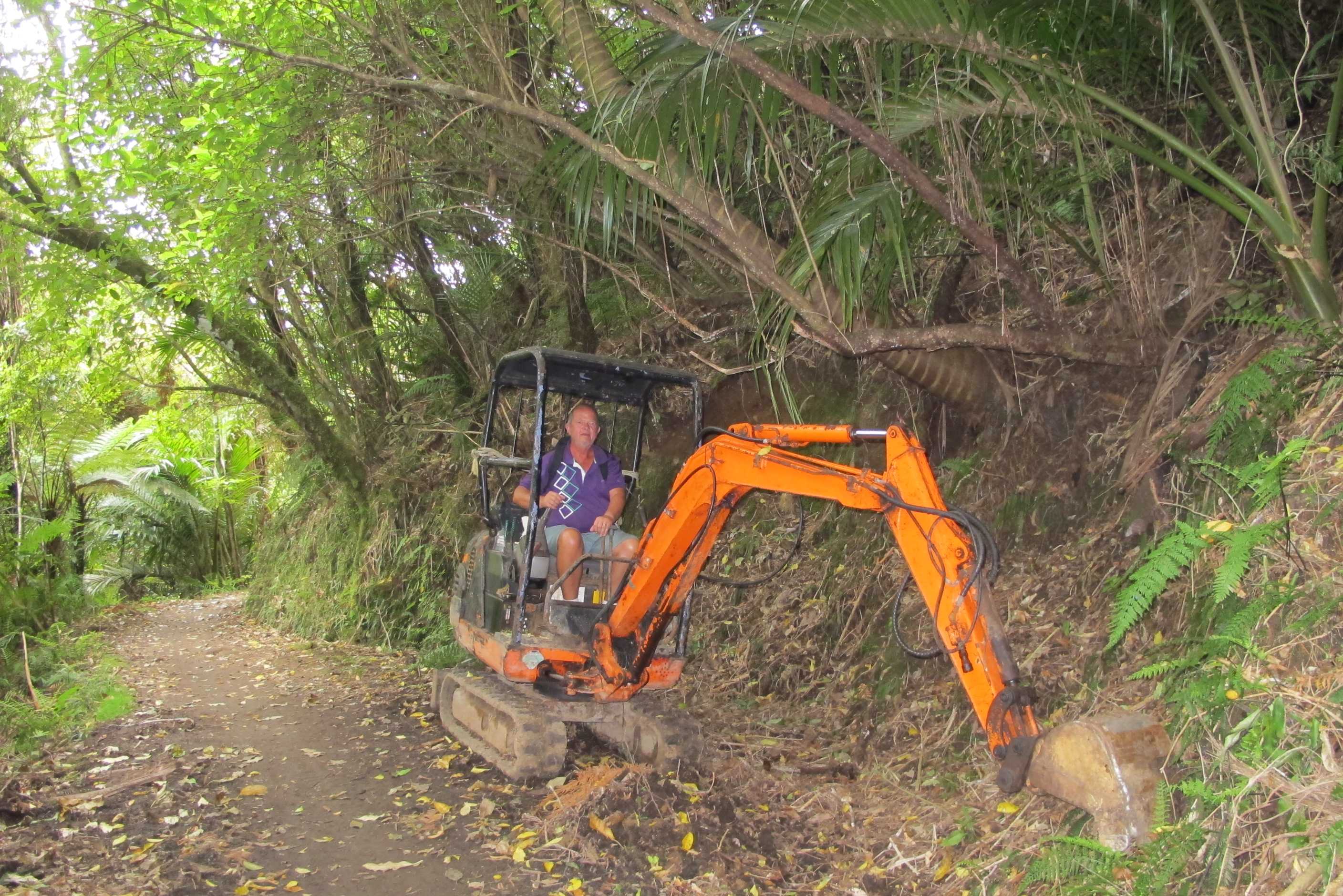
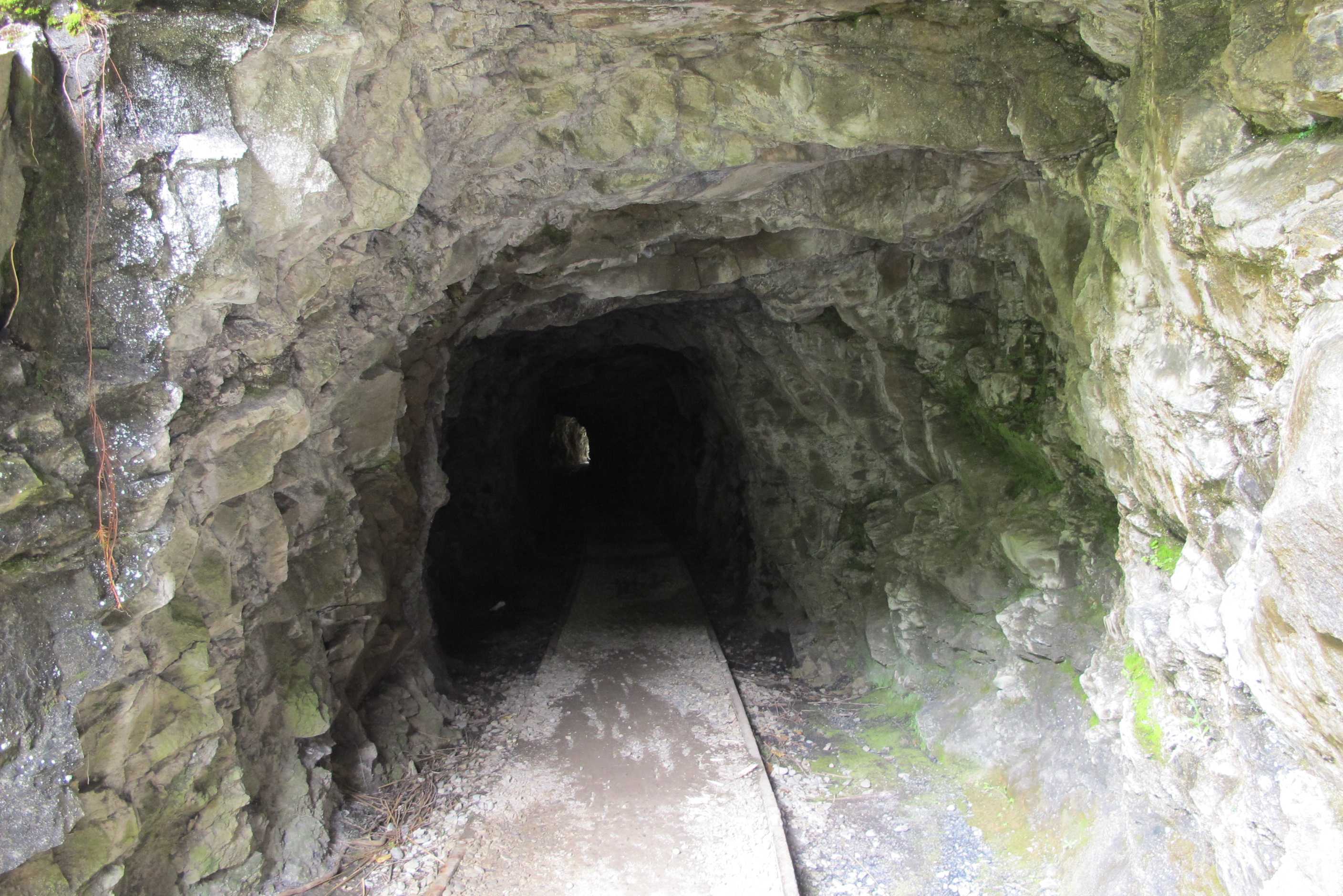
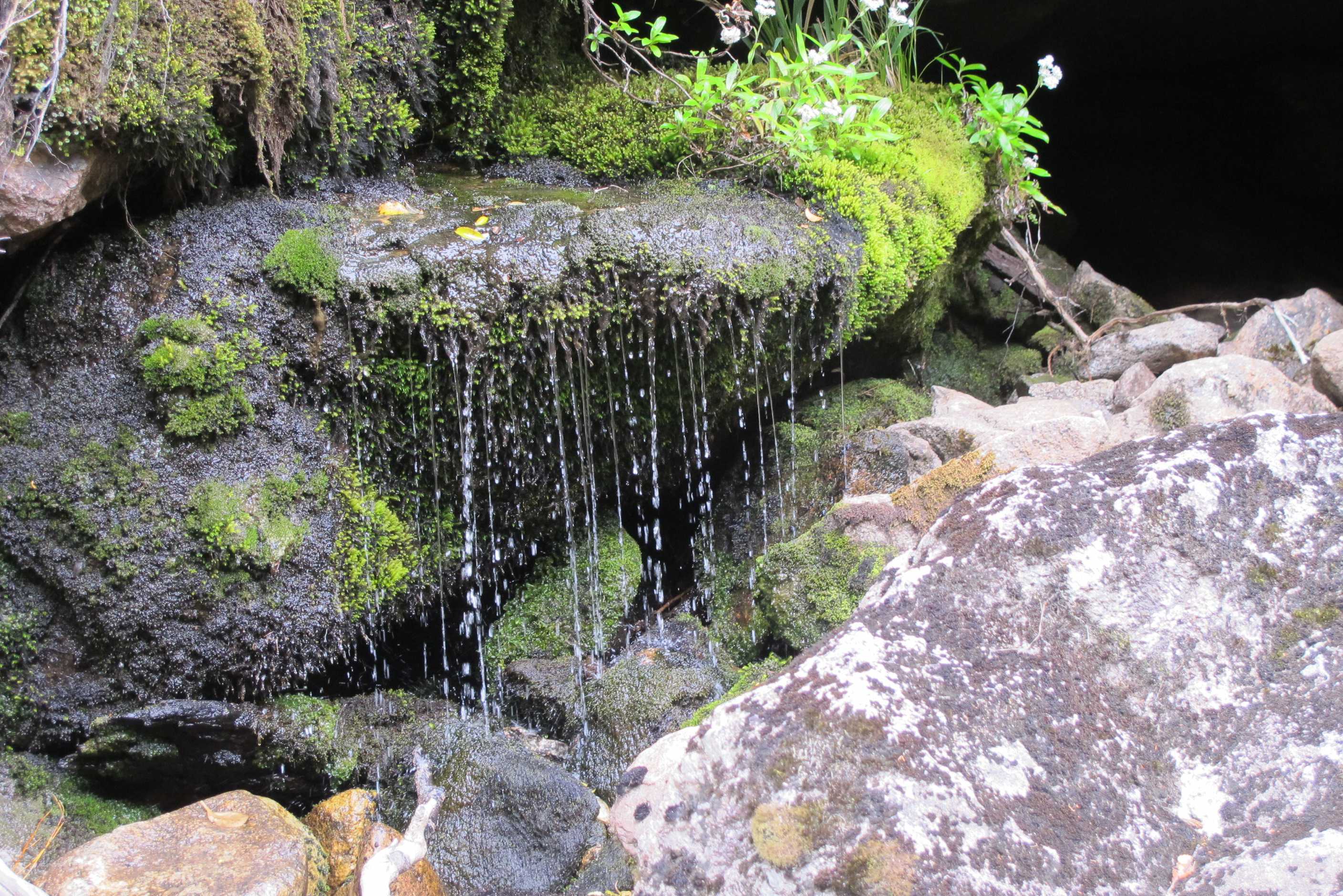
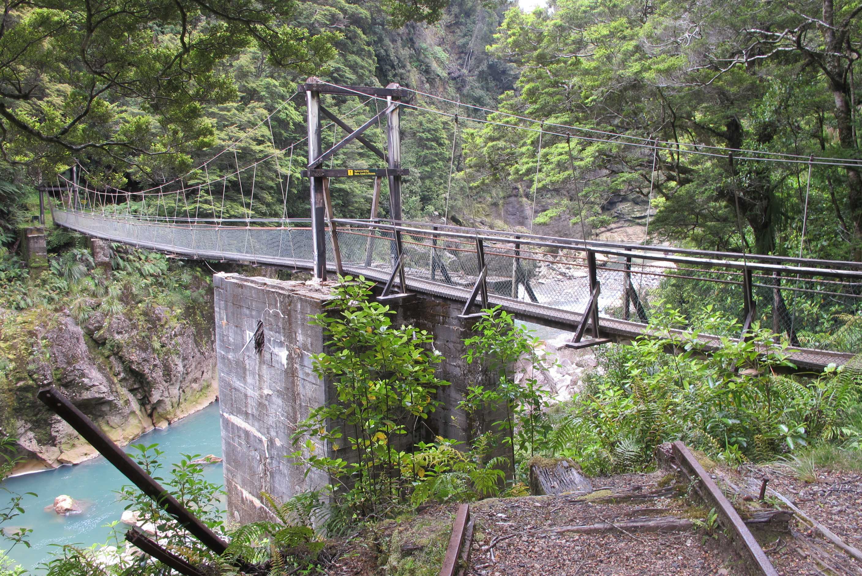
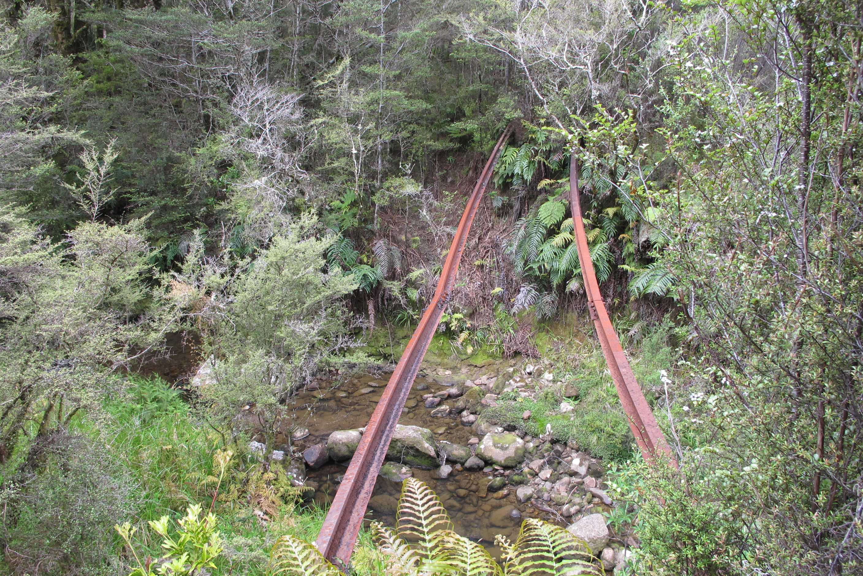
Left at a reasonable time and drove to Mokihinui beach to see the remains of a wreck. It was a stunning beach with lots of wildlife. The wreck was a little underwhelming, but good to see none the less. Went to do a gorge walk and see various remains including a train wreck, but walk was shut due to unsafe bridges, Shame it looked interesting.
Then we set off for karimea and the Opara basin. I was driving to give Neil's wrist one more day's rest. It was around 100km and not easy!!! I hate mountain roads and don't drive them. Well, this was a mountain road in spades. Narrow and winding, sheer drops, often no safety barriers, up and down hills/mountains, blind corners and hairpin bends like you have not seen. I was not happy and quite nervous, then to cap it all, it was the time of day for the double tankered milk lorries to be driving to Westport! These things hurtle round the bends at a rate of knots and the last one, appeared to be coming right at me, so much so that I actually shut my eyes for a couple of seconds! I likened it to heading for the rocks on the jet boat a couple days ago! Anyway, arrived safe and my stomach slowly began to unknot. We then turned onto a gravel road to get to the basin, only to find, it was not suitable for camper vans!! I nearly cried, all that way and all that terror to find we could not go to our destination!
We headed back into town and asked about organised trips. They had already left! Another walk was suggested and we did that so as not to waste our trip completely. It was very nice and we enjoyed it. I then had the dreaded journey in reverse. Was not quite so bad, no milk tankers! I even took some moments to enjoy the stunning views.
We made one more stop to do the Charming Creek walk. It was a return of 8km along the track of a once time coal mining and logging train. It was great. A narrow path through rain forest at the side of a gorge. Unbelievable to think this was once a rail line, but tracks were there to see. We saw some old relics, went through a couple of tunnels, past amazing waterfalls, and the stunning blue river. Really enjoyed it but very tired by the end!
Went to the top 10 campsite just outside Westport, as we needed proper showers, some washing and the usual dump, water sort outs. Walked along to a local bar/restaurant for dinner and what a find. Locals were so friendly and chatty, food and drink simple but good. I tried the fish caught that day in the sea opposite by the owner, it was Gurnard, really delicious! Off towards the east coast tomorrow via Buller gorge, where they have the long swing bridge and possible return by the flying fox! Will have to see what it looks like first but would love to do!
Early start again (so what's new?) as we have a long journey over the mountains to Karamea and the Oparara Basin. We thought we would go to a nearby beach, Mokihinui, that has the remains of a shipwreck on it. You could see the skeleton of the ship and the boiler nearby. It is such a lovely beach with miles and miles of sand with not a single soul on it apart from us and the birds. Then we went to go on a gorge walk that also has a wreck on it, this time a train. Unfortunately you have to cross a couple of bridges and these were boarded up as being unsafe, what a shame as from what we could see it looked to be quite and interesting walk.
So we started the 1½-hour drive up to Karamea and the Oparara basin. This is a little-visited area of NZ mainly because of the single-road 3-hour return jurney. But the basin has some wonderful sights that we so wanted to see. Sue had to drive and it certainly wasn't the easiest drive she had ever done - in fact probably the most diffcult, but she was up to the task and eventually we passed through Karamea and arrived at the start of the 14 km gravel track to the Oparara Basin car park. In the bumf about it they say that the track is unsuitable for LARGE motorhomes. However at the start of the track itself it says unsuitable for campervans, which are smaller than our motorhome. We looked at each other and decided aganst it. We decided to go back to Karamea to try to catch an organised tour. We called in at the Karamea Information Centre and had a chat with Brian, the guy there. He told us that the guided tours had already gone. One suggestion was to hire a car locally and drive that, instead of the motorhome that was too wide. A local lady though advised against it saying she'd driven up there and it was the scariest thing she'd ever done. So in the end we decided to do the Nihau loop walk and the walk up to Scott's Lookout. We then drove all the way back up the road and did these walks instead. At the lookout we met a pleasant young girl who had been touring NZ for some months and had a month to go. So the moral of this story is: if want to see the Oparara Basin sights make sure you book an organised trip at least 1 day ahead.
Sue then made the journey back towards Westport, where we went on the Charming Creek walk. This was a lovely, if long, out-and-back walk along an old disused railway track. There was a swingbridge near the end that afforded excellent views of a lovely waterfall, then passing through a second railway tunnel through the rock were some spectacular views of the river. Then it was back to the car to head to the TOP10 campsite at Carter's Beach for a well deserved shower and G&T. There was a small family-run restaurant just a couple of hundred metres up the road so we hobbled along for a meal - lamb shank for Neil and Gurnard and chips for Sue. The locals and the owners and staff were all exceeding friendly and wanted to know where we came from and where we'd been in NZ. One of them commented that we'd seen more of his country than he had. Then after a perfect susnset it was time to return to our motorhome.
night |
kms |
Overnight Stay at |
Cost/night |
Facilities |
Wow Factor |
Photos |
|---|---|---|---|---|---|---|
| 35 | 303 | Waima Rivermouth Beach (Freedom Camping) | 0 | 2 |
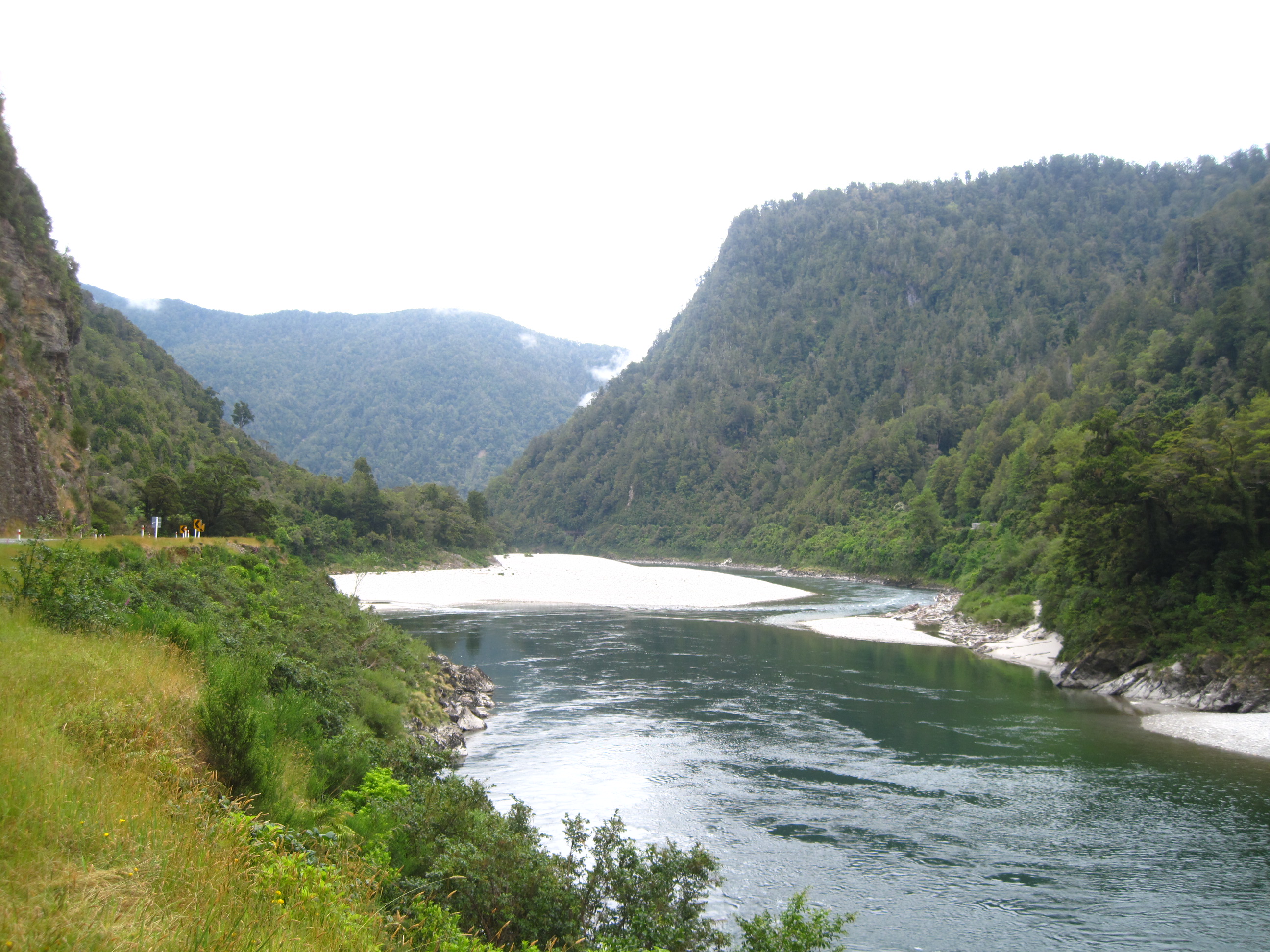
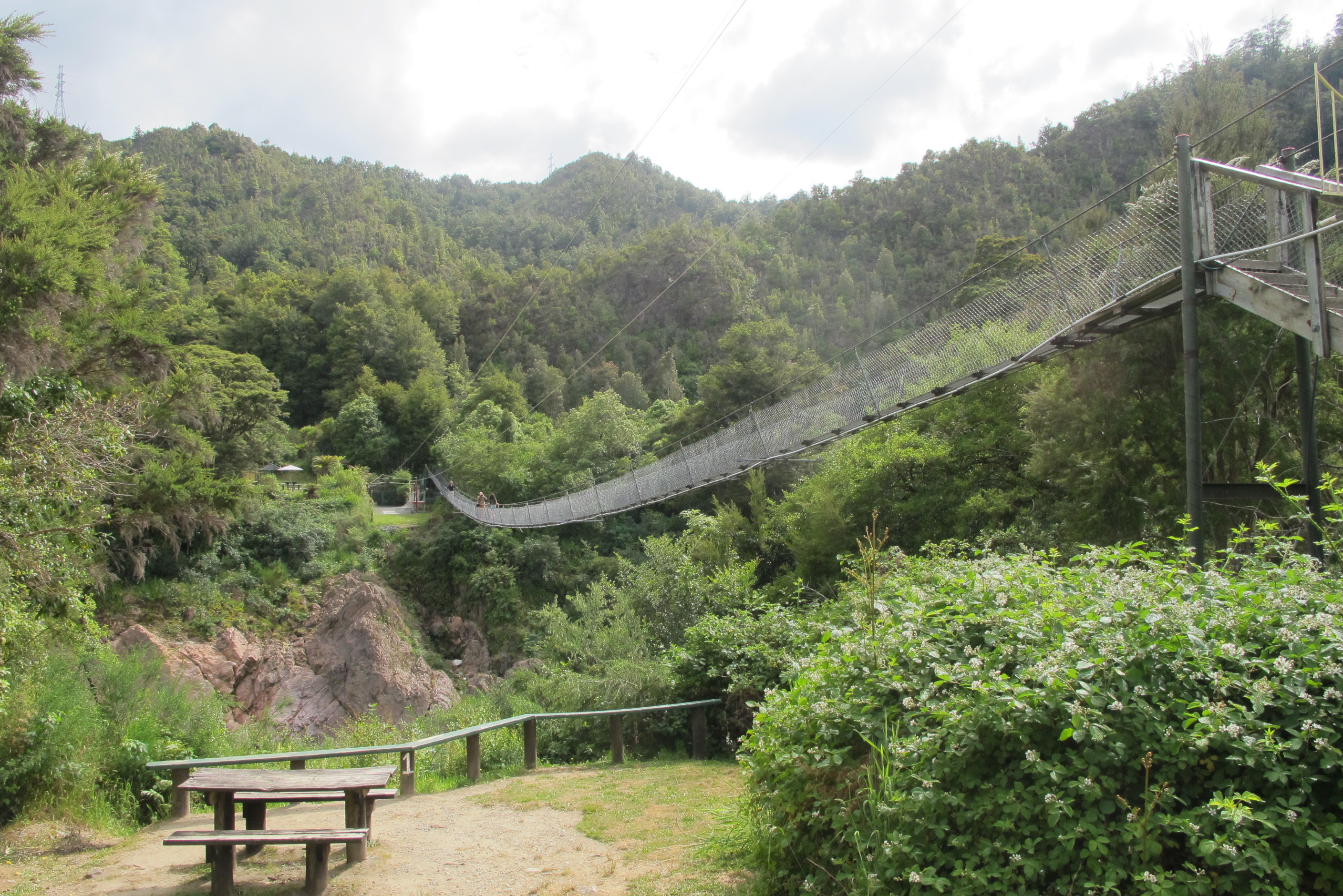
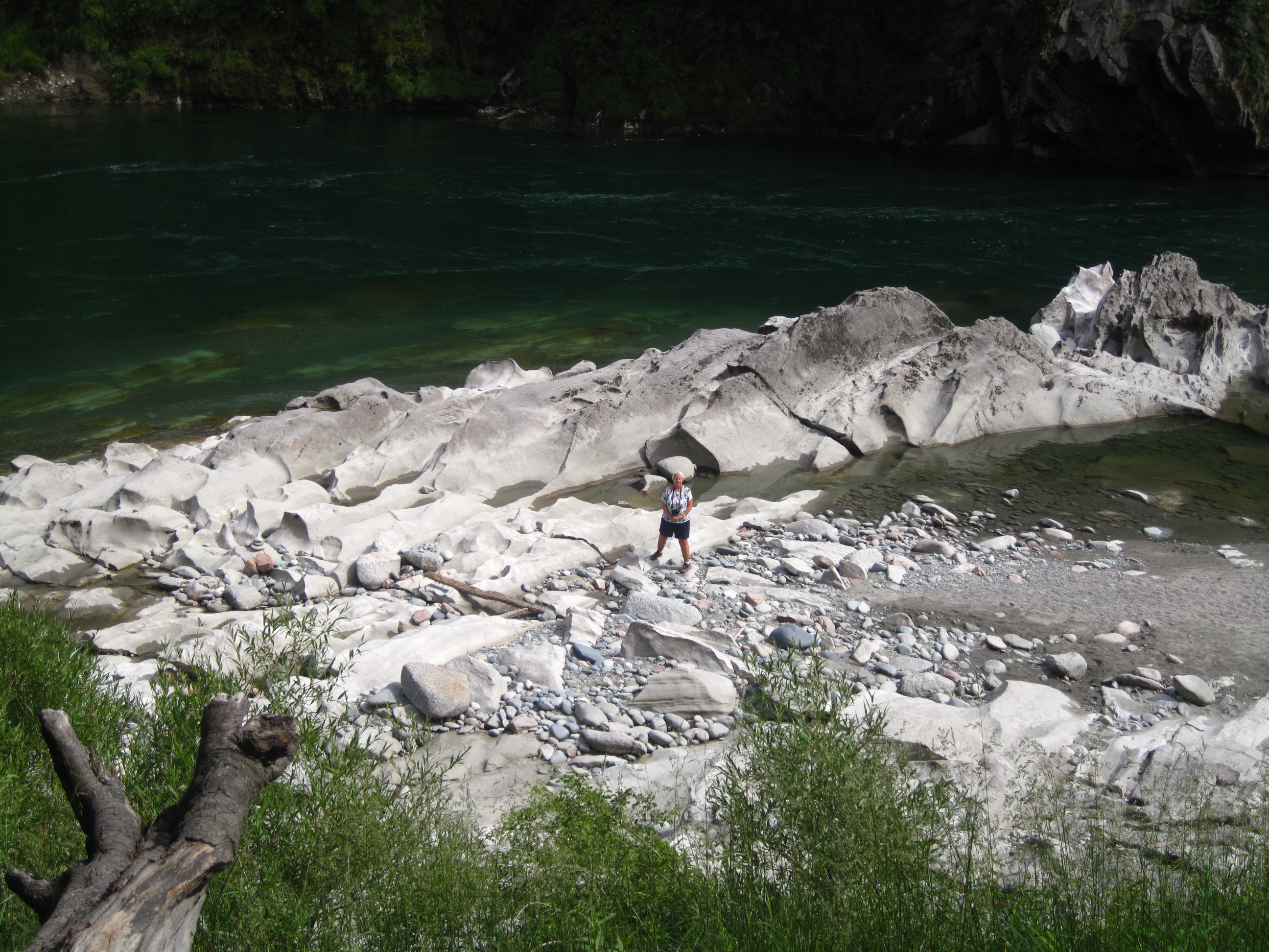
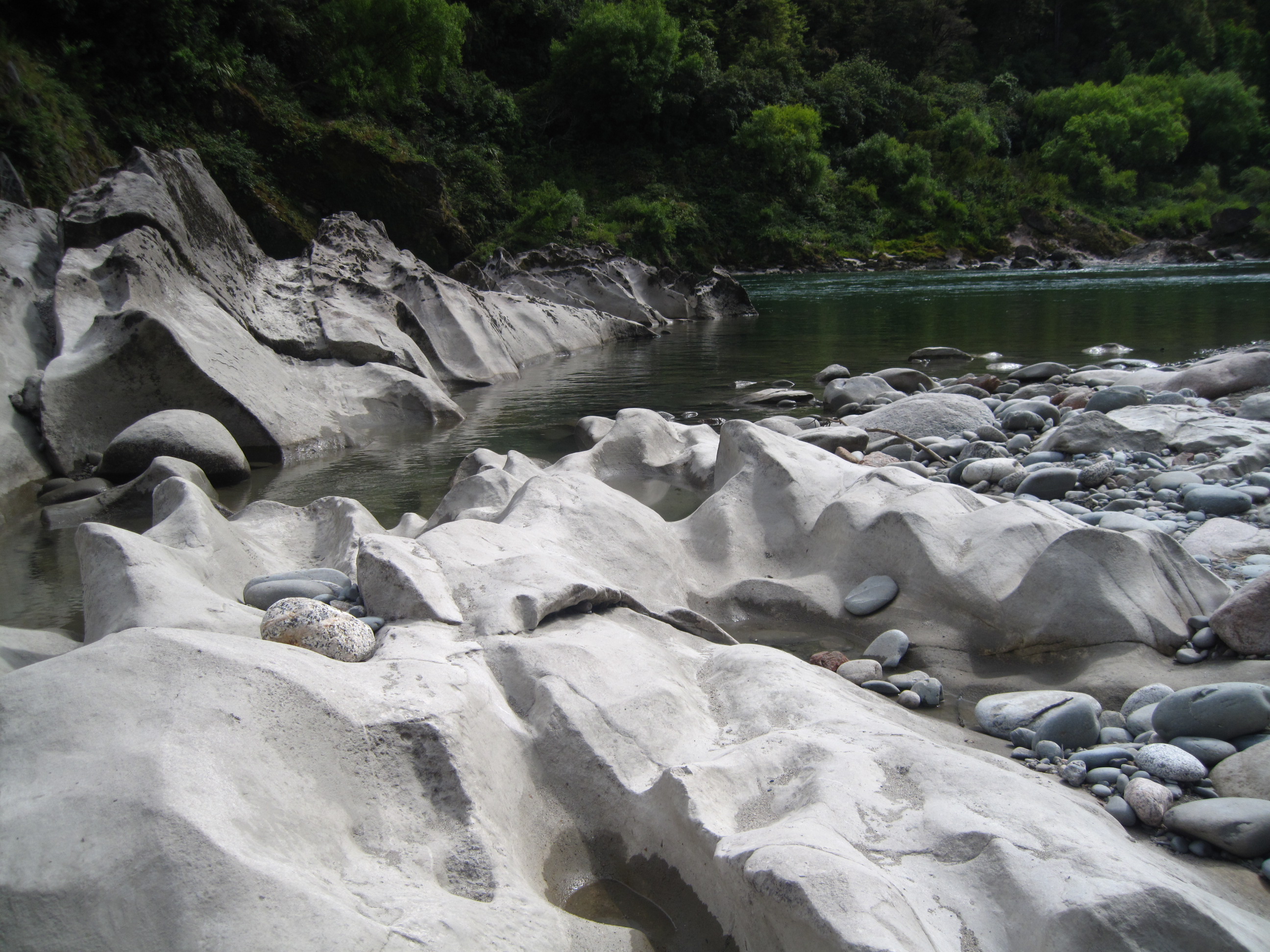
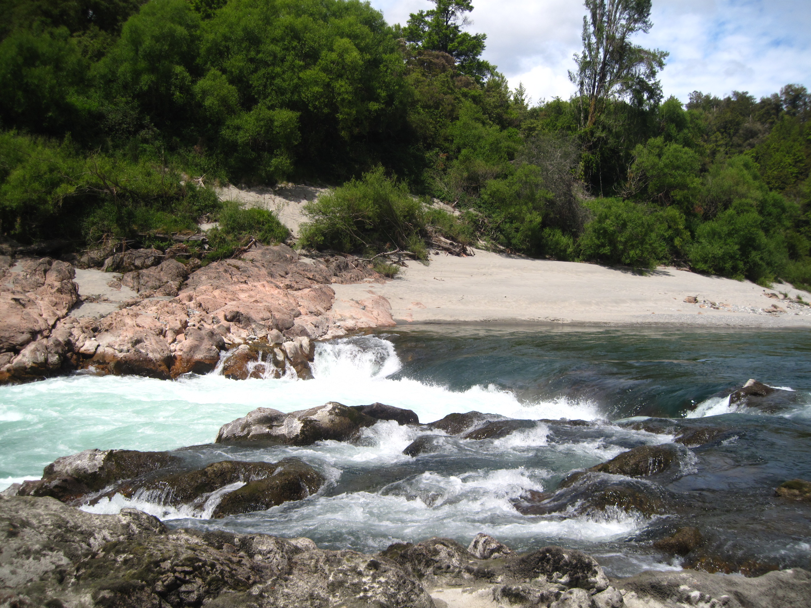
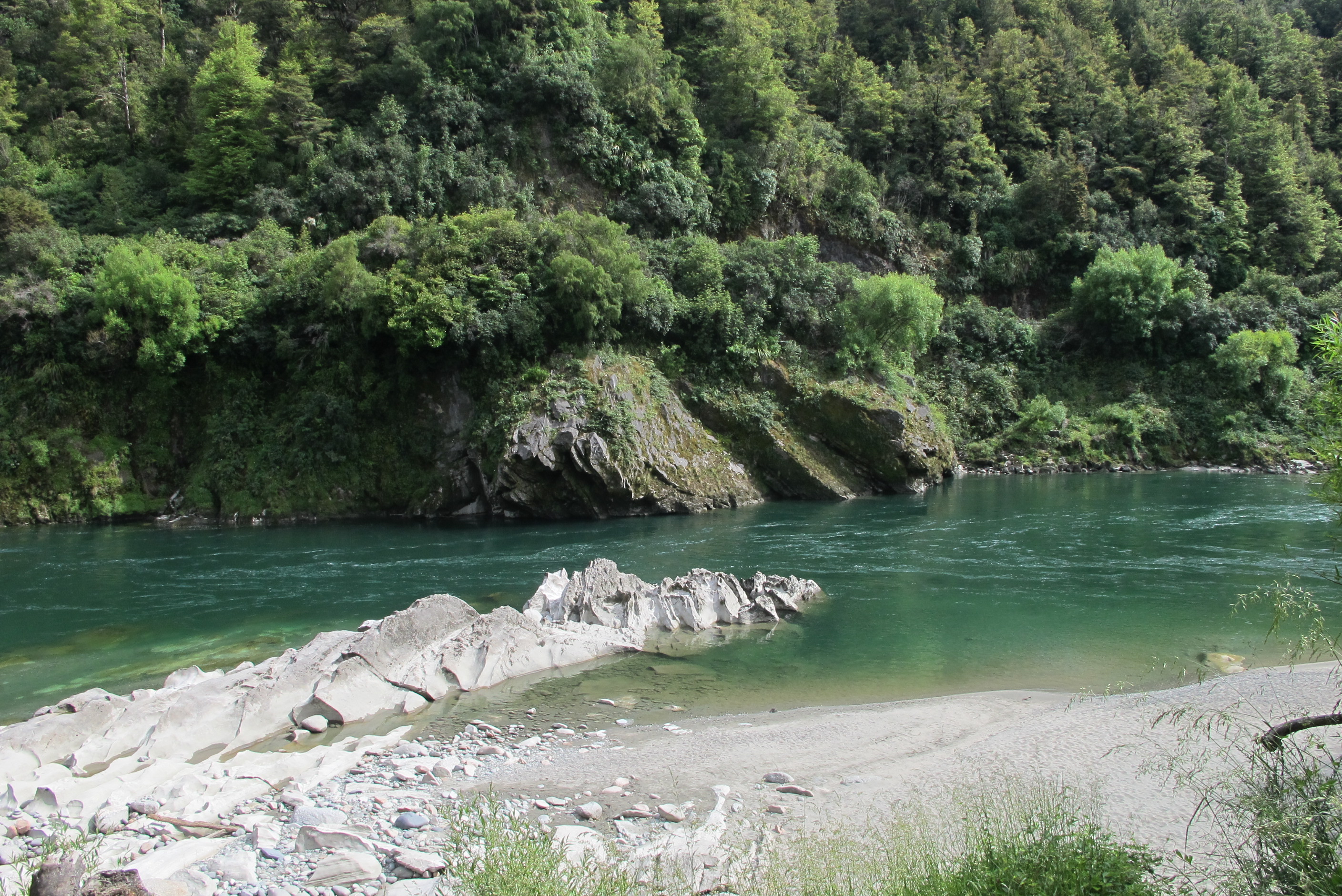
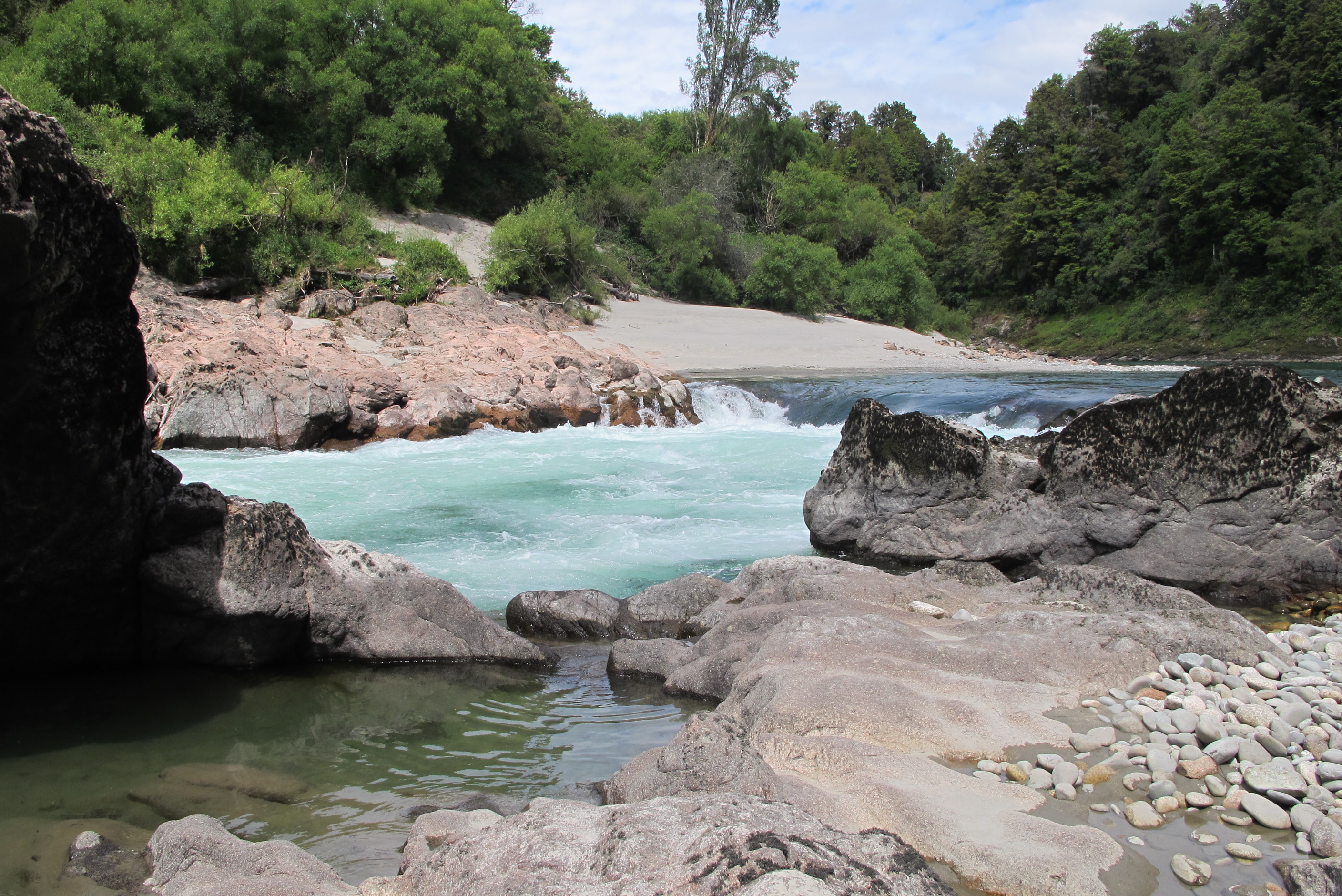
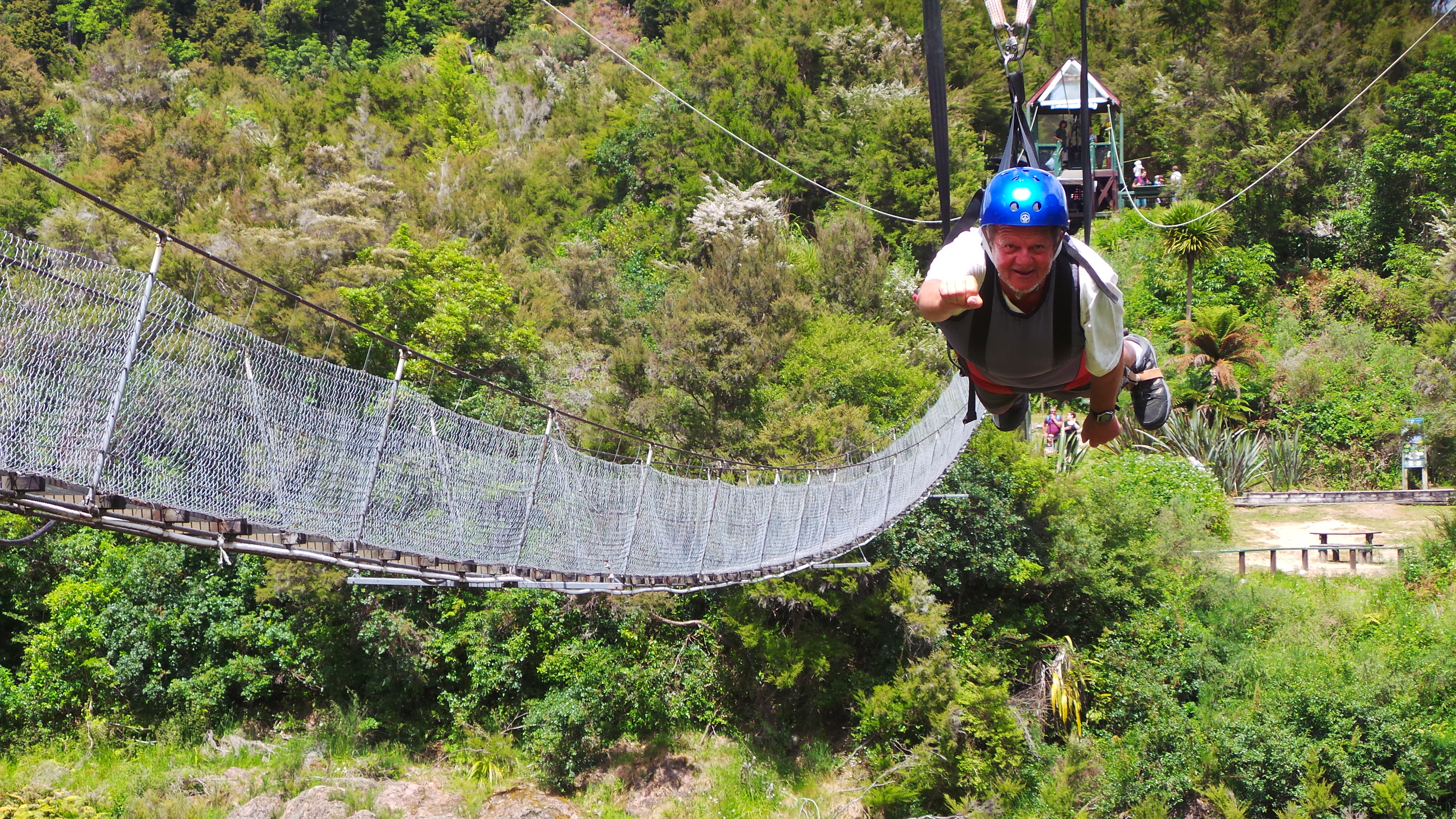
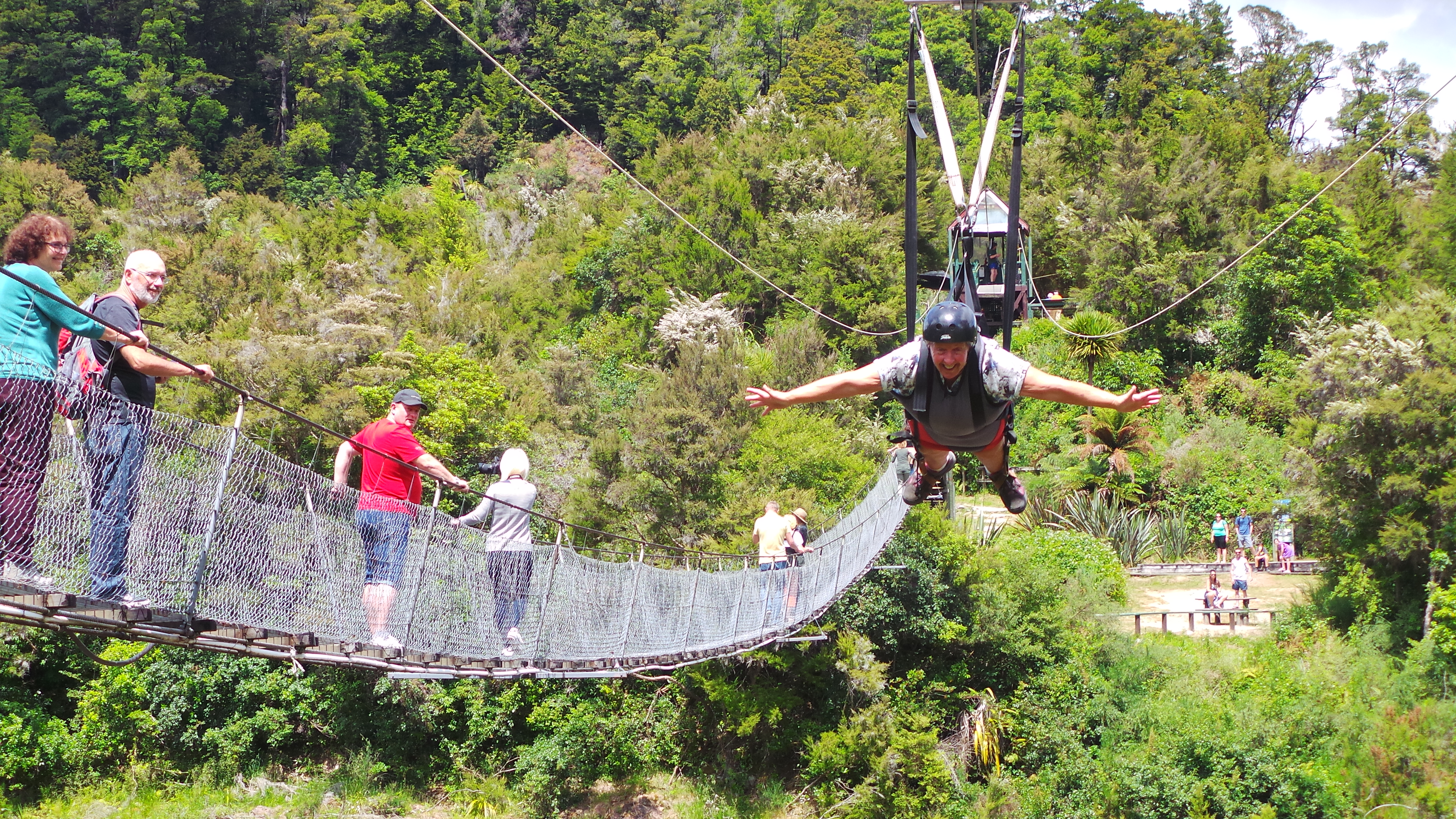
Really bad night last night! Mosquitos dont ever bite me, but these sandflies love me! As Neil says welcome to my world. I have about 50 bites, mainly around my feet and ankles. They itch like mad and hurt as well. I look like I have a bad case of the measles! I don't scratch, I put on the creams and bonjela, which is the recommended antidote, but nothing works. So I could not sleep! Cannot wait to get over to the east coast as they should not be there!!
I drove again today and what a beautiful drive it was to Buller Gorge swingbridge near Murchison. The river wound along beside us all the way and the tree clad mountains were a picture. When we arrived, we hid the car keys in the gas bottle compartment, as we did not want to lose them, and went in to pay for our "Superman" flight. We then walked over the longest swingbridge in NZ. Also, it was mesh to walk on, so could see all the way down to the river below, quite exciting. We then went on a couple of lovely walks. One through bush to a beach on the river, passing various points damaged by the earthquake. It was unbelieveable. We saw some little fantail birds having a bath in a pool, great to see them, they are stunning. Then we walked to the waterfall, through untouched rain forest. It was more of a scramble amongst trees, roots and rocks, great fun and very quiet with only birdsong accompanying us. Then we reached the river and had lots of climbing and scrambling over the rocks. I found a little place where I could get in without risk of being swept away by rapids, stripped off and cooled off! Wow, fabulous!
We then walked back to the tower where we were harnessed up in turn, ready to 'fly' over the canyon back to the other side. When safely secured we had to run down a little slope then launch ourselves off as if doing a belly flop! Oh my god, quite something to launch yourself into the air over a huge drop, but what a thrill! Then we flew across, all too quickly. We both loved it so much! Would have done it gain if we could.
Having spent more than 3 hours there, time to drive on to reach the east and Blenheim. Not the most fun drive as so many lorries. Because the main route down SH1 is still shut, everything is diverted. Also, because road cannot really cope with heavy lorries, and it has been 2 years, they need a lot of repair, so roadworks everywhere. Anyway, here now and settled in an out of the way place. Tomorrow we see a bit of this coast, go back through Blenheim, which looks really nice and spend the night close to Picton. We then travel on the ferry back to Wellington and the North Island for the remainder of our holiday. Suddenly the end is in sight, time has flown but also seems to have been ages as we have done so much. Still another 10 days or so to enjoy.
Left Carters Beach early, Sue still driving as Neil's wrist not 100%. We got to the Buller Gorge, whose claim to fame is that it has NZ's longest swingbridge, at 110 metres. We walked over the swingbridge and walked the "easy" loop on the other side. This took us by the river and at one point there was a marker on a tree showing the height of the river during the 2010 floods. it was about 5 metres up. Quite impressive you may say, but when you consider the current height of the river is about 10 metres below the base of the tree it becomes even more impressive. Having done the loop we decided to take the 30 minute walk to the falls (which only takes 20 minutes). This goes through undisturbed podocarp rainforest and is an easy but non-manicured walk. At the end it is a bit of a scramble down to the river and since we were the only ones there Sue decided it was time for another swim, but this time without getting panties and tee-shirt wet!
Later on a girl appeared on the opposite bank with a camera and a few minutes after that a guy with an inflatable boat and a set of tourists appeared. The guy launched the boat into the rapids and was swiftly whisked downstream about 30 metres past the tourists who were wanting to board. Since he couldn't get back to them he indicated that they should jump in the river and come to him instead, which they did. I'm sure they all enjoyed it, though one guy seemed a little disoriented doing it. Then it was back to the swingbridge.
We had decided that instead of walking back over the swingbridge we would cross the gorge on the zip-line that runs alongside the bridge. Not only that, but instead of a (fairly) sedate trip back on a chair harness we would return "superman" style. basically dangling horizontally from the zip-line in a "superman" posture. It was great. There was an operator at the top who hooked us up in a harness and did all the safety checks, then you were exected to run a few metres before launching yourself into mid-air over the gorge. We had quite a few spectators and the staff all commented on what good sports we were to do this. If you ever have the chance make sure you do it too, it is so exhilerating.
We then drove into Murchison for provisions and to visit its world-renowned butchers, only to find they were closed at weekends. So Sue picked up some sausages and bacon steaks from the local grocers which Neil BBQd later. She then drove to Blenheim, which is a lovely town. We passed by vineyard after vineyard on the way. At Blenheim we took stock and decided to travel about 50 kms down SH1 to a "wildernesst" site and do some walks around there in the morning, then stay close to Picton the next night and catch the InterIslander ferry back to the North Island on Tuesday. Neil went on the web and rearranged the ferry booking date and time and we had a nice BBQ meal before an early night. The freedom camping location was secluded and quiet, we were the only ones there, but we'd have done better going North of Blenheim instead of South - see tomorrow's entry.
night |
kms |
Overnight Stay at |
Cost/night |
Facilities |
Wow Factor |
Photos |
|---|---|---|---|---|---|---|
| 36 | 136 | TOP10 - Lower Hutt | $45 | 3 | 3 |
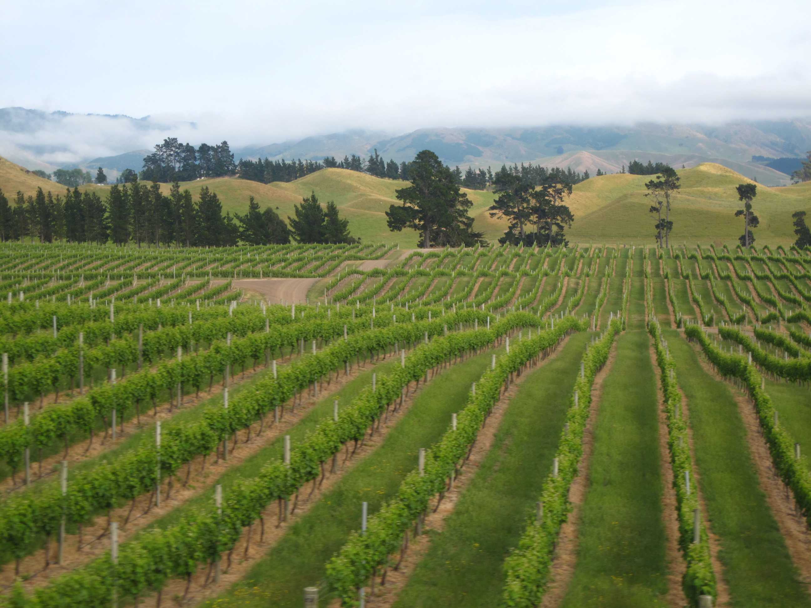
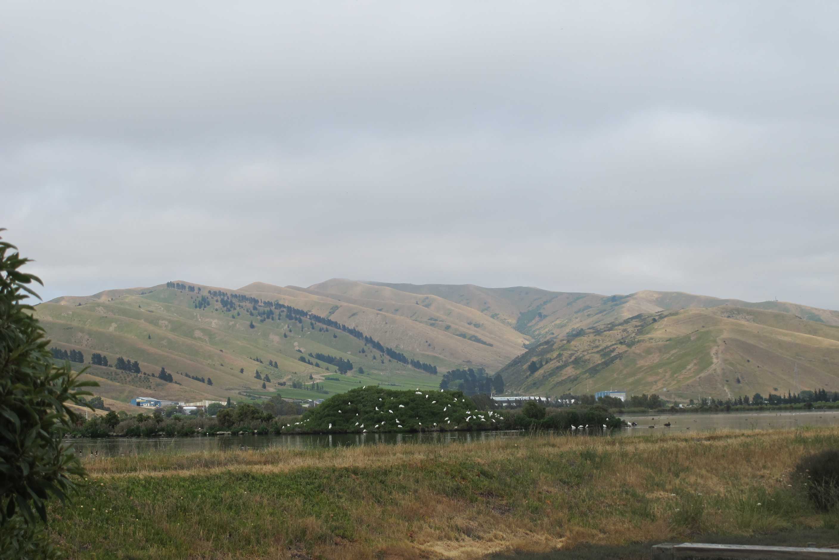
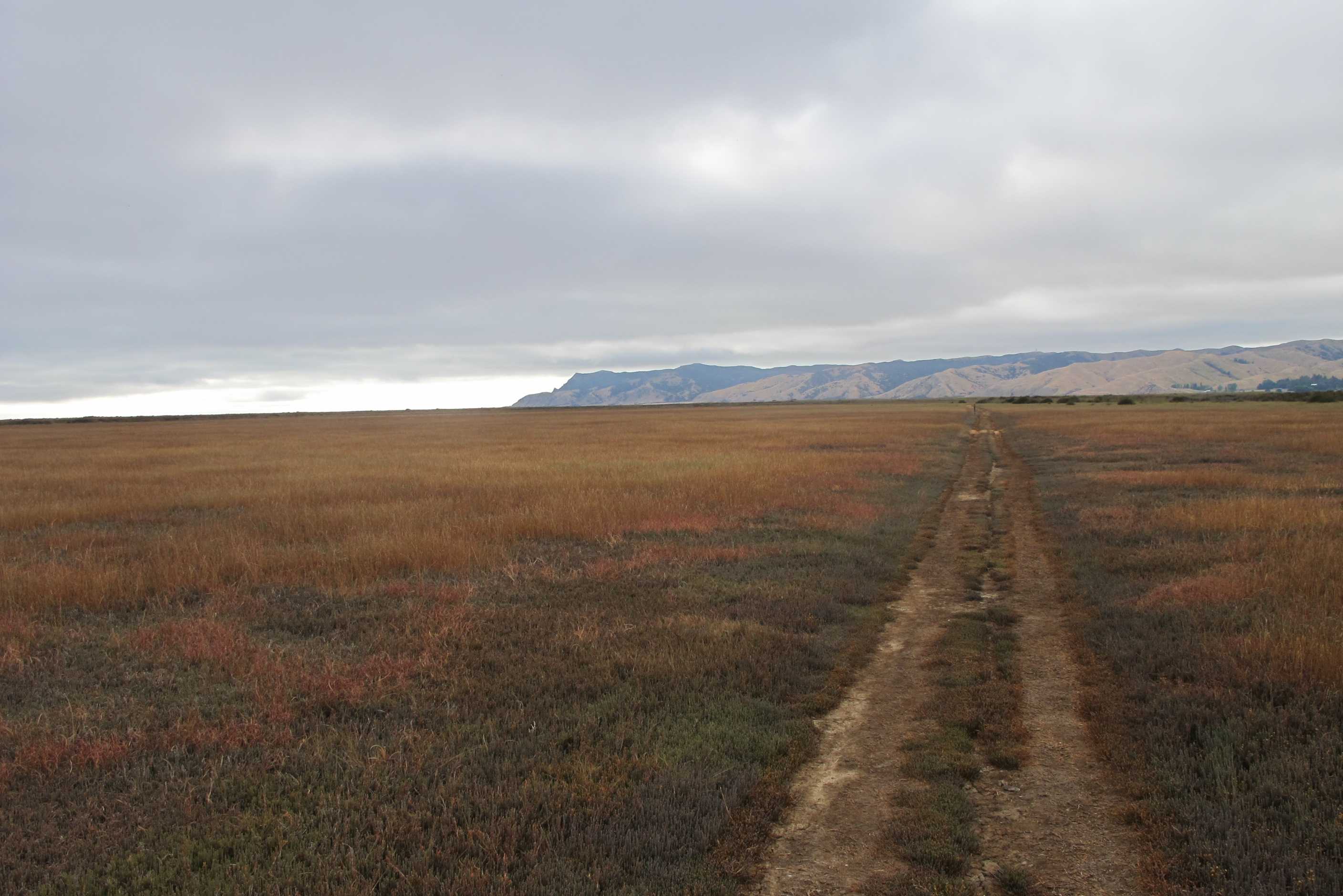
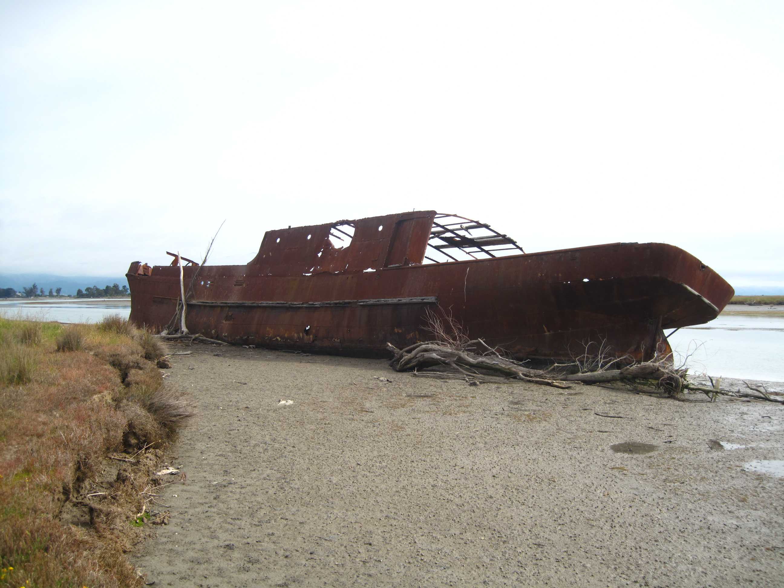
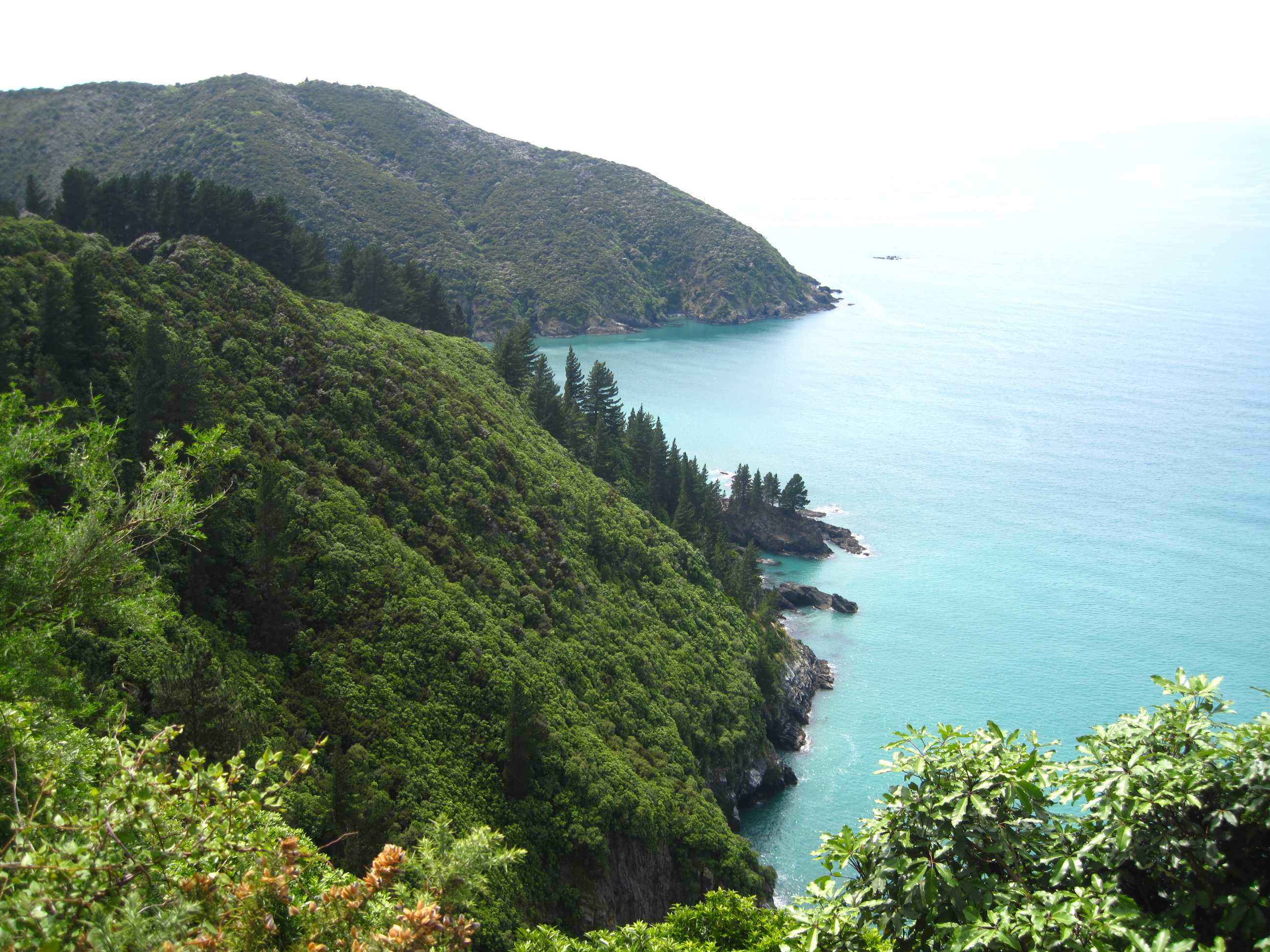
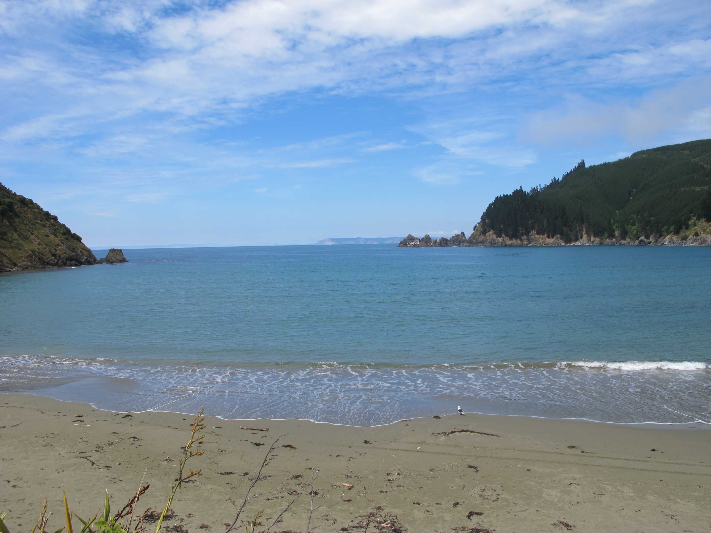
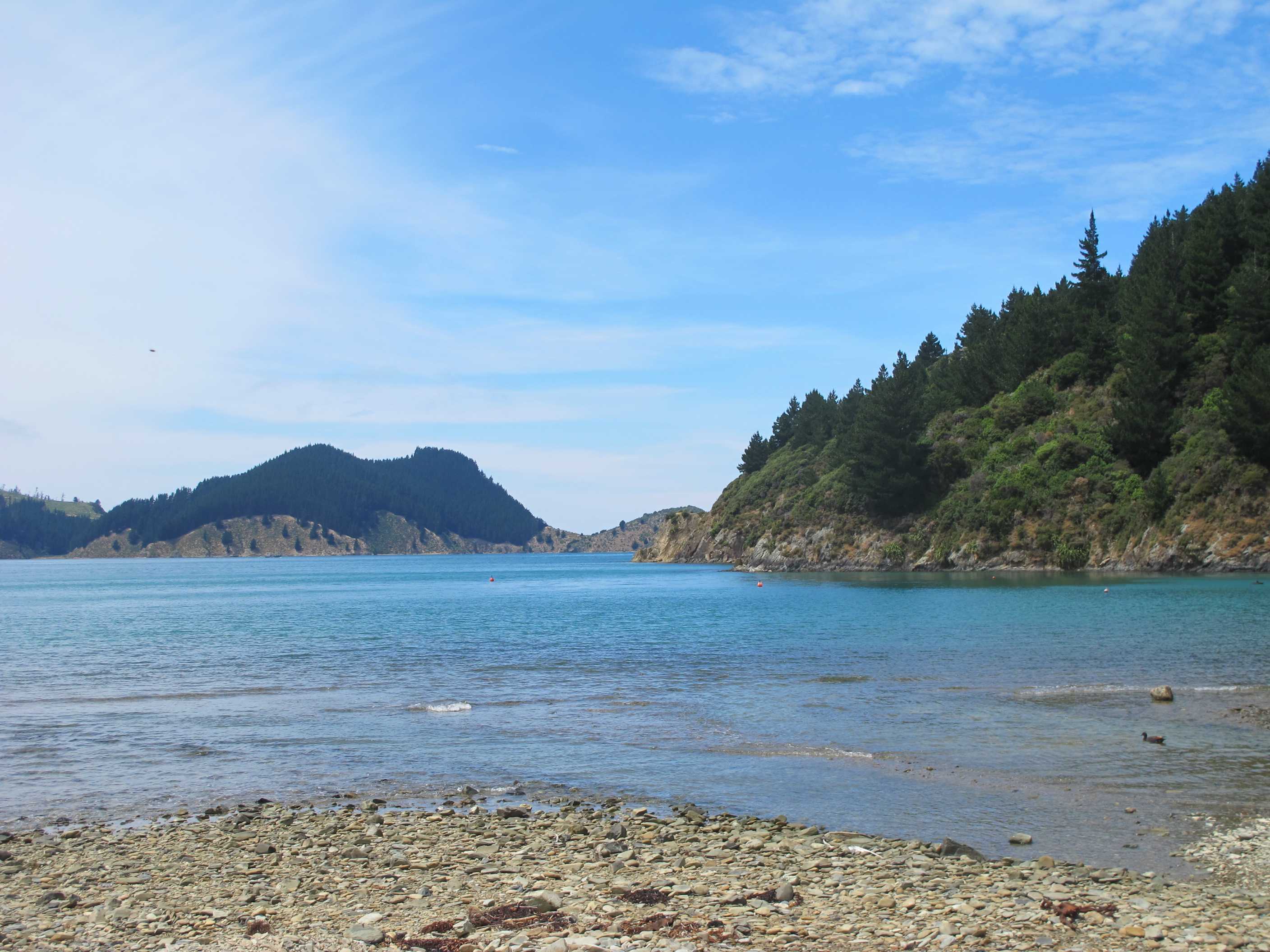
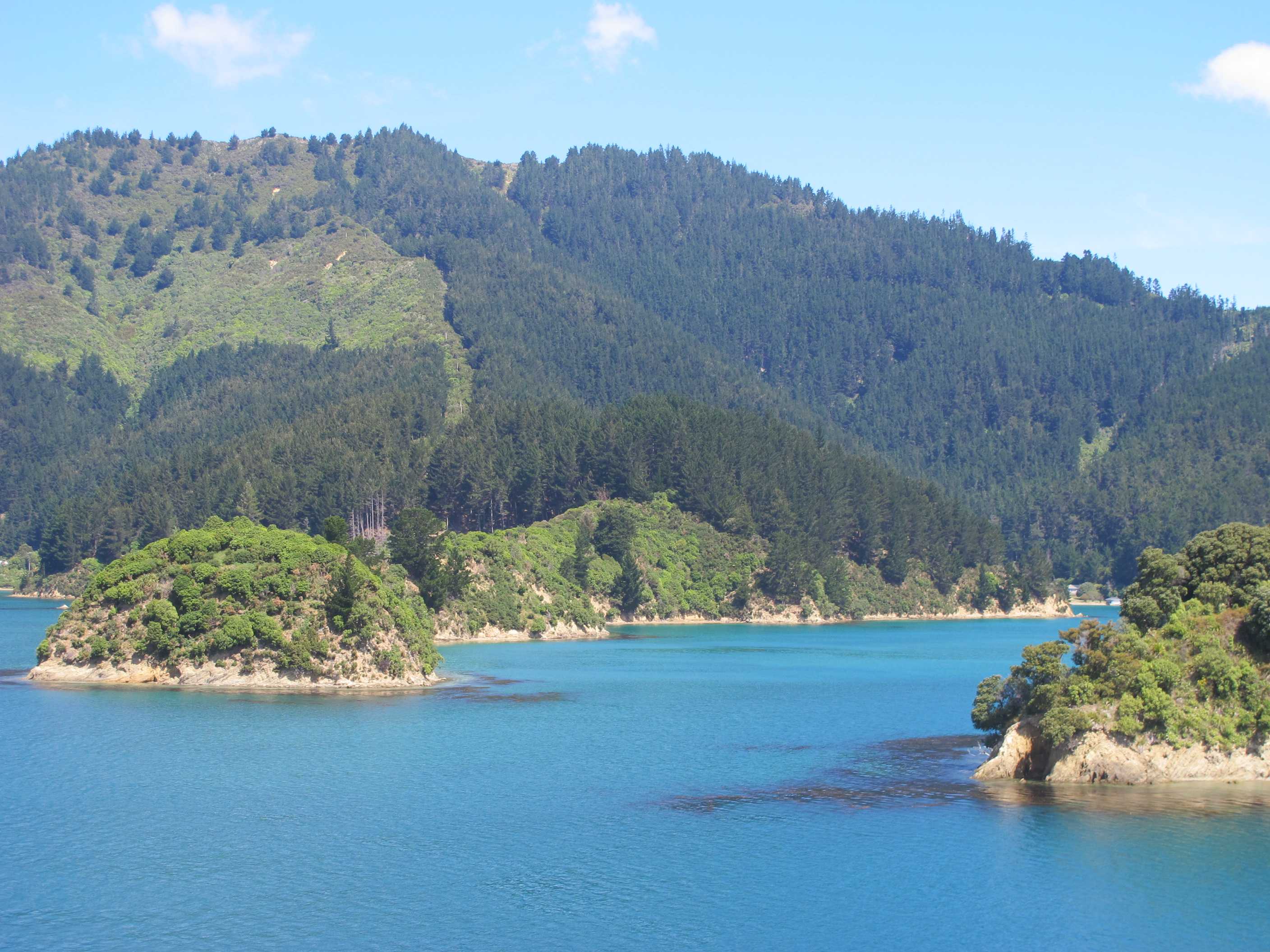
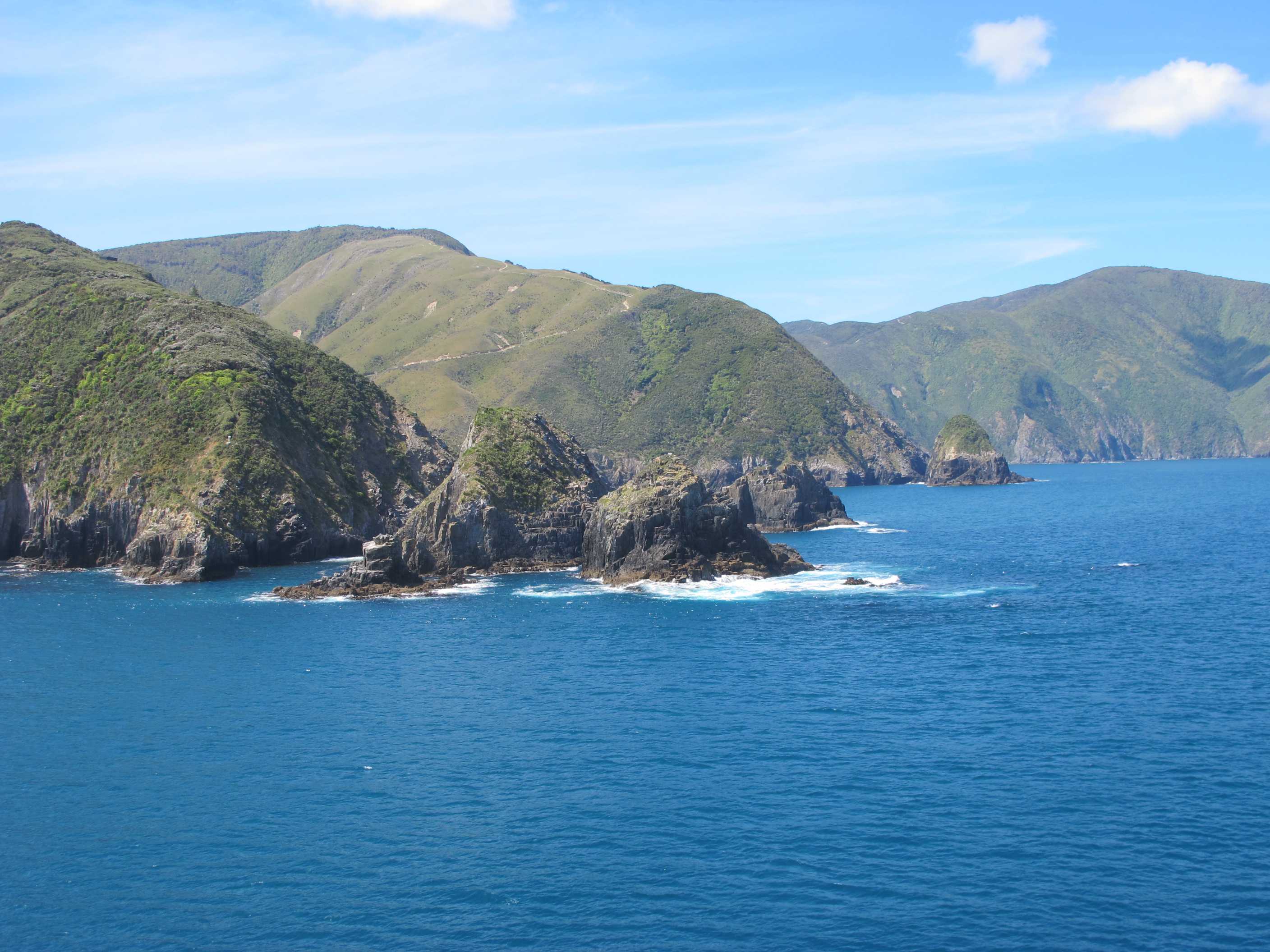
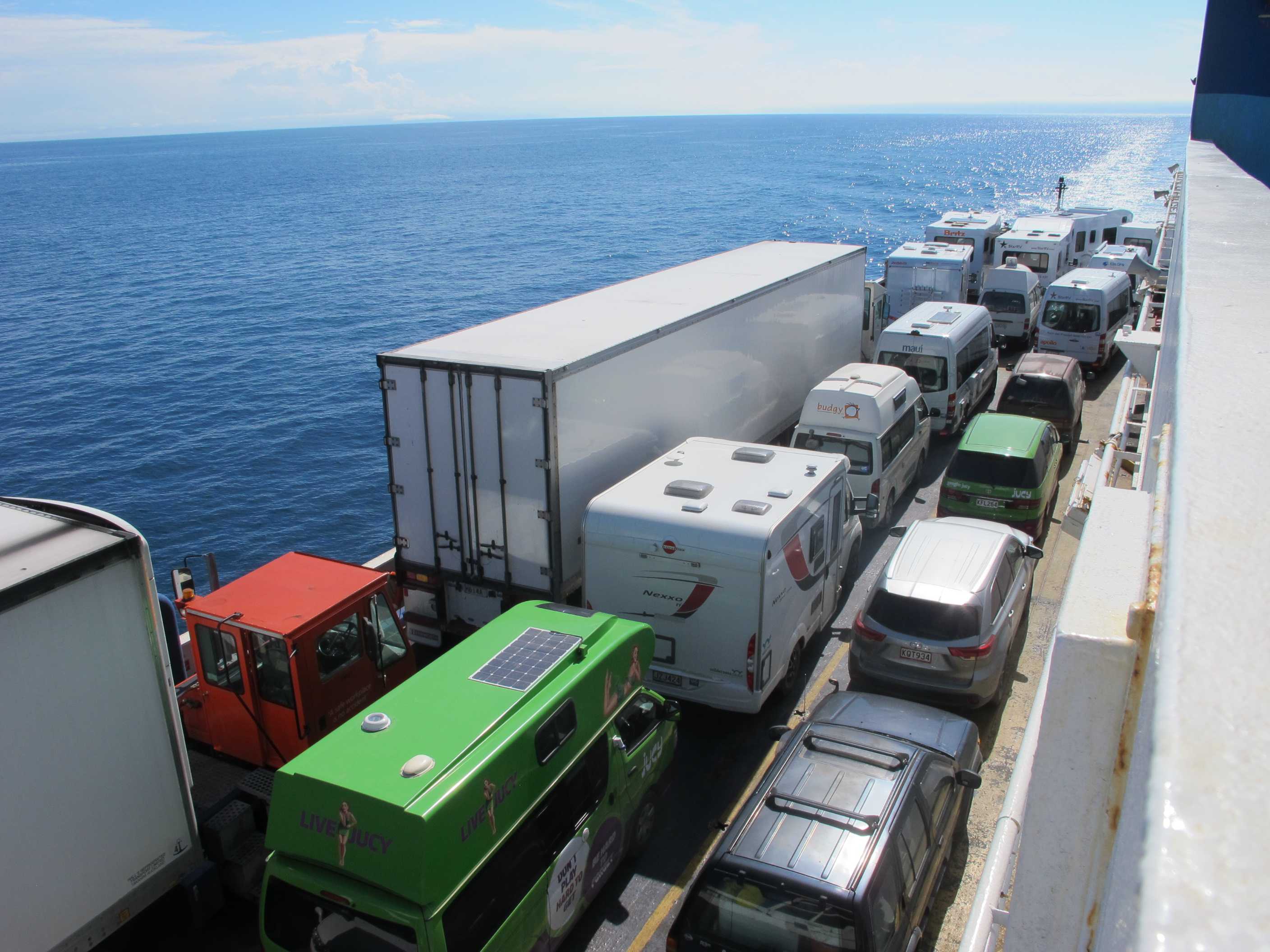
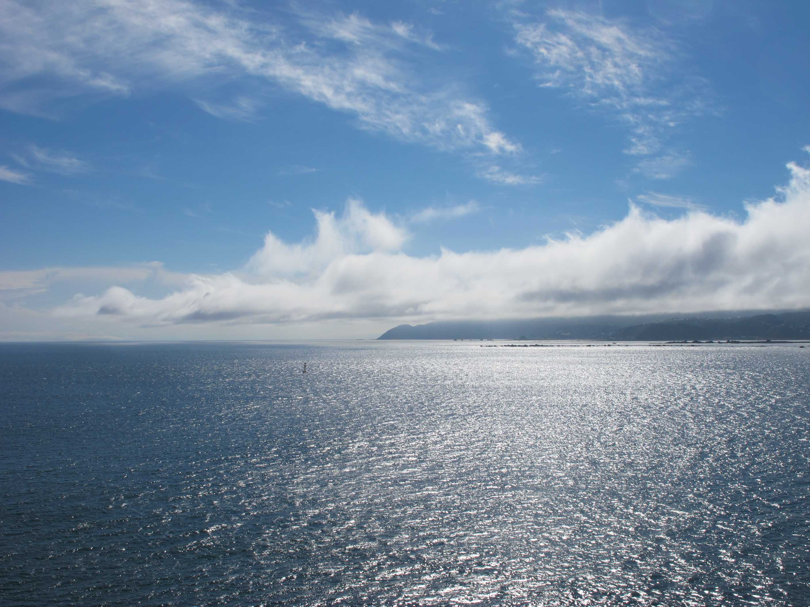
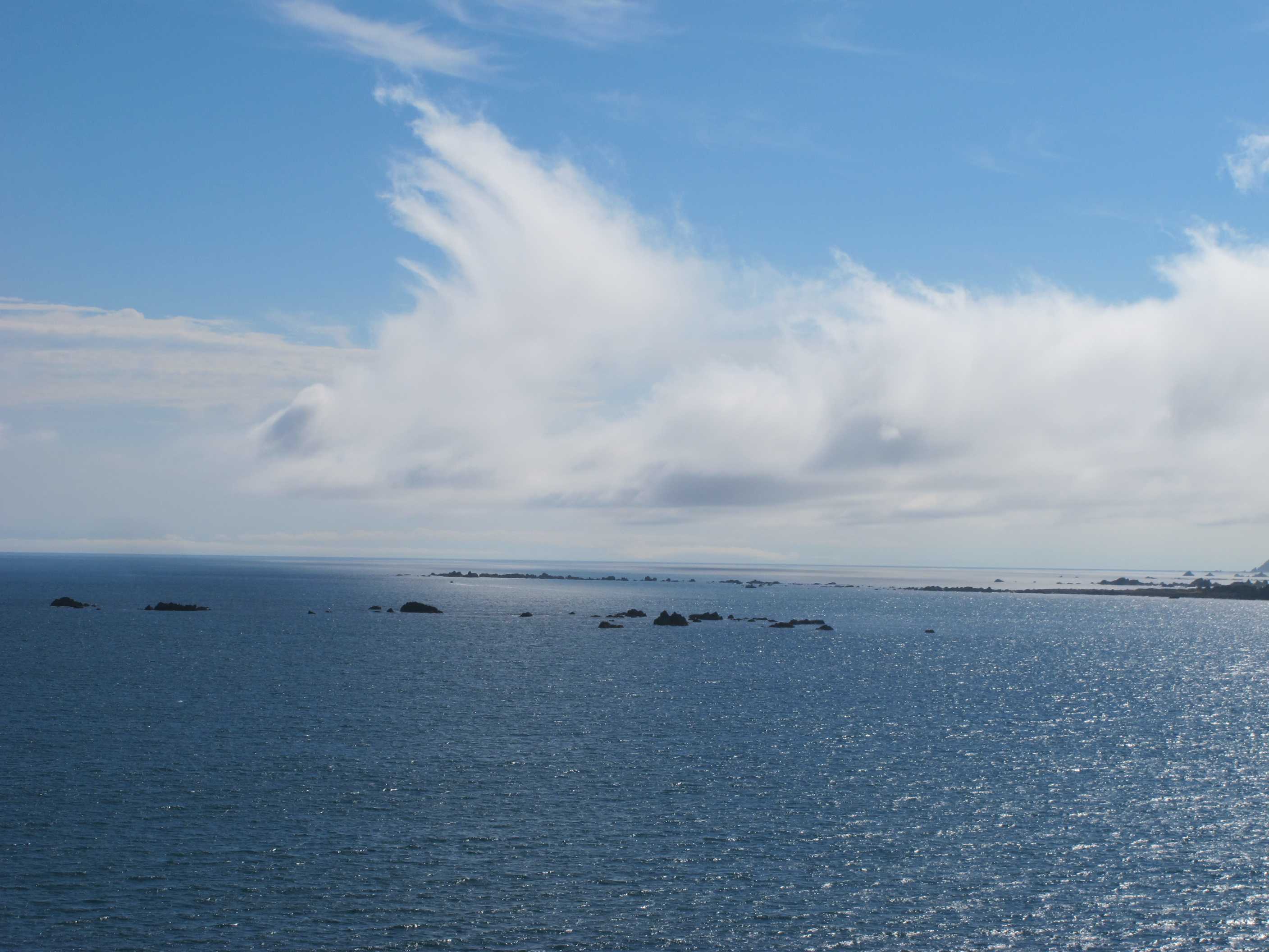
Well, all change this morning! Had a much better night as took an anti-histamine! Worked well as did not feel them itch. I still look like I have measles but after seeing other people with bites, I don't feel so bad. We have now left the sandflies behind thank goodness, so hope bites will go in a few days.
We decided to take the ferry this afternoon as a couple of things we planned to do, we're not such a good idea. We went for a nice walk over marshland to a rusting wreck. Walk was very pleasant and different. Lots of birdsong and nothing else! Lovely. Quite long though, 2 hours, so had to rush to do the scenic drive to get to the ferry in time. What a drive though, 42 km more than half of which was gravel. It was up and down very curvy and narrow as it hugged the shores of a fjord. The views though, double wow(!!), absolutely worth the difficulties. I got a little worried though as we were very low on fuel and were running late. Still, we made it and got the 2.15 ferry.
It was a lovely crossing, calm and sunny and views through fjords to the Cook straight were stunning. Arrived at 5.45, but unfortunately unlike on the way over, we were nearly last off! As we were driving out of the port saw a guy that was on our ferry being led away by the police, in handcuffs!Nearest Then petrol with a sigh of relief! Now settled in a TOP10 site on outskirts of Wellington for the night. So back to the north, feels like the start of the end! Lots still to do, hopefully to finish with a day or 2 on Waiheke island and at last a chance to sample wines with no driving!!
Got up early as the crews fixing the earthquake damaged SH1 were using that part of this site nearest the highway for parking their vehicles and they start at 7am! We waved at them on the way out and they all looked stunned. Perhaps we were the first motorhome they had seen this far down the highway since the quake. There appeared to be a lovely walk close by, but it involved a long gravel path then wading along a river for a couple of kilometres to see Sawcut Gorge, a stunning canyon. This may be a good walk in summer, but the water at this time of year doesn't lend itself to immersing yourself for more than a few minutes. So we went for a 2-hour walk to see the wreck of the SS Waverley. The first part of the walk wasn't too bad, through grassland and wetland, the wreck was fine, but the second half of the loop was a bit boring. The car park was next to Blenheims sewage treatment works - enough said.
Sue really wanted to sample the local delicacy, langustine. so we stopped off in Blenheim to ask where we might get some. They told her to try in Picton. We decided to go to Picton "the back way" along the Port Underwood Road, rather than belt along SH1. While scary in places, this was the best decision to have made. The road takes you above and past lots of beautiful little coves. But it is not for the faint-hearted. Most of this road is unpaved (or unsealed as they say in NZ). Although the gravel track is quite good it does slow you down, especially going downhill. It is a little narrow in a few places and luckily the one big lorry we met coming in the opposite direction kindly backed up a few metres to let us pass. We also met the lady vet going in the opposite direction, but apart from these there was no other traffic. The bays we saw, Rarangi, Whites, Robin Hood, Ocean, Bob Canes, Oyster and Whatamango were out of this world with the clearest water you could come across. We should have stayed at one of these last night, but you only realise things like that in hindsight. At the start of the gravel section the "low fuel" warning sounded. It sounded 3 more times before we got on the ferry at Picton and Sue in particular was very worried we would run out before we were onboard. Neil also admits to being somewhat perturbed too. We were 10 minutes past the check-in time for the ferry, but they are pretty lax and will let you on even if there are only a few minutes to go. Unfortunately it meant that Sue had to forego her langustines.
The ferry crossing was very good. It was sunny and for the most part warm. Better weather than when we crossed in the opposite direction a couple of weeks previously. On leaving the ferry the first priority was to find a petrol station. We stopped at the first one we came across and found it was almost as expensive as on the South Island, so Neil only put $20 in. He'll fill up when we get to one that has more resonably priced diesel. We then drove to the Wellington TOP10 campsite, which is actually in Lower Hutt. Neil booked it, along with changing the ferry booking when we had stopped in Blenheim at lunchtime. Then it was a lovely shower a light supper of toast with various cheeses and tomatoes then an early bed.
night |
kms |
Overnight Stay at |
Cost/night |
Facilities |
Wow Factor |
Photos |
|---|---|---|---|---|---|---|
| 37 | 367 | NESST NH6 - Cape Egmont (Freedom Camping) | 0 | 6 |
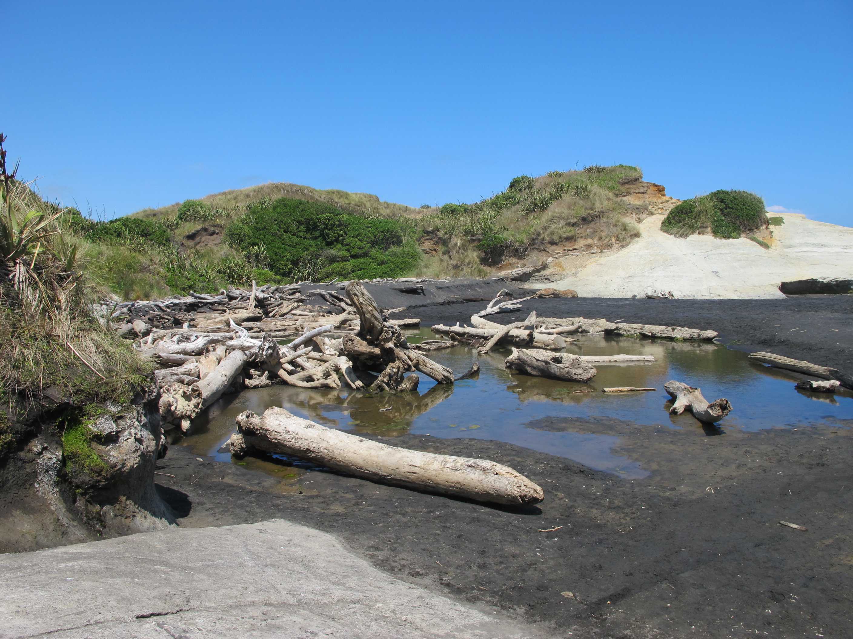
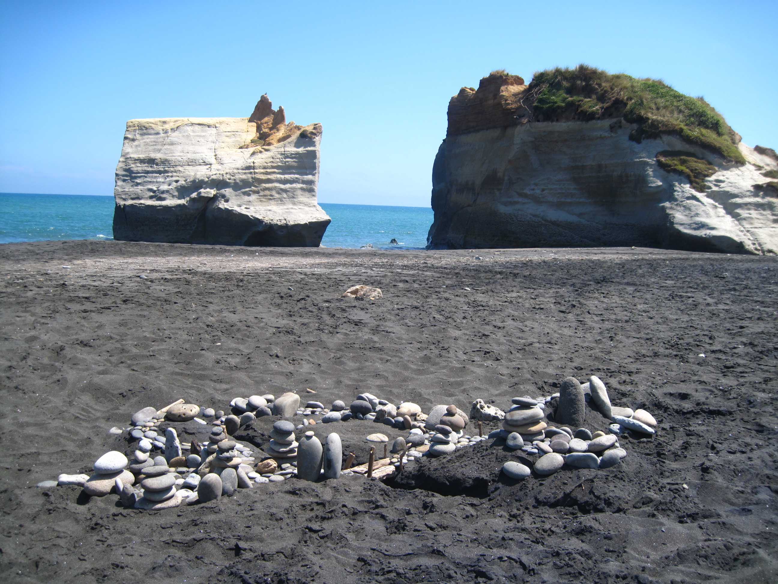
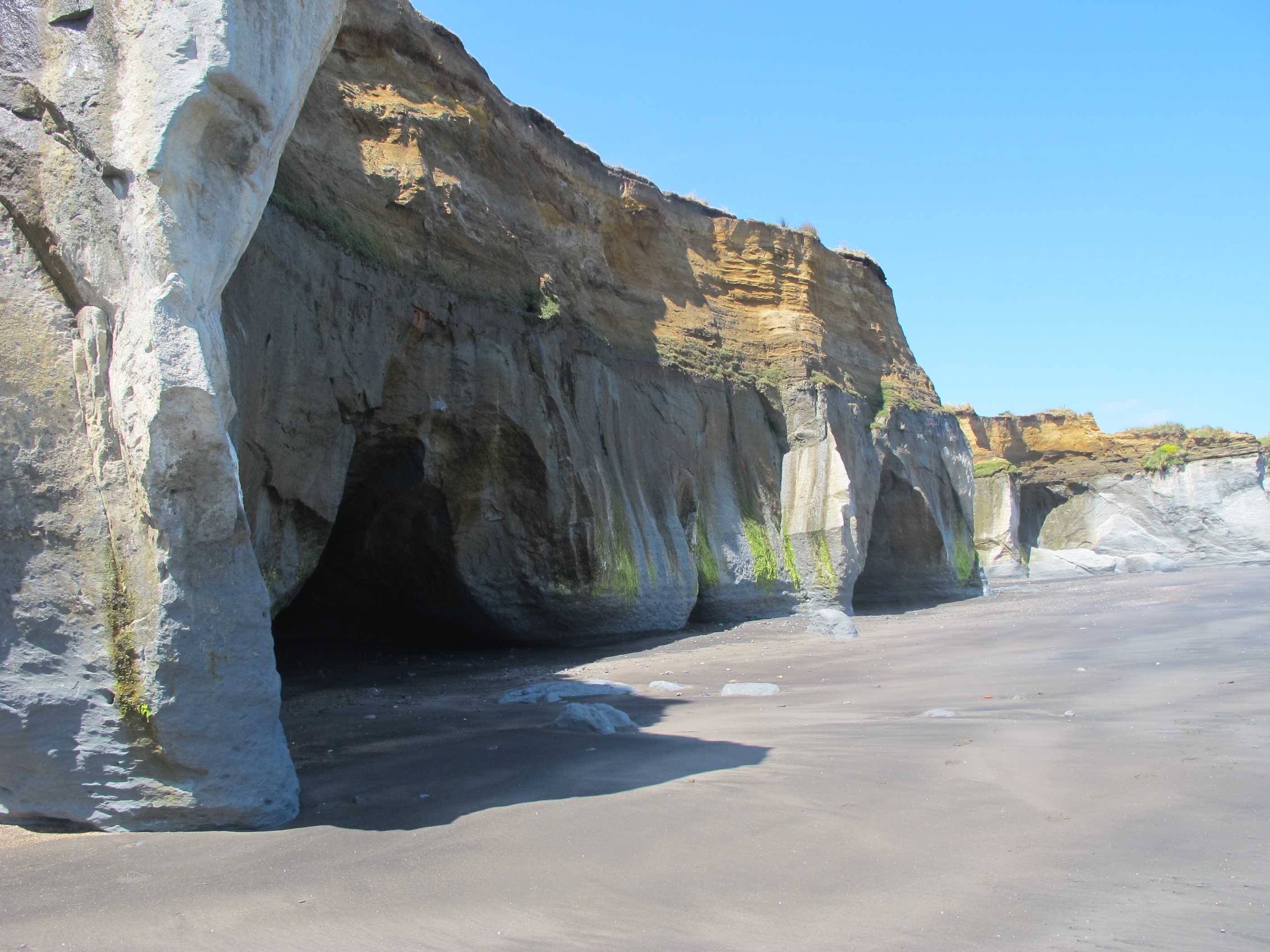
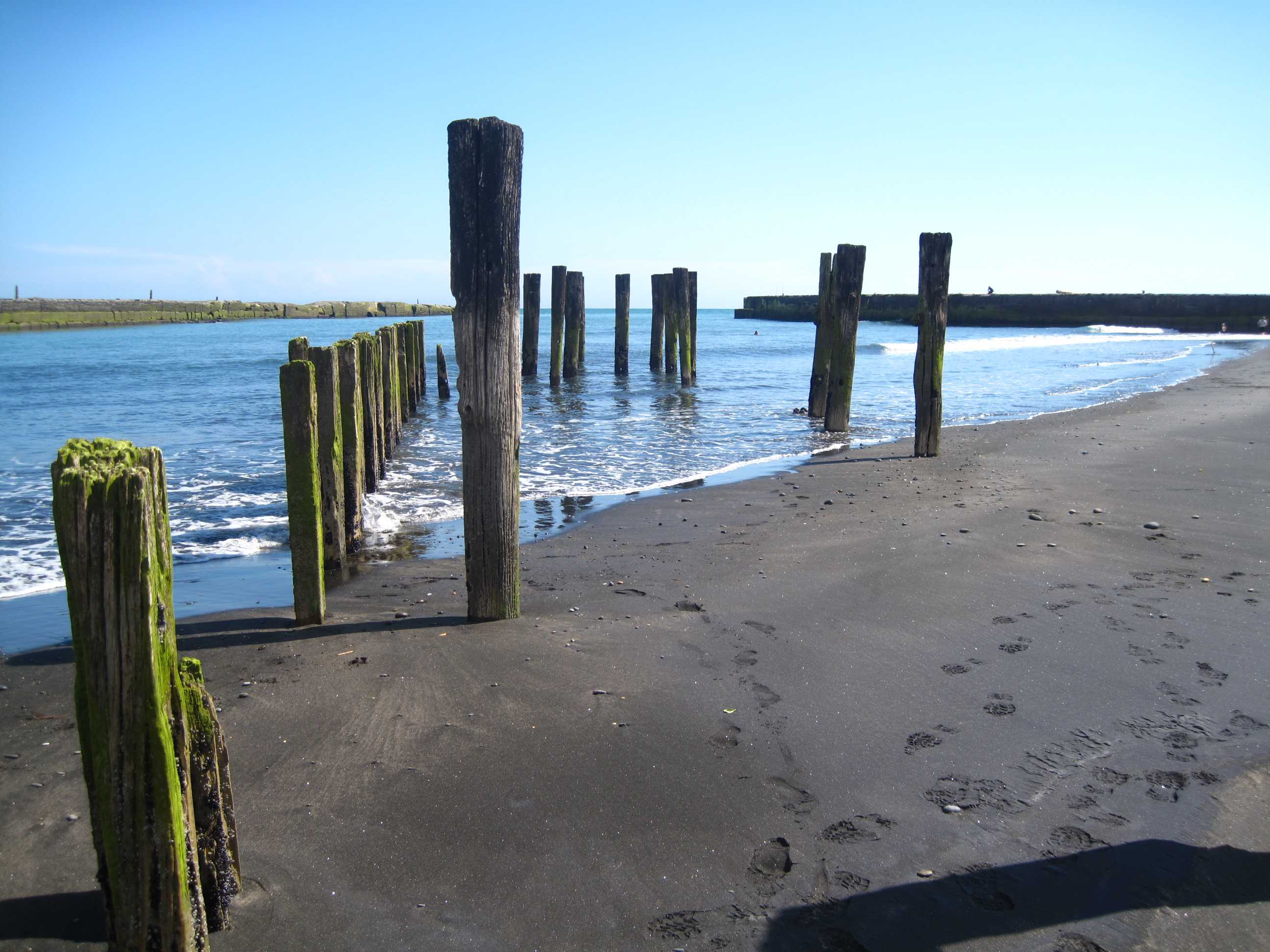
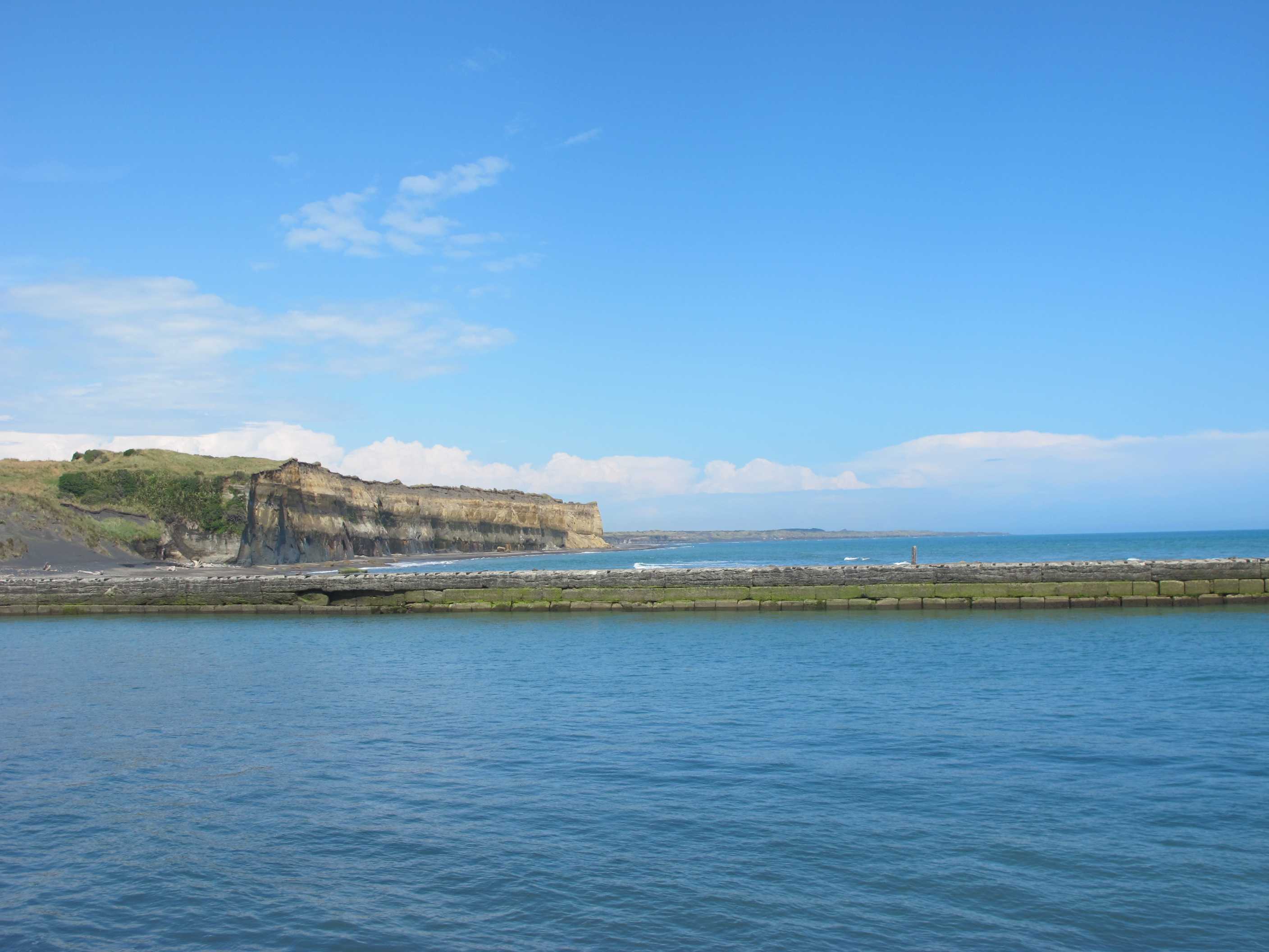
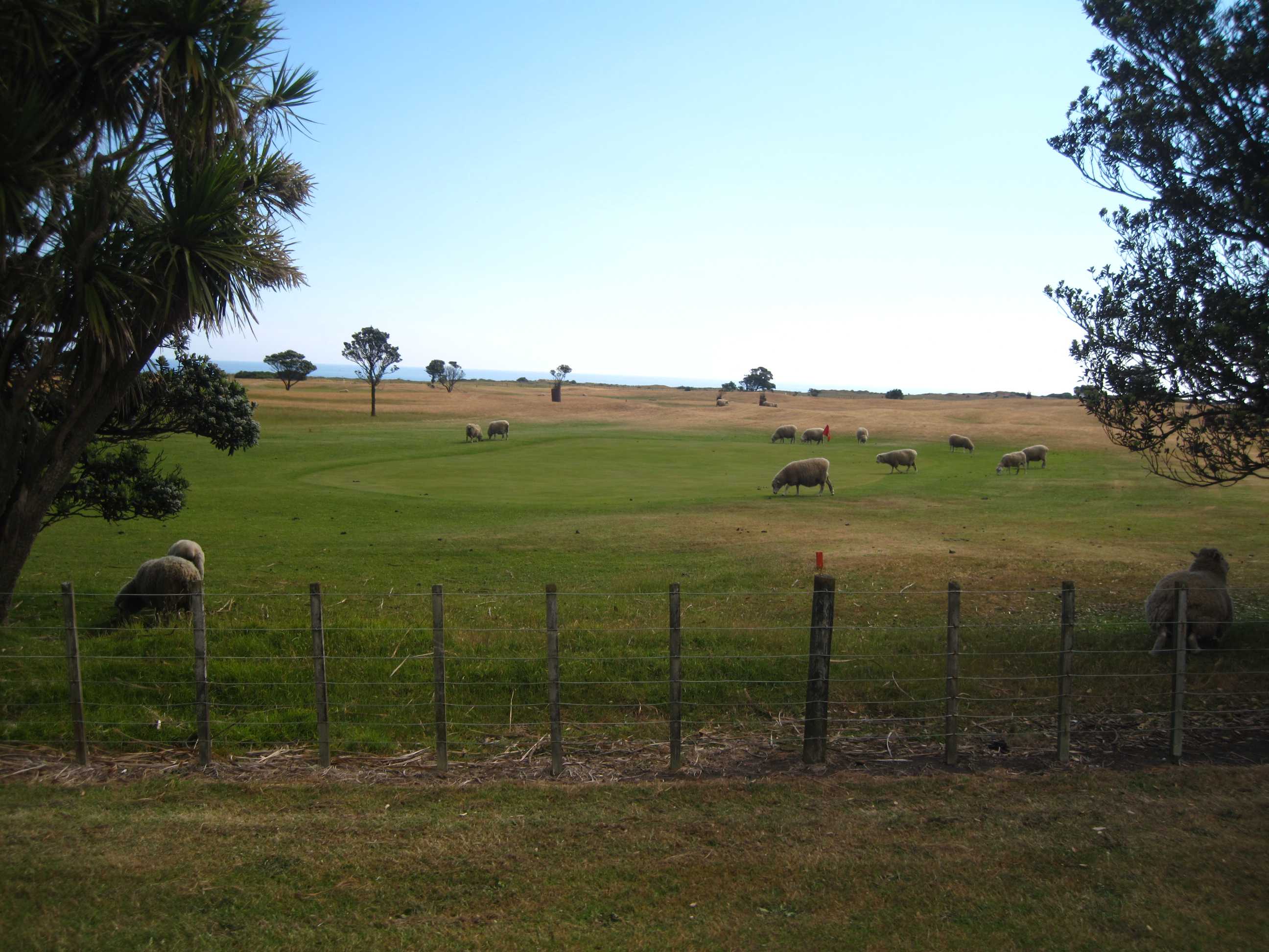
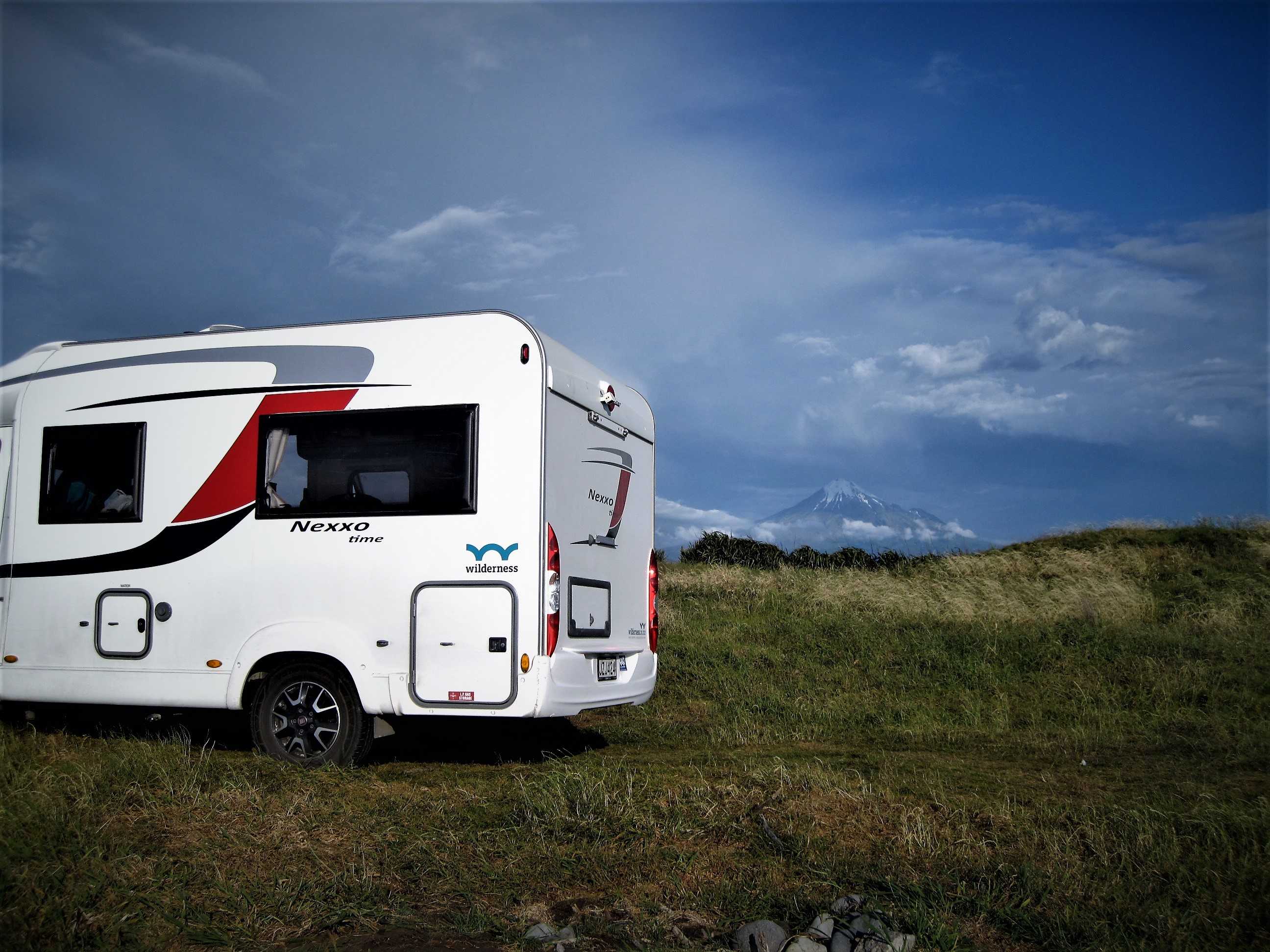
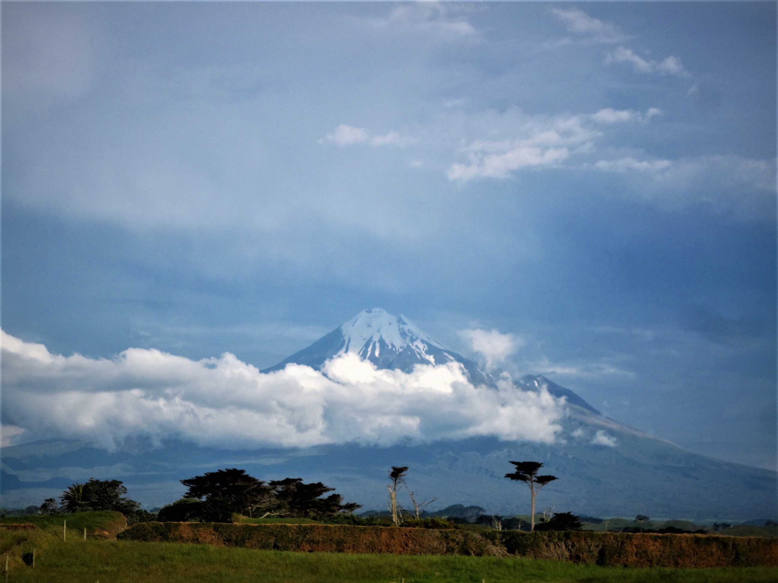
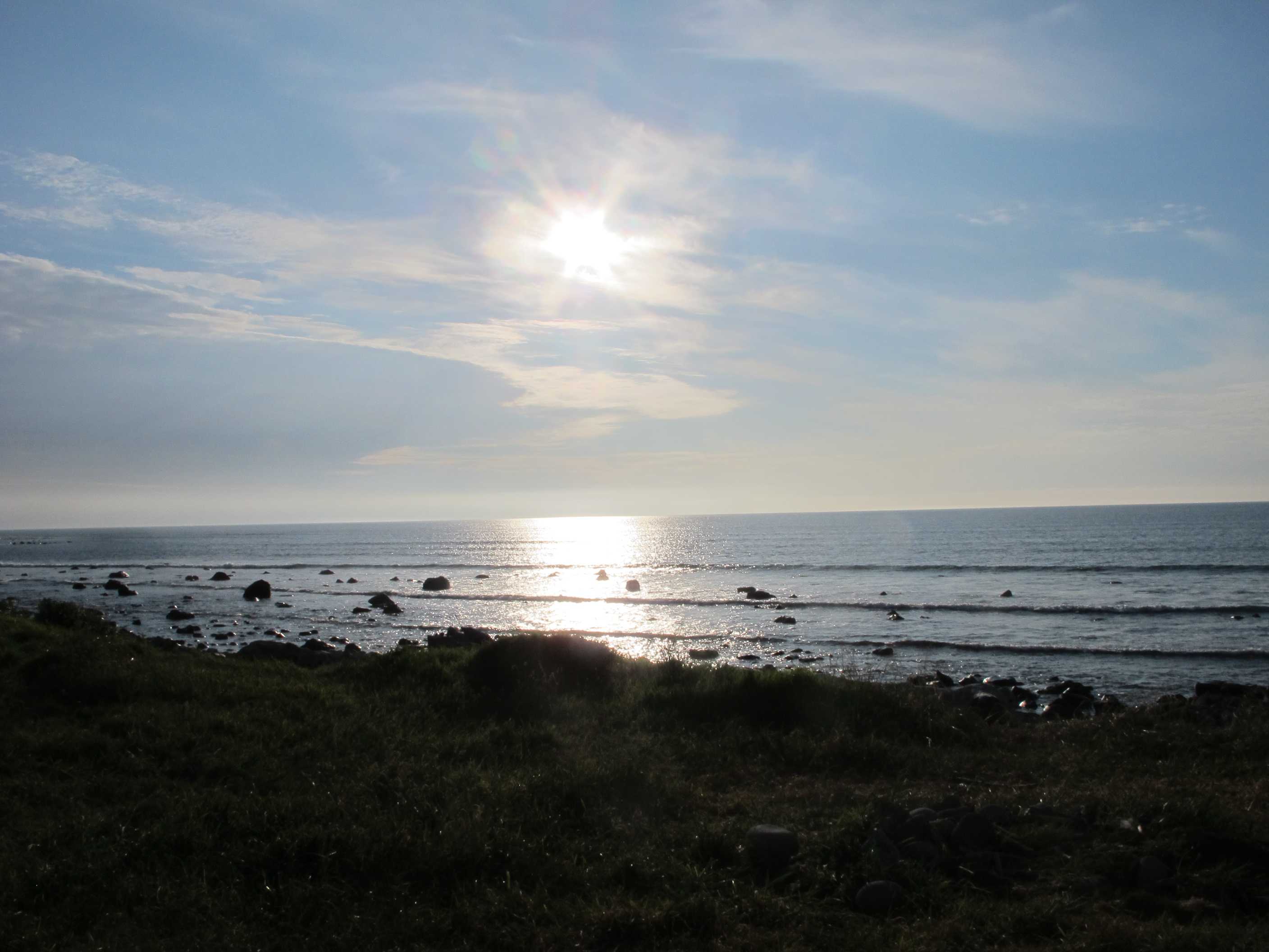
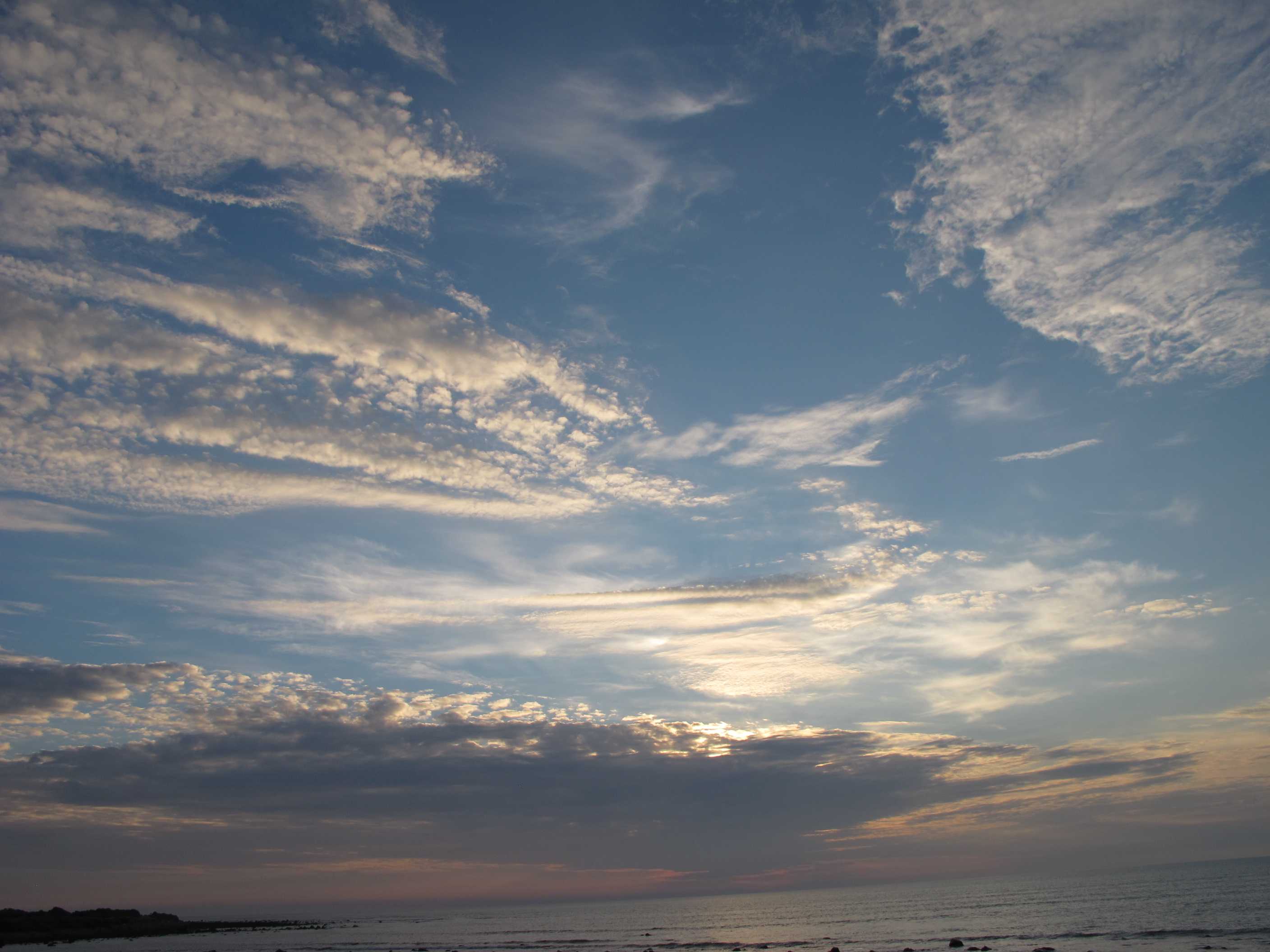
After a nice relaxed evening and good night, we left for the long drive to Whanganui. We set off at the wrong time and hit rush hour! Not good but once clear of Wellington it was a very pleasant drive, loved going through all the small towns, they are so different to what we are used to and very interesting.
Whanganui is a lovely town. It is next to a pretty river and there is lots to see and do. We mooched around some shops and I treated myself to the most gorgeous and unusual scarf, love it! We had a nice coffee (tea for me) and a snack, then on our way again, heading for New Plymouth direction. We stopped at Waverley beach and what a stunner. The blackest sand we have ever seen. Fabulous cliffs with many caves. There used to be a magnificent arch but sadly erosion caused it to collapse recently. Still a great place to visit.
Then on to Patea beach. This was also black and had a shipwreck, or the remains of. Apparently it was hidden buried under the sand for many years, the suddenly after a storm, there it was, everyone was quite surprised! Again it was a gorgeous beach and, not having swam In the sea at a black sand beach before, I had to go in! Was not too cold and I loved every minute. Again, Neil watched from a safe dry place with the camera!! We passed a golf course, with rounds offered for $10 per person, bargain, we thought, then we noticed the sheep all over the place! Even on the greens! A novel challenge I am sure but not one for us today!
We then travelled on to our nesst for the night. Wow a hundred times over! Totally secluded, right next to the amazing coast and sea with views over to Mount Taranaki! When we arrived it was covered in cloud, but that soon lifted and she was unveiled in all her glory! A snow capped peak, closely resembling Mt. Fuji in Japan. Apparently it was once used in a film representing that mountain from Japan! We have awarded it our highest rating yet for a nights stay, 6 stars! We then went onto witness the most wonderful sunset. I feel so very privileged! What a place to be, just the two of us, awesome! A dreadful word, but it best describes it!
Long drive ahead of us today on our way to New Plymouth. Had breakfast, then topped up with water and broke camp. Turned onto the main road straight into very slow moving traffic. Of course it was rush hour and everyone was making their way into work. Eventually got on the highway, called "The Great North Road" and our journey was properly underway. Stopped at Wanganui (it can also be spelled "Whanganui")for a snacky lunch by the river and a walk round the town. Sue got a lovely scarf from a shop run by a cooperative of a dozen or so local craftspersons.
Our next stop was Waverley Beach, a jet black sand beach where there used to be a lovely sandstone arch, but this collapsed in 2013. Nevertheless the beach is lovely. Sue took her shoes off and almost burned her feet the sand was so hot having soaked up the sun. In fact you could see steam rising from the beach where the water left by the tide was evaporating. This beach seems to be the resting place for large tree trunks that are obviously swept into it when there are rough seas.
Then it was on to Petea Beach, where the SS Waitangi wreck can be seen (or not). The wreck used to be completely covered in sand, then after a storm in 2011 the wreck was uncovered, looking at pictures fom previous years it seems to be on its way to becoming covered up again. Petea too is a black sand beach, though not quite as jet black as Waverley. There are a couple of breakwaters and old (rotting) wooden piling. Several people were swimming in the sea, so not to be outdone Sue changed into her swimming costume and went for a swim too. There is a golf course here ($10 a round), which has some unusual hazards on it that we don't have at Minthis Hills, our home course in Cyprus. When we drove past there was a flock of sheep eating the grass on the apron of one of the greens!
Finally we studied our Wildernessts booklet for a suitable place to stop overnight. We plumped for Egrement Point, which has the Tasman Sea on our left and Mt Taranaki on our right. When we arrived you could only just make out the peak of Mt Taranaki peeking through the cloud. Then within the next hour or so the cload lifted and we were treated to the spectacular sight of this most majestic of NZ's mountains in all its glory. It really was a magical moment for both of us. There is no-one else parked here, so we have all this beauty to ourselves. We really have been so lucky with the weather on this holiday, here's hoping it lasts.
night |
kms |
Overnight Stay at |
Cost/night |
Facilities |
Wow Factor |
Photos |
|---|---|---|---|---|---|---|
| 38 | 246 | Waitomo (Freedom Camping) | 0 |
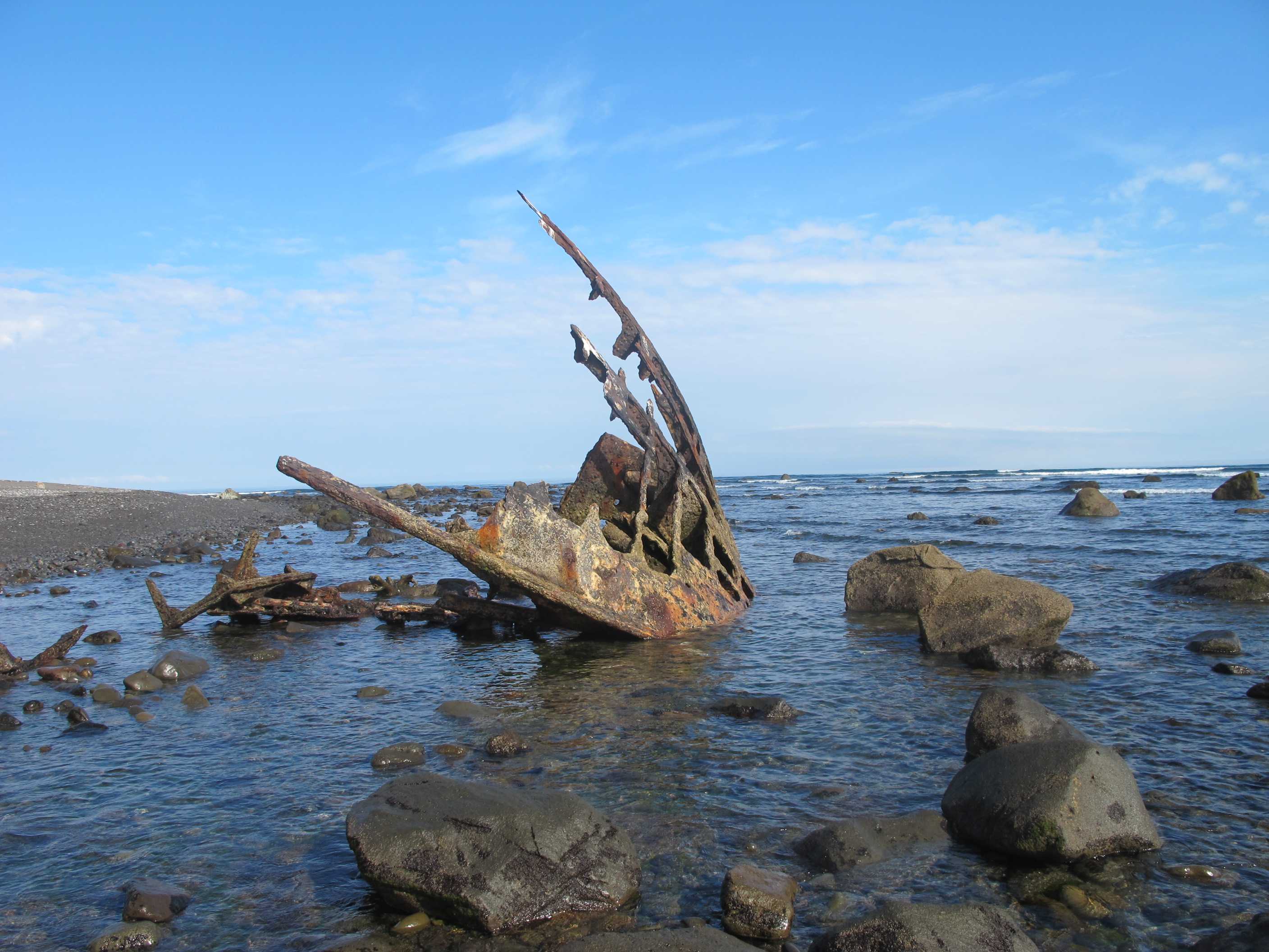
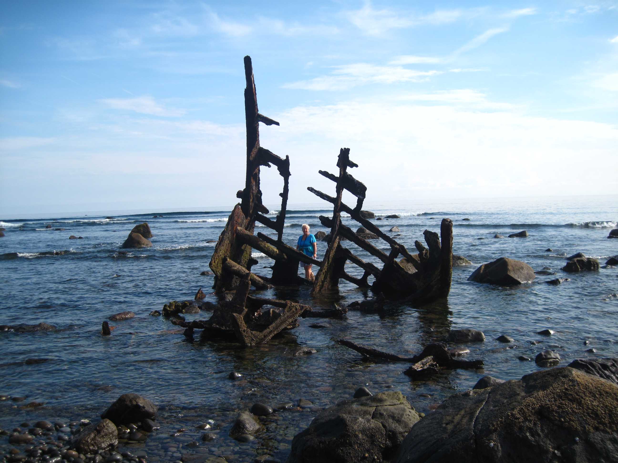
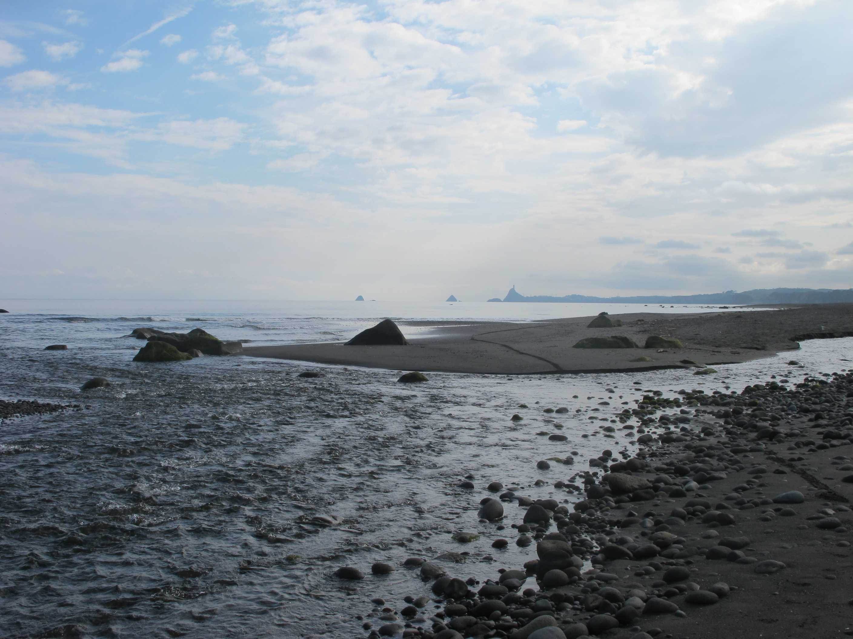
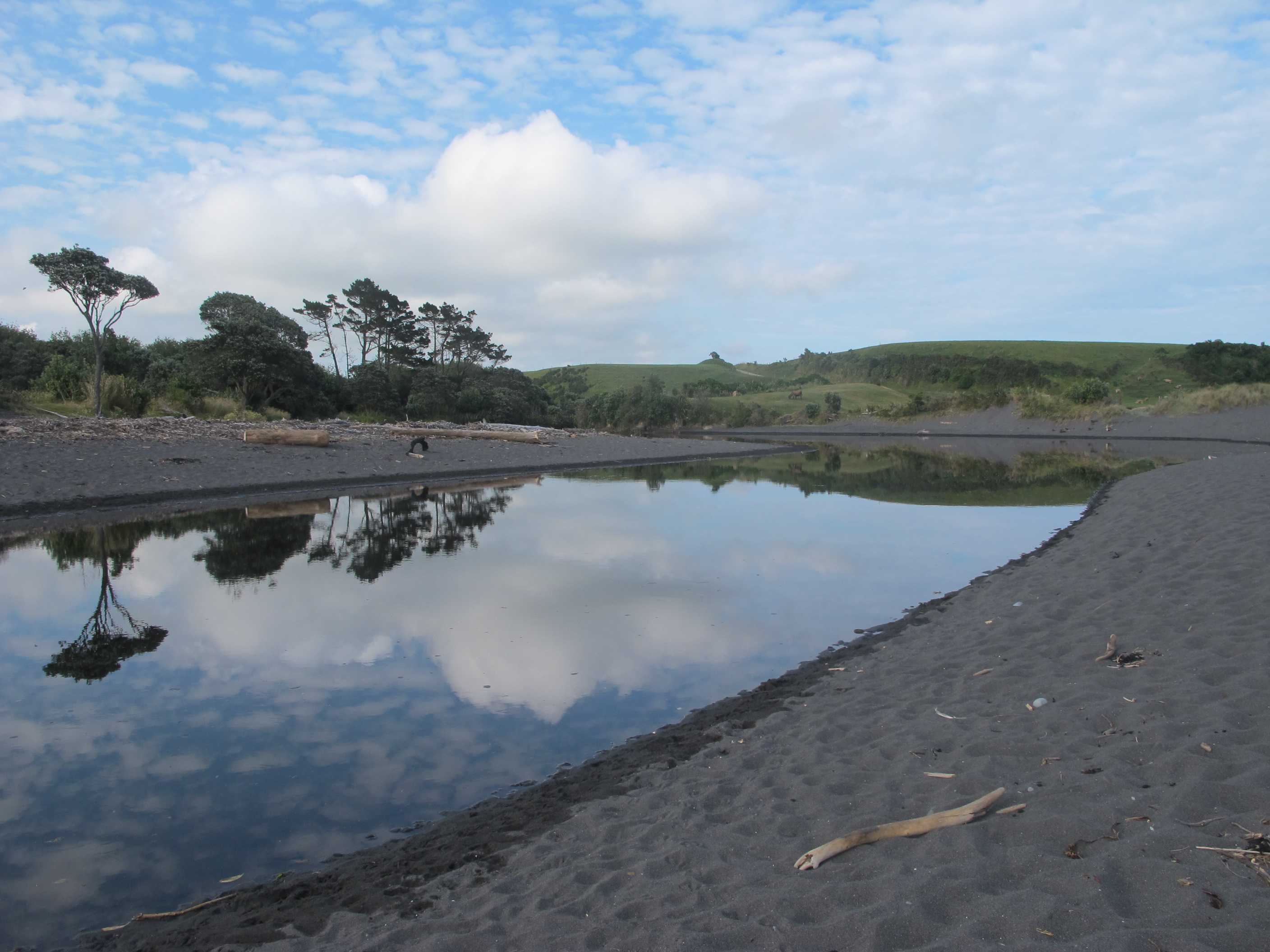
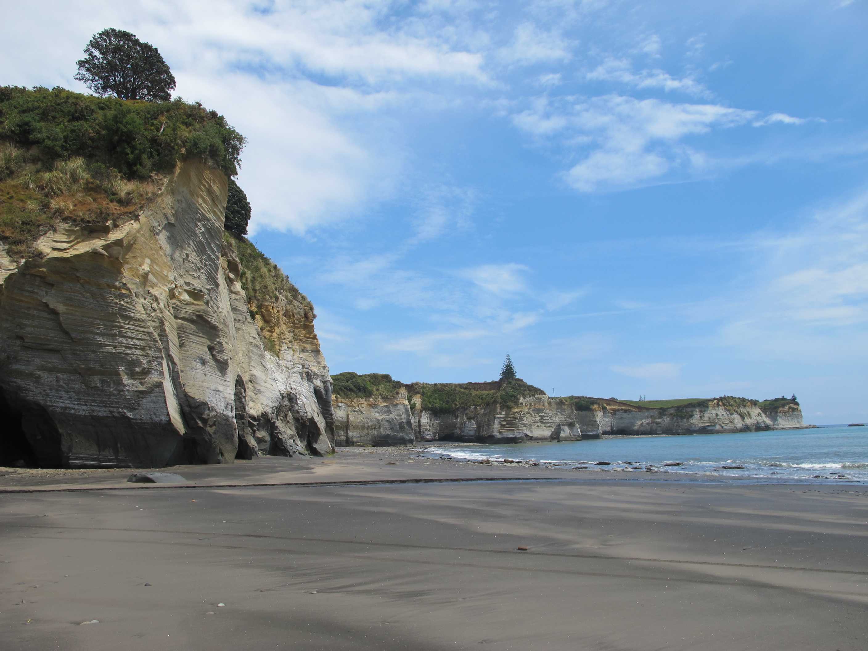

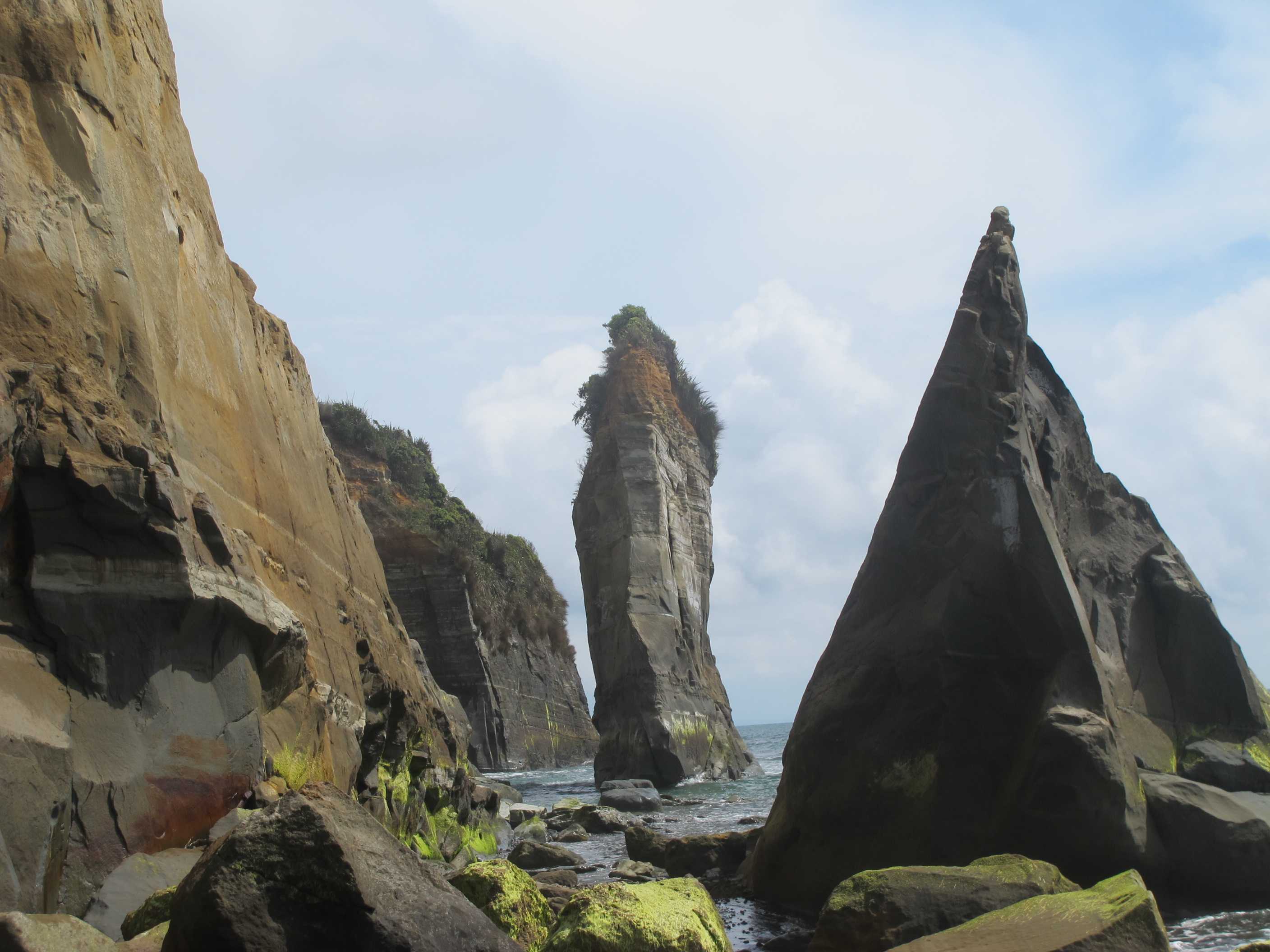
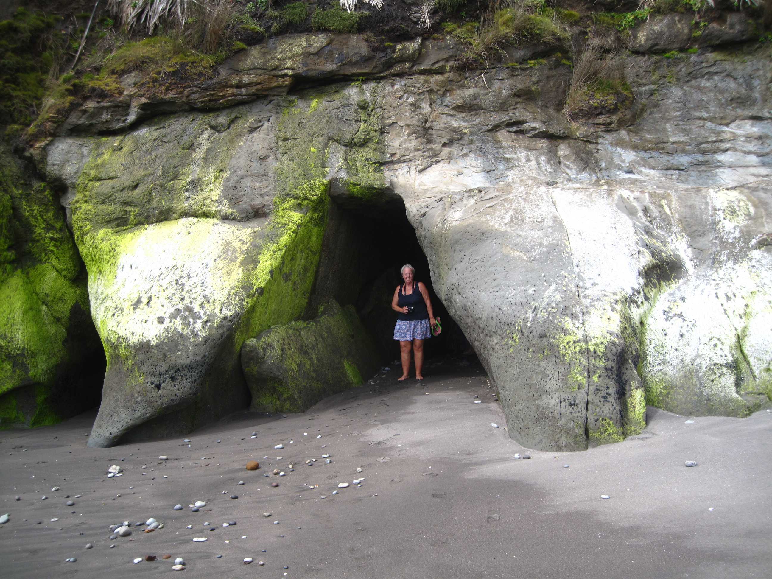
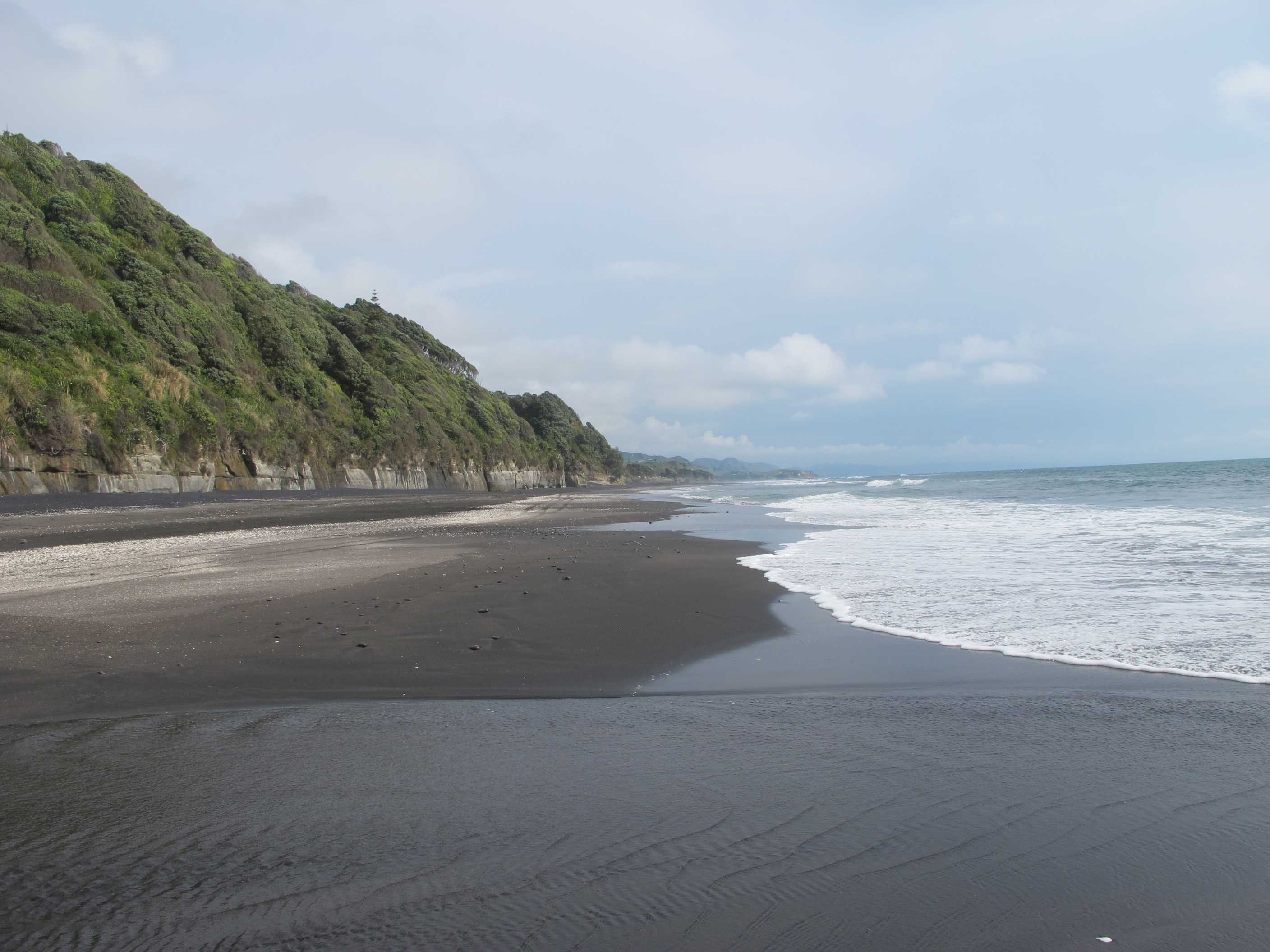
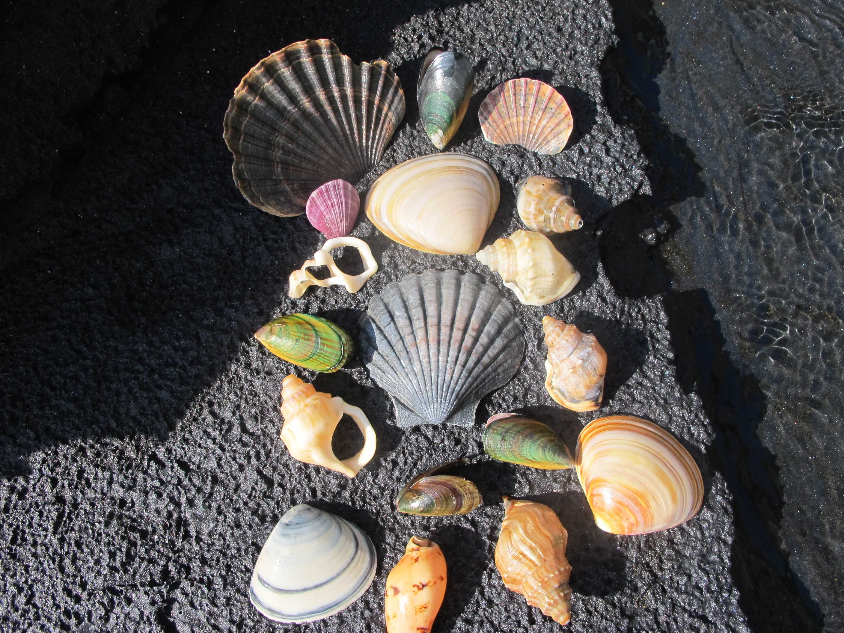
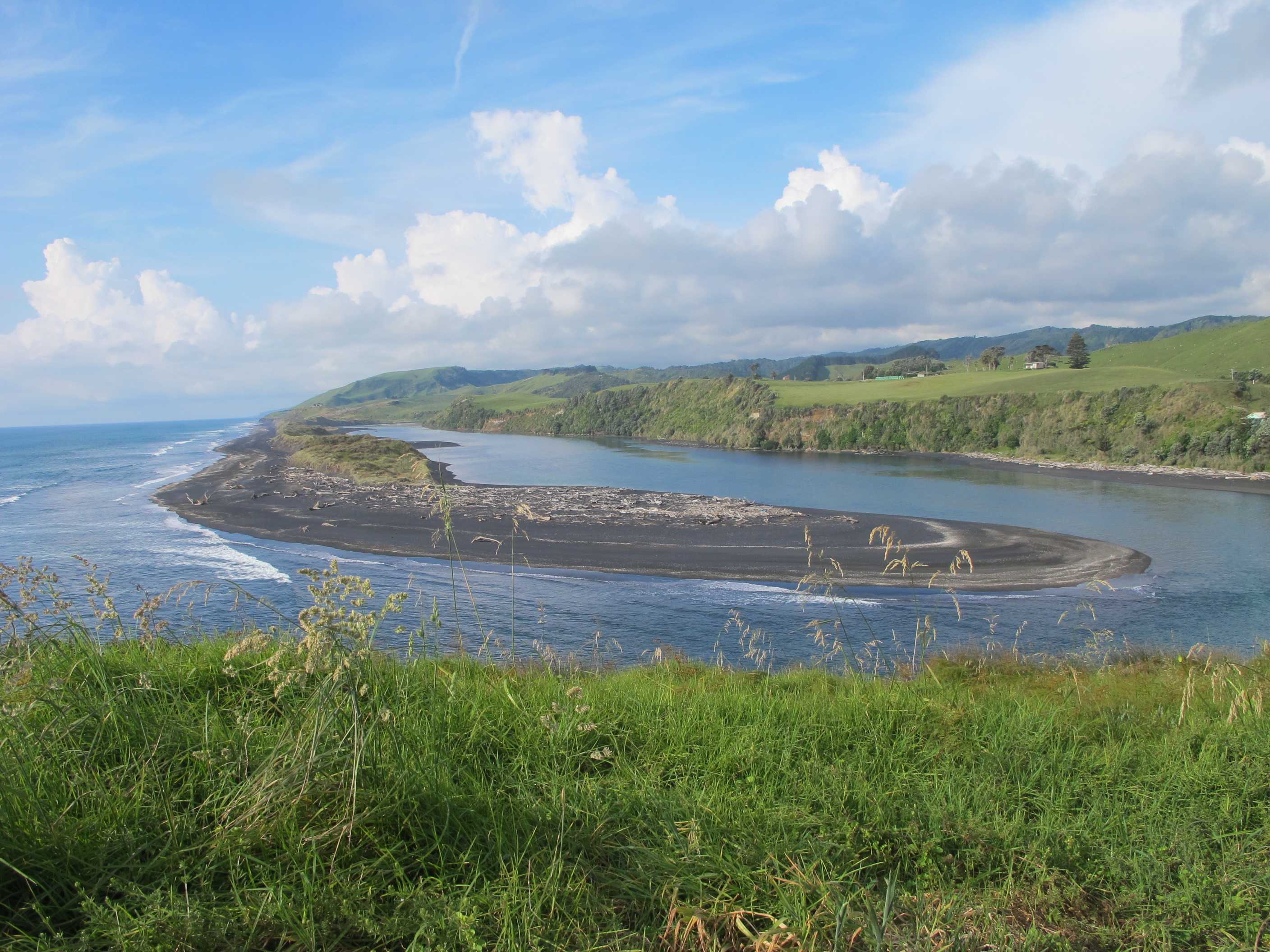
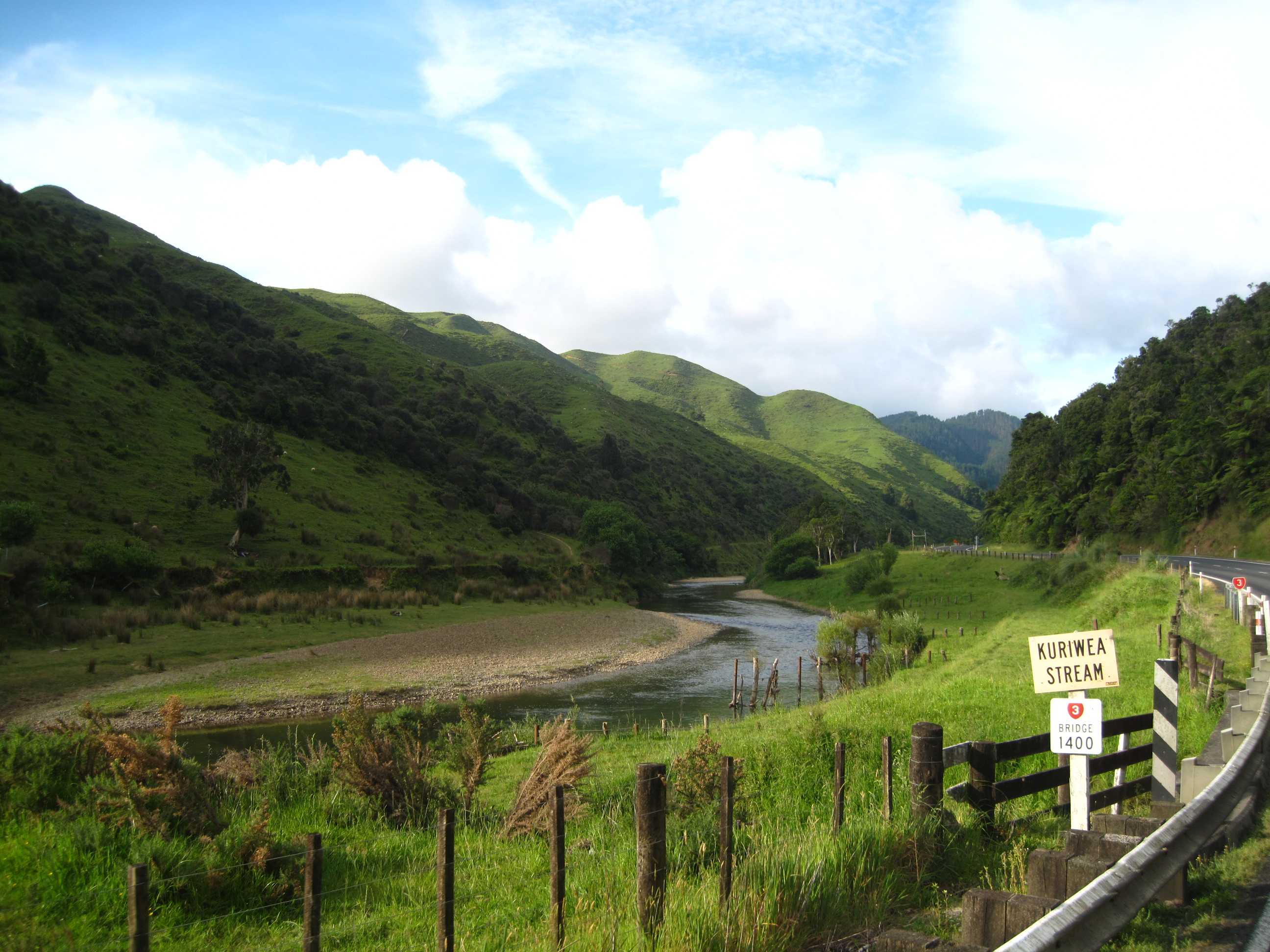
Woke up to clear skies and another view of Mount Taranaki. We have been so lucky again, as from this morning on she has hidden under clouds.
Off to our first stop, the Gairloch wreck. Lovely beach yet again. We had to wade across a small river, which was fun. We had a great walk and came across the wreck. There was only a portion to see but was amazing. As the tide was going out, I scrambled over the rocks/stones to see the other side, which was much nicer. Very photogenic. Also some large crabs scrabbling around.
Next on to New Plymouth. A very nice town, again very Art Deco in places and lots of street art on buildings. We did a little shopping in small stores including some lamb for a BBQ dinner! We then set off for white cliffs beach. Again very black sand, typical of this coastline. It was again, stunning. The cliffs were multi coloured and contrasted with the black sand. We came across a lovely waterfall, from the cliffs above, so, as no one was around, stripped off and had an impromptu shower! Wow, was it good! I went under first and Neil felt he could not miss out, so went under after! Both of us loved it and had a laugh!
Then we rushed off to Tongaparatu to see as much as we could before the tide came in and stopped us. We arrived in time to walk along the river onto the black beach. We saw caves and sea stacks. We saw arches which we managed to go through and a tunnel, which was amazing. Inside were some seriously weird protuberances! We then rushed round the corner to yet more stunning stacks and cliffs. Sadly, we then had to turn back before we got cut off! Tides can be really annoying!! Still a really great place to see.
Lastly we went to Awakino head. This was the blackest of beaches, with a river to the left, which caused amazing waves/ripples with the incoming tide. We walked a ways along and paddled a lot of the way. I have never seen so many and such amazing shells. It nearly killed me to leave them all behind. I did group some together though to photograph.
This we thought was a great end to the day and as it was 6 o'clock, time to find a nesst for the night. Unfortunately, we misread the map, and it was much too far to go. We decided to head towards Waitomo and find somewhere along the way. This was not to be. There was nowhere suitable, so I drove for nearly an hour and a half. We arrived in Waitomo and finally parked in a field, just hope this is OK and we don't get moved on at some ungodly hour and a party started up down the road an hour or so ago! As it was so late and poor Neil was suffering a lot with terrible hayfever, don't know what set him off so badly, we did not have lamb as planned! Shame! Hope he feels better tomorrow.
Got up to a clear view of Mt Taranaki, so more photos were called for. Then left after breakfast and carried on up the "Surf Highway" to our first stop, the wreck of the Gairloch, which ran aground on the Timaru reef in 1903. There is not a lot of the wreck left, but what there is is interesting. Sue waded all around it taking photos of the wreck and the crabs that have made it their home. Having had our daily fix of wrecks we went into New Plymouth, which is a nice place with some art deco style buildings. We did the last of our present buying here then went to the walkway that runs along the promenade. We first had to walk over the railway pedestrian crossing, before eating another snacky lunch, this time underneath the "wind wand" (Google it).
Then on to the White Cliffs just north of Urenui. We misjudged the time and arrived after low-tide instead of an hour or so before it, so we decided not to do the loop, as we probably wouldn't make it past the headland. Instead we had a pleasant walk north along the beach. We came to a small waterfall, that was more of a shower, so we both decided to have a shower, since there were no other people in sight. It was lively and cool (Neil says cold) and refreshing.
We then drove further north to Tongaparatu and the Three Sisters. These are limestone stacks that have been eroded away from the "mother" cliffs. There are arches here and a tunnel, Neil went through the arch, shin-deep in water, while Sue stayed bone-dry by going through the tunnel. The "sisters" are amazing, one of them has become an arch. They are exceedingly photogenic. It was a lovely beach and we could have spent all day there exploring. But again the tide cut short our walk and there was still a lot more to see, but what we did see was superb.
After this black sand beach we went to another black sand beach, Awakino Head. This really does have the blackest sand of all the beaches we have visited. Not only was it black, it was magnetic also! The beach had a slighly strange shape to it, probably due to the Akino River draining into the sea here. The sea came up a slight rise then dropped down behind causing a little stream of its own to flow. Also when it hit dry sand lots of bubbles would be emitted. The beach had loads of shells on it of all shapes and sizes, some of the colours just had to be seen to be believed. Not far along the beach we came to a small waterfall, but Neil announced that he has a limit on the number of showers he has per day and he had already exceeded his quota, so we just looked at it and of course photographed it from every possible angle.
We then drove along the main road that follows the Awakino river, on our way to Waitomo. We had hoped to go to some other beaches, but it was a 25 km drive one-way along a gravel track and we really didn't feel up to it. Sue was doing all the driving as Neil's hay-fever was playing him up something awful. We hoped that we'd find somewhere to park before reaching Waitomo, but no such luck, apart from a picnic area a metre or so from the main road. We looked around waitomo itself, and although it does sport a TOP10 park we decided against it and parked up in an area next to the rugby field. Not sure how "legal" this is but there are no signs saying not to park. We aren't disturbing anyone and should be gone early tomorrow morning. Whoops! Less bleary eyed this morning - just seen the "No Camping" sign, so don't you camp here..
night |
kms |
Overnight Stay at |
Cost/night |
Facilities |
Wow Factor |
Photos |
|---|---|---|---|---|---|---|
| 39 | 170 | NESST NH1 - Ruapuke (Freedom Camping) | 0 | 5 |
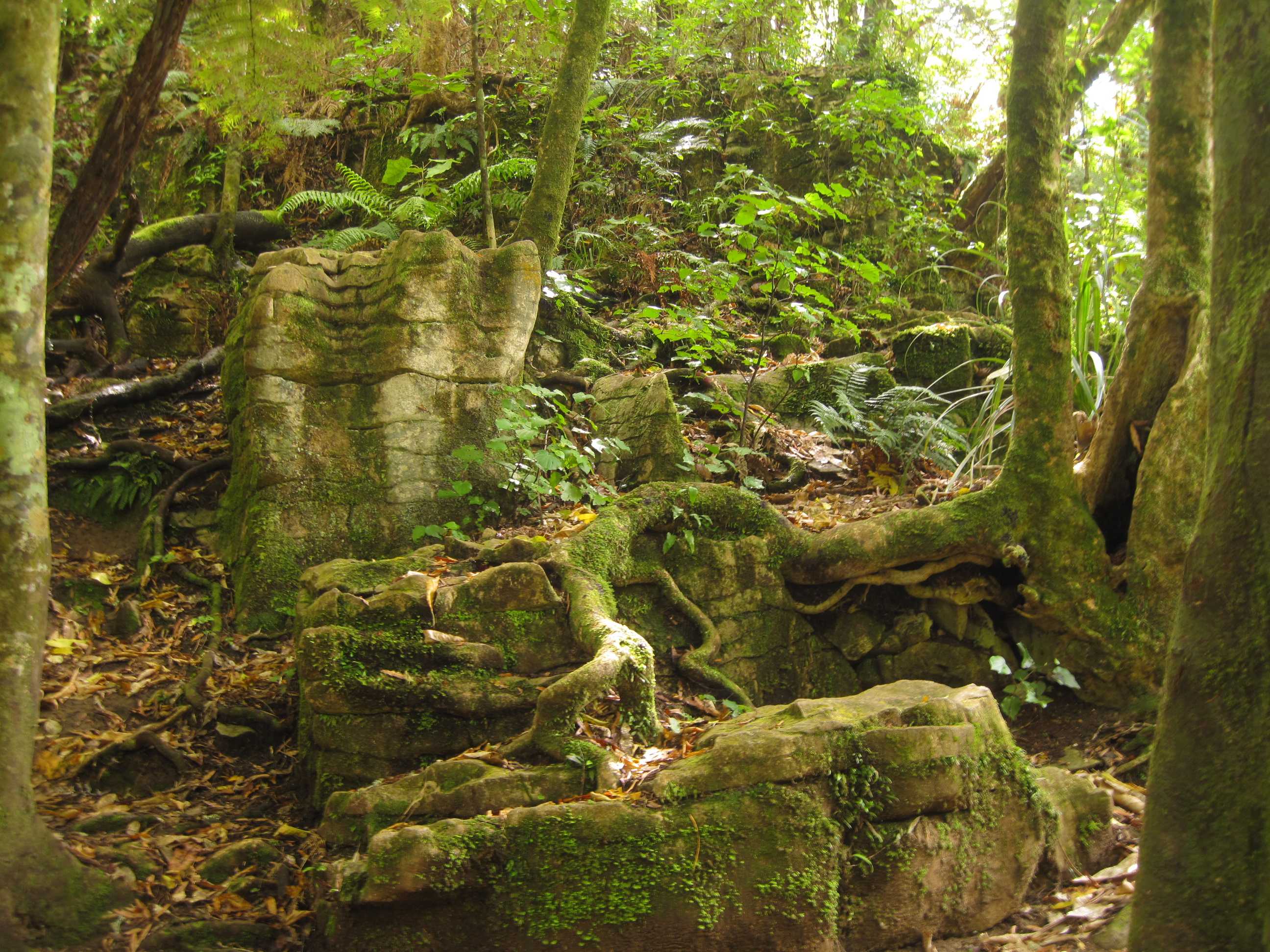
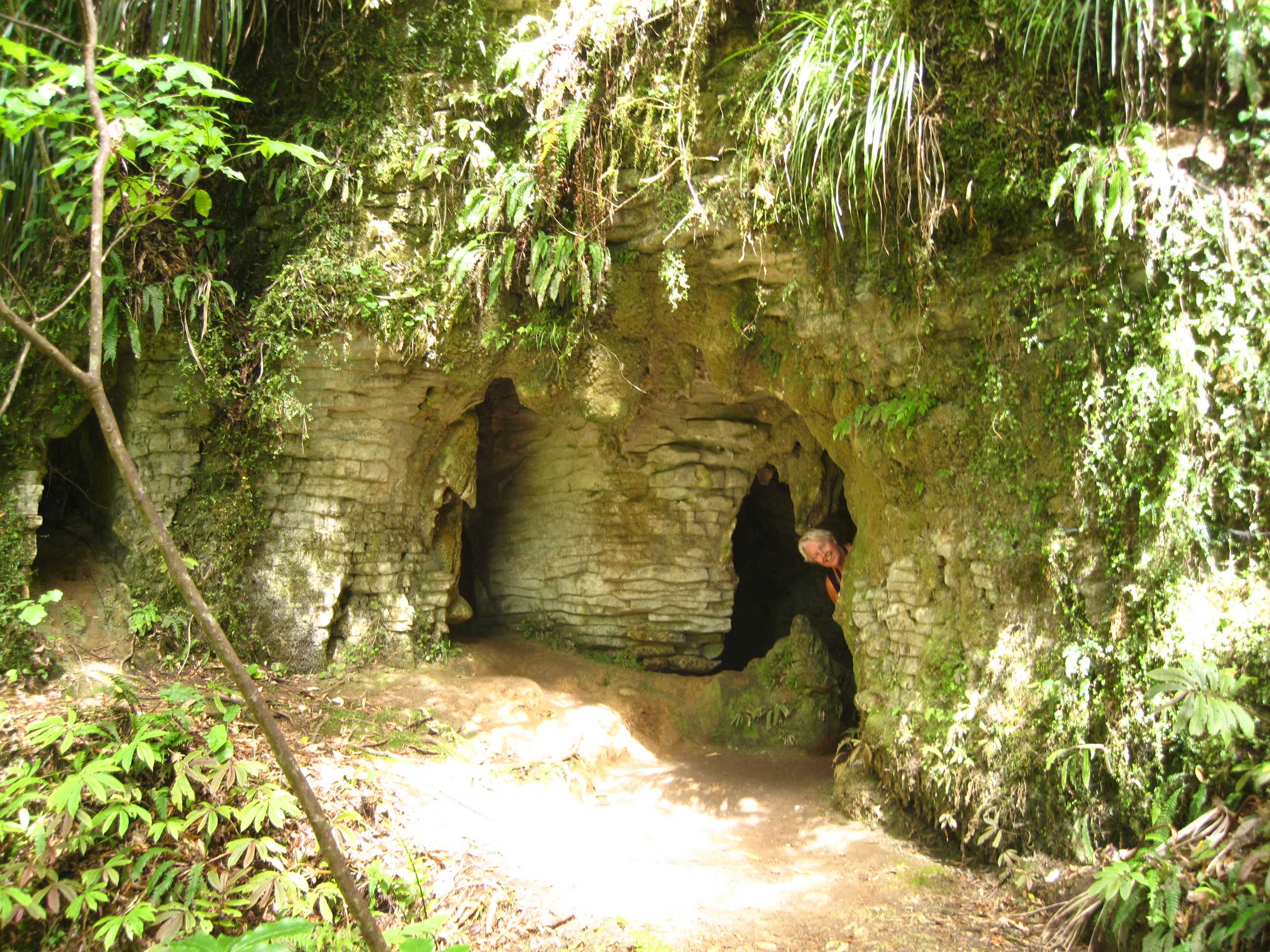
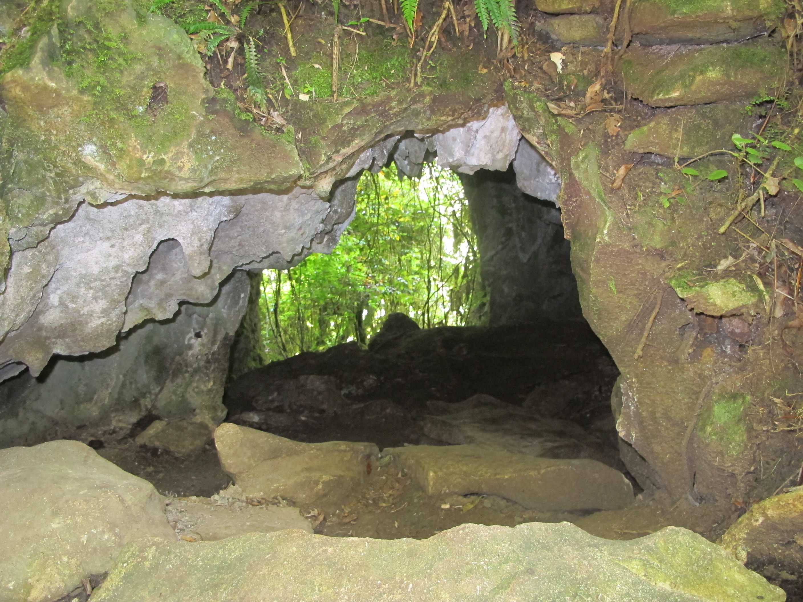
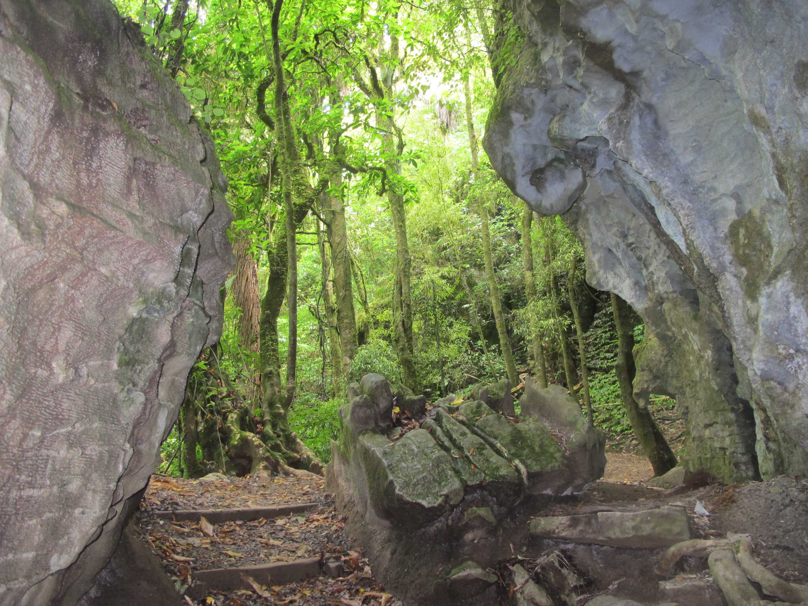
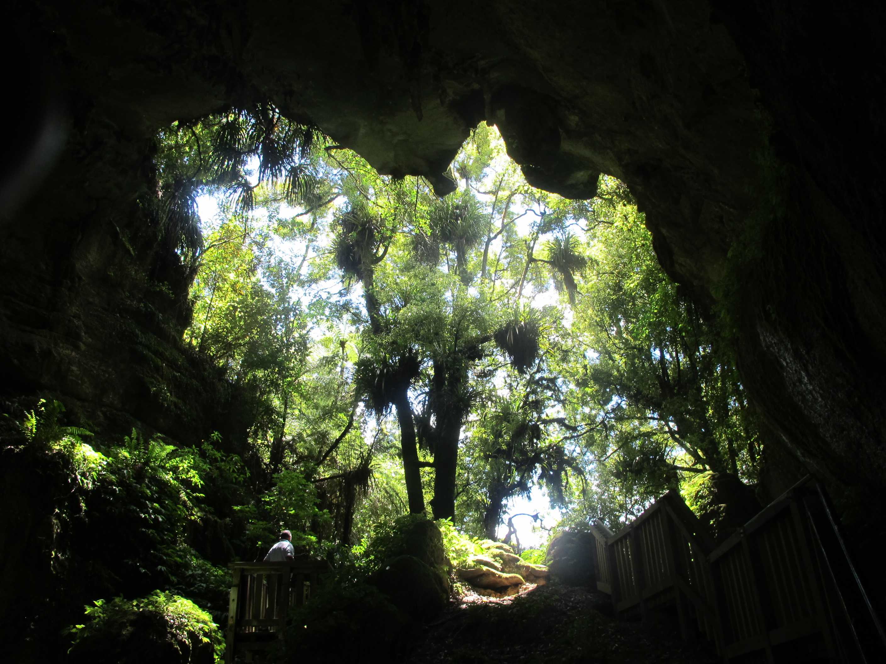
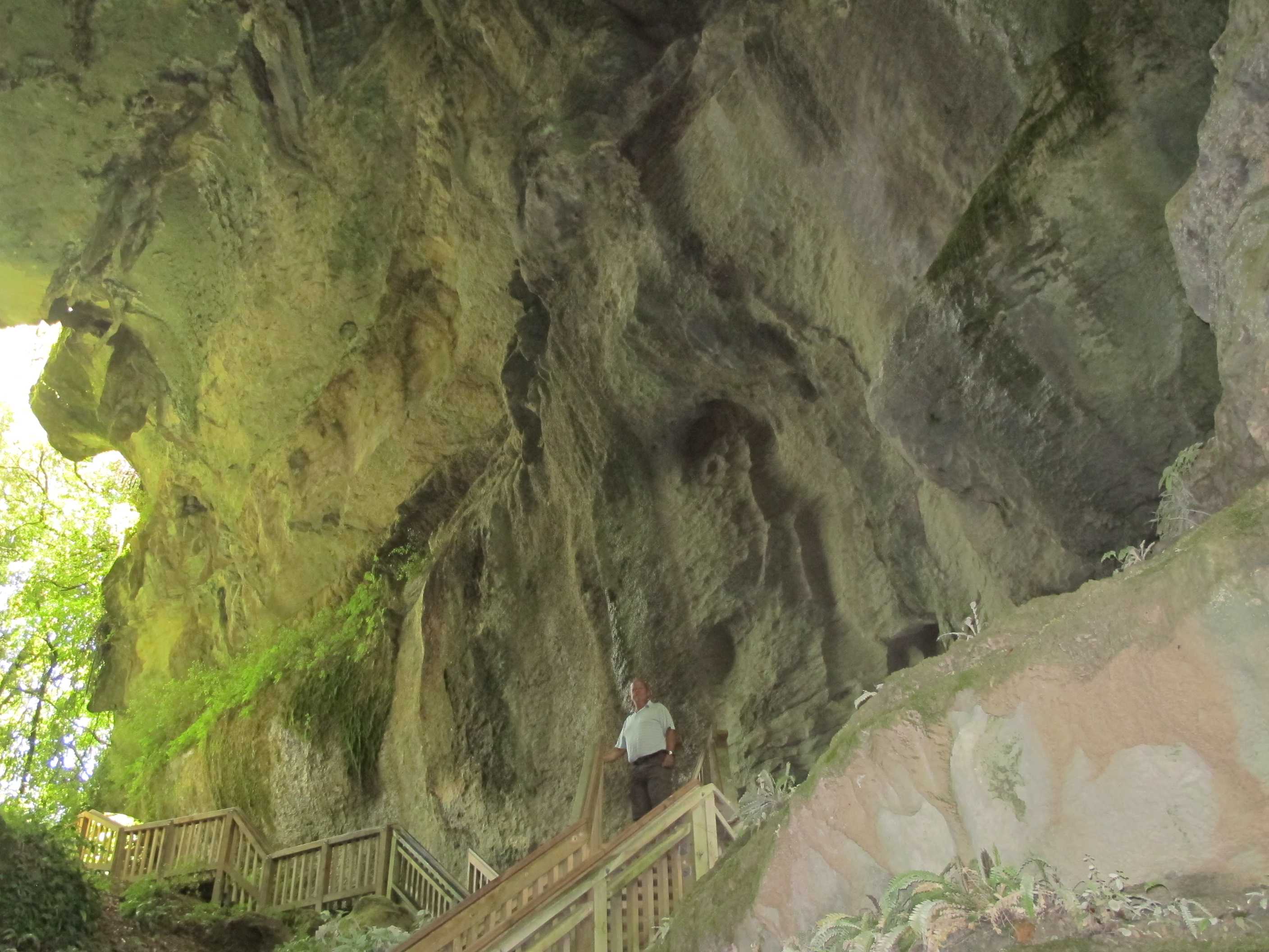
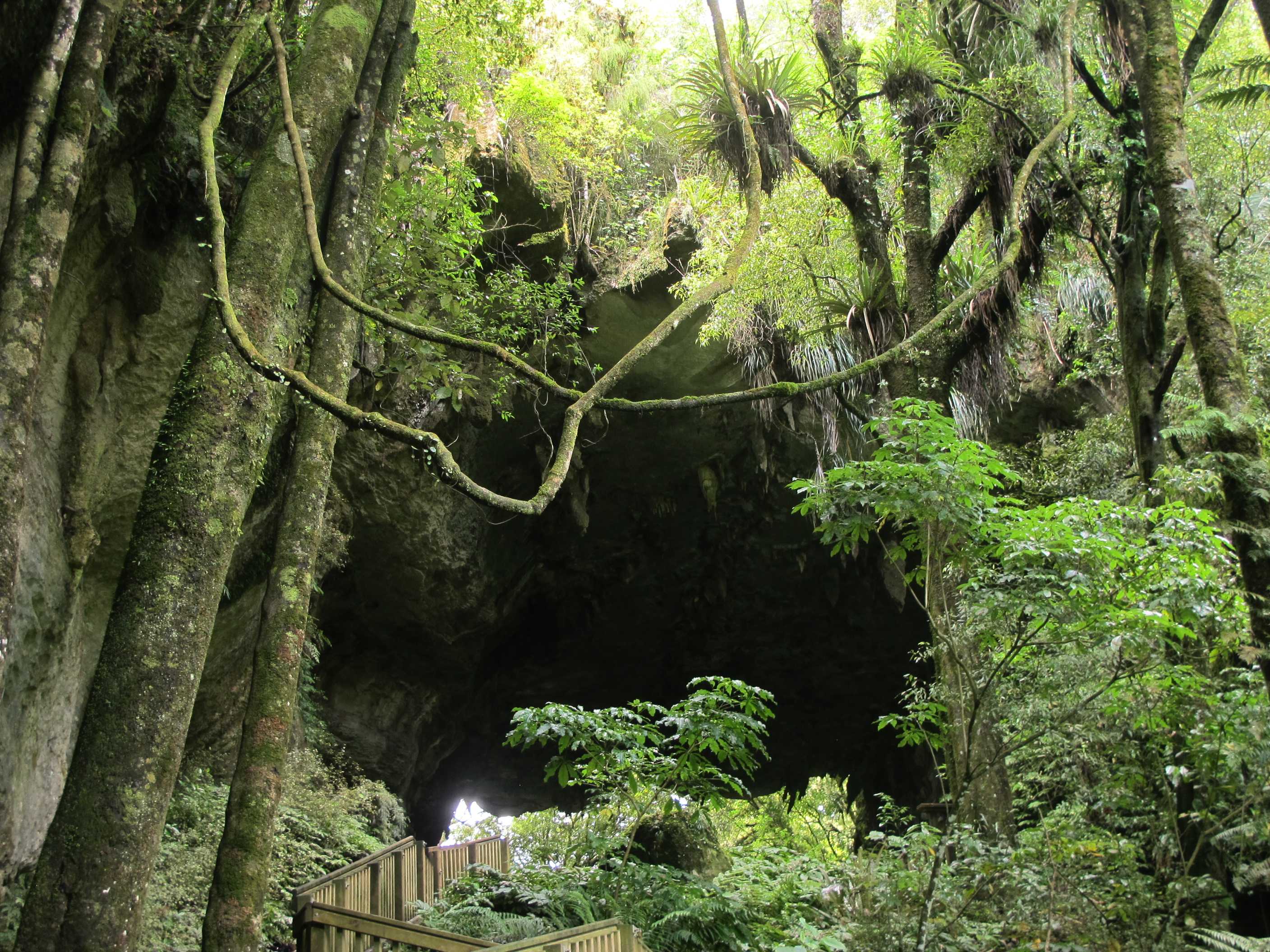
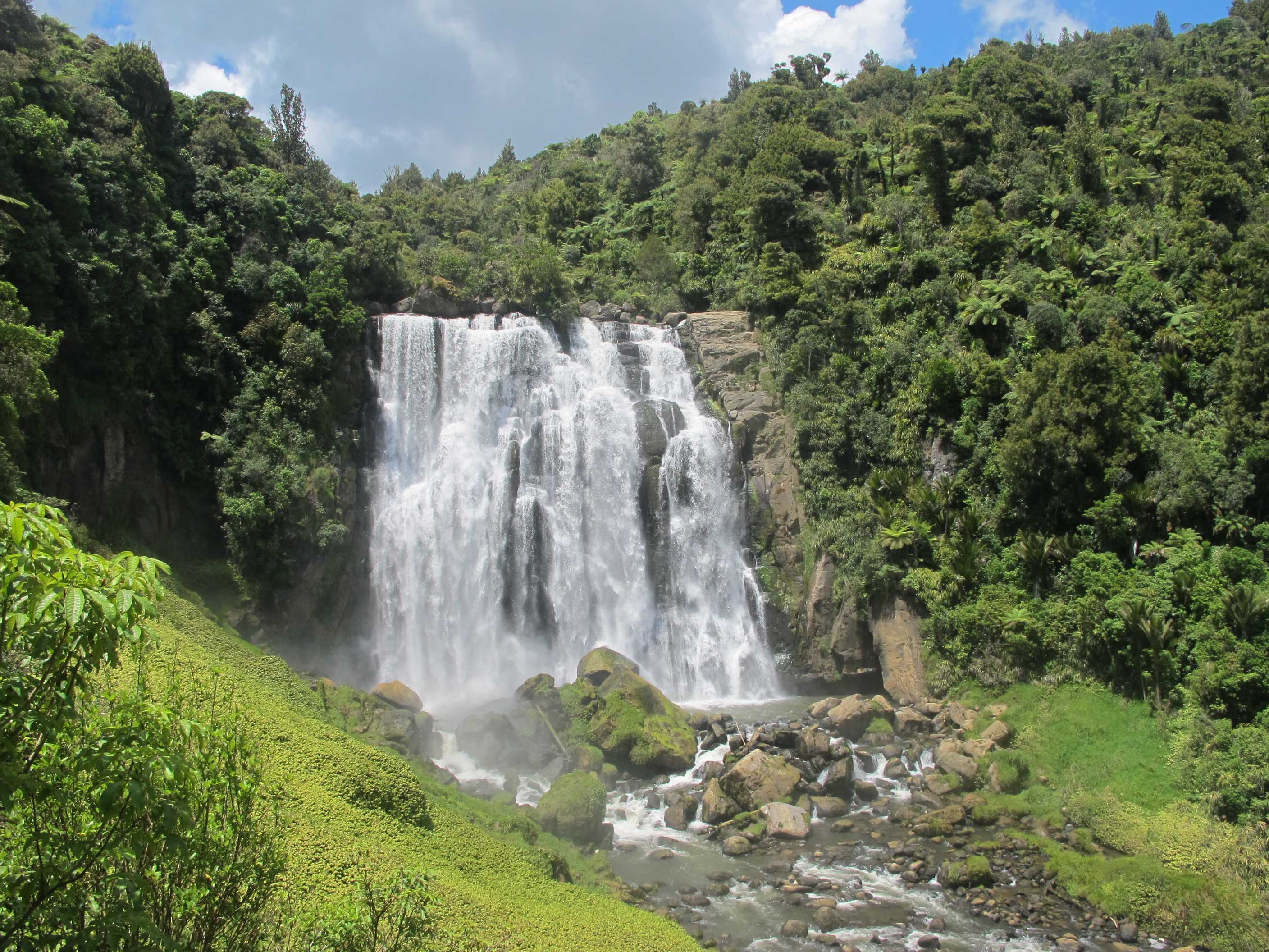
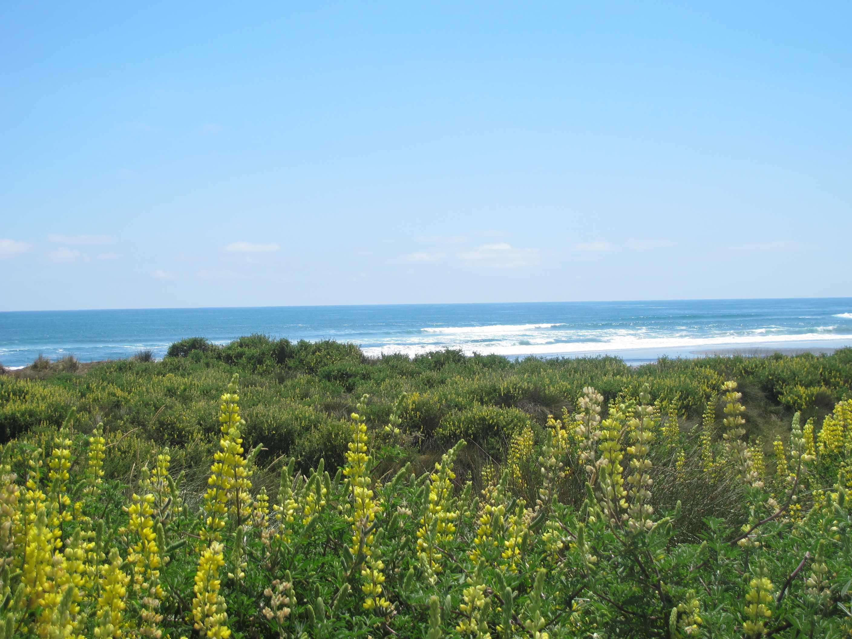
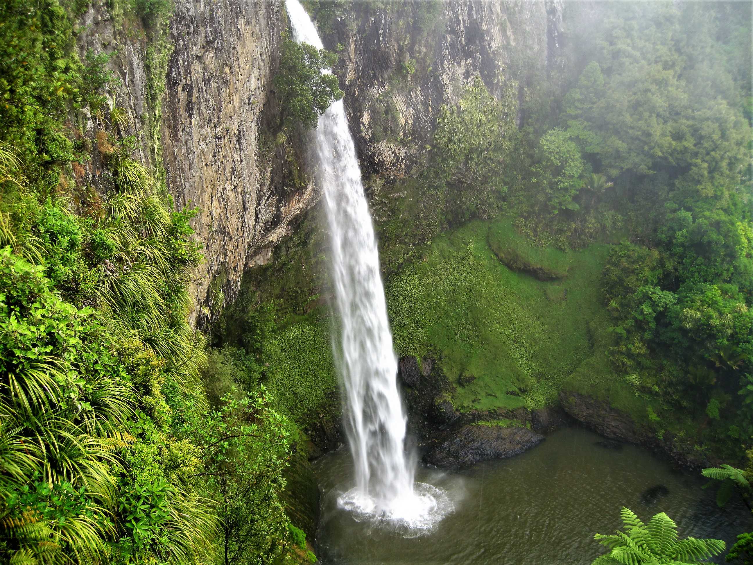
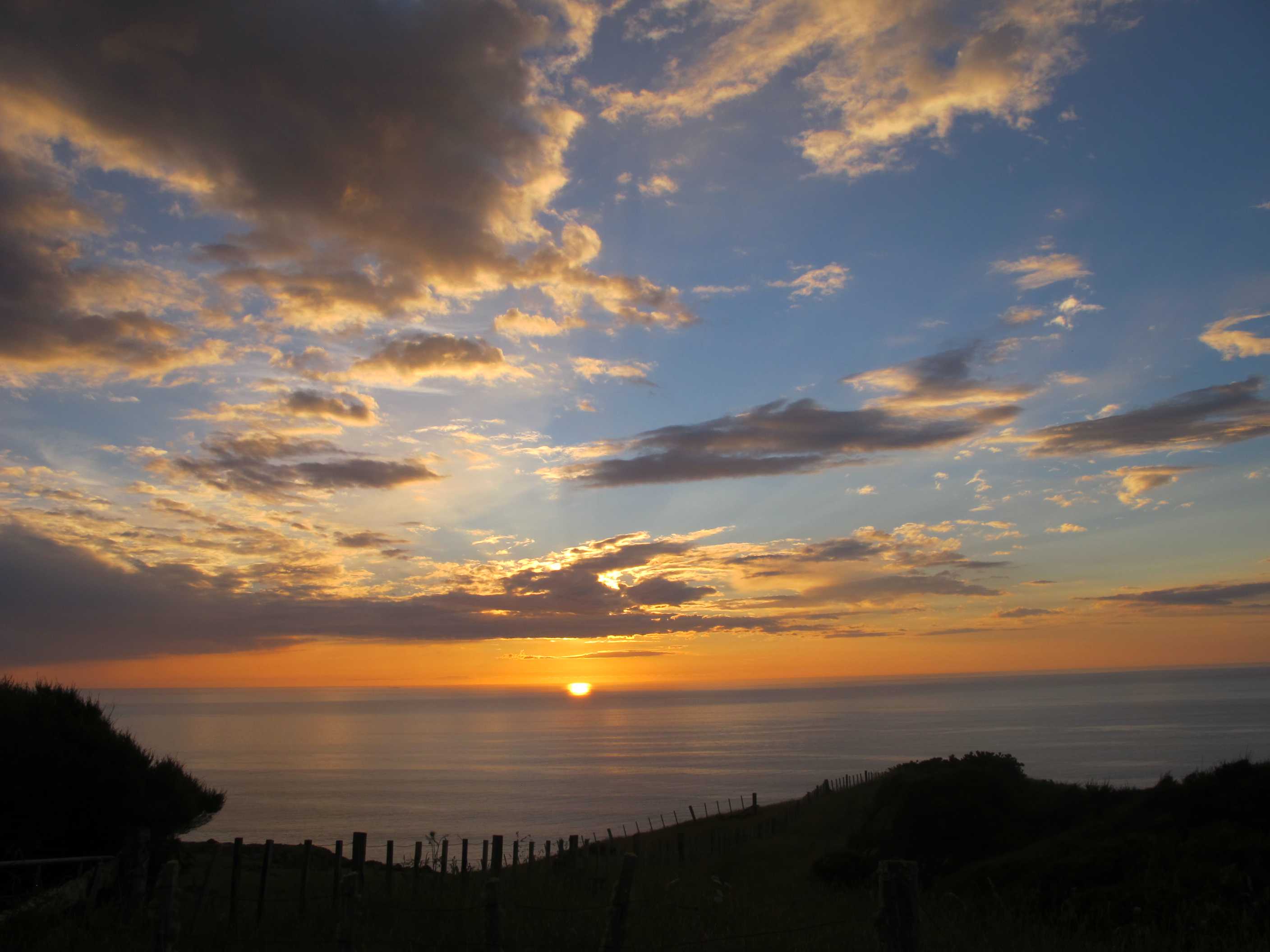
Got up and dressed early as was not sure we should have parked where we did. Luckily we did so as there was a sign we did not see night before saying no camping! We then spent quite a lot of time sorting out our last week. We decided to see the last of the west coast today, then on to Auckland, east coast for 2 nights. Then 3 nights on Waiheke island. Easy you would think, but finding and booking somewhere to camp on the island was not easy and we only accomplished it with the help of a lovely lady in the i-Site office. We are all sorted now just have to book the ferry when we have phone connection next. Really looking forward to relaxing, taking it easy and trying some wineries!!
Well today was great, after a late start we made it to the scenic road to the coast. We first went to Ruakuri tunnels walk. This was amazing. A lovely walk through the forest, then encountering caves and tunnels. Quite an adventure. We then moved on to what they signed as a 'natural' bridge. Well after a short walk along the river gorge we turned a corner and could not believe what we were seeing! The biggest, bridge/arch you can imagine. A cave like roof and two arches one on top of the other. We did not know how to photograph it, as it was so huge. Will never forget the sight!
Then on to a cave. We climbed lots of steps till we came to the entrance. We went down inside, it was huge and dark and very interesting, luckily we brought the torch. We then went on to some falls, and what falls, one of the best all holiday. Quite a lot to see and to do in a short distance.
We then drove to a beach, which proved a bit of a wrong move, So we had a quick lunch and moved on. We have been driving windy narrow roads, most unsealed for quite some time. We did not fully appreciate what the scenic road entailed! It has been stunning though.
Just arrived at yet another waterfall. It is now pouring with rain with thunder and lightening! I opted to stay in the van with a cup of tea, whilst Neil, occasionally made of hardier stuff, set off in rain coat with the umbrella! Or one could say, just a little silly! Anyway, sat here writing this imagining him arriving back soaked and muddy! He arrived back, not too wet as trees kept him dry. He said it was a great waterfall but loads of steps to climb! So all in all I think my cup of tea was a better option. This was the first time in our whole time in NZ that it rained while we were trying to do something. We previously encountered some rain whilst driving and the worst wind and rain at night. We have been so very lucky.
We then set off again to find our nesst for the night. Started off fine, road was quite good, then it went to gravel. It was very narrow and windy and seemed to go on for ever. It was hard work for Neil to drive. Also for me as a nervous passenger, with long sheer drops, mostly on my side! Finally we found the place only to see another van there before us! It was touted as for one van only! We thought it looked like there was enough room for 2, so I got out to ask if they minded us parking up next to them. If they had said "no" I probably would have said sorry but we were going to anyway, so probably good thing they said "yes". In fact it was quite funny, it was a couple who we had met several times during the day at various places as they were doing the same route as us. We proceeded to have a good chat over a glass or two, watching the best sunset of the trip! Very enjoyable, dinner was quite late but never mind, lovely evening!
Got up very early and moved across the road to the car park next to the i-Site visitor centre. This had a 24-hour toilet that was much appreciated. Spent some time doing odd jobs waiting for the i-Site to open. When it did we met the manager, Sharon Church, and started chatting about Waiheke Island just east of Auckland where we want to spend a few days before catching the flight back to Cyprus. Sharon was extremely helpful, checking with her opposite number in Auckland to see about camp sites for the motorhome. In all she spent well over half an hour phoning round and checking information on the Internet. By coincidence her brother lives on the island. Eventually Sharon managed to book us into a D.O.C. campsite for the three nights. She also gave us some information on the ferry across from Half Moon Bay. The i-Site Centres are very helpful, but sharon gave us outstanding service! Neil had a look round the small museum that is in the centre and which has some interesting exhibits. He was surprised to see that an extension of the museum was opened by Dr. David Bellamy, someone who was at Durham University nearly 50 years ago when Neil was studying there.
We then went a few miles down the road to the Ruakuri Tunnels. The site is very well organised in a figure-of-eight loop. You pass through small tunnels and larger ones and the walk itself is very interesting. From here we went to the Mangapohue natural bridge. This just blows you away when you see it. It is enormous. Neil spent minutes watching individual droplets, caught in the sunlight, drop from the underside of the bridge many tens of metres above him, as they ever so slowly it seemed fell to land on the ground inches in front of him. He was transfixed, till Sue dragged him away. The photos above do not do it justice, but it is difficult to get the whole of the system in the photo and retain some sense of scale.
Further down the road we stopped to see the Piripiri caves, which were interesting, then on to the Marokopa Falls. These are lovely and had a lot of water flowing over them when we were there. We kept seeing the same people at most of the sights as they were making their way along the Te Anga road like us and visiting the sights along it. We lost all of them when we went to our next destination which was Taharoa beach. This is next to a large mine that is extracting the black iron sand. Our satnav went a bit screwy but we got there in the end. But we were a bit wary of getting close to the beach as the sand was quite soft and deep and we didn't want to get bogged down, so we had a sandwich lunch just overlooking the beach instead.
Then it was on to Bridal Veil Falls. When we arrived it was raining, thundering and lightening. Sue didn't fancy the 15-minute walk in this weather so she stayed in the motorhome and brewed a nice mug of tea while Neil braved the elements. Was he pleased that he did! The trees kept most of the rain off him and when he arrived at the overlook right at the top of the falls and saw the water cascading next to him to fall 55 metres into a 5 metres deep pool at the bottom he wes overawed.There was a viewpoint midway down the falls (135 steps) and another at the bottom (245 steps) so he stopped at the mid-viewing area and took some more photos. Then it was back to Nessie for a nice mug of tea and a cake.
We decided on a "Wildernesst" for our nightly stopover. Unfortunately this entailed a long drive on a gravel road with some steep reverse cambers and some hair-raising bends. This "nesst" only has room for 1 motorhome and guess what? When after driving for 45 minutes on this road from hell we arrived at the spot there was another Wilderness motorhome camped there. Neil saw that there was in fact space for two (a bit cosy though) so Sue got out to talk to the other couple to see if they'd mind. It was in fact Julie and Ross, who we'd seen at several of the sights prviously and they didn't mind. In fact Julie was relieved to have another couple camping next door for the night. We had a good chat over a gin/wine - they are Australians here for 10 days and then go to Queenstown for a 5-day golfing tournament. We saw the most magnificent sunset over the Tasman Sea and are hoping to get up early to try to get off the gravel road before the local rally drivers set out for work in Raglan!
night |
kms |
Overnight Stay at |
Cost/night |
Facilities |
Wow Factor |
Photos |
|---|---|---|---|---|---|---|
| 40 | 189 | TOP10 - Orere Point | $45 | 3 | 3 |
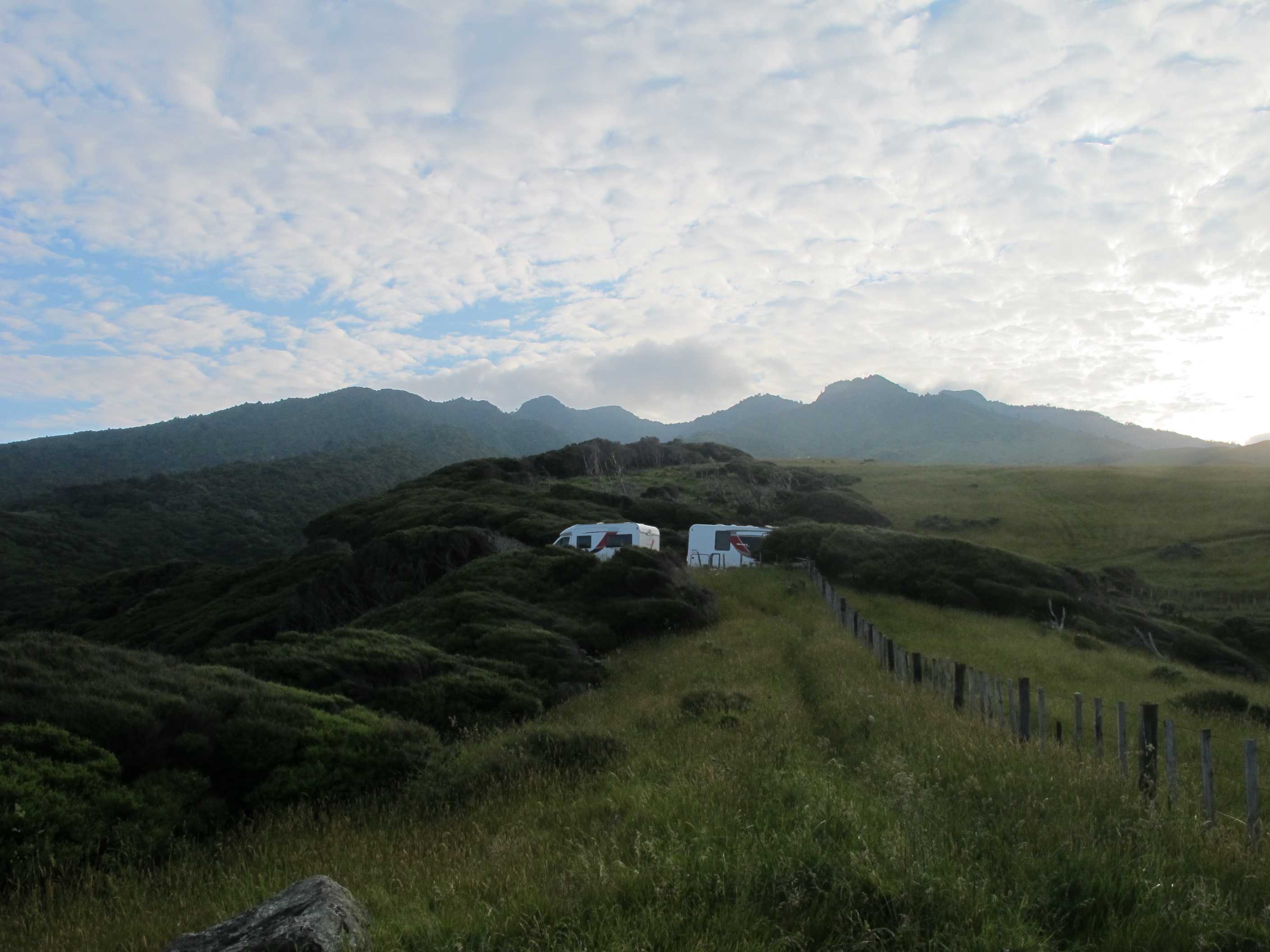
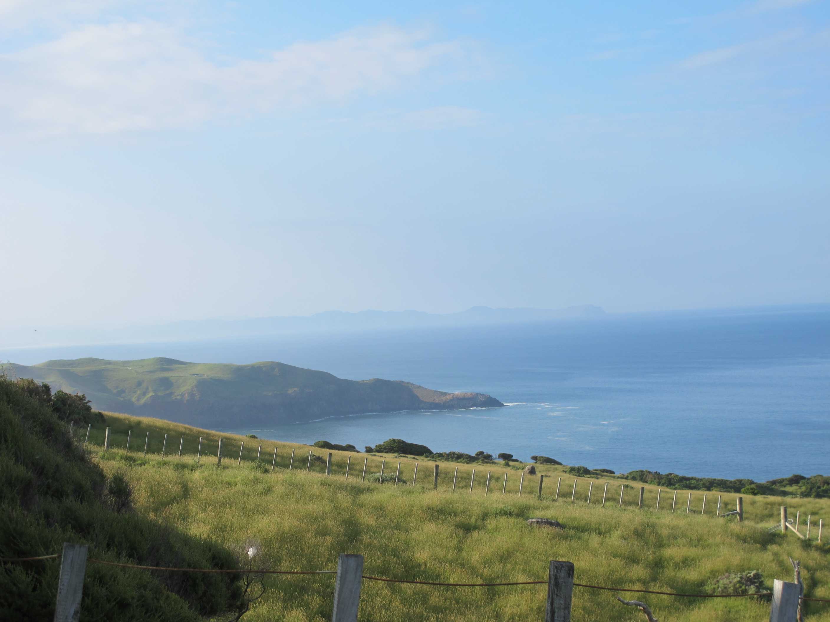
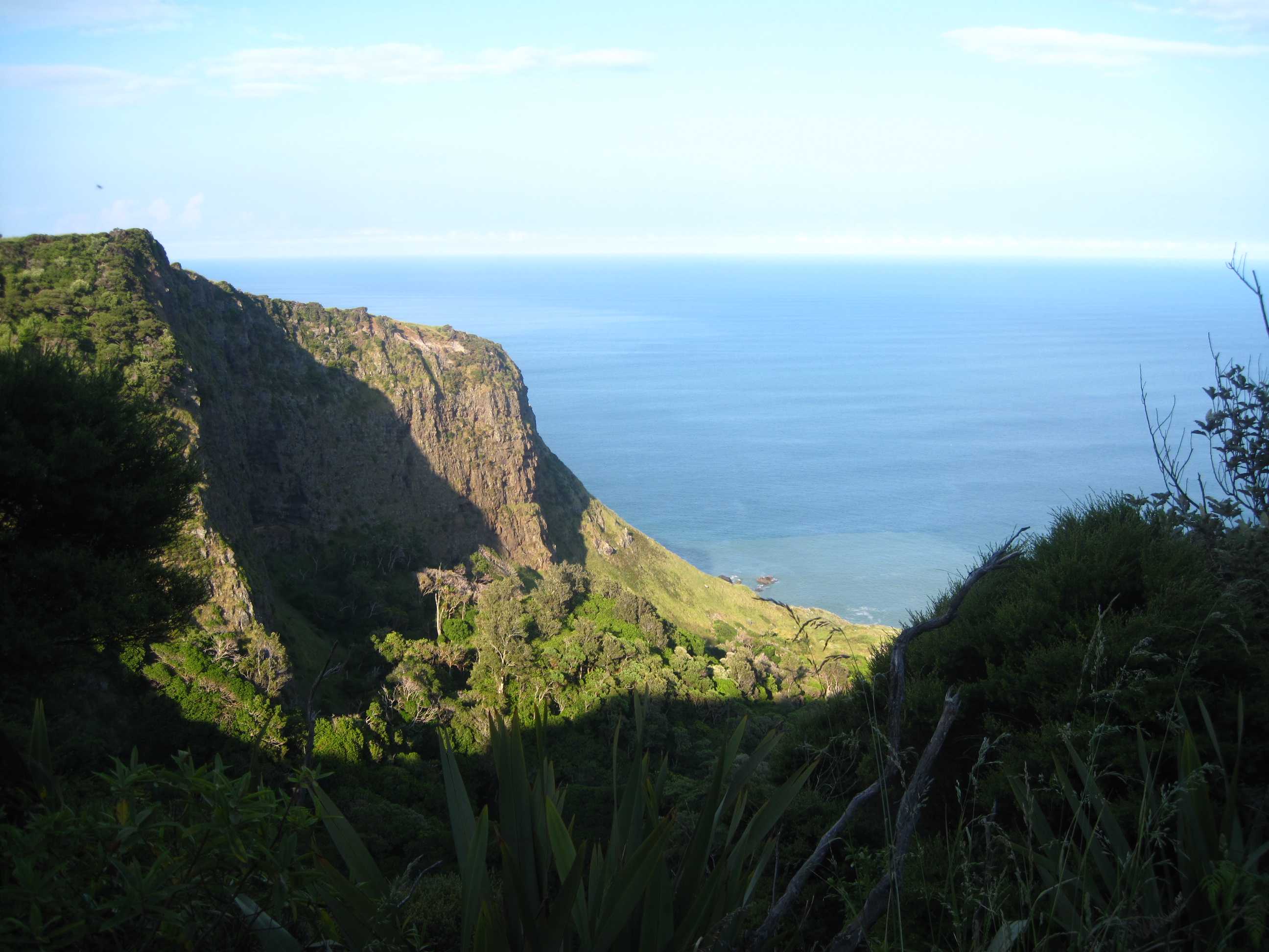
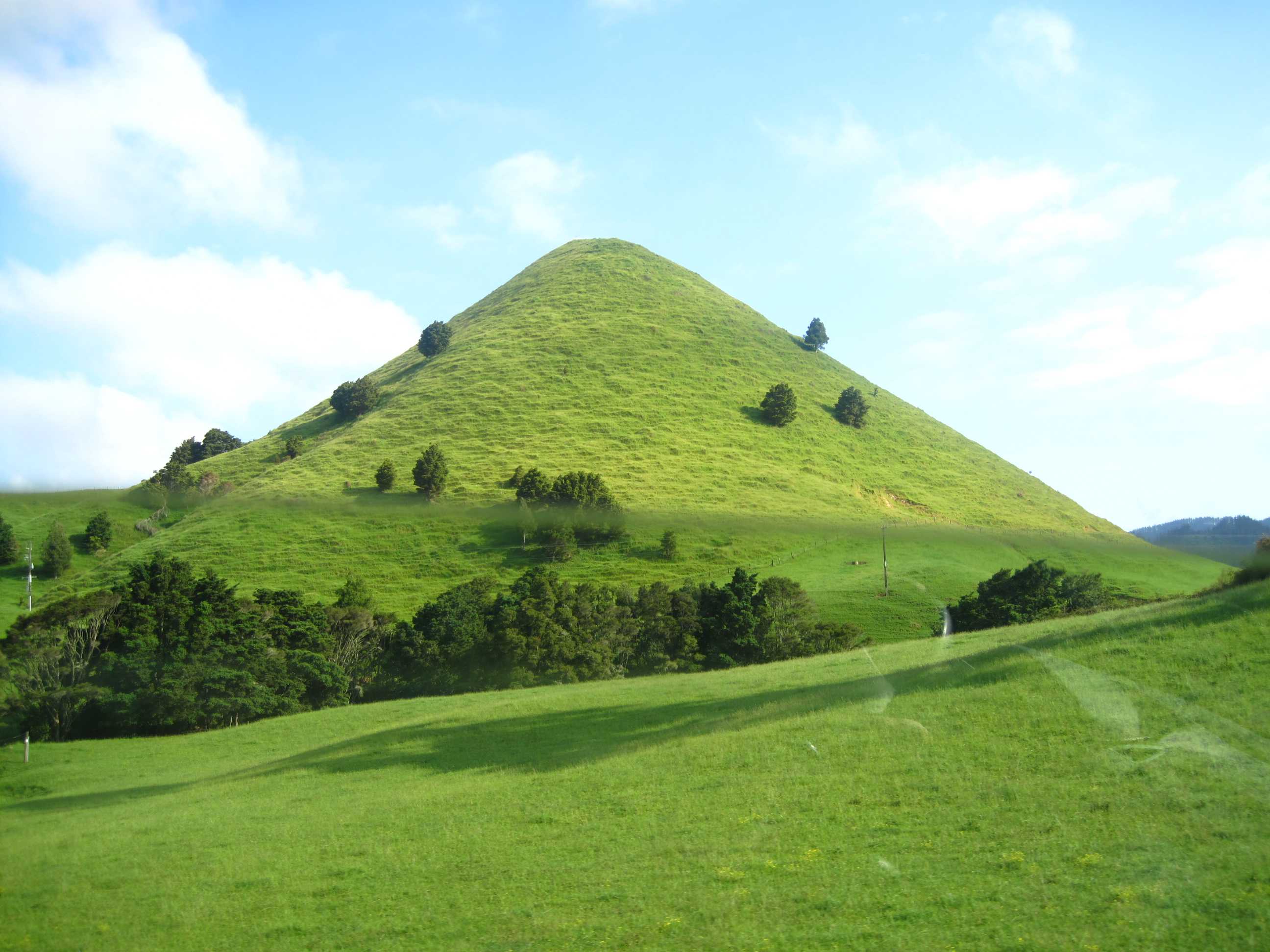
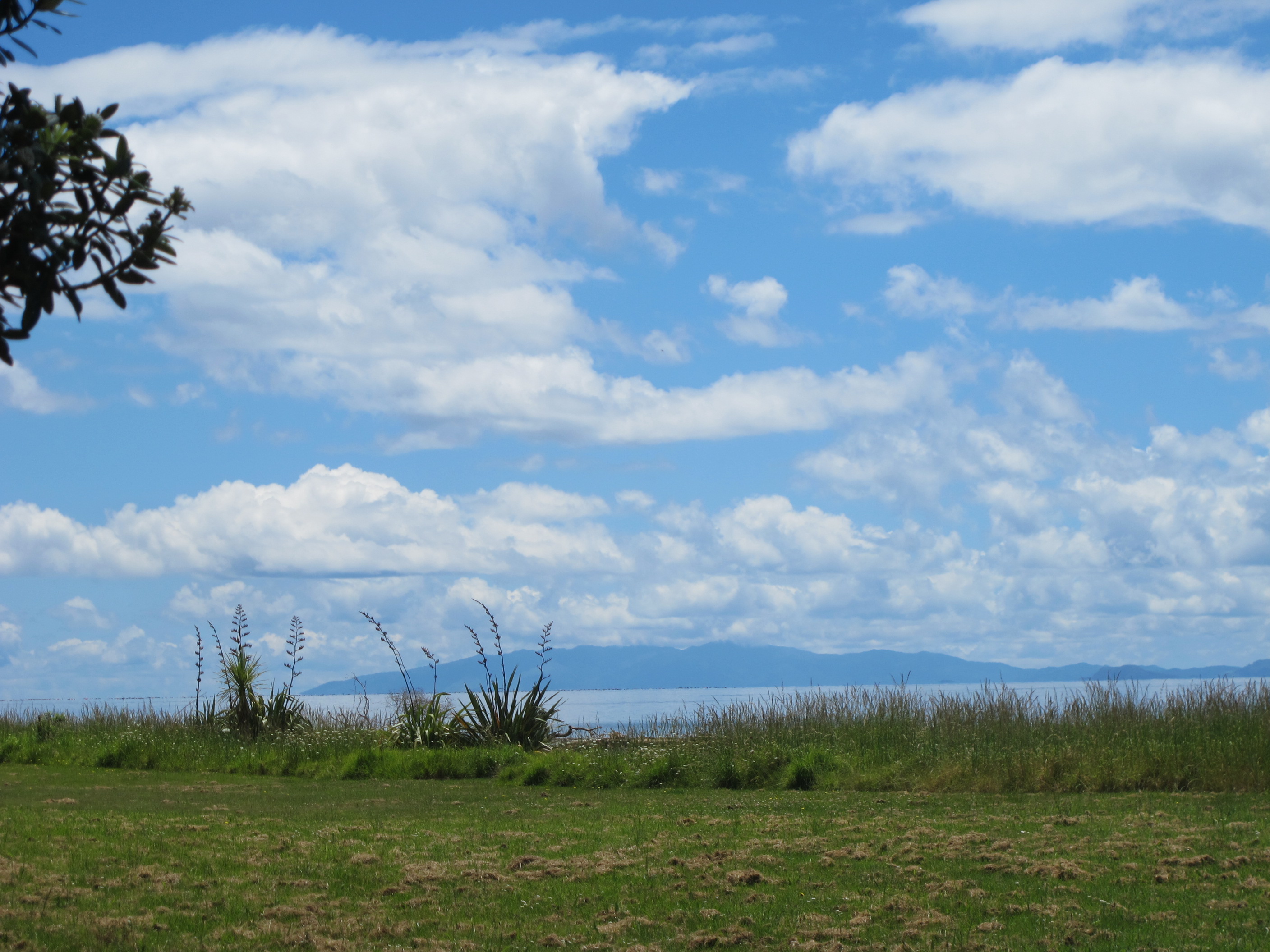
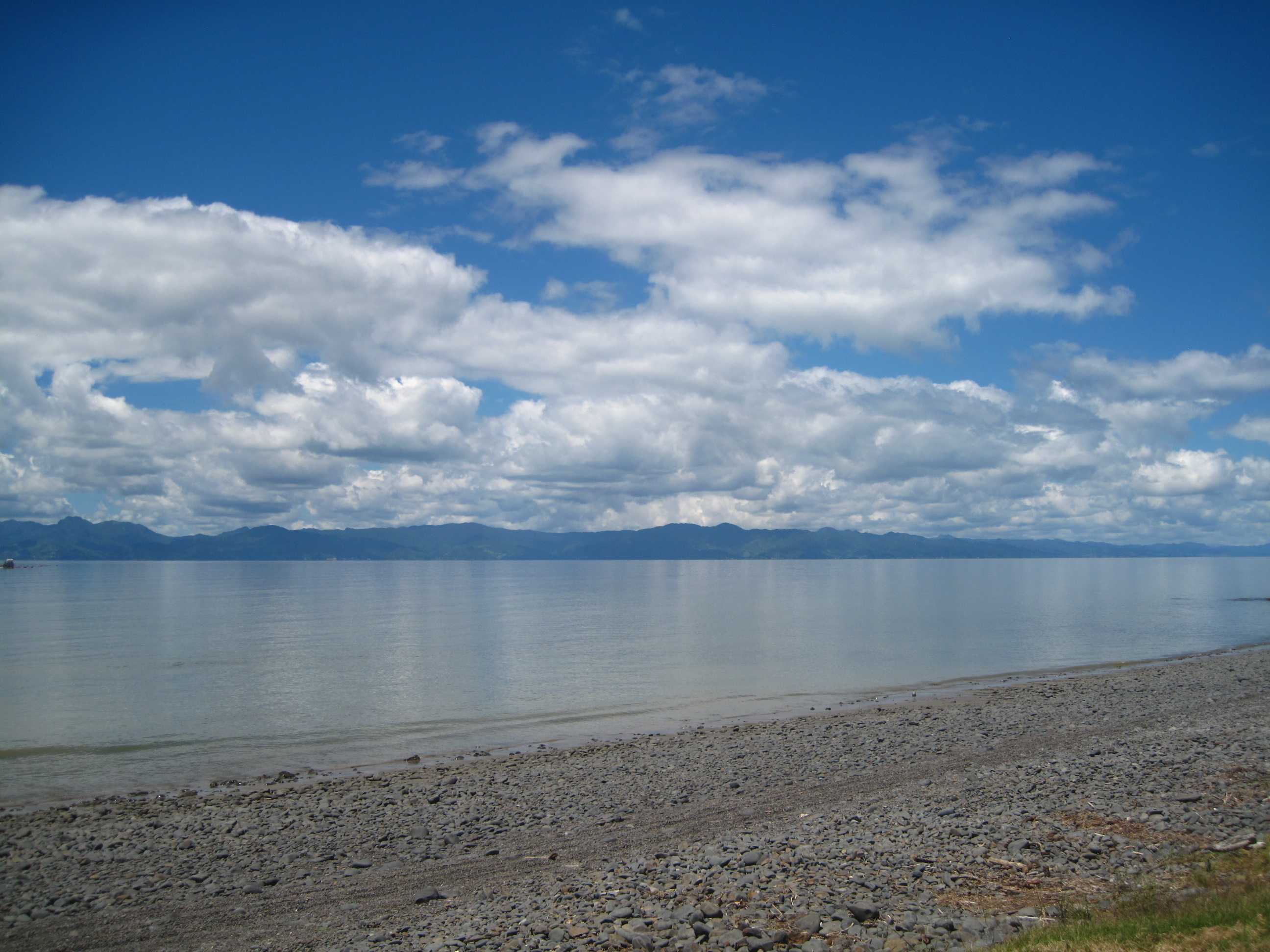
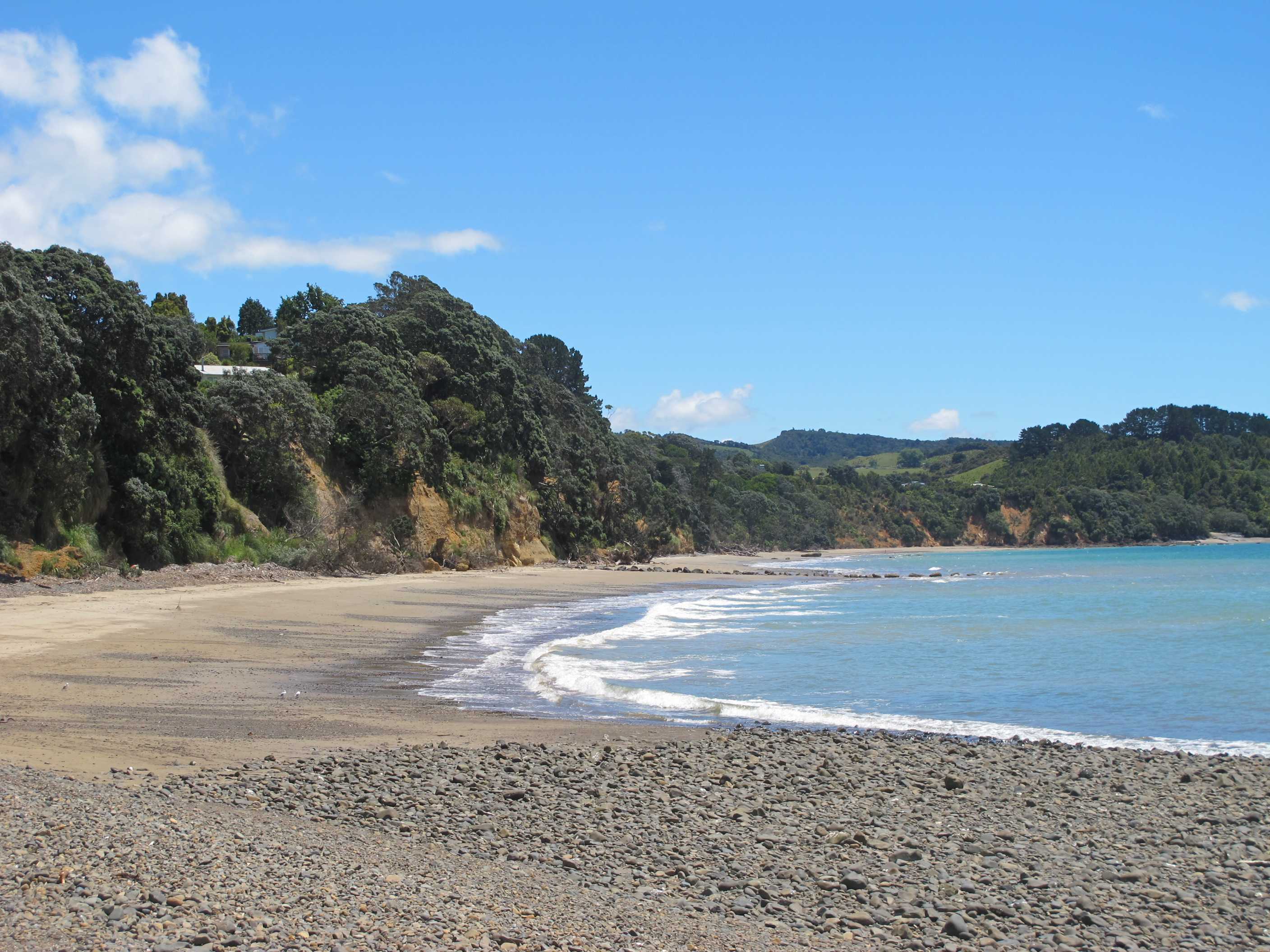
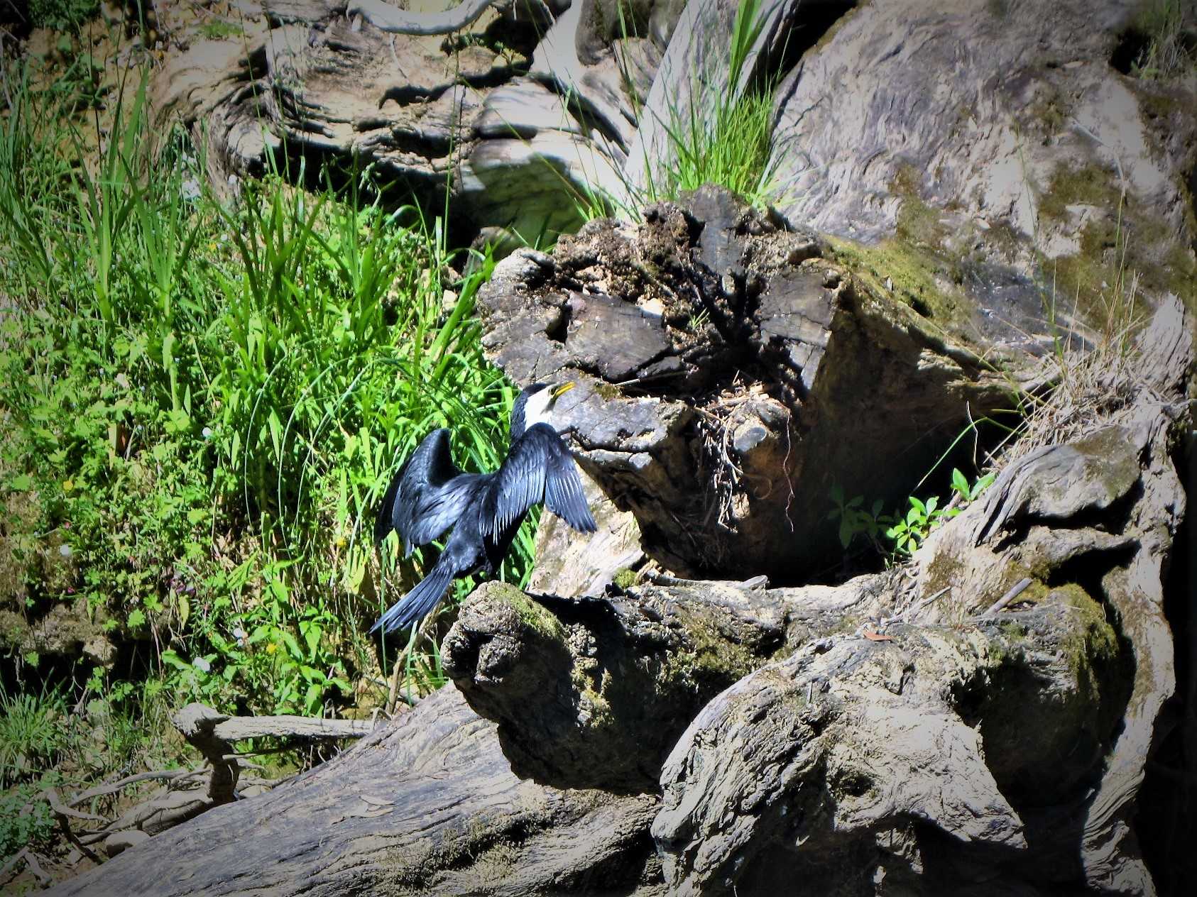
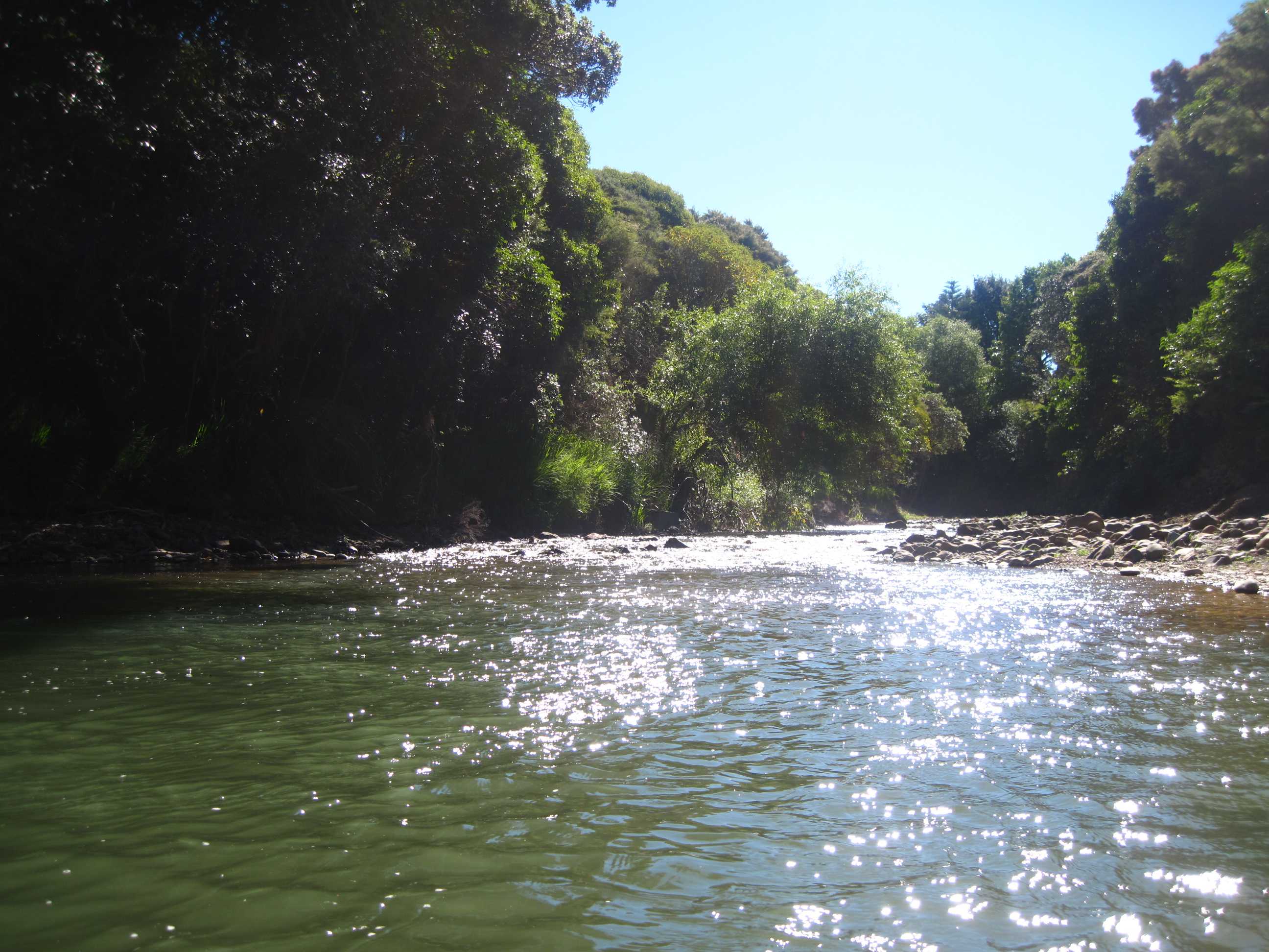
Woke quite early to beautiful sunshine and the thankful realisation that we could in fact, carry on along the gravel road and didn't have to go all the way back. It really was horrendous yesterday evening. It was still gravel, winding and narrow but not as bad or as long. It was such a pretty drive though, through Raglan and towards Hamilton. We stopped at a supermarket for a few provisions and to use the phone to make our ferry booking. All sorted now, can't wait for Sunday! A few relaxing days and not too much driving! Hamilton was big and busy so we hurried through. We stopped off at an Real Fruit Ice Cream place at Huntley. Neil had Coffee flavour with a big scoop of Orange and Honeycombe, while Sue had Passion Fruit and her favourite - Rum and Raisin.
We then decided to head for Miranda and up the west side of the Comorandel inlet. Again lovely drive. We arrived at Orere point, where the camp site is for the next 2 nights. We went down to the beach, which is lovely and had a walk. We then checked in and set about our chores! The we went for a swim in the lovely swimming hole in the river, just next to our van. So good!
Planning on getting the train into Auckland tomorrow for a look around. May well do the hop on hop off bus, to acquaint ourselves with what we want to do. Maybe have a nice meal before coming back for the night. Should be very different to anything we have done so far.
Left about 7:30, not relishing the drive to Raglan, but this section of the gravel road was not too bad and not too long so we arrived at a sealed road probably 20 minutes after leaving. We then set the satnav for Hamilton, where Sue got some provisions from the local Countdown supermarket. While she did that Neil spent a few minutes correcting a spreadsheet that Graeme, the Competitions Secretary at Minthis Hills Golf Club had e-mailed him with a plea for help. From there we drove to Miranda, where we would wend our way up the west coast of the Firth of Thames to Orere Point. We didn't really do anything other than sightsee out of the car windows on this journey, the idea being to arrive at Orere, spend some time on the beach there, then check in to the TOP10 campsite and chill out. There is a river at one end that empties out into the sea and the campsite has a couple of swimming holes, so after all the chores had been done - laundry, grey water, black water and fresh water, we went to the water hole just a couple of metres from our parking slot and had a swim (a short one in Neil's case). Sue managed to get very close to a shag and took its photo (about 2 dozen times).
We decided we'd BBQ the meat we bought at a nice butchers in New Plymouth and have it outside with a good bottle of red wine. Tomorrow we plan to spend the day in Auckland. The very helpful lady on reception told us the best way is to take the ferry, but unfortunately this doesn't run at the weekend, so instead we'll drive to Papakura, leave the motorhome at the railway station and take the train in. We'll have an evening meal in Auckland before coming back. We will stay one more night at this campsite before taking the Sealink ferry from Half Moon Bay to Kennedy Point on Waiheke Island, where we'll be spending 3 nights - can't wait.
night |
kms |
Overnight Stay at |
Cost/night |
Facilities |
Wow Factor |
Photos |
|---|---|---|---|---|---|---|
| 41 | 82 | TOP10 - Orere Point | $45 | 3 | 3 |
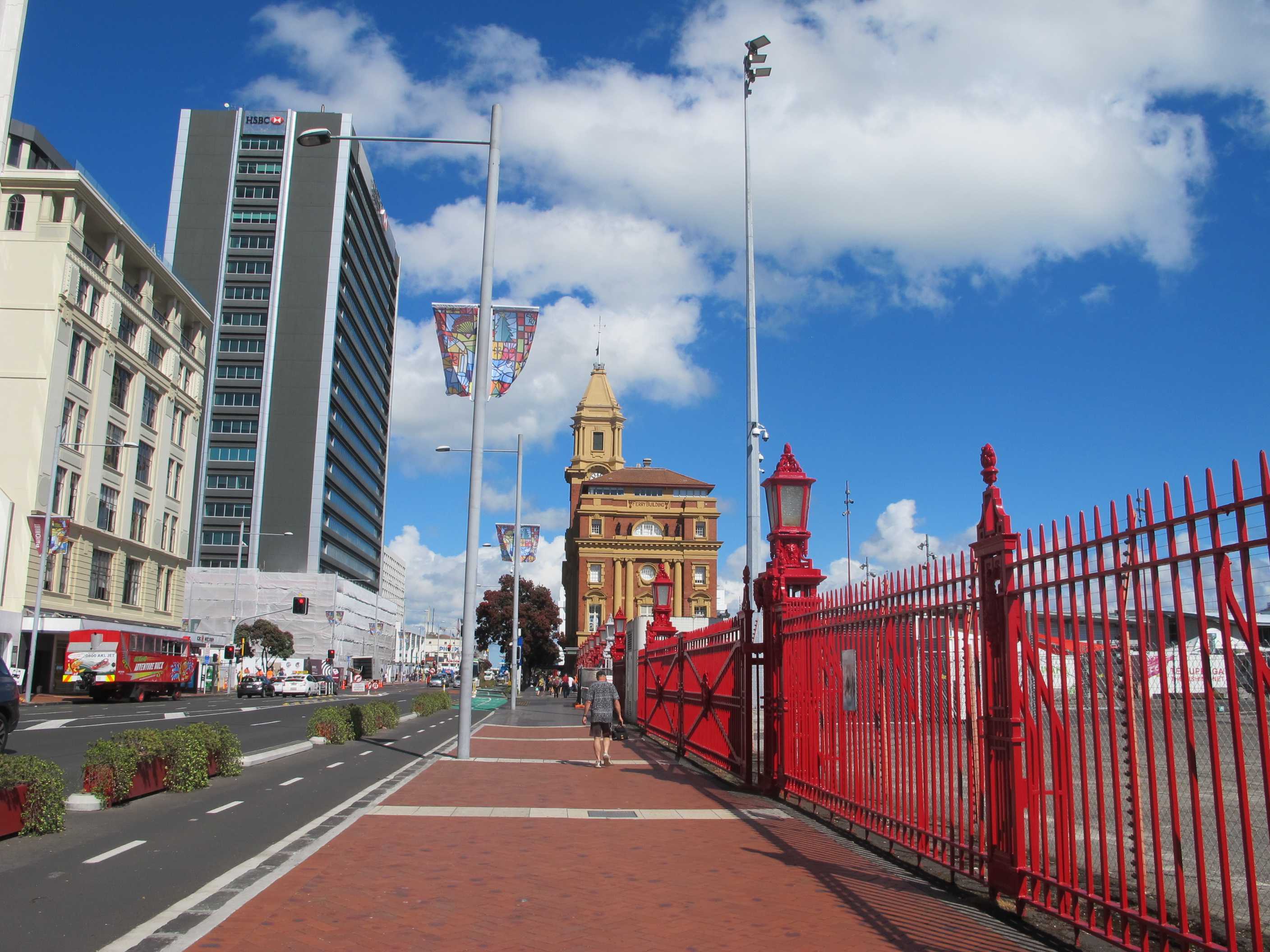
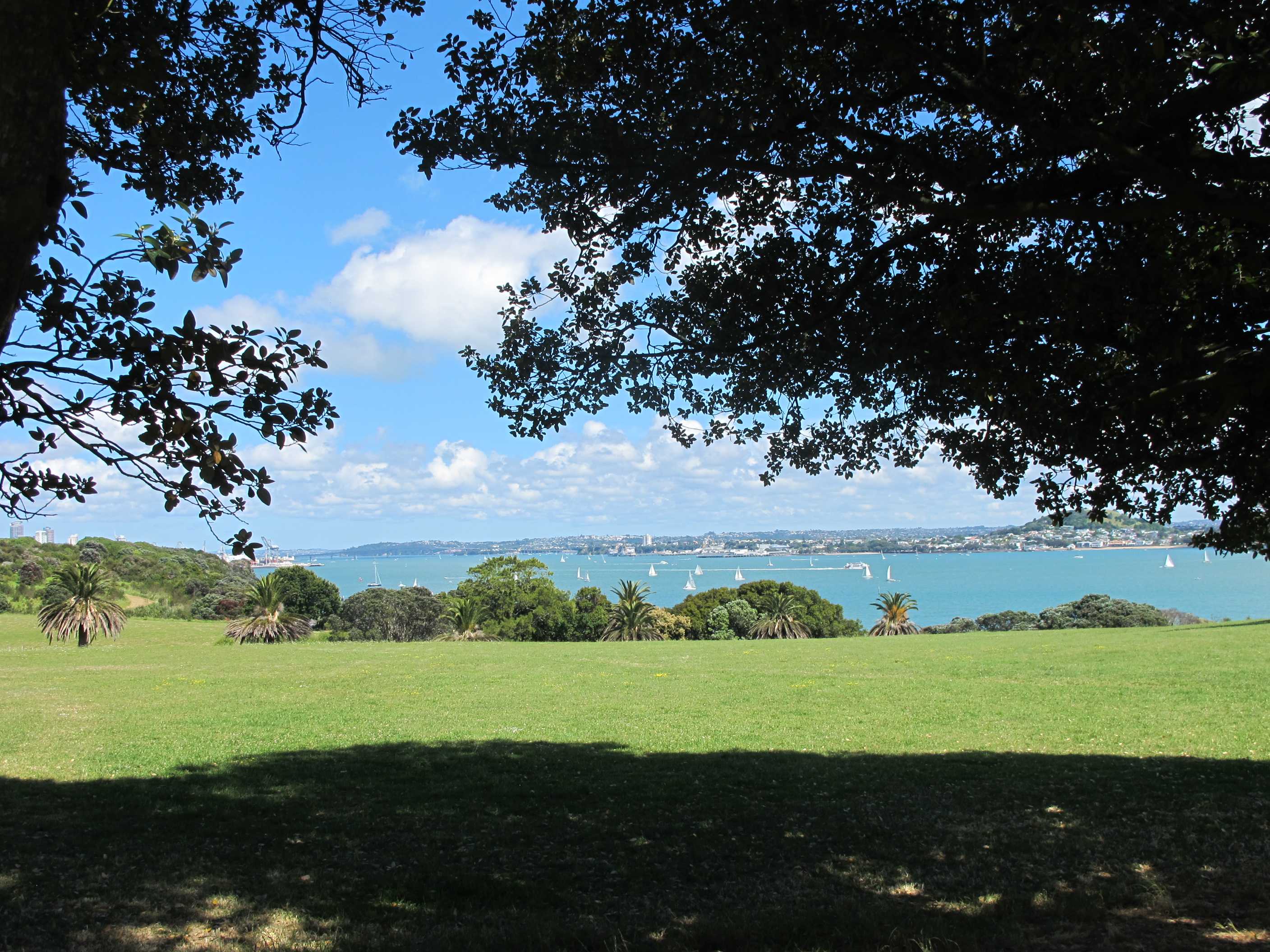
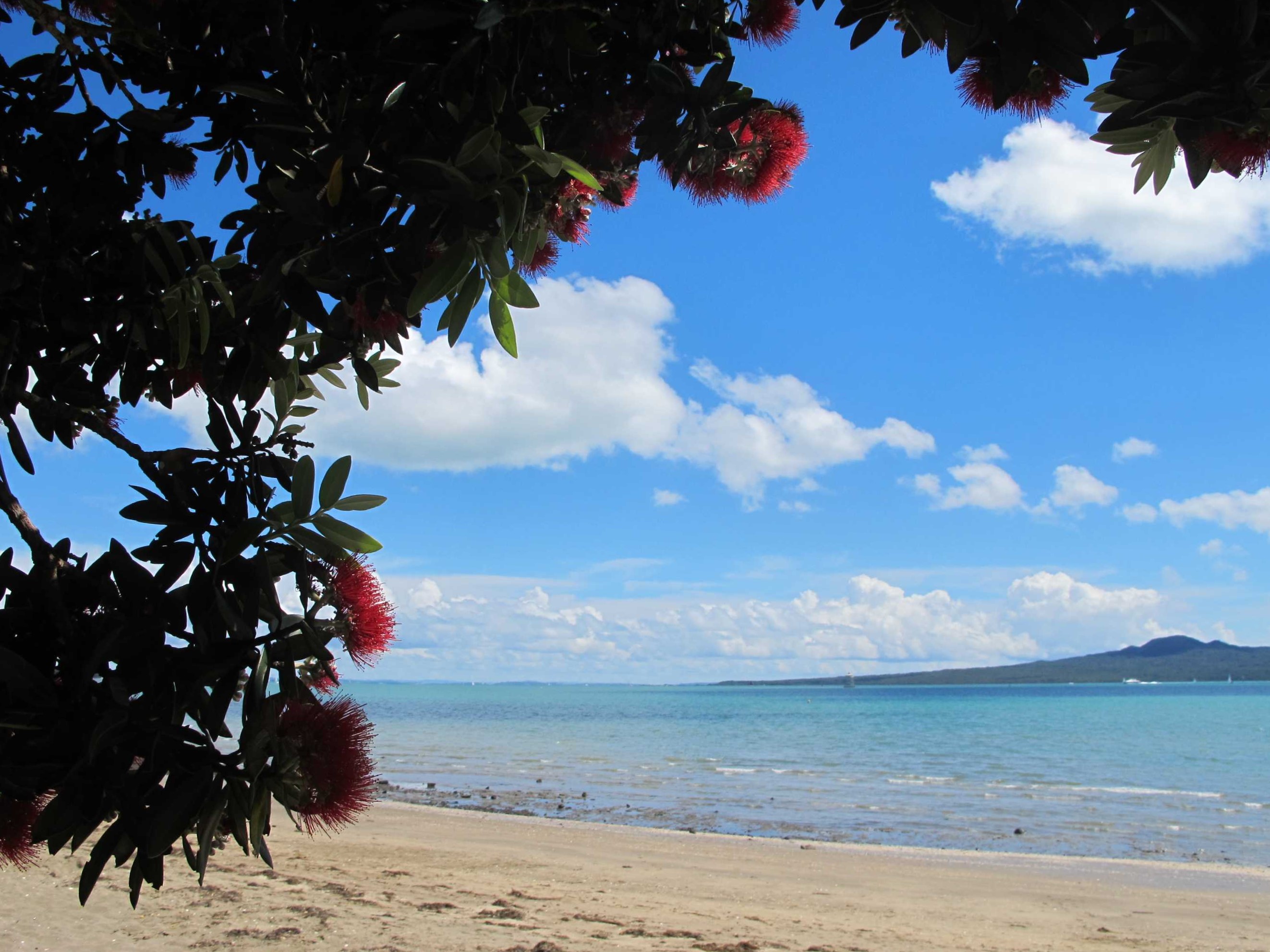
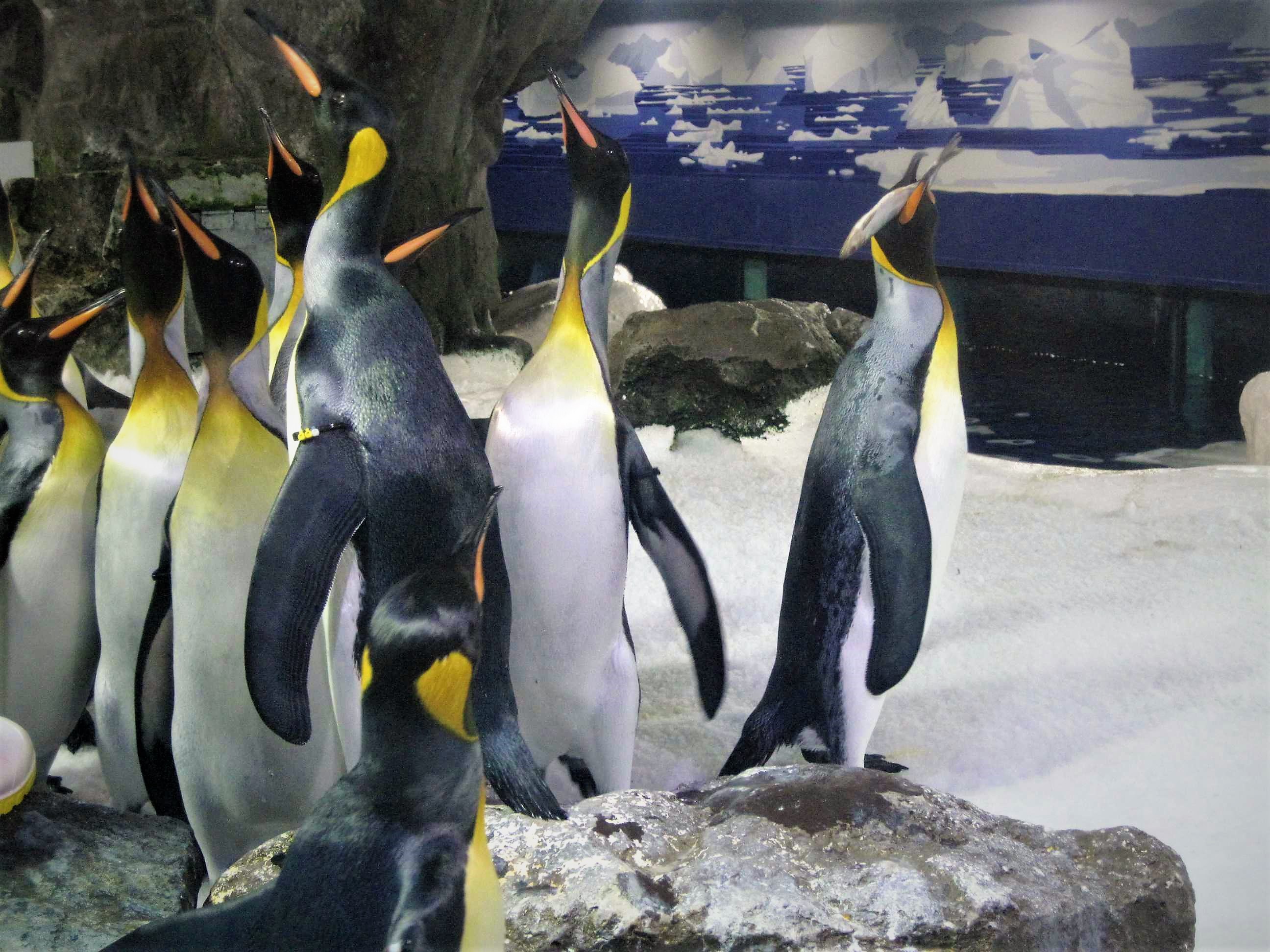
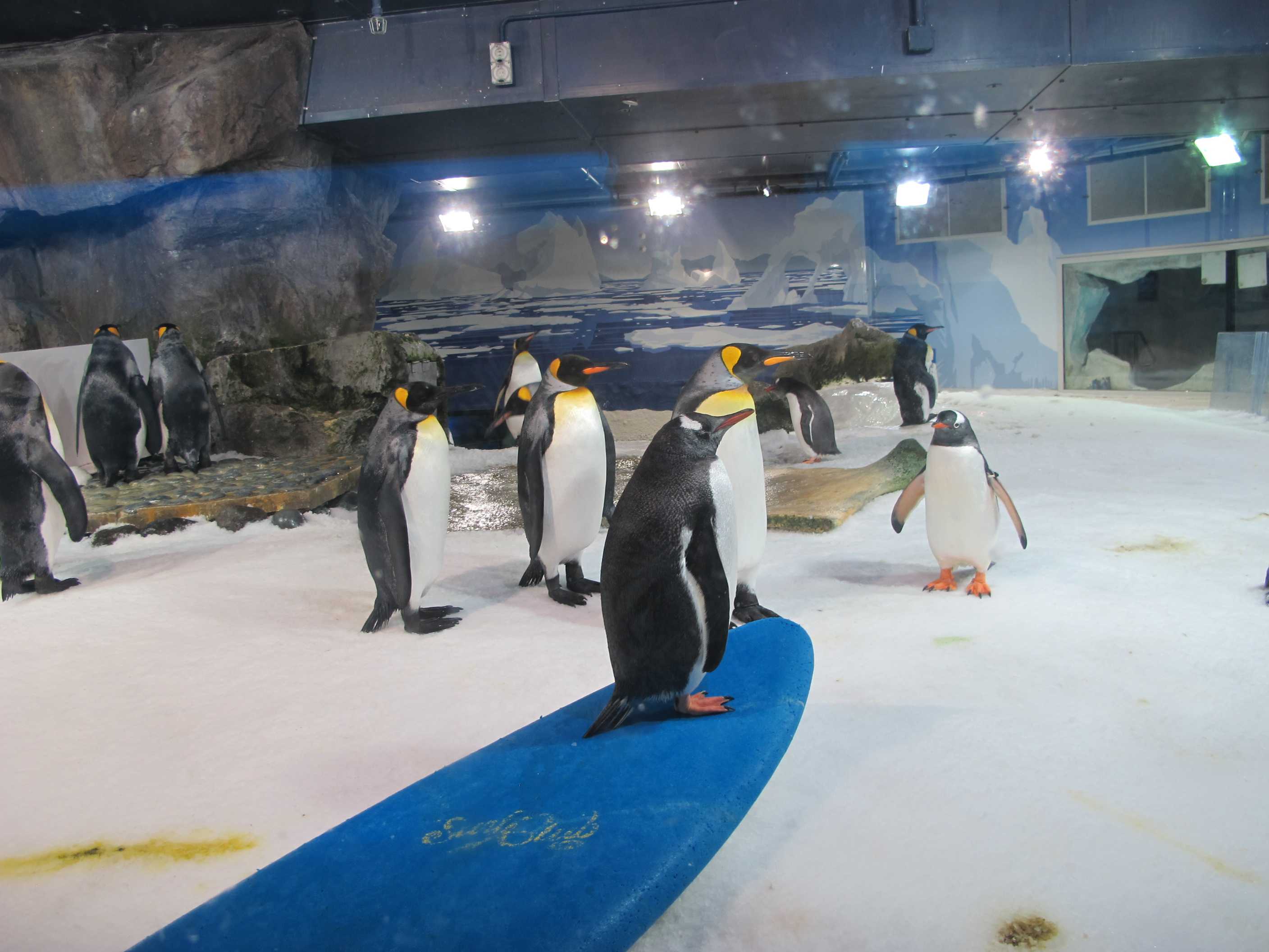
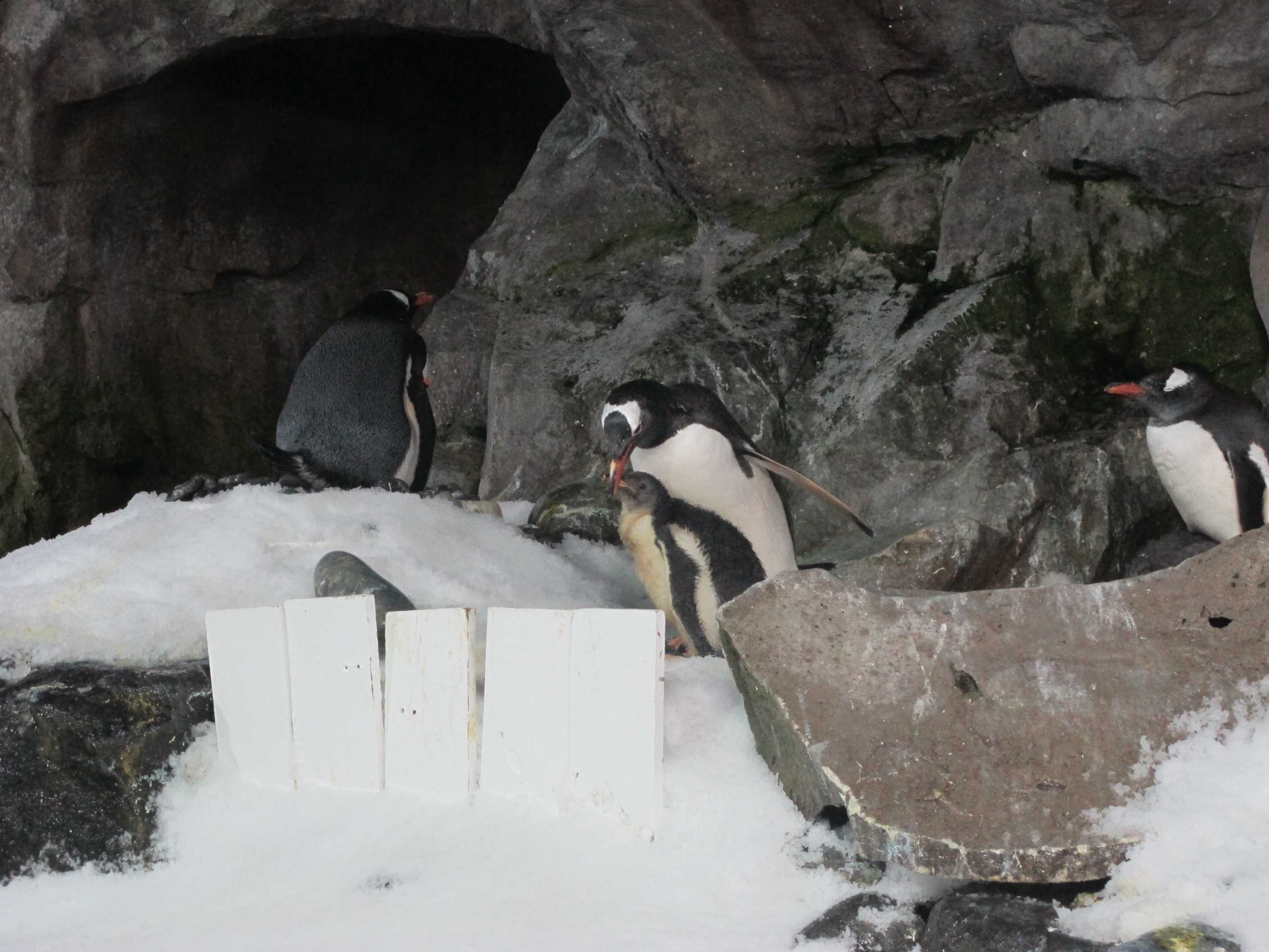
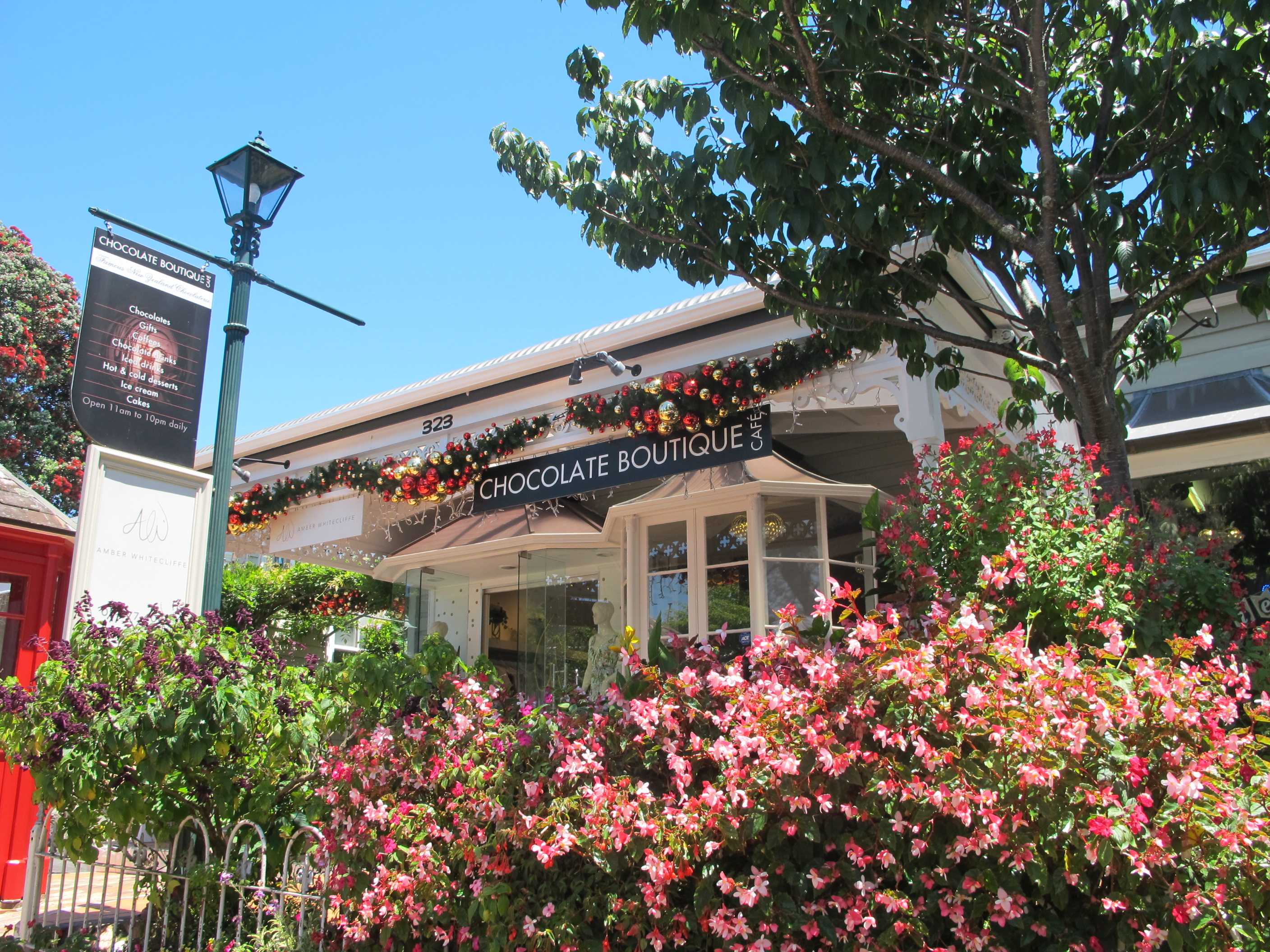
Not a brilliant night as we were parked a little on a slant and I kept rolling into the middle of the bed! Neil slept through or might have though it was his lucky night!! May well be the same tonight as after testing with my lippy, we are again sloping a bit. Tried all directions but this was the best of the bunch!
Drove to the train station and got the train into Auckland. Great way to travel, no driving and no hassles parking! We then walked along Quay street and got the hop on hop off bus, a great way to see everything, we always feel. First stop was Kelly Tarletons sea life centre. We had read it was a great place and boy was it! The penguin encounter was fabulous, we spent so much time just watching them and we saw them being fed. There was underwater viewing too, we have some great videos. Also, lots of baby penguins, so cute. Could have stayed there all day, Neil had to drag me away. On the way in to see them, there was this tunnel, where the white, ice like walls revolved. Walking through was very disorienting as you felt you were moving and it was hard to keep balance!
Then there was a glass tunnel, but huge, it went round a large area and there was a moving walkway if you wanted. Very cool drifting through, along side and underneath sharks, enormous rays, turtles, all kinds of fish, some huge. I went through 3 times, again could have stayed all day. Then all the usual suspects from an aquarium and some unusual too! We loved it and would do it again like a shot!
Back on the hop on hop off, we saw lots more sights, we decided to stay on till we got to Parnell village. It is really quaint, full of boutique shops, and many bars and restaurants. We bought a couple things, then Neil and please note, I said Neil spent quite a bit on this gorgeous dish/bowl made out of thousands of years old wood and stunningly decorated. We both fell for it, but I said it was quite expensive and did not know how we would get it home. We left it and went to a little place for lunch instead.
The restaurant, Di Mare, was lovely and we sat in the pretty courtyard, eating delicious fish and drinking the most delicious Chardonnay. The couple who owned it started chatting and were very interested we came from Cyprus. She was from Brazil, but he was half Greek and half Egyptian and they both love that part of the world. After a while, while talking about food, we mentioned I had never tried oysters and was a little concerned I would not like them. He, as the chef, went in and came out with some for us to try. They are a speciality of the area, very fresh and simply prepared. I could not say no, so took one and braved it. Could not do it in one, so bit it and it was delicious! Neil and I finished them off, and they did not even charge us! So instead of a quick lunch, it lasted for ages but sitting in the sun, with good food, good wine and good company was a joy.
Suddenly I noticed the time and we rushed so as not to miss the last bus! Neil found out there was a short time to go, so we went to buy the dish!! It is amazing, just hope we can get it home!! Back on the bus for the rest of the tour, very interesting. We were tired by then, so headed for the train, then the drive back. What a really great day, very different but much fun!
Just had a small surprise but not half as much as a fellow male guest. I was in the shower, having shut the door or so I thought, when he barged in. Poor man, not a pretty sight for him to come across! Well, bed shortly as an early start to catch the ferry to Waiheke. Really looking forward to seeing it all and winding down for the end of our trip.
Out of the campsite by 7:50 to catch the train into Auckland. It is an hour's drive to Papakuri, then an hour on the train, but at least we don't have to brave the Auckland traffic again with the motorhome. We arrived at Britomart, the end of the line and right next to Queens Quay. We walked around and just missed the hop-on-hop-off bus so we looked around the harbour at the yaughts, then back to catch the next HOHO bus.
Our first stop was Bastion Point Lookout which offers some good views over the sea and is a short 10-minute walk downhill to Mission Bay. From there it is a 20-minute easy walk alont the walkway next to the beach to Kelly Tarleton's Sealife Aquarium. This is actually the second stop on the HOH, but we chose the pleasant walk and to see so many yaughts sailing demonstrated why Auckland is called The City of Sails
Kelly Tarletons was fantastic. It had lots of information on polar exploration, including a mock-up of Scott's Hut on his fateful trip to reach the South Pole. There was a tunnel made to look like ice which revolved around the walkway. When you went along the walkway you became totally disoriented as iyou brain was telling you that the walls of the tunnel were stationary and it was the walkway that was revolving. If not for the handrails some people would have falle over!
Next we came to the Penguin enclosure, where you could see them both above and below water. There were several chicks being tended by their parents and several penguins were incubating eggs. We watched them being fed too. All in all we must have spent three-quarters of an hour just gazing at these fantastic birds.
After the penquins we moved on to the main aquarium. This is huge and has a doughnut shaped glass tunnel going through it with a walkway, one half of which travels at a slow speed. The sea creatures swim beside you and over you. Again a fantastic experience and again we spent ages doing this going round several times. Finally there were tanks with lots of other exhibits. I was a very enjoyable way of spending two hours.
We got back on the HOHO bus and hopped off at Parnell Village, where we had a lovely meal at Di Mare Restaurant where we sat chatting for a hour with the chef and his wife. When he heard we had never eaten oysters before he went and prepared 4 and gave them to us to try. They were lovely. Then, time running short we bought a dish made of Kauri wood 4,500 years-old and caught the HOHO back to the terminus to catch the train back to Papakuri and then on to the TOP10 Campsite for our second night. Waiheke Island tomorrow.
night |
kms |
Overnight Stay at |
Cost/night |
Facilities |
Wow Factor |
Photos |
|---|---|---|---|---|---|---|
| 42 | 82 | Poukaraka Flats, Waiheke | $20 | 2 | 4 |
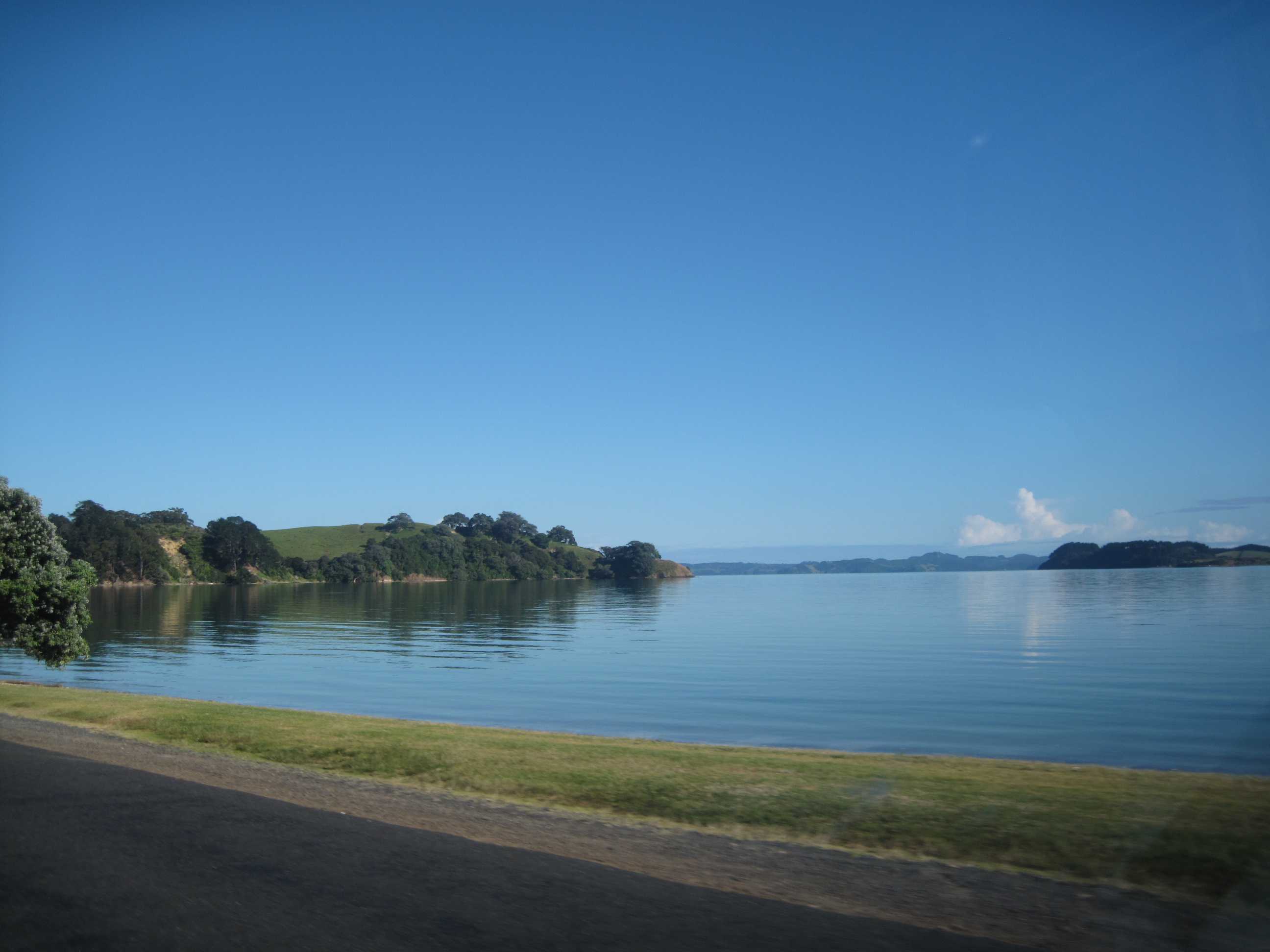
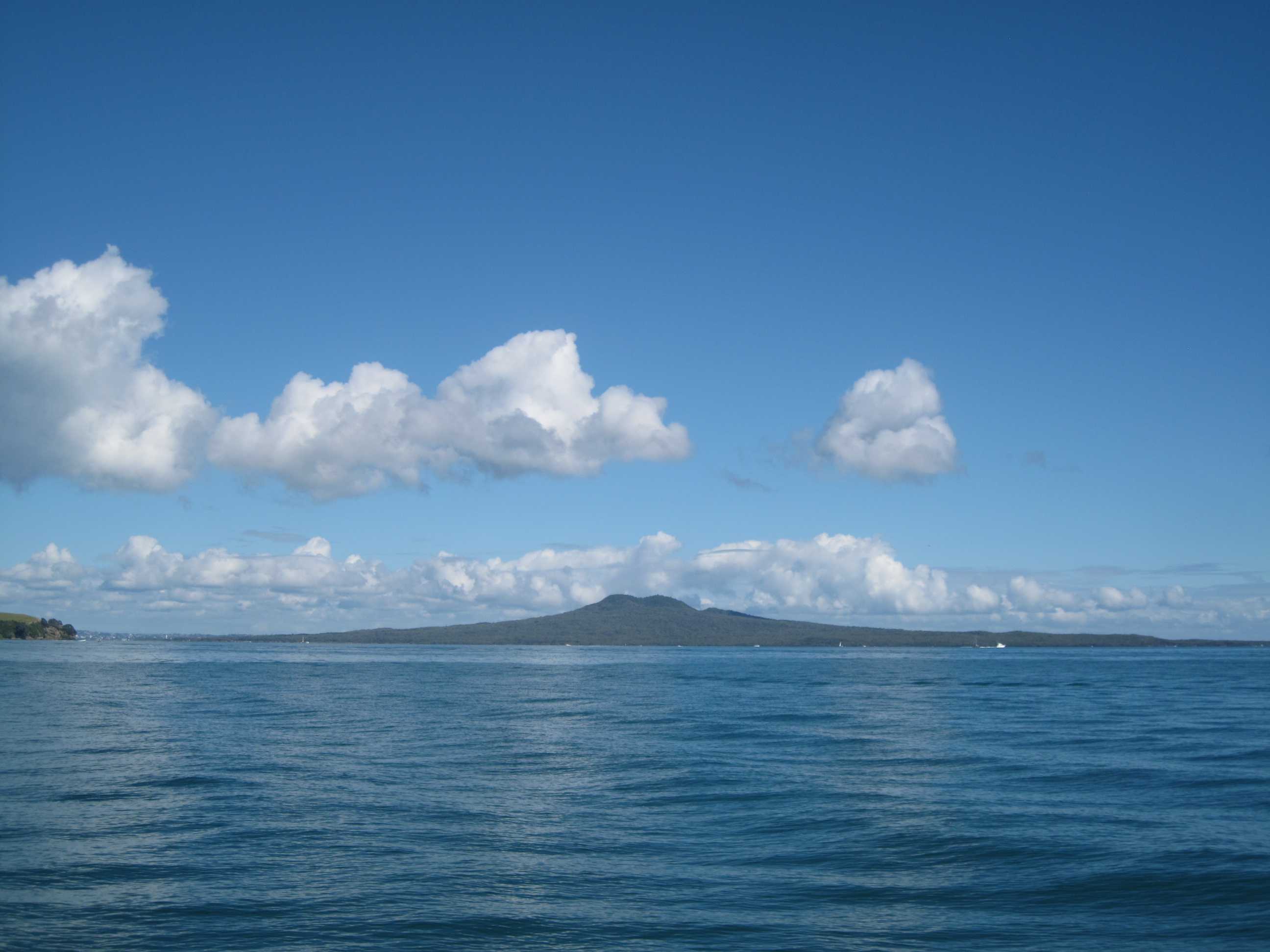
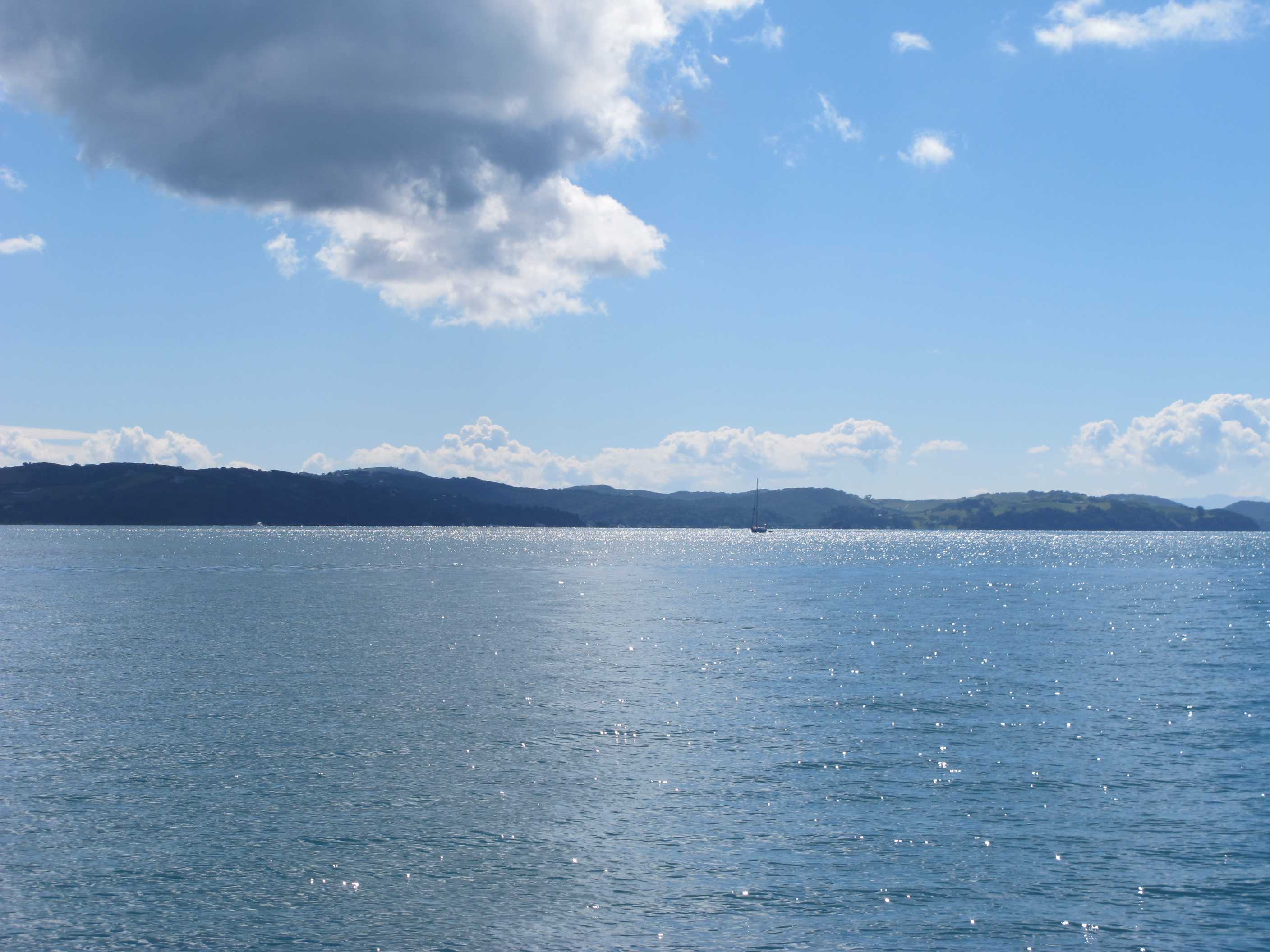
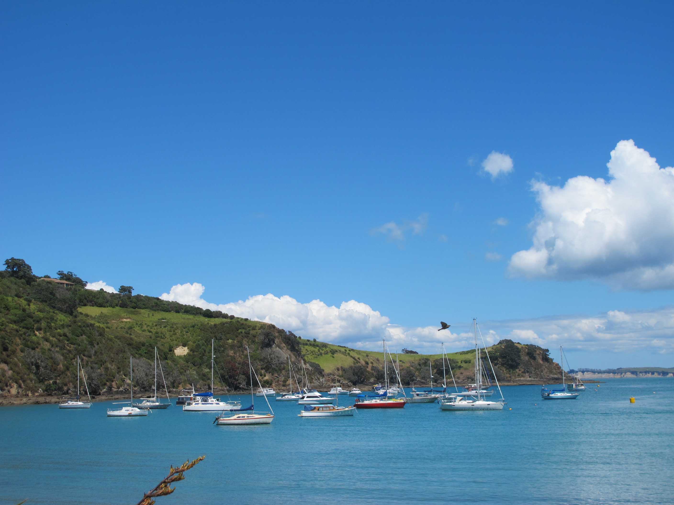
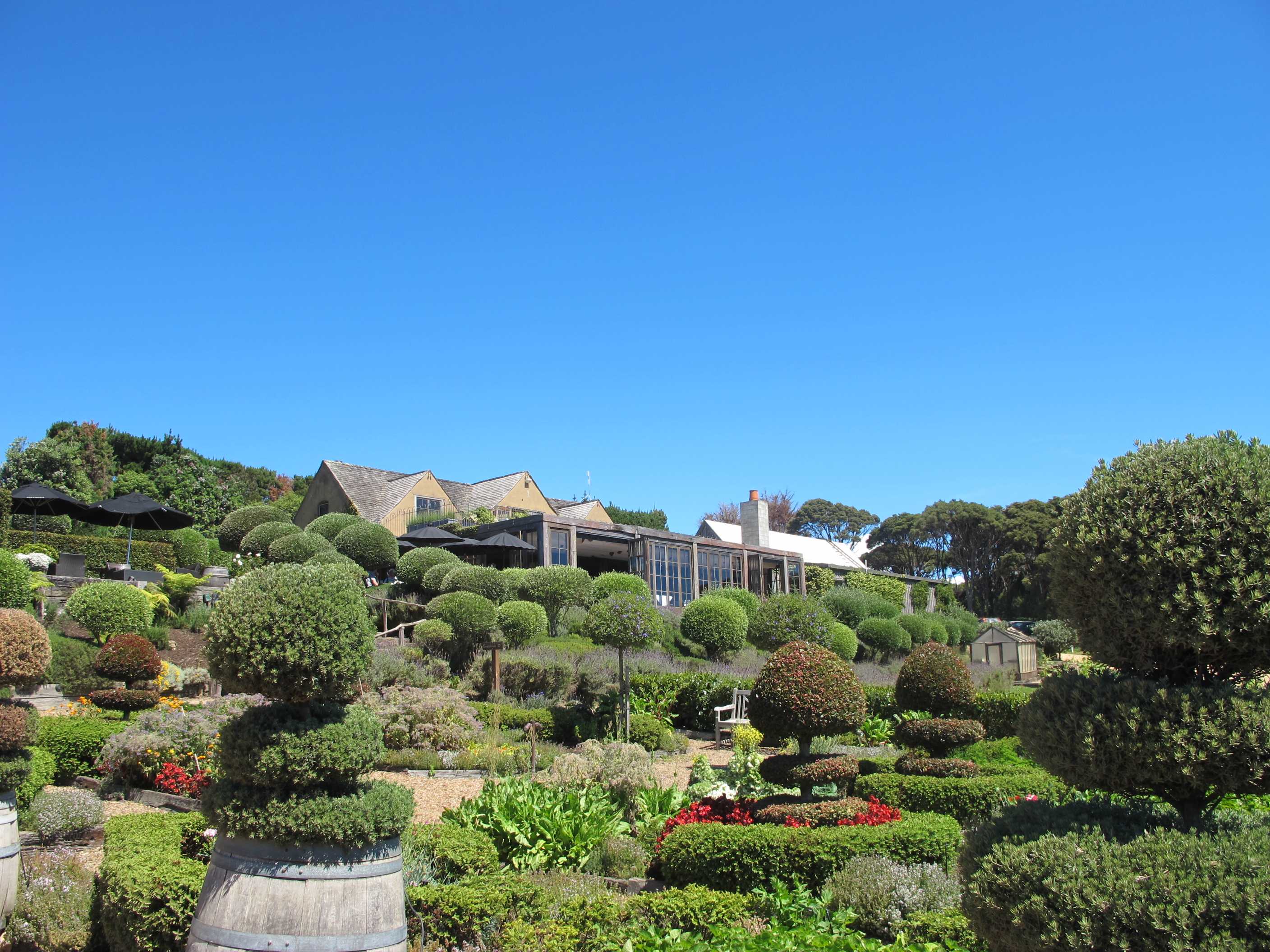
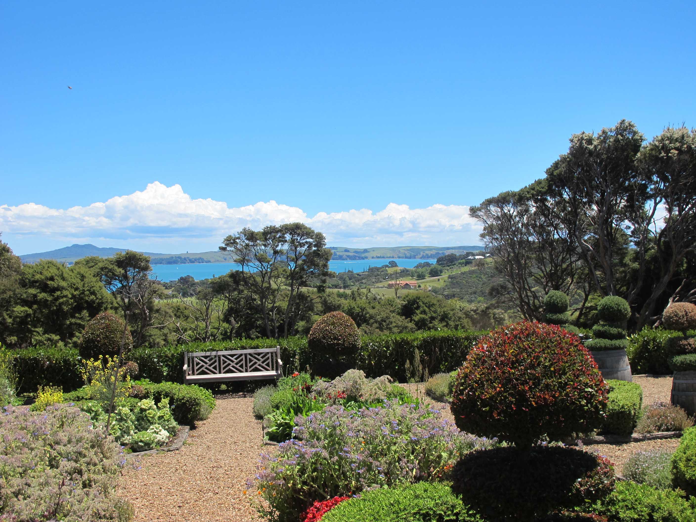
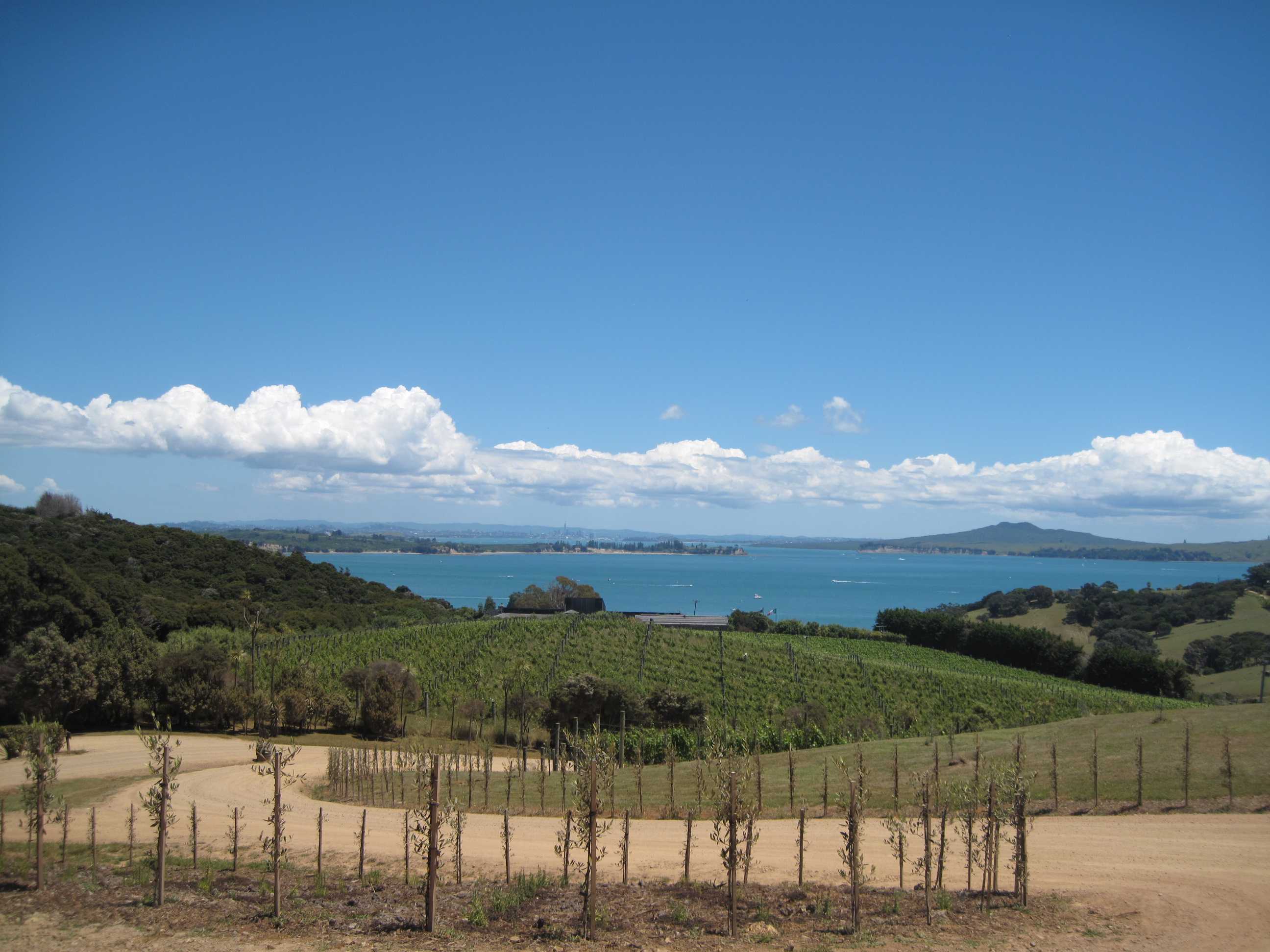
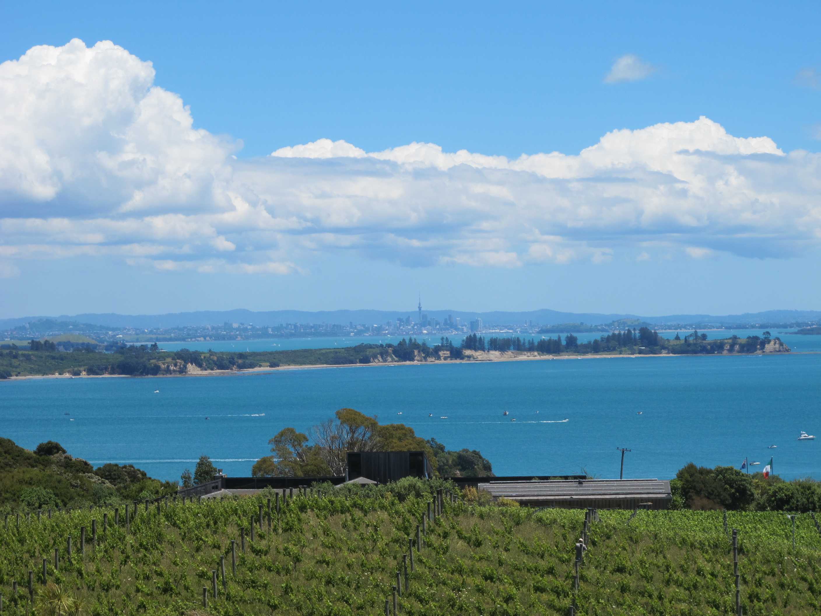
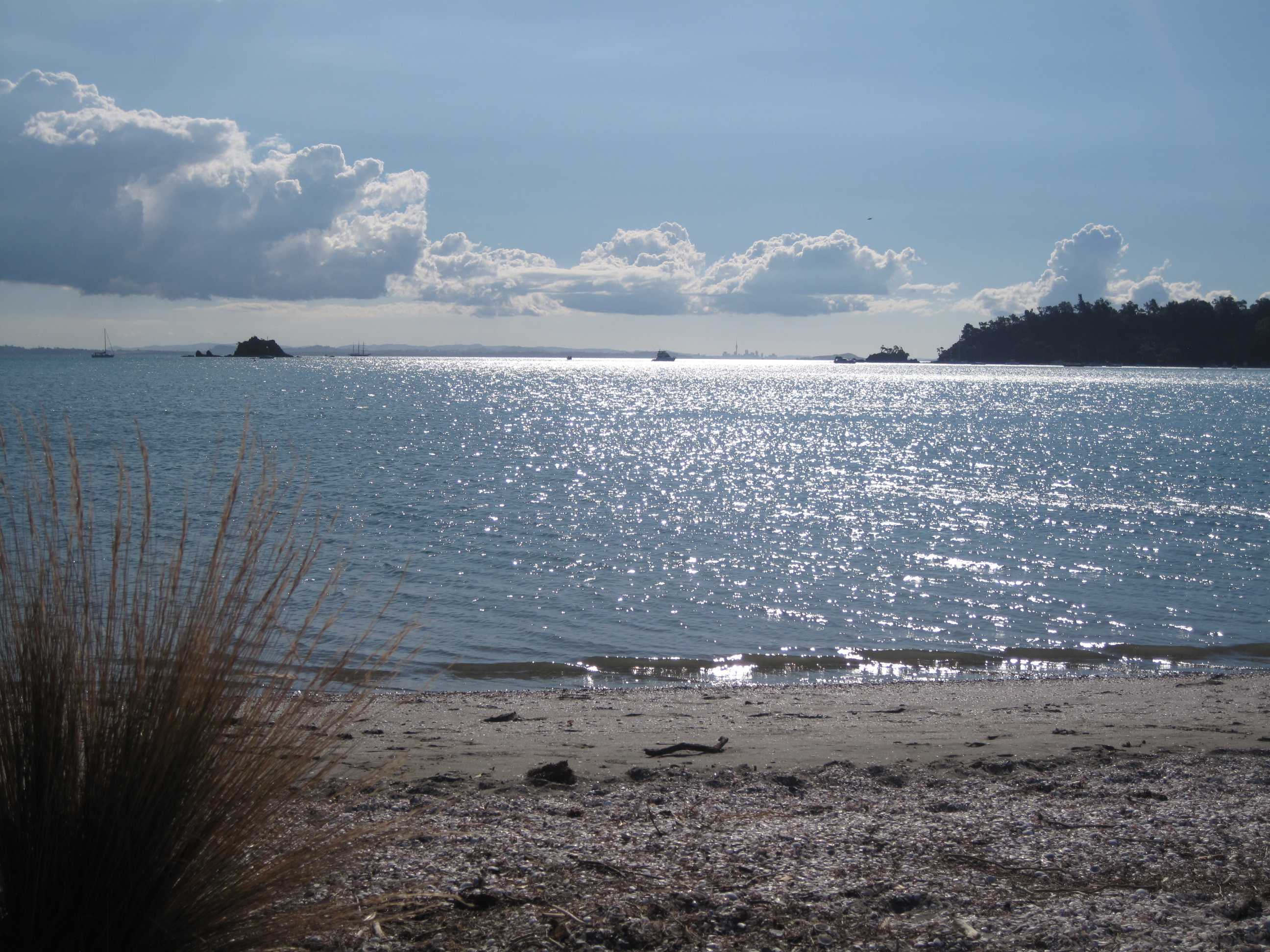
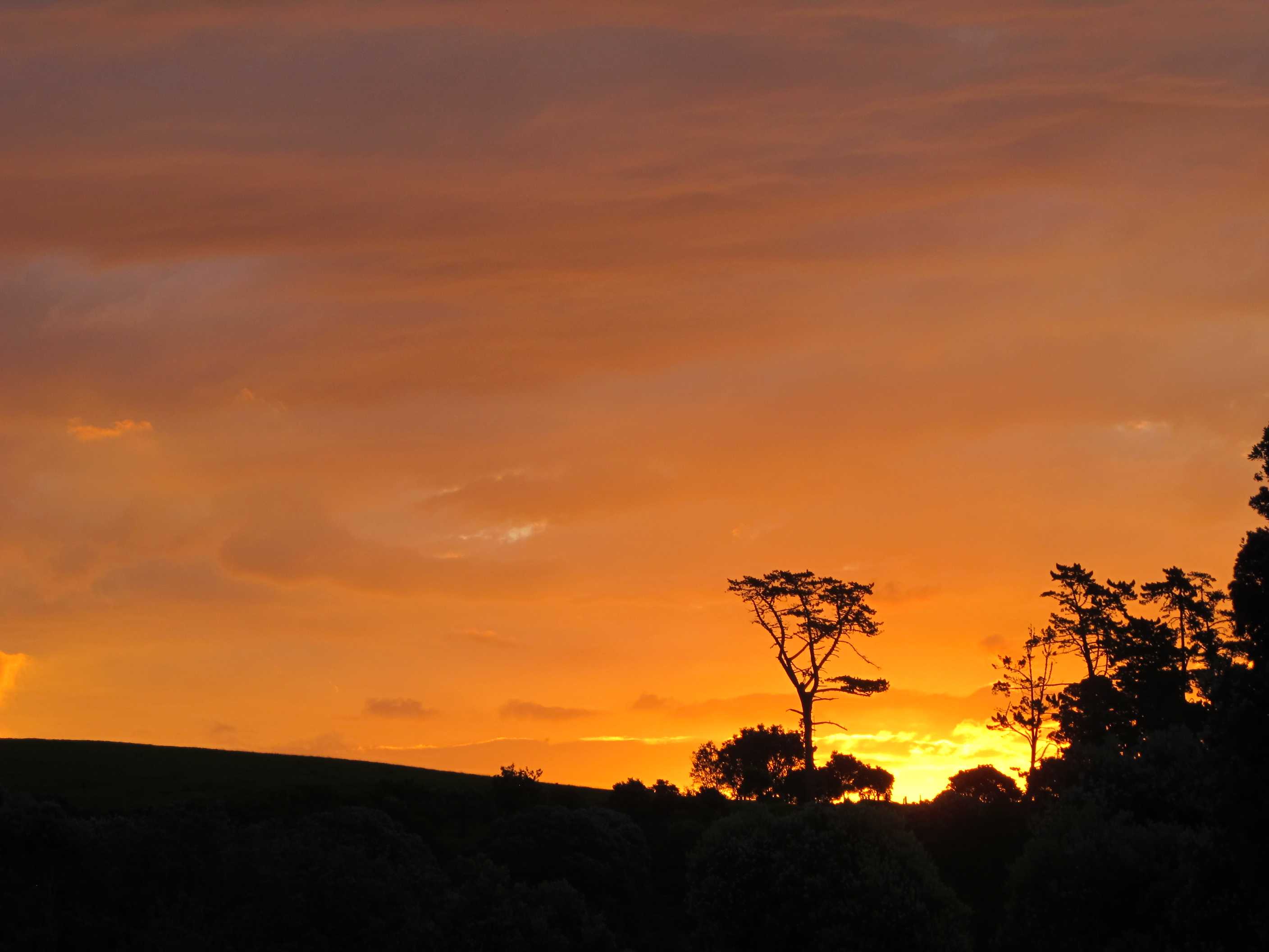
Left the site in plenty of time to drive the 1 hour to the ferry. We arrived a bit early at 9am for the 10am sailing, the girl asked if we wanted to go on the 9 o clock ferry instead. We said yes, drove straight on and away we went. So easy, no fuss! Lovely trip took about 1 hour and sailed through several of the Hauraki gulf islands. The sun was shining and it was totally calm.
On arrival we drove 10 minutes to Oneroa. We had a walk round some lovely shops, bars and cafes. We had an ice cream yes, I know, another one, but they are so very good! Neil had mandarin and Thai basil, so very yummy, and I had lime and basil and blueberry. Fabulous! We then drove to look at the other ferry docks and to seek out an i-Site (information desks) they are everywhere and very helpful. They booked us a zip line adventure each for Wednesday morning before we get the ferry back. Very exciting if a little scary!!
We then made our way to Mudbrick winery. What a name, it certainly was nicer than it sounded! Beautiful buildings in beautiful gardens and, of course, surrounded by vines! We had a fab lunch and a tasting menu of 4 small samples of wine each. We sat there, in the sun having a wonderful time. We then went to a beach where I had a swim but again I was alone, Neil preferred a bench overlooking the sea!!
We then set off to find our site for the night. We got hopelessly confused and not at all sure we are in the right place, but no phone signal and we are tired, so not moving!!! It is lovely here just a few meters from the beach. Off to explore the east end of the island, which locally, they call the far end. We can't get used to such short distances between places as it is quite small, the coast is 96 km long. Normally we see a couple of map inches and a few hours later we arrive, here it is minutes! We have got lost a couple of times already but nice to see all the back streets!
Left Orere Point behind and travelled to Half Moon Bay to catch the 10am Sealink Ferry to Waiheke Island. Actually arrived at 9am and that ferry was on the verge of departing and since it had a couple of spare spaces they fitted us on. Great, already 1 hour ahead of schedule. The ferry crossing took an hour and for most of it the water was like a mill pond. Saw some lovely views of the other islands, Rangitoto, the Great Barrier Island etc. and also saw some lovely views in the distance of the central business district (CBD) of Auckland, as distinguished by the sky tower. Eventually we arrived at Kennedy Point on Waiheke and since we were last on we were first off!
On leaving the ferry we made for Oneroa Bay, which has some lovely little boutiques and craft shops. Sue popped into a jewellers and was amazed by the jewelery on display. It was made by the owner's wife and is very distinctive you can see examples on their website at: The Artist Goldsmith. The owner was very helpful and gave us some information on beaches to go to and where to find the i-Site (at the Matiata Ferry Terminal). We spent some more time in Oneroa and bought an icecream each, which was heavenly. Then we made our way to Matiata. We went to the i-Site Information Centre there and spoke to a very nice young lady called Alex. She gave us lots of info and booked us on a ziplining experience with EcoZip Adventures. The plan is to do it Wednesday morning at 9:30, then catch the ferry back to Half Moon Bay in the afternoon.
Then we went to Mudbrick Vinyard & Restaurant for some wine tasting and lunch. We tried 8 different wines and for lunch had antipasto, oysters and scallops. The day seemed to drift by and eventually we left to visit one or two of the little bays and beaches. Sue had a swim, but Neil said it wasn't a good idea for him on a full stomach. Then it was off to find our campsite for the night, which was easier said than done Eventually we got to the Poukaraka Flats campsite, run by Auckland Council and we have parked here, but we aren't 100% certain whether we are supposed to be here tonight. It's all very confusing but we are camped up and we're not budging! Tomorrow we'll do some more touring and maybe go to the Batch Winery for dinner.
night |
kms |
Overnight Stay at |
Cost/night |
Facilities |
Wow Factor |
Photos |
|---|---|---|---|---|---|---|
| 43 | 54 | Poukaraka Flats, Waiheke | $20 | 2 | 4 |
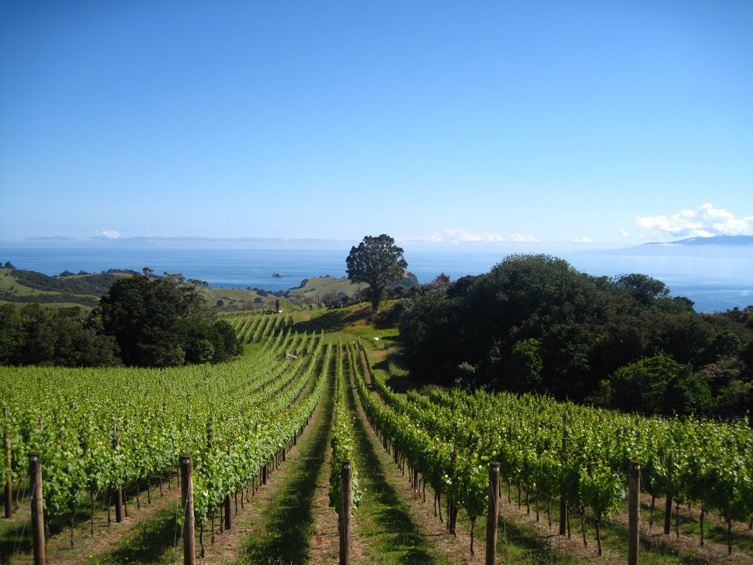
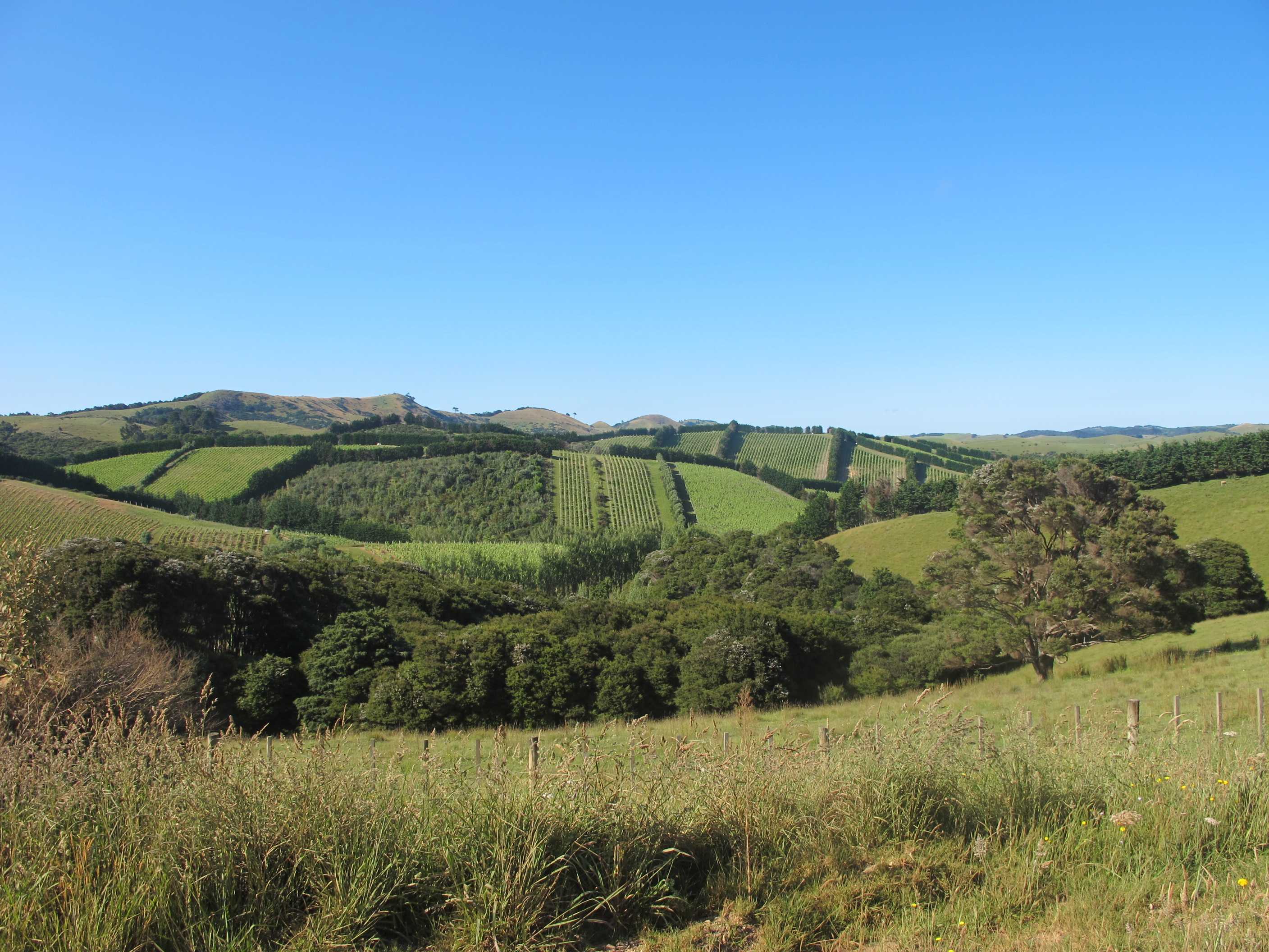
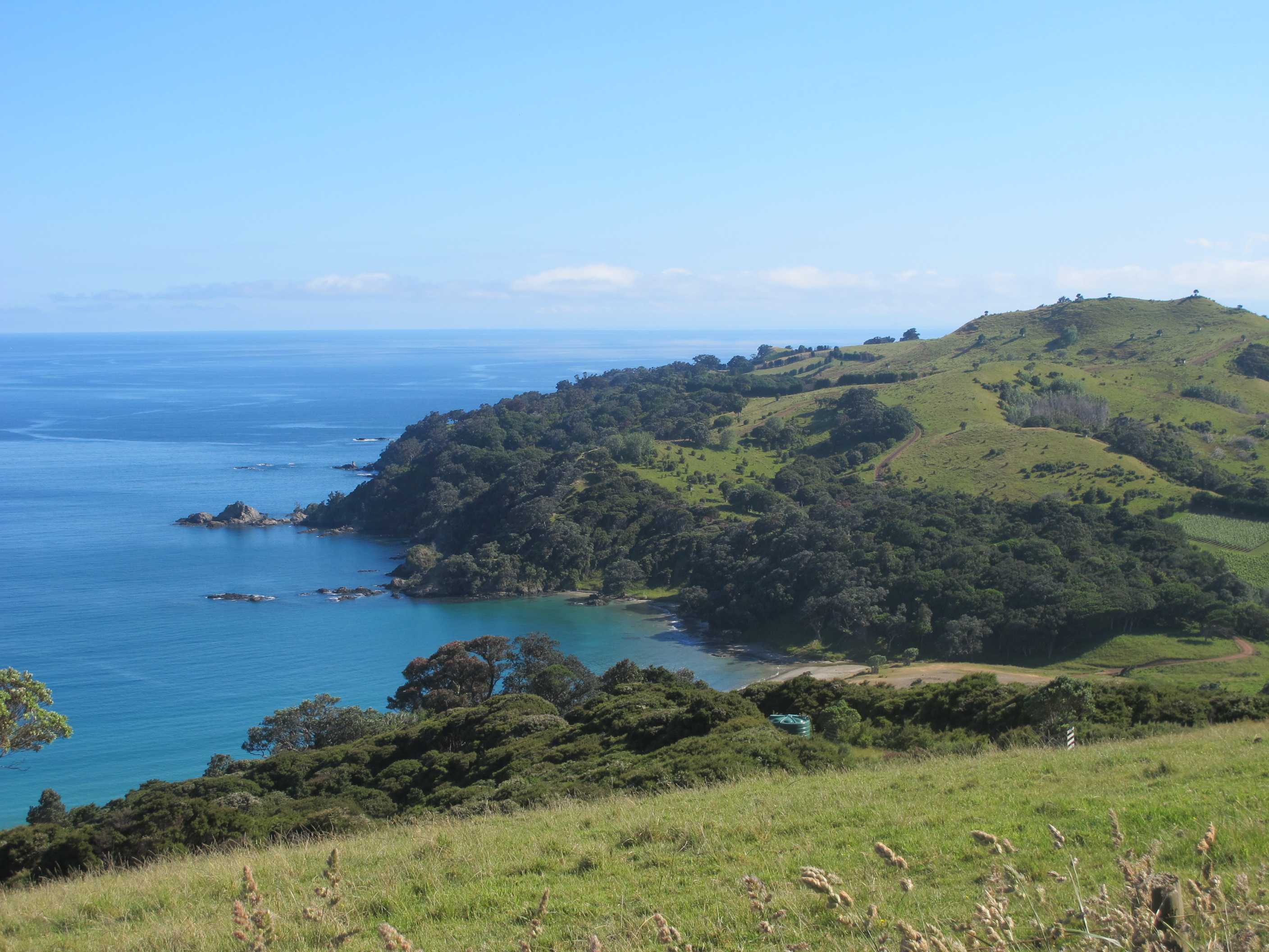
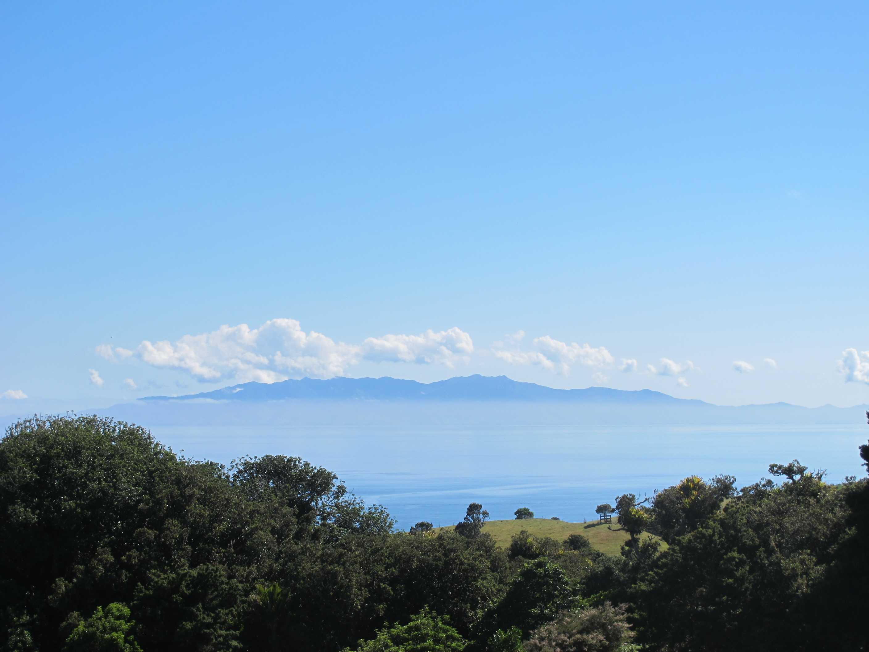
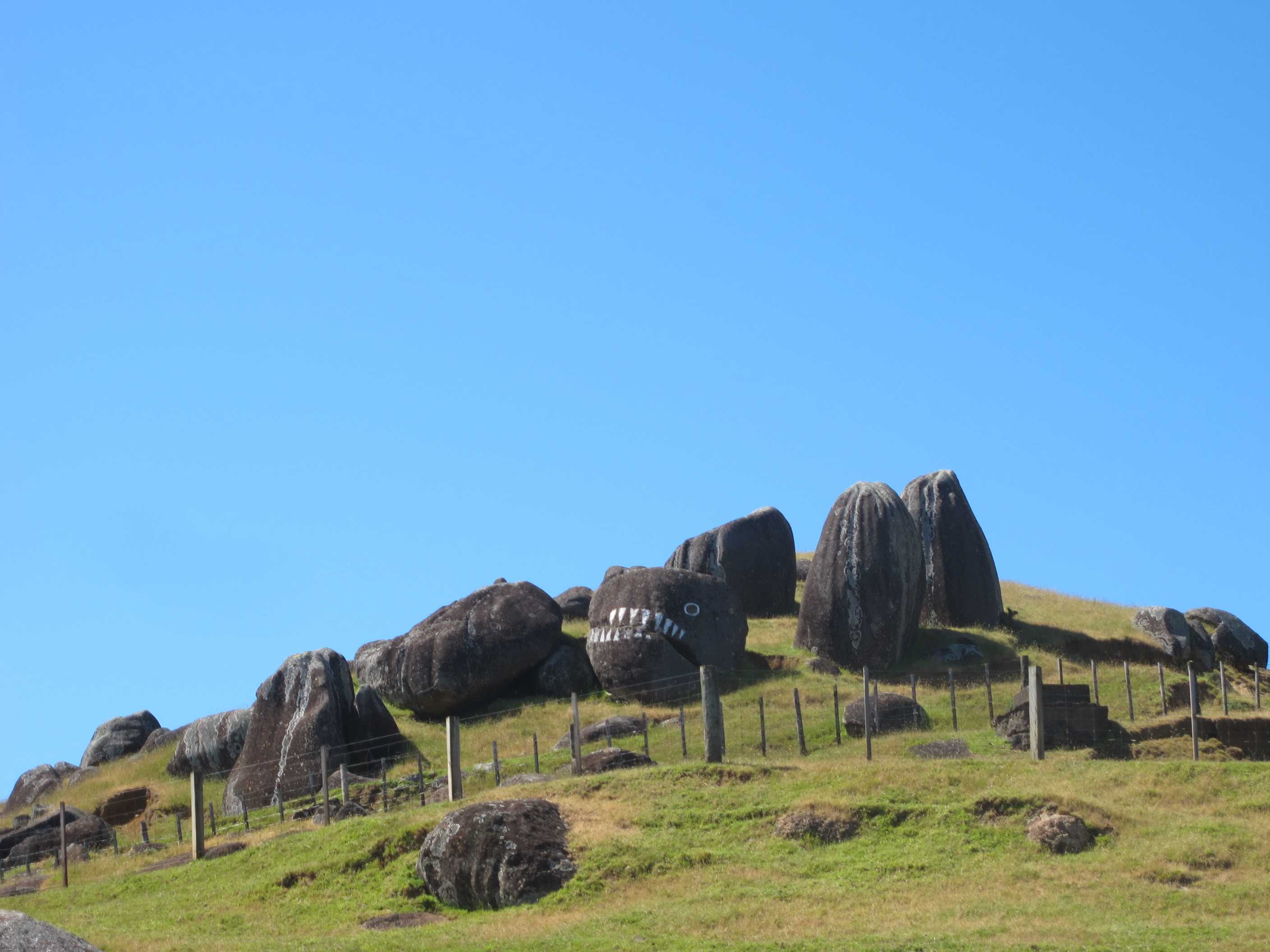
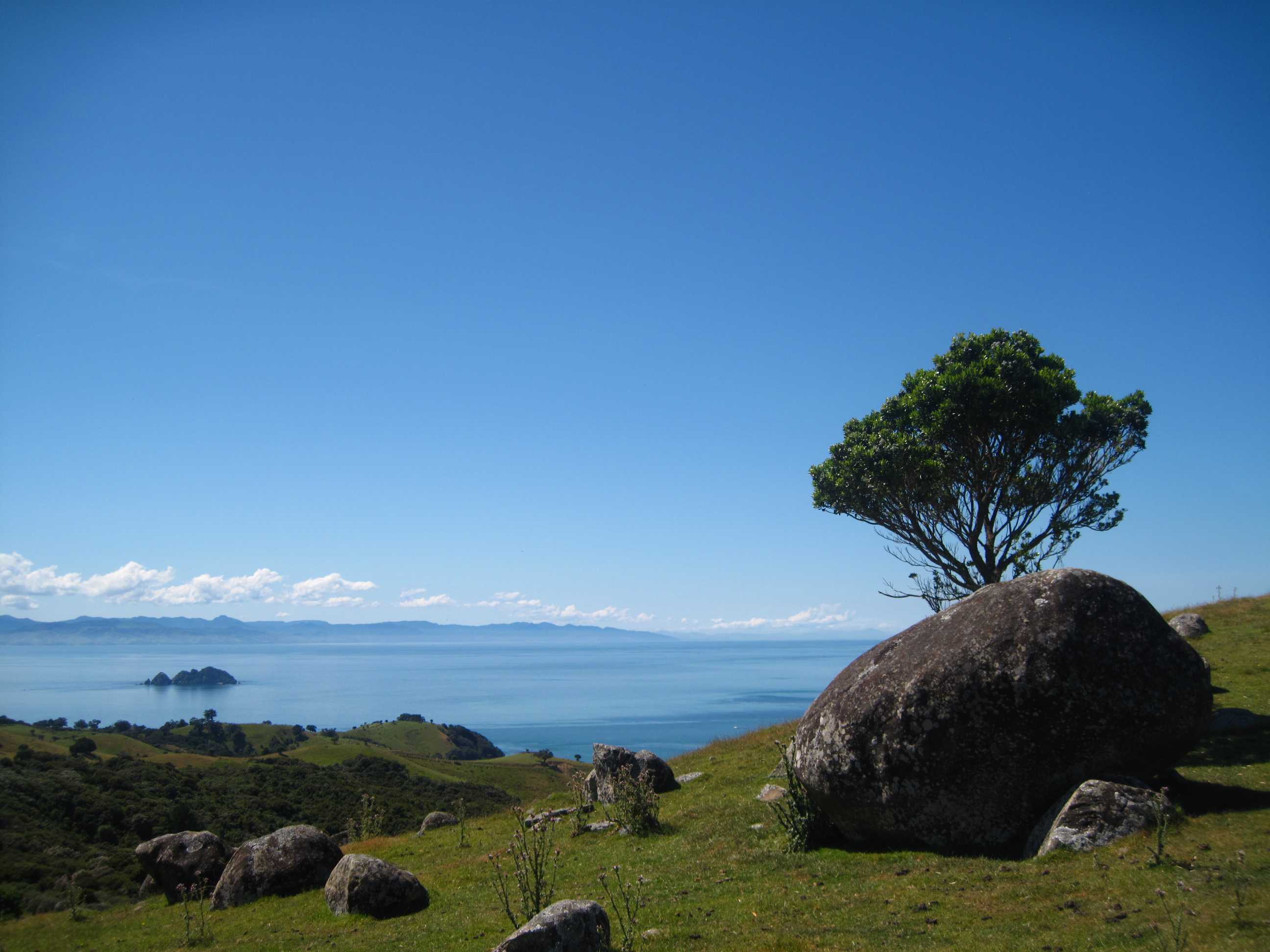
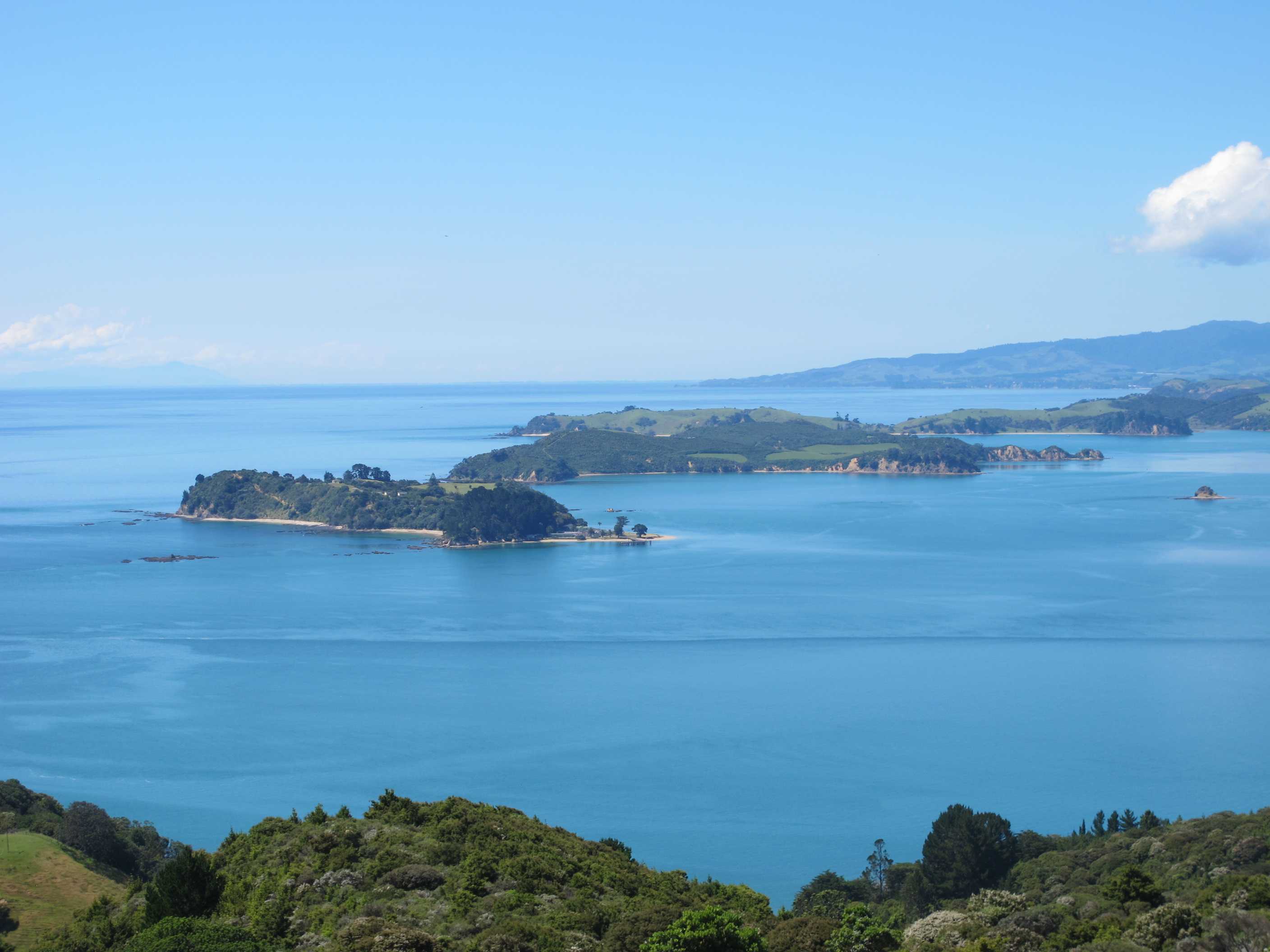
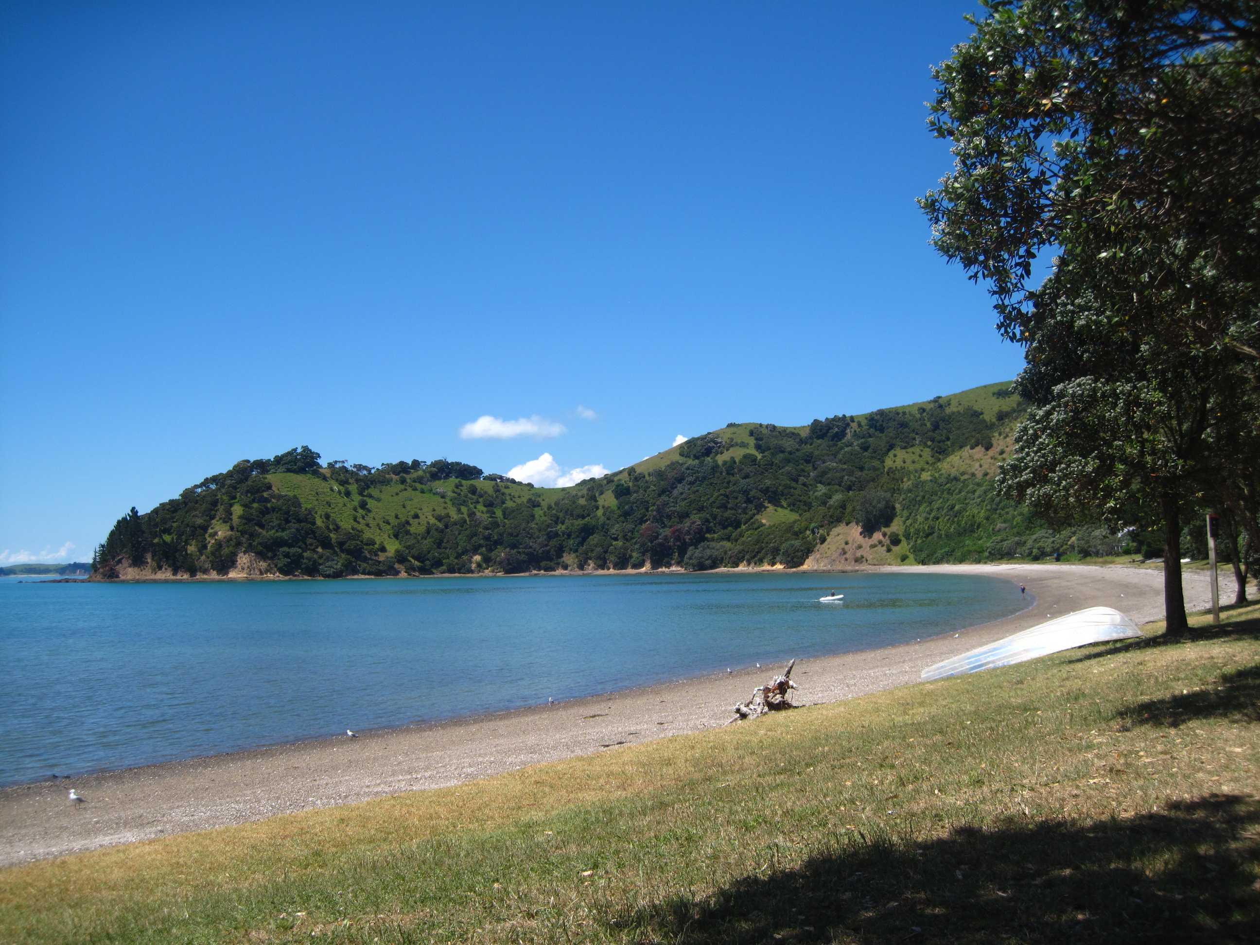
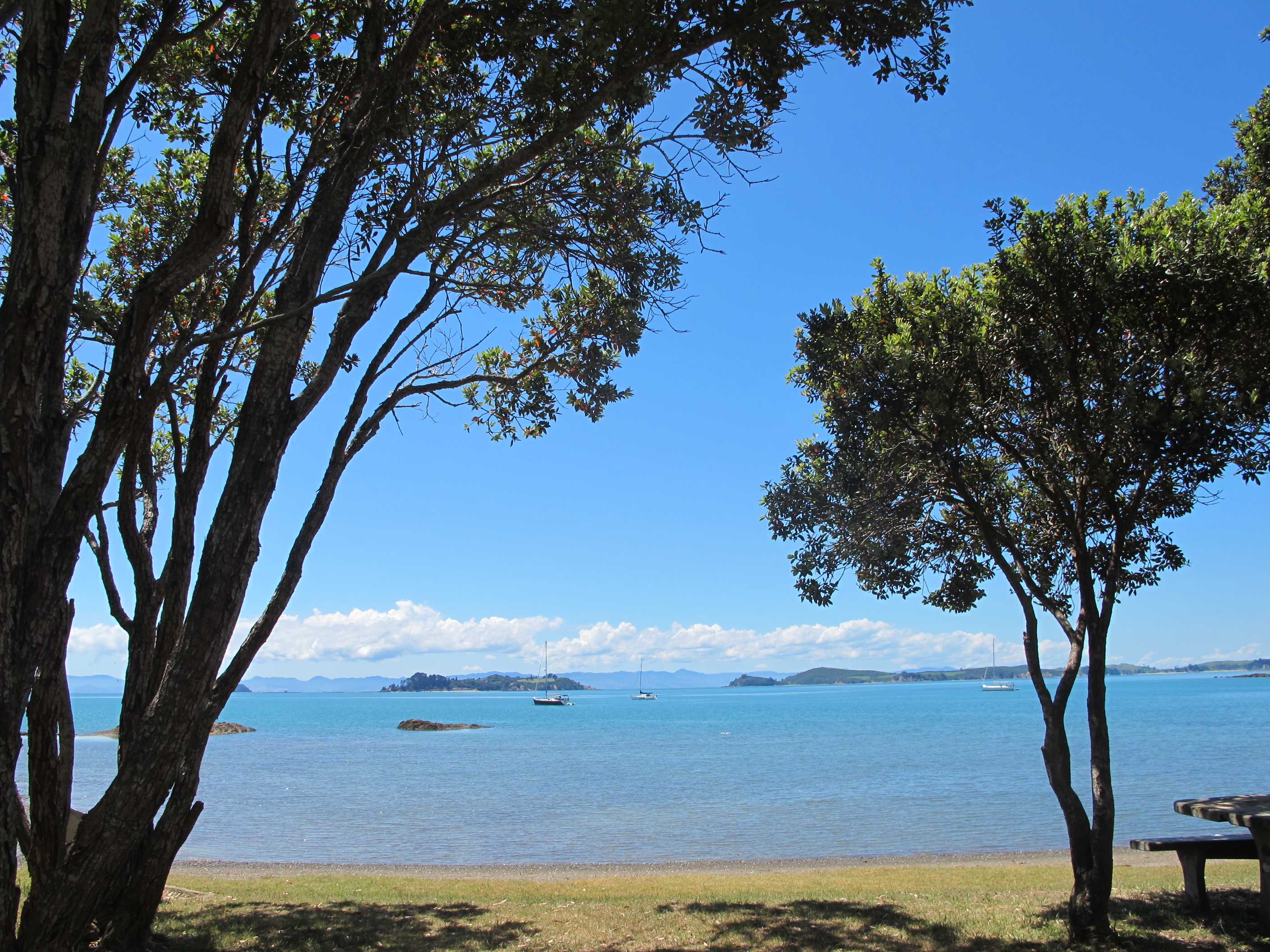
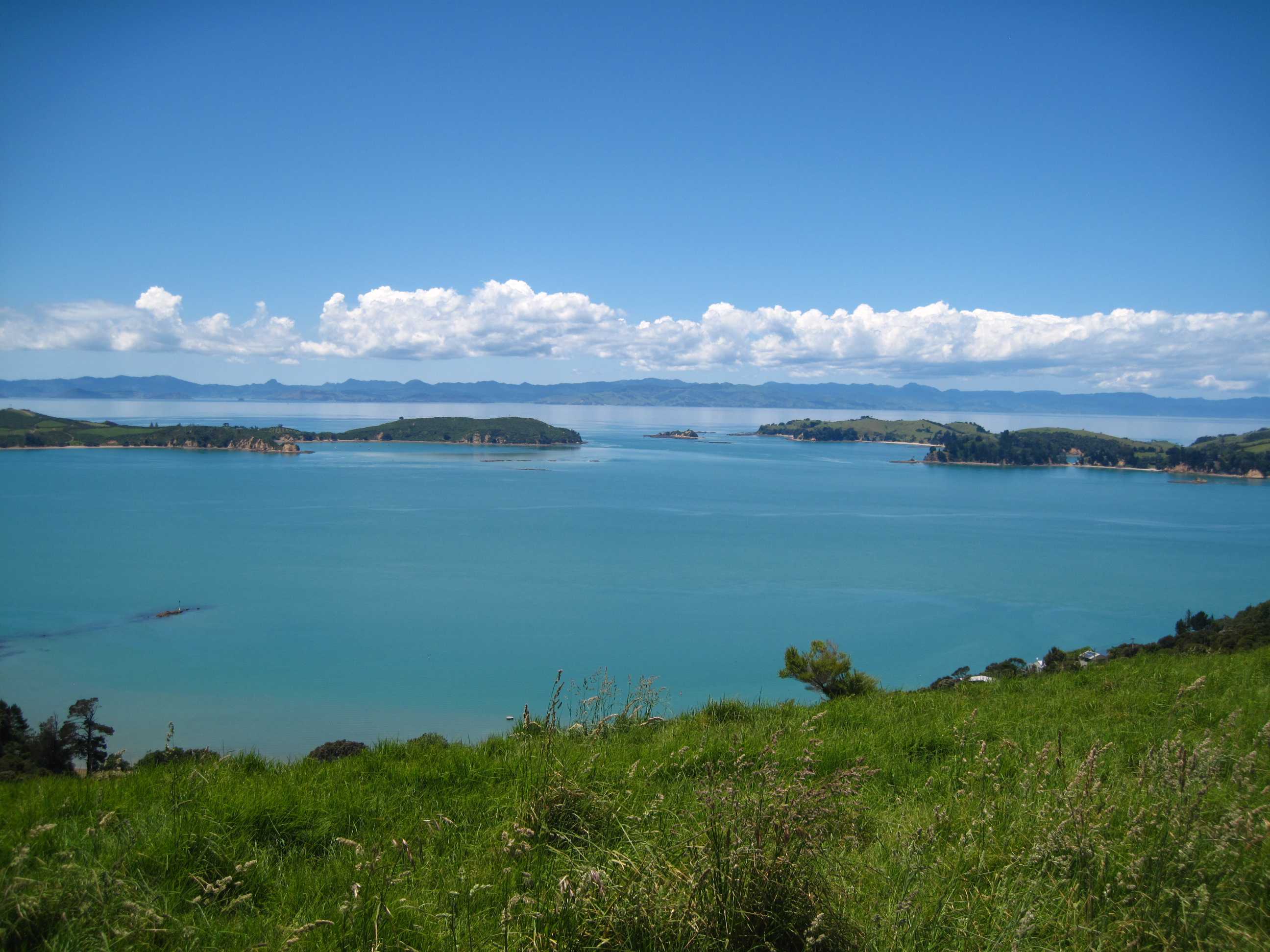
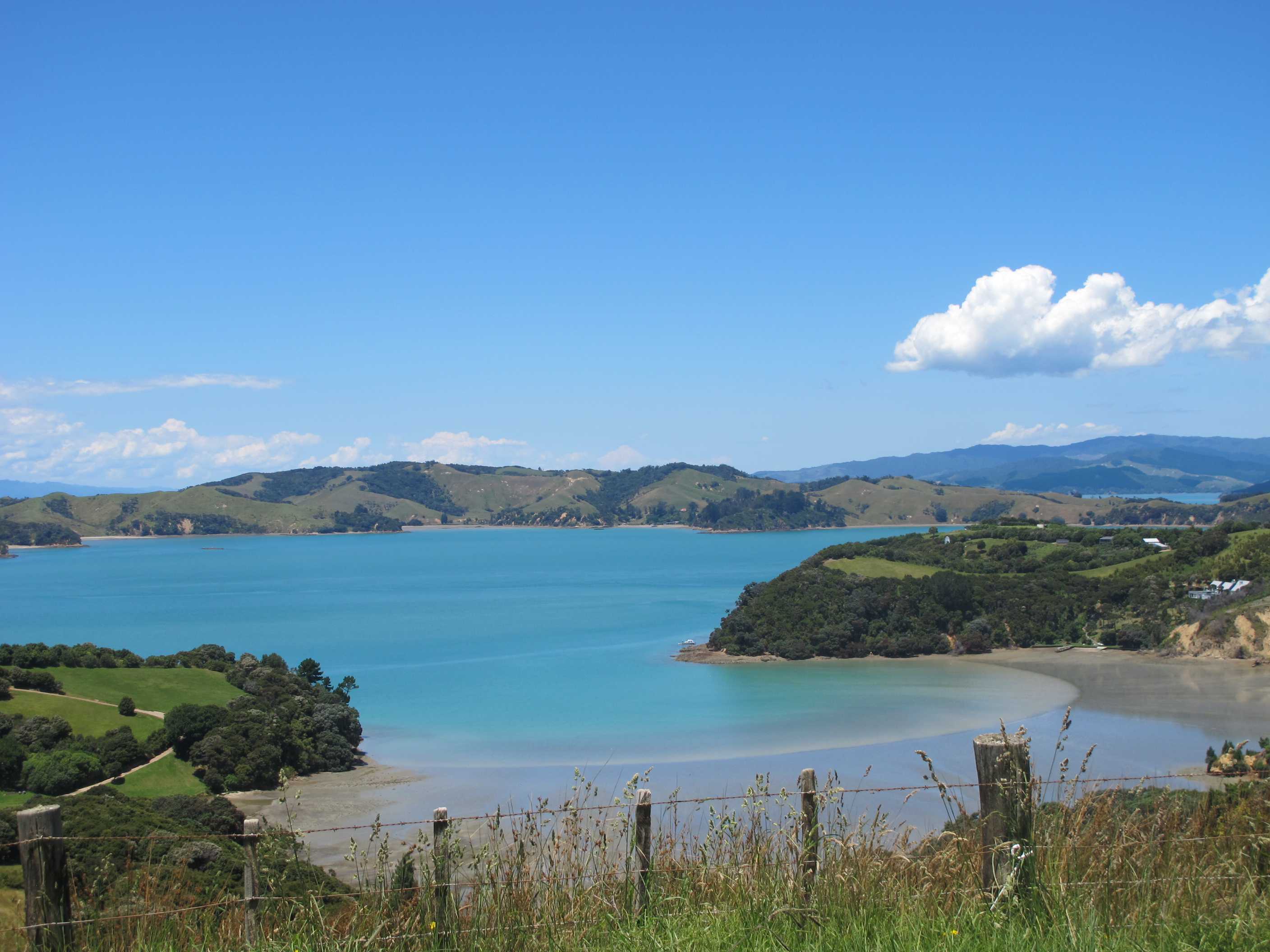
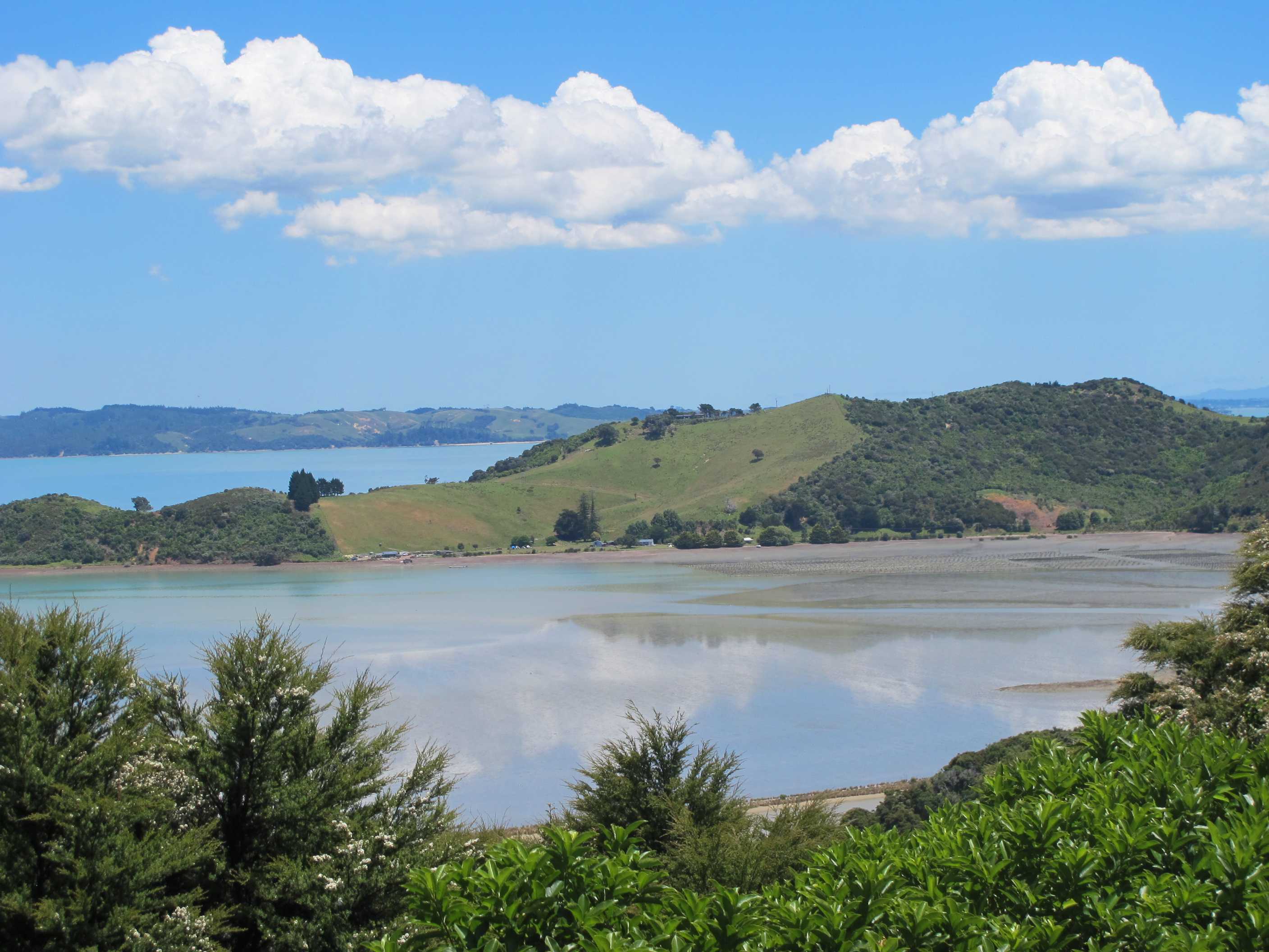
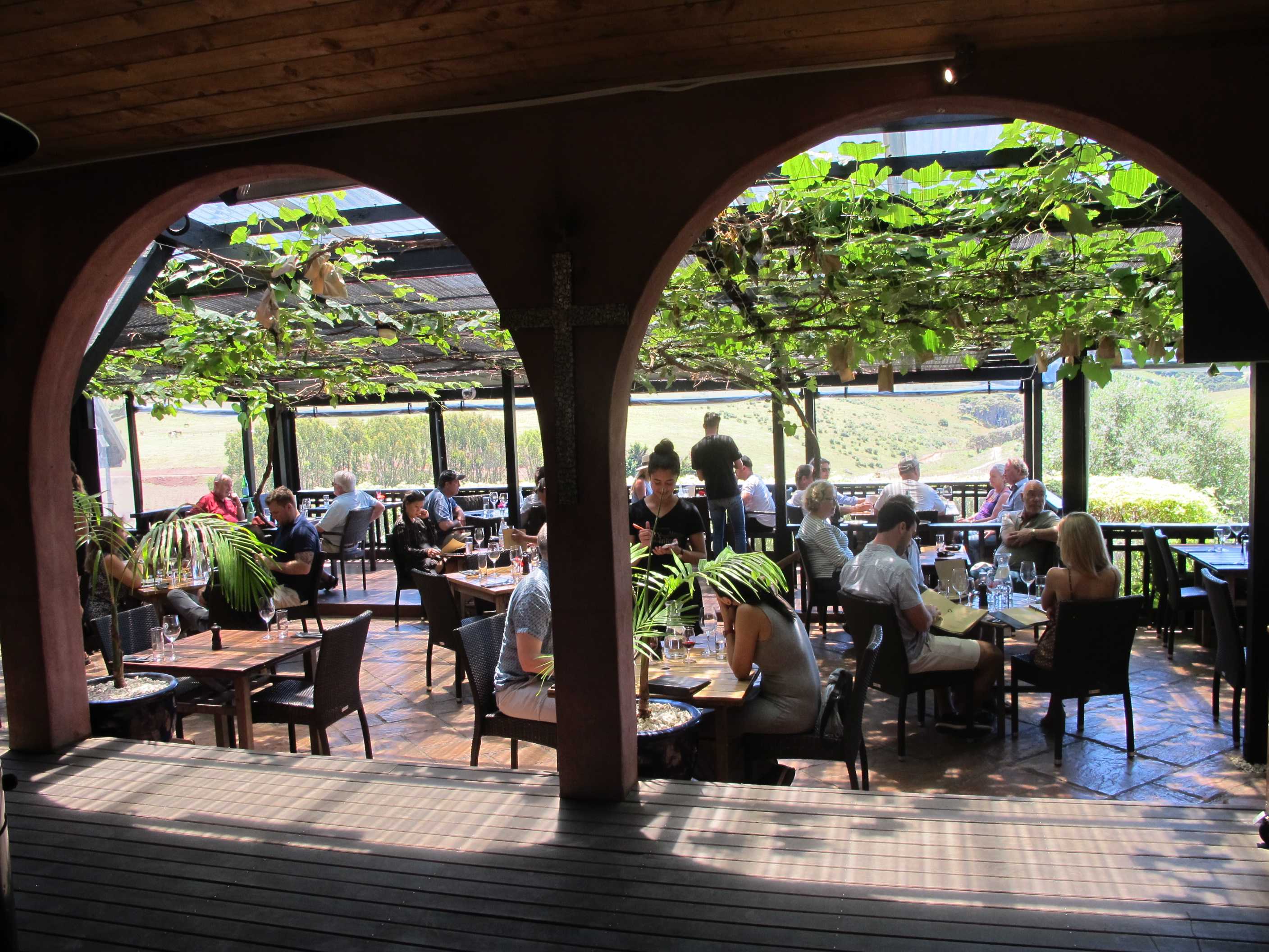
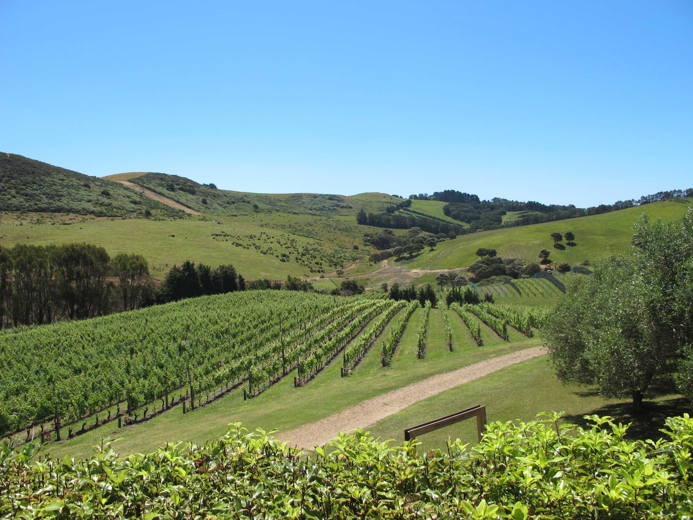

Set off to drive to the 'far end'. What an amazing drive, sadly on gravel roads but scenery so stunning you would not believe it! It really takes your breath away. Also, wears the camera out!! We arrived for the walk to Stony Batter. We walked through private land, all of it owned by the Man 'o War station, including a winery. Quite an operation! It was lovely through some hills and lots of sheep. It was interesting to see the remains of the tunnels and gun emplacements. Then we saw the weird stones, apparently showered down in the last eruptions a long time ago. We then climbed a hill and were stopped in our tracks by the views! No words can do it justice.
We then carried on, past more magic scenery but had a good laugh when we saw another couple pulled over and the guy was stood on the roof to get a better picture. When he got off there was a huge dent, in fact the roof was concave! We left them with him trying to panel beat it out! What are some people like????
We next stopped at Man o'War bay where we both had a swim, lovely. Nice to have Neil join me. We went past Cowes bay and Connelly bay to Orapiu, all absolutely stunning. This really is the most beautiful island.
We then got changed and went to Stonyridge winery for lunch. This was quite a small winery in gorgeous surroundings with an amazing bistro. We sat in the sun, drinking wine and sharing a delicious sharing platter of fish, meats, cheeses, fruits and much more, yum! This was such a great place, the atmosphere was so calm, serene and friendly. We loved being there.
Back to the site, had a swim in the bay and are about to go down with a G&T and our chairs to sit on the beach to watch the sun go down, a perfect end to a perfect day.
Decided to tour the west side of the island today, even though it will entail maybe 15 km of unpaved roads. We started out and then stopped at almost every viewpoint on the way. The views from these were drop-dead gorgeous. We stopped for a while at the Stony Batter Historic Reserve on the far west where a set of tunnels and three large gun emplacements were built during WWII. It was interesting to see what the hard work of the workers had accomplished. Unfortunately, although the tunnels were only refurbished a couple of years ago they are closed off with dire words of warning about slippery surfaces, the need for spare torches, unfenced wells etc. Nevertheless the site is in a nice setting and opposite and up a small rise is one of the best views you'll get on Waiheke, we were absolutely stunned at the spectacle.
Then we carried on to Man o'War Bay, where we couldn't resist a swim in the sea. The winery with that name is situated there right next to the beach. Then down to Orapiu Bay, being assaulted all the way by spectacular scenery. After Orapiou we were about to visit the Poderi Crisci Estate Winery, but it was down yet another narrow, winding gravel track and Neil stated that he'd had his fill of gravel and dust for the day, so we carried on to Stoneyridge Winery, near Onetangi Bay instead. When we got there we were glad that we had. This is a lovely winery, voted one of the top 10 "must visit" wineries in the world by The Guardian newspaper. The people there are lovely. We had a very long chat with Laura, our waitress, who came from Estonia. She said that working there was like helping out with a large family, everyone looks out for each other. The wine and food was excellent. We stayed there for quite a while before slowly making our way back to our campsite. We parked up, did our chores, Sue had a swim and then a dunk under the freezing outside shower. It's coming up to G&T time and we'll get the chairs out and drink them on the beach. A lovely end to a lovely day.
night |
kms |
Overnight Stay at |
Cost/night |
Facilities |
Wow Factor |
Photos |
|---|---|---|---|---|---|---|
| 44 | 52 | Poukaraka Flats, Waiheke | $20 | 2 | 4 |
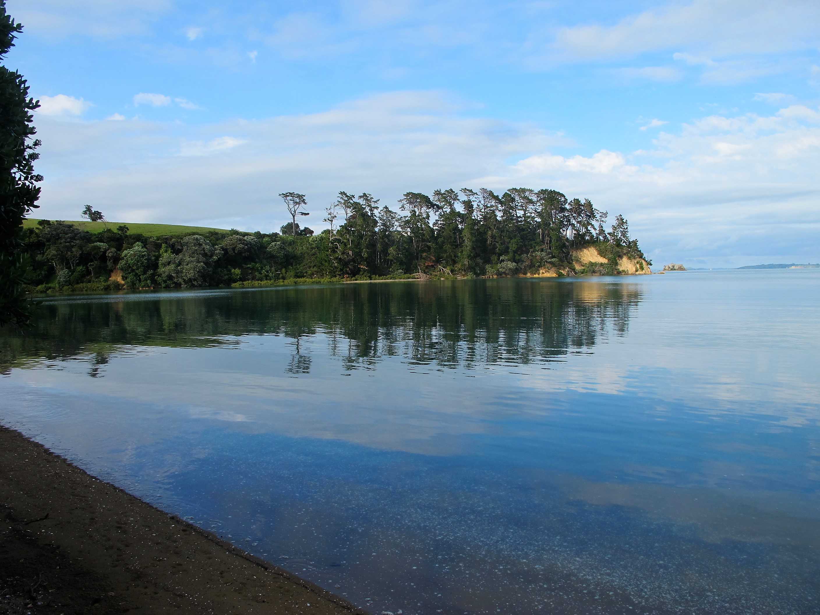
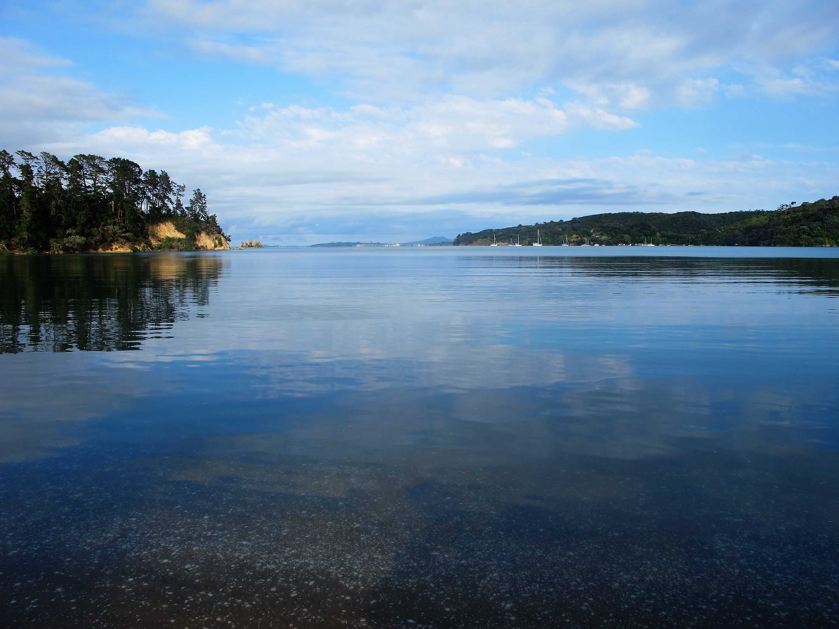
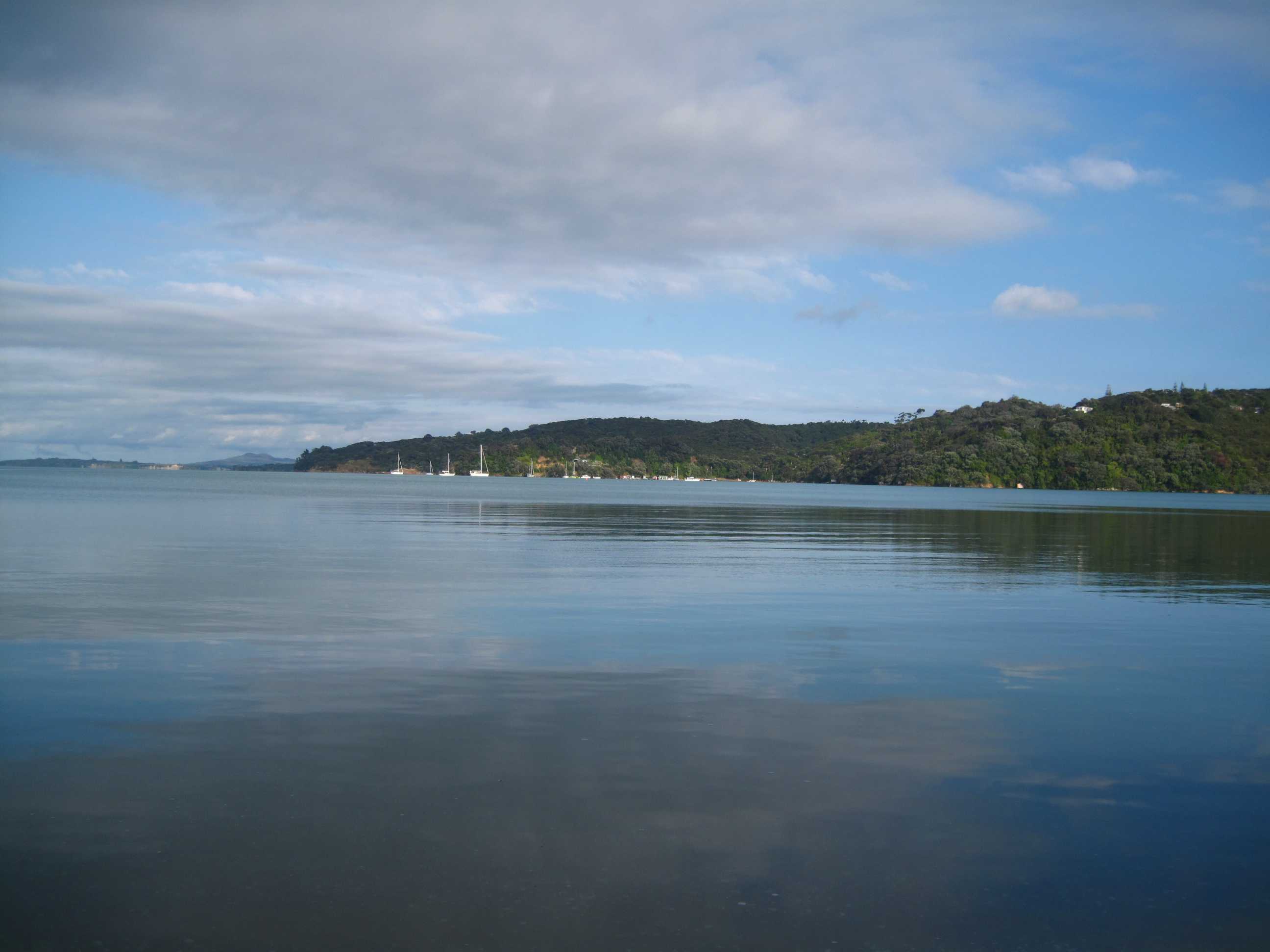
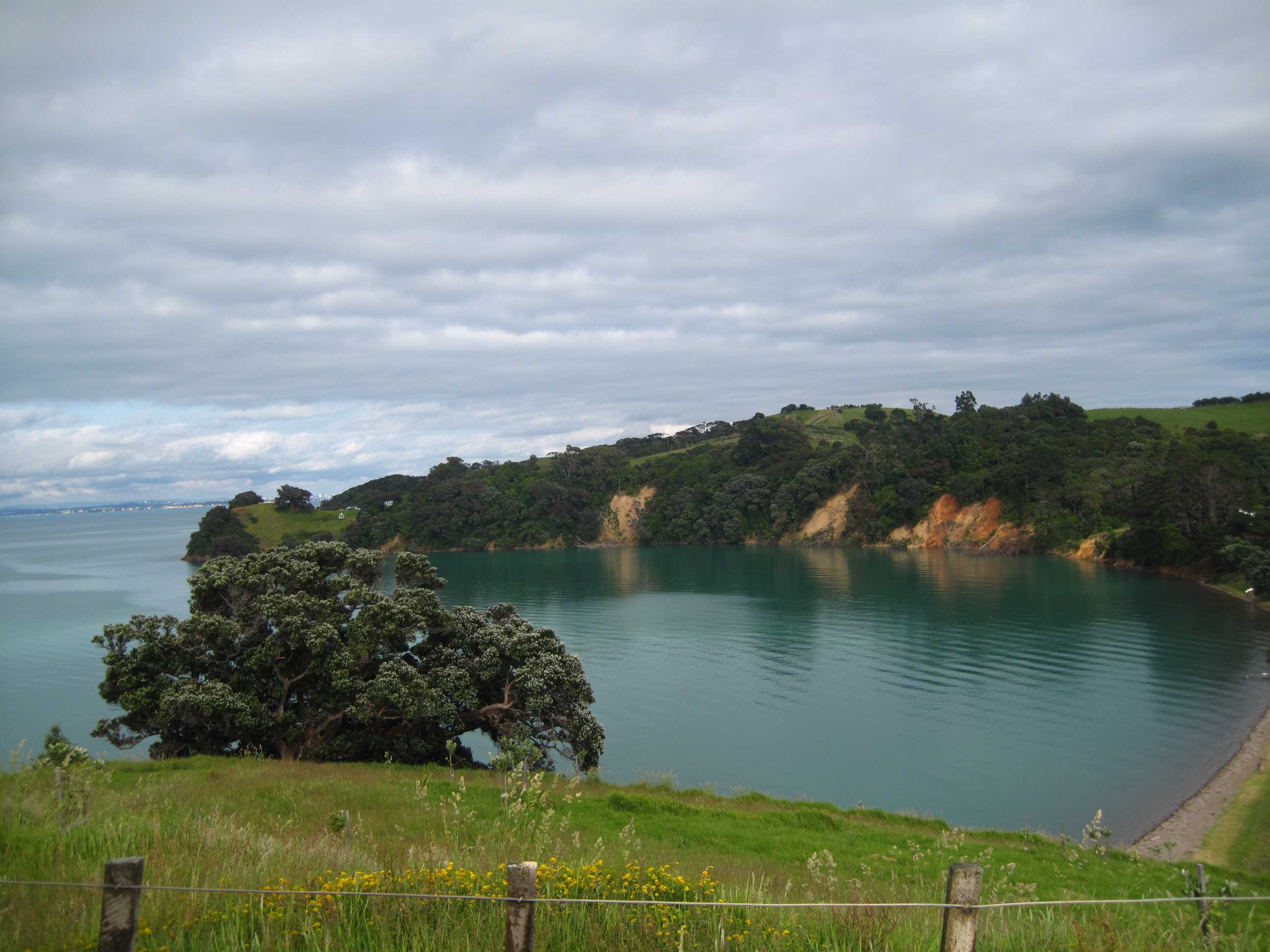
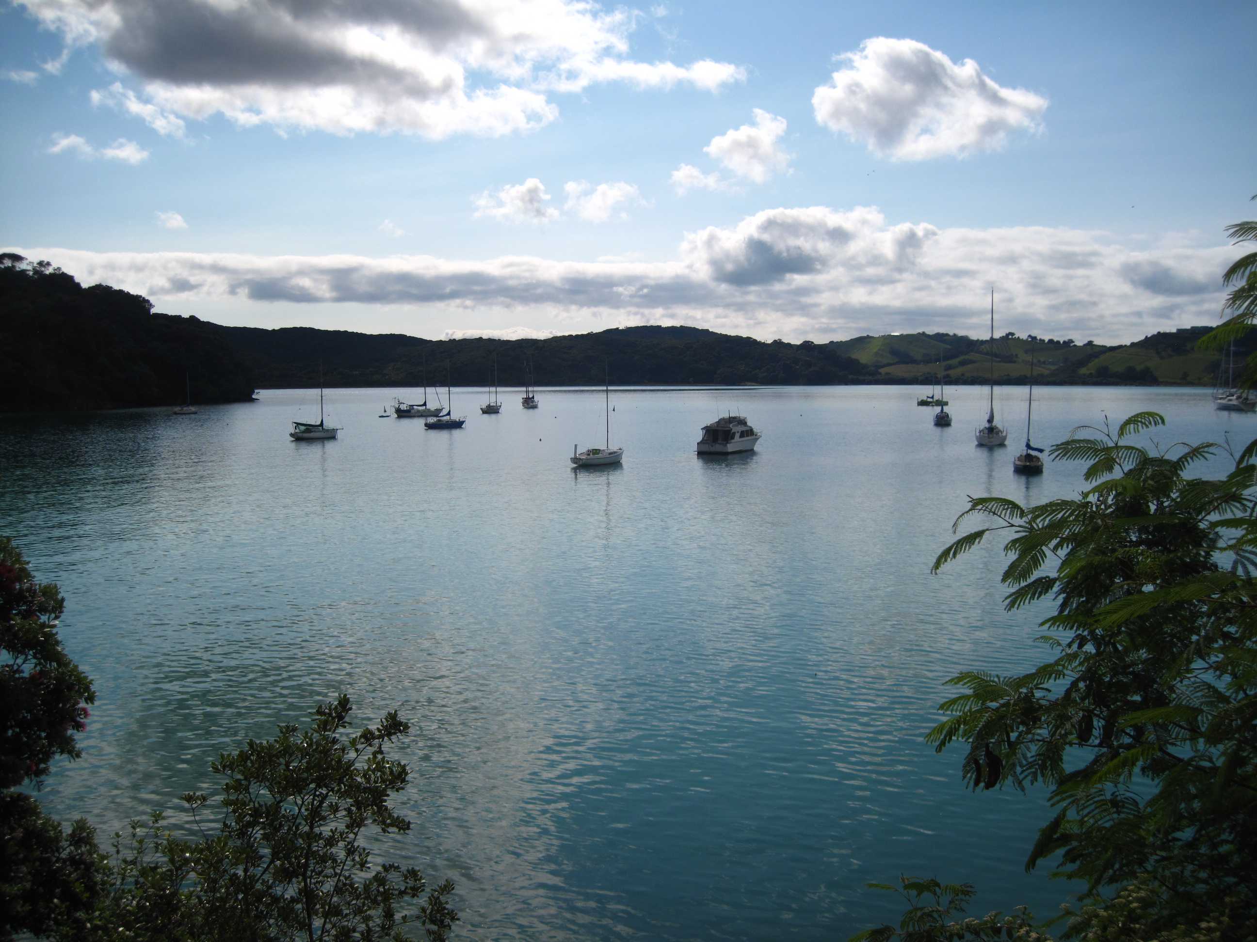
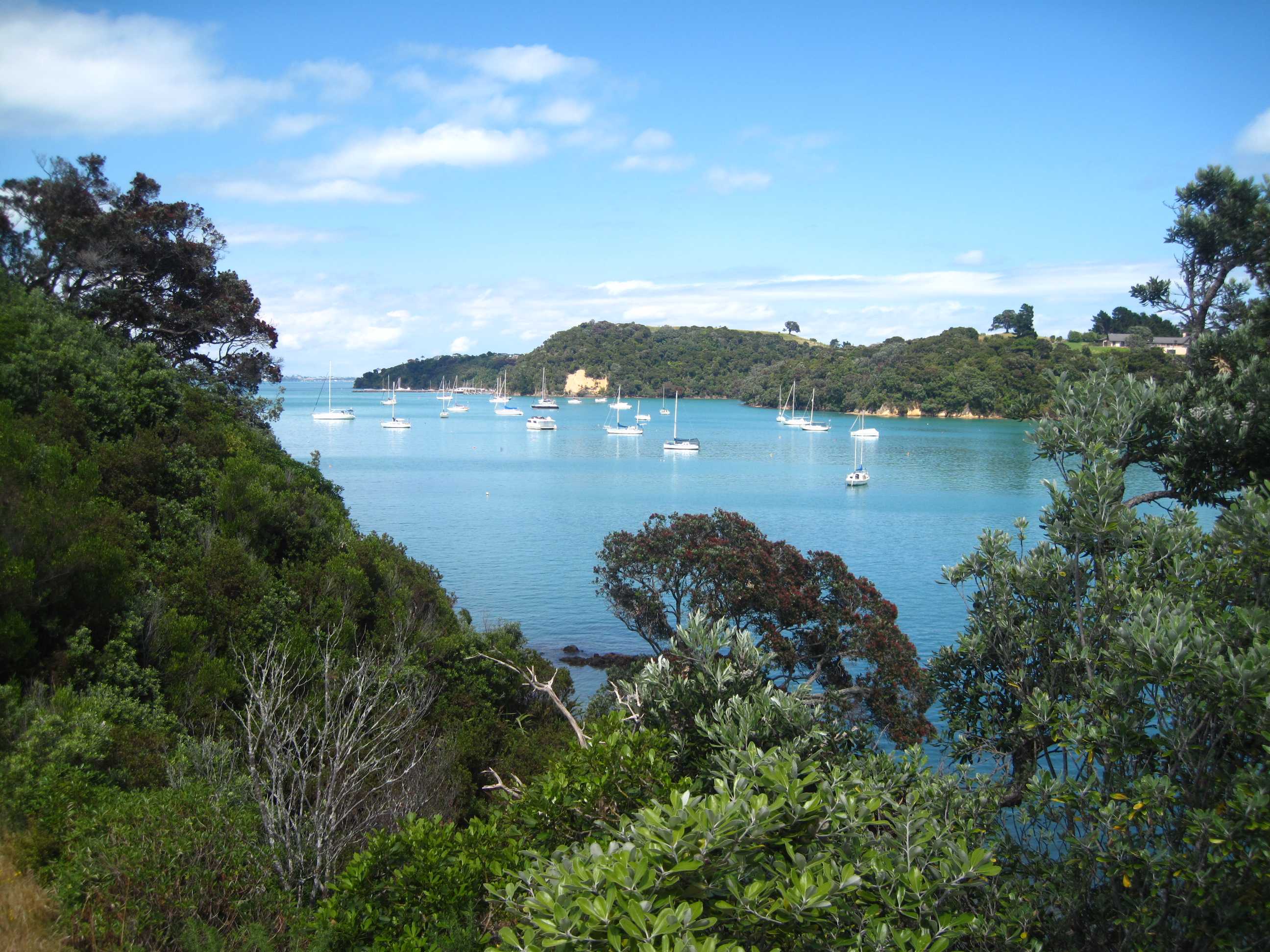
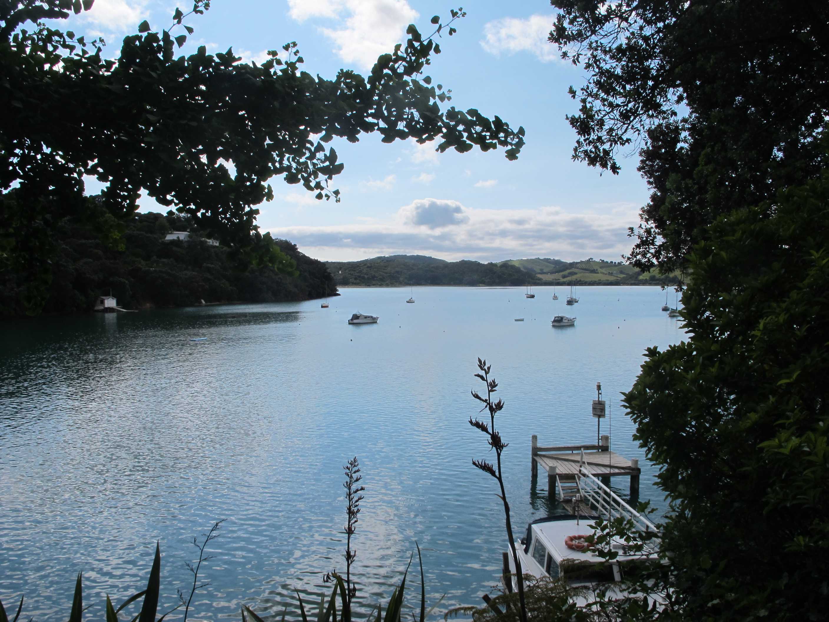
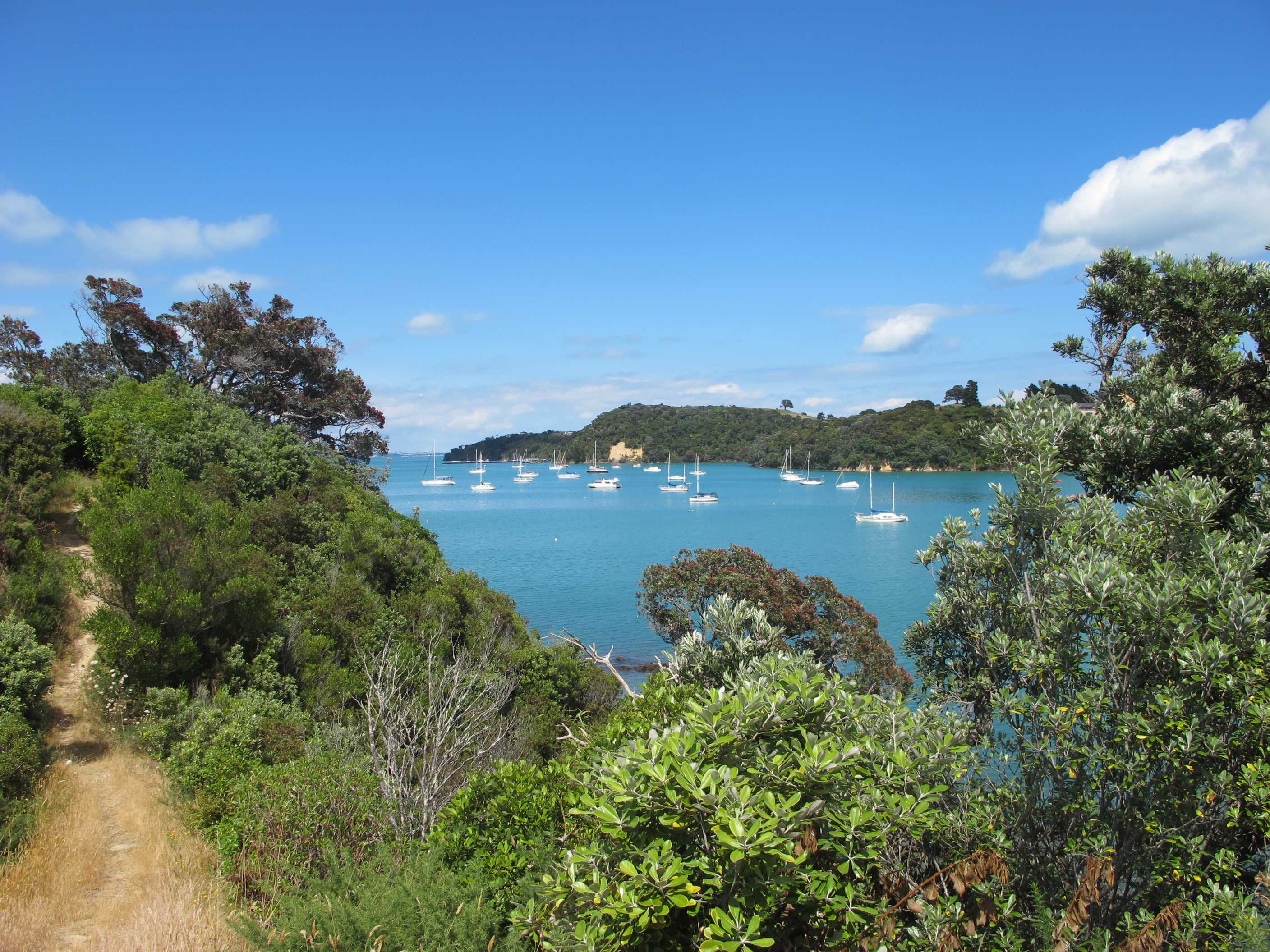
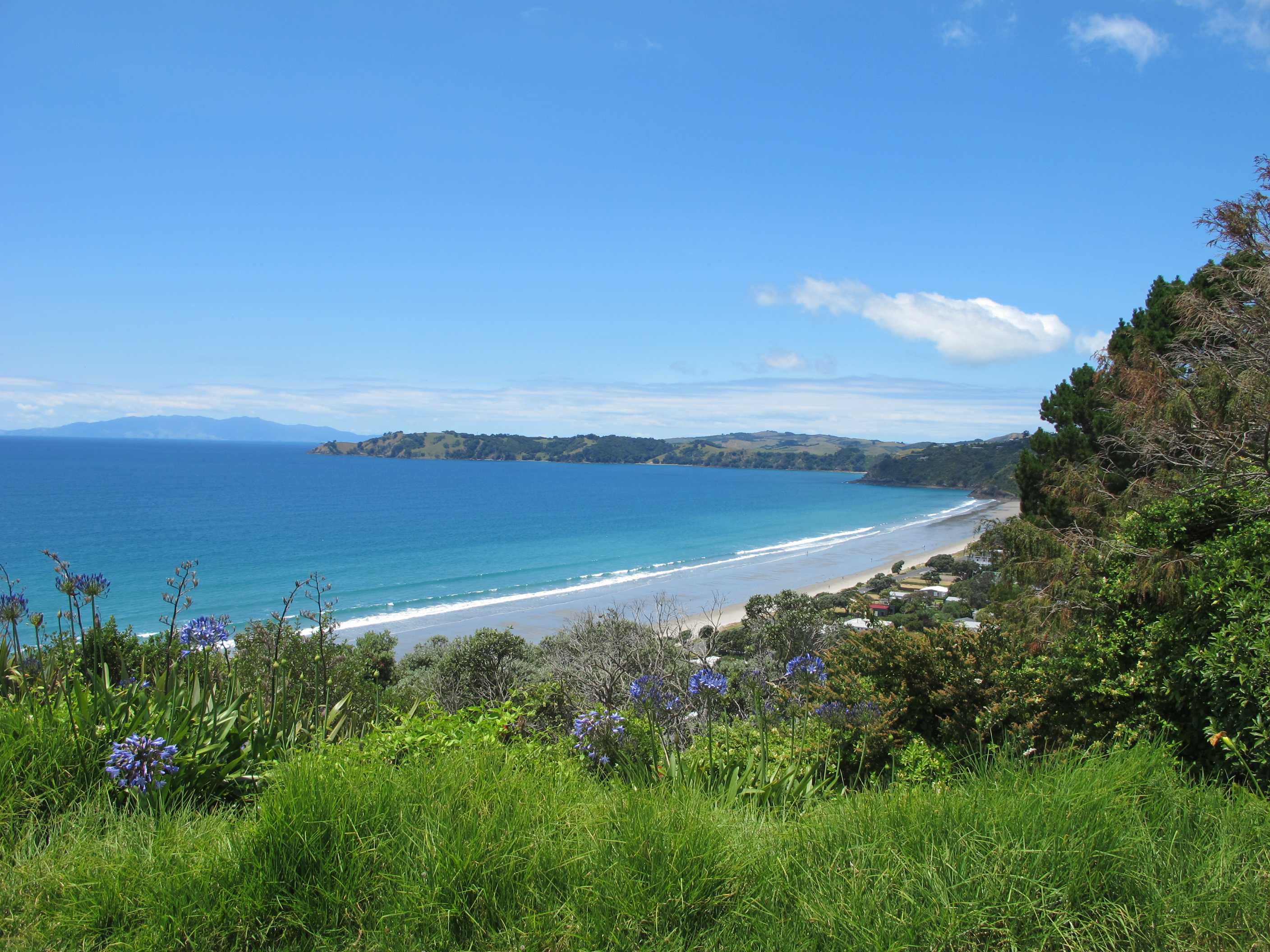
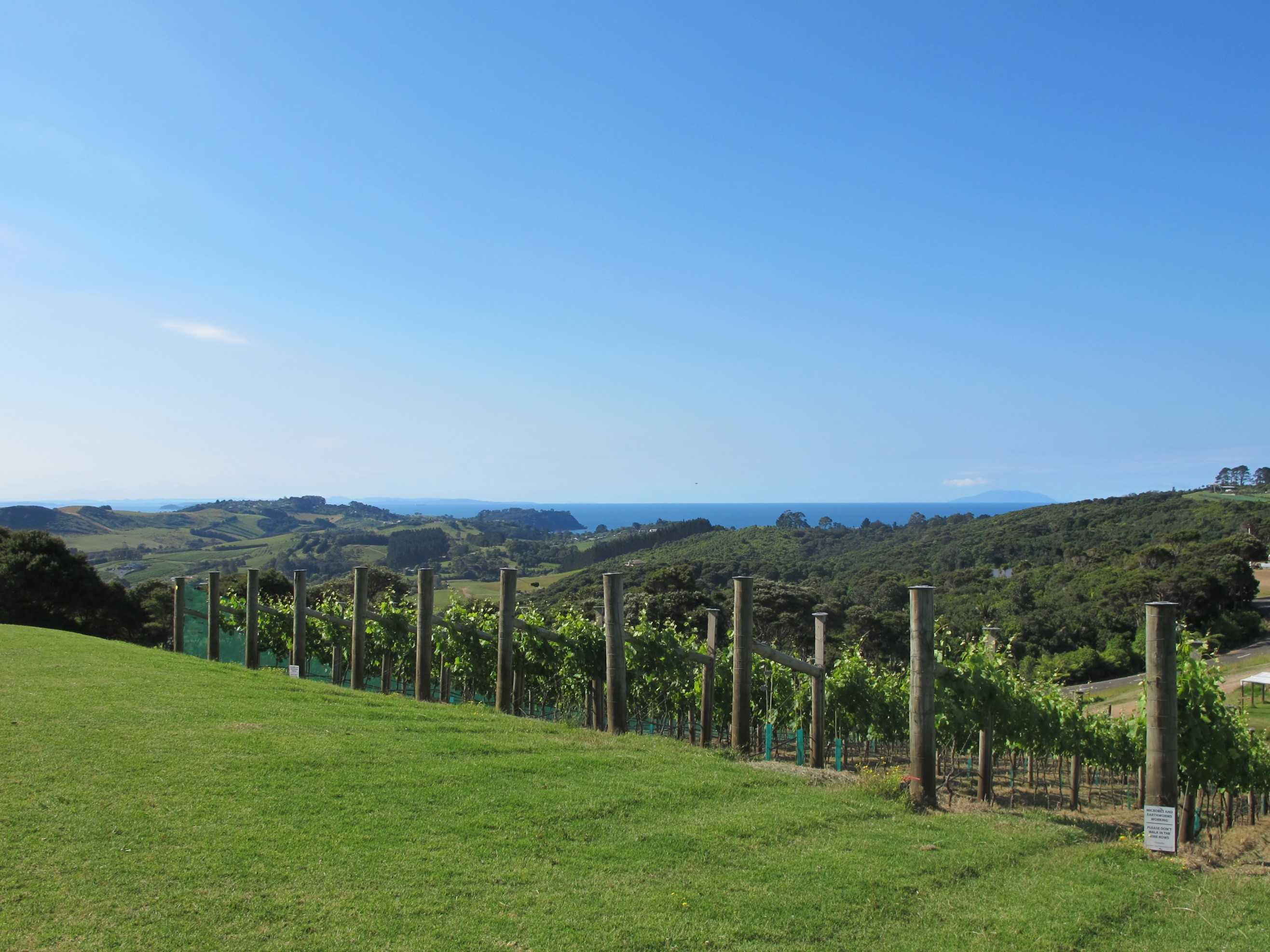
Woke up to our last full day of enjoying ourselves. Went for a drive. Round the island visiting most of the coves and bays. It really is a truly delightful island. I thought about a swim for the last time but clouds came and went and the bays, although lovely and very picturesque, did not spur me on. I wanted a big sandy beach!! Finally we found it and the sun was almost constantly out. It was Onetangi beach, a big half moon bay and sand all the way! We both walked along the shore, paddling, then in I went! So clear it was amazing and some waves too, could not have asked for better.
Then we changed and went for our third day running to a winery! Well, someone has to do it!! It was just above our campsite so Neil felt he could indulge a little more and had a nice glass of rosé. It is the highest winery on the island and the views stunning all around. Very nice, food was delicious as was the wine. I am totally addicted to the oysters here, never had them before 3 days ago, and can't get enough now - Neil just can't keep up!
A leisurely evening now and early to bed. An exciting morning to finish off our stay, we are going ziplining! If I survive will write again tomorrow!
Spent the day driving down roads and stopping whenever something took our fancy, we even went to Blackpool. Chatted with a few of the locals who pointed out a few places to visit. Eventually made it back to Oneroa Bay for another ice-cream, but horror of horrors, they rotate the flavours and there was no Mandarin with Thai Basil today, so Neil had to make do with Strawberry instead. Our last beach visited was at Onetangi Bay. It was a lovely long stretch of sand with hardley anyone on it. Of course Sue had to have the obligatory swim.
After Onetangi we made our way back towards our campsite but turned off shortly before it to visit the Thomas Batch Winery, where, yes - you've guessed it, we had a wine tasting followed by a late lunch and a glass of wine. Got back to the campsite at around 5:30 only to find the padlock code we had used in the morning no longer worked. Neil had the brilliant idea of using the other code we had been given and lo and behold "open sesame". We are sat her having a cup of tea and since the sun is now over the yardarm and it is G&T o'clock we'll take our chairs to the beach 20 metres away and watch the sun go down. Again a very relaxing day with only the minimum of gravel roads for Neil to drive. Off ziplining tomorrow then we'll catch the ferry back to Auckland for our last night.
night |
kms |
Overnight Stay at |
Cost/night |
Facilities |
Wow Factor |
Photos |
|---|---|---|---|---|---|---|
| 45 | 66 | Ramarama Caravan Park | $37 | 3 | 3 |

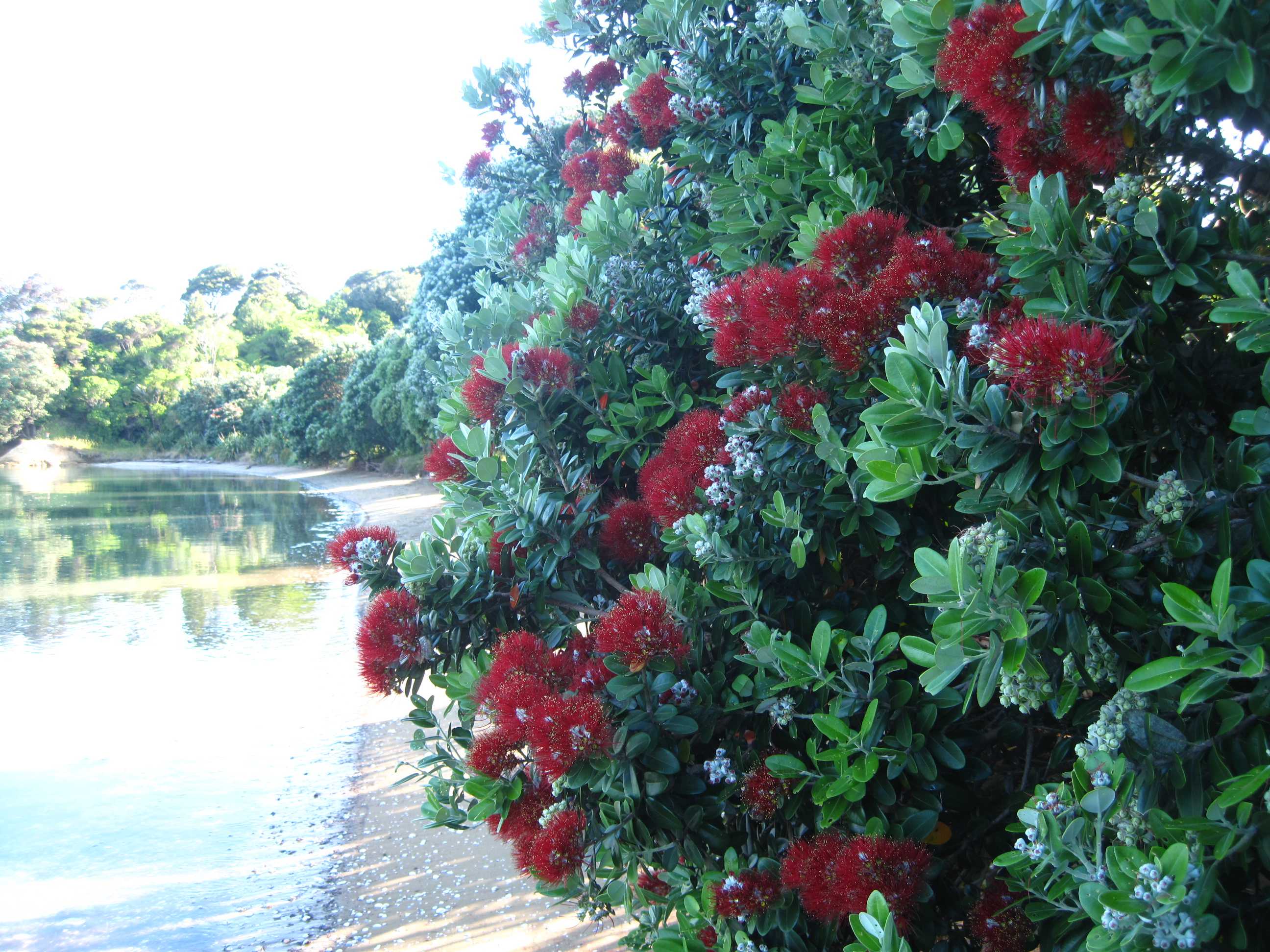
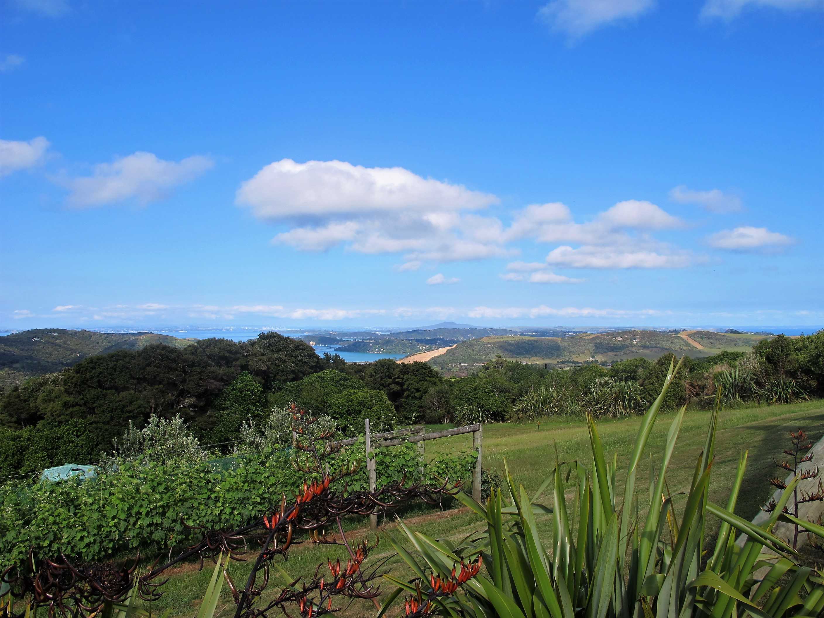
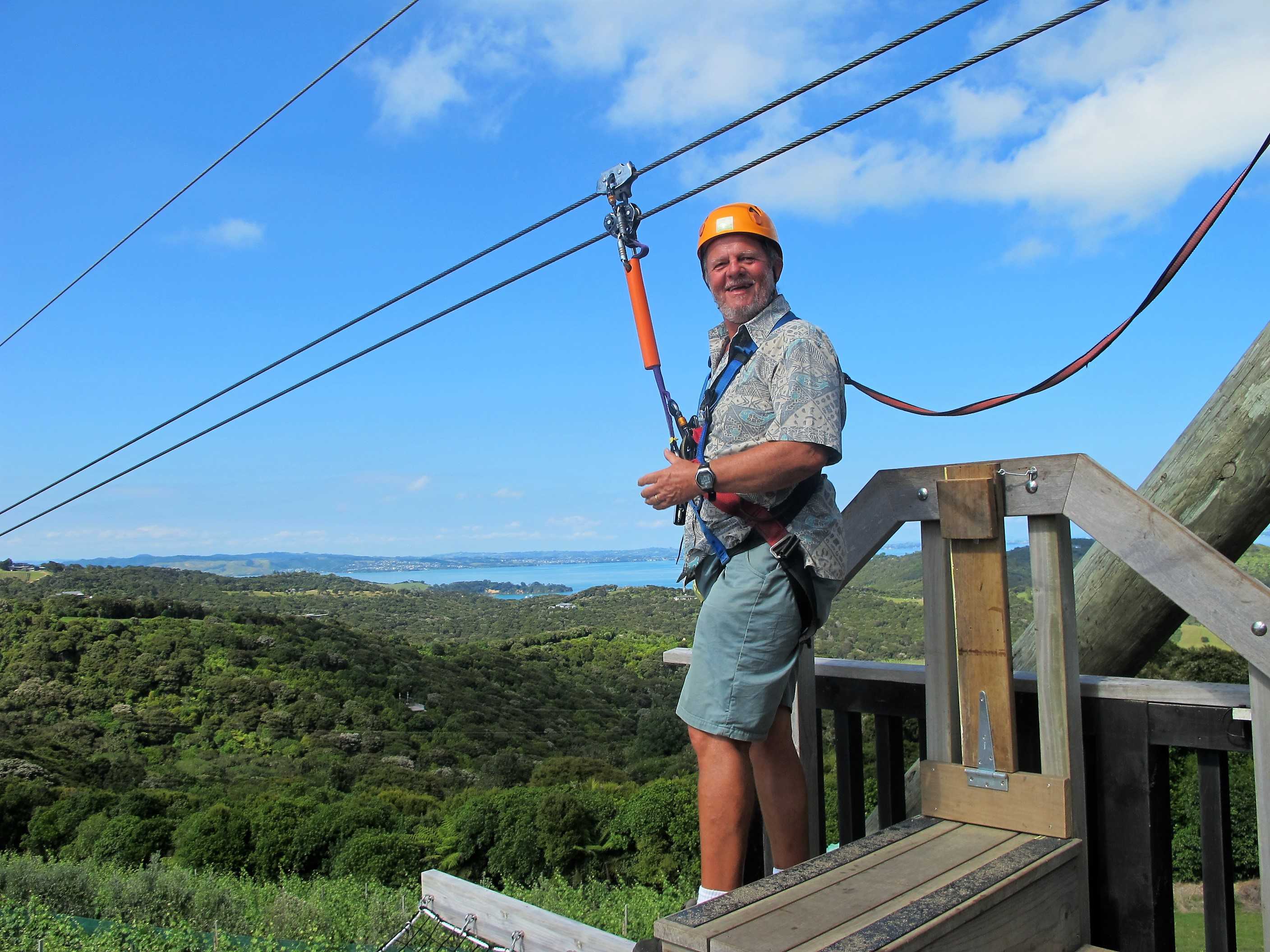
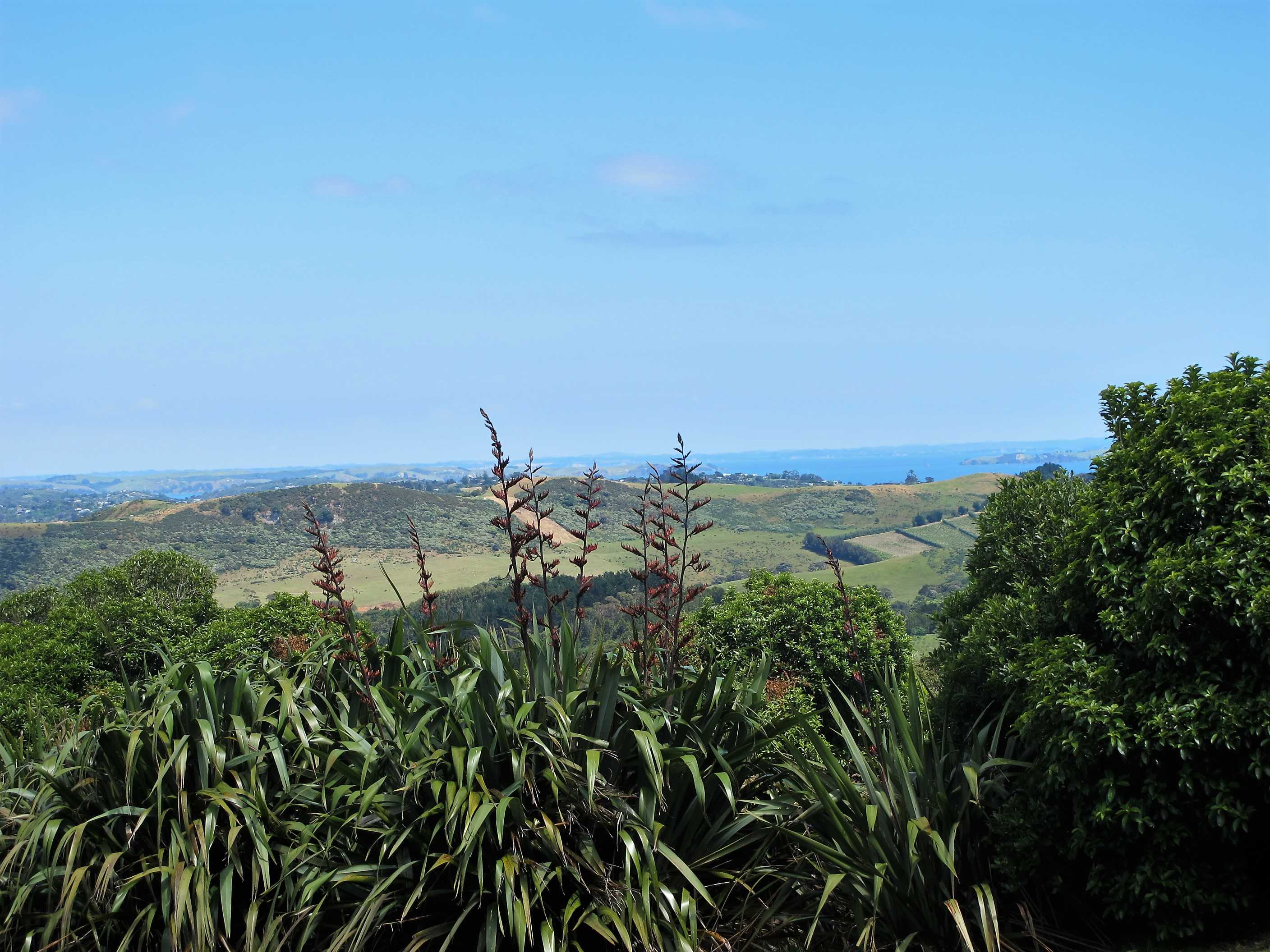
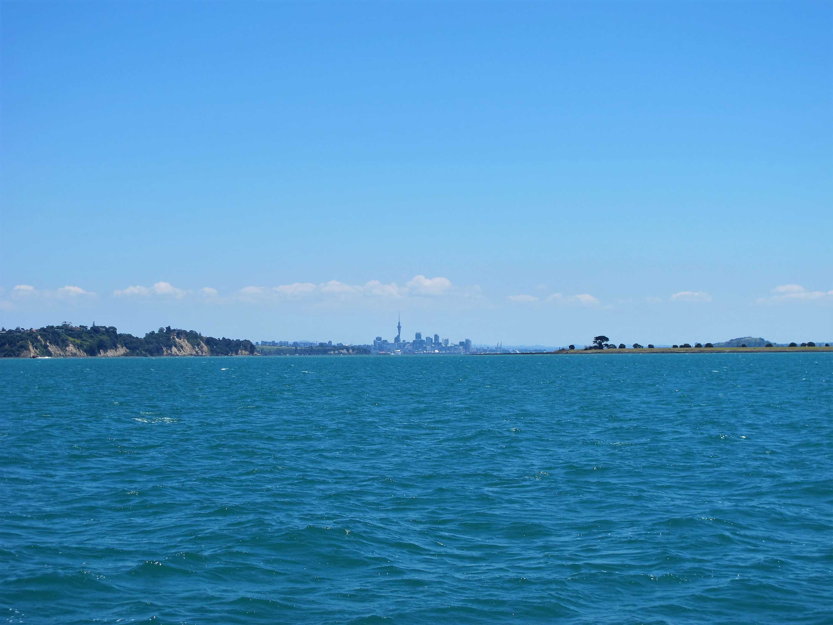
Left the campsite after one final look at the mill pond like sea, gorgeous. Was only a 10 minute drive to Eco zip, but it was a very narrow winding uphill road! Arrived to stunning views and the slightly daunting sight of the wires we were to zip down. We met our helpers and were guided as to how to put the harnesses on, I needed a littler help! Then a quick safety chat and up to the platform!
We went second couple so did not have long to wait and get nervous! I was very excited but also a little scared! Neil has mentioned my mishap, at least I gave everyone a laugh. Then we sat back in our harnesses and launched ourselves. Wow! It was amazing, so fast and such a rush I did not really see the scenery I am afraid. I was also a little vocal, I have screamed more on this holiday than in most of my life!! The landing went well but was the scariest bit, you are hurtling down and heading fast for the landing platform, thinking you will crash when the brakes kick in! On the next one, I decided to video which was going well and I managed to get Neil next to me, when suddenly I was going backwards! What fun. The last one was the fastest and longest, I loved it and wished I could do it all again. We then walked up the hill through the native forest to the station. Lovely if a little tiring.
Then rushed a quick stop in Oneroa for lunch and ice-cream, then on to the ferry. Lovely sail back, lots of sun and reasonably calm. I must admit to being a little tearful as we set off for Auckland. This has been the most amazing trip. I have loved it all (well, nearly all!) it is time to go home but I will miss all this so very much. I feel so very lucky and privileged to have done what we did and seen and experienced all that we have. Also, I am so very lucky to have such a great marriage that can withstand 6 weeks in constant company, and basically living in a tin can!! No big upsets, just a little niggle here and there. Anyone who knows me will be surprised that I have been generally very good! Very little nagging and mostly good humour! Often calmer than Neil!
Just finished dinner, washing and basic tidying up. Will finish the rest tomorrow then have to pack when we get cases back, that should prove interesting - somehow we have more than we left with, how does that happen........?
Got to Ecozip with a bit of time to spare. Had a look round and chatted to the staff while we waited for the others who had booked to arrive. The harnesses were laid out ready for us to step into then tighten the straps. Stella and Michael helped some of the more inept of us and checked that everyone was securely fastened to their harness. Then it was time for the victims, sorry zipliners to take off two by two. The harnesses were doubly connected to the ziplines and we were asked to check that they would bear our weight comfortably. You were supposed to sit in the harness to check. Sue did this but she also lifted her feet off the ground and straightaway was sliding down the zipline, but only for a couple of feet until the restraining harness kicked in. Michael then had to haul her back onto the platform. We were all in hysterics, Sue included. Then it was time to glide. It was fabulous. There were three ziplines, each one longer and steeper then the previous. You had fantastic views of the island and beyond and best of all if you looked down you saw the canopy of the forest below whizzing by. This is definitely an experience not to be missed!
Sadly we then drove the motorhome into Oneroa, where we grabbed a quick bite of lunch followed by Mandarin and Thai Basil ice-cream and it was back to the Sealink ferry at Kennedy Point to leave this gorgeous island. On arriving at Half Moon Bay we programmed the satnav for the campsite at Ramarama, got onto the motorway and were stuck in slow moving traffic for over an hour. The lady in charge of the campsite said that it's always like this. We did manage to get some lamb chops, steak and other stuff for tonights BBQ, which may be a bit boozy as we have to finish the gin and wine - such a chore.
night |
kms |
Overnight Stay at |
Cost/night |
Facilities |
Wow Factor |
Photos |
|---|---|---|---|---|---|---|
| 47 | 50 | First Class on Qatar Airlines Airbus A380 | 5 | 6 |
Spent some time sorting everything ready to pack when we got the cases back, on returning the van. Emptied food cupboards, fridge and bathroom. Luckily not too much left. Can't quite believe it, but I put a few items in the kitchen in the free to use box and some things in the laundry and bathrooms, and within 15 minutes they had all gone! The idea is for people to use the items on the premises, but some people obviously thought differently and got some free shopping!!
Got stuck in traffic again, it seems it is the norm in Auckland, even though it was nearly 10am. Finally arrived, retrieved the cases and packed. Amazed, it all fitted in OK, probably because Neil's hand luggage a big rucksack, is going to be used for the hold too! So van spick and span and luggage ready, just time for Neil to go and own up to a little damage inflicted on the van. A few days ago, I was driving and came to a dead end. A 3, or maybe 5 point turn was required. I did not want to attempt it, so Neil said, quite cockily I thought, I'll do it, no problem! I got out to stand behind and tell him when to stop to avoid the ditch, suddenly there was this awful grinding noise. I ran to the front to see what was happening and was horrified to see the left front bumper impaled on a wooden fence post! He then had to reverse off, which caused a little more damage. I told him it was bad, but I think he thought I was making a fuss. When the turn was completed, Neil got out to look and was a little shocked. He managed to push an underneath bit back and pushed the main bumper in a little further. We drove the next few days in fear it would drop off on the bouncy unmade roads! All I said to him was, "thank goodness it was you, not me"! They were very good about it back at wilderness and thank goodness we had paid the extra for totally inclusive cover.
They then took us to the airport. We were confused when we arrived as we could not see our flight on the board at the time to match our tickets. Turns out the flight is well over an hour delayed. We were a little worried it would affect our onward flights. Hopefully we will make it, but I am disappointed as we will miss out our time in the business lounge at Sydney! Shame delay was not there once we were travelling on our business tickets! Bored now and quite uncomfortable, not a single comfortable seat anywhere and very few of the uncomfortable ones too!
So I would like to mention here a few things that kept us amused/entertained on our travels, hope you enjoy them too.
Finally took off 2 hours late! Worried we might miss connection. Flight was OK, nothing special, can't say Qantas is an airline I rate highly. When we checked in and again on the plane we were told we had to collect our bags from the baggage hall, clear immigration and customs, then go upstairs and check in with Qatar. We also then realised we had no baggage tag dockets. A problem.
When we arrived we were told no, we could not do that, we had to go to the Qatar desk and tell them and they would sort baggage and give us our boarding passes. Got to the desk, no one there. Then we went to find a Qantas representative to find the missing baggage tag numbers. This was done for us, so we went back to Qatar. They checked us in but after we kept insisting the baggage would not be automatically transferred, they checked and decided there was a problem. We then had great news, they had upgraded us from business to first class!!! Could not believe it, was so excited. The downside is no luggage! We have to contact Qantas when we arrive back in cyprus and try to get it sent home to us! What a nightmare, can see it being a long time before this happens and lots of hassle.
Never mind, for now, luxuriating in first-class! OMG, you would not believe it. Seats amazing, something from the future, don't know if I can work it all, a TV nearly as big as our one at home! First class champagne, Krug for me and rose Tattinger for Neil! Nibbles and menus for food and wine to die for! The toilets, well, they are room sized and so gorgeous! Then I realised I could not see a toilet! Lifted up one of the sofa seats and there it was!
We have amazing toiletries in a great cosmetic case, pyjamas, furry slippers, it goes on and on! So for now will enjoy all the pampering, food and booze and a proper bed for the night and worry about cases and things tomorrow.
Had a hearty breakfast then we cleaned the Motorhome and put all our belongings in neat piles on the bed, ready to be packed into our suitcases that we had left at the Wilderness base. Selected "HOME" on the satnav to take us back to base and it said we'd be there in 35 minutes. 35 minutes later we were still in very slow moving traffic about 10 km from where we started. This has been our experience driving in the Auckland area. Eventually the traffic picked up and we got to the "In 200 metres turn right" only to find there was no right turn. They are building an underpass here for the traffic, so we tried again. Again we ended up at the same spot. Neil then told it not to use motorways, but it ignored this and we ended at the same spot. Finally he told the satnav there was a roadblock and lo and behold it directed him down side streets to the Wilderness Base.
At the base Sue got the suitcases and we spent an hour carefully packing them as we had a few fragile presents to ensure were properly protected. Then we met Fernando, Francisco's brother who also works for Wilderness. Neil owned up to his "minor prang" in the motorhome while reversing around a corner from one single track road to another. Sue was watching his rear (actually the motorhome's rear) to make sure he stopped before dropping into a ditch while Neil did not see a post about 30cm high that caught underneath the nearside wheel-arch, a bit of a blindspot there. Luckily the damage was not too bad as to prevent driving the motorhome, but it will require a new bumper part. We had taken out the fully comprehensive insurance cover so there was no excess to pay.
Fernando asked about any other problems we'd had and Sue mentioned the incident we'd experienced with the grey water at the start of the holiday. He was very apologetic and arranged for a $200 refund to make up for the inconvenience, which was very decent of him. I think he got quite a surprise when he checked the mileage and saw that we'd done around eight and a half thousand kilometres! We had a lovely chat with him. Interestingly he used to be a professional footballer (goalkeeper) when he lived in Mexico. Then, after being injured he got a degree in business studies and worked for Walt Disney in their executive corporate division, before deciding to come to New Zealand over a year ago.
Fernando then gave us a lift to Auckland airport, where we found that our Emirates/Qantas flight was delayed by 80 minutes, which makes it a tight connection with the Qatar flight from Sydney to Doha. The lady at the Qantas Sales desk told us that the earlier flight was full and there were no other airlines flying there before the flight we were on. She did reserve us seats close to the front of the plane so we'd get off quickly. Sue then mentioned that one of the cases contained fragile items, so they asked us to take it to another desk, so that one will be loaded seperately from the other. We only hope they both turn up at Sydney and quickly, since they are not checked all the way to Cyprus and we'll have to collect them at baggage reclaim then check them in again, this time with Qatar Airlines! Finally took off 2 hours late.
The purser onboard came to see us and explained that when we landed we would have to go through immigration, pick up our bags, then go through customs and environmental checking, then go upstairs to the Qatar check-in desks, check in and drop off our bags, which should be OK within the hour and a half that we'd have after landing. When we exited the plane we were told by ground staff that this was not the case, we had to go through "transfers" to Qatar Airways at gate 10, check-in, then, because Qantas in Auckland had not given us the baggage receipts we had to go to Qantas Gate 24 and get them to find the numbers on the receipts and take them back to Qatar.
We were then delayed for 15 minutes while Neil was pulled aside for a random security check. Unfortunately he tested positive for explosives! They did the check again and again got a positive result. Then they decided the machine was faulty so they moved him to a new machine and this time he was given the all clear, but all this ate into the time we had to ensure our bags made the plane. At gate 10 the quy at Qatar said the staff would not be there for 15 minutes, so we should go to Qantas. There was no-one at the Qantas desk so we had to wait for 15 minutes. Then they got the numbers out of their computer system and we went back to Qatar and waited another 15 minutes. There was some confusion as to whether the bags would automatically appear and be loaded or not. Eventually we convinced them that the bags were probably going round and round the conveyor belt at baggage reclaim. They tried to contact the relevant person in Qantas to have them sent to the Qatar plane, but after 5 attempts no-one picked up at the Qantas end, so in the end we will be travelling without our luggage and will have to contact Qantas when we get home to get them sent to Cyprus!!!
Sue was distraught, having lost bags several times because of airline incompetence, but the girl at the Qatar gate took pity on us and as a consolation upgraded us from business class to first class! Sue was now jumping up and down with excitement. One minute we had no baggage and had been messed around so much we had to forego our trip to the business lounge at Sydney airport and the next we were travelling upstairs at the front of the plane with customers who had paid considerably more than us for that privilege. It may take several days for us to get our bags back, but hopefully they will arrive eventually - one can only hope, since one of them contains all the presents we bought for family, friends and ourselves. Anyway, just had an excellent dinner with a very dinkable red wine, bedtime soon.
Just woke up after a good night's sleep on a comfy bed made up for me by one of the air stewardesses. Sue wasn't in her bed but I knew how to find her. I made my way back through the business class seating and there she was, in the premium bar drinking a cup of tea and chatting to a young boy who was on his way to Dublin. I had a nice cup of coffee there, a bit too early for G&T at 6am Western Australia Time, then back to my suite to update this blog.
Arrived early in Doha so went to the business lounge for a (non-alcoholic) drink before getting on the flight to Larnaca. The plane taxied almost to the end of the runway with three other planes then halted there. After a few minutes the captain announced that there had been a fire on the ground and all the fire tenders were attending this, consequently the airport authorities had closed the airport for take-offs and landings. We returned to our stand and the plane had its fuel topped up. After an hour or so the airport was re-opened but by then there were about 30 planes queuing up to take off, so we were in total delayed by 2 hours.
When we arrived in Larnaca on exiting the plane a Qatar Airlines representative was waiting for us to tell us that Qantas would be tranferring our bags to the next Qatar Airlines flight and they should be taxied to our home in Cyprus around Sunday lunchtime - yippee!! Unfortunately about 2 hours after arriving home we got an e-mail from Qatar saying that Qantas did not load the bags on the Qatar flight but are now loading them on a Qantas flight to London Heathrow and will then be loading them on a British Airways flight that arrives in Larnaca late on Sunday evening. Qatar Airlines have been very helpfull considering that none of this was their fault, unlike Qantas, who seem to lurch from one state of incompetency to another. It is now late Sunday afternoon and the phone has just rung, a Qatar Airlines representative has told us that the BA flight has not yet even taken off as there is flight chaos at the London airports with runways closed due to a snow storm. We await further information.
It is late Monday afternoon and have just received a phone call from the taxi driver bringing our cases from Larnaca, "Whereabouts in Paphos do you live", answer: "We don't live in Paphos, we live in Argaka". Then proceeded to give him instructions on how to get here. Cases are now here, unpacked and all is present and correct - YIPPEE!!!!
This is the last entry in the blog - we thoroughly enjoyed our trip of a lifetime to New Zealand and would encourage anyone to visit there. Many years ago Neil's manager went to New Zealand and then returned there each year for the next 4 years. He told Neil that if he ever only had one chance to travel abroad he should make sure that New Zealand was the place he chose - and he was absolutely correct. There are wide open spaces where you can be miles away from the next person. There are fantastic sights to see round almost every corner and the people are so friendly. We were a bit hesitant at going down the route of using a motorhome, but it worked out extremely well for us. You can see so much more of the country this way and the NZ infrastructure is set up to make using a motorhome so easy. Our next trip is to Belek in Turkey in 2018, we'll keep you posted.
For more (higher-resolution) photos and videos, click on the icons ( & ) at the top.